Watkiss Way Park Boundary Adjustment Maps
Maps showing the proposed boundary adjustment options for the Watkiss Way Park acquisition.
Option 3 Schedule III.3
Boundary Adjustment: Park and Private Property Sections
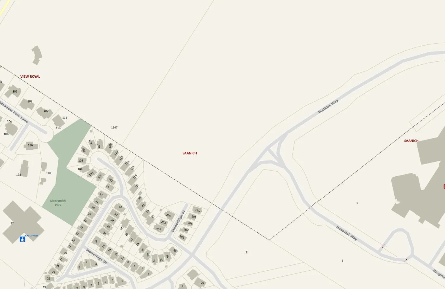
Map Features and Labels:
- New Boundary: Highlighted in red with a measurement of 107.5 M (352.7 Ft).
- Jurisdictions: SAANICH, VIEW ROYAL.
- Parks and Landmarks: Aldersmith Park, Eagle View.
- Roads: Meadow Park Lane, Stoneridge Dr, Stoneridge Pl, Watkiss Way, Hospital Way.
- Scale: 25, 50, 100 Metres.
Important
This map is for general information purposes only. The Capital Regional District (CRD) makes no representations or warranties regarding the accuracy or completeness of this map or the suitability of the map for any purpose. This map is not for navigation. The CRD will not be liable for any damage, loss or injury resulting from the use of the map or information on the map and the map may be changed by the CRD at any time.
Printed Sun, Nov 11, 2012
Regional Community Atlas Capital Regional District gis@crd.bc.ca http://www.crd.bc.ca
Watkiss Way Park: Boundary Adjustment - Proposed
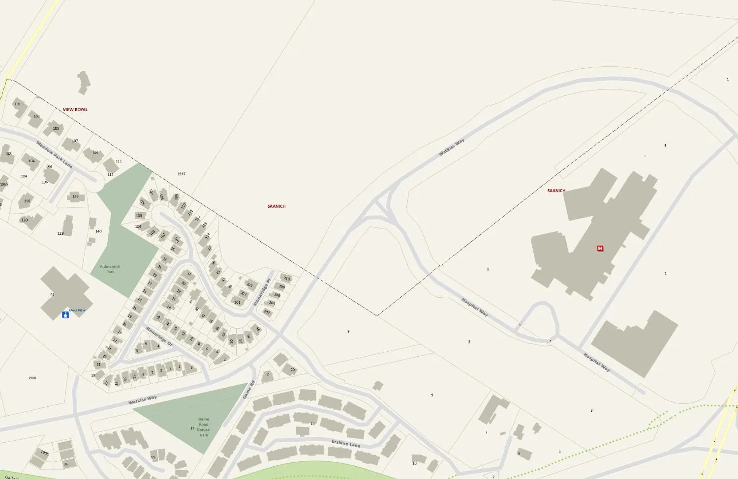
Map Features and Labels:
- Proposed Park Areas (Shaded Red/Pink):
- Watkiss Way Park -Saanich-
- Watkiss Way Park -View Royal-
- Owners Property
- Jurisdictions: SAANICH, VIEW ROYAL.
- Parks and Landmarks: Aldersmith Park, Eagle View, Game Road Natural Park.
- Roads: Meadow Park Lane, Stoneridge Dr, Game Rd, Erskine Lane, Watkiss Way, Hospital Way.
- Scale: 50, 100, 200 Metres.
Important
This map is for general information purposes only. The Capital Regional District (CRD) makes no representations or warranties regarding the accuracy or completeness of this map or the suitability of the map for any purpose. This map is not for navigation. The CRD will not be liable for any damage, loss or injury resulting from the use of the map or information on the map and the map may be changed by the CRD at any time.
Printed Sun, Nov 11, 2012
Regional Community Atlas Capital Regional District gis@crd.bc.ca http://www.crd.bc.ca