Attachments: 283 Kerwood St Dock Permit Application
Technical drawings, property maps, and site photos supporting the dock permit application.
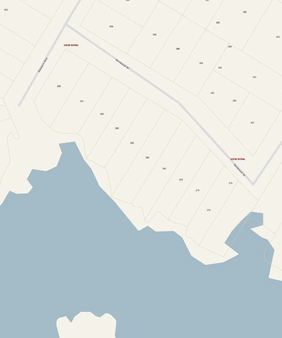
Subject Property Map - 283 Kerwood St
Street Names:
- View Royal Avenue
- Gainsborough Avenue
- Stewart Avenue
- Beaumont Avenue
- Kerwood Street
Subject Property: 283 Kerwood St
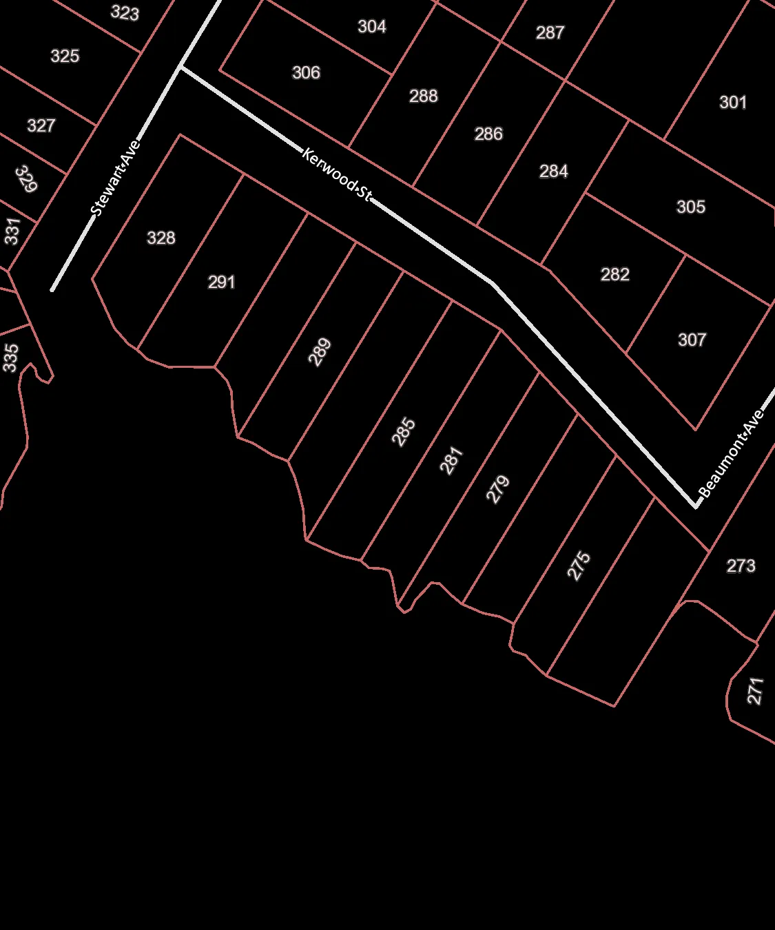
Subject Property Orthophoto
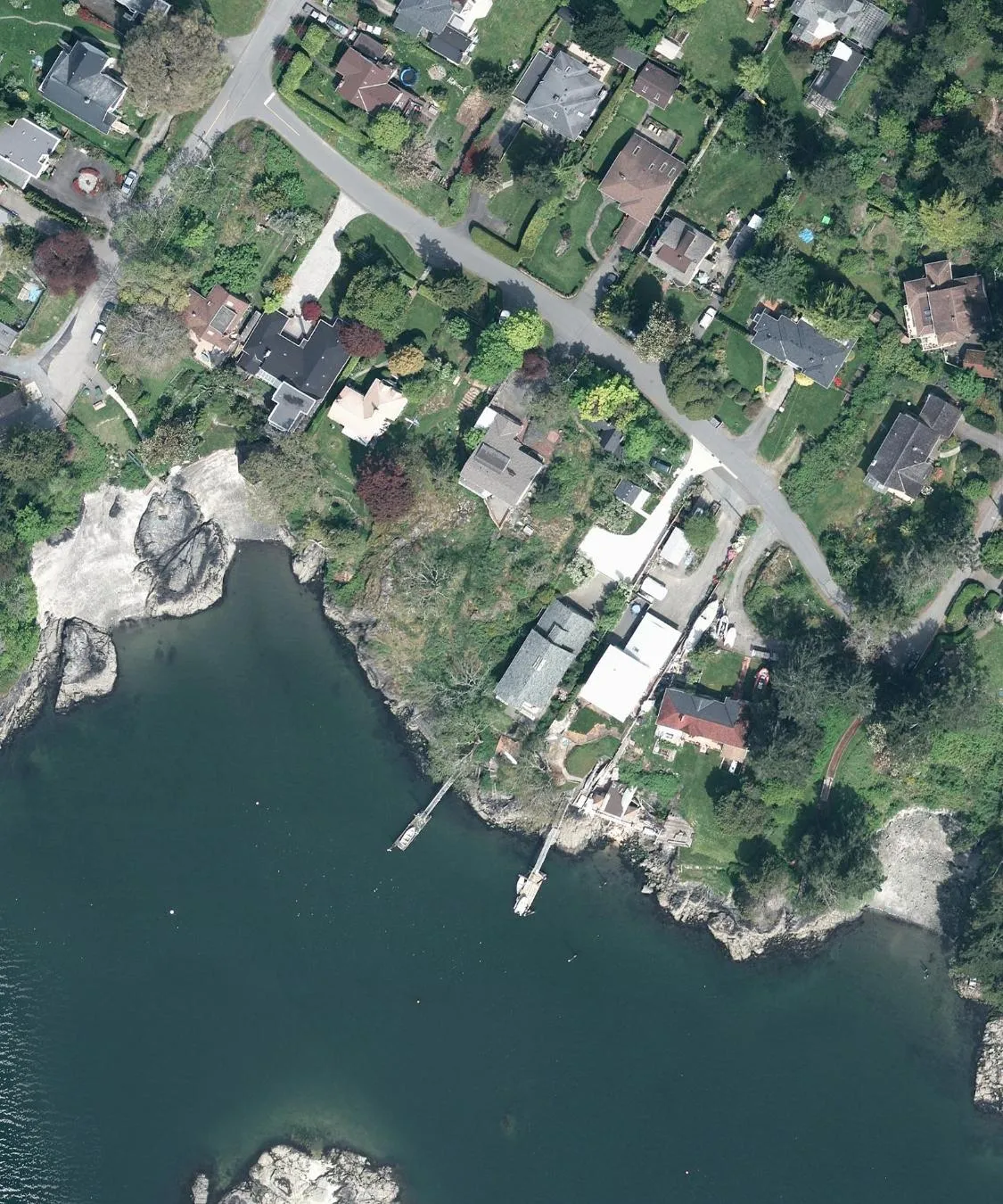
283 Kerwood St Subject Property Orthophoto
Important This map is for general information purposes only. The Capital Regional District (CRD) makes no representations or warranties regarding the accuracy or completeness of this map or the suitability of the map for any purpose. This map is not for navigation. The CRD will not be liable for any damage, loss or injury resulting from the use of the map or information on the map and the map may be changed by the CRD at any time.
Project Overview
February 27, 2013
Dear Mayor and Council,
The following letter gives an overview of the details involved with the proposed private moorage dock structure that has been designed for site conditions at 283 Kerwood Street. As you will notice when reviewing the detailed drawings attached, the proposed design meets all of View Royals “Private Dock Development Guidelines”. This Development Application deals only with the installation of the proposed ramp and dock system along with resurfacing the existing deck sited at the shoreline. (no trees or upland vegetation will be disturbed to complete the works outlined in this application). The following project overview will give you further details on other important factors related to the proposed dock installation.
PROJECT OVERVIEW
Proposed Dock System at 283 Kerwood St, Victoria BC
- Description of proposed work: To reinforce and resurface the existing deck area which is sited at the foreshore and install a ramp down to a 12 metre long floating dock for private moorage
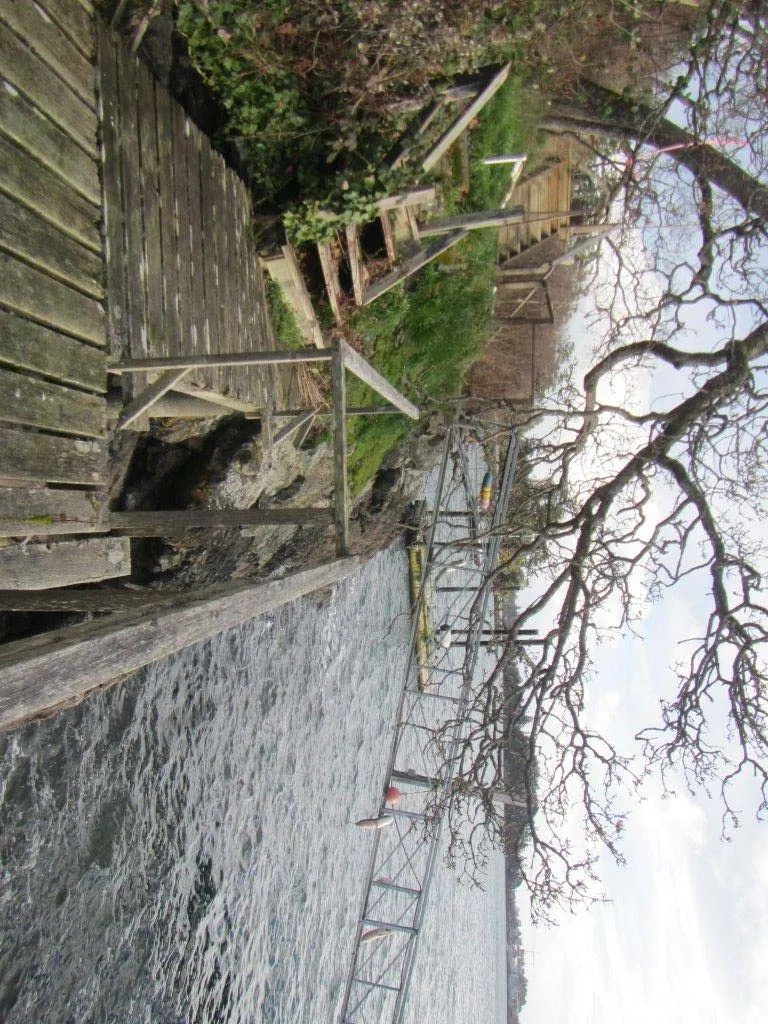
- Location, size and main features of the project: The deck, ramp and dock are to be sited along the foreshore at the southern most property boundary of 283 Kerwood Street, Victoria, BC, V9B 1A2. The existing deck to be included in the license area is an average of 3.7 metres wide by 8.4 metres and this size will remain unchanged. The existing deck is to be reinforced for safety and support of the new ramp structure and the deck surface is to be resurfaced. From the existing deck, a 15 metre long ramp will permit access down to the 12 metre long float. The float system is to be secured in place by 3-4 epoxy coated steel pilings. (see attached diagram for further details)
- Type of activities/uses anticipated: Deck area is to be used for a sitting and sunbathing area (private enjoyment). Dock system to be used for Private moorage for privately owned motor or sailing vessels
- Construction schedule: The anticipated construction schedule would hopefully begin in early to mid May of 2013 (this year) depending on approval times. Once project has been approved and started, the construction time schedule should be approximately 2-4 weeks.
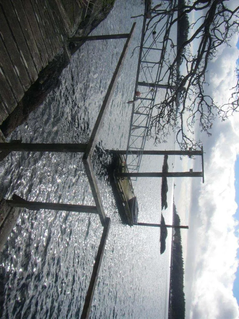
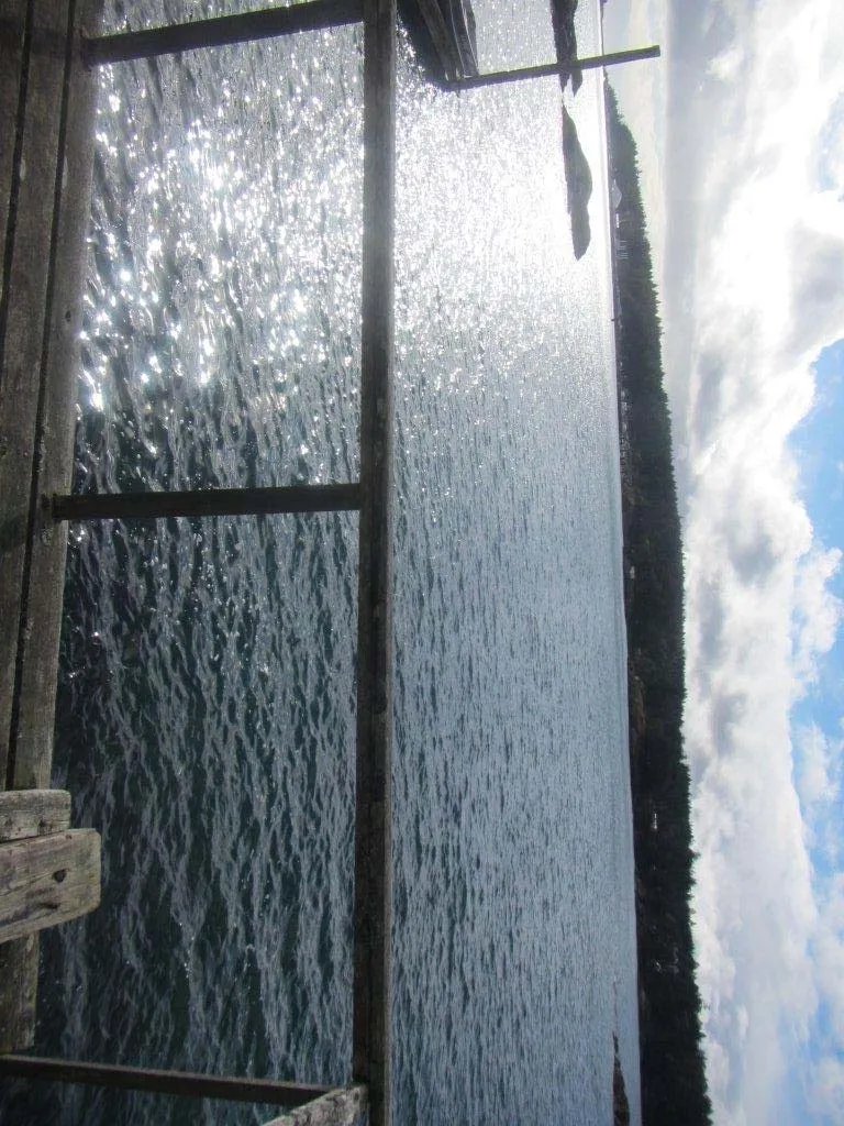
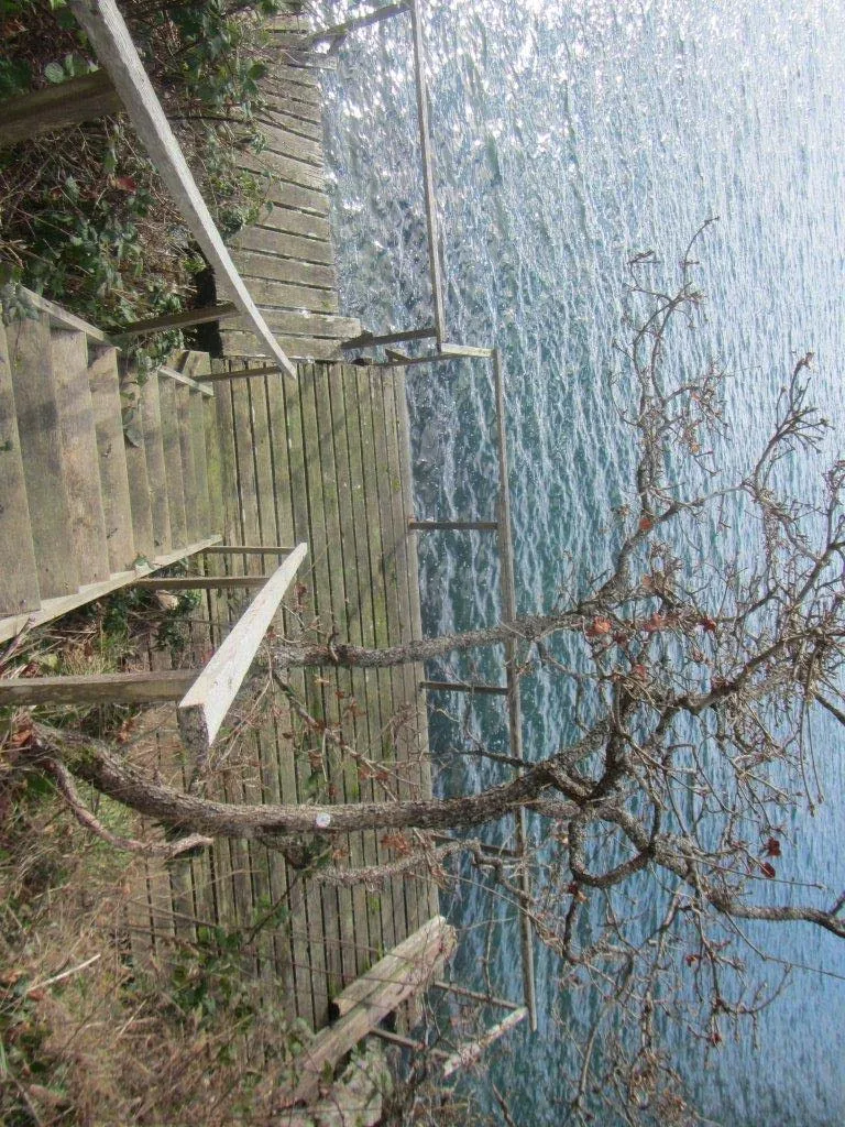
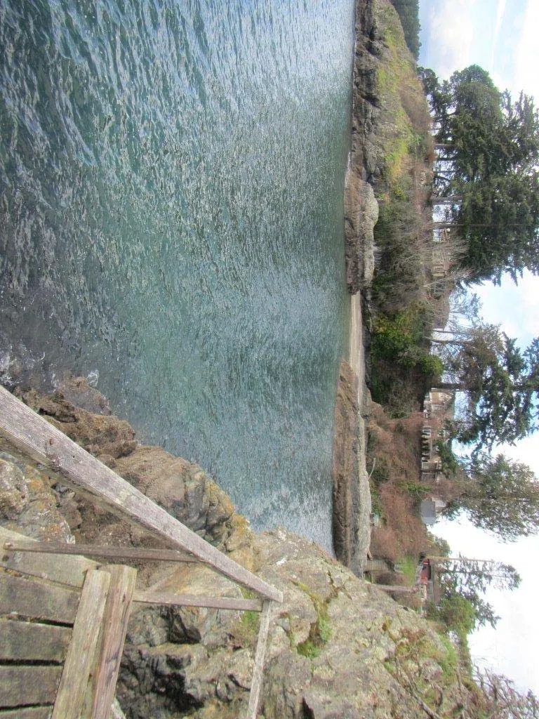
- Indicate how public access is maintained along the foreshore: Due to the extremely steep rock face on the south/west boundary of this foreshore area (see photo attached), public access is not and has not ever been possible or safe along this area of the foreshore at high or low tides. If anything is required differently that what has been drawn, I will gladly review and revise the plan.
- Indicate how the riparian rights of other local upland property owners are maintained: The Riparian rights of the other local upland property owners are maintained on either side of the subject property, as the proposed dock structure is to be located more than 5 metres from both adjacent property boundaries and property line extensions & over 10 meters from any neighboring dock structure.
Thank you for taking the time to consider my application. If there are any questions I have not already answered, feel free to contact me through any of the following measures below.
Sincerely,
Greg Burke 283 Kerwood St., Victoria BC, V9B 1A2 Cell: 250-920-6818 Email: greg.burke@shaw.ca
Proposed Foundation Position
PROPOSED FOUNDATION POSITION UPON LOT 3, BLOCK 12, SECTION 8, ESQUIMALT DISTRICT, PLAN 1688.
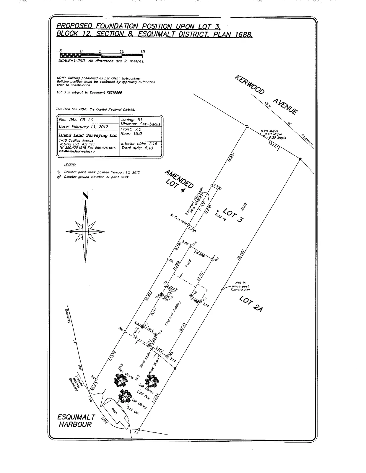
NOTE: Building positioned as per client instructions. Building position must be confirmed by approving authorities prior to construction. Lot 3 is subject to Easement FB219569
Island Land Surveying Ltd. 1-15 Cadillac Avenue Victoria, B.C. V8Z 1T3 Tel 250.475.1515 Fax 250.475.1516
| File: 36A-GB-L0 | Zoning: R1 |
| Date: February 13, 2012 | Minimum Set-backs |
| Front: 7.5 | |
| Rear: 15.0 | |
| Interior side: 2.14 | Total side: 6.10 |
Site Plan, Plan & Cross Section
CUSTOMER: GREG BURKE ADDRESS: 283 KERWOOD STREET, VIEW ROYAL, B.C. DATE: FEB 20, 2013 DRAWN BY: KYLE LEGGETT, AScT JAVA DESIGNS
Key Project Details and Measurements:
- Total Distance between Natural Boundary as per Plan 1688 and end of proposed dock structure = 24.98m
- Existing Deck (to be reinforced & resurfaced): 12' x 27' (3.65m x 8.23m)
- Aluminum Ramp: 15m x 1.6m
- Float: 12' x 40' (3.90m x 12.00m)
- Pilings: ø12" (0.3m) Epoxy-Coated Steel Piling
- Floatation: H.D.P.E. Encapsulated styrofoam billets
- Head Frame: 12"x12" (0.3m x 0.3m) Pressure Treated Fir
Site Photos
Document Images
(4)