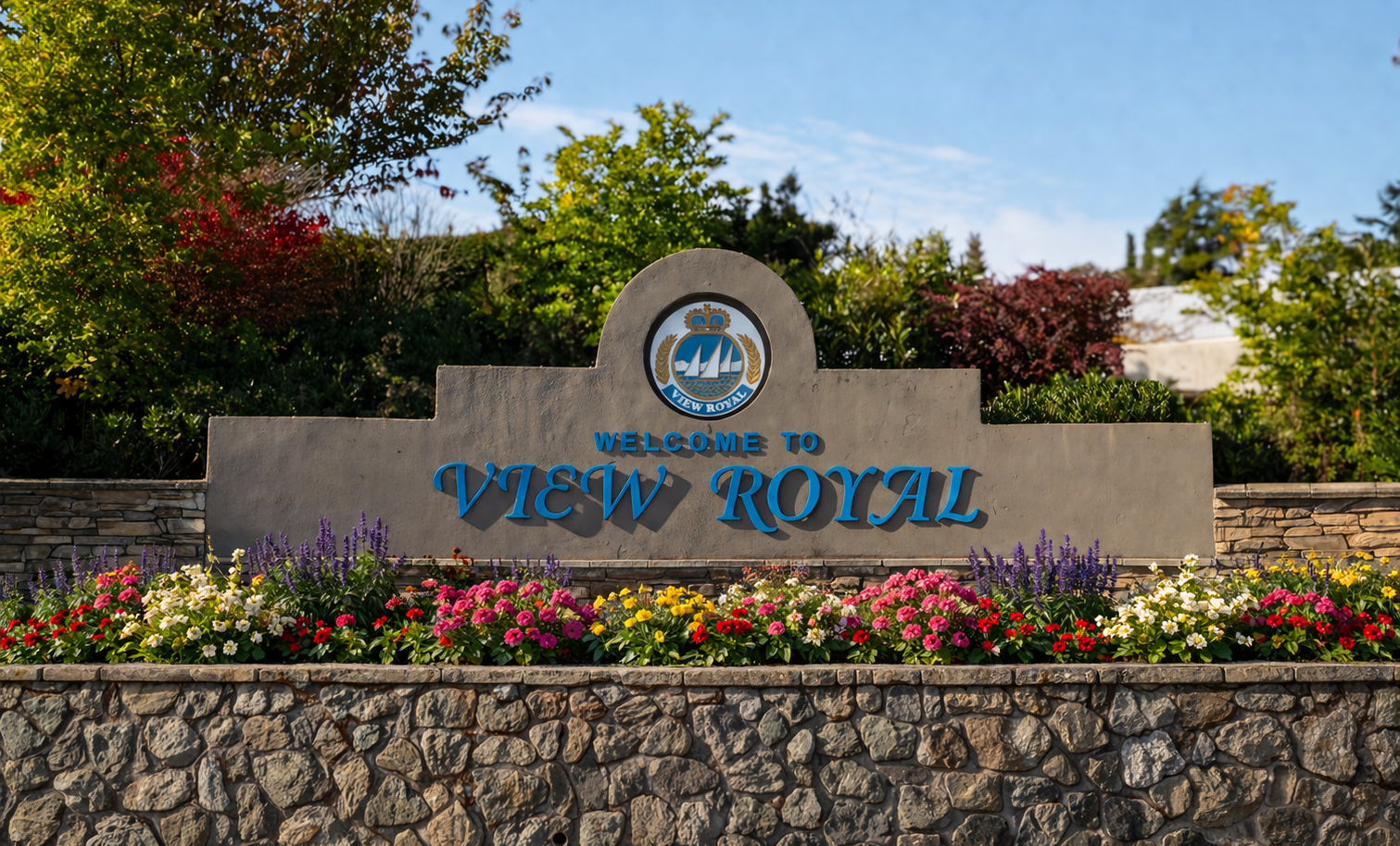
View Royal 2050: Our Future View Official Community Plan Clean Final Draft
Attachment 3 to the OCP report, representing the clean, updated final draft of the complete Official Community Plan.
View Royal 2050: Our Future View - Official Community Plan DRAFT
Territorial Acknowledgement
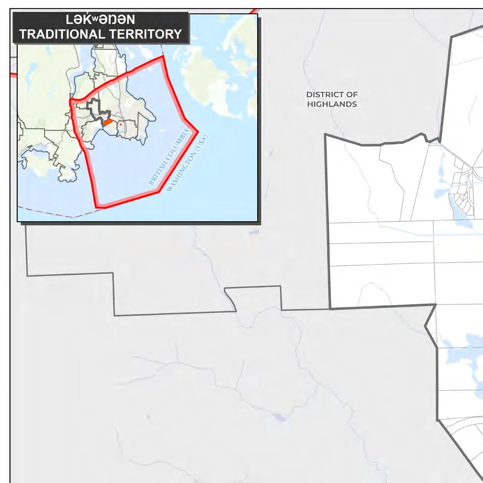
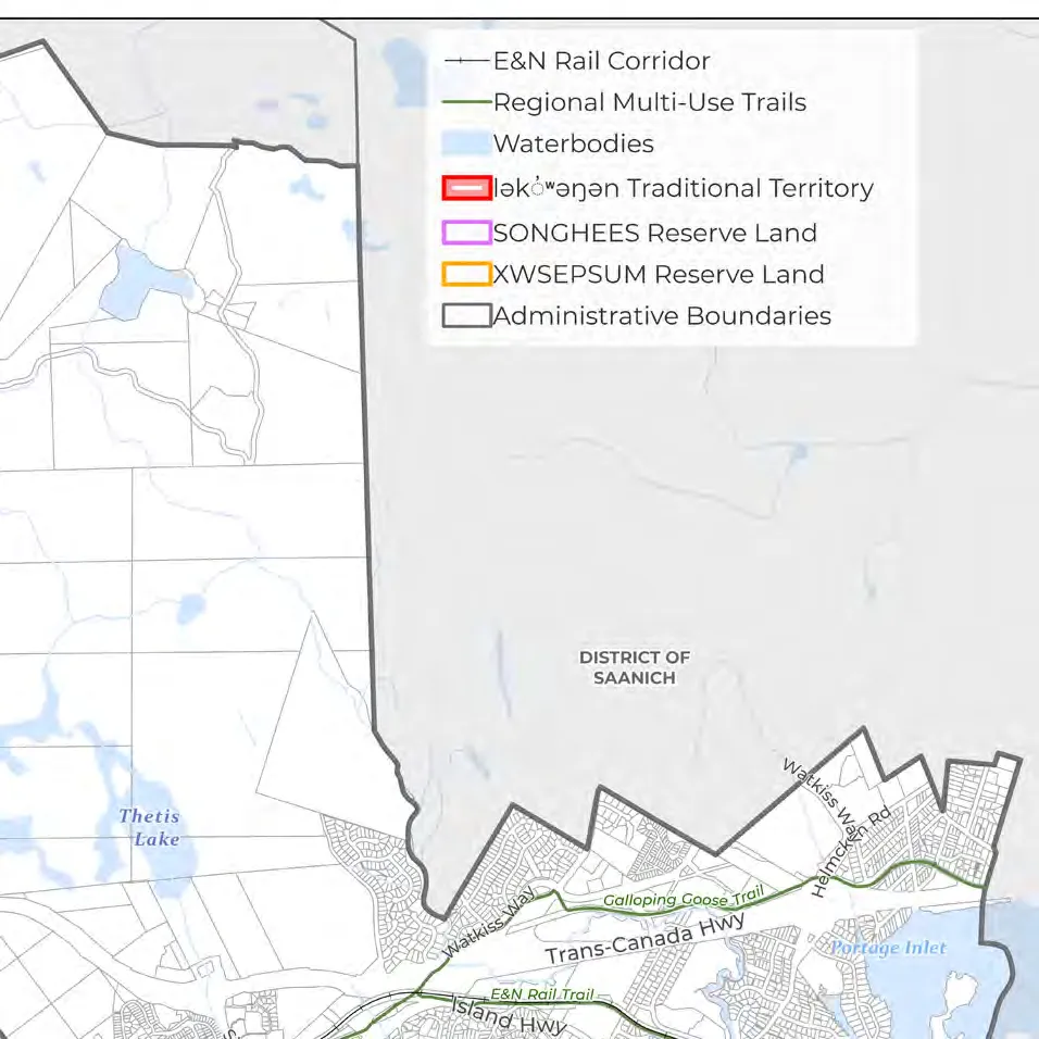
The Town of View Royal humbly acknowledges that it is situated upon the unceded traditional territories of the lək̓ʷəŋən (Lekwungen) Peoples, known today as the Xʷsepsəm (Esquimalt) and Songhees Nations. We honour and respect the history, languages, ceremonies, and culture of the First Nations peoples, including the Xʷsepsəm and Songhees Nations, as well as the Métis, Inuit, and Non-Status Aboriginal Peoples whose presence and culture enrich the community.
These lands have been stewarded by the lək̓ʷəŋən Peoples since time immemorial, and their connection to the land and waters and Title and rights in these territories remain intact. As a local government, we are settlers and guests on these lands and acknowledge our responsibility to the land, its resources, and its people. We give thanks to the lək̓ʷəŋən People—past, present, and future—for their stewardship, care, and leadership on these lands.
Contents
Part One: The Plan Context 1.0 Plan Overview 2.0 View Royal 2050 3.0 Reconciliation 4.0 The History of View Royal
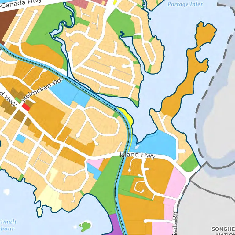
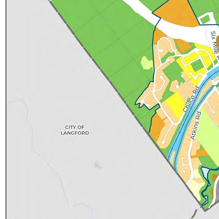
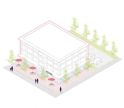
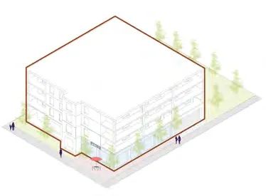
Part Two: Land Use 5.0 Land Use 5.1 General Framework and Considerations 5.2 Western Gateway Employment District Corridor Designation 5.3 Hospital Transit-Oriented Area Designation 5.4 Neighbourhood Village Designation 5.5 Neighbourhood Centre Designation 5.6 Commercial Designation 5.7 Intensive Mixed Use Designation 5.8 Neighbourhood Mixed Use Designation 5.9 Mixed Residential Designation 5.10 Small-Scale Multi-Unit Housing Designation 5.11 Residential Designation 5.12 Large Lot Residential Designation 5.13 Rural Designation 5.14 Community Facility Designation 5.15 Parks, Trails and Open Space Designation 5.16 Thetis Cove Special Planning Area Designation
Part Three: Reconciliation 6.0 Reconciliation
Part Four: Policies 7.0 Housing 8.0 Transportation and Mobility 9.0 Community Infrastructure and Services 10.0 Economic Development 11.0 Natural Environment and Hazards 12.0 Climate Action and Sustainability 13.0 Parks, Trails, and Recreation 14.0 Community Well-Being and Culture
Part Five: Implementation 15.0 Action Plan 16.0 Regional Context Statement
Part Six: Development Permit Areas
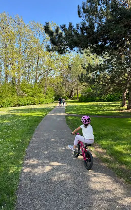
Appendix A: Community Profile Glossary
Table of Maps
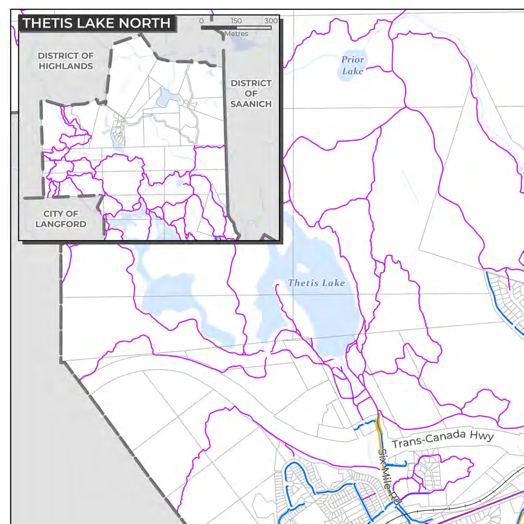
- Map 1: Land Use
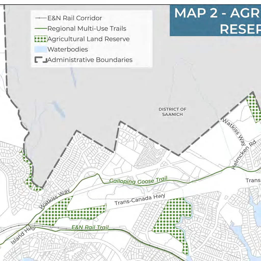
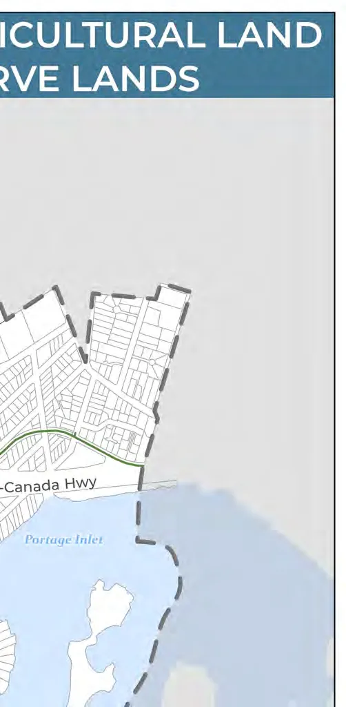
- Map 2: Agricultural Land Reserve Lands
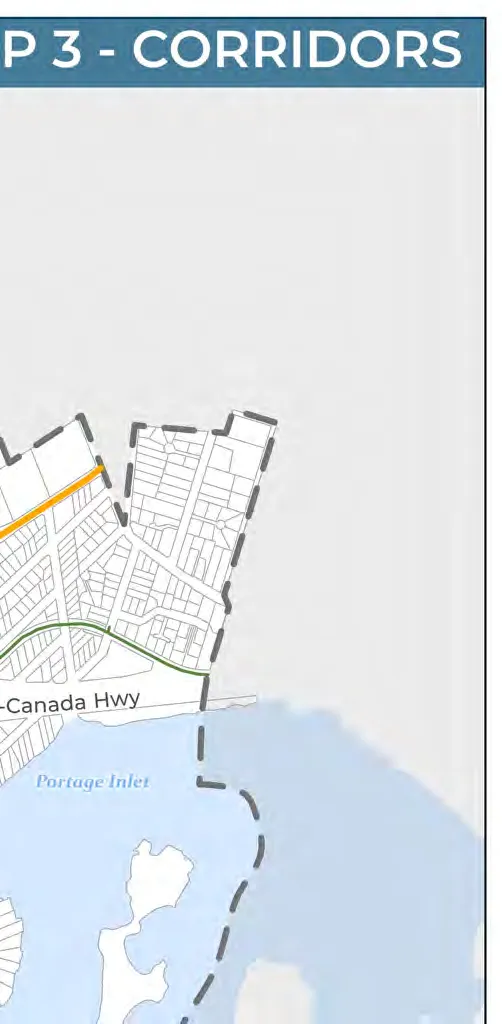
- Map 3: Corridors
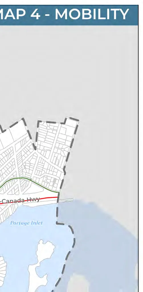
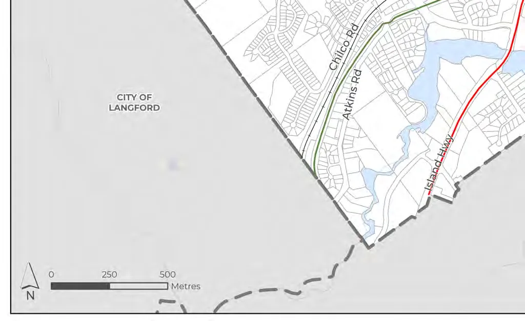
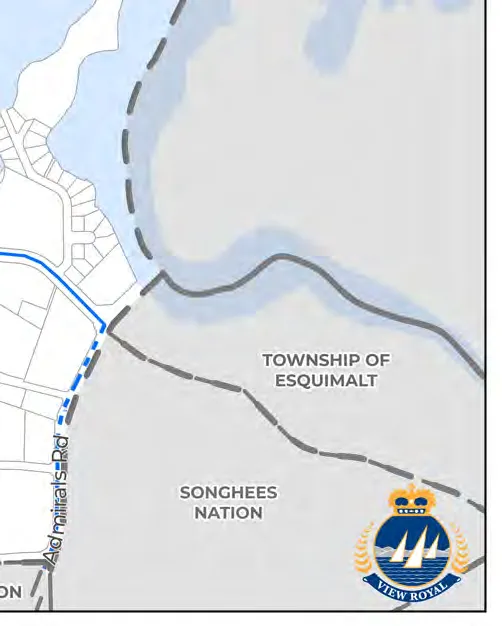
- Map 4: Mobility
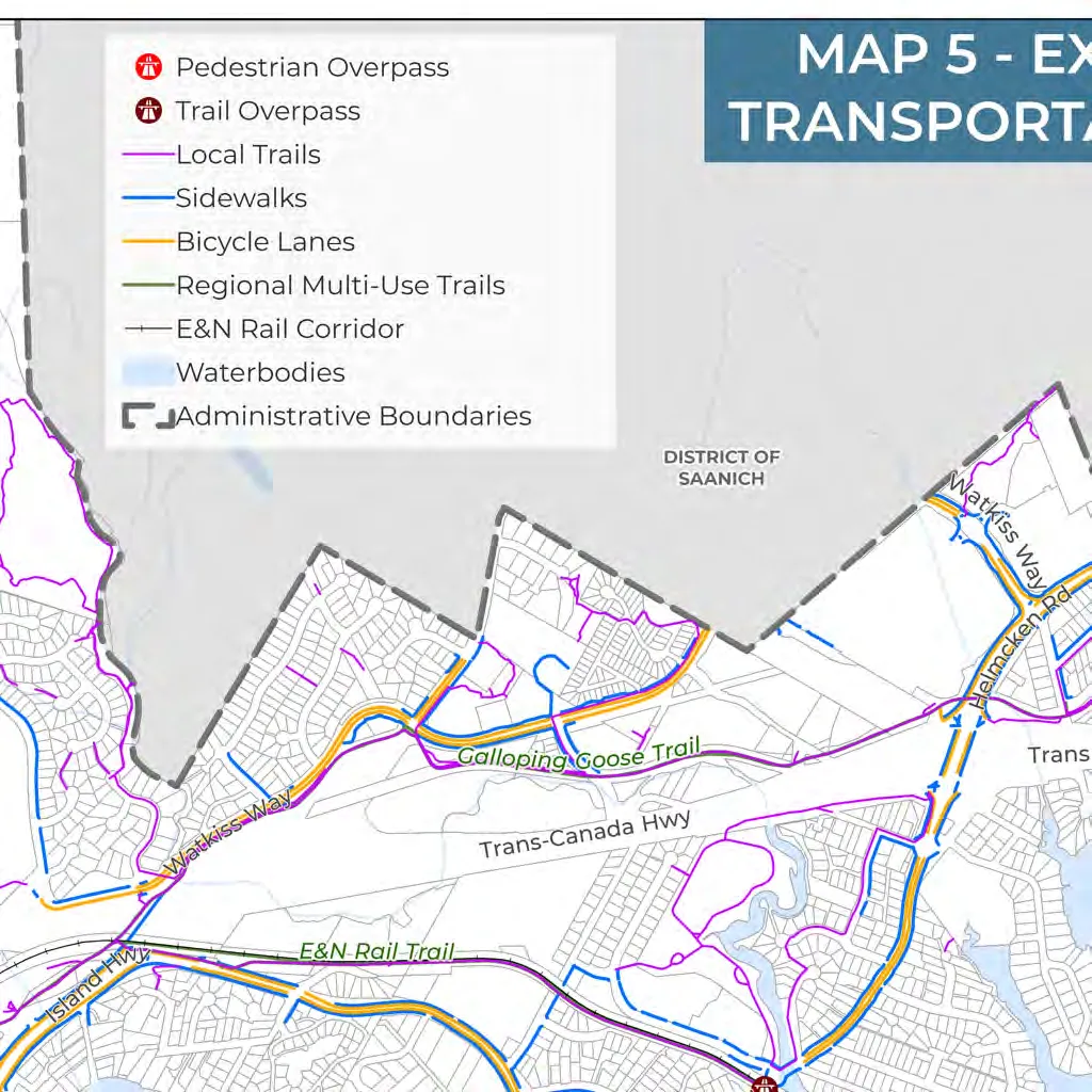
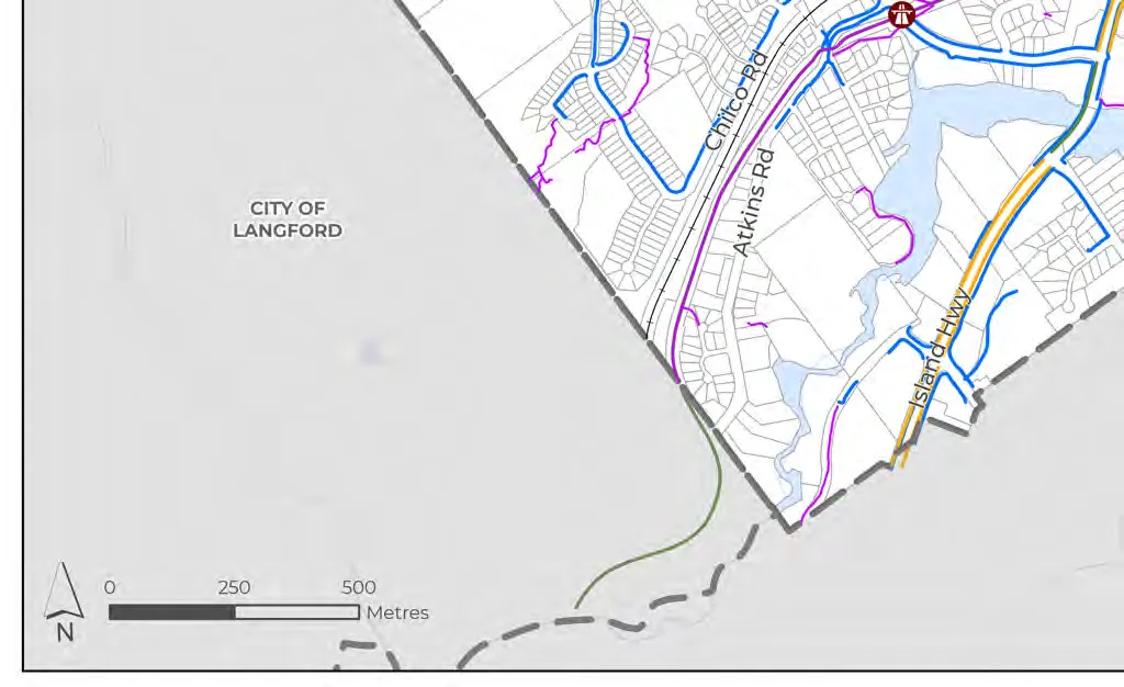
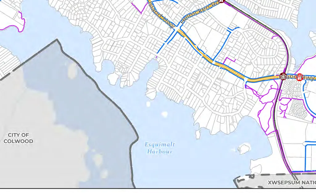
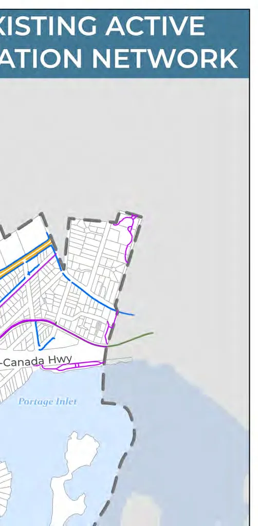
- Map 5: Existing Active Transportation Network
- Map 6: Future Pedestrian Network
- Map 7: Future Cycling Network
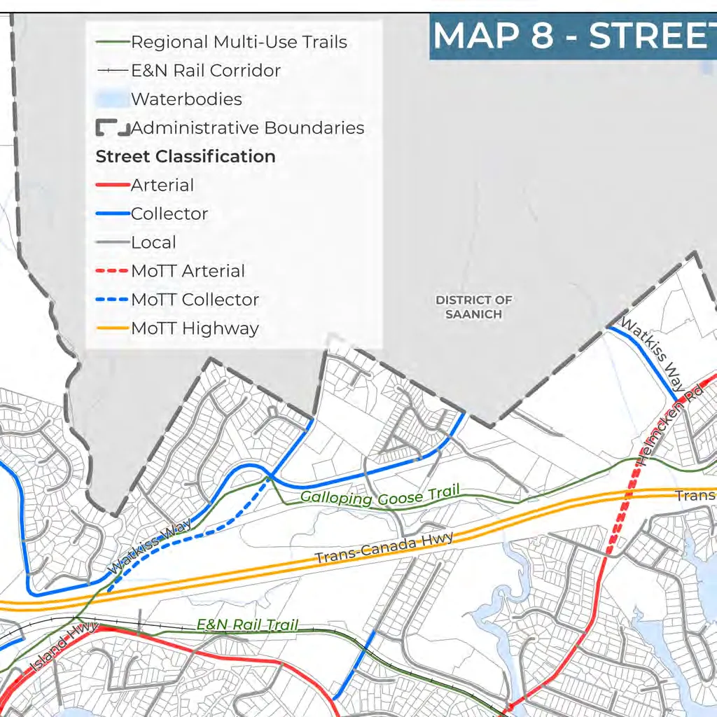
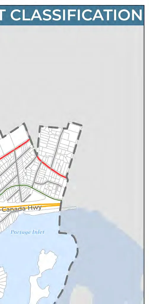
- Map 8: Street Classification
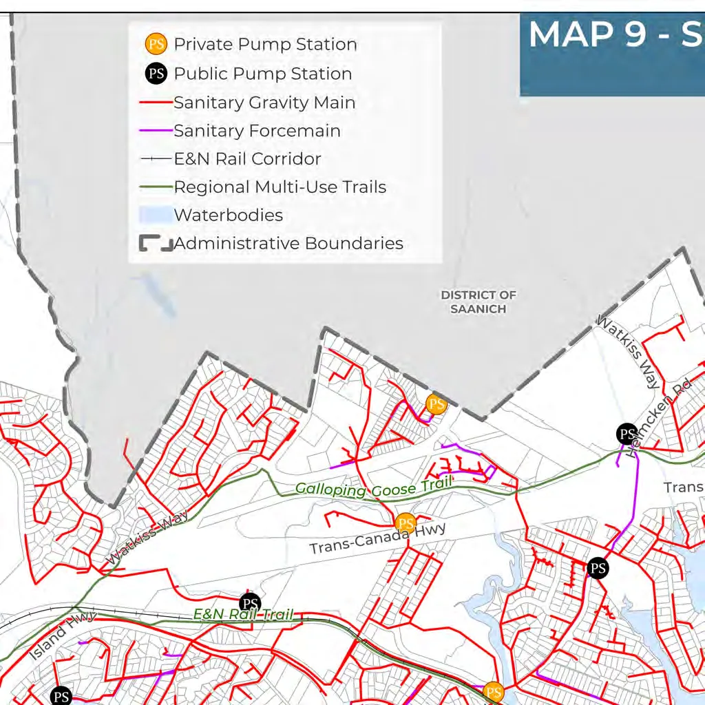
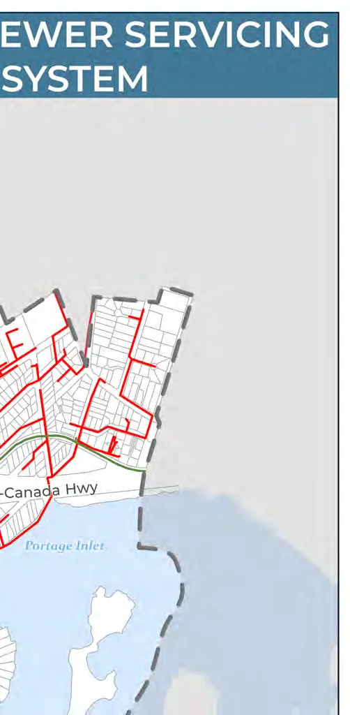
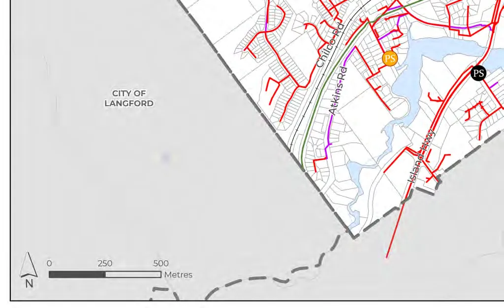
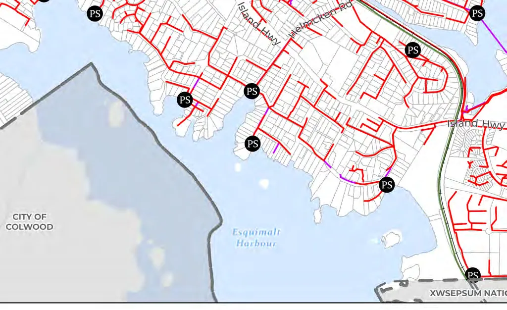
- Map 9: Sewer Servicing System
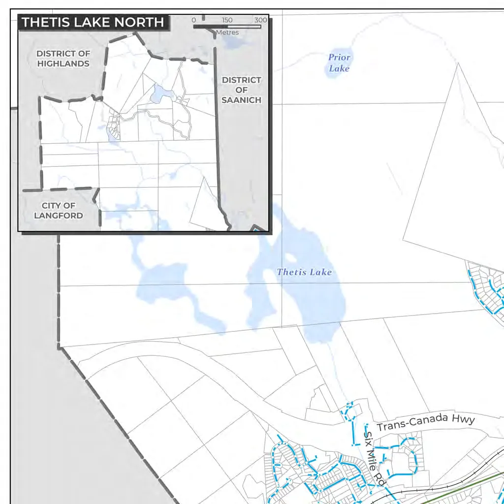
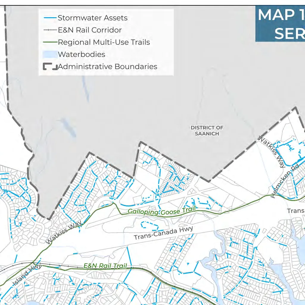
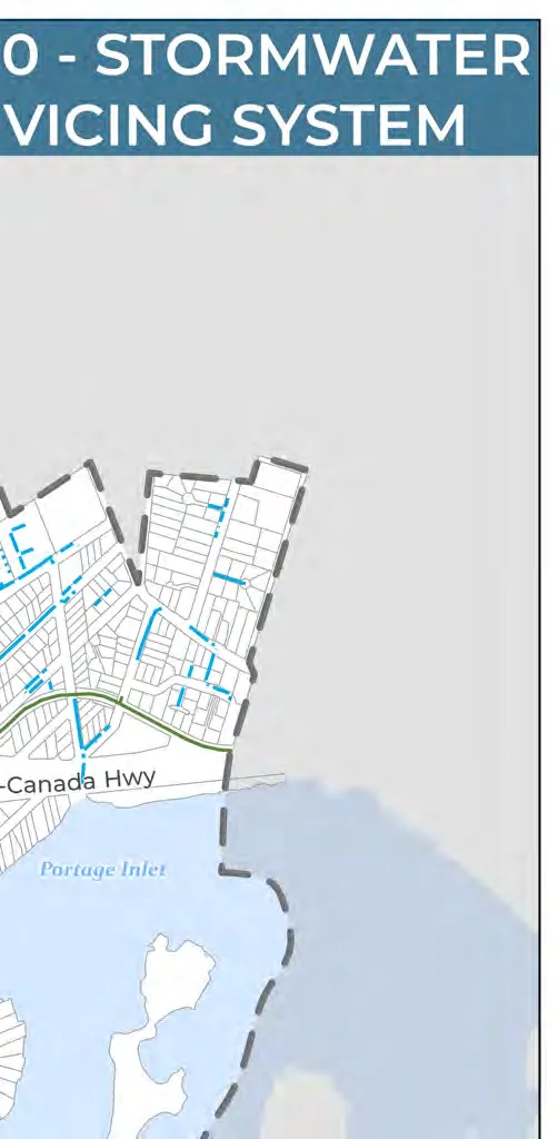
- Map 10: Stormwater Servicing System
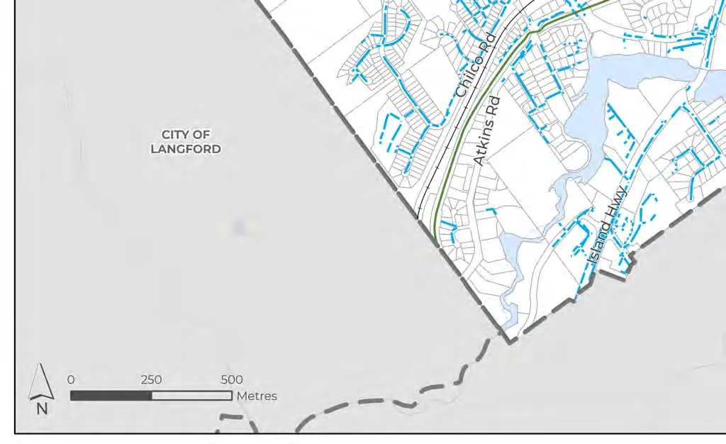
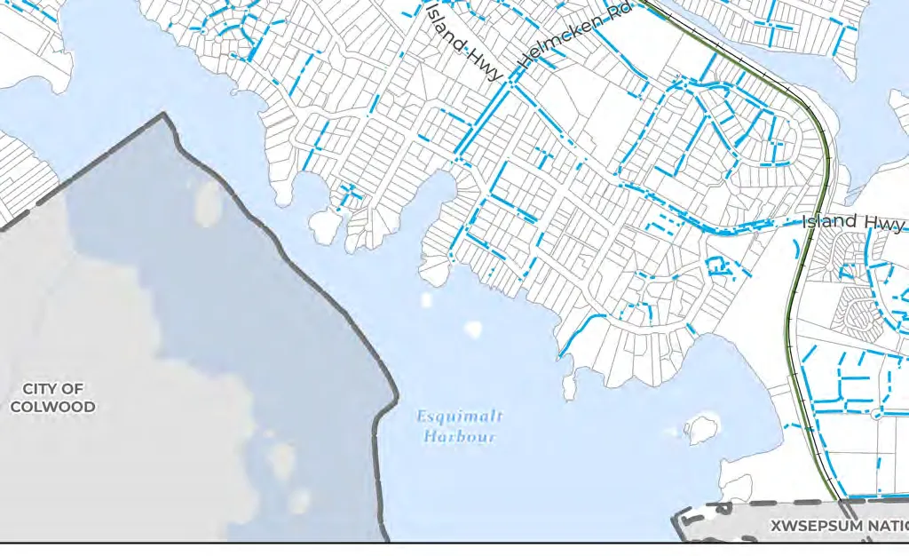
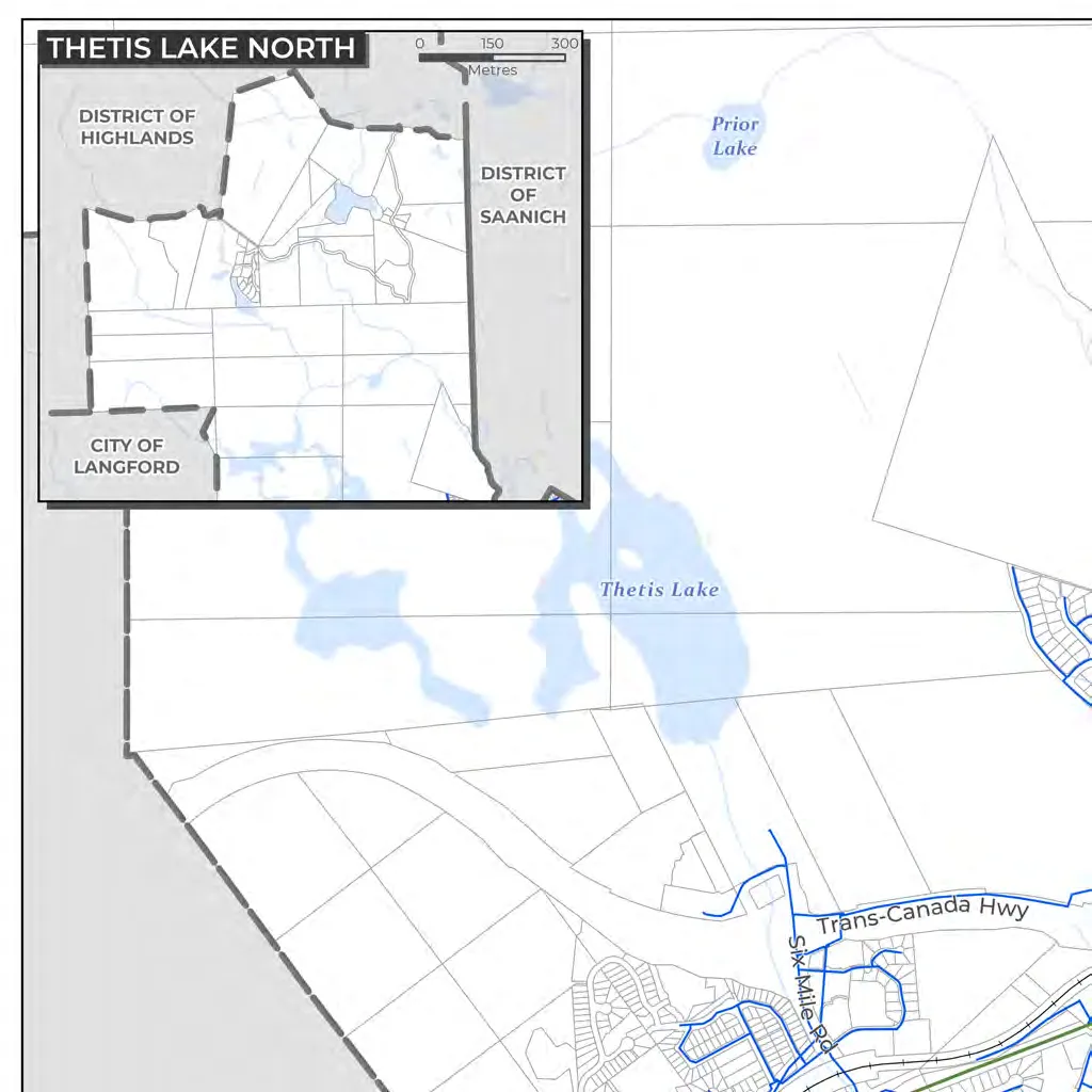
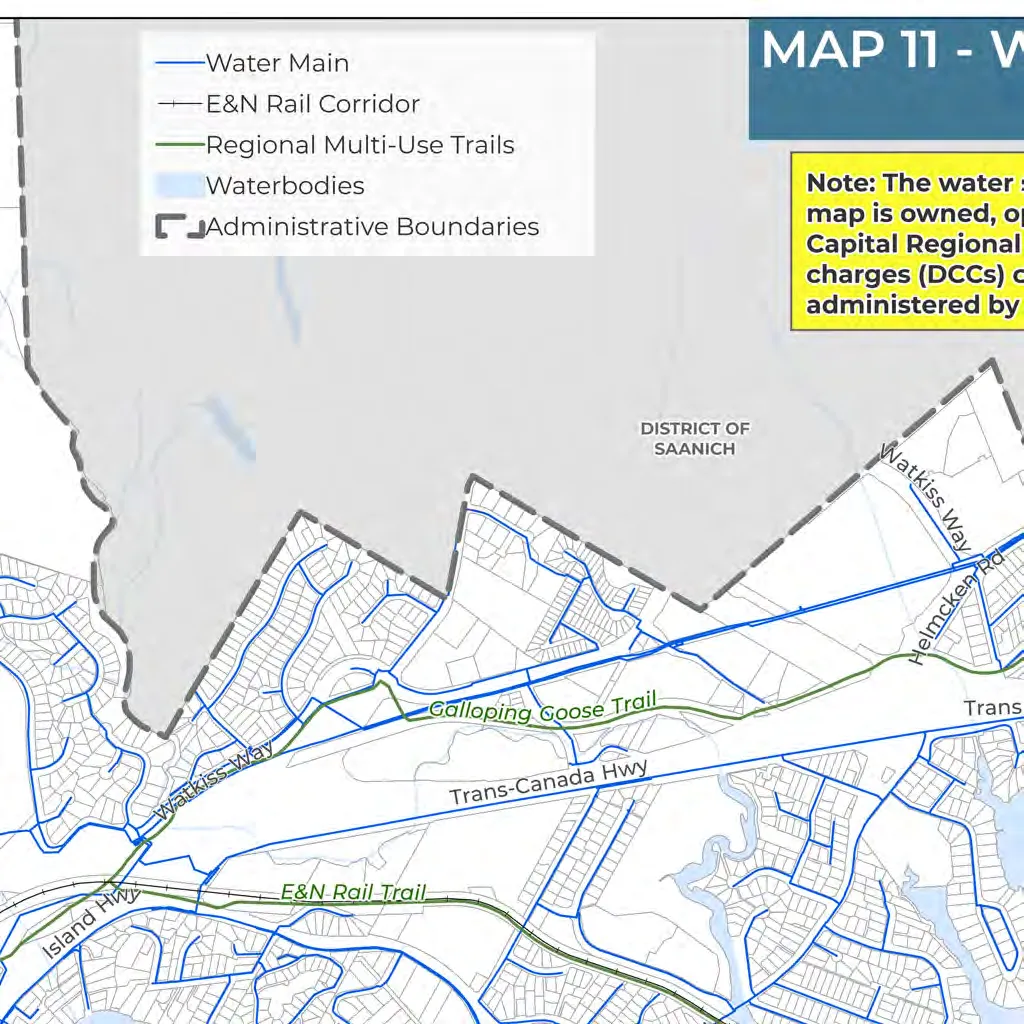
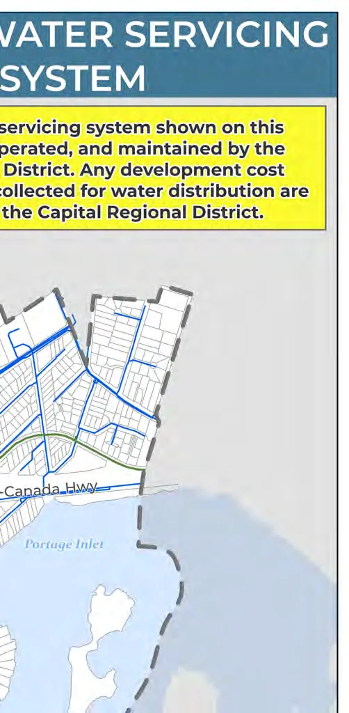
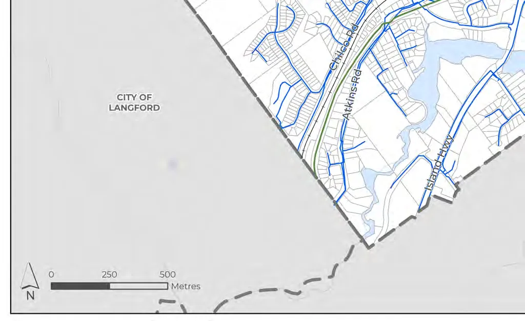
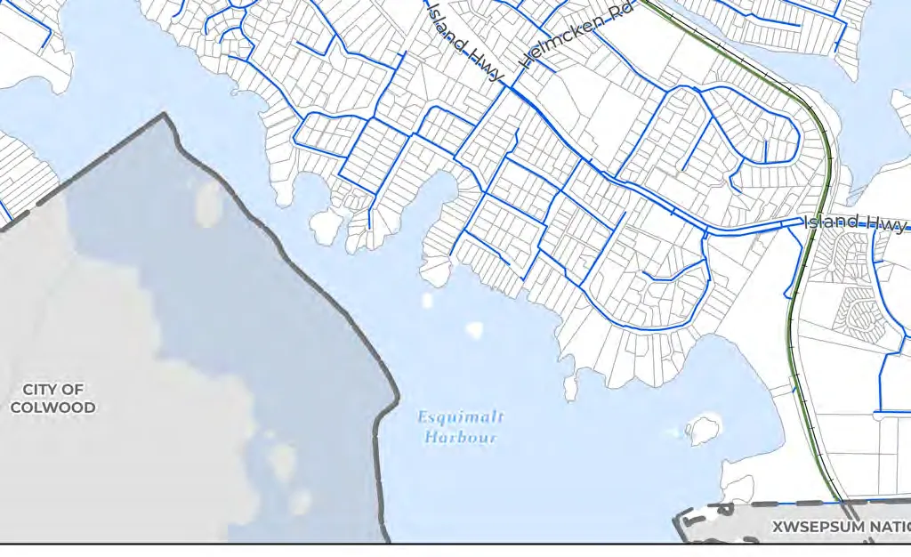
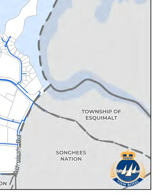
- Map 11: Water Servicing System
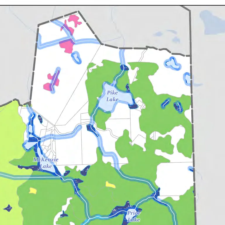
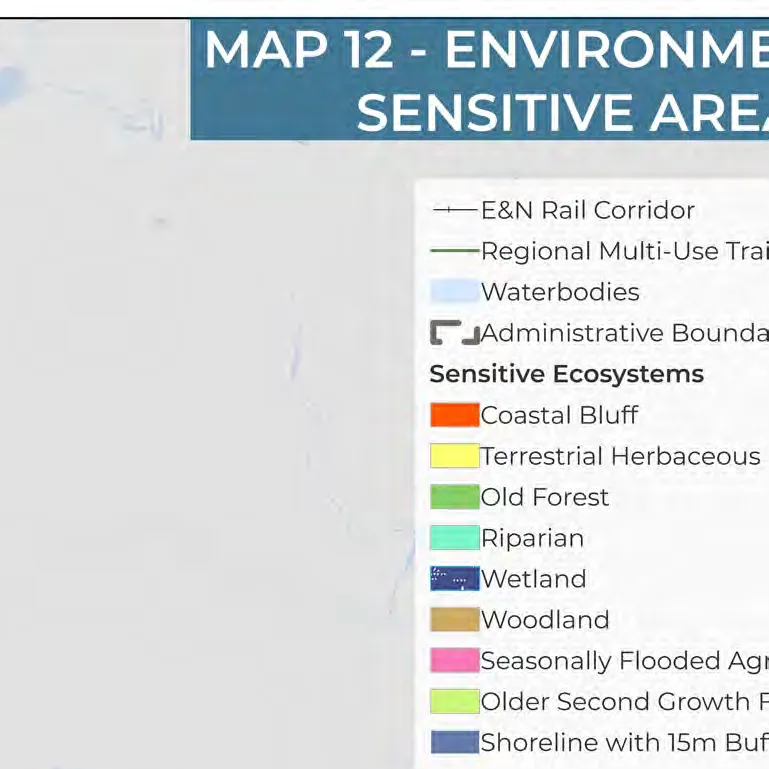
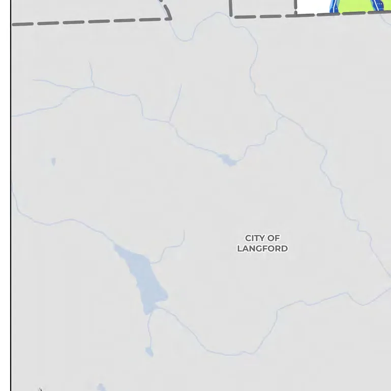
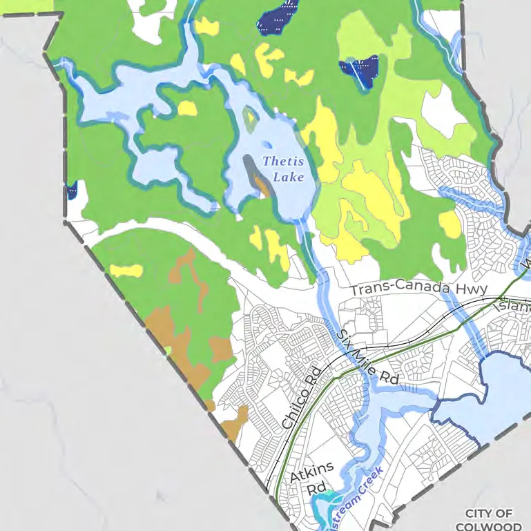
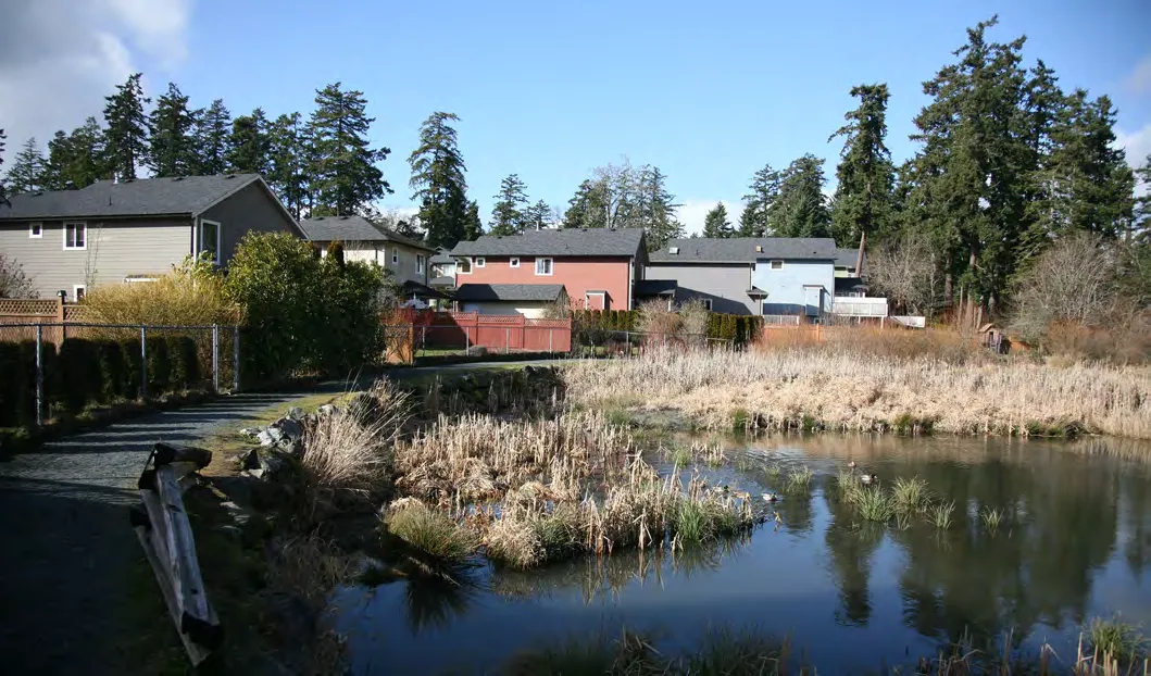
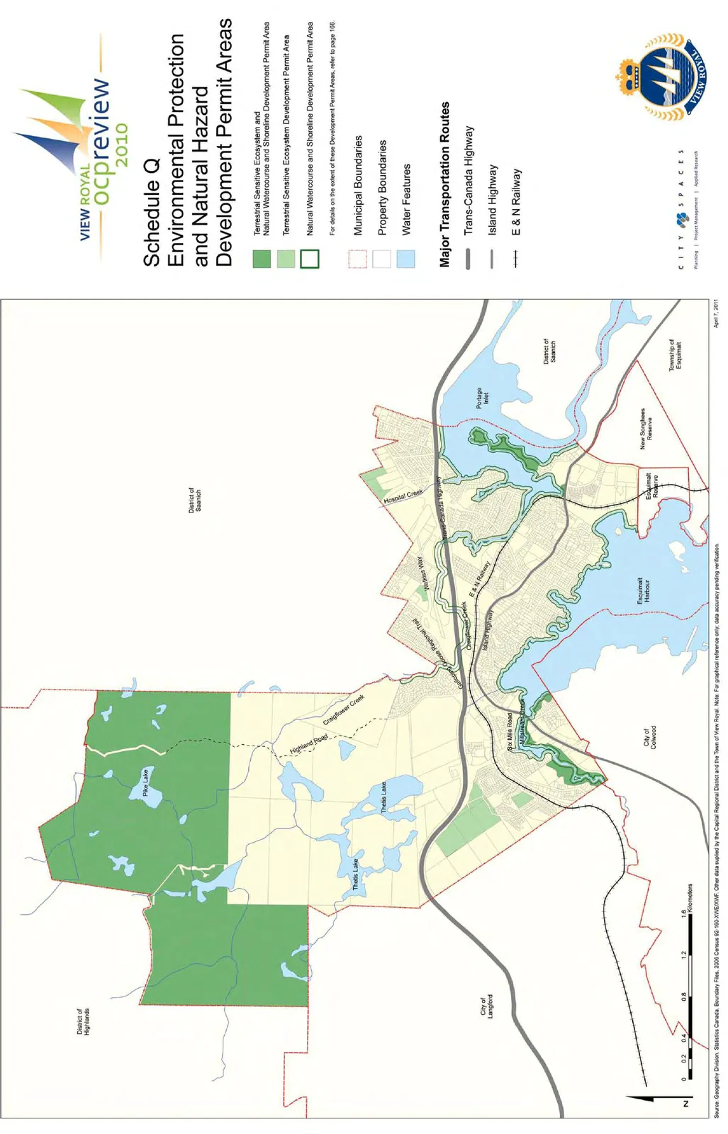
- Map 12: Environmentally Sensitive Areas
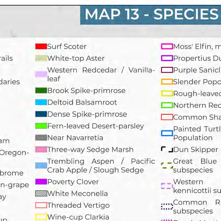
- Map 13: Species at Risk
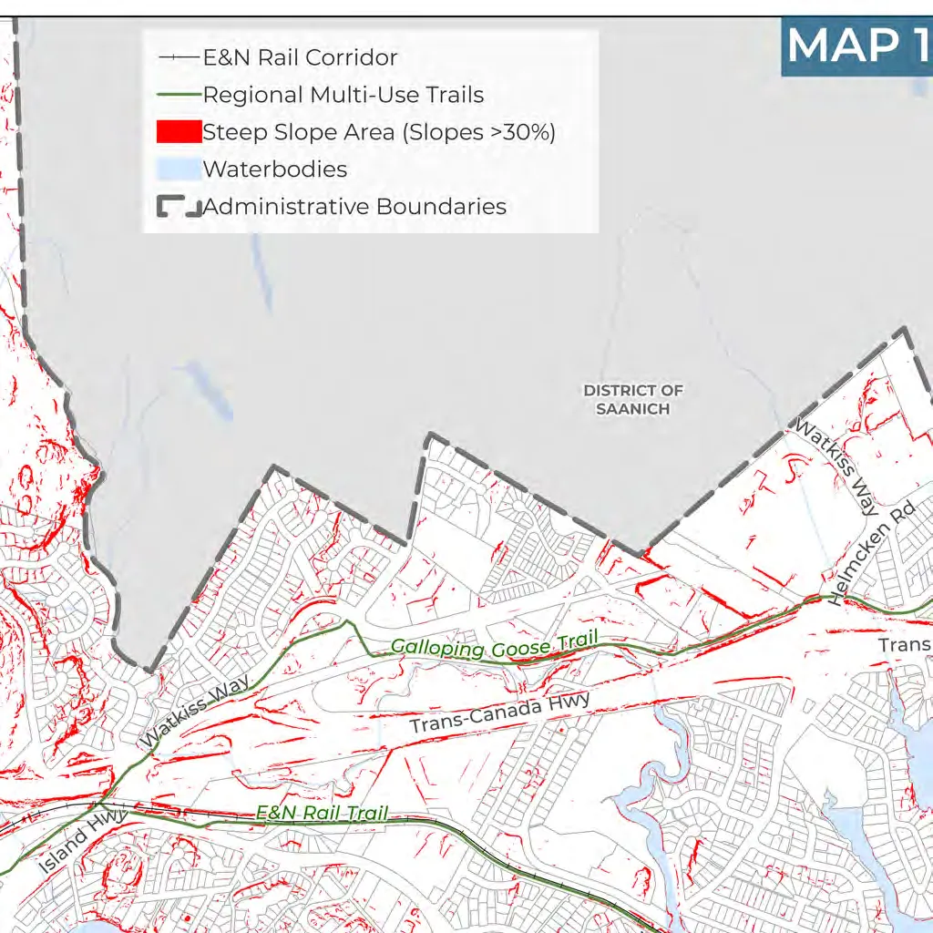
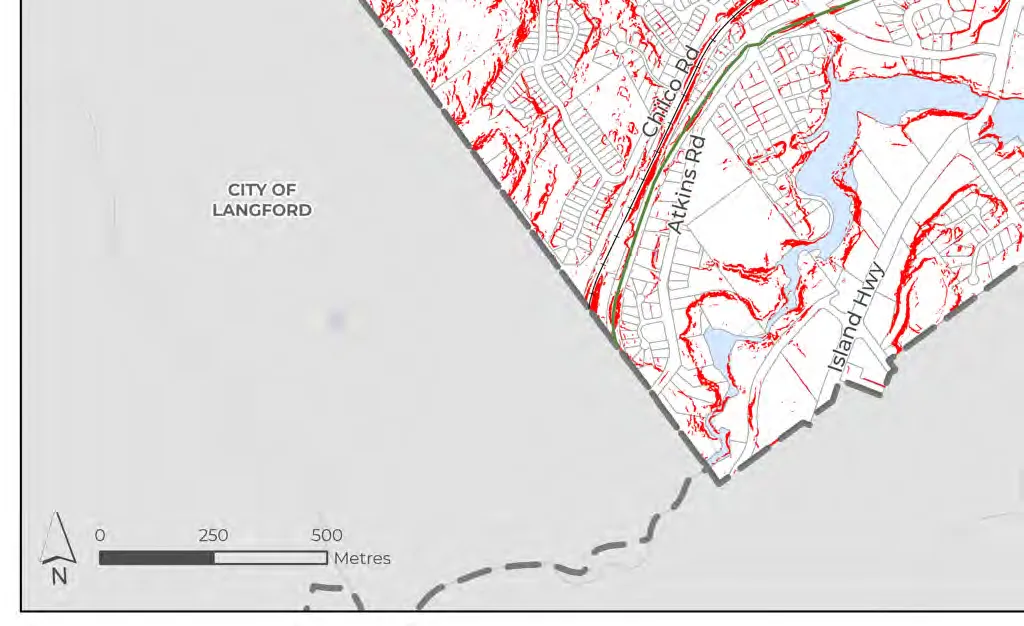
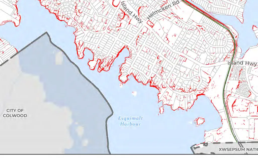
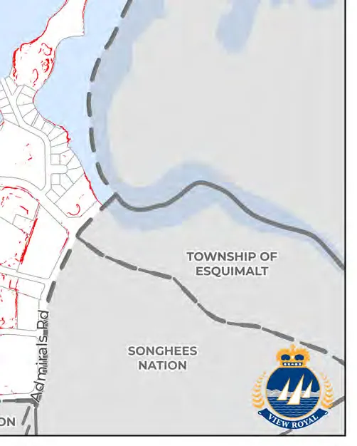
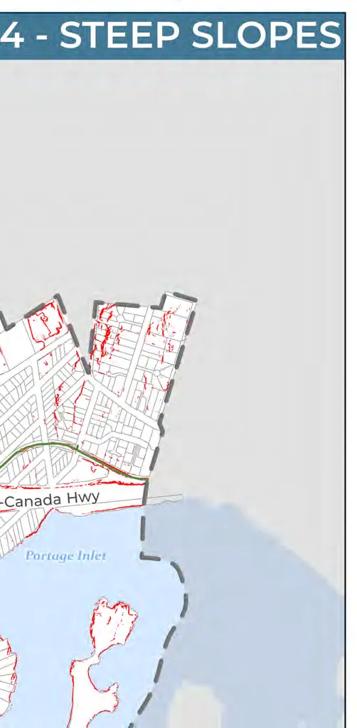
- Map 14: Steep Slopes
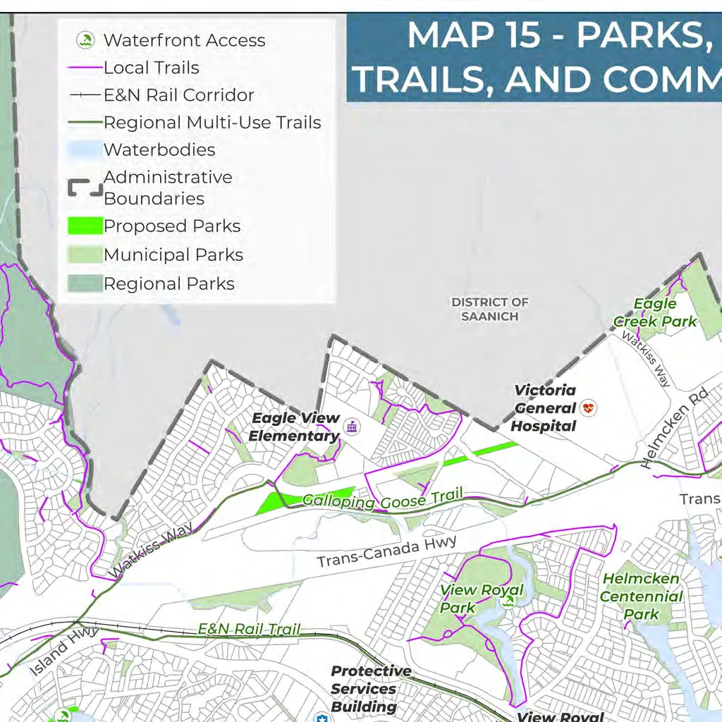
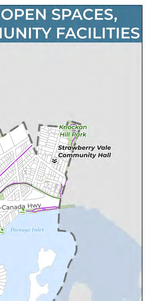
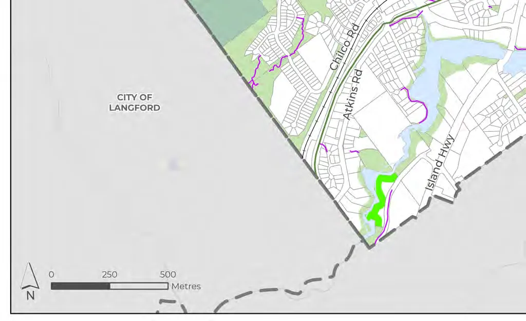
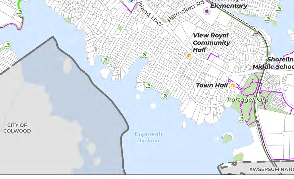
- Map 15: Parks, Open Spaces, Trails, and Community Facilities
Part One: The Plan Context
1.0 Plan Overview
1.1 WHAT IS AN OFFICIAL COMMUNITY PLAN?
This Official Community Plan (OCP) titled “View Royal 2050: Our Future View" represents the Town’s vision and goals for the coming decades. It is a comprehensive, long-term policy document that guides how the community will grow and respond to key opportunities.
LEGISLATIVE REQUIREMENTS The Local Government Act grants local governments in BC the authority to adopt an Official Community Plan. In November 2023, the provincial government released legislation requiring municipalities to identify 5- and 20-year housing needs and update their OCPs and zoning bylaws by December 31, 2025. The Town fulfilled requirements by adopting new designations: Hospital Transit-Oriented Area, Neighbourhood Village, and Small-Scale, Multi-Unit Housing.
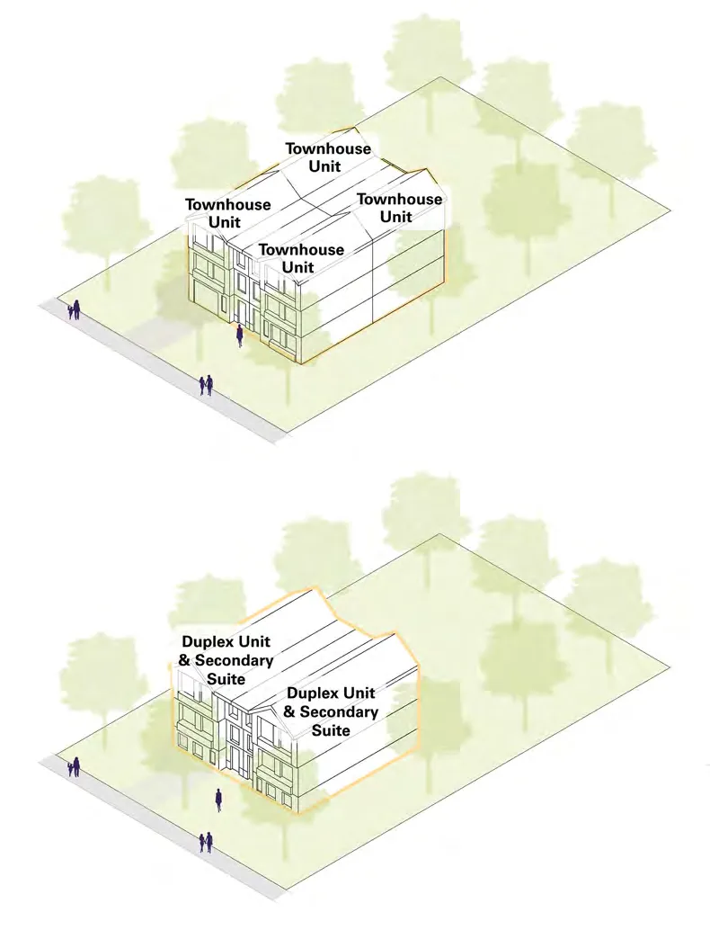
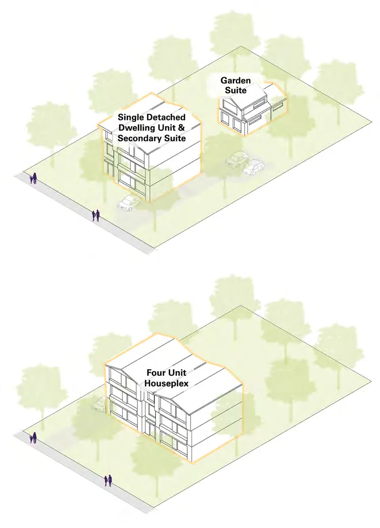
SMALL-SCALE, MULTI-UNIT HOUSING AND TRANSIT ORIENTED AREAS Under Bills 44 and 47 (November 2023), the Town amended all single-family and duplex zones to permit Small-Scale, Multi-Unit Housing (SSMUH), allowing 3, 4, or 6 dwelling units depending on lot size and location.
HOUSING TARGET ORDER As of receiveing the order in July 2024, the Town is on track to complete its target, with approximately 499 units completed to date.
1.2 HOW WE GOT HERE
The process was carried out in three phases:
- Phase 1 (Jan 2025 - Dec 2025): Vision, Land Use, Housing, & Special Planning Areas.
- Phase 2 (Oct 2025 - July 2026): General Policies, Regional Context Statement, & Action/Implementation Strategy.
- Phase 3 (Fall 2026 - 2027): Development Permit Areas & Guidelines.
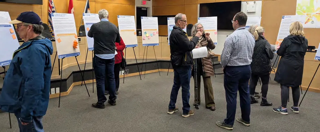
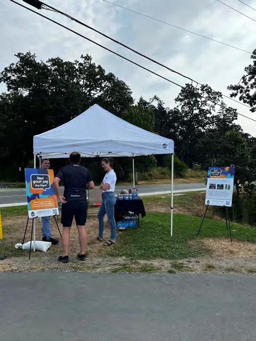
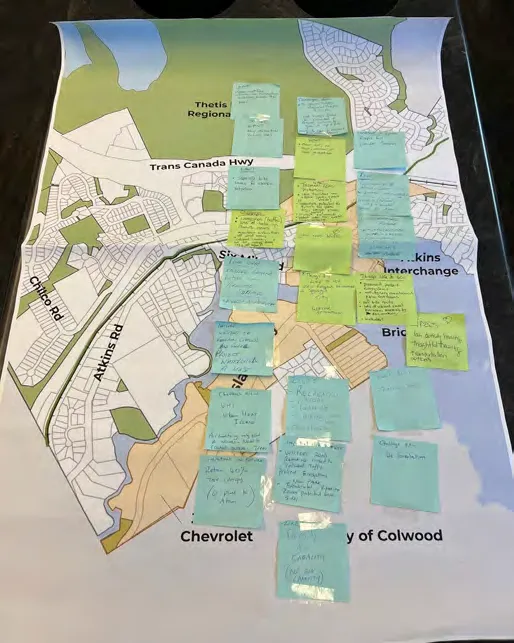
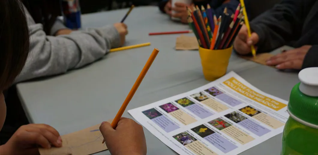
A SUMMARY OF ENGAGEMENT The engagement included:
- 8 Pop-up events
- 6 Open houses
- 6 Workshops
- 540 Survey responses
- 86 Youth survey responses
- 54 Map comments
- 199 Social media posts
- 3,452 Unique website visitors
- 7 OCP Advisory Committee Meetings
- 17 Presentations to Council/Committee of the Whole
1.3 HOW TO USE THIS OFFICIAL COMMUNITY PLAN
The OCP establishes a clear framework for decision-making. Navigating the document requires consideration of its six parts:
- Part One: The Plan Context
- Part Two: Land Use
- Part Three: Reconciliation
- Part Part Four: Policies
- Part Five: Implementation
- Part Six: Development Permit Areas
2.0 View Royal 2050
2.2 VISION
View Royal is a thriving, welcoming, inclusive community where people live close to nature, services, and amenities that foster health and well-being.
2.3 GOALS
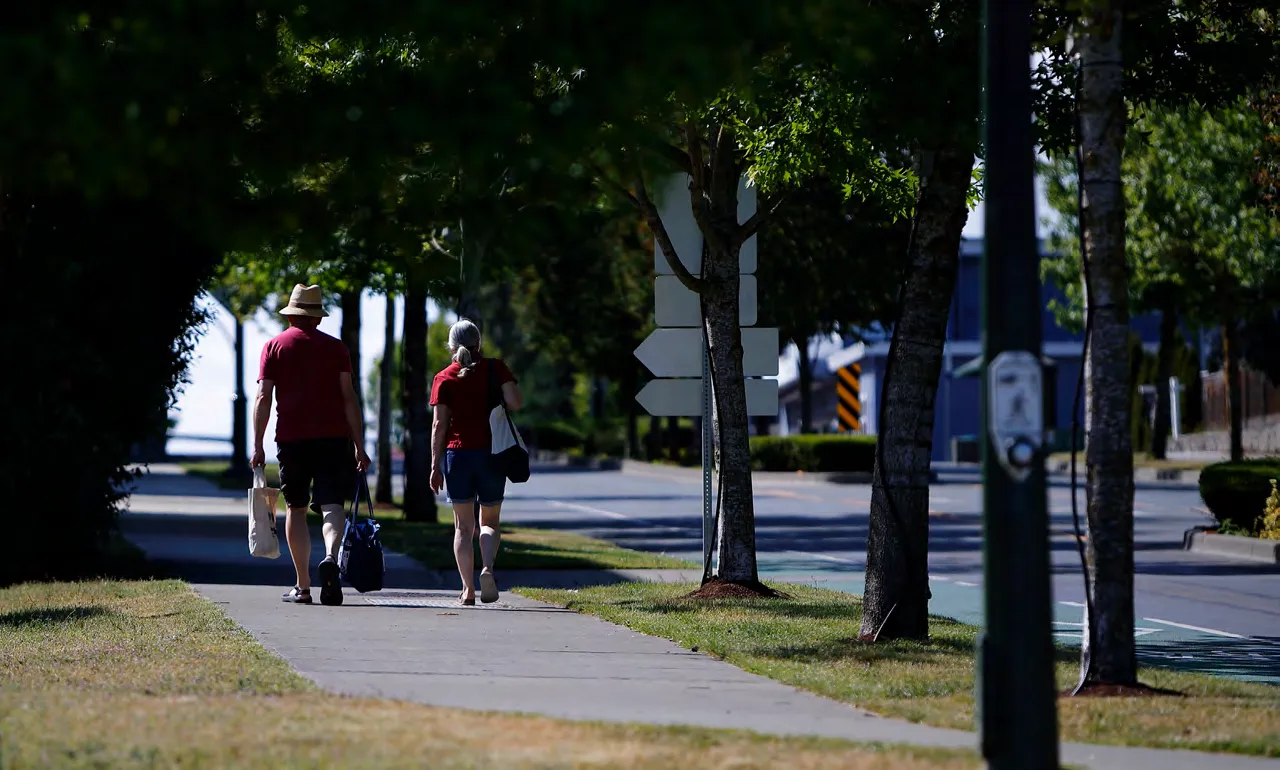
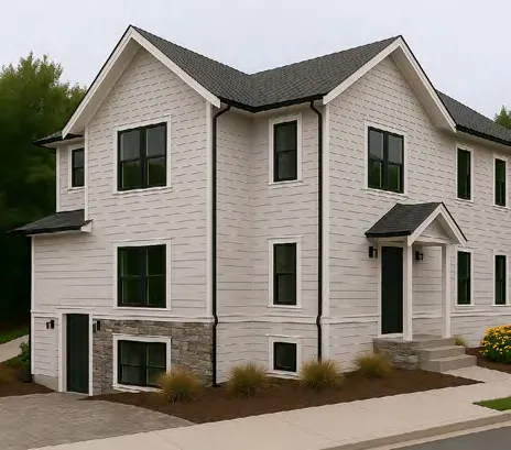
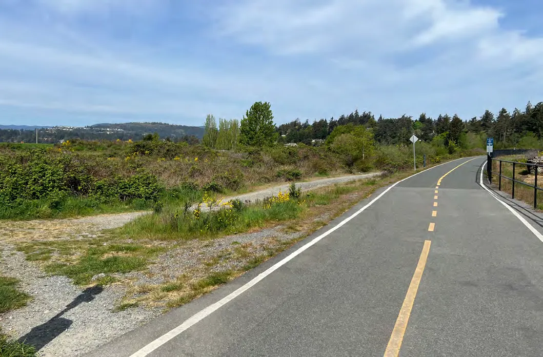
- Mobility & Connectivity: Provide a variety of transportation options within a well-connected network.
- Diverse and Affordable Housing: Provide diverse, attainable, and affordable housing types and tenures.
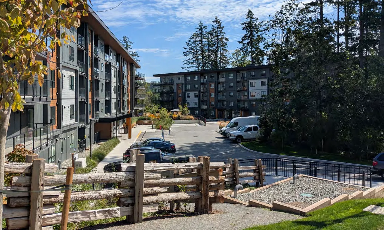
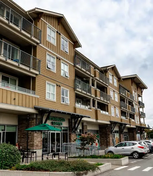
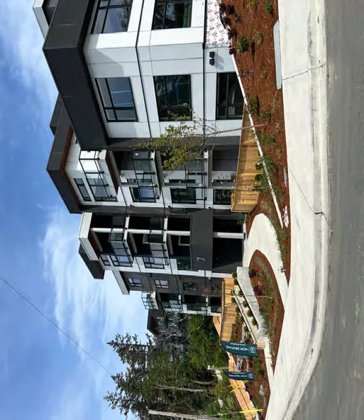
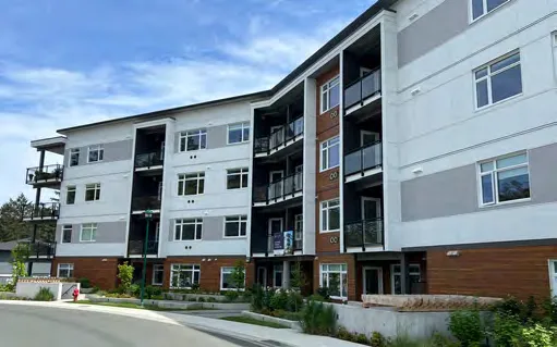
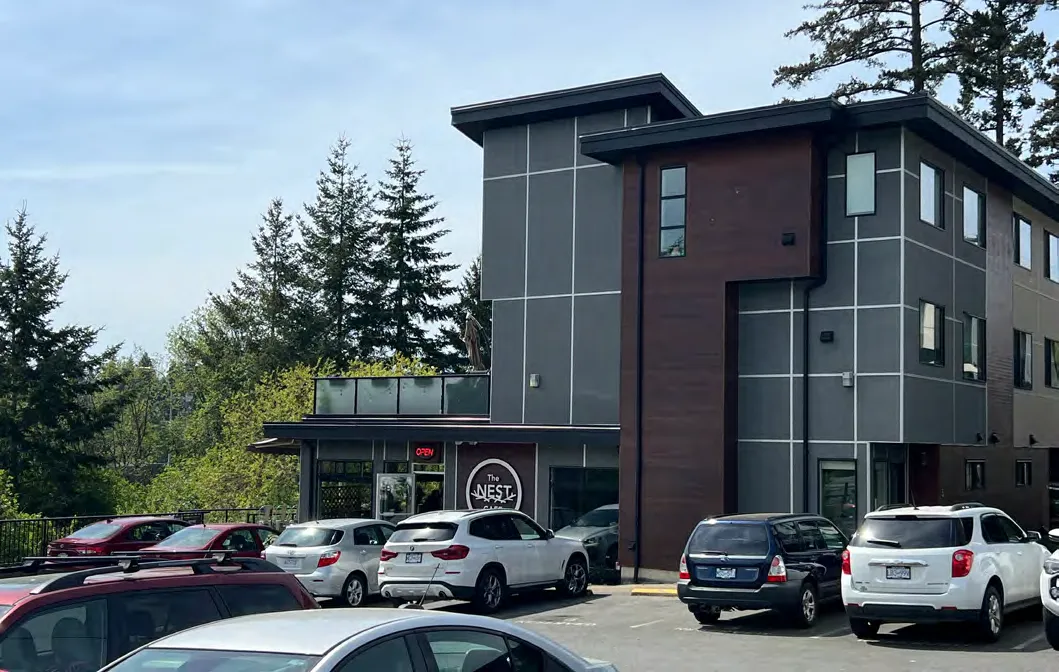
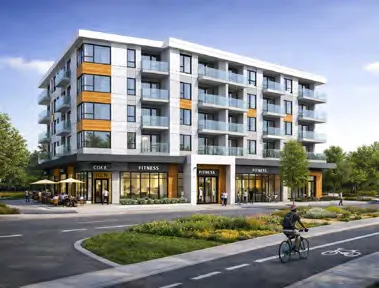
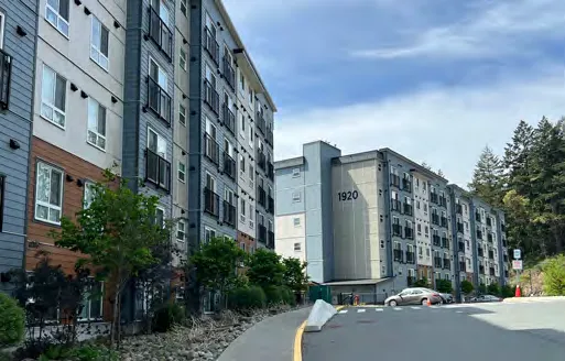
Modern multi-unit residential building with Starbucks on ground floor
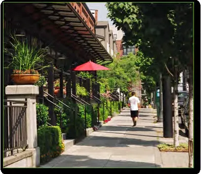
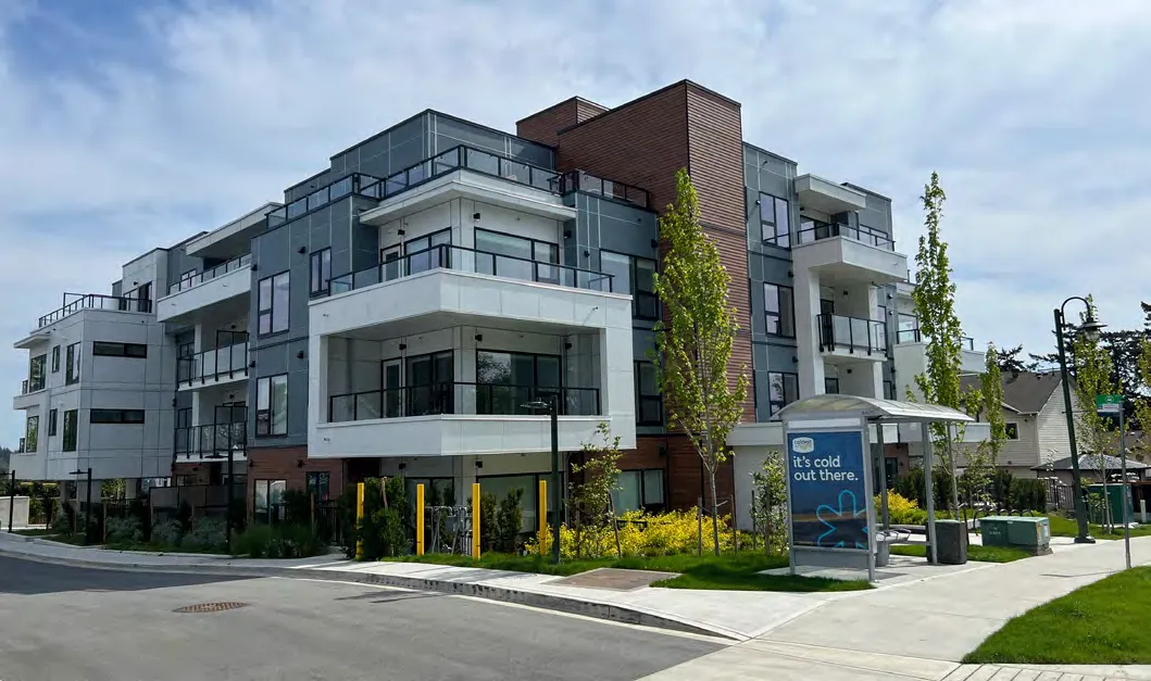
- Growth Management & Community Character Preservation: Allow for context-sensitive, fiscally responsible growth.
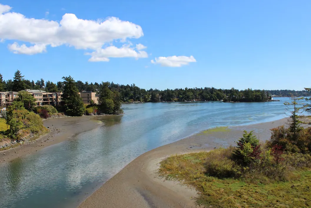
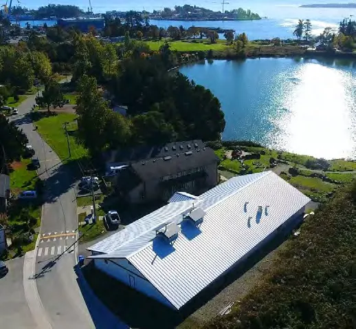
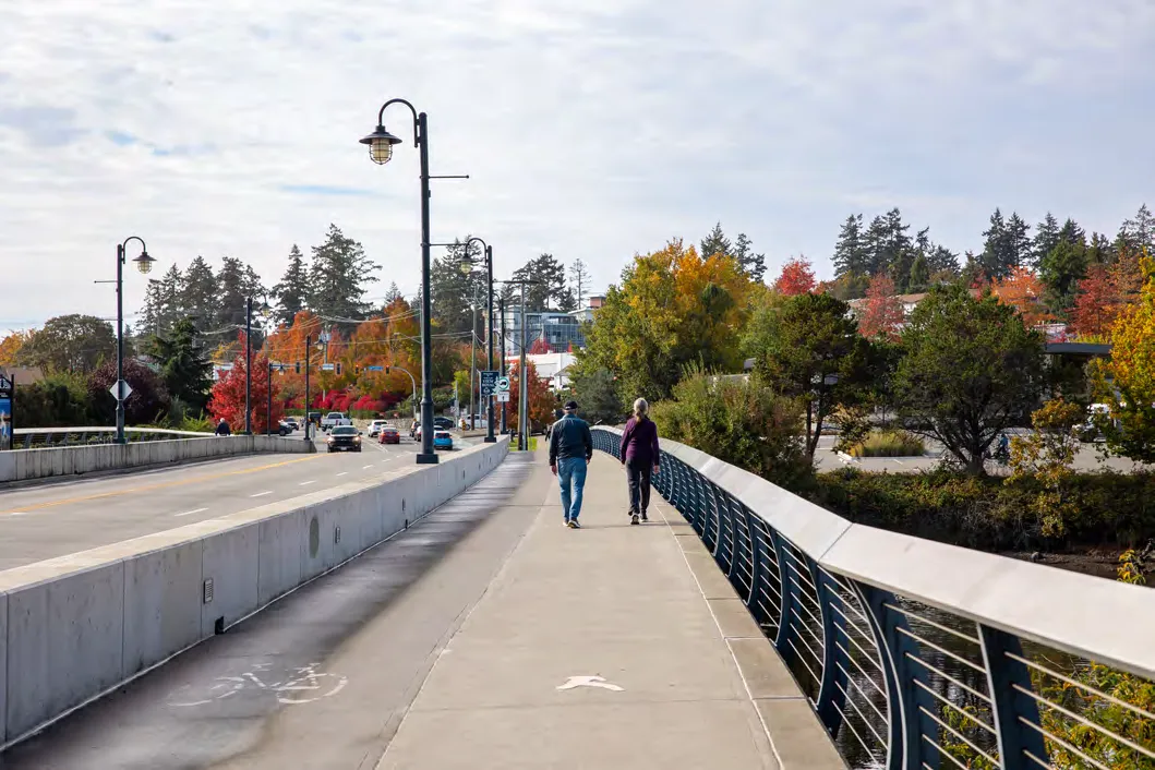
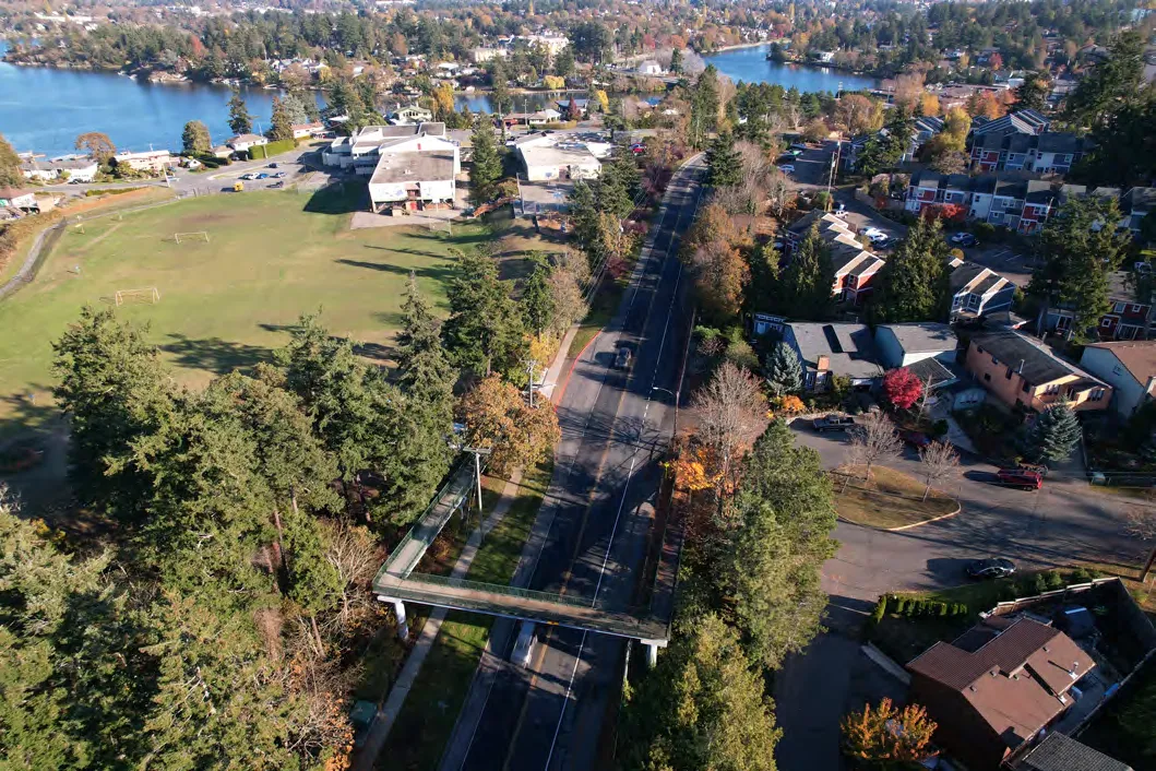
Aerial view of a bridge connecting community nodes near water
- Community Well-Being: Enhance well-being by providing safe, inclusive, accessible spaces.
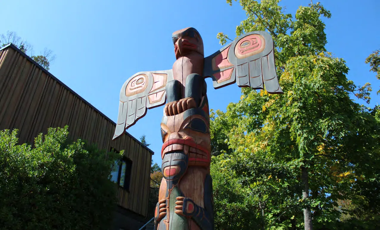
- Reconciliation: Strengthen government-to-government relationships with Xʷsepsəm and Songhees Nations.
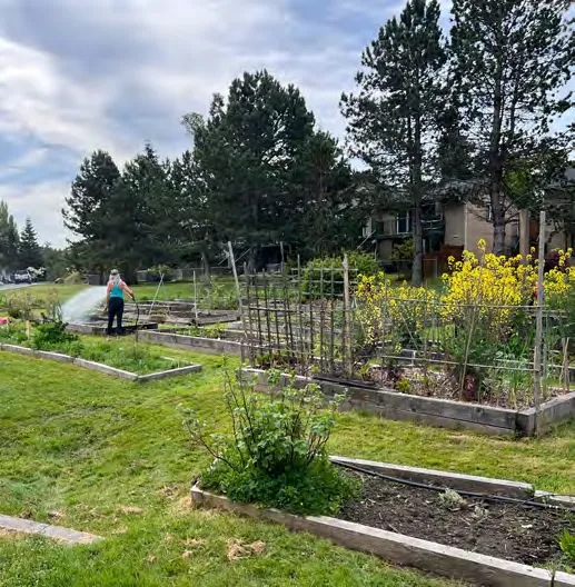
Resident gardening at a communal plot
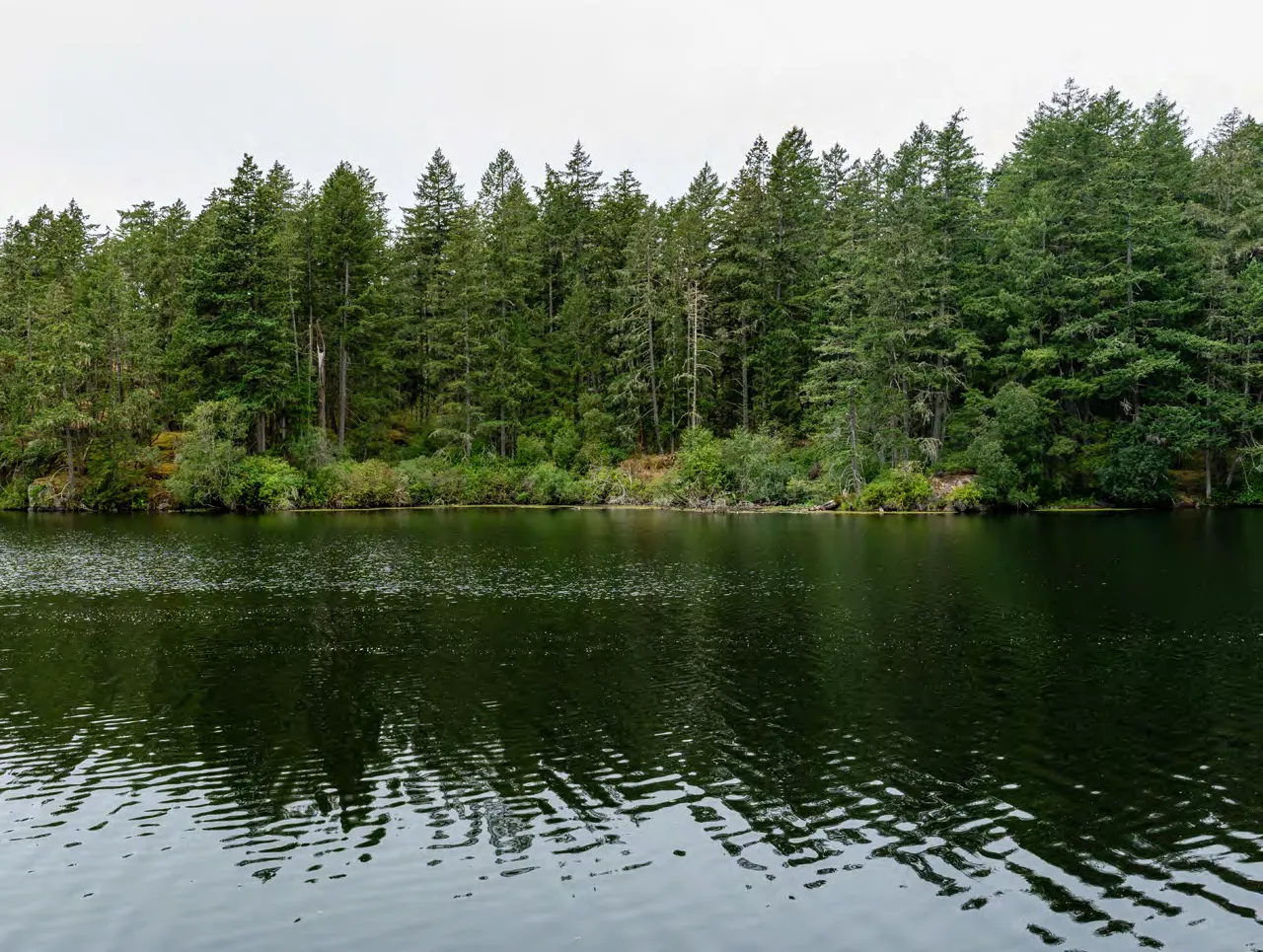
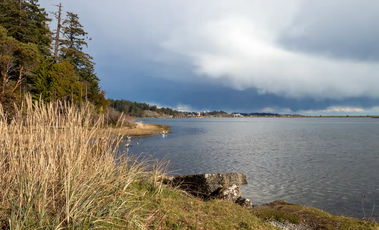
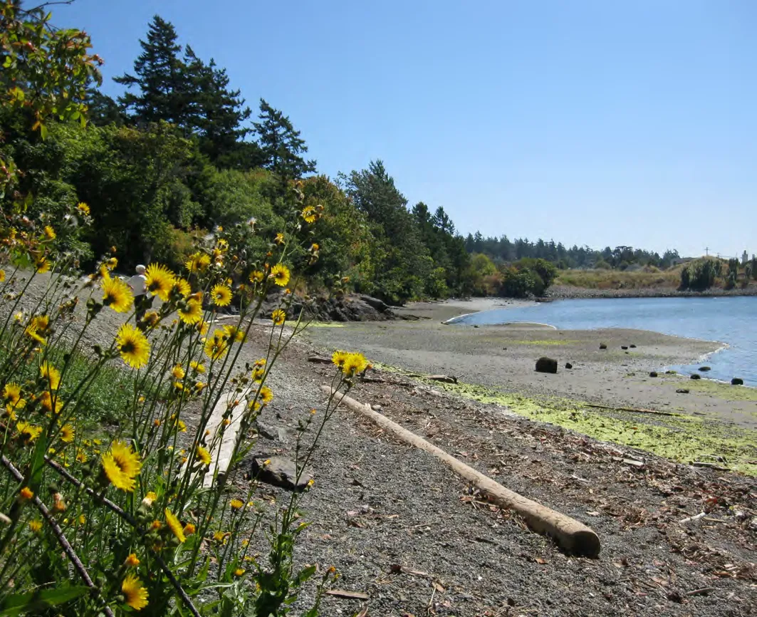
- Natural Amenities: Preserve, protect, and expand natural assets.
- Community Safety & Security: Foster a safe, secure community prepared for emergencies.
- Climate Action and Resilience: Undertake adaptation and mitigation initiatives.
- Economic Development: Identify and incentivize tourism and mixed-use development.
- Community Input and Governance: Ensure members are meaningfully informed and involved.
Close-up of hands marking a community map
- Regional Partnerships: Strengthen relationships with CRD partners.
- Sustainable Service Delivery Through Asset Management: Manage assets over their full lifecycle.
2.4 COMMITMENTS AND TARGETS
- Achieve 1 unit of below-market housing for every 15 units of market housing constructed.
- Achieve 1 unit of supportive housing for every 44 units of market housing constructed.
- Achieve a minimum replacement of 1:1 for all below-market and affordable rentals lost through redevelopment.
- Require new multi-unit residential developments of four or greater storeys to allocate a minimum of 30% units with two bedrooms or more and 10% units with three bedrooms or more.
- Achieve 10% accessible or adaptable units in developments of four or more storeys.
- Pursue mode share targets by 2050: 25% active transportation, 15% transit, 60% private vehicle.
- Achieve 30% canopy coverage by 2045.
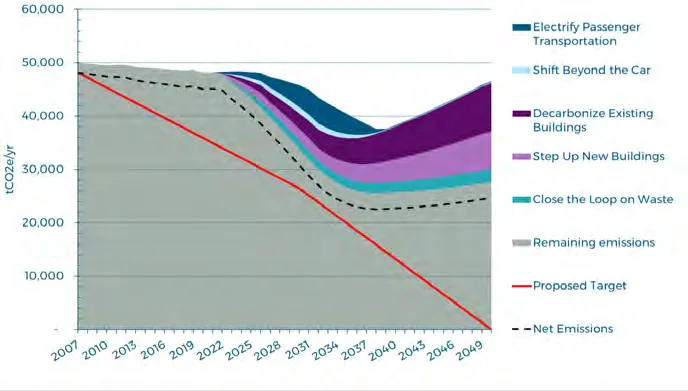
- Achieve 45% reduction in emissions by 2030 and 100% reduction by 2050 (from 2007 levels).
- Achieve minimum 5.0 hectares of parkland per 1,000 people.
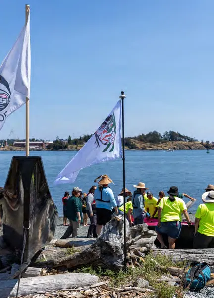
3.0 Reconciliation
View Royal is committed to integrating a reconciliation-centric approach.
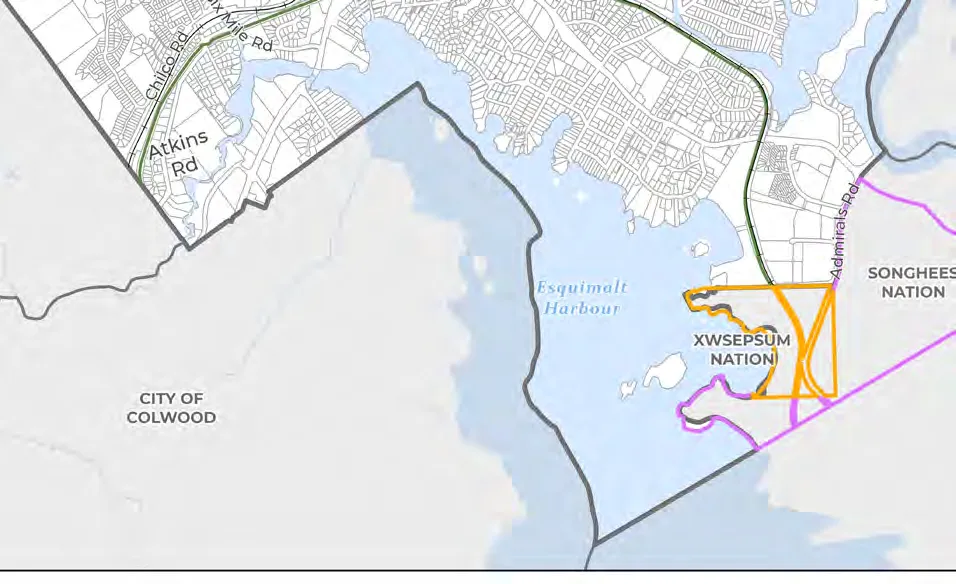
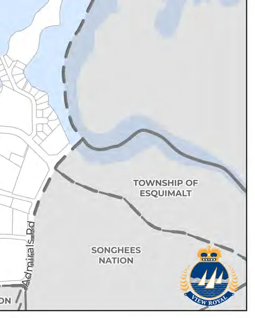
3.2 XʷSEPSƏM NATION TODAY
Also spelled Xwsepsum, situated on Esquimalt Harbour with approximately 385 members. Their mission is to building a legacy rooted in the teachings and natural laws of the Sacred Trust.
3.3 SONGHEES NATION TODAY
Approximately 690 members, with many living on the Songhees Reserve adjacent to View Royal. They are signatories of the Douglas Treaties of 1850.
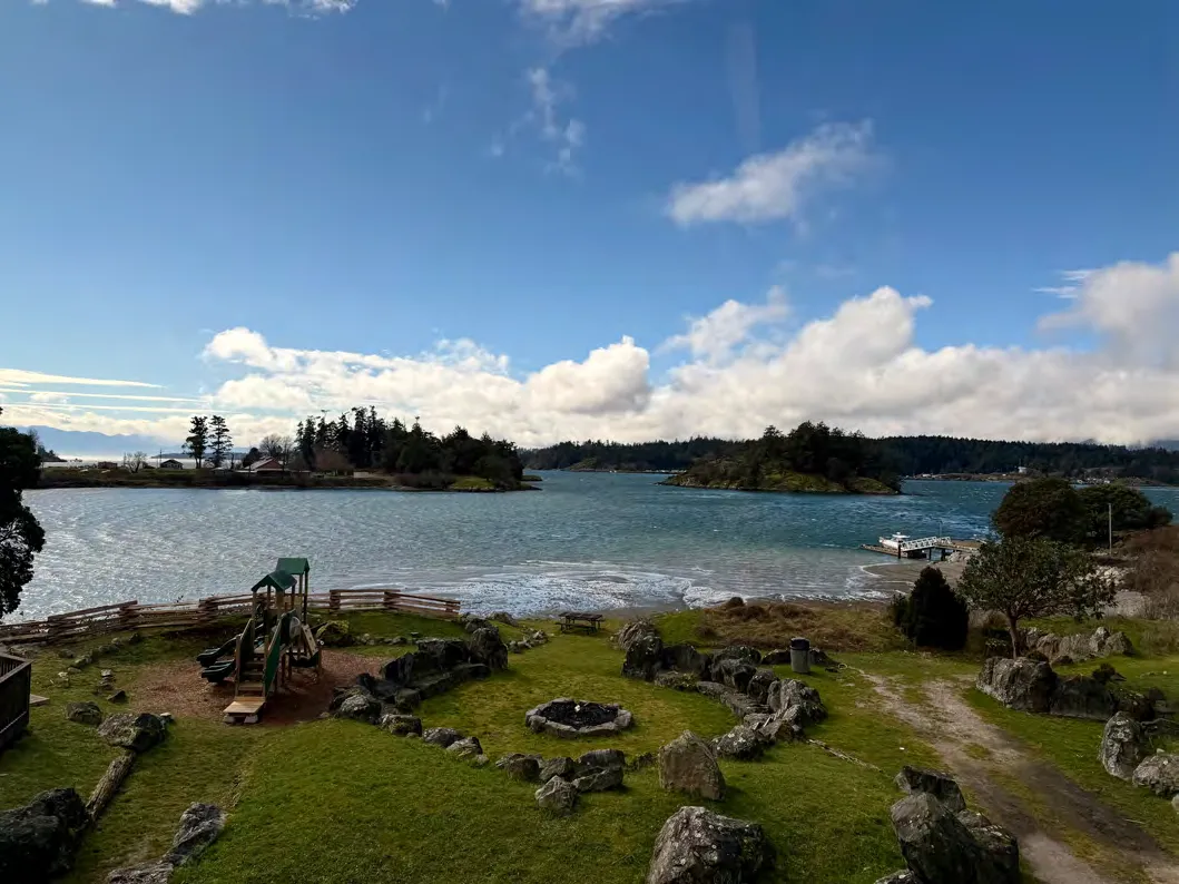
4.0 The History of View Royal
4.1 COLONIAL SETTLEMENT
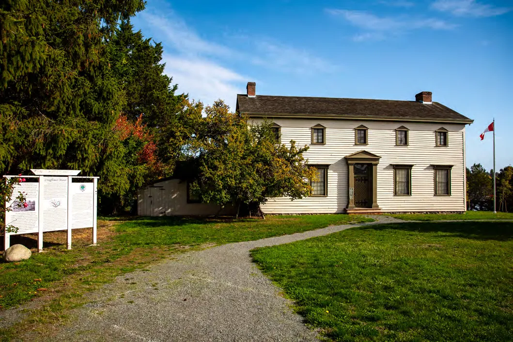
Documented history began in the 1850s with the Puget Sound Agricultural Company. Craigflower Manor was completed in 1856. The name View Royal was coined circa 1910 by a real estate developer.
4.2 PHYSICAL SETTING
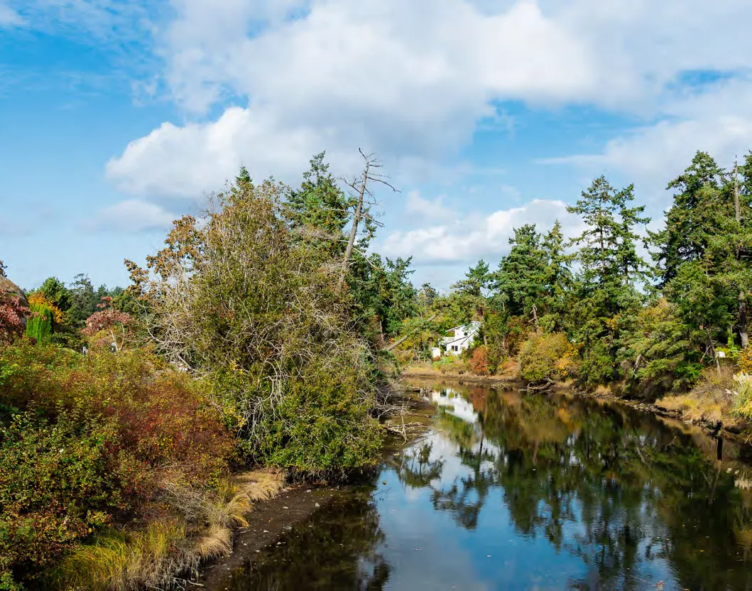
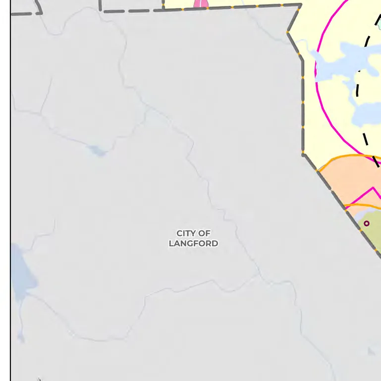
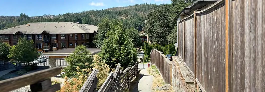
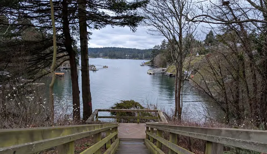
View Royal is situated between the West Shore (Colwood, Langford) and the core area (Victoria, Saanich, Esquimalt). It functions as a regional gateway.
4.3 COMMUNITY TRAITS
- Current population (2025): 12,539
- Projected population (2050): 21,574
- Growth scenario: Medium Growth of 2.2% annually.
Part Two: Land Use
5.0 Land Use
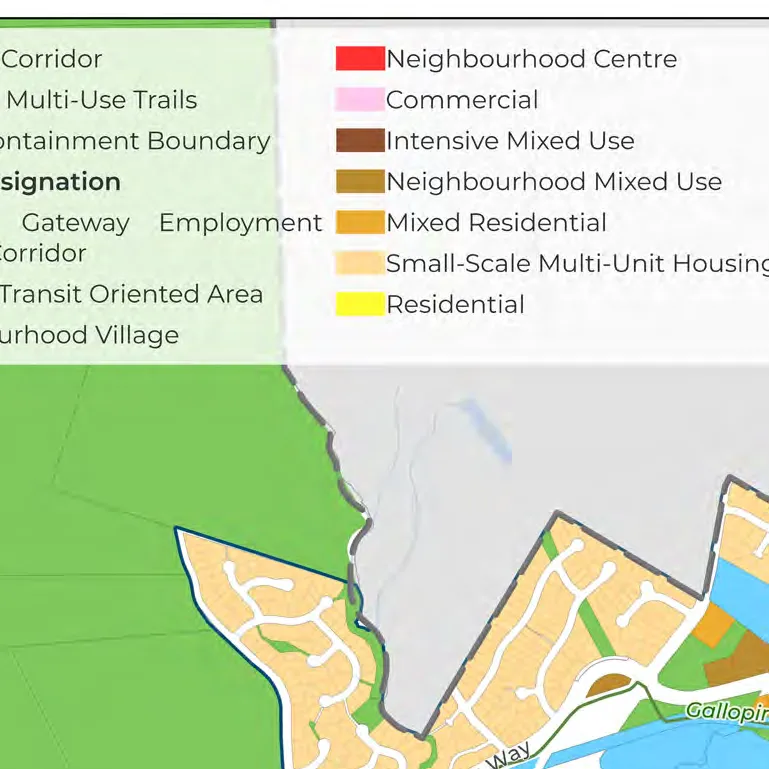
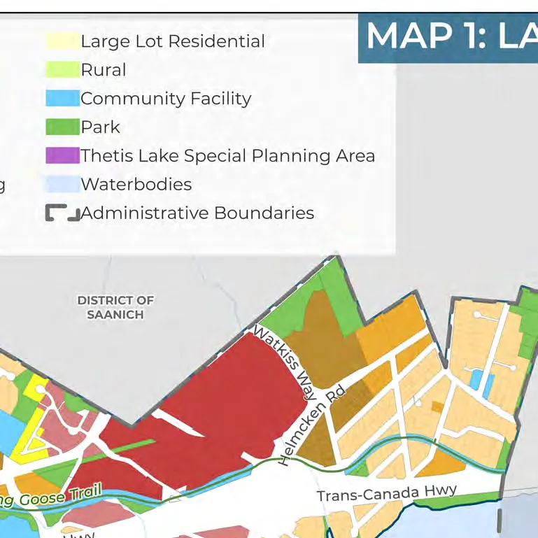
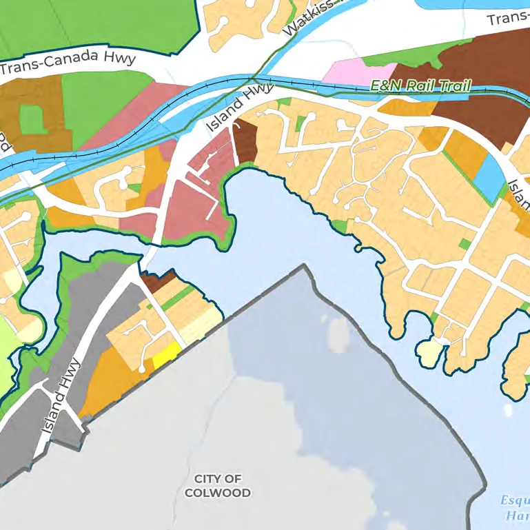
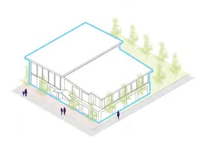
5.1 GENERAL FRAMEWORK AND CONSIDERATIONS
5.1.7 LAND USE DESIGNATIONS SUMMARY
| Designation | Description | Max Height/Density |
|---|---|---|
| Western Gateway Employment District Corridor | Commercial, light industrial, arts/culture, tourist accommodation. | Up to 6 storeys; Up to 2.5 FSR |
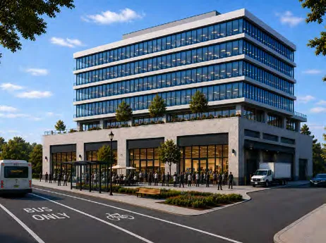
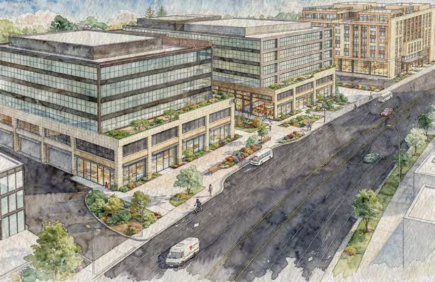
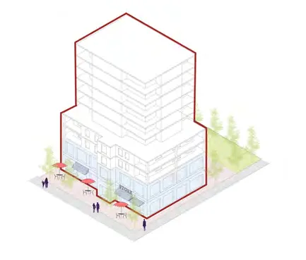
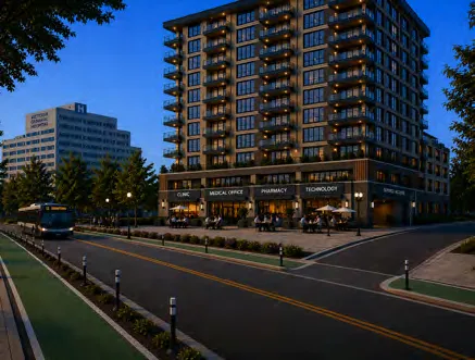
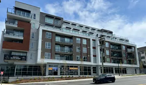
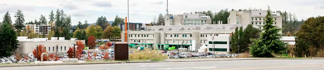
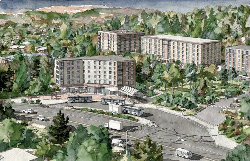
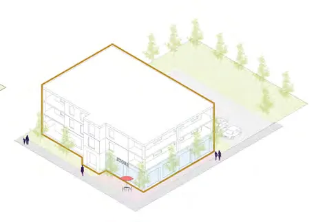
| Hospital Transit-Oriented Area | High-density mixed-use (residential, medical, commercial) near the hospital. | Up to 10 storeys; Up to 3.5 FSR |
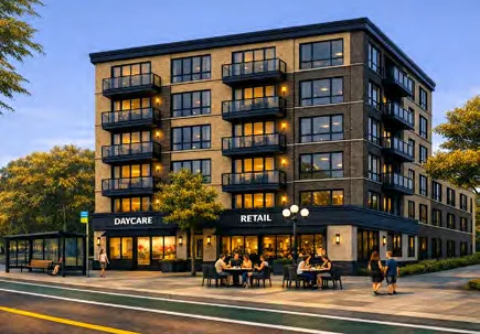
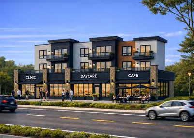
| Neighbourhood Village | Mixed-use buildings, community care, schools, local commercial. | Up to 6 storeys; Up to 2.5 FSR |
| Neighbourhood Centre | Small-scale mixed-use serving local needs. | Up to 6 storeys; Up to 3.0 FSR |
| Commercial | Retail, office, technology, and restaurants. | Up to 4 storeys; Up to 2.5 FSR |
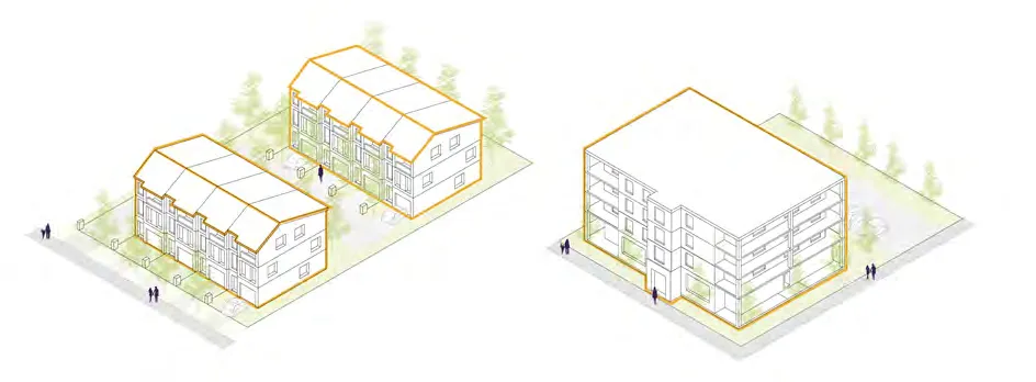
| Intensive Mixed Use | Low-rise townhouses and apartments with ground floor commercial. | Up to 4 storeys; Up to 2.5 FSR |
| Neighbourhood Mixed Use | Low-rise residential and commercial. | Up to 3 storeys; Up to 1.5 FSR |
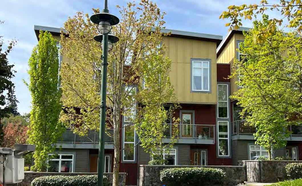
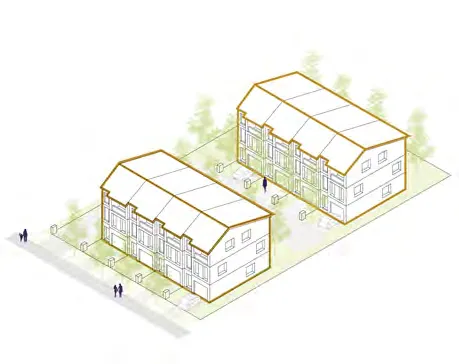
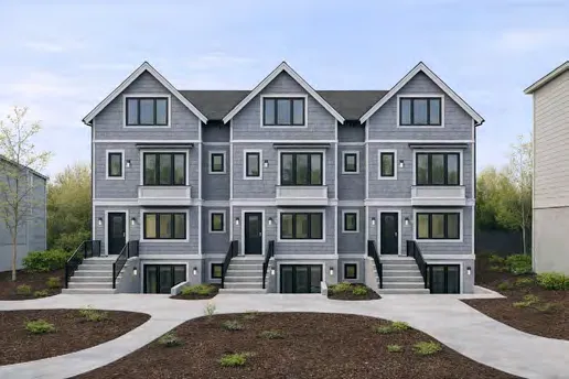
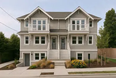
| Mixed Residential | Single detached, duplexes, rowhouses, townhouses, and apartments. | Up to 3 storeys/1.25 FSR (4 storeys/1.6 FSR for apartments) |
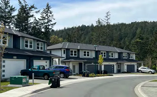
| Small-Scale Multi-Unit Housing | Detached/attached dwellings, townhouses up to 3 storeys. | Up to 3 storeys; Max 6 units |
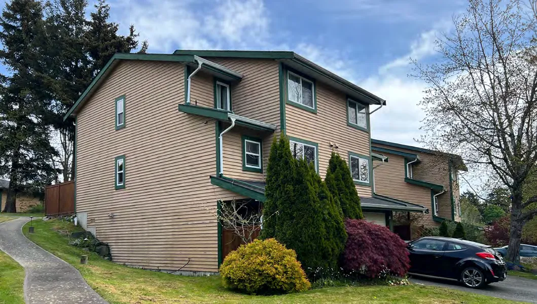
| Residential | Single detached, duplexes, townhouses, secondary suites. | Up to 2.5 storeys; Up to 0.6 FSR |
| Large Lot Residential | Detached homes on large lots. | Up to 2.5 storeys |
| Rural | Agriculture, recreation, and large lot residential. | Up to 2 storeys; 1 unit per 10 hectares |
| Community Facility | Government buildings, hospitals, schools, libraries. | Varies |
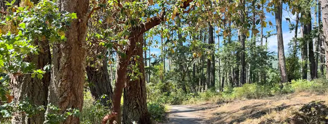
| Parks, Trails and Open Space | Active and passive parks, green spaces. | N/A |
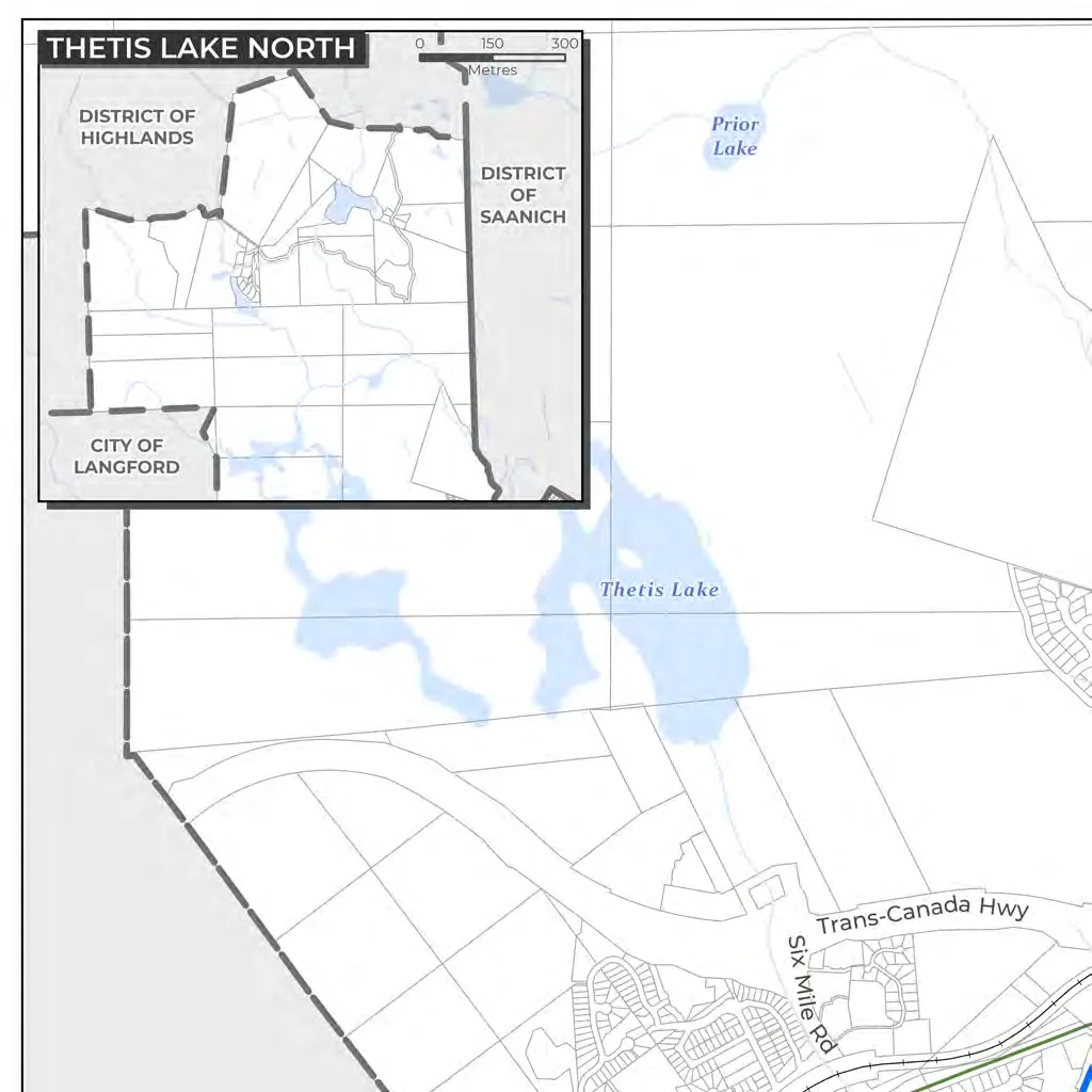
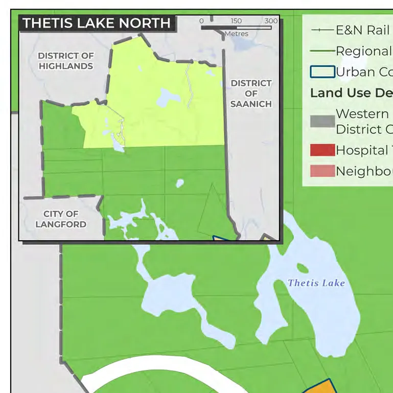
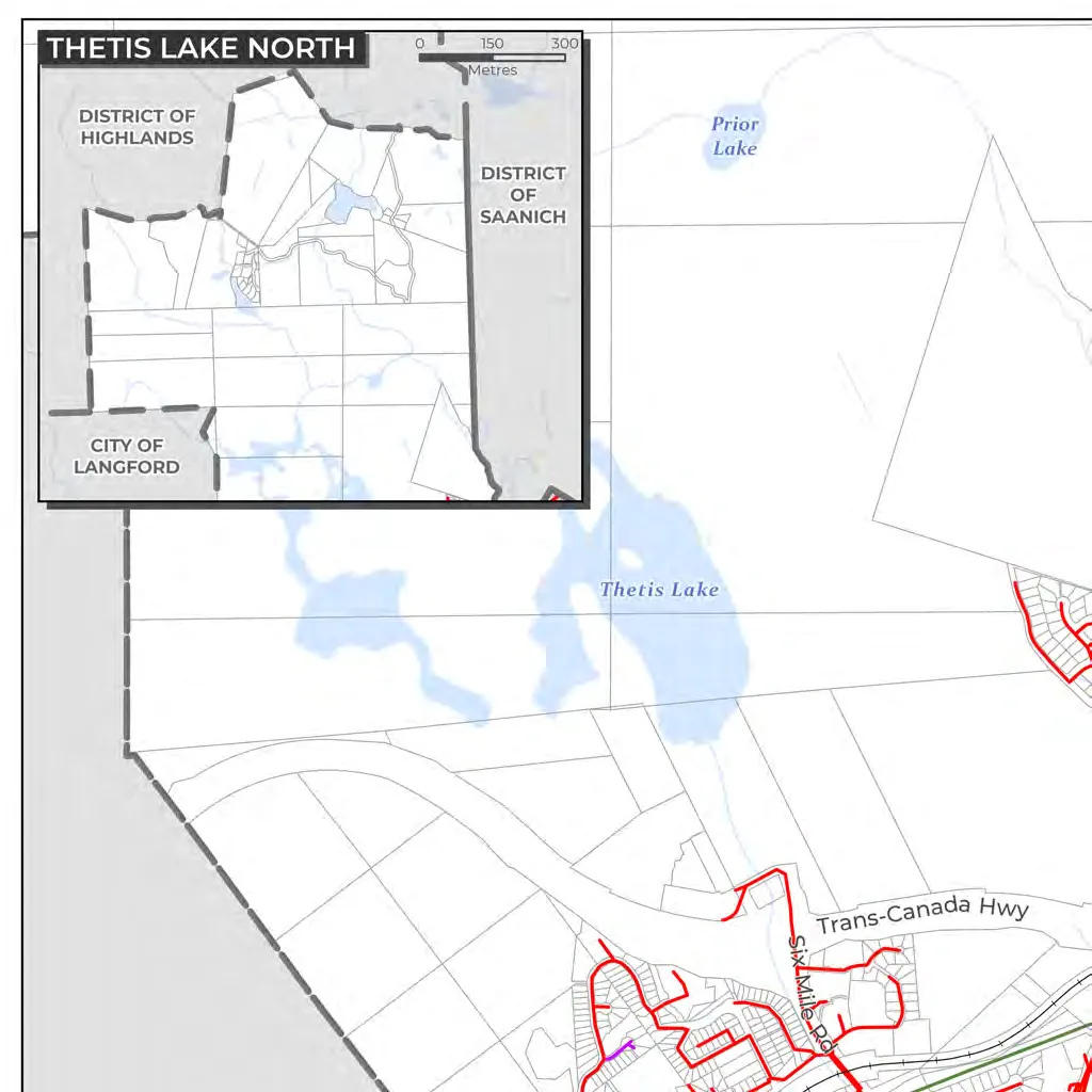
| Thetis Cove Special Planning Area | Expectation of land transfer to Xʷsepsəm Nation. | N/A |
6.0 Reconciliation
Policies Verbatim:
- 6.3.1 General: Identify a joint vision for reconciliation in partnership with Xʷsepsəm and Songhees Nations.
- 6.3.2 Cultural Awareness: Align municipal policies with UNDRIP and DRIPA.
- 6.3.3 Land Use Decisions: Proactively engage and collaborate meaningfully with Nations on initiatives by which they may be affected.
- 6.3.6 Celebrating Identity: Expand Indigenous cultural representation in public space.
7.0 Housing
The 2024 Housing Needs Report projects a need for 2,889 dwelling units by 2041 and 4,189 units by 2050.
Policies Verbatim:
- 7.3.3 Affordable Housing: Support attainment of affordable housing by achieving a minimum of 1 unit of below-market housing for every 15 market units, and 1 supportive unit for every 44 market units.
- 7.3.4 Family Housing: Require developments of four or more storeys to allocate min 30% units with 2+ bedrooms and 10% units with 3+ bedrooms.
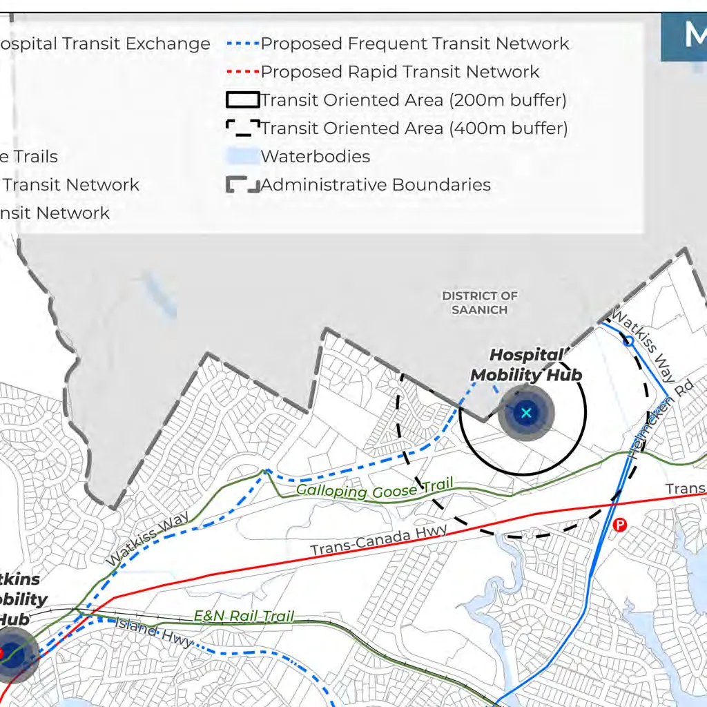
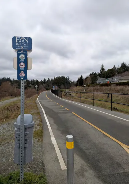
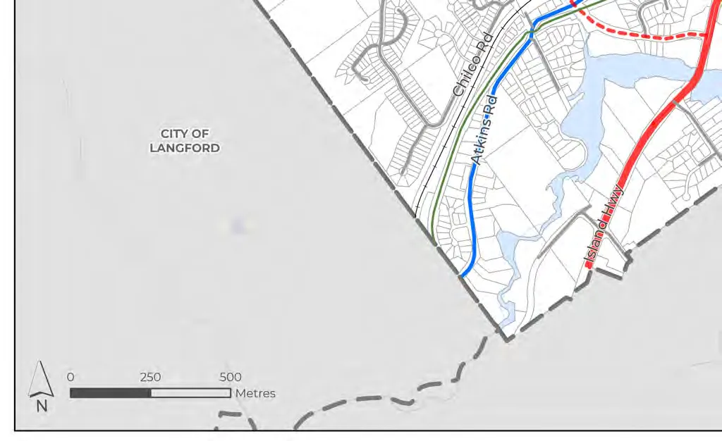
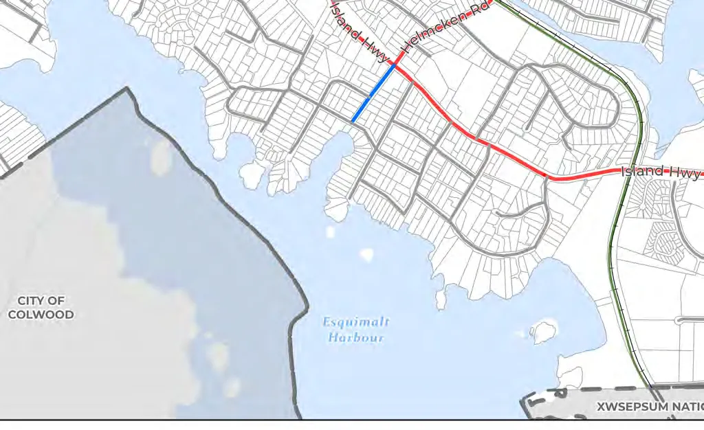
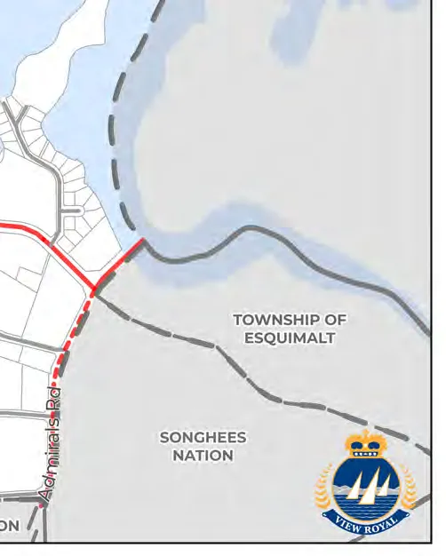
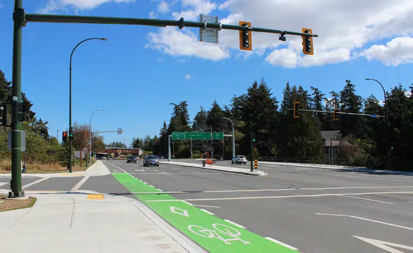
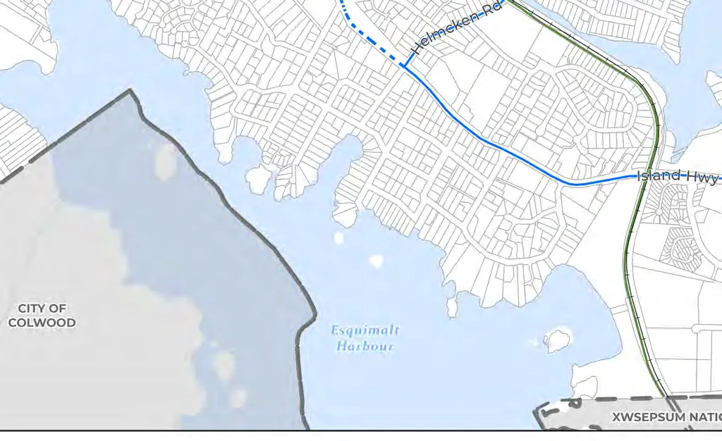
8.0 Transportation and Mobility
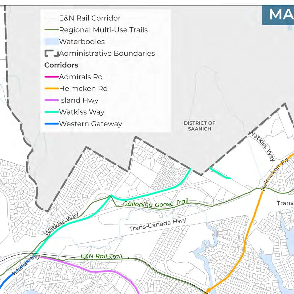
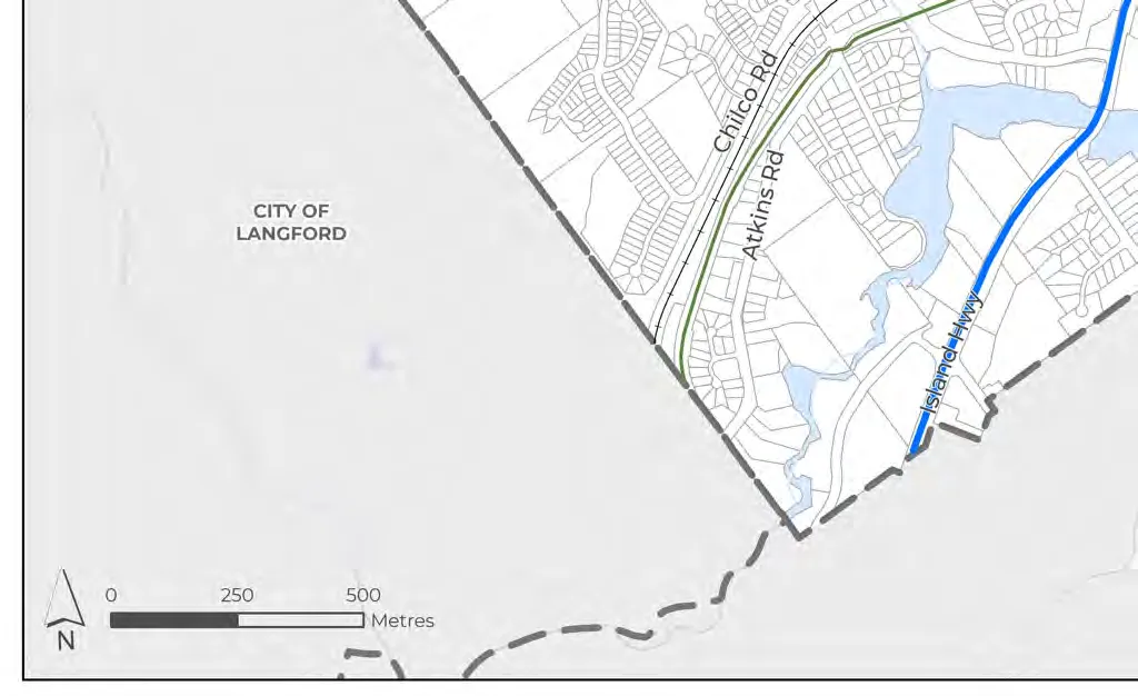
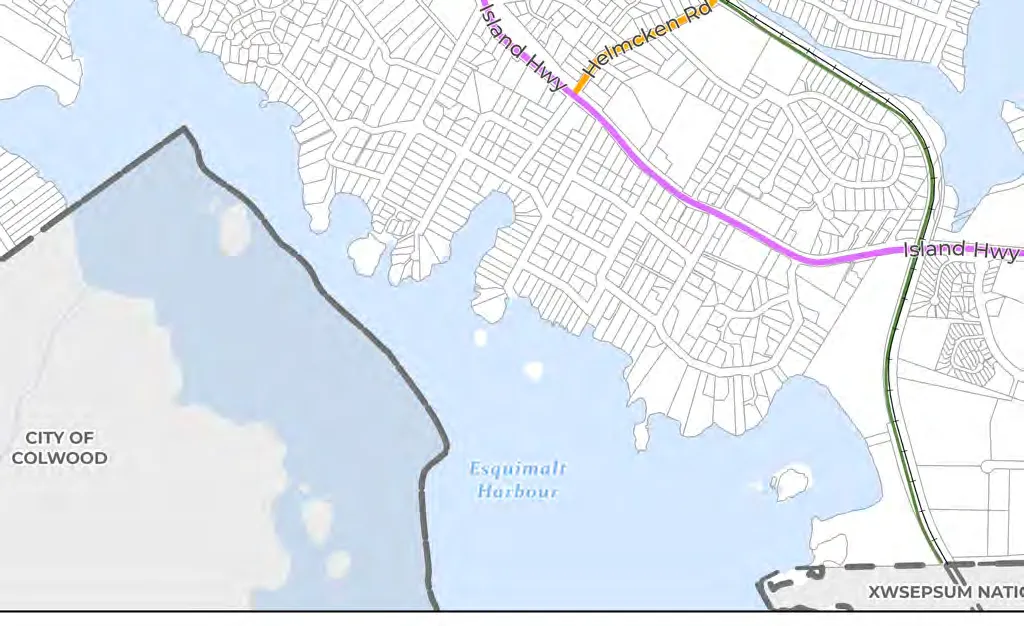
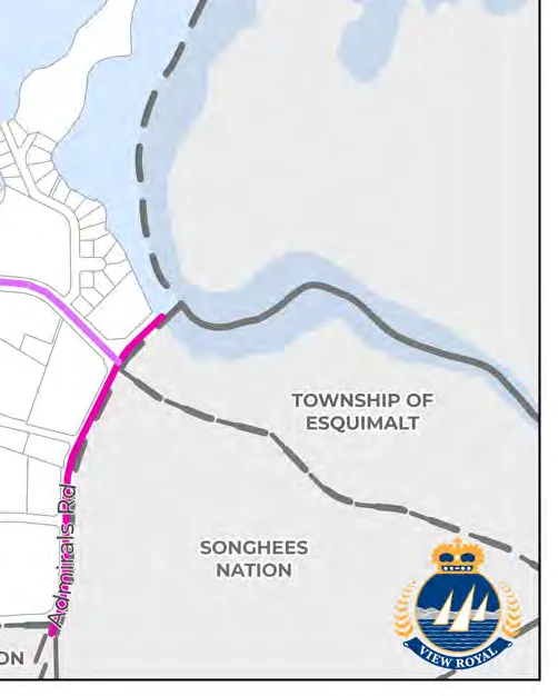
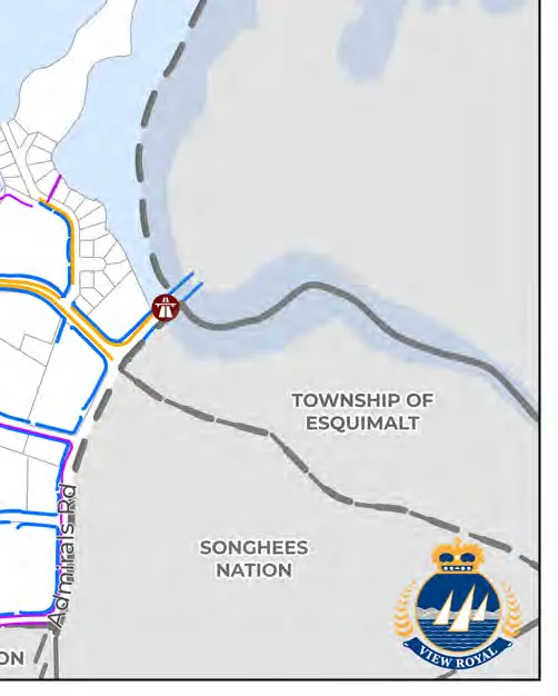
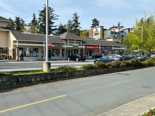
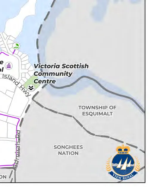
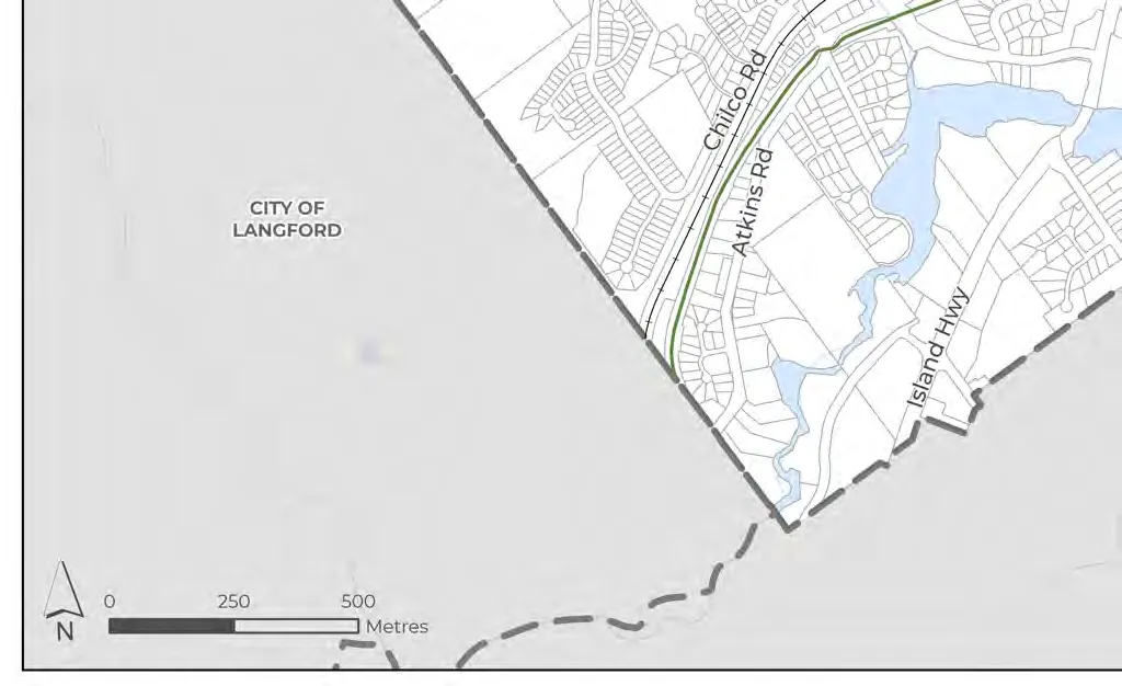
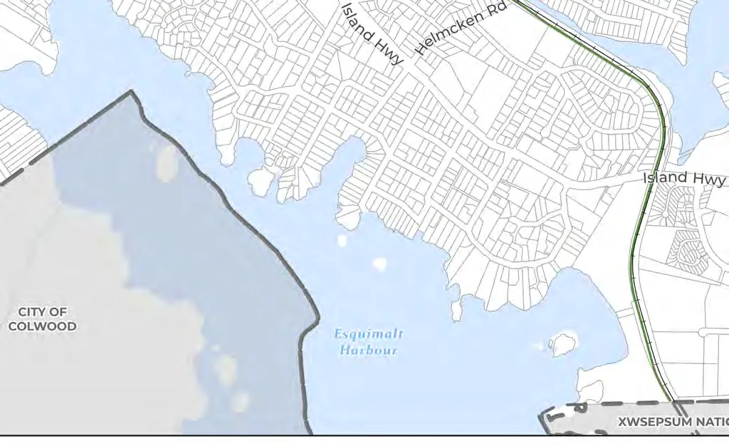
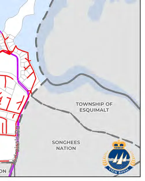
View Royal has five key corridors: Island Highway, Admirals Road, Helmcken Road, Watkiss Way, and Western Gateway Corridor.
Modal Hierarchy:
- Foundation Access (Pedestrians/Mobility Aids)
- High-Capacity, Low-Impact Mobility (Transit)
- Active and Low-Speed Mobility (Cycling/Micro-mobility)
- Efficient Shared Use (Shared vehicles)
- Economic Backbone (Commercial vehicles)
- Low Priority (Private vehicles)
9.0 Community Infrastructure and Services
10.0 Economic Development
Policies Verbatim:
- 10.3.1 J: Concentrate growth and economic investment along Town corridors.
- 10.3.1 L: Explore opportunities to attract hotel development.
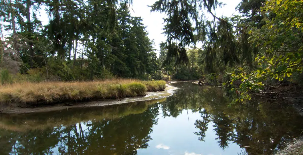
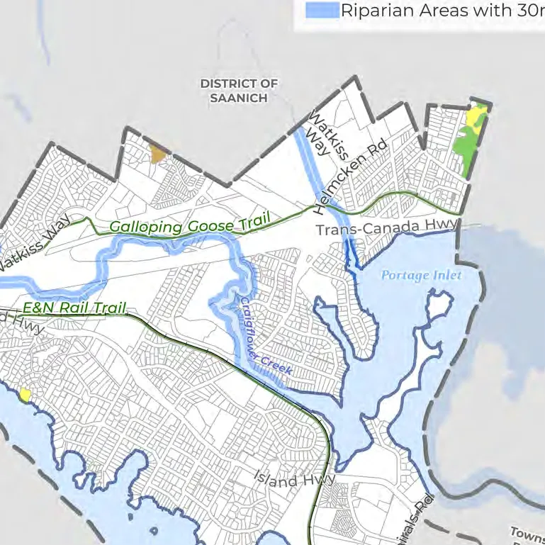
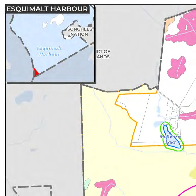
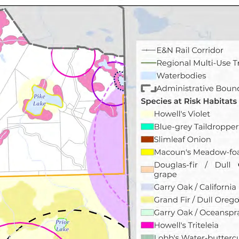
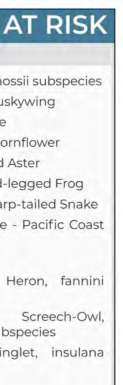
11.0 Natural Environment and Hazards
12.0 Climate Action and Sustainability
View Royal declared a climate emergency on March 5, 2019.
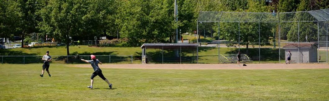
13.0 Parks, Trails, and Recreation
Policies Verbatim:
- 13.3.1 D: Aim to achieve 5.0 hectares of parkland per 1,000 people.
14.0 Community Well-Being and Culture
Part Five: Implementation
15.0 Action Plan
Timeframes:
- Ongoing
- Short-term (2026-2028)
- Medium-term (2029-2032)
- Long-term (2033 and beyond)
15.2 ONGOING ACTIONS (Selected)
| Action | Relevant Policy | Dept |
|---|---|---|
| Provide Cultural Awareness & UNDRIP Training | 6.3.2 (b) | Corporate Admin |
| Pursue regional partnerships on supportive housing | 7.3.6 (a-d) | Dev Services |
| Implement traffic calming measures | 8.3.5 (c) | Engineering |
| Facilitate community clean up events in parks | 13.3.3 (b) | Protective Services/Engineering |
15.3 SHORT-TERM ACTIONS (Selected)
| Action | Relevant Policy | Dept |
|---|---|---|
| Undertake density bonus analysis for Hospital TOA | 5.1.3 (i) | Dev Services |
| Develop an Amenity Cost Charge Bylaw | 5.1.6 (b) | Engineering/Finance |
| Create Infill Design Guidelines | 5.1.6 (j) | Dev Services |
| Complete the update to Transportation Master Plan | 8.3.1 (a) | Engineering |
| Update Sanitary and Drainage Master Plans | 9.3.2 (c) | Engineering |
16.2 REGIONAL CONTEXT STATEMENT ALIGNMENT
Alignment with the CRD Regional Growth Strategy includes:
- 1.1 - Keep urban settlement compact.
- 1.2 - Protect the integrity of rural communities.
- 3.2 - Improve housing affordability.
- 4.1 - Improve multi-modal connectivity.
Part Six: Development Permit Areas
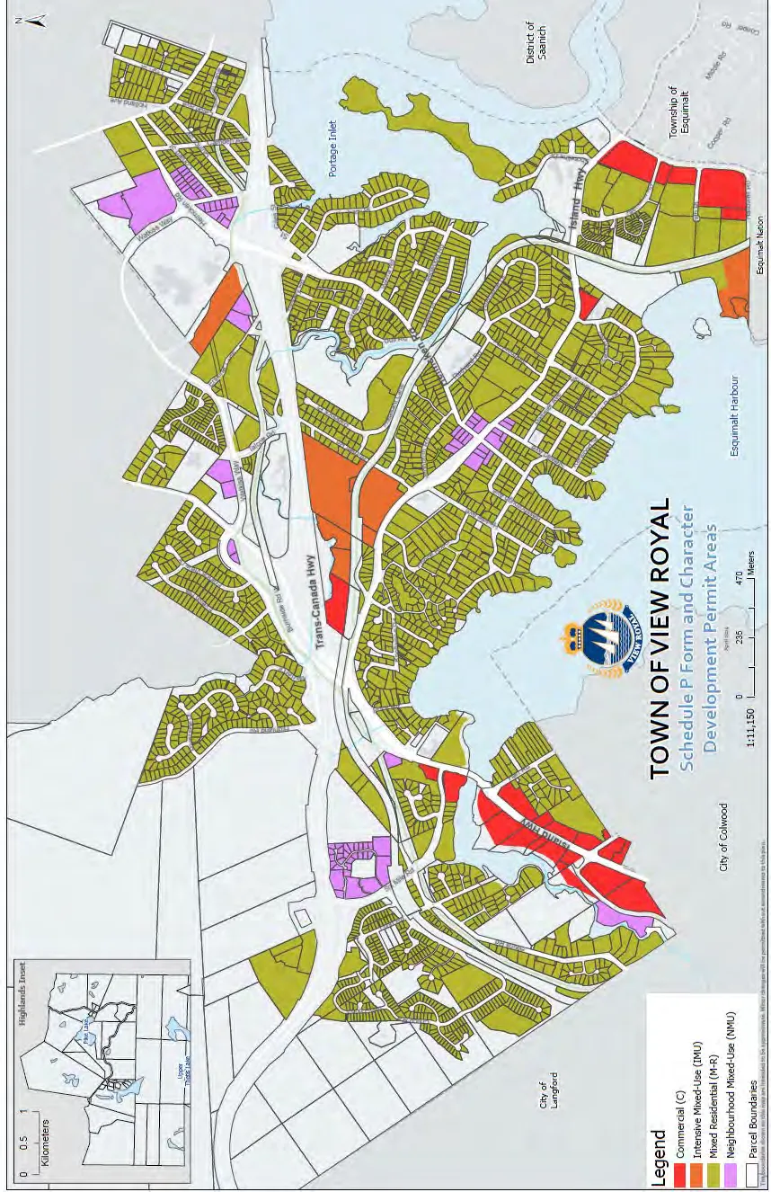
Designated areas:
- Mixed Residential
- Neighbourhood Mixed Use
- Intensive Mixed Use
- Commercial
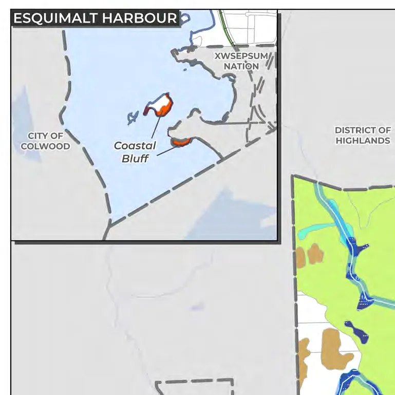
- Natural Watercourse and Shoreline Areas
- Sensitive Terrestrial Ecosystem Areas
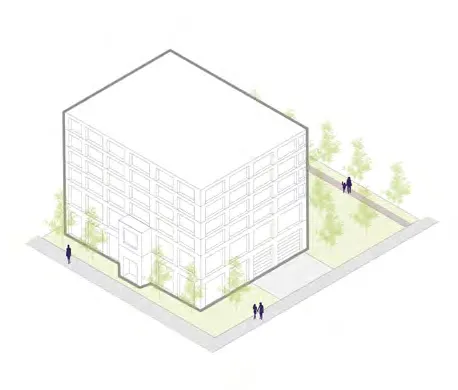
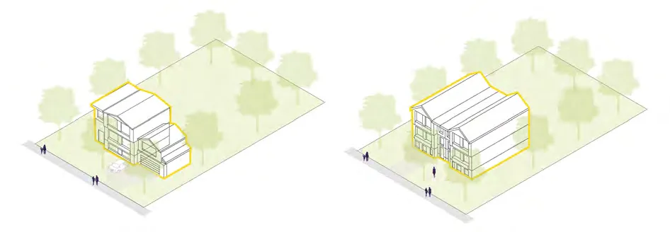
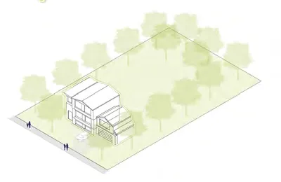
DPA: INTENSIVE RESIDENTIAL - GARDEN SUITE
Design Guidelines (Selected):
- i. Minimize opportunities for overlook and shading of adjacent properties.
- iv. Access via minimum 1.0m wide identifiable path.
- vi. Direct access to private outdoor space (min 15 m²).
Appendix A: Community Profile
- Current Population (2025): 12,539
- Median Age: 44.8 years
- Average Household Size: 2.3 persons
- Median Household Gross Income (2020): $98,000.00
- Unemployment Rate: 3.6% (compared to 4.4% regionally)
| Table A8. Population Projections (Medium 2.2%) | Population |
|---|---|
| 2025 | 12,539 |
| 2030 | 13,976 |
| 2040 | 17,364 |
| 2050 | 21,574 |
END OF DOCUMENT
Document Images
(142)