Appendix
ATTACHMENT 8: Site Pictures and Imagery
September 6, 2022Pages 32–361 section
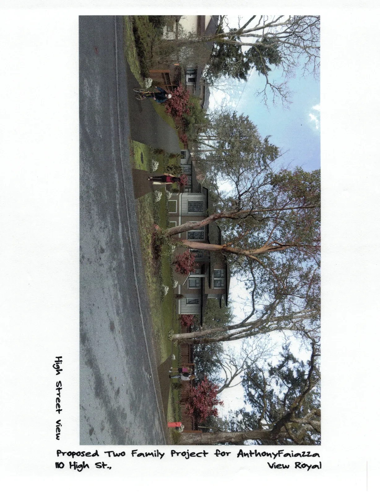
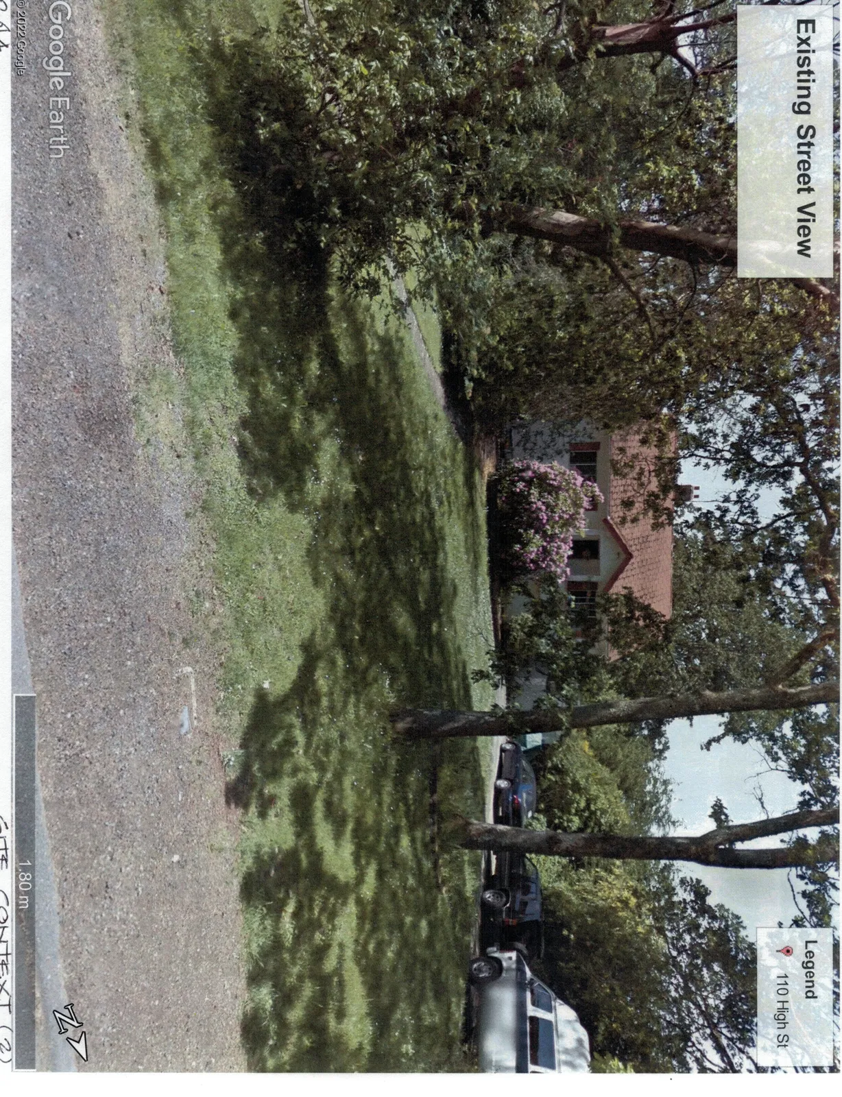
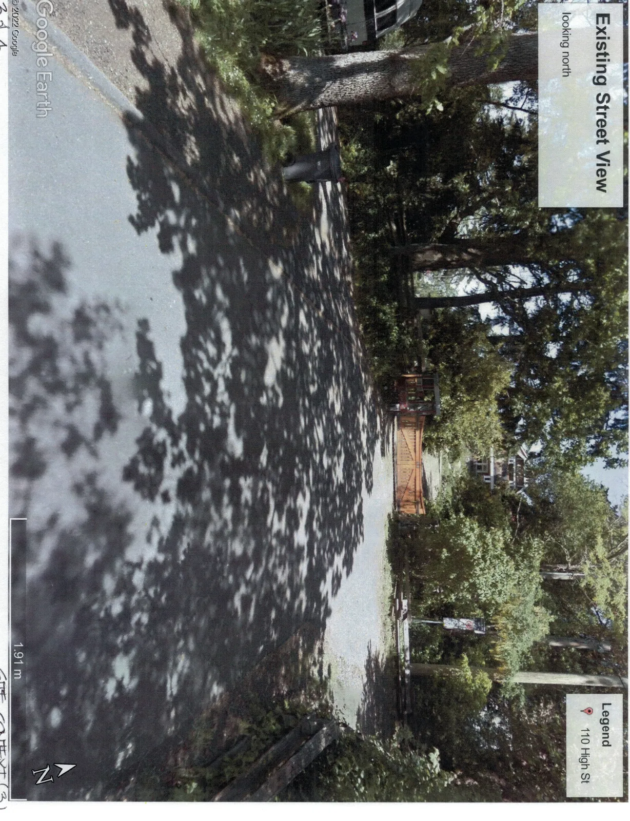
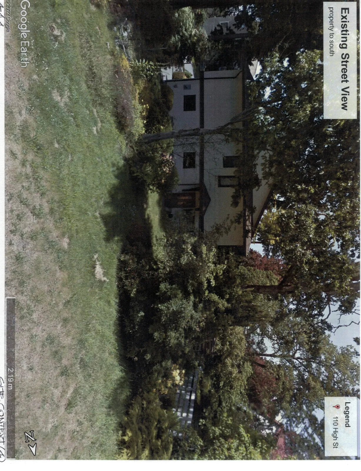
Photographs of the existing site and surrounding streetscape, including a parcel information map.
110 High Street
ATTACHMENT 8
Existing Street View
Existing Street View - looking north
Existing Street View - property to south
Site Utilities Map
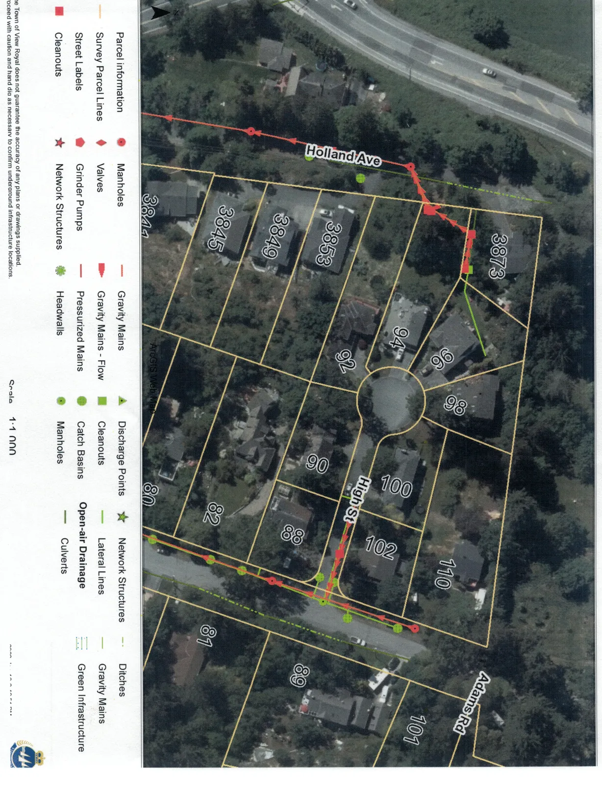
Legend
- Parcel information
- Survey Parcel Lines
- Street Labels
- Cleanouts
- Manholes
- Valves
- Grinder Pumps
- Network Structures
- Gravity Mains
- Gravity Mains - Flow
- Pressurized Mains
- Headwalls
- Discharge Points
- Cleanouts
- Catch Basins
- Manholes
- Network Structures
- Lateral Lines
- Open-air Drainage
- Culverts
- Ditches
- Gravity Mains
- Green Infrastructure
Scale: 1:1,000
Page 32–36
Extracted from: 2022 09 06 Public Hearing Agenda - Agenda - Pdf