Appendix
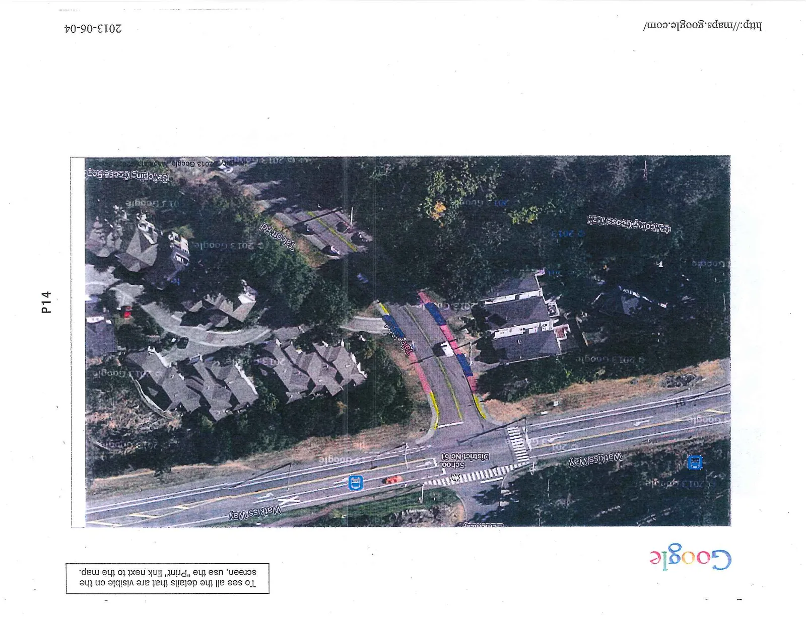
Google Maps - Talcott Road
October 1, 2013Pages 16–171 section
Aerial maps illustrating the specific parking areas requested for residential designation on Talcott Road.
June 4, 2013
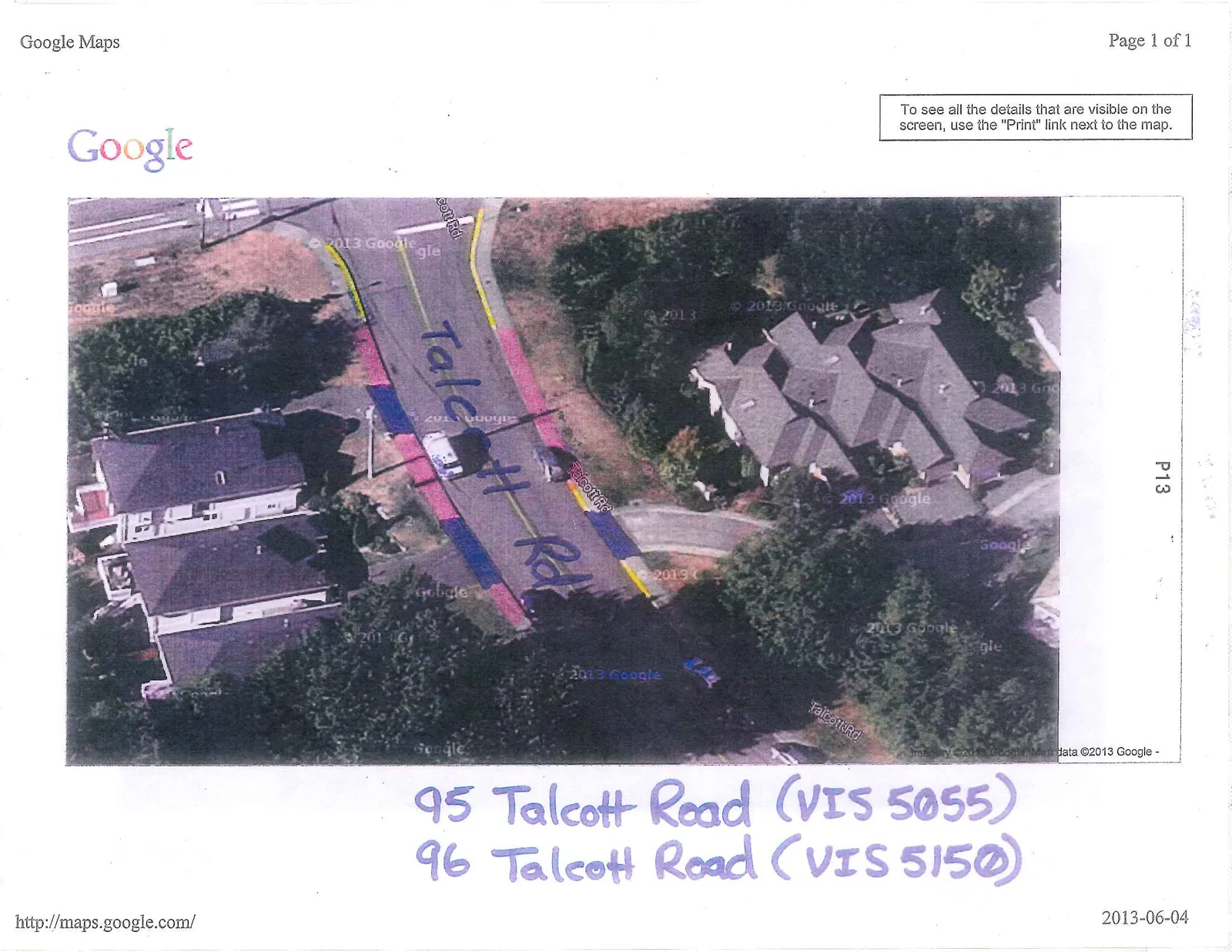
95 Talcott Road (VIS 5055) 96 Talcott Road (VIS 5150)
Page 16–17
Extracted from: 2013 10 01 Council Agenda