Appendix
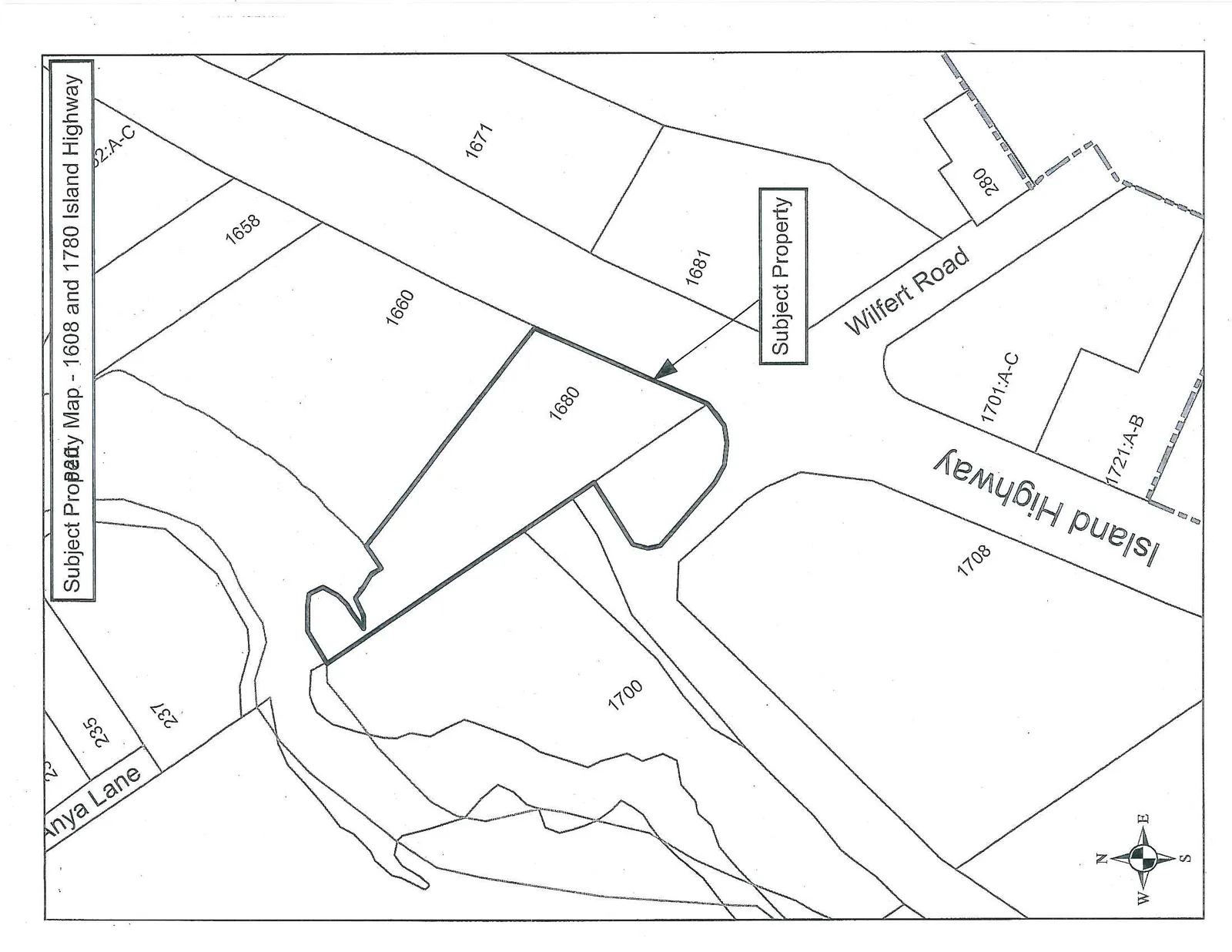
Subject Property Map - 1608 and 1780 Island Highway
October 1, 2013Page 231 section
Cadastral map showing the location of the subject property for the development permit.
1680 Island Highway
Subject Property Map - 1608 and 1780 Island Highway
Page 23
Extracted from: 2013 10 01 Council Agenda