Appendix
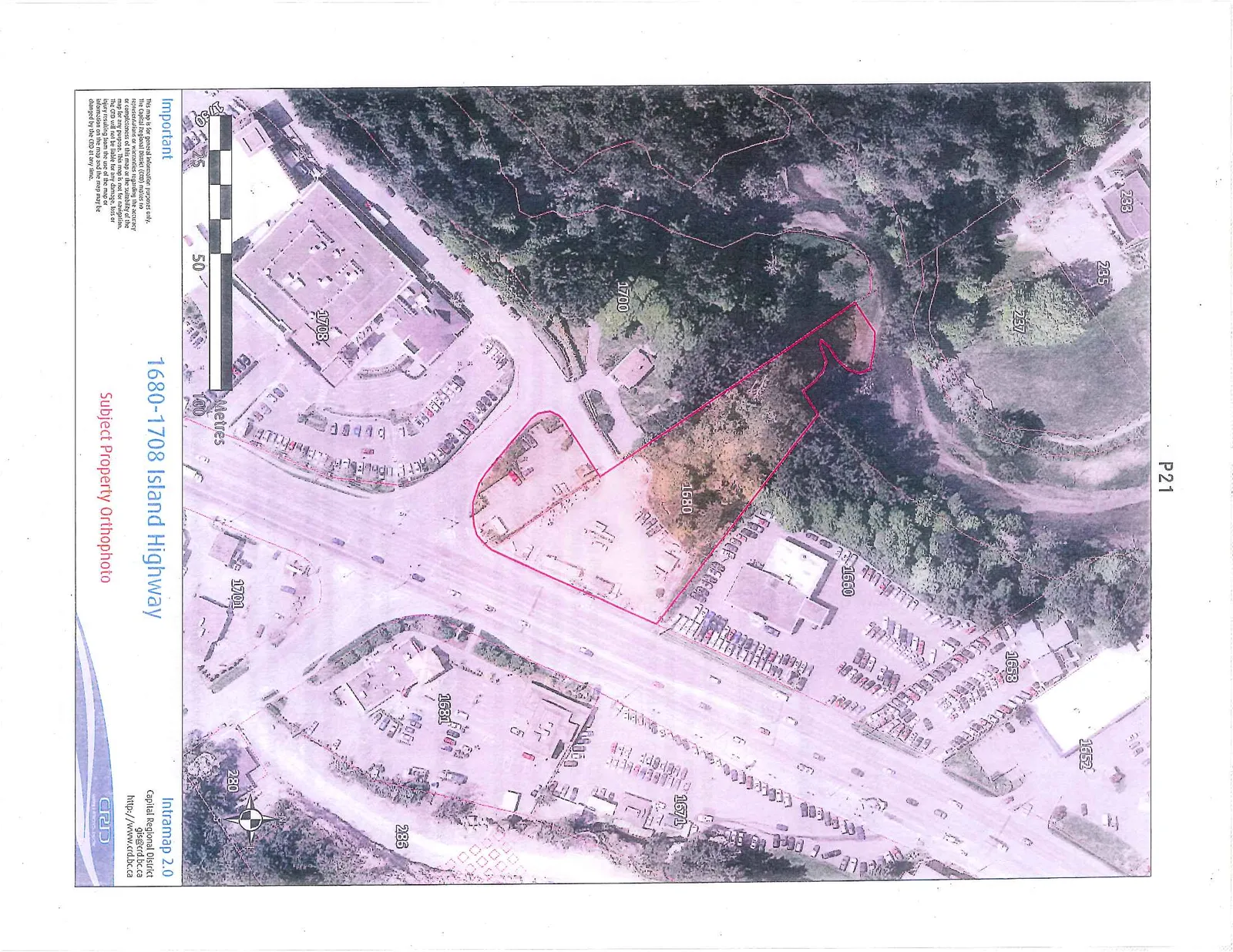
Subject Property Orthophoto - 1680-1708 Island Highway
October 1, 2013Page 241 section
Aerial orthophoto showing existing conditions of the Casino site and adjacent properties.
1680-1708 Island Highway
1680-1708 Island Highway
Subject Property Orthophoto
Important This map is for general information purposes only. The Capital Regional District (CRD) makes no representations or warranties regarding the accuracy or completeness of this map or the suitability of the map for any purpose. This map is not for navigation. The CRD will not be liable for any damage, loss or injury resulting from the use of the map or information on the map and the map may be changed by the CRD at any time.
Page 24
Extracted from: 2013 10 01 Council Agenda