Appendix
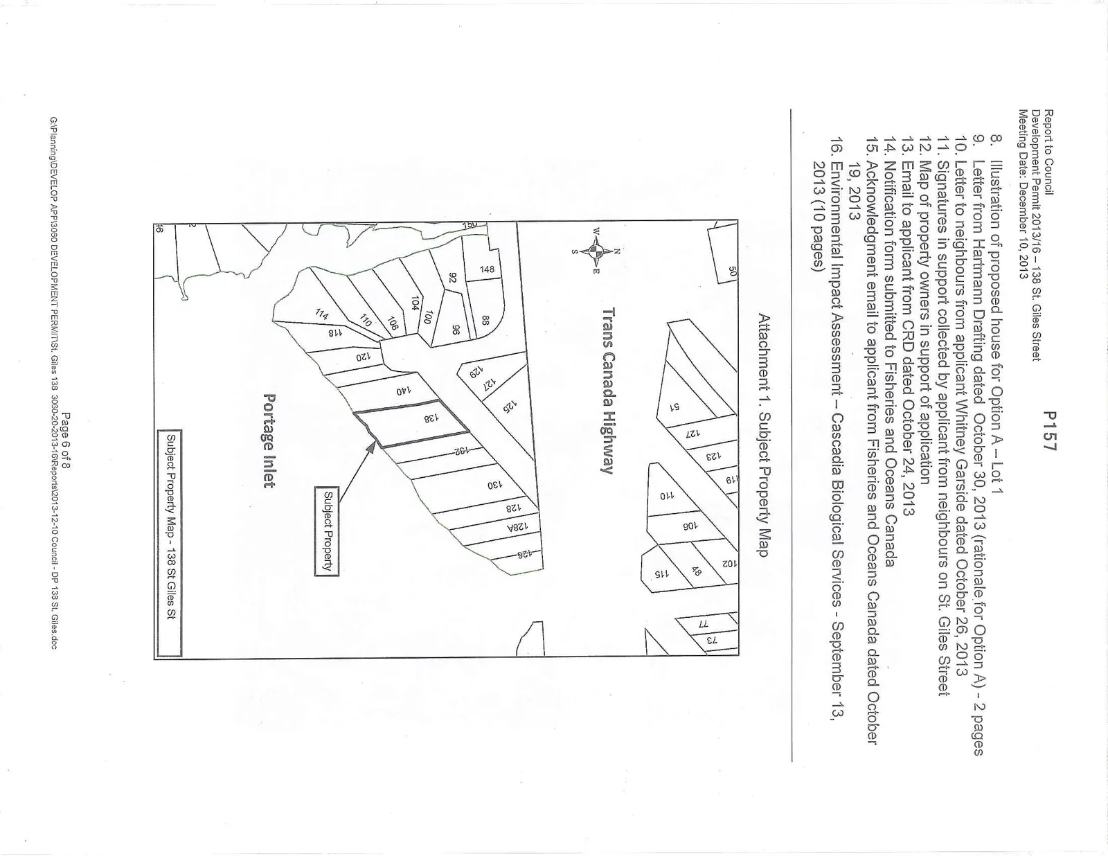
Attachment 1: Subject Property Map - 138 St. Giles Street
December 10, 2013Page 1621 section
Locational map showing the subject property's orientation between Trans Canada Highway and Portage Inlet.
138 St. Giles Street
Report to Council
Development Permit 2013/16 – 138 St. Giles Street Meeting Date: December 10, 2013 P157
- Illustration of proposed house for Option A – Lot 1
- Letter from Hartmann Drafting dated October 30, 2013 (rationale for Option A) - 2 pages
- Letter to neighbours from applicant Whitney Garside dated October 26, 2013
- Signatures in support collected by applicant from neighbours on St. Giles Street
- Map of property owners in support of application
- Email to applicant from CRD dated October 24, 2013
- Notification form submitted to Fisheries and Oceans Canada
- Acknowledgment email to applicant from Fisheries and Oceans Canada dated October 19, 2013
- Environmental Impact Assessment – Cascadia Biological Services - September 13, 2013 (10 pages)
Attachment 1. Subject Property Map
Page 162
Extracted from: 2013 12 10 Council Agenda