This site is in beta — data may be incomplete and features are still being added.
Council Meeting/Documents/Attachment I: Overview Map - Environmental Assessment 138 St Giles St
Appendix

Attachment I: Overview Map - Environmental Assessment 138 St Giles St

December 10, 2013Page 1831 section

Map showing the regional context and property location for the biological assessment.

1 CALL TO ORDER
138 St. Giles Street

Attachment I – Overview Map
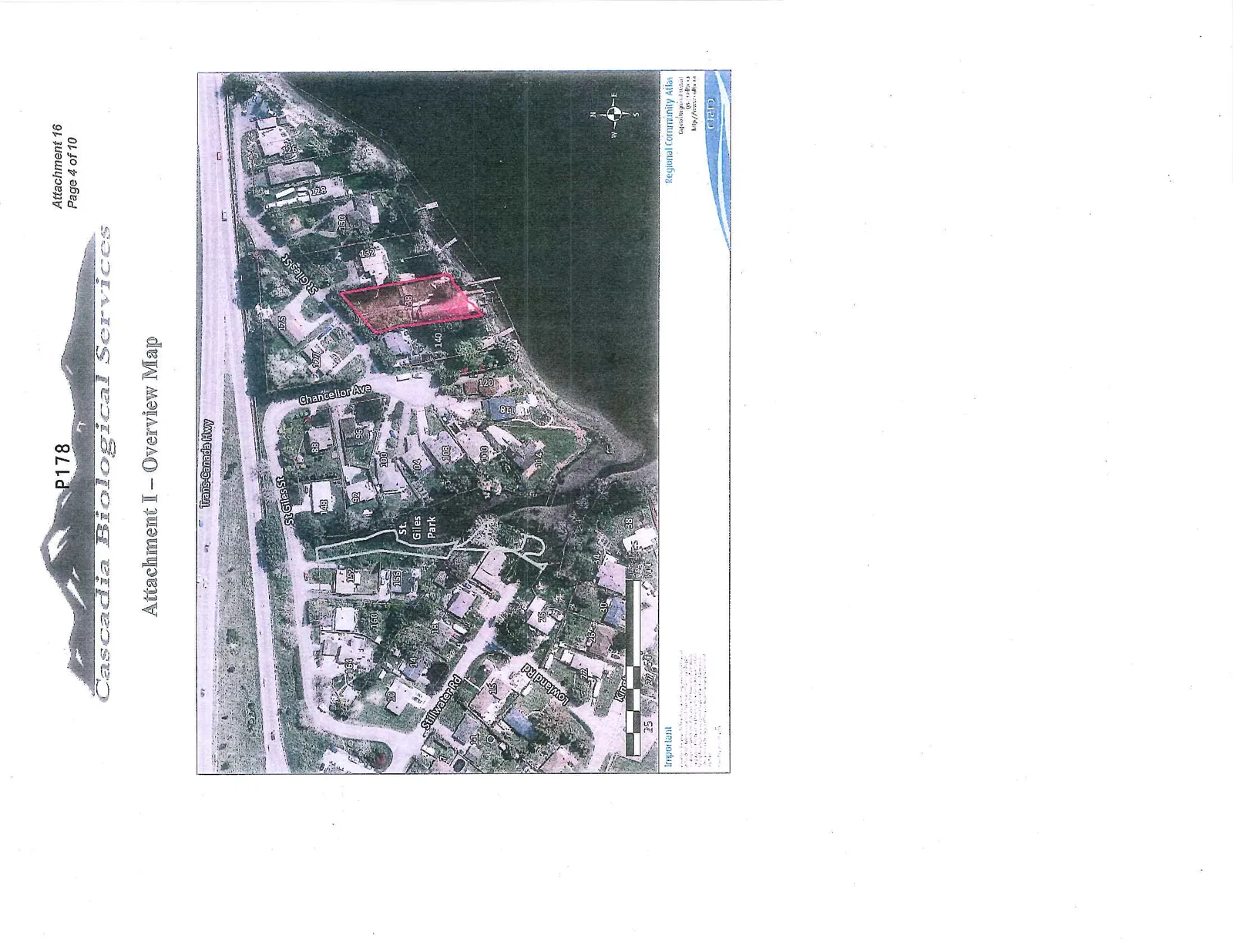
Aerial overview map showing residential lots near a body of water. Lot 138 is highlighted in pink. Nearby streets include Trans-Canada Hwy, St Giles St, Chancellor Ave, Stillwater Rd, and Lowland Rd. St. Giles Park is also labeled.
Page 183
Extracted from: 2013 12 10 Council Agenda