Council Meeting/Documents/Attachment III: Typical Site Photos - Environmental Assessment 138 St Giles St
Appendix
Attachment III: Typical Site Photos - Environmental Assessment 138 St Giles St
December 10, 2013Pages 185–1891 section
Photographic plates documenting the current condition of the shoreline, vegetation, and existing structures on the property.
Plates 1 through 5Includes view of existing pier
Attachment III – Typical Site Photos
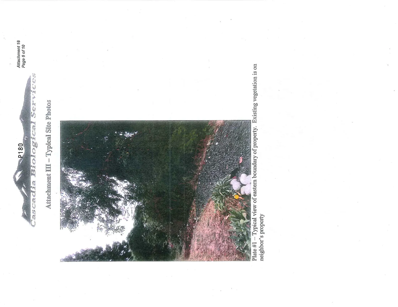
Plate #1 – Typical view of eastern boundary of property. Existing vegetation is on neighbor’s property
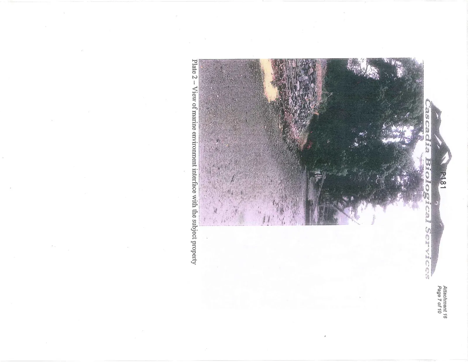
Plate 2 – View of marine environment interface with the subject property
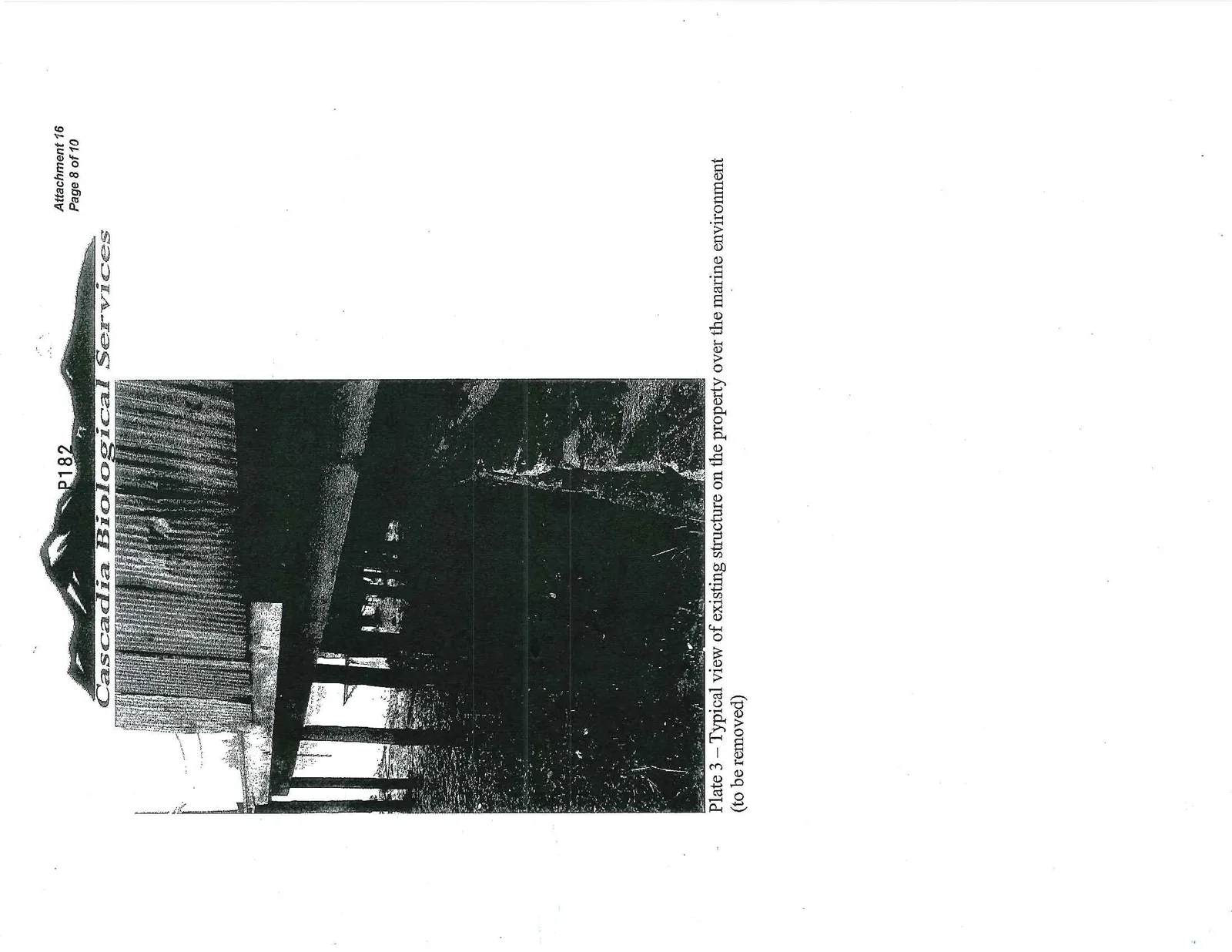
Plate 3 – Typical view of existing structure on the property over the marine environment (to be removed)
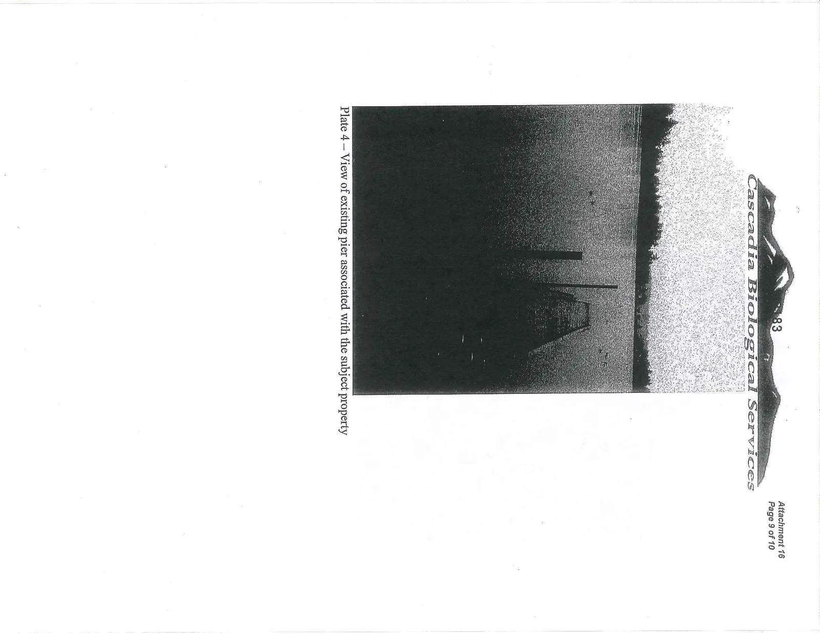
Plate 4 – View of existing pier associated with the subject property
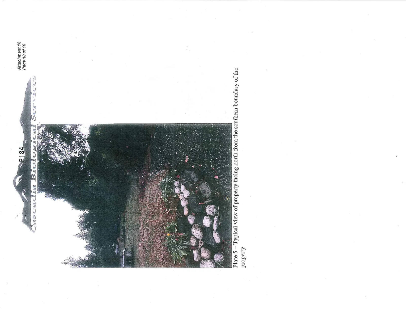
Plate 5 – Typical view of property facing north from the southern boundary of the property
Page 185–189
Extracted from: 2013 12 10 Council Agenda