Appendix
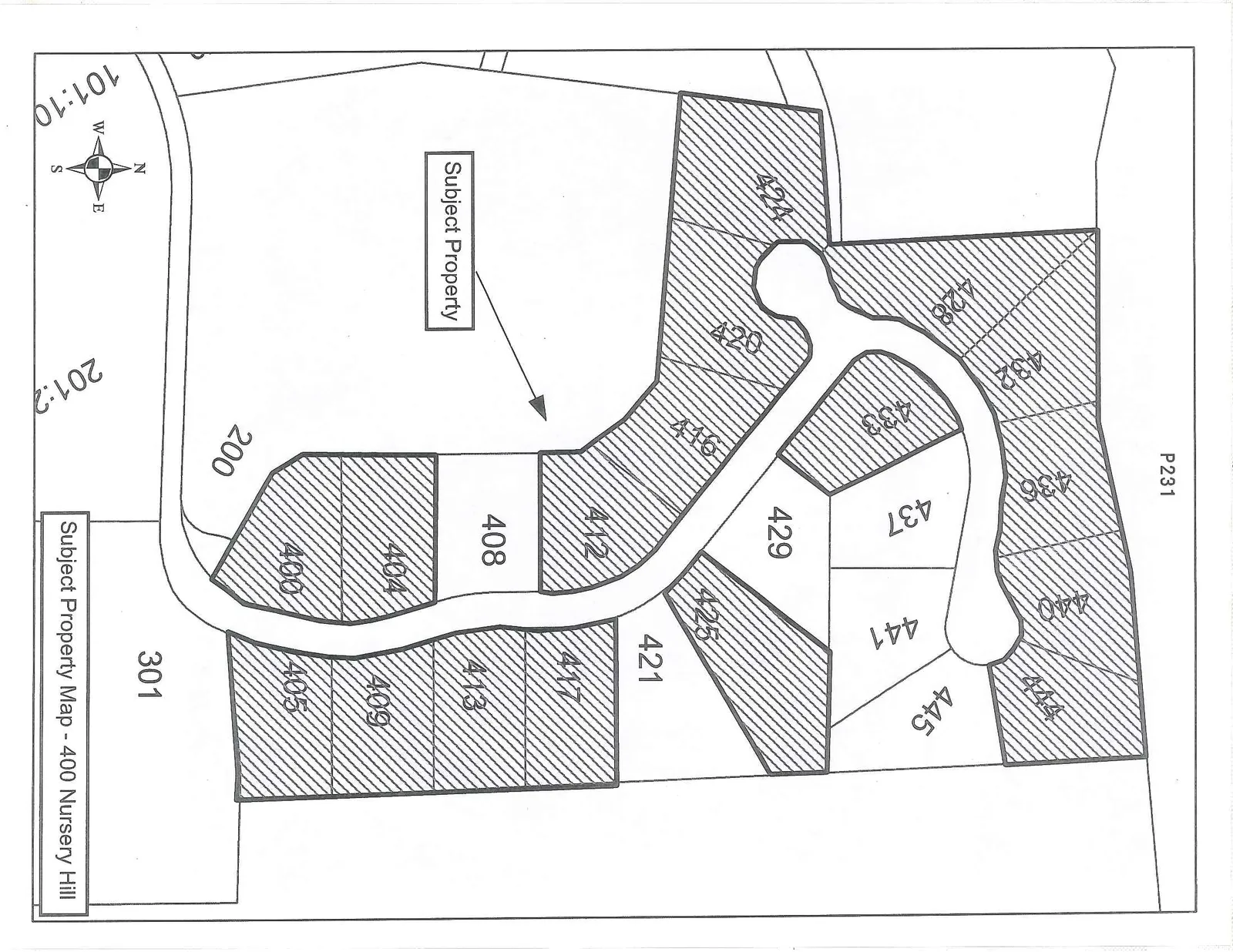
Subject Property Map - 400 Nursery Hill
December 10, 2013Page 2361 section
A map illustrating the specific properties on Nursery Hill Road subject to the rezoning application.
Nursery Hill propertiesP231
Subject Property Map - 400 Nursery Hill
Map Details:
- Subject Property: Indicated by a label and arrow pointing to a large area on the west side of the development.
- Numbered Lots:
- 400, 404, 405, 408, 409, 412, 413, 416, 417, 420, 421, 424, 425, 428, 429, 432, 433, 436, 437, 440, 441, 444, 445.
- Many of these lots are shaded with diagonal hatching.
- Other Parcel Numbers: 200, 301, P231.
- Orientation: A north arrow is located in the bottom left corner.
- Other Markings: 101:10, 201:2.
Page 236
Extracted from: 2013 12 10 Council Agenda