Appendix
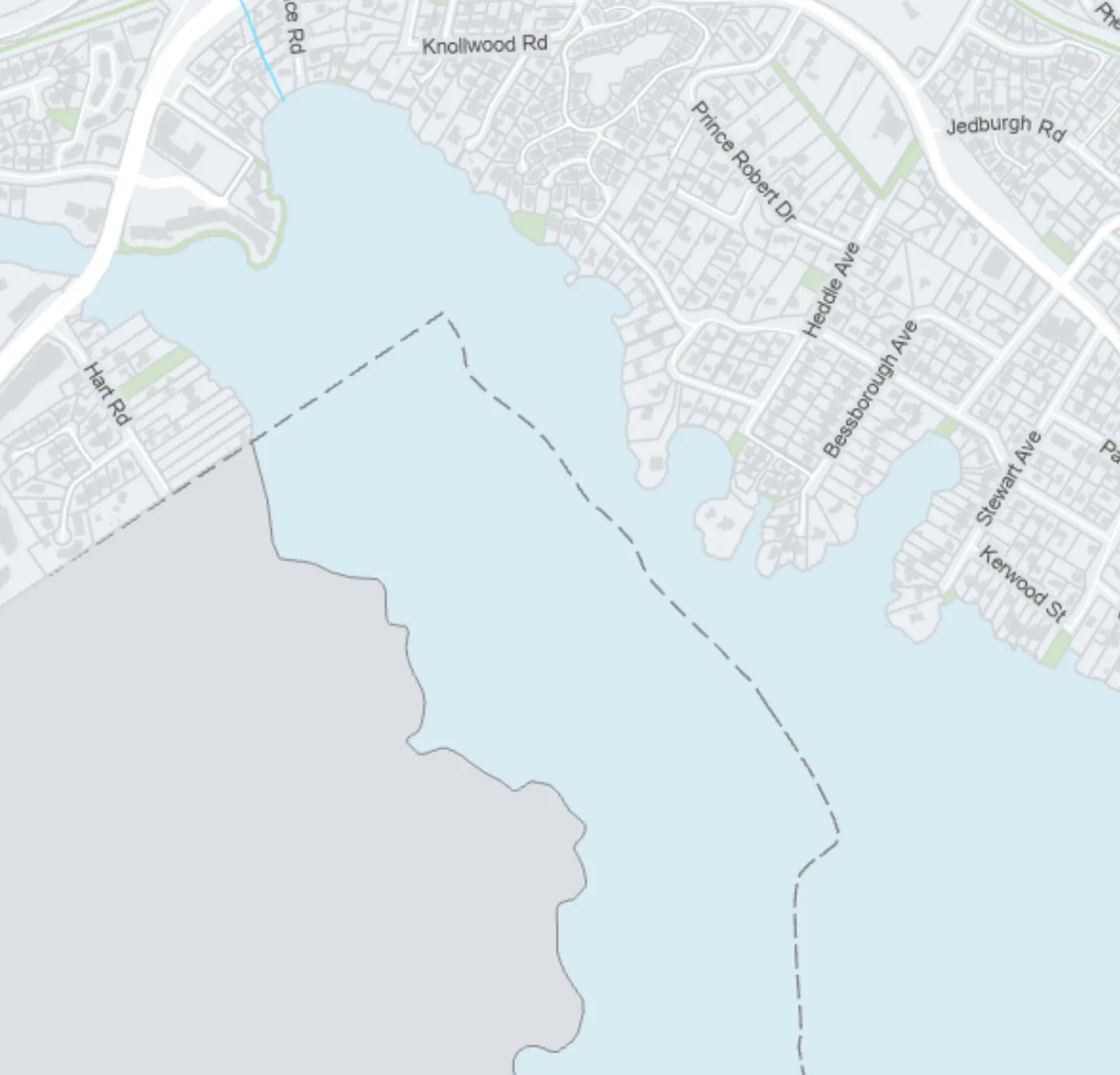
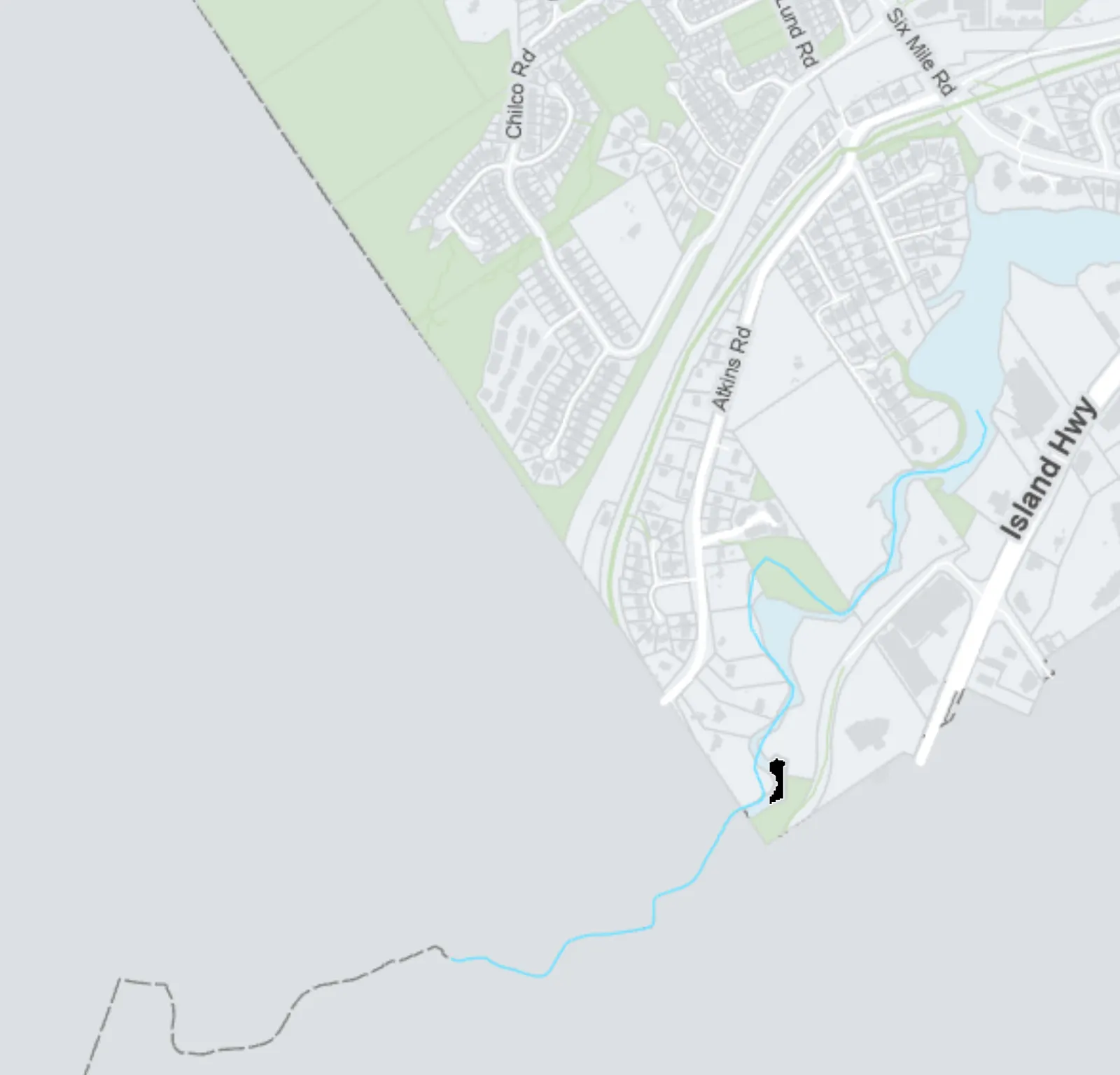
Attachment 2: Coastal Flood Risk Areas Map
April 23, 2024Page 181 section
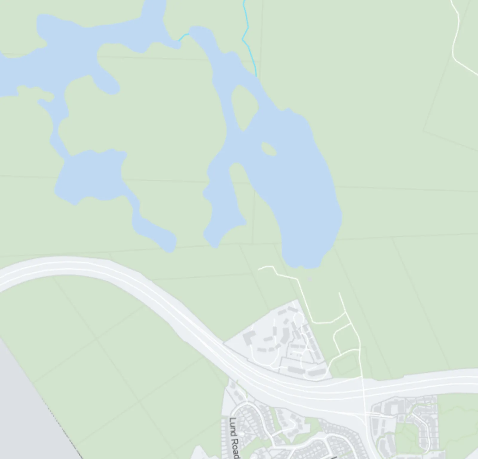
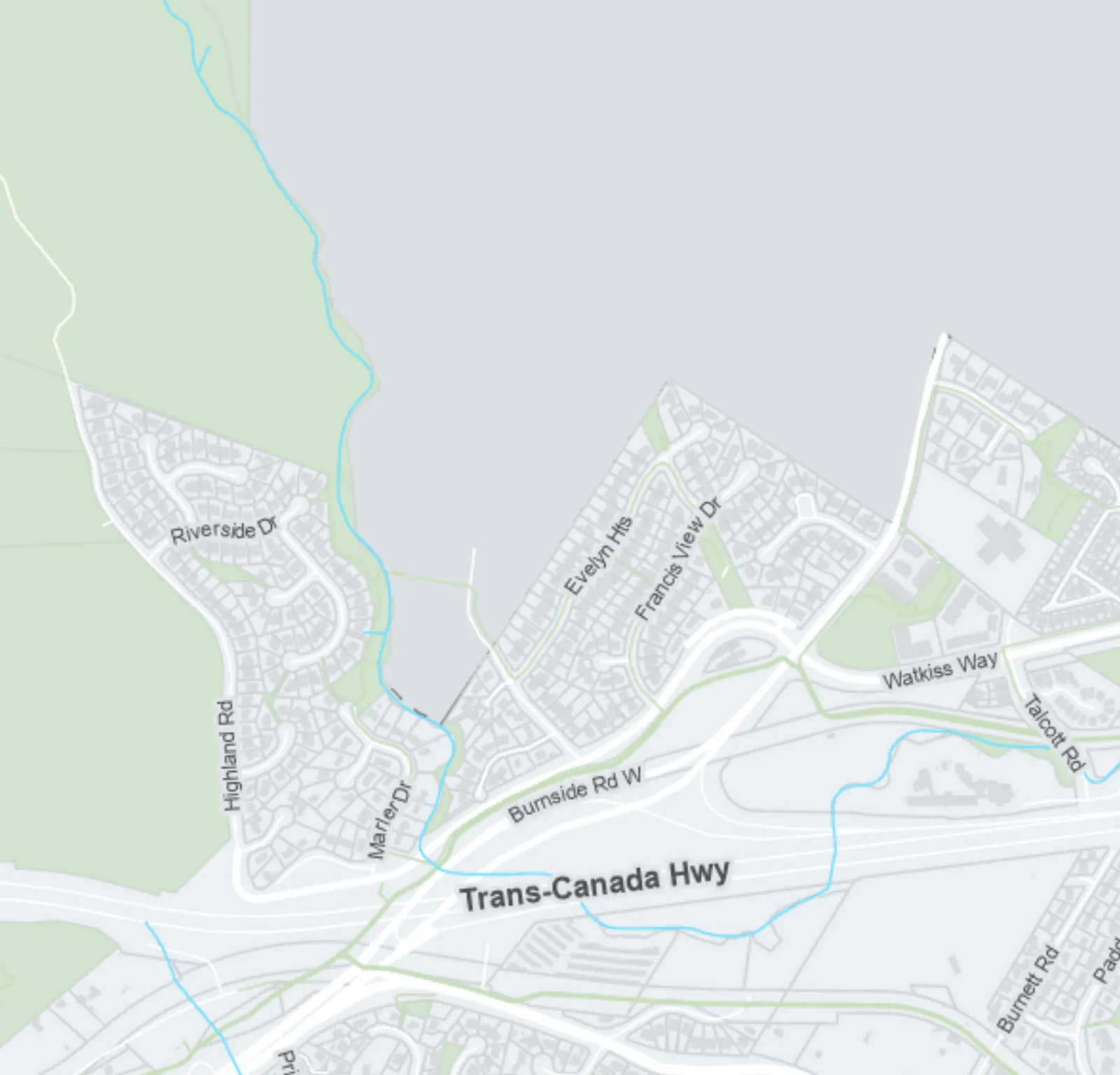
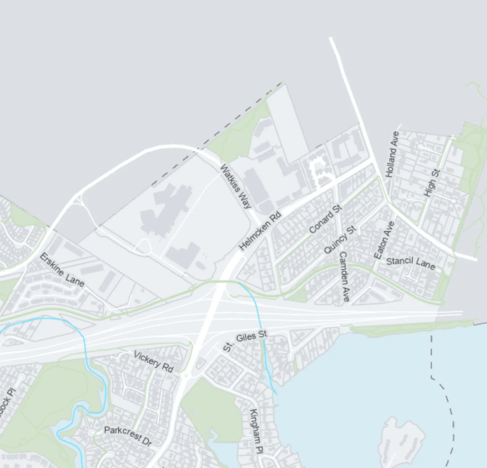
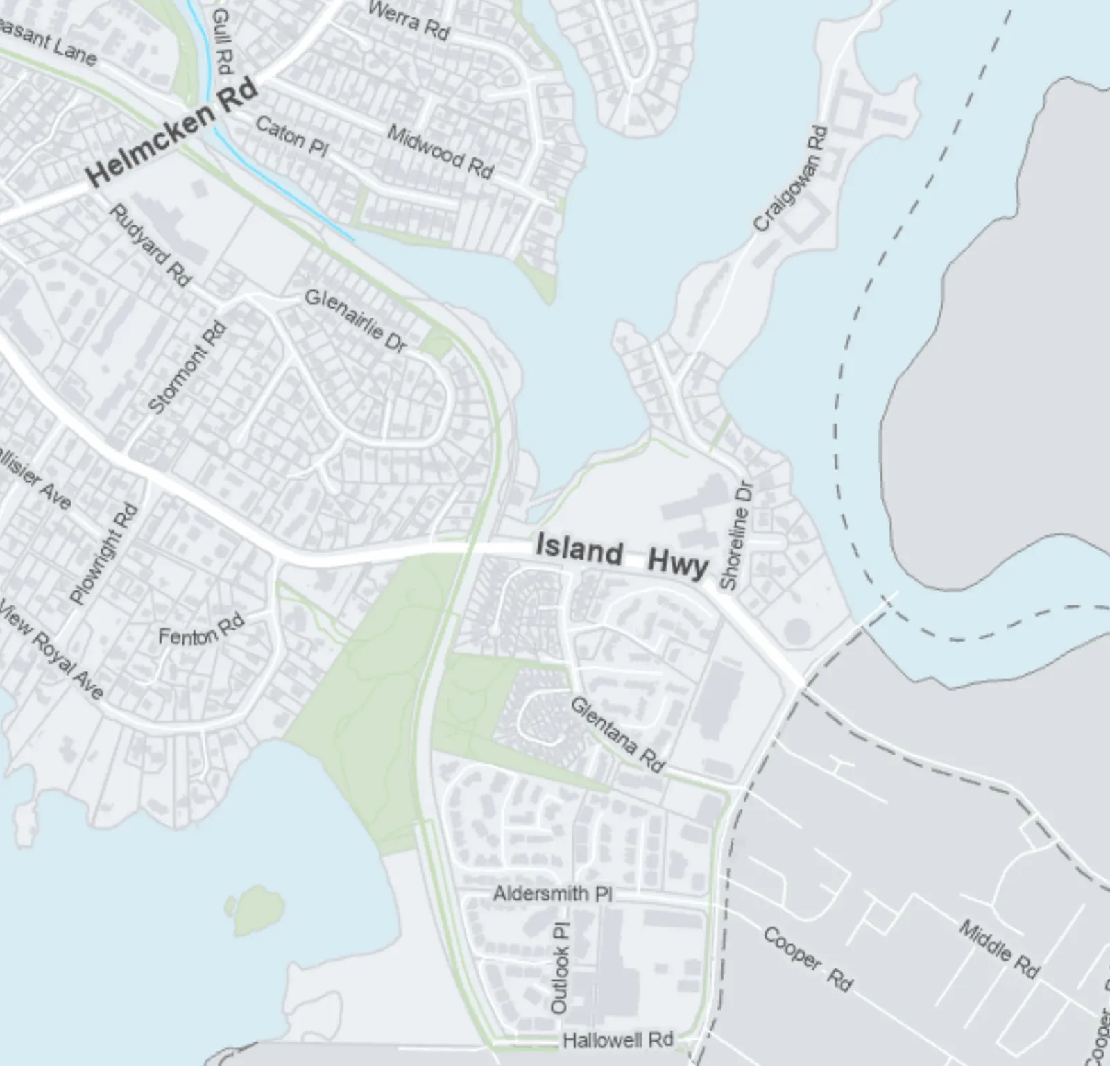
A map detailing specific coastal flood risks, including tsunami levels and future sea level rise projections.
8.46m Tsunami Water Surface Level (1-in-2500-Year Event)4.63m Flood Construction Level for 2m Sea Level Rise (Year 2200)
Attachment 2
TOWN OF VIEW ROYAL: Coastal Flood Risk Areas
Legend
| Feature | Description |
|---|---|
| 8.46m Tsunami Water Surface Level (1-in-2500-Year Event) | Red shaded area |
| 4.63m Flood Construction Level for 2m Sea Level Rise (est. Year 2200) | Yellow shaded area |
| SSMUH Parcels ≤ 280m² (Up to 3 units) | Light green shaded parcels |
| SSMUH Parcels ≥ 281m² (Up to 4 units) | Pink shaded parcels |
| SSMUH Parcels ≥ 281m², within 400m of a Prescribed Frequent Transit Stop (Up to 6 units) | Purple shaded parcels |
Map Notes
- Scale: 1:11,000
- Graphic Scale: 0 to 460 Meters
- Date: April 2024
- Flood data source: 2021 Capital Regional District Flood Inundation Mapping Project.
- Disclaimer: The boundaries shown on this map are intended to be approximate. Minor changes will be permitted without amendments to this plan.
Regional Features and Labels
- Parks: Thetis Lake Regional Park, Mill Hill Regional Park, View Royal Park, Helmcken Centennial Park, Portage Park.
- Water Bodies: Esquimalt Harbour, Portage Inlet, Pike Lake, Upper Thetis Lake.
- Municipalities and Areas: City of Langford, City of Colwood, Esquimalt Nation, Township of Esquimalt, District of Saanich.
- Major Roads: Trans-Canada Hwy, Island Hwy, Burnside Rd W, Watkiss Way, Helmcken Rd, Atkins Rd, Six Mile Rd.
Highlands Inset Inset map showing the Highlands area including Pike Lake and Upper Thetis Lake with a scale of 0 to 1 Kilometer.
Page 18
Document Images
(1)
Extracted from: 2024 04 23 Special Council Agenda - Agenda - Pdf