Appendix
Small-Scale Multi-Unit Housing (SSMUH) Parcel Map (Attachment 4)
June 11, 2024Page 2481 section
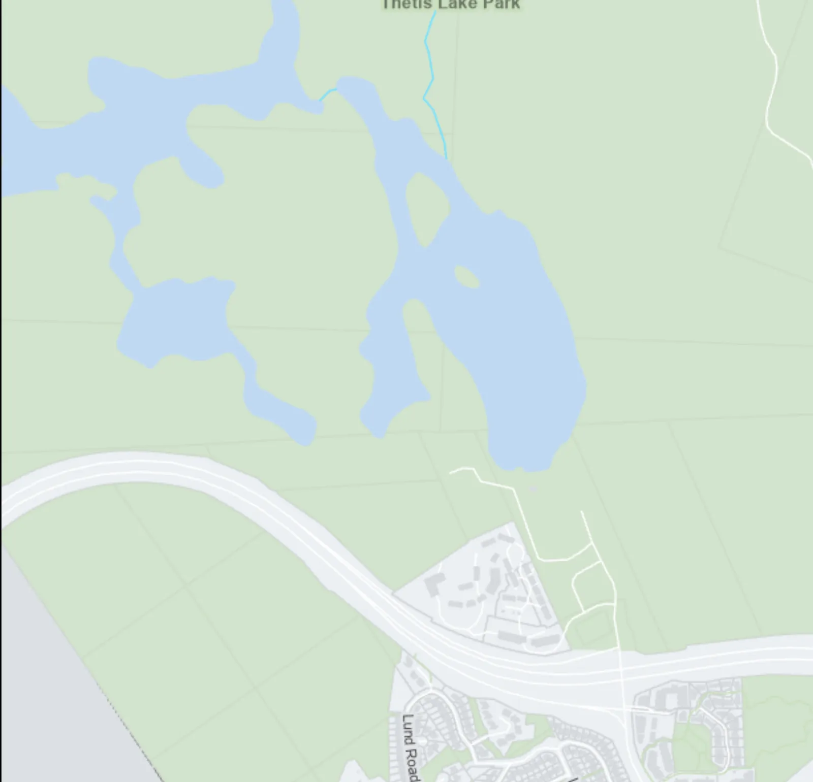
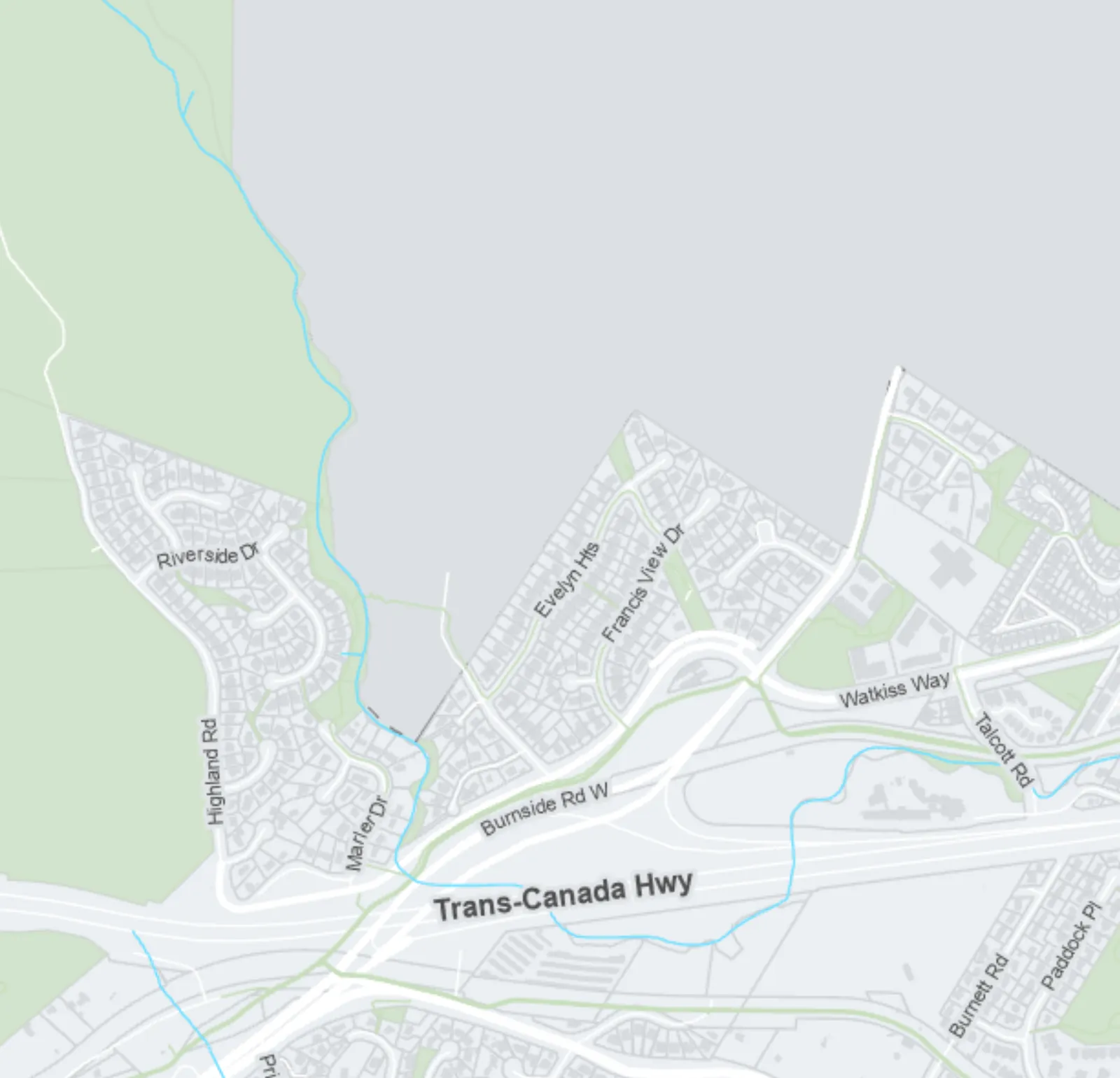
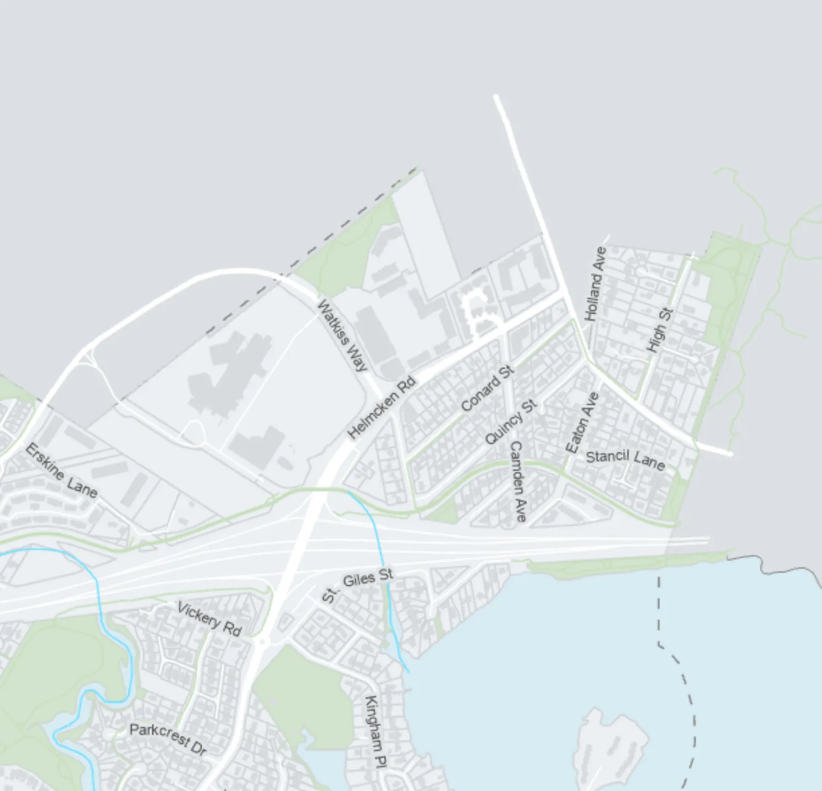
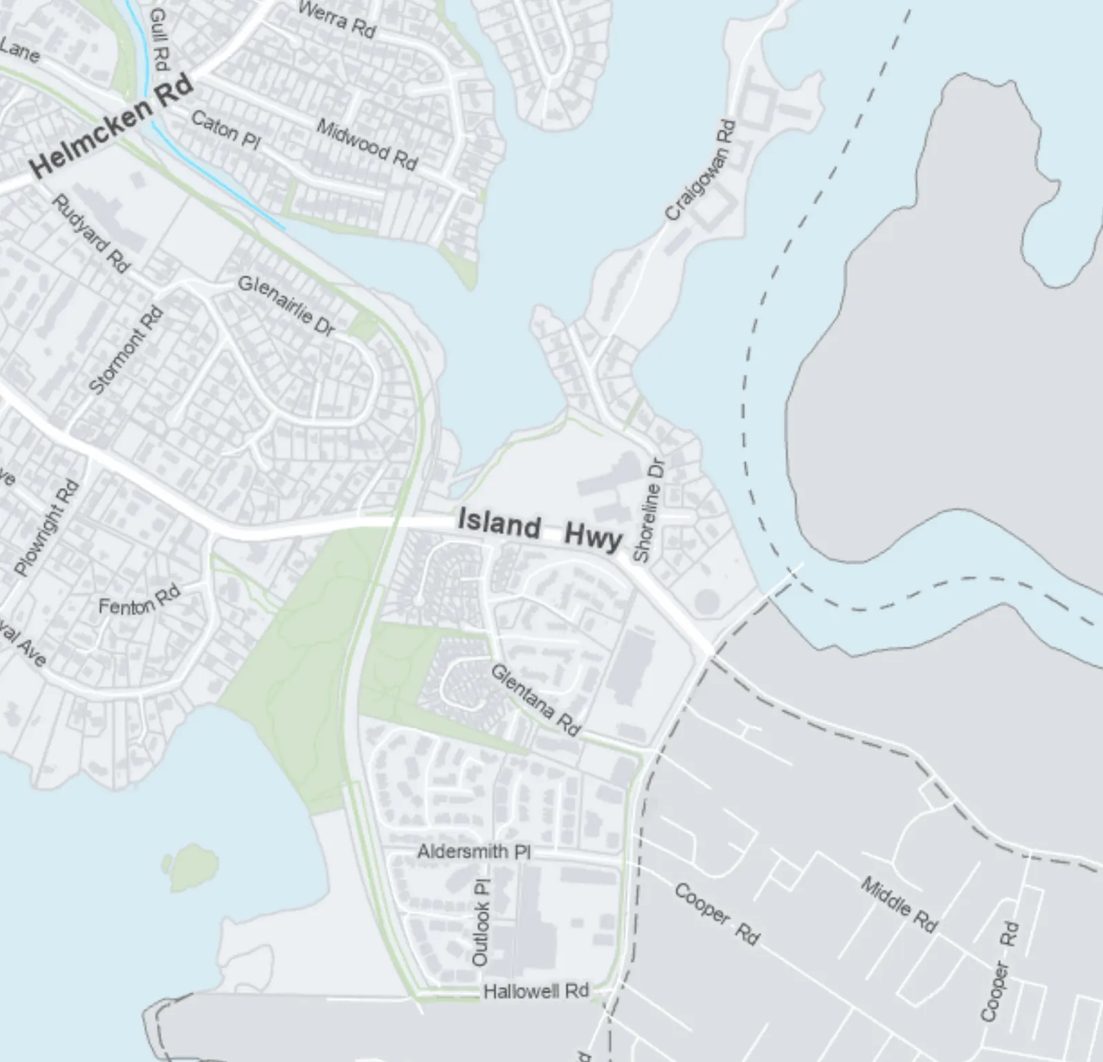
Color-coded map identifying parcels by allowed unit density (3, 4, or 6 units).
Parcels ≥ 281m² within 400m of a transit stop allow up to 6 units
ATTACHMENT 4
TOWN OF VIEW ROYAL
Small-Scale Multi-Unit Housing (SSMUH)
April 2024
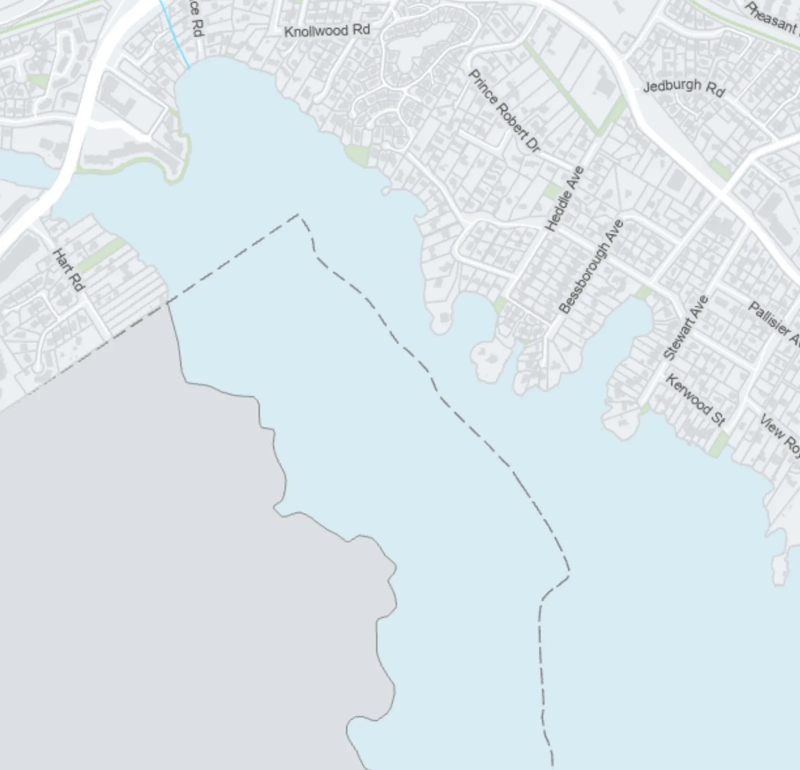
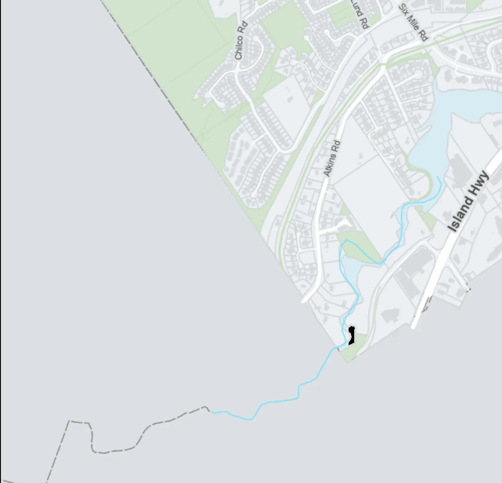
Legend
| Symbol | Description |
|---|---|
| Yellow Shaded Parcels | SSMUH Parcels ≤ 280m² (Up to 3 units) |
| Pink Shaded Parcels | Parcels ≥ 281m² (Up to 4 units) |
| Pink Shaded Parcels with Purple Hatching | SSMUH Parcels ≥ 281m², within 400m of a Prescribed Frequent Transit Stop (Up to 6 units) |
| Purple Outline | Fequent Transit Stop 400m Buffer |
| Green Circle Icon | Prescribed Frequent Transit Stop |
Map Information
- Scale: 1:11,500
- Highlands Inset Scale: 0 - 1 Kilometers
- The boundaries shown on this map are intended to be approximate. Minor changes will be permitted without amendments to this plan.
Geographic Areas and Landmarks
- Thetis Lake Regional Park
- Mill Hill Regional Park
- City of Langford
- City of Colwood
- Esquimalt Harbour
- Portage Inlet
- View Royal Park
- Helmcken Centennial Park
- Portage Park
- Esquimalt Nation
- Township of Esquimalt
- District of Saanich
Major Roadways
- Trans-Canada Hwy
- Island Hwy
- Watkiss Way
- Helmcken Rd
- Burnside Rd W
- Highland Rd
- Riverside Dr
Page 248
Document Images
(1)
Extracted from: 2024 06 11 Special Council Agenda - Agenda - Pdf