Staff Report: Development Permit 2015/13 - 356 Island Highway
Report recommending the approval of a development permit to remove approximately 300 cubic metres of fill and restore the riparian area near Craigflower Creek.
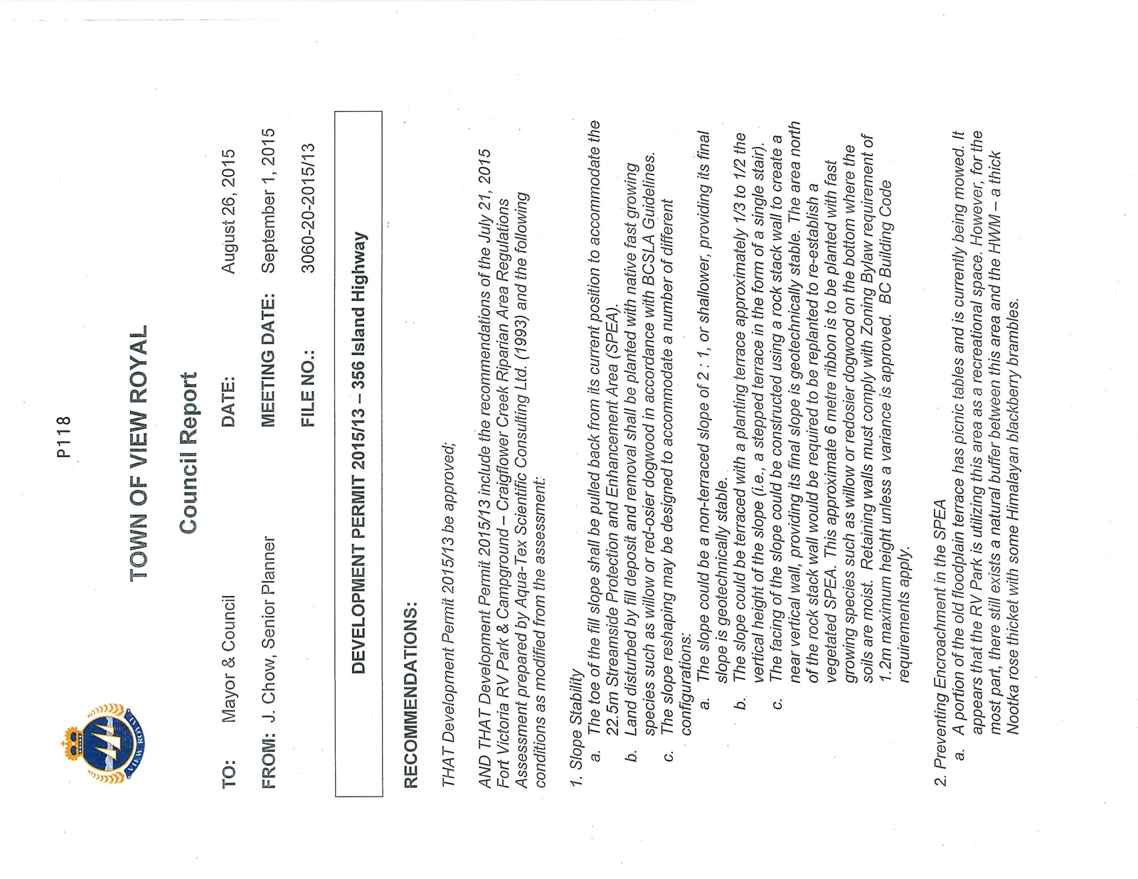
TOWN OF VIEW ROYAL
Council Report
TO: Mayor & Council DATE: August 26, 2015 FROM: J. Chow, Senior Planner MEETING DATE: September 1, 2015 FILE NO.: 3060-20-2015/13
DEVELOPMENT PERMIT 2015/13 – 356 Island Highway
RECOMMENDATIONS:
THAT Development Permit 2015/13 be approved;
AND THAT Development Permit 2015/13 include the recommendations of the July 21, 2015 Fort Victoria RV Park & Campground – Craigflower Creek Riparian Area Regulations Assessment prepared by Aqua-Tex Scientific Consulting Ltd. (1993) and the following conditions as modified from the assessment:
Slope Stability a. The toe of the fill slope shall be pulled back from its current position to accommodate the 22.5m Streamside Protection and Enhancement Area (SPEA). b. Land disturbed by fill deposit and removal shall be planted with native fast growing species such as willow or red-osier dogwood in accordance with BCSLA Guidelines. c. The slope reshaping may be designed to accommodate a number of different configurations: a. The slope could be a non-terraced slope of 2 : 1, or shallower, providing its final slope is geotechnically stable. b. The slope could be terraced with a planting terrace approximately 1/3 to 1/2 the vertical height of the slope (i.e., a stepped terrace in the form of a single stair). c. The facing of the slope could be constructed using a rock stack wall to create a near vertical wall, providing its final slope is geotechnically stable. The area north of the rock stack wall would be required to be replanted to re-establish a vegetated SPEA. This approximate 6 metre ribbon is to be planted with fast growing species such as willow or redosier dogwood on the bottom where the soils are moist. Retaining walls must comply with Zoning Bylaw requirement of 1.2m maximum height unless a variance is approved. BC Building Code requirements apply.
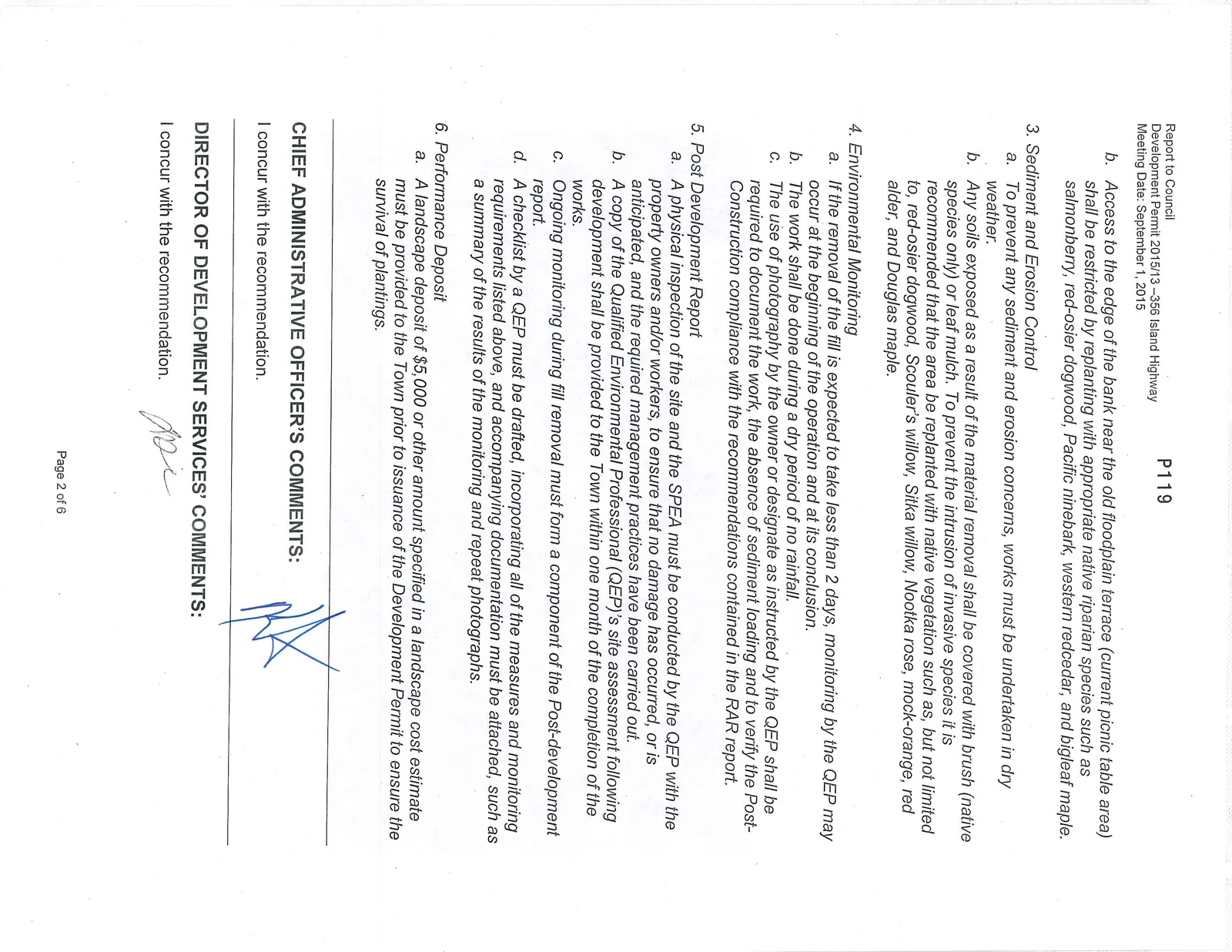
Preventing Encroachment in the SPEA a. A portion of the old floodplain terrace has picnic tables and is currently being mowed. It appears that the RV Park is utilizing this area as a recreational space. However, for the most part, there still exists a natural buffer between this area and the HWM – a thick Nootka rose thicket with some Himalayan blackberry brambles. b. Access to the edge of the bank near the old floodplain terrace (current picnic table area) shall be restricted by replanting with appropriate native riparian species such as salmonberry, red-osier dogwood, Pacific ninebark, western redcedar, and bigleaf maple.
Sediment and Erosion Control a. To prevent any sediment and erosion concerns, works must be undertaken in dry weather. b. Any soils exposed as a result of the material removal shall be covered with brush (native species only) or leaf mulch. To prevent the intrusion of invasive species it is recommended that the area be replanted with native vegetation such as, but not limited to, red-osier dogwood, Scouler's willow, Sitka willow, Nootka rose, mock-orange, red alder, and Douglas maple.
Environmental Monitoring a. If the removal of the fill is expected to take less than 2 days, monitoring by the QEP may occur at the beginning of the operation and at its conclusion. b. The work shall be done during a dry period of no rainfall. c. The use of photography by the owner or designate as instructed by the QEP shall be required to document the work, the absence of sediment loading and to verify the Post-Construction compliance with the recommendations contained in the RAR report.
Post Development Report a. A physical inspection of the site and the SPEA must be conducted by the QEP with the property owners and/or workers, to ensure that no damage has occurred, or is anticipated, and the required management practices have been carried out. b. A copy of the Qualified Environmental Professional (QEP)'s site assessment following development shall be provided to the Town within one month of the completion of the works. c. Ongoing monitoring during fill removal must form a component of the Post-development report. d. A checklist by a QEP must be drafted, incorporating all of the measures and monitoring requirements listed above, and accompanying documentation must be attached, such as a summary of the results of the monitoring and repeat photographs.
Performance Deposit a. A landscape deposit of $5,000 or other amount specified in a landscape cost estimate must be provided to the Town prior to issuance of the Development Permit to ensure the survival of plantings.
CHIEF ADMINISTRATIVE OFFICER'S COMMENTS:
I concur with the recommendation.
DIRECTOR OF DEVELOPMENT SERVICES' COMMENTS:
I concur with the recommendation.
PURPOSE OF REPORT:
The purpose of this report is to consider a development permit application to remove fill and restore land adjacent to Craigflower Creek within the Natural Watercourse and Shoreline Areas Development Permit Area. This application is being presented directly to Council for a decision in order for the work to be conducted in September. If Council requires more time to consider the application, the work will have to done in the 2016 fisheries window.
BACKGROUND:
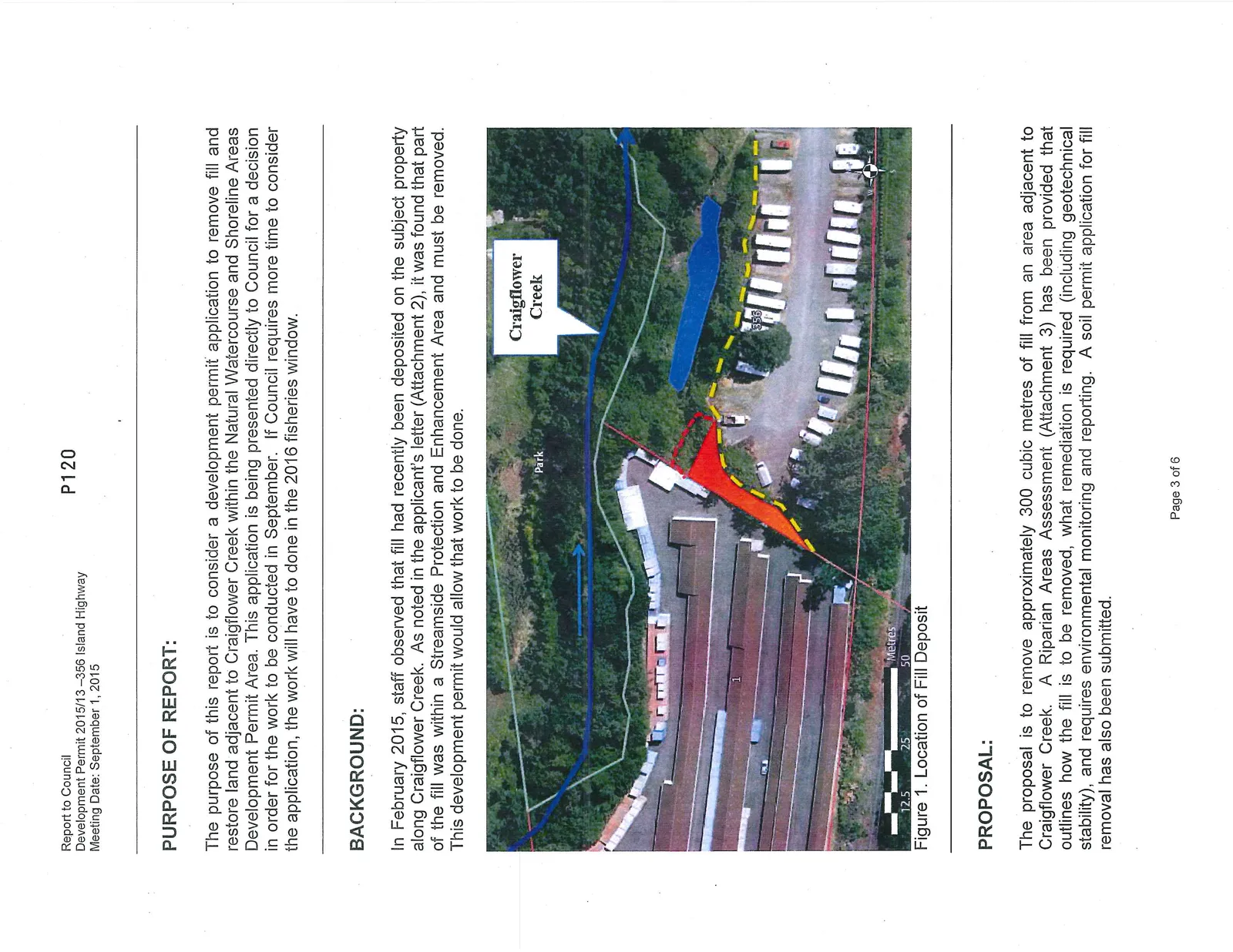
In February 2015, staff observed that fill had recently been deposited on the subject property along Craigflower Creek. As noted in the applicant’s letter (Attachment 2), it was found that part of the fill was within a Streamside Protection and Enhancement Area and must be removed. This development permit would allow that work to be done.
PROPOSAL:
The proposal is to remove approximately 300 cubic metres of fill from an area adjacent to Craigflower Creek. A Riparian Areas Assessment (Attachment 3) has been provided that outlines how the fill is to be removed, what remediation is required (including geotechnical stability), and requires environmental monitoring and reporting. A soil permit application for fill removal has also been submitted.
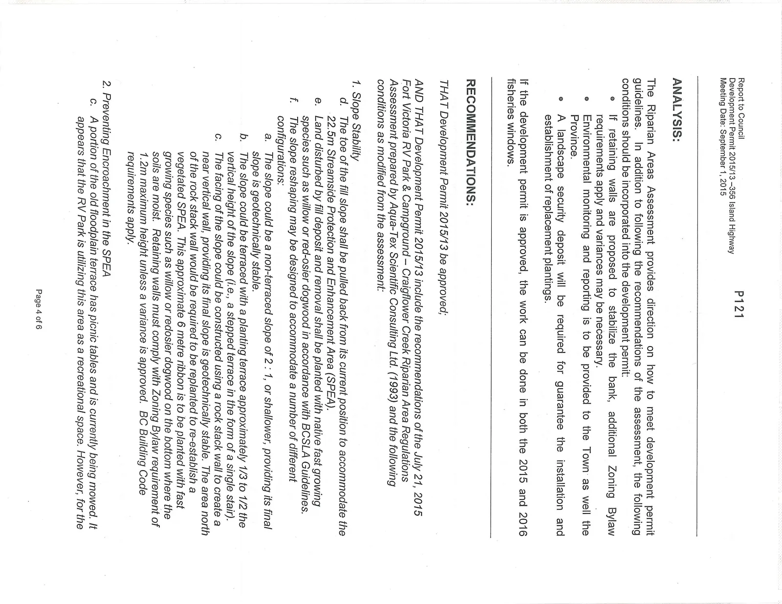
ANALYSIS:
The Riparian Areas Assessment provides direction on how to meet development permit guidelines. In addition to following the recommendations of the assessment, the following conditions should be incorporated into the development permit:
- If retaining walls are proposed to stabilize the bank, additional Zoning Bylaw requirements apply and variances may be necessary.
- Environmental monitoring and reporting is to be provided to the Town as well the Province.
- A landscape security deposit will be required for guarantee the installation and establishment of replacement plantings.
If the development permit is approved, the work can be done in both the 2015 and 2016 fisheries windows.
RECOMMENDATIONS:
THAT Development Permit 2015/13 be approved;
AND THAT Development Permit 2015/13 include the recommendations of the July 21, 2015 Fort Victoria RV Park & Campground – Craigflower Creek Riparian Area Regulations Assessment prepared by Aqua-Tex Scientific Consulting Ltd. (1993) and the following conditions as modified from the assessment:
Slope Stability d. The toe of the fill slope shall be pulled back from its current position to accommodate the 22.5m Streamside Protection and Enhancement Area (SPEA). e. Land disturbed by fill deposit and removal shall be planted with native fast growing species such as willow or red-osier dogwood in accordance with BCSLA Guidelines. f. The slope reshaping may be designed to accommodate a number of different configurations: a. The slope could be a non-terraced slope of 2 : 1, or shallower, providing its final slope is geotechnically stable. b. The slope could be terraced with a planting terrace approximately 1/3 to 1/2 the vertical height of the slope (i.e., a stepped terrace in the form of a single stair). c. The facing of the slope could be constructed using a rock stack wall to create a near vertical wall, providing its final slope is geotechnically stable. The area north of the rock stack wall would be required to be replanted to re-establish a vegetated SPEA. This approximate 6 metre ribbon is to be planted with fast growing species such as willow or redosier dogwood on the bottom where the soils are moist. Retaining walls must comply with Zoning Bylaw requirement of 1.2m maximum height unless a variance is approved. BC Building Code requirements apply.
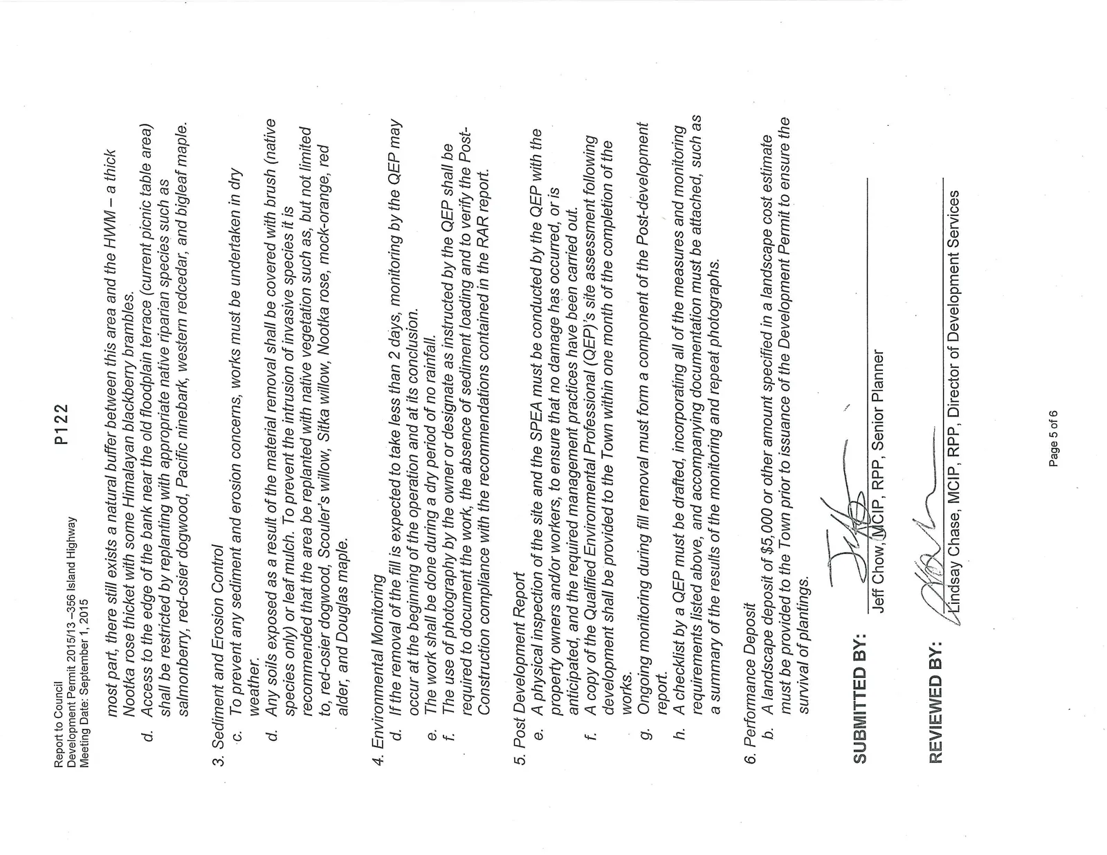
Preventing Encroachment in the SPEA c. A portion of the old floodplain terrace has picnic tables and is currently being mowed. It appears that the RV Park is utilizing this area as a recreational space. However, for the most part, there still exists a natural buffer between this area and the HWM – a thick Nootka rose thicket with some Himalayan blackberry brambles. d. Access to the edge of the bank near the old floodplain terrace (current picnic table area) shall be restricted by replanting with appropriate native riparian species such as salmonberry, red-osier dogwood, Pacific ninebark, western redcedar, and bigleaf maple.
Sediment and Erosion Control c. To prevent any sediment and erosion concerns, works must be undertaken in dry weather. d. Any soils exposed as a result of the material removal shall be covered with brush (native species only) or leaf mulch. To prevent the intrusion of invasive species it is recommended that the area be replanted with native vegetation such as, but not limited to, red-osier dogwood, Scouler's willow, Sitka willow, Nootka rose, mock-orange, red alder, and Douglas maple.
Environmental Monitoring d. If the removal of the fill is expected to take less than 2 days, monitoring by the QEP may occur at the beginning of the operation and at its conclusion. e. The work shall be done during a dry period of no rainfall. f. The use of photography by the owner or designate as instructed by the QEP shall be required to document the work, the absence of sediment loading and to verify the Post-Construction compliance with the recommendations contained in the RAR report.
Post Development Report e. A physical inspection of the site and the SPEA must be conducted by the QEP with the property owners and/or workers, to ensure that no damage has occurred, or is anticipated, and the required management practices have been carried out. f. A copy of the Qualified Environmental Professional (QEP)'s site assessment following development shall be provided to the Town within one month of the completion of the works. g. Ongoing monitoring during fill removal must form a component of the Post-development report. h. A checklist by a QEP must be drafted, incorporating all of the measures and monitoring requirements listed above, and accompanying documentation must be attached, such as a summary of the results of the monitoring and repeat photographs.
Performance Deposit b. A landscape deposit of $5,000 or other amount specified in a landscape cost estimate must be provided to the Town prior to issuance of the Development Permit to ensure the survival of plantings.
SUBMITTED BY: Jeff Chow, MCIP, RPP, Senior Planner
REVIEWED BY: Lindsay Chase, MCIP, RPP, Director of Development Services
Document Images
(4)