Appendix
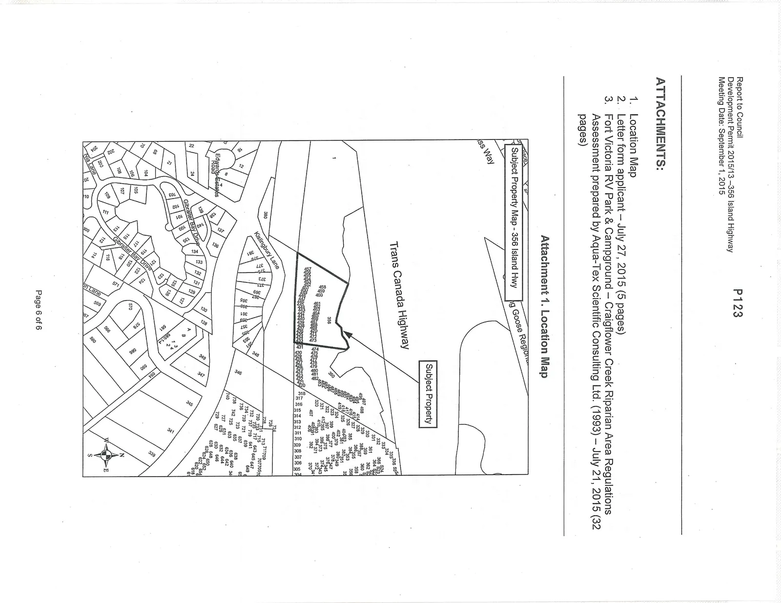
Attachment 1: Location Map - 356 Island Highway
September 1, 2015Page 1293 sections
Map showing the subject property at 356 Island Highway relative to the Trans Canada Highway and surrounding residential areas.
356 Island Highway
Report to Council Development Permit 2015/13 – 356 Island Highway Meeting Date: September 1, 2015
Page 129
ATTACHMENTS:
- Location Map
- Letter form applicant – July 27, 2015 (5 pages)
- Fort Victoria RV Park & Campground – Craigflower Creek Riparian Area Regulations Assessment prepared by Aqua-Tex Scientific Consulting Ltd. (1993) – July 21, 2015 (32 pages)
Page 129
Attachment 1. Location Map
Page 129
Extracted from: 2015 09 01 Council Agenda