This site is in beta — data may be incomplete and features are still being added.
Council Meeting/Documents/Attachment 1. Subject Property Map
Appendix

Attachment 1. Subject Property Map

March 20, 2012Page 601 section

Cadastral map highlighting the four parcels on Island Highway proposed for rezoning.

8.1b Rezoning - 229, 231, 235 and 241 Island Highway
229-241 Island HighwayBordered by Plowright Road and Island Highway

Report to Council

Re: 229, 231, 235, and 241 Island Highway

Meeting Date: March 20, 2012

Attachment 1. Subject Property Map
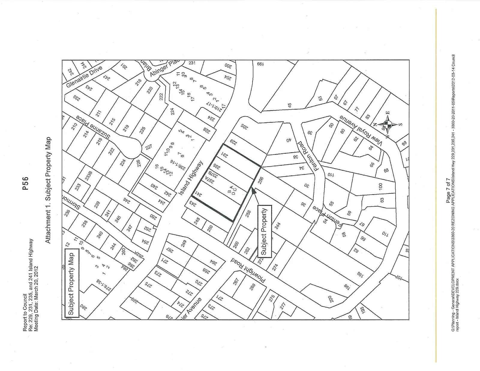
A parcel map showing the subject properties and the surrounding residential area. The "Subject Property" is identified as a series of lots fronting Island Highway, specifically including addresses 229, 231, 235, 237A, 237B, 241, and 243. Surrounding streets shown include Plowright Road, Fenton Place, Fenton Road, View Royal Avenue, Suzanne Place, Glenairlie Drive, and Abinger Place.
Page 60
Extracted from: 2012 03 20 Council Agenda