Attachment 2. Island Highway Townhouses Traffic Impact Assessment
Technical report assessing the capacity and safety impacts of the proposed 24-unit townhouse development on the local road system.
Island Highway Townhouses Traffic Impact Assessment Town of View Royal
Final Report
Prepared for Mr. Wayne Pye c/o Eric Barker Architect Inc.
Date February 2012
Prepared by Bunt & Associates
Project No. 5916.01
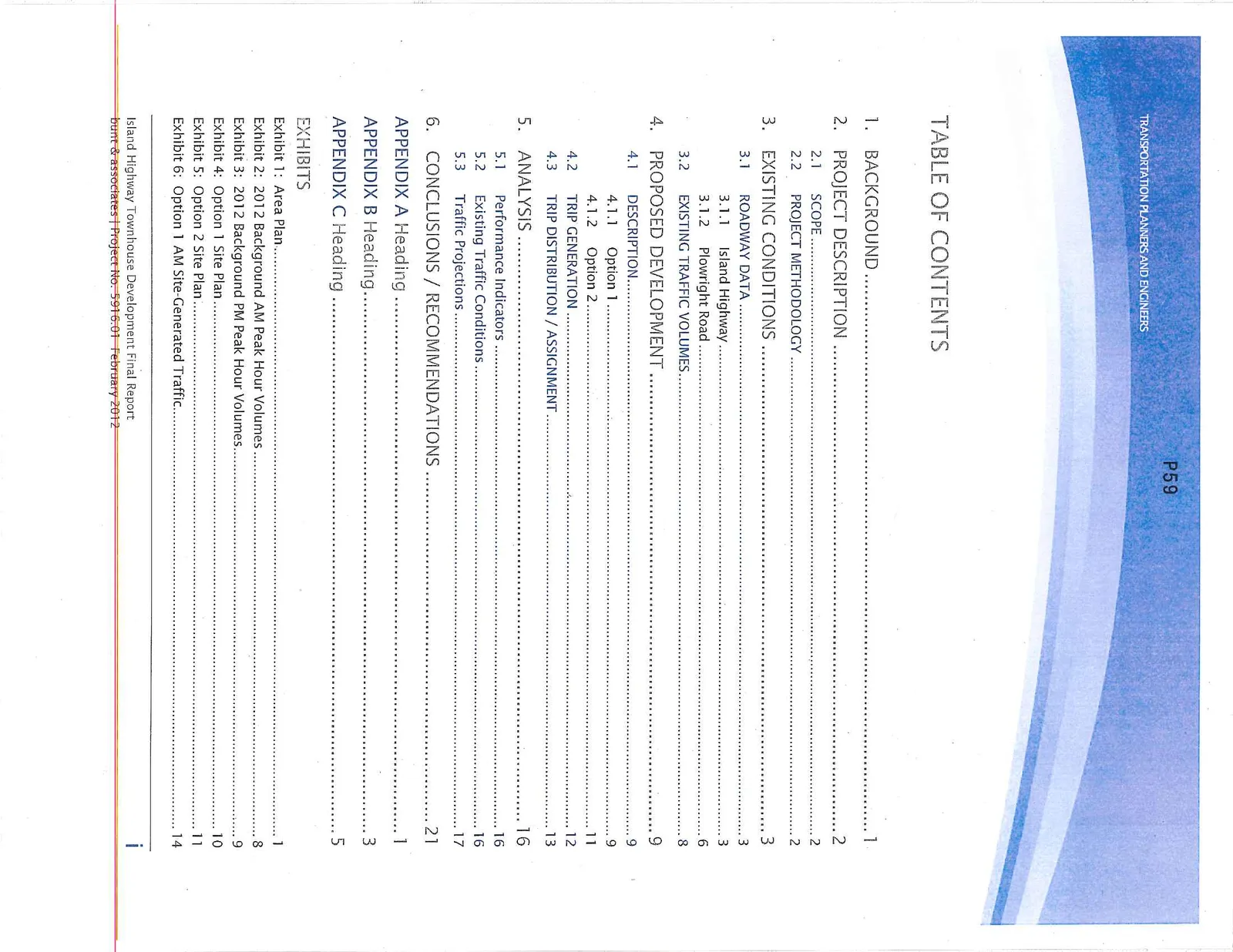
TABLE OF CONTENTS
- BACKGROUND ..................................................................................................................... 1
- PROJECT DESCRIPTION ..................................................................................................... 2 2.1 SCOPE .......................................................................................................................... 2 2.2 PROJECT METHODOLOGY ......................................................................................... 2
- EXISTING CONDITIONS ..................................................................................................... 3 3.1 ROADWAY DATA ........................................................................................................ 3 3.1.1 Island Highway ..................................................................................................... 3 3.1.2 Plowright Road .................................................................................................... 6 3.2 EXISTING TRAFFIC VOLUMES ................................................................................... 8
- PROPOSED DEVELOPMENT ............................................................................................... 9 4.1 DESCRIPTION .............................................................................................................. 9 4.1.1 Option 1 .............................................................................................................. 9 4.1.2 Option 2 ............................................................................................................ 11 4.2 TRIP GENERATION ................................................................................................... 12 4.3 TRIP DISTRIBUTION / ASSIGNMENT ........................................................................ 13
- ANALYSIS ......................................................................................................................... 16 5.1 Performance Indicators ................................................................................................ 16 5.2 Existing Traffic Conditions ........................................................................................... 16 5.3 Traffic Projections ........................................................................................................ 17
- CONCLUSIONS / RECOMMENDATIONS .......................................................................... 21 APPENDIX A Heading ................................................................................................................ 1 APPENDIX B Heading ................................................................................................................ 3 APPENDIX C Heading ................................................................................................................ 5
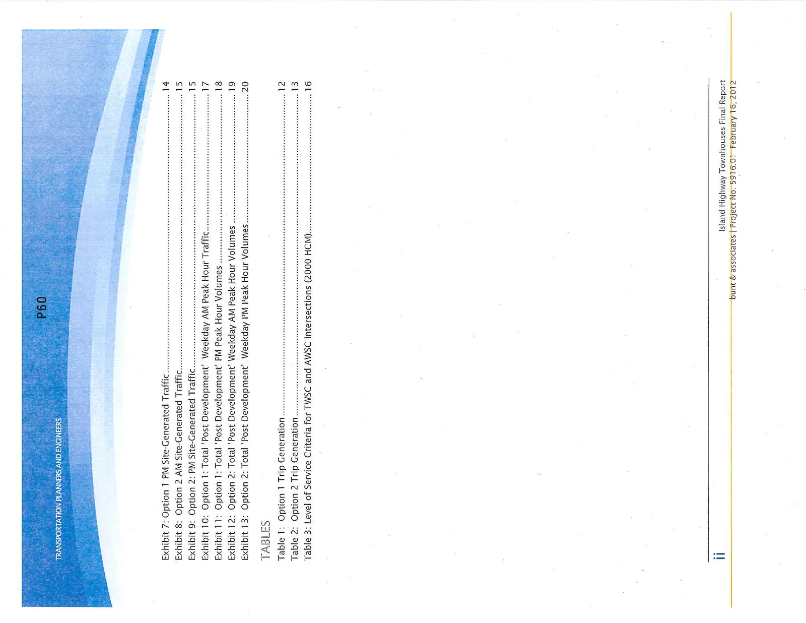
EXHIBITS Exhibit 1: Area Plan .................................................................................................................... 1 Exhibit 2: 2012 Background AM Peak Hour Volumes ................................................................ 8 Exhibit 3: 2012 Background PM Peak Hour Volumes ................................................................ 9 Exhibit 4: Option 1 Site Plan ..................................................................................................... 10 Exhibit 5: Option 2 Site Plan ..................................................................................................... 11 Exhibit 6: Option 1 AM Site-Generated Traffic .......................................................................... 14 Exhibit 7: Option 1 PM Site-Generated Traffic .......................................................................... 14 Exhibit 8: Option 2 AM Site-Generated Traffic .......................................................................... 15 Exhibit 9: Option 2 PM Site-Generated Traffic .......................................................................... 15 Exhibit 10: Option 1: Total ‘Post Development’ Weekday AM Peak Hour Traffic ........................ 17 Exhibit 11: Option 1: Total ‘Post Development’ PM Peak Hour Volumes .................................... 18 Exhibit 12: Option 2: Total ‘Post Development’ Weekday AM Peak Hour Volumes ..................... 19 Exhibit 13: Option 2: Total ‘Post Development’ Weekday PM Peak Hour Volumes ..................... 20
TABLES Table 1: Option 1 Trip Generation ............................................................................................ 12 Table 2: Option 2 Trip Generation ............................................................................................ 13 Table 3: Level of Service Criteria for TWSC and AWSC intersections (2000 HCM) ................... 16
1. BACKGROUND
The following Traffic Impact Assessment (TIA) is provided for incorporation into the rezoning and development permit application(s) for the properties located at 231, 235, 237 and 241 Island Highway in View Royal. The proposed development consolidates the four (4) aforementioned lots and proposes to construct a 23 unit Townhouse complex on the site. The location of the subject site is illustrated in the following Exhibit 1.
Exhibit 1: Area Plan
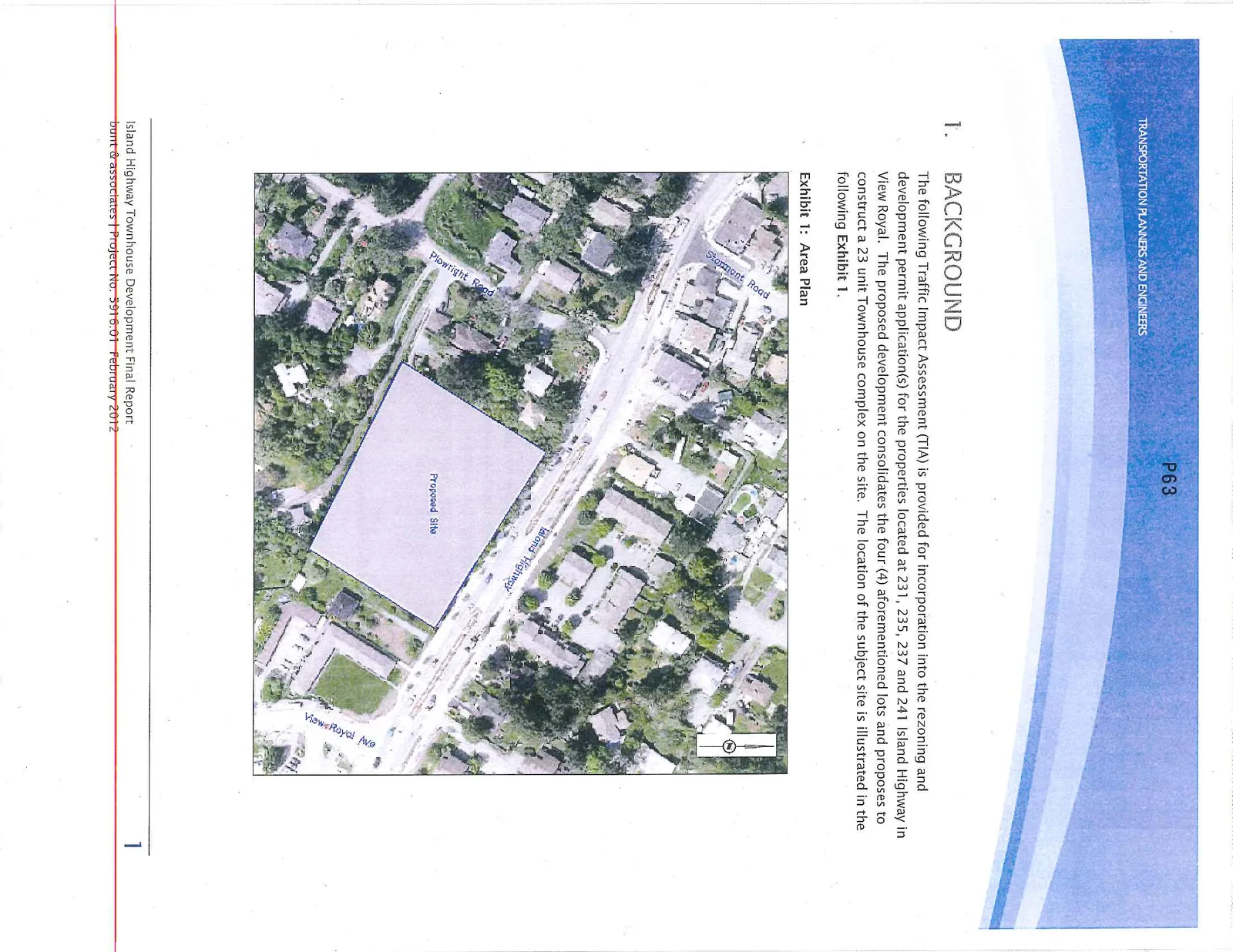
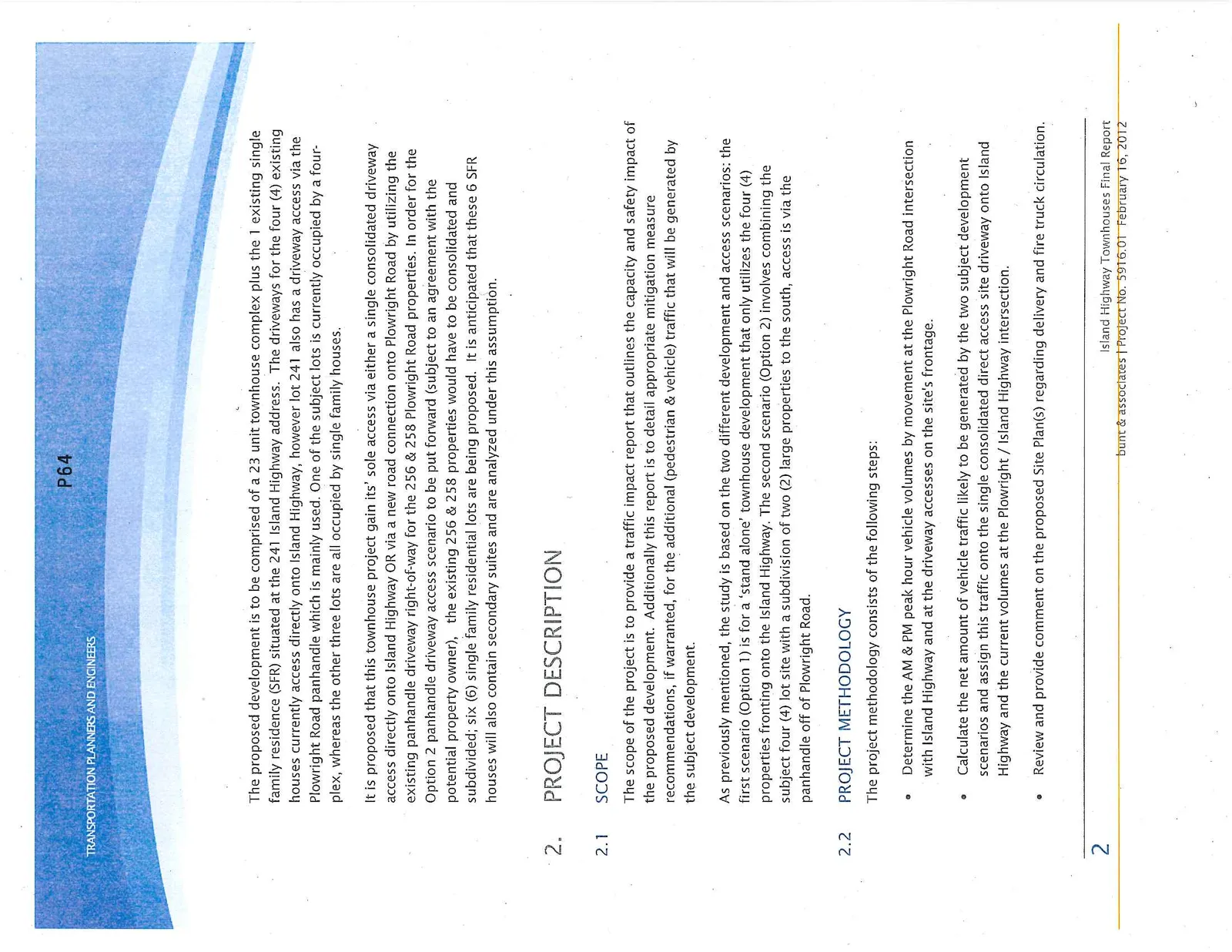
The proposed development is to be comprised of a 23 unit townhouse complex plus the 1 existing single family residence (SFR) situated at the 241 Island Highway address. The driveways for the four (4) existing houses currently access directly onto Island Highway, however lot 241 also has a driveway access via the Plowright Road panhandle which is mainly used. One of the subject lots is currently occupied by a four-plex, whereas the other three lots are all occupied by single family houses.
It is proposed that this townhouse project gain its' sole access via either a single consolidated driveway access directly onto Island Highway OR via a new road connection onto Plowright Road by utilizing the existing panhandle driveway right-of-way for the 256 & 258 Plowright Road properties. In order for the Option 2 panhandle driveway access scenario to be put forward (subject to an agreement with the potential property owner), the existing 256 & 258 properties would have to be consolidated and subdivided; six (6) single family residential lots are being proposed. It is anticipated that these 6 SFR houses will also contain secondary suites and are analyzed under this assumption.
2. PROJECT DESCRIPTION
2.1 SCOPE
The scope of the project is to provide a traffic impact report that outlines the capacity and safety impact of the proposed development. Additionally this report is to detail appropriate mitigation measure recommendations, if warranted, for the additional (pedestrian & vehicle) traffic that will be generated by the subject development.
As previously mentioned, the study is based on the two different development and access scenarios: the first scenario (Option 1) is for a ‘stand alone’ townhouse development that only utilizes the four (4) properties fronting onto the Island Highway. The second scenario (Option 2) involves combining the subject four (4) lot site with a subdivision of two (2) large properties to the south, access is via the panhandle off of Plowright Road.
2.2 PROJECT METHODOLOGY
The project methodology consists of the following steps:
- Determine the AM & PM peak hour vehicle volumes by movement at the Plowright Road intersection with Island Highway and at the driveway accesses on the site's frontage.
- Calculate the net amount of vehicle traffic likely to be generated by the two subject development scenarios and assign this traffic onto the single consolidated direct access site driveway onto Island Highway and the current volumes at the Plowright / Island Highway intersection.
- Review and provide comment on the proposed Site Plan(s) regarding delivery and fire truck circulation.
- Conduct an appropriate level of service and safety analysis, and provide a report outlining the ‘level of impact’ and suitable ‘mitigation measures’ (if required) regarding the pedestrian and vehicular traffic generated by the project.
3. EXISTING CONDITIONS
On-street parking is prohibited along the proposed development's Island Highway frontage and as previously mentioned, the subject properties currently have four (4) private driveways for Single Family dwellings with direct access onto Island Highway. Across the Island Highway, on the north side of the proposed development, is an existing 16-unit CRD townhouse complex (Address 236) with a single direct access onto the highway. The existing panhandle driveway off of Plowright Road provides access to the two (2) large lots (256 and 241 Plowright Road) with the subdivision potential to be analyzed as Option 2.
3.1 ROADWAY DATA
3.1.1 Island Highway
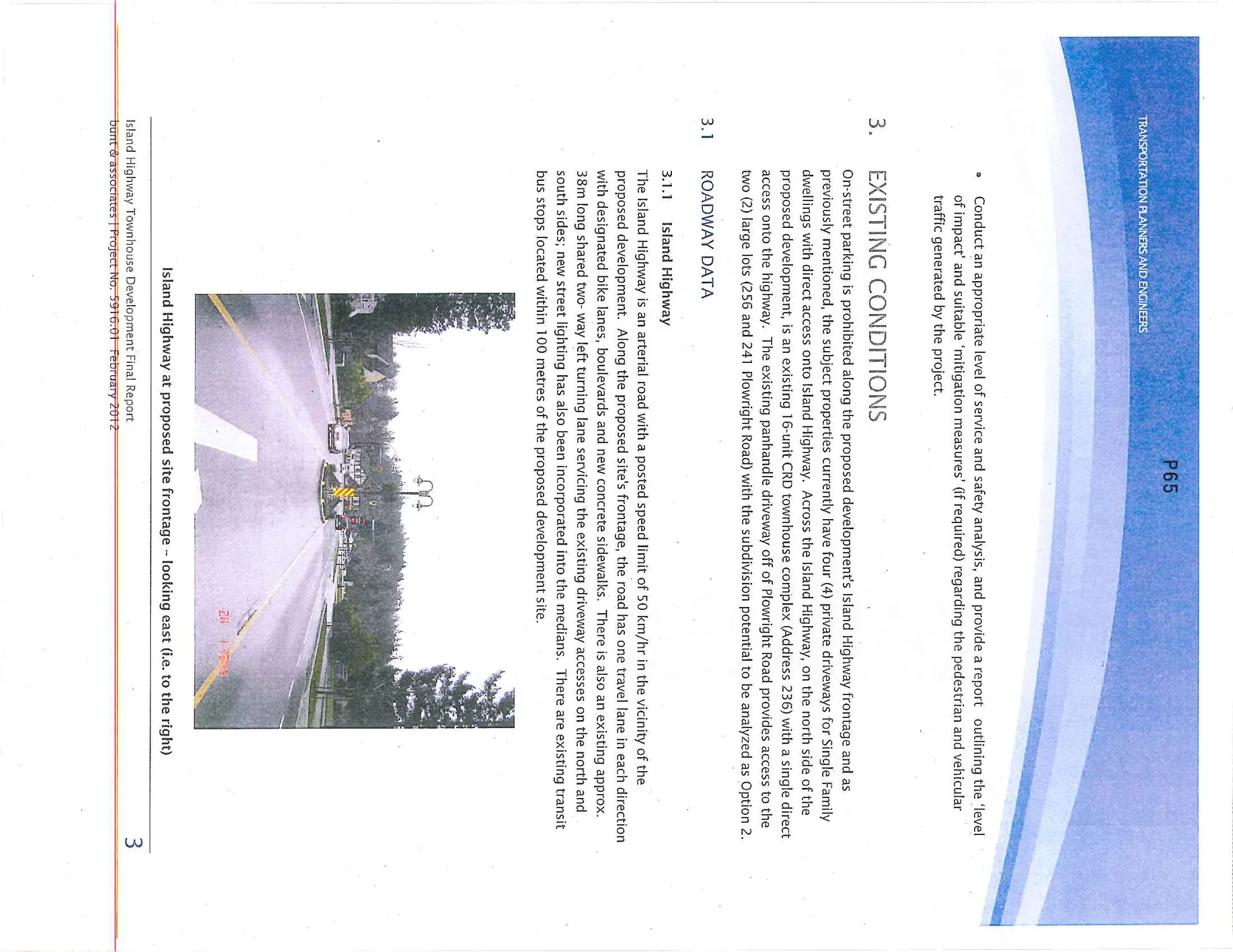
The Island Highway is an arterial road with a posted speed limit of 50 km/hr in the vicinity of the proposed development. Along the proposed site's frontage, the road has one travel lane in each direction with designated bike lanes, boulevards and new concrete sidewalks. There is also an existing approx. 38m long shared two-way left turning lane servicing the existing driveway accesses on the north and south sides; new street lighting has also been incorporated into the medians. There are existing transit bus stops located within 100 metres of the proposed development site.
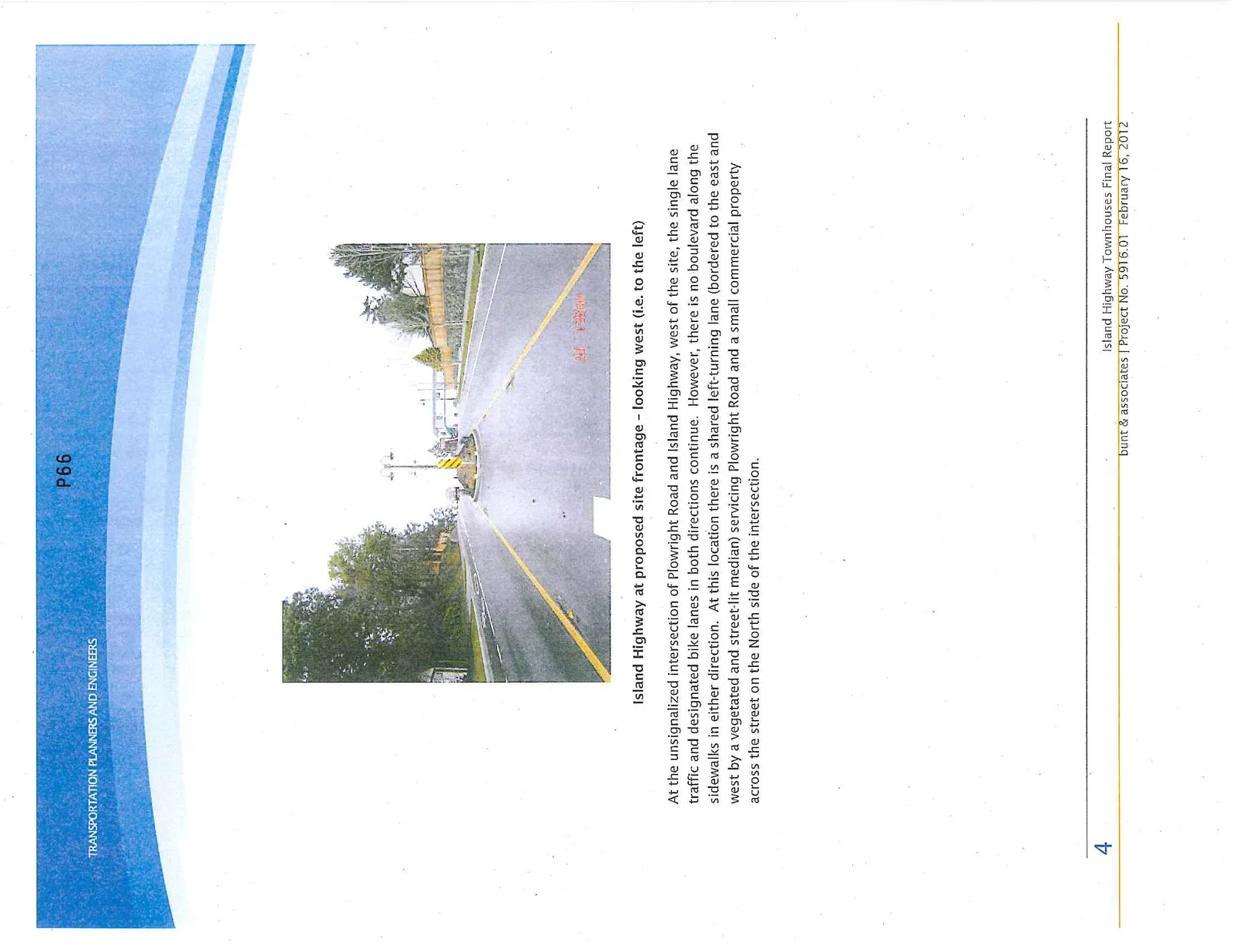
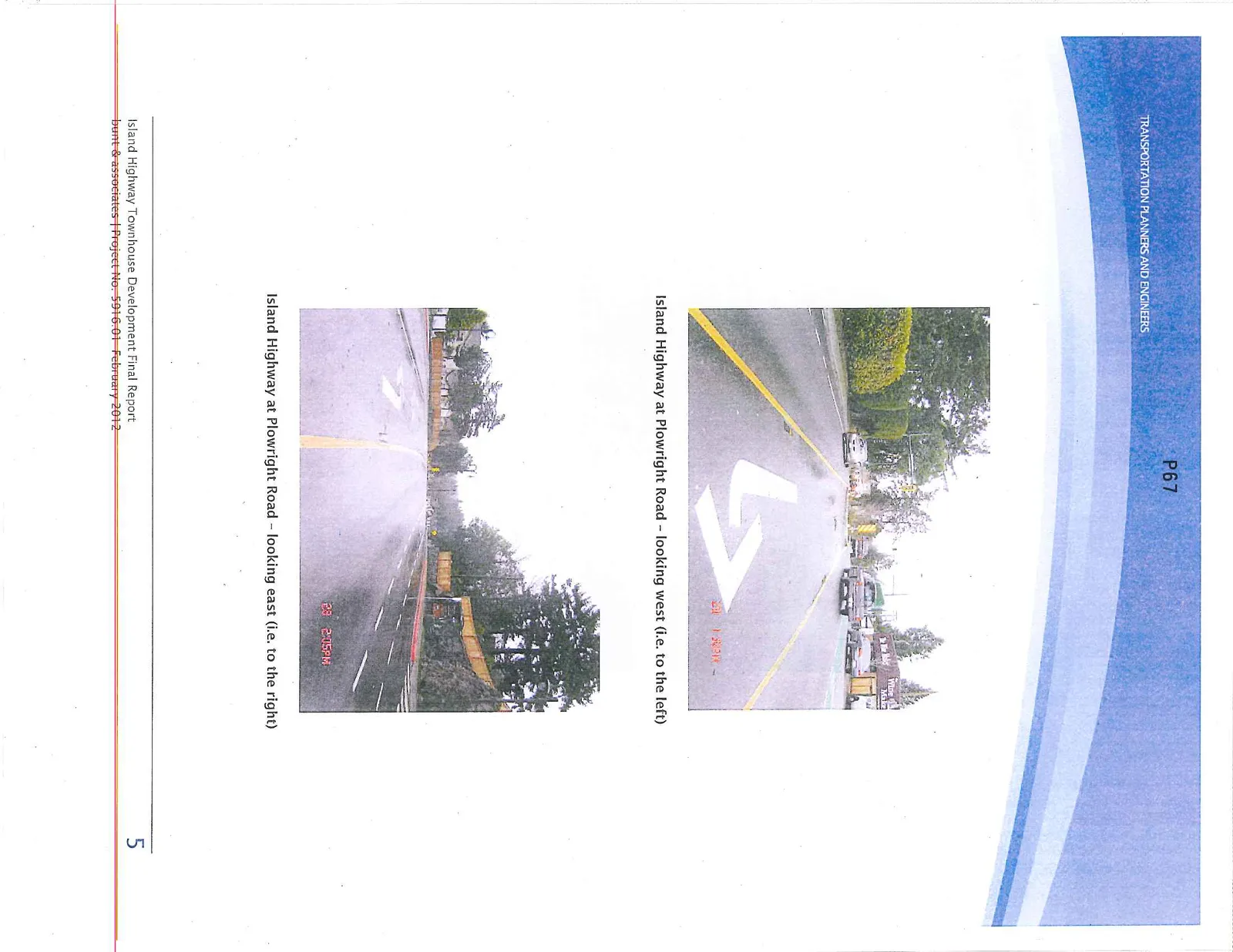
At the unsignalized intersection of Plowright Road and Island Highway, west of the site, the single lane traffic and designated bike lanes in both directions continue. However, there is no boulevard along the sidewalks in either direction. At this location there is a shared left-turning lane (bordered to the east and west by a vegetated and street-lit median) servicing Plowright Road and a small commercial property across the street on the North side of the intersection.
3.1.2 Plowright Road
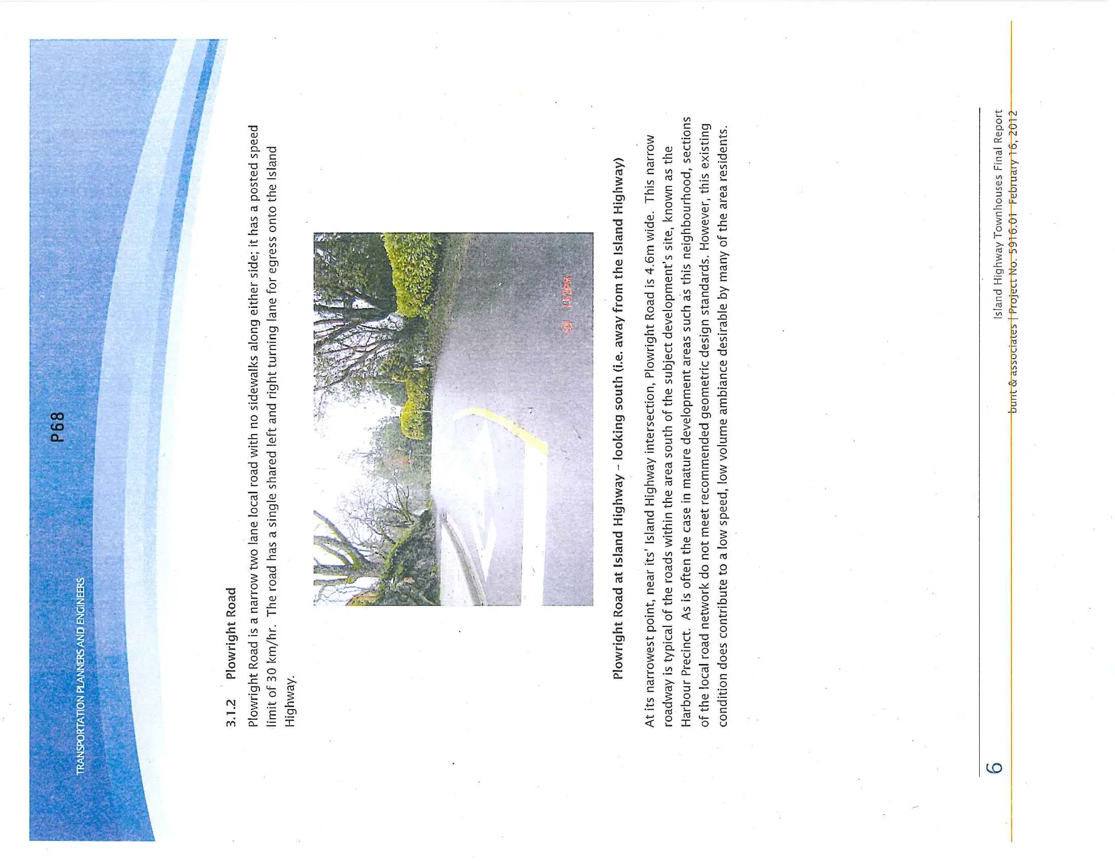
Plowright Road is a narrow two lane local road with no sidewalks along either side; it has a posted speed limit of 30 km/hr. The road has a single shared left and right turning lane for egress onto the Island Highway.
At its narrowest point, near its' Island Highway intersection, Plowright Road is 4.6m wide. This narrow roadway is typical of the roads within the area south of the subject development's site, known as the Harbour Precinct. As is often the case in mature development areas such as this neighbourhood, sections of the local road network do not meet recommended geometric design standards. However, this existing condition does contribute to a low speed, low volume ambiance desirable by many of the area residents.
Document Images
(7)