Appendix
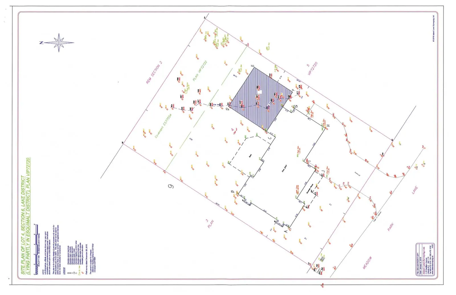
SITE PLAN OF LOT 4, SECTION 6, LAKE DISTRICT
December 6, 2016Page 261 section
Survey site plan for 107 Meadow Park Lane showing building footprint and covenant areas.
Surveyed by Island Land Surveying Ltd.Date: January 6, 2016Refers to Covenant E577554
SITE PLAN OF LOT 4, SECTION 6, LAKE DISTRICT (LYING PARTLY IN ESQUIMALT DISTRICT), PLAN VIP72720
NOTES
- Lot information, offsets, and areas shown may vary upon completion of a comprehensive legal survey. Elevations shown are based upon an ASSUMED datum.
- This plan is for building design & permit purposes only and is for the exclusive use of our client. This plan must not be used to define property lines or property corners. Underground intervals have not been included or considered.
LEGEND
- MH: Denotes sewer manhole
- LS: Denotes lamp standard
- HV: Denotes hydrant control valve
- IV: Denotes irrigation control valve
- O IP: Denotes Iron Pin (found) location, diameter & direction
- 32.55: Denotes ground elevation
SURVEY DETAILS
- Field survey date: December 28, 2015.
- Parcel Charges: The parcel is subject to charges: Covenant E577554.
- Scale: 1:150 (all distances are in metres).
FILE INFORMATION
- File: 554-A6-P-LOT 4-BP
- Date: January 8, 2016
- Surveyor: Island Land Surveying Ltd.
- 1-12 Cadillac Avenue, Victoria B.C. V8Z 1T8
- Tel: 250.475.1513 Fax: 250.475.1518
- www.islandsurveying.ca
Page 26
Extracted from: 2016 12 06 Council Agenda - Pdf