Appendix
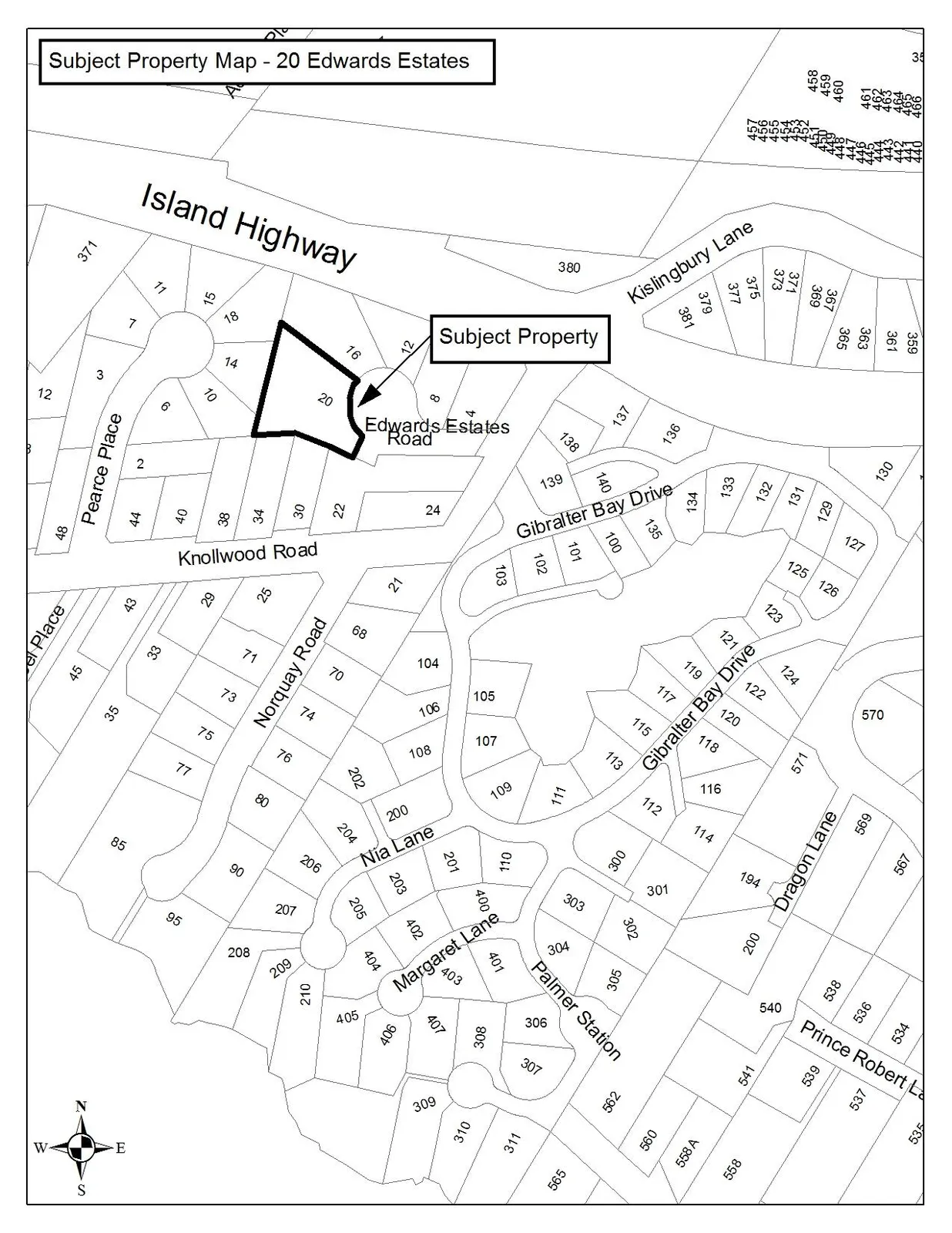
Subject Property Map - 20 Edwards Estates
December 13, 2016Page 61 section
A map indicating the location of the subject property at 20 Edwards Estates.
20 Edwards Estates
Subject Property Map - 20 Edwards Estates
Page 6
Extracted from: 2016 12 13 Special Council meeting - Agenda - Pdf