Appendix
Map 5: Municipal Boundary Adjustment -- Detail
December 13, 2016Page 731 section
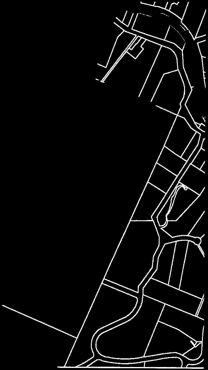
A detailed map showing the specific land parcels affected by the municipal boundary adjustment between Metchosin and Langford.
CAPITAL REGIONAL DISTRICT
Map 5: Municipal Boundary Adjustment -- Detail
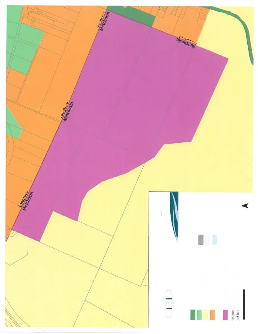
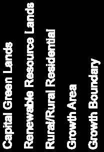
Policy Areas
- Capital Green Lands
- Renewable Resource Lands
- Rural/Rural Residential
- Growth Area
- Growth Boundary
Red line segment representing the Growth Boundary - Municipal Boundary Adjustment Area
Reference Features
- Cadastre
- First Nations Reserve
- Outside RGS
- Water
Features and boundaries are approximate and may not be consistent with actual property lines.
Scale 0, 0.25, 0.5 Kilometres
(North arrow)
Page 73
Document Images
(2)
Extracted from: 2016 12 13 Special Council meeting - Agenda - Pdf