Appendix
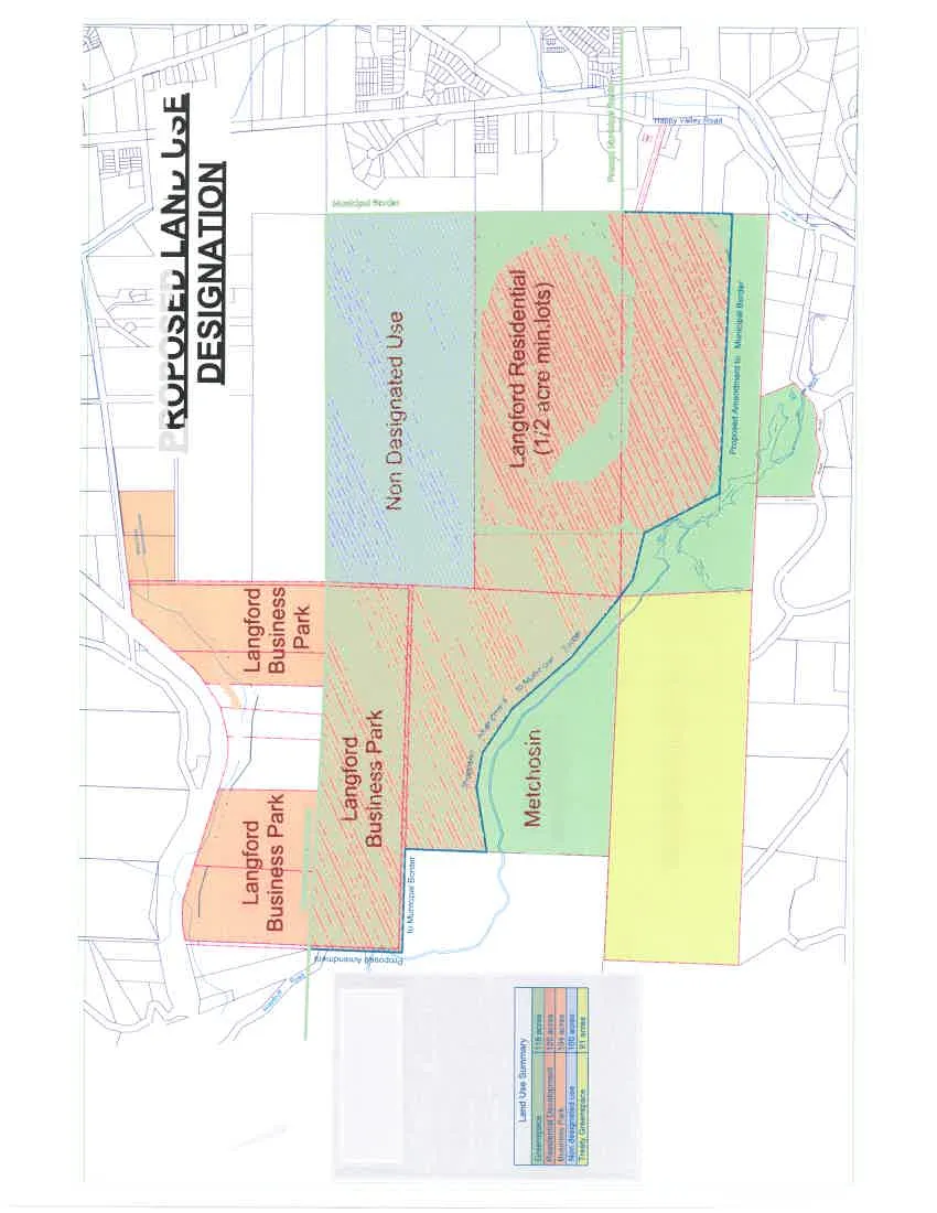
PROPOSED LAND USE DESIGNATION Map
December 13, 2016Page 741 section
A land use map designating areas for business park, residential, and green space in the proposed development.
Langford Residential (1/2 acre min. lots)Treaty Greenspace
PROPOSED LAND USE DESIGNATION
Scale 1:2500
Area Exclusion Note
- Area to be excluded from Metchosin and included in Langford 380 acres
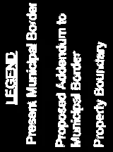
Legend
Land Use Summary
| Category | Area |
|---|---|
| Greenspace | 116 acres |
| Residential Development | 120 acres |
| Business Park | 104 acres |
| Non designated use | 100 acres |
| Treaty Greenspace | 31 acres |
Map Details and Labels
- Langford Business Park: Multiple parcels located on the left and center-left.
- Metchosin Greenspace: Central-bottom parcel.
- Treaty Greenspace: Bottom-right parcel.
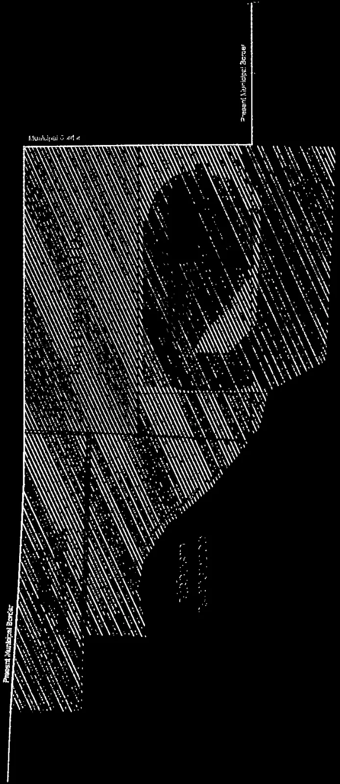
- Non Designated Use: Central-top parcel.
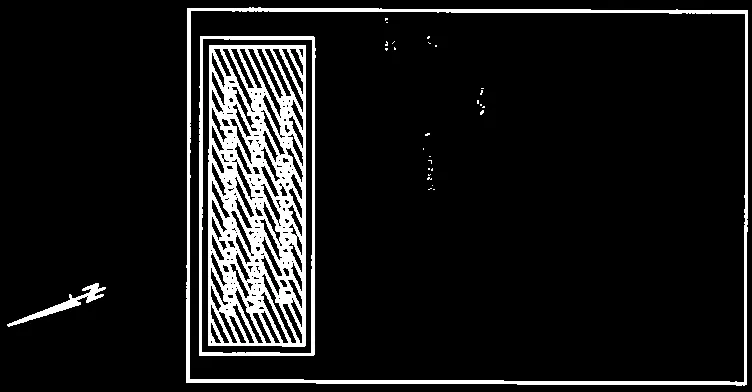
- Langford Residential (1/2 acre min. lots): Large hatched parcel on the right.
- Existing Residential to remain: Located at the top-left boundary.
- Happy Valley Road: Located at the bottom right.
- Proposed Amendment to Municipal Border: Indicated by the blue dashed line tracing around the central and right parcels.
Page 74
Document Images
(1)
Extracted from: 2016 12 13 Special Council meeting - Agenda - Pdf