This site is in beta — data may be incomplete and features are still being added.
Committee of the Whole/Documents/DVP 2014/02 Mapping and Orthophotos
Appendix

DVP 2014/02 Mapping and Orthophotos

March 11, 2014Pages 162–1632 sections

Geographic reference materials for the 281 Pallisier Ave application.

2. APPROVAL OF AGENDA

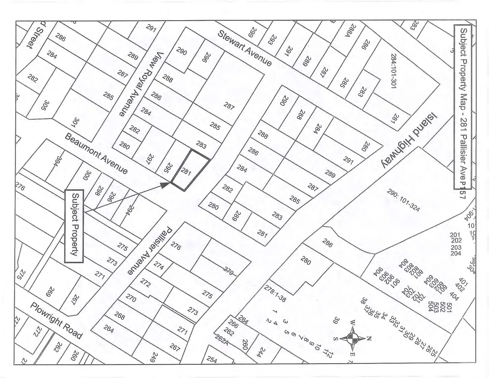
Subject Property Map - 281 Pallisier Ave

Cadastral map showing property boundaries and house numbers for the area surrounding 281 Pallisier Ave, including Island Highway, Stewart Avenue, View Royal Avenue, Beaumont Avenue, Pallisier Avenue, and Plowright Road.
Page 162–163

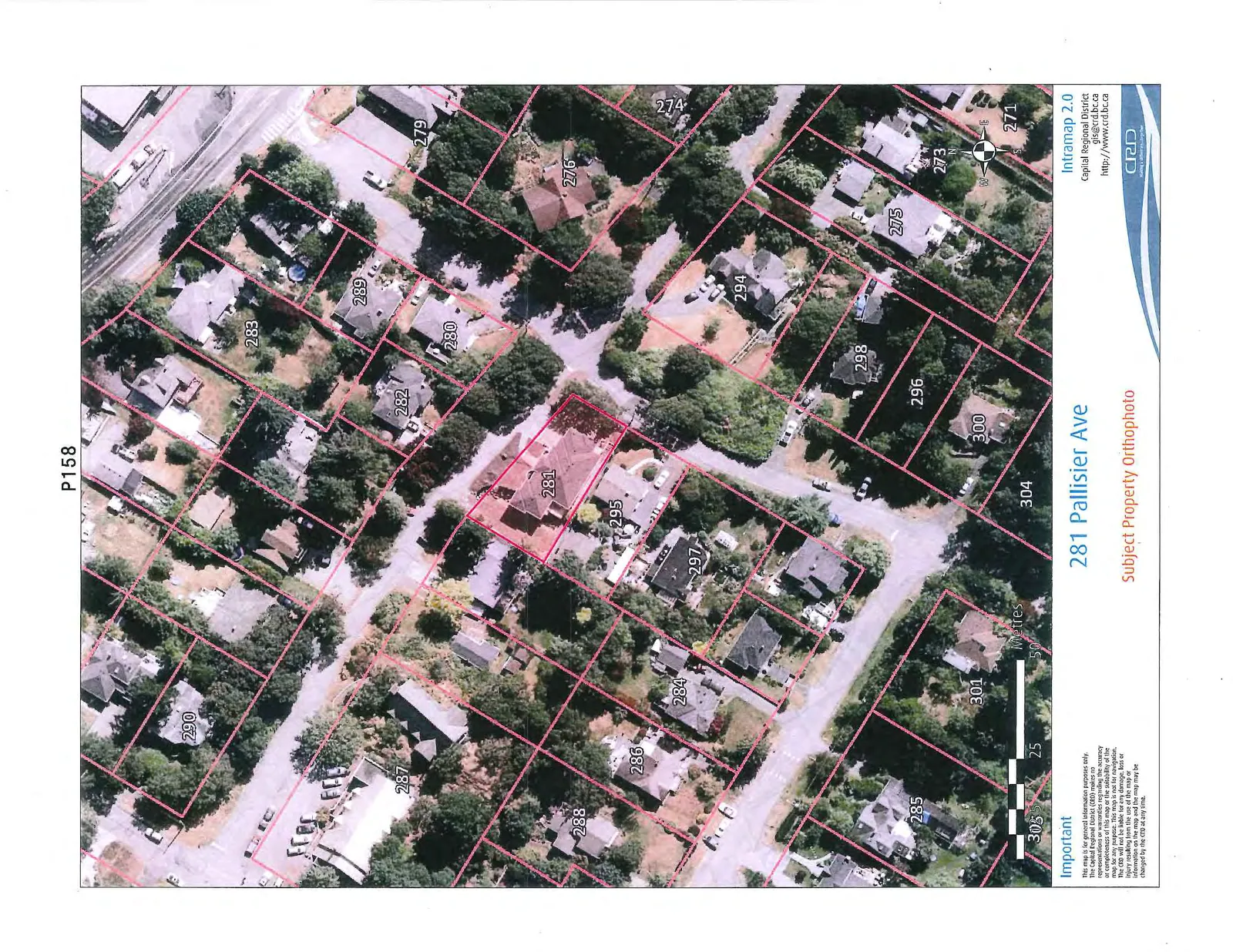
Subject Property Orthophoto - 281 Pallisier Ave

Aerial photograph with red property boundary overlays for 281 Pallisier Ave and surrounding lots, including a scale bar in metres and a compass rose.

Important

This map is for general information purposes only. The Capital Regional District (CRD) makes no representations or warranties regarding the accuracy or completeness of this map or the suitability of the map for any purpose. This map is not for navigation. The CRD will not be liable for any damage, loss or injury resulting from the use of the map or information on the map and the map may be changed by the CRD at any time.

Page 162–163
Extracted from: 2014 03 11 Committee of the Whole Agenda