This site is in beta — data may be incomplete and features are still being added.
Committee of the Whole/Documents/DVP 2013/05 Mapping and Aerial Photos
Appendix

DVP 2013/05 Mapping and Aerial Photos

March 11, 2014Pages 177–1781 section

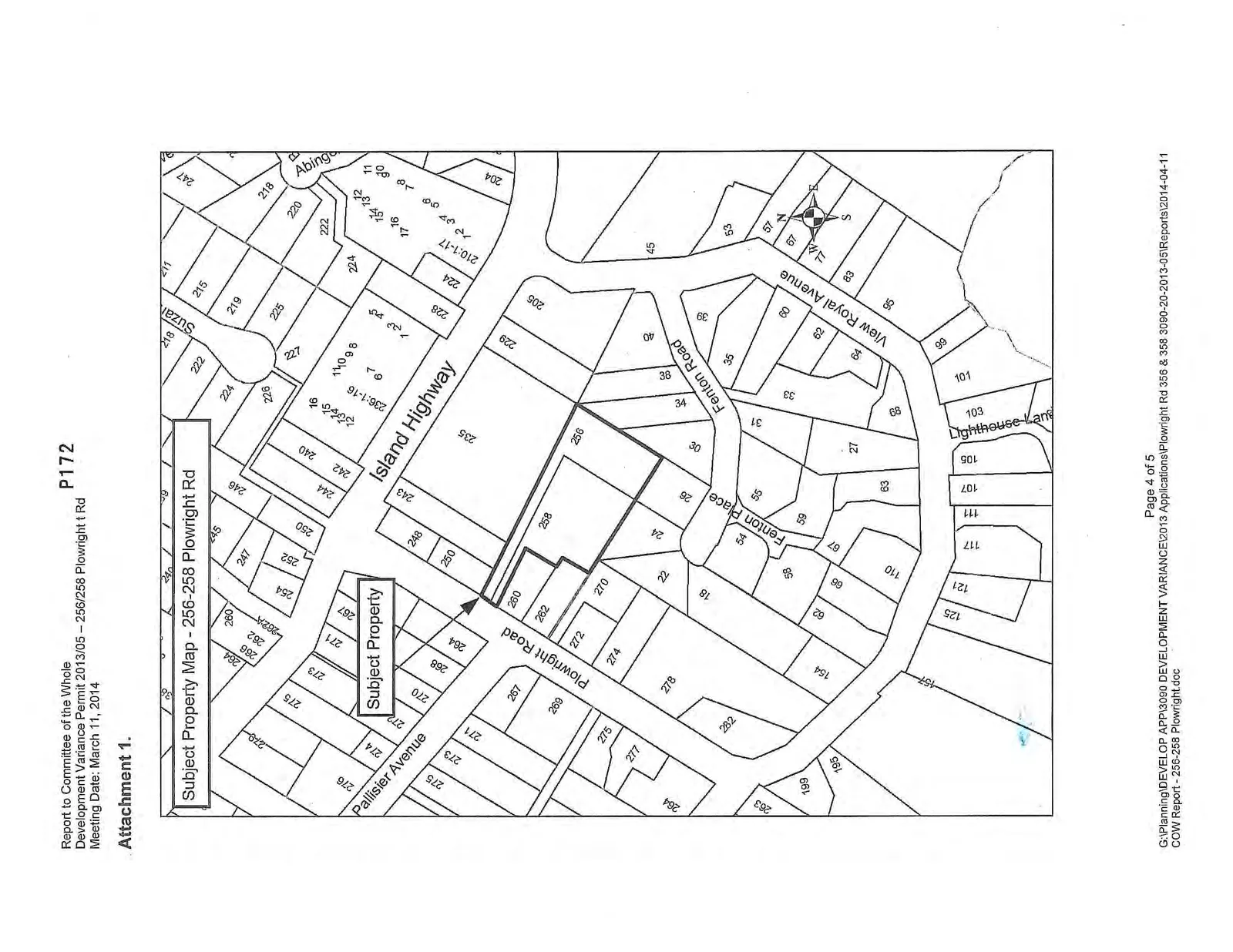
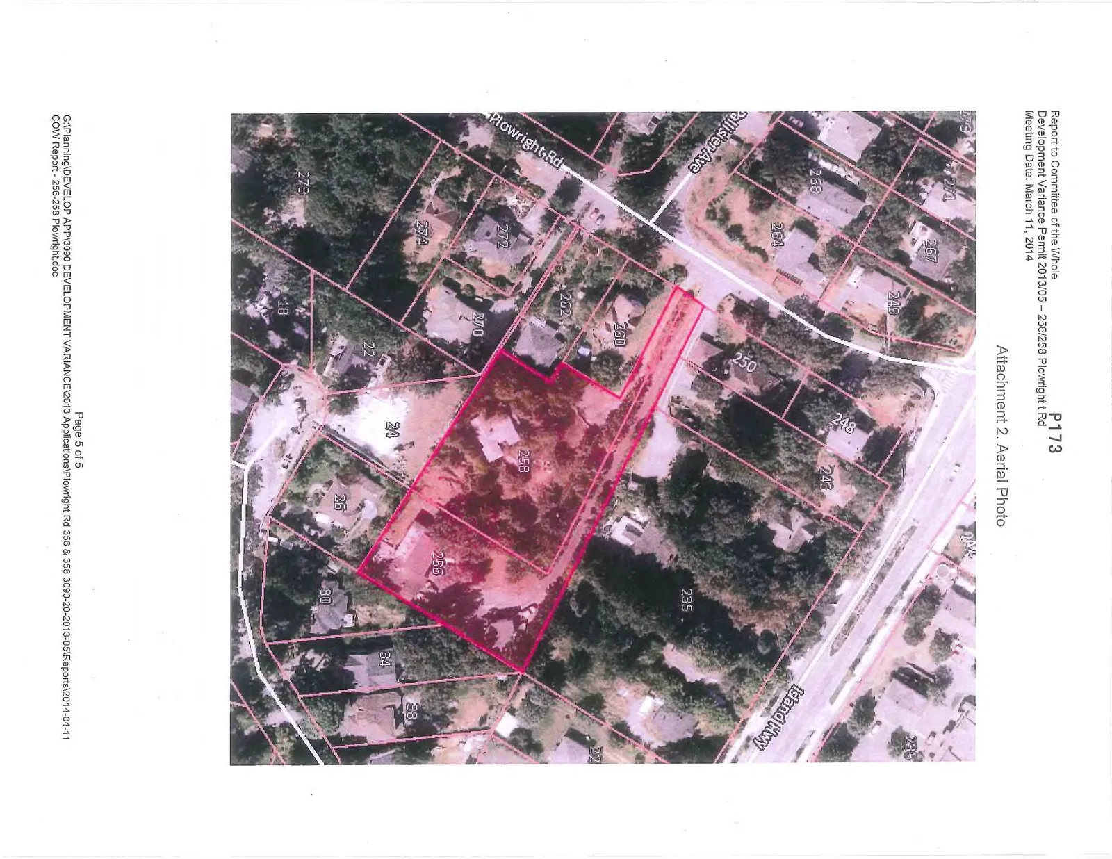
Property and aerial context maps for the Plowright Road subdivision.

2. APPROVAL OF AGENDA

Report to Committee of the Whole

Development Variance Permit 2013/05 – 256/258 Plowright t Rd

Meeting Date: March 11, 2014

Attachment 1.

Subject Property Map - 256-258 Plowright Rd showing property boundaries and lot numbers for the area including Island Highway, Plowright Road, Pallisier Avenue, and Fenton Road.

Attachment 2. Aerial Photo

Aerial photograph of the subject property at 256-258 Plowright Rd with property boundaries outlined in red.
Page 177–178
Extracted from: 2014 03 11 Committee of the Whole Agenda