Appendix
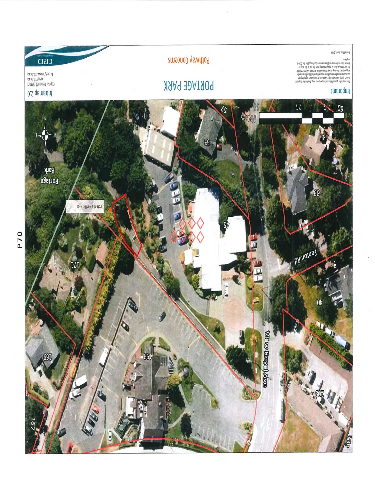
Portage Park Pathway Conflict Area Map
September 9, 2014Page 751 section
Aerial map of Portage Park identifying the potential conflict area between cyclists and pedestrians.
PORTAGE PARK
Pathway Concerns
Important This map is for general information purposes only. The Capital Regional District (CRD) makes no representations or warranties regarding the accuracy or completeness of the map or the suitability of the map for any purpose. This map is not for navigation. the CRD will not be liable for any damage or injury resulting from the use of the map or information on the map and the map may be changed by the CRD at any time.
Printed: Sep 8, 2014
Page 75
Extracted from: 2014 09 09 Committee of the Whole Agenda