Attachment 5: Proposed Energy Centre 1 Hospital Way Site Description / Plan
A site description plan identifying different ecological strata and forest conditions in the project area.
Site Description / Plan
Project: Proposed Energy Centre, 1 Hospital Way, Saanich and View Royal, BC Project No: 22-018 Date: September 2022 Scale: 1:1000 Drawn By: JG Sheet No: T - 1
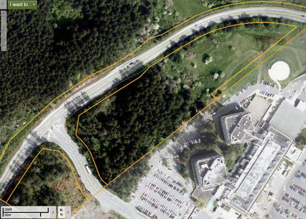
Local Context and Features
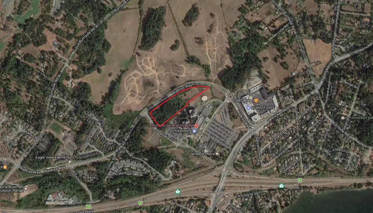
- Fig. 1: Context and ecological connectivity
- Fig. 2: Stratum #1 & #2 - View from the north (Watkiss Way)
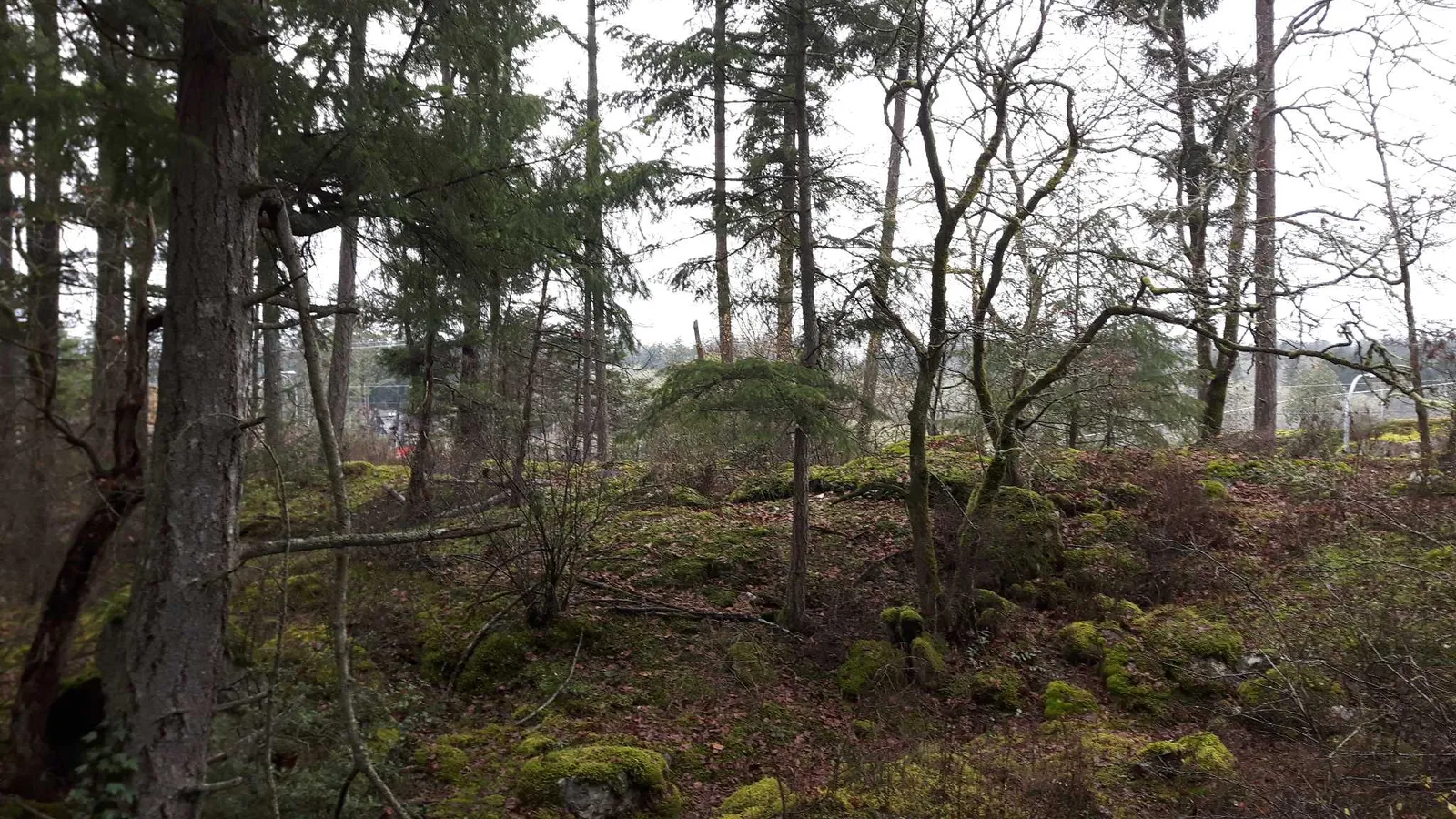
View of Stratum #1 and #2 from the north - Fig. 3: Stratum #1 - View from the south
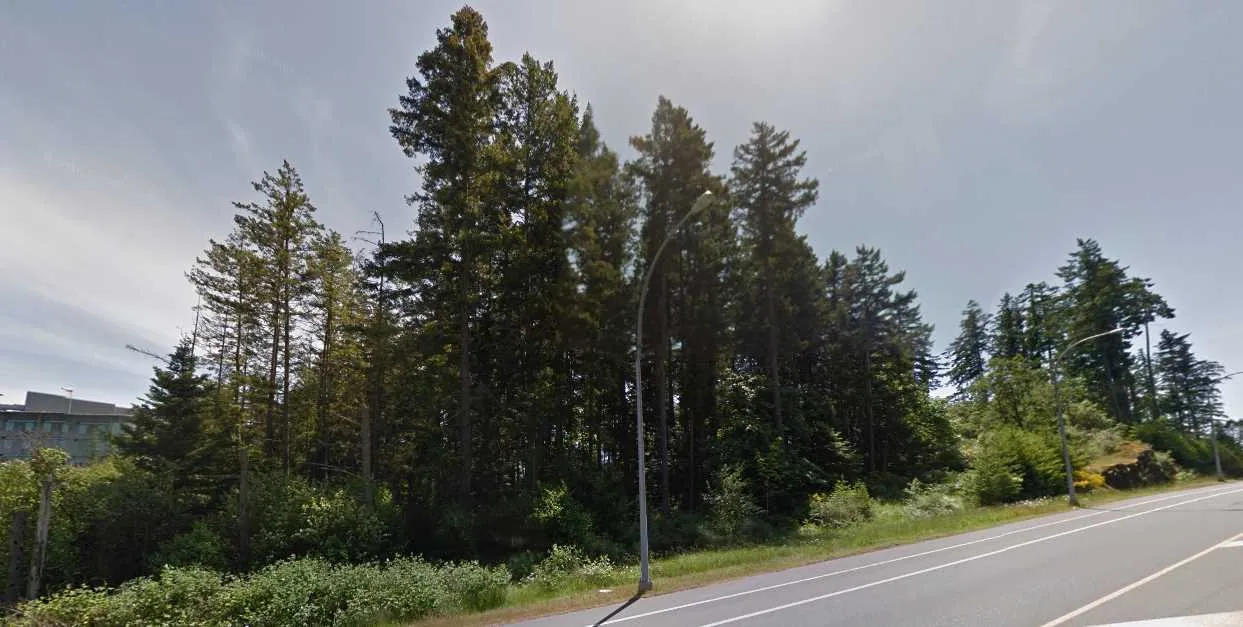
View of Stratum #1 from the south
Stratum Descriptions
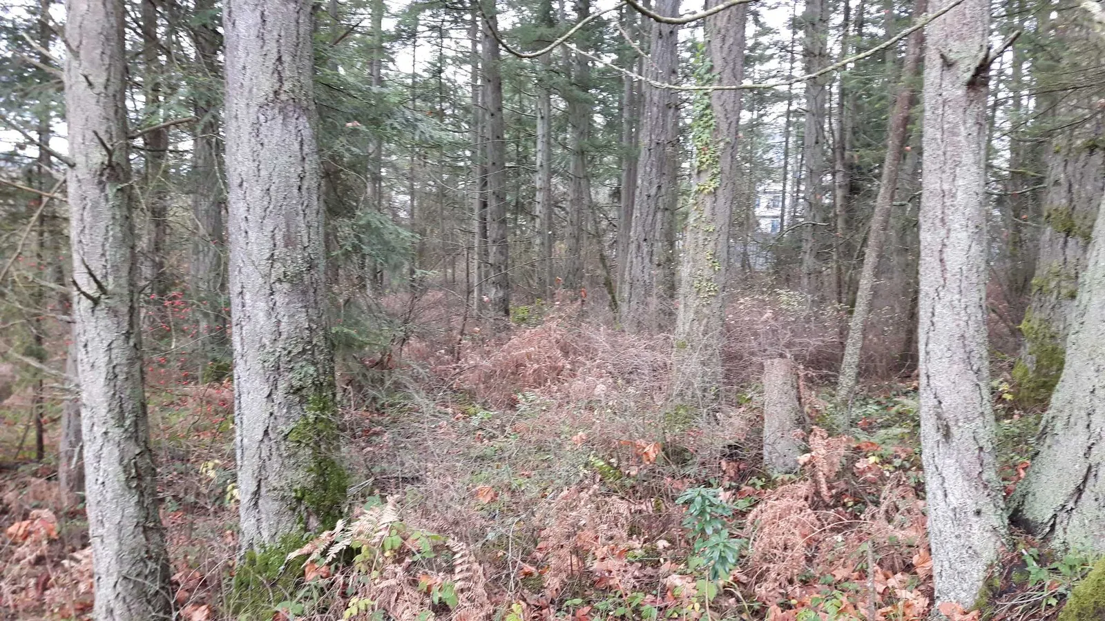
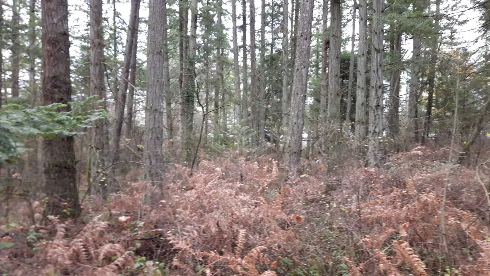
STRATUM #1
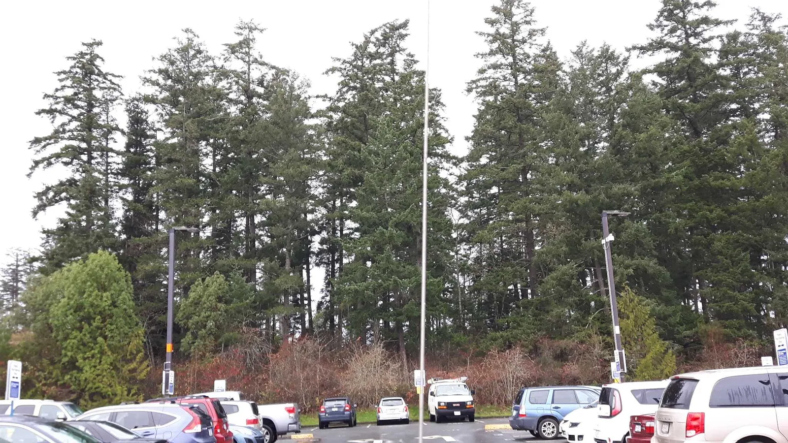
- Description: Second growth Mature Douglas fir
- Total area: 1.2 ha
STRATUM #2
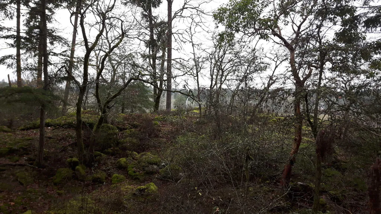
- Description: Garry oak
- Total area: 0.2 ha
STRATUM #3
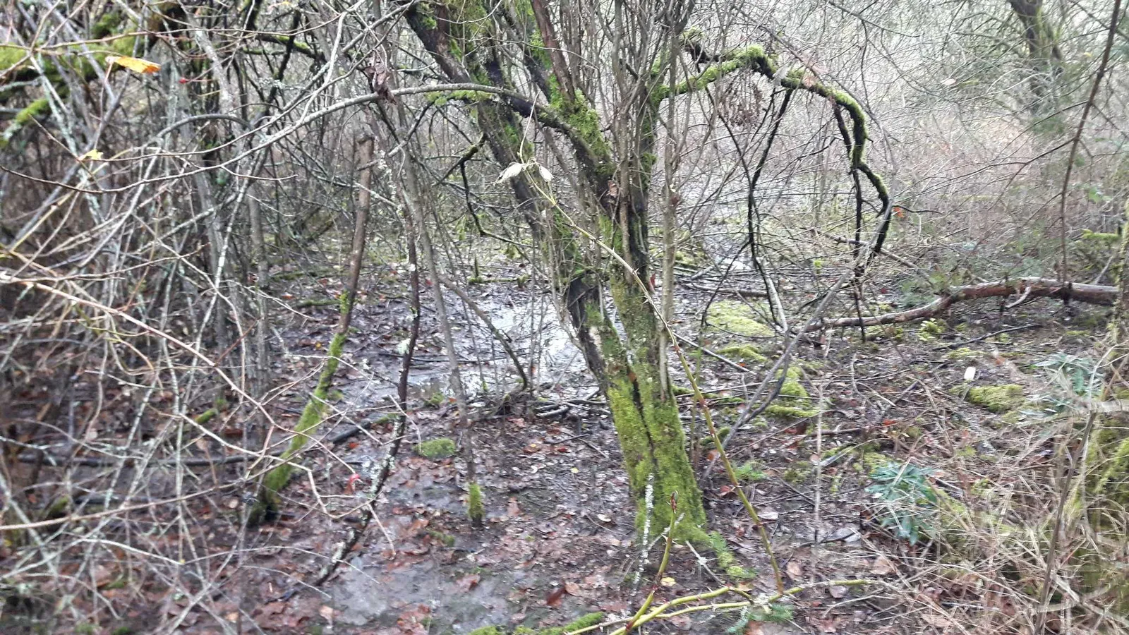
- General Description: Hawthorn and invasive species
- Total area: 0.6 ha This stratum consists of a relatively flat area with a dominant cover of invasive European hawthorn and a minor component of Douglas fir, Cottonwood and willow spp. The shrub layer consists mainly of Himilayan black-berry (Fig. 5 & 6).
Due to the recent, abundant rainfall, a small seasonal drainage was identified in this area flowing north into the ditchline (see map).
This vegetation type offers a good shelter for small mammals, birds and invertebrate species. No significant urban forest values were identified during the field data collection.
STRATUM #4
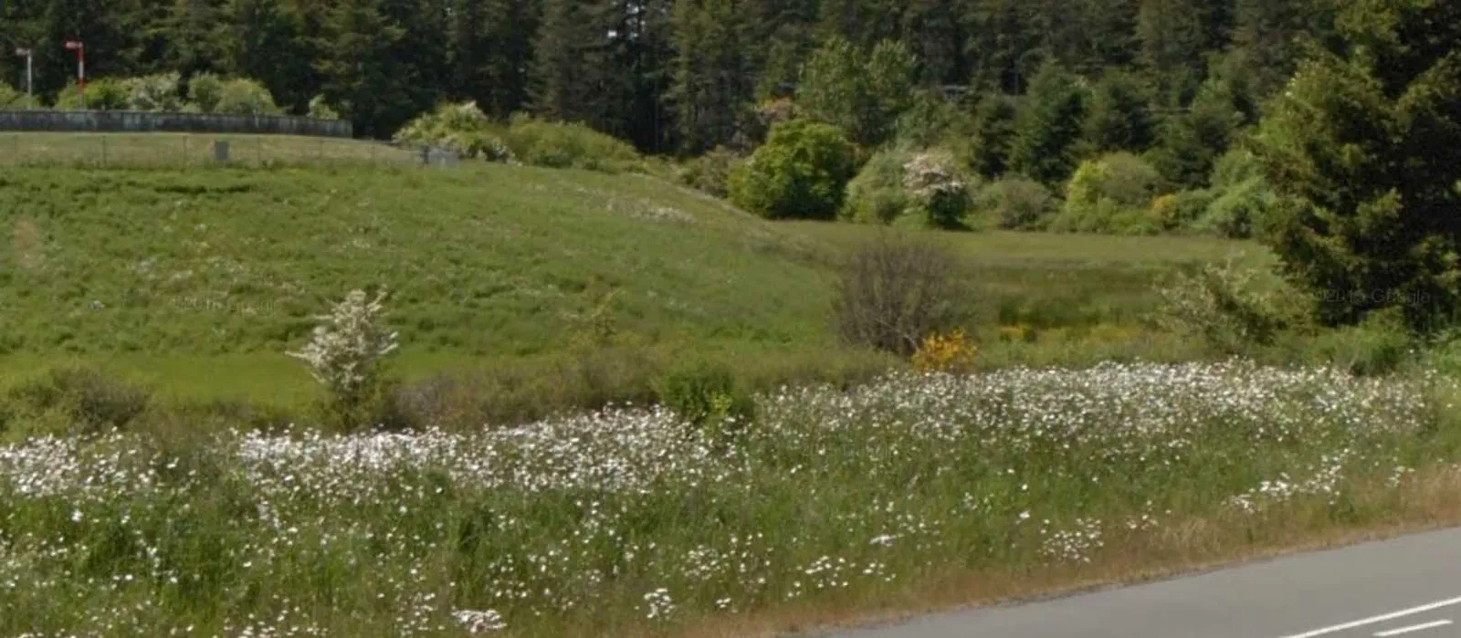
- General Description: Grass, open land
- Total area: 0.4 ha This stratum consists of a relative flat and open area occupied by grass vegetation with a very small amount of shrubs (Fig. 7).
Due to the recent, abundant rain fall, a small seasonal drainage was identified in this area flowing west into Stratum #3.
This area is mowed during the spring, summer fall seasons to maintain the site aesthetics. No significant urban forest values were identified during the field data collection.
Urban Forest Site Description
G&A project number: 16-118 Project address: Watkiss Road, Saanich, BC Assessment date: December 1, 2016 Size of Study Area: 2.4 ha
| ATTRIBUTES | STRATUM 1 (DOUGLAS FIR FOREST) | STRATUM 2 (GARRY OAK WOODLAND) |
|---|---|---|
| Terrain geography description | ||
| Total size (ha) | 1.2 | 0.2 |
| Slope location | mid slope, lower slope | crest |
| Elevation range (m) | 14 to 26 | 23 to 27 |
| Aspect | general north-east | general south |
| Slope % | 5 to 15 | 5 to 60 |
| Site Series | 01 (zonal), 04 | 02, 03 |
| Vegetation description | ||
| OVERSTORY (tree layer) | ||
| Dominant species | Douglas fir | Garry oak |
| Minor species | Grand fir, Bigleaf maple, Arbutus | Douglas fir, Arbutus, Bigleaf maple |
| Density (stems per hectare) | 700 | 350 |
| Average age (yrs) | 80 (est.) | 80 (est.) |
| Average Ht (m) | 30 | 18 |
| Average DBH (cm) | 40 | 24 |
| Identified damaging factors: | Laminated and Armillaria root rot, black stain root disease, brown trunk rot | Armillaria root rot |
| Other comments: | One veteran old growth Douglas fir identified | DBH > 20cm |
| UNDERSTORY (tree layer) | ||
| Dominant species | Douglas fir | Garry oak |
| Minor species | Grand fir, Bigleaf maple, Arbutus | Douglas fir, Arbutus, Bigleaf maple |
| Density (stems per hectare) | 400 | 200 |
| Average age (yrs) | 20 | 25 |
| Average Ht (m) | 8 | 10 |
| Average DBH (cm) | 7 | 8 |
| Identified damaging factors: | Deer "rub", Laminated and Armillaria root rot | Armillaria root rot |
| SHRUB LAYER | ||
| Dominant species | Salal, Dull Oregon grape, Indian plum, ocean spray | Salal, Dull Oregon grape |
| Minor species | Snowberry, baldhip rose | Indian plum, ocean spray |
| Invasive species | Daphne, holly, black berry, Scotch broom, ivy | Daphne, holly, black berry, Scotch broom, ivy |
| Other comments | No species-at-risk identified at time of survey. | No species-at-risk identified at time of survey. |
| HERB LAYER | ||
| Dominant species | Sword firn, vanilla leaf, grass sp. | Sword and bracken firn |
| Minor species | Bracken firn | Grass sp., moss layer on rock |
| Invasive species | English ivy, some agronomic grasses. | Some agronomic grasses. Detailed survey not included in scope of assignment. |
| Other comments | See biologist report for species at risk specifications | Native herbs, geophytes and annuals endemic to this type of Garry Oak ecosystem may emerge for identification through growing season. A survey for these plants was not undertaken. |
| Aquatic features | None identified | None identified |
| Landscape Ecology | See Terrestrial biologist's report. | See Terrestrial biologist's report. |
| Sensitive ecosystems | None identified | None identified |
| Edge condition | Cleared forest-edge bounded by forest-grown conifers; Scarcity of mature shrub or meadow edge condition. | Stratum 2 provides the only section of mature edge condition to be found on the exterior of the coniferous forest stand. |
| Fauna | Deer, pileated woodpecker, yellow-bellied sapsucker, hairy woodpecker, insects. See biologist report for more detailed wildlife list. | Deer, pileated woodpecker, yellow-bellied sapsucker, hairy woodpecker. Good habitat for a range of insects and terrestrial invertebrates. |
| Broader Urban Forest Connections | A small contiguous forest stand is located on the south side of Stratum 1 on an adjacent parcel. Additional isolated forest stands are located to the west and north-east (100-300m distant) separated across paved roads. Recently cleared forested ALR lands are located to the north; Residential, roads and HWY network located west, south and east of the subject area. |
Urban Forest Values
| CATEGORY | STRATUM 1 & 2 VALUES |
|---|---|
| Ecological Values | |
| Biodiversity | Modest levels of biodiversity typical for a partially forested site within a peri-urban environment. Relatively even distribution of plant species across each stratum. |
| Ecosystem services for wildlife: (food, water, shelter, habitat) | Low to moderate levels of resources, ranging higher in Stratums 1 & 2 and lowest in Stratum 4. Forest edges provide shelterbelt for birdlife (perching, feeding). Older trees with conk provide feeding and habitat opportunities for primary and secondary cavity nesting birds and mammals. Seasonal woodland shrub and wildflowers provide pollen for pollinators. |
| Ecosystem connectivity | Somewhat disconnected from adjoining vegetated landscapes. Relevant factors include the following: Existing paved roads network on two sides; pedestrian and vehicle traffic; 24 hour ambient light and noise level along roads and within parking areas; displacement of forested environments by VGH and logging on agricultural lands across Watkiss Way. 4km from Thetis Lake Regional Park (the largest natural area in the region). See biologist report for more detailed information. |
| Unique values | No unique values, no species at risk were identified. See the biologist report for detailed related info. |
| Archeological / Cultural Values | |
| Historical/Cultural Sites | None identified |
| Culturally Modified Trees | None identified |
| Historical/Cultural Artifacts | None identified |
| Green Infrastructure Values | |
| Wind-break | Stand provides some shelter from north winds for hospital; but marginal shelter for proposed land-use and this will be off-set by moderate risk of tree windfall. |
| Shading/cooling | Marginal. |
| Stormwater management | Yes |
| Soil biology conservation/development | Yes |
| Timber Values | Estimated merchantable volume: 300m3/ha (Douglas fir) |
| Domestic saw, chip-n-saw and pulp logs | Saw logs: 35cm+ DBH (20%) Chip-n-saw logs: 25 - 35cm DBH (50%) Pulpwood logs: 15 - 24cm DBH (30%) |
| Non-Timber Forest Products | |
| Forest-based foods | Very limited quantities of wild berries, seeds and mushrooms. |
| Ornamental products from the forest | Unsustainably small quantities of poor quality Salal and Oregon grape harvest for floral arrangements. |
| Top soil | If conserved in situ within future greenspace, existing forest soils are a valuable resource for growing future urban forest; or, if hoarded and screened, top soils can be reused for site landscaping. |
| Aesthetic Values | |
| Views of nature from hospital rooms and grounds | Views of trees and nature have proven health benefits to recovering patients. |
| Screening from Watkiss Way | N/A |
| Recreational / Health Values | |
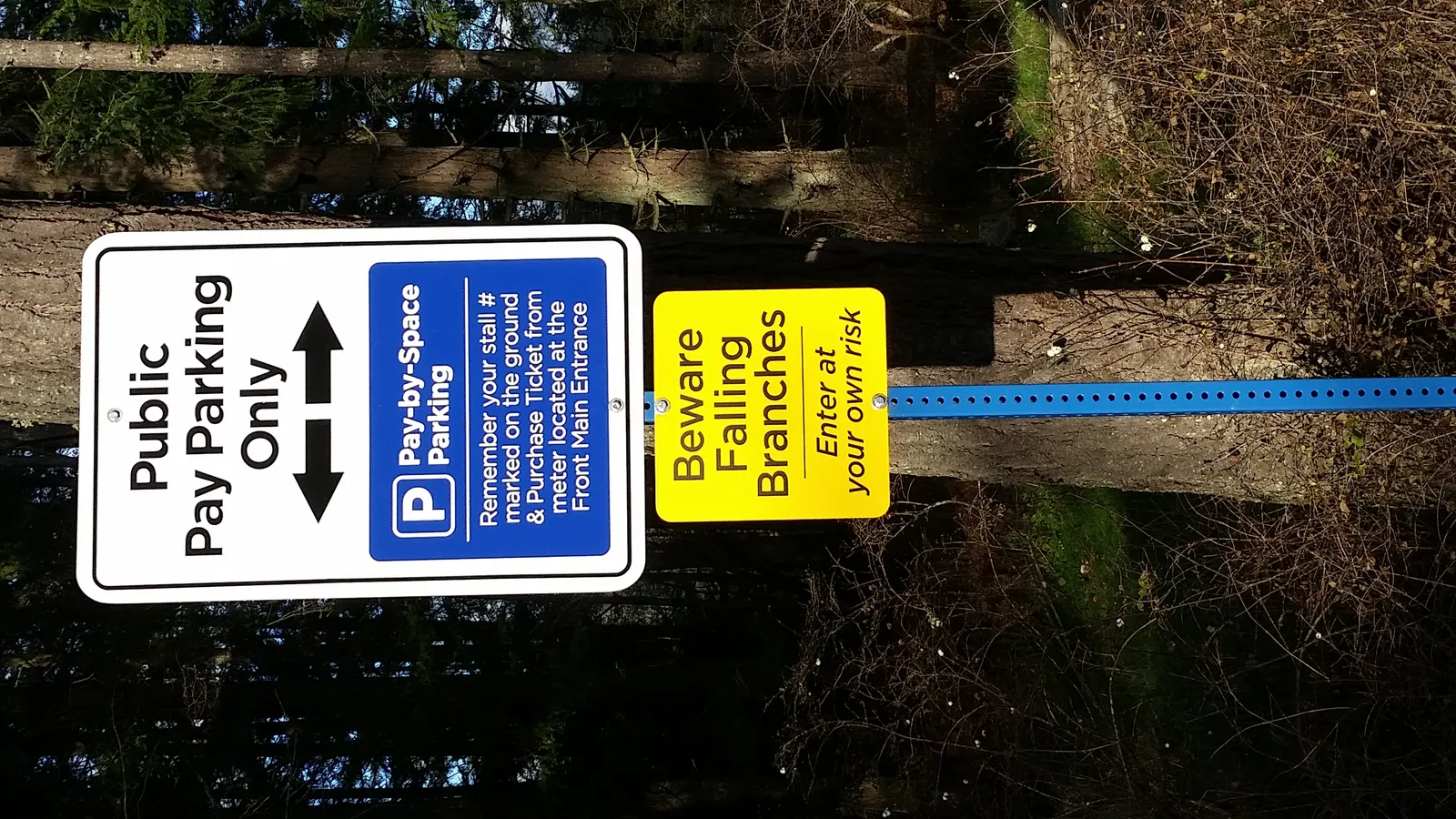
| Walking/hiking | The value of the stand for recreational use is diminished by its current unmanaged state and the presence of potential hazards, such as trip & fall, dead & suspended broken limbs, windfall and some unstable trees. |
| Rest and recreation | A small corner of Strata one is used by some hospital workers or patients as an informal rest/smoking area. |
| Risk Factors | |
| Vulnerable targets present? | Targets within striking distance of forest trees include vehicular and pedestrian traffic within parking areas, internal roads and Watkiss Way. |
| Risk factors | Cleared forest-edges expose tall, slender trees with small, elevated canopies to wind forces they are not adapted to. Stratas 1 and 2 contain dead snags and some trees with advanced butt rot and other types of fungal decay. |
| Probability of failure + impact occurring | Somewhat likely |
| Other Factors | |
| Proposed land-use suitability | Stratums 3 and 4 appear most suitable for development. Stratum 2 has good retention value and will complement the intended land-use if protected and left undisturbed. Some restoration activity may be required. Due to the ongoing risk of windfall hazard, Stratum 1 is not considered suitable for preservation if development is anticipated within or adjacent to it. |
| Climate change resilience | Moderate |