This site is in beta — data may be incomplete and features are still being added.
Committee of the Whole/Documents/Subject Property Map and Orthophoto - 315 Stewart Ave
Appendix

Subject Property Map and Orthophoto - 315 Stewart Ave

March 10, 2015Pages 102–1032 sections

Cadastral map and aerial photograph of the 315 Stewart Ave property.

2 APPROVAL OF AGENDA
Adjacent to Lime Kiln Cove

Subject Property Map - 315 Stewart Ave
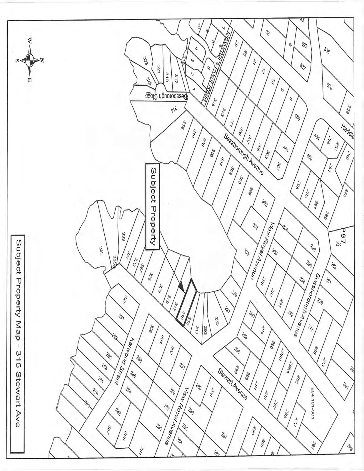
Cadastral map showing property boundaries, lot numbers, and street names including Bessborough Avenue, View Royal Avenue, Stewart Avenue, Governor's Point Road, Bessborough Close, and Kerwood Street. An arrow points to lot 315 on Stewart Ave as the Subject Property.
Page 102–103

315 Stewart Ave - Subject Property Orthophoto
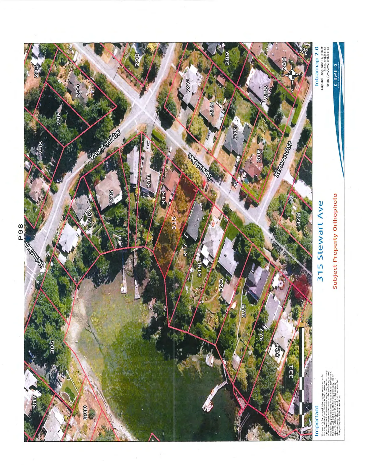
Aerial orthophoto showing the subject property at 315 Stewart Ave with overlaid property boundaries, buildings, and surrounding streets including View Royal Ave, Stewart Ave, Kenwood St, and Helmcken.
Page 102–103
Extracted from: 2015 03 10 Committee of the Whole Agenda