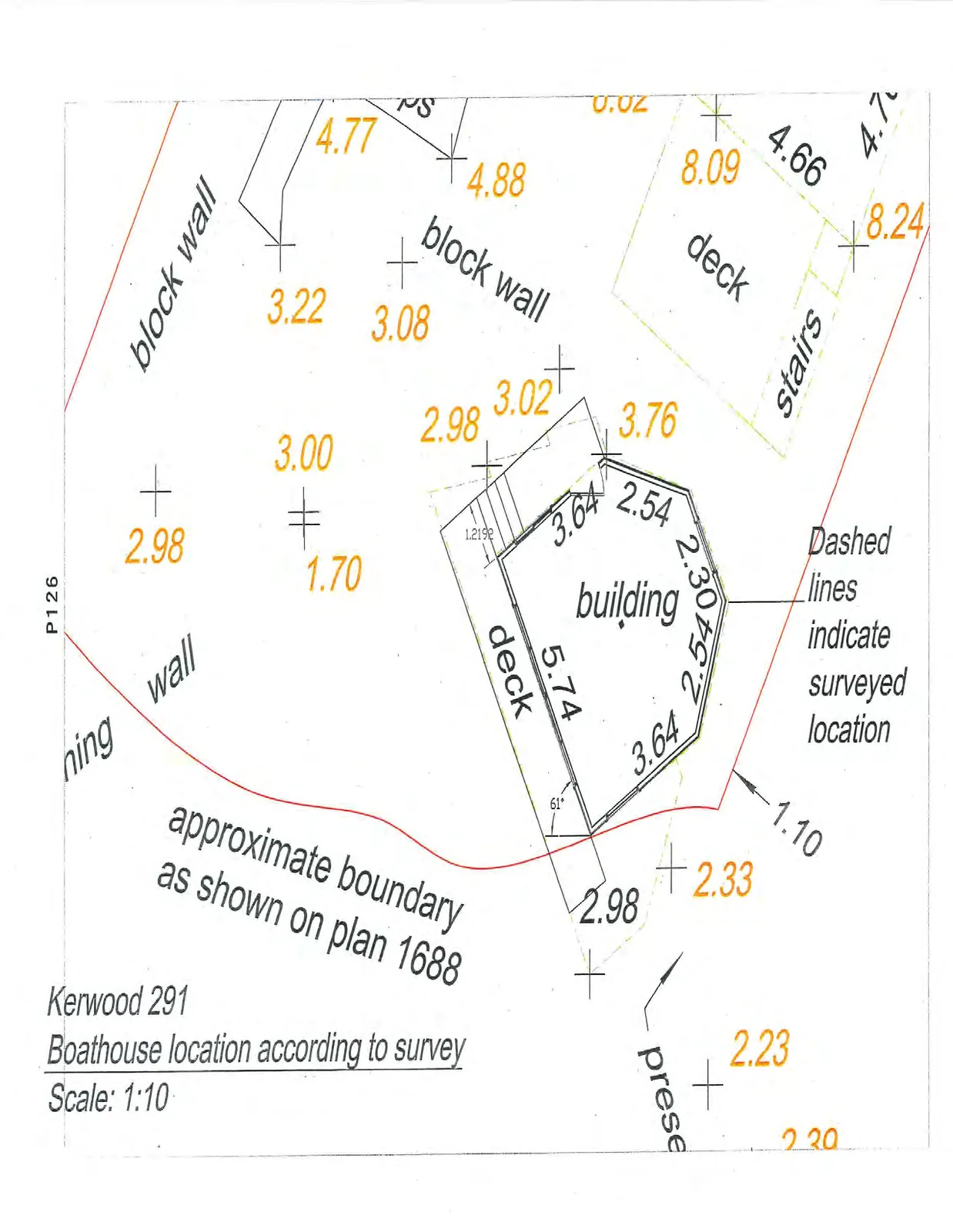
Appendix: 291 Kerwood Street - Land Surveyor's Site Plan
Professional survey plans detailing the boathouse's position relative to the high water mark and property lines.
B.C. Land Surveyor's Site Plan of Lot 7, Plan 1688, Block 12, Section 8, Esquimalt District.
Scale 1:250
All distances are in metres. Lot dimensions derived from registered plans and not verified by this survey. Elevations are derived from View Royal Monument 06-11
CIVIC ADDRESS: 291 Kenwood Road, Victoria, BC P.I.D. 007-104-154
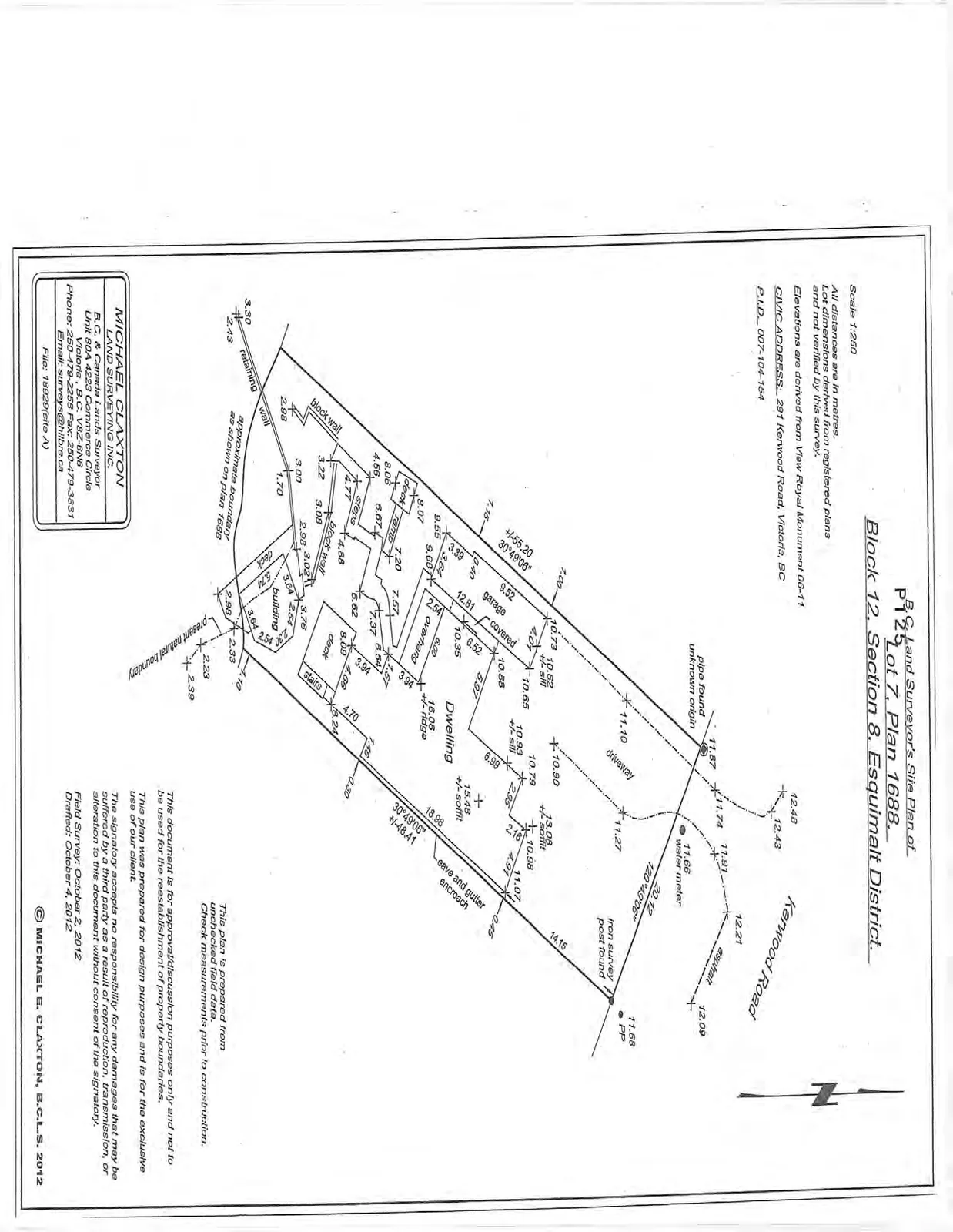
This plan is prepared from unchecked field data. Check measurements prior to construction.
This document is for approval/discussion purposes only and not to be used for the reestablishment of property boundaries.
This plan was prepared for design purposes and is for the exclusive use of our client.
The signatory accepts no responsibility for any damages that may be suffered by a third party as a result of reproduction, transmission, or alteration to this document without consent of the signatory.
Field Survey: October 2, 2012 Drafted: October 4, 2012
Kerwood 291 Boathouse location according to survey
Scale: 1:10
Dashed lines indicate surveyed location