Staff Report: Mixed Residential Form and Character Development Permit 2014/10 – 2429 Chilco Road Lot 20
Analysis of a permit application for a 16-unit residential development (Thetis Vale Phase 6), including a variance request for retaining wall height.
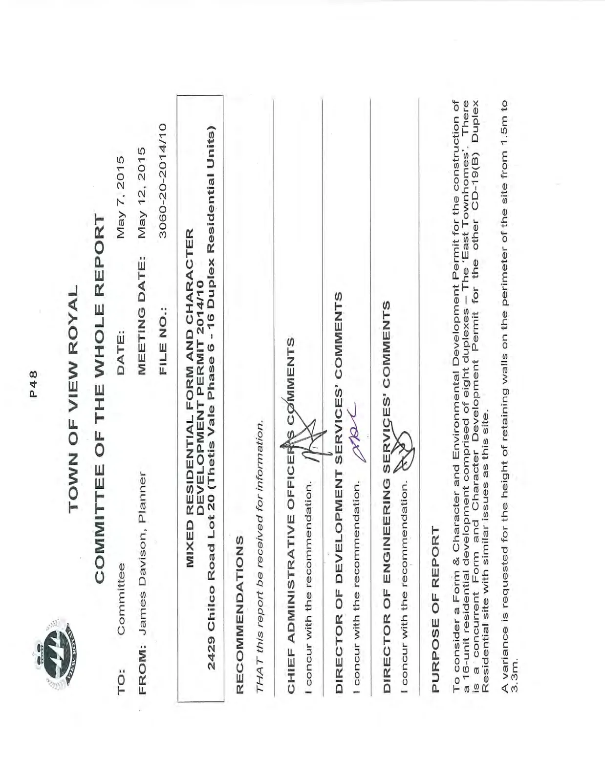
TOWN OF VIEW ROYAL COMMITTEE OF THE WHOLE REPORT
TO: Committee DATE: May 7, 2015 FROM: James Davison, Planner MEETING DATE: May 12, 2015 FILE NO.: 3060-20-2014/10
MIXED RESIDENTIAL FORM AND CHARACTER DEVELOPMENT PERMIT 2014/10
2429 Chilco Road Lot 20 (Thetis Vale Phase 6 - 16 Duplex Residential Units)
RECOMMENDATIONS
THAT this report be received for information.
CHIEF ADMINISTRATIVE OFFICER'S COMMENTS
I concur with the recommendation.
DIRECTOR OF DEVELOPMENT SERVICES' COMMENTS
I concur with the recommendation.
DIRECTOR OF ENGINEERING SERVICES' COMMENTS
I concur with the recommendation.
PURPOSE OF REPORT
To consider a Form & Character and Environmental Development Permit for the construction of a 16-unit residential development comprised of eight duplexes – The ‘East Townhomes’. There is a concurrent Form and Character Development Permit for the other CD-19(B) Duplex Residential site with similar issues as this site.
A variance is requested for the height of retaining walls on the perimeter of the site from 1.5m to 3.3m.
BACKGROUND
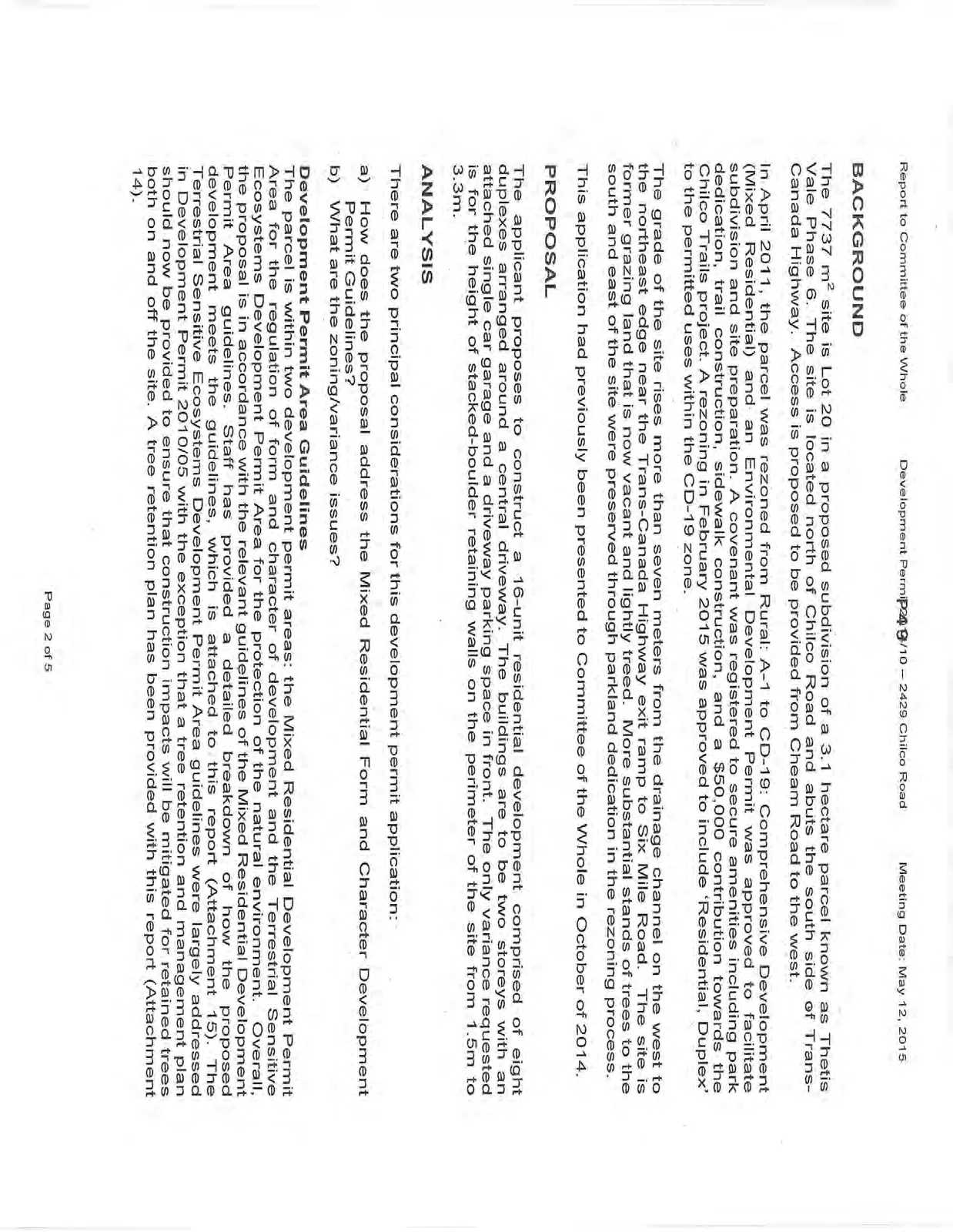
The 7737 m² site is Lot 20 in a proposed subdivision of a 3.1 hectare parcel known as Thetis Vale Phase 6. The site is located north of Chilco Road and abuts the south side of Trans-Canada Highway. Access is proposed to be provided from Cheam Road to the west.
In April 2011, the parcel was rezoned from Rural: A-1 to CD-19: Comprehensive Development (Mixed Residential) and an Environmental Development Permit was approved to facilitate subdivision and site preparation. A covenant was registered to secure amenities including park dedication, trail construction, sidewalk construction, and a $50,000 contribution towards the Chilco Trails project. A rezoning in February 2015 was approved to include ‘Residential, Duplex’ to the permitted uses within the CD-19 zone.
The grade of the site rises more than seven meters from the drainage channel on the west to the northeast edge near the Trans-Canada Highway exit ramp to Six Mile Road. The site is former grazing land that is now vacant and lightly treed. More substantial stands of trees to the south and east of the site were preserved through parkland dedication in the rezoning process.
This application had previously been presented to Committee of the Whole in October of 2014.
PROPOSAL
The applicant proposes to construct a 16-unit residential development comprised of eight duplexes arranged around a central driveway. The buildings are to be two storeys with an attached single car garage and a driveway parking space in front. The only variance requested is for the height of stacked-boulder retaining walls on the perimeter of the site from 1.5m to 3.3m.
ANALYSIS
There are two principal considerations for this development permit application:
a) How does the proposal address the Mixed Residential Form and Character Development Permit Guidelines? b) What are the zoning/variance issues?
Development Permit Area Guidelines
The parcel is within two development permit areas: the Mixed Residential Development Permit Area for the regulation of form and character of development and the Terrestrial Sensitive Ecosystems Development Permit Area for the protection of the natural environment. Overall, the proposal is in accordance with the relevant guidelines of the Mixed Residential Development Permit Area guidelines. Staff has provided a detailed breakdown of how the proposed development meets the guidelines, which is attached to this report (Attachment 15). The Terrestrial Sensitive Ecosystems Development Permit Area guidelines were largely addressed in Development Permit 2010/05 with the exception that a tree retention and management plan should now be provided to ensure that construction impacts will be mitigated for retained trees both on and off the site. A tree retention plan has been provided with this report (Attachment 14).
Mixed Residential Development Permit Area Guidelines
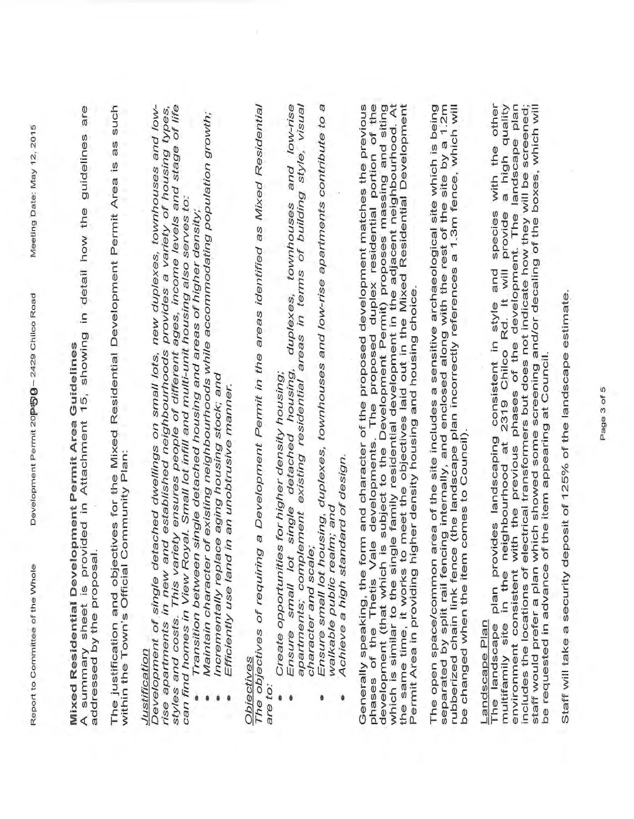
A summary sheet is provided in Attachment 15, showing in detail how the guidelines are addressed by the proposal.
The justification and objectives for the Mixed Residential Development Permit Area is as such within the Town's Official Community Plan:
Justification Development of single detached dwellings on small lots, new duplexes, townhouses and low-rise apartments in new and established neighbourhoods provides a variety of housing types, styles and costs. This variety ensures people of different ages, income levels and stage of life can find homes in View Royal. Small lot infill and multi-unit housing also serves to:
- Transition between single detached housing and areas of higher density;
- Maintain character of existing neighbourhoods while accommodating population growth;
- Incrementally replace aging housing stock; and
- Efficiently use land in an unobtrusive manner.
Objectives The objectives of requiring a Development Permit in the areas identified as Mixed Residential are to:
- Create opportunities for higher density housing;
- Ensure small lot single detached housing, duplexes, townhouses and low-rise apartments; complement existing residential areas in terms of building style, visual character and scale;
- Ensure small lot housing, duplexes, townhouses and low-rise apartments contribute to a walkable public realm; and
- Achieve a high standard of design.
Generally speaking, the form and character of the proposed development matches the previous phases of the Thetis Vale developments. The proposed duplex residential portion of the development (that which is subject to the Development Permit) proposes massing and siting which is similar to the single family residential development in the adjacent neighbourhood. At the same time, it works to meet the objectives laid out in the Mixed Residential Development Permit Area in providing higher density housing and housing choice.
The open space/common area of the site includes a sensitive archaeological site which is being separated by split rail fencing internally, and enclosed along with the rest of the site by a 1.2m rubberized chain link fence (the landscape plan incorrectly references a 1.3m fence, which will be changed when the item comes to Council).
Landscape Plan
The landscape plan provides landscaping consistent in style and species with the other multifamily site in the neighbourhood at 2319 Chilco Rd. It will provide a high quality environment consistent with the previous phases of the development. The landscape plan includes the locations of electrical transformers but does not indicate how they will be screened; staff would prefer a plan which showed some screening and/or decaling of the boxes, which will be requested in advance of the item appearing at Council.
Staff will take a security deposit of 125% of the landscape estimate.
Lighting
The street lighting will be identical in design to previous phases. A photo is attached to the report (Attachment 6).
Renderings and Cross Sections
The applicant has provided perspective renderings, colour samples and cross-sections to help illustrate the form and character of the proposed development. They are attached to the report (Attachments 9-11).
Parking
The applicant has provided a sample parking plan (Attachment 12) to show the scale and siting of parking spaces in relation to the driveways and building footprints. Four additional parking spaces designed for visitors, two of which are small car only spaces, will be provided.
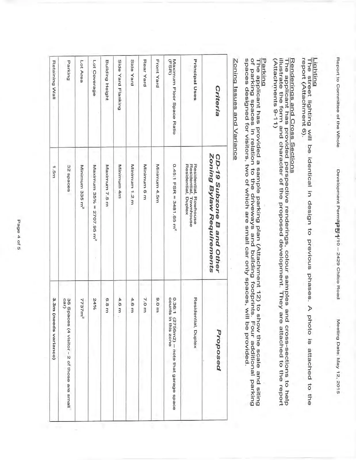
Zoning Issues and Variance
| Criteria | CD-19 Subzone B and Other Zoning Bylaw Requirements | Proposed |
|---|---|---|
| Principal Uses | Residential, Rowhouse; Residential, Townhouse; Residential, Duplex | Residential, Duplex |
| Maximum Floor Space Ratio (FSR) | 0.45:1 FSR = 3481.65 m² | 0.36:1 (2756m2) – note that garage space counts in this zone |
| Front Yard | Minimum 4.5m | 9.0 m |
| Rear Yard | Minimum 6 m | 7.0 m |
| Side Yard | Minimum 1.2 m | 4.6 m |
| Side Yard Flanking | Minimum 4m | 4.6 m |
| Building Height | Maximum 7.5 m | 6.8 m |
| Lot Coverage | Maximum 35% = 2707.95 m² | 24% |
| Lot Area | Minimum 335 m² | 7737m² |
| Parking | 32 spaces | 36 Spaces (4 visitor - 2 of those are small car) |
| Retaining Wall | 1.5m | 3.3m (needs variance) |
A variance is requested for the height of mortared boulder stacked walls on a significant proportion of the perimeter of the site. The highest portion of the wall is adjacent to the Trans-Canada Six Mile Rd off-ramp In principle, the variance can be supported because site is on one side of a valley that topography is steep and the retaining walls are necessary to create a more level site. The walls will have very little visual impact on current and future development in the area, given that the development's exposure to adjacent residential is minimal and buffered by green space.
This item is expected to be presented to the regular meeting of Council on June 2, 2015, and notification of adjacent properties will take place.
RECOMMENDATION:
THAT this report be received for information.
SUBMITTED BY: James Davison, MCIP, RPP, Planner
REVIEWED BY: L. Chase, MCIP, RPP, Director of Development Services
ATTACHMENTS:
- Subject Property Map
- Applicant’s Letter – Limona Group, August 20, 2014
- Site Plan – Associated Engineering, undated
- Site Plan and Building Plans (elevation only) – Java Designs, Feb 8, 2015
- Colour Samples – Limona Group, undated
- Lighting Sample – Limona Group, undated
- Landscape Plan – DelSol Designs, March 2015
- Grading Plan – Associated Engineering, undated
- Perspective Renderings – Java Designs, undated
- Site Cross Sections – Associated Engineering, undated
- Line of Sight – Associated Engineering, undated
- Sample Parking Plan – Limona Construction, undated
- Grading and Erosion Control Plan – Associated Engineering, undated
- Tree Retention Plan – Talbot Mackenzie, December 19, 2014
- Development Permit Guidelines Review – Development Services Staff
Document Images
(5)