This site is in beta — data may be incomplete and features are still being added.
Committee of the Whole/Documents/Massing Renderings - 280 Island Highway
Appendix

Massing Renderings - 280 Island Highway

May 12, 2015Pages 200–2031 section

3D models showing potential building massing for a 4-storey development on the site.

9.2.3 e Rezoning - 280 Island Highway
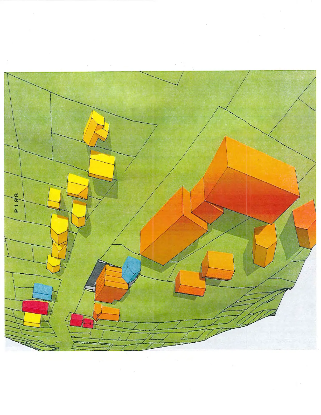
Visualizes building footprint relative to neighborhood topography

Architectural Site Renderings
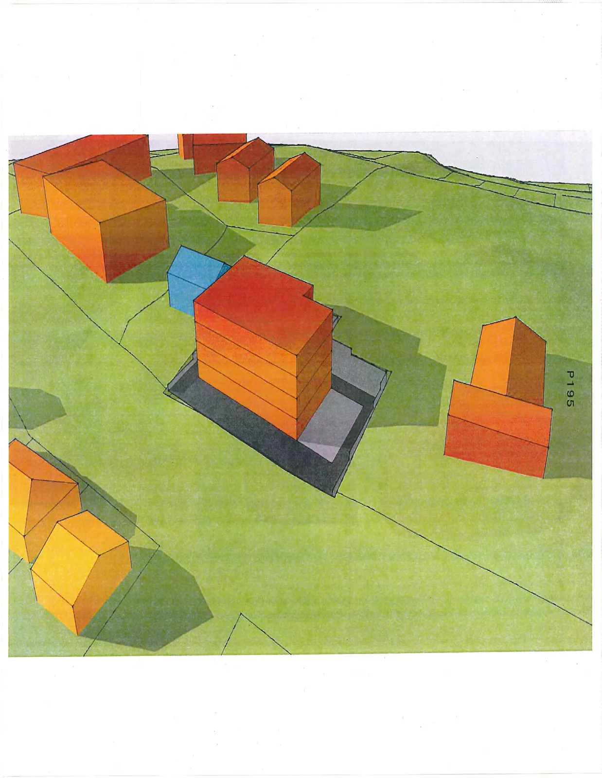
3D perspective rendering of a multi-story tiered building in orange and red tones, adjacent to a smaller blue structure, set within a green landscaped area with surrounding smaller buildings.
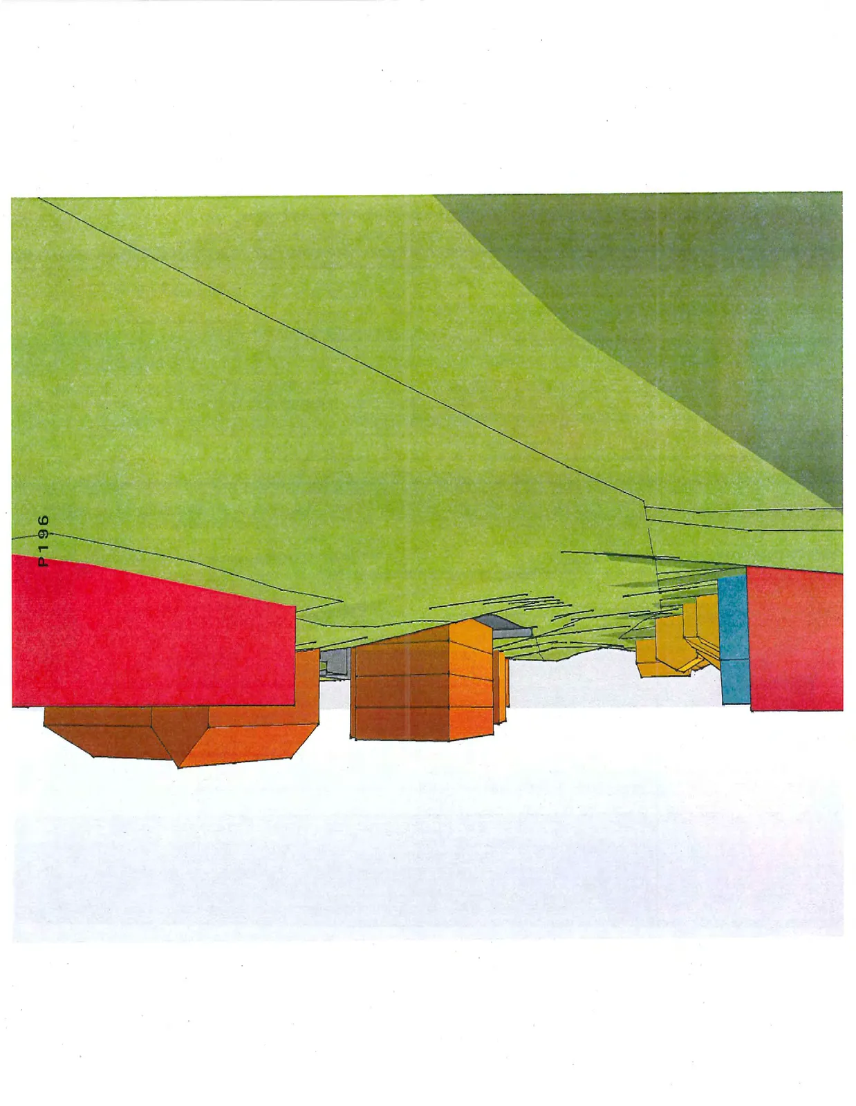
Low-angle ground-level 3D perspective rendering looking across the landscape toward the tiered orange building and surrounding structures.
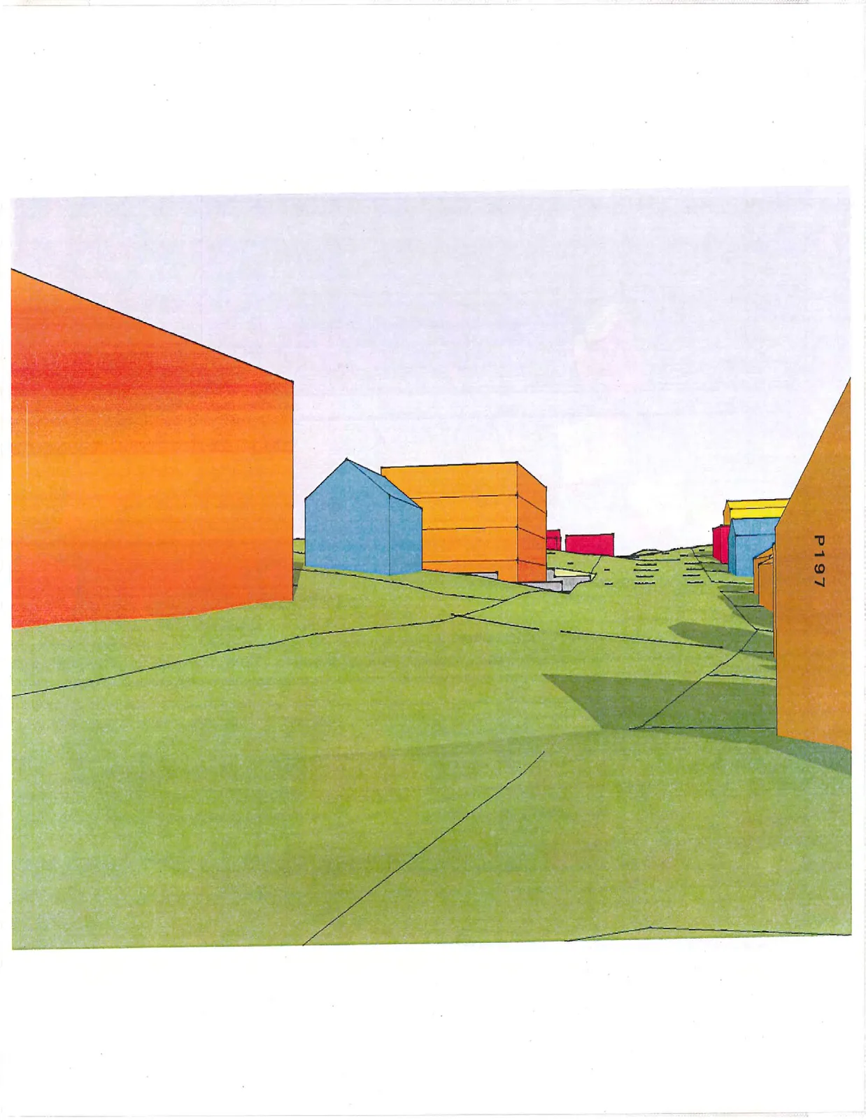
Perspective 3D rendering from a distance across an open green space toward the orange and blue structures.
Oblique aerial 3D rendering showing a large cluster of orange, red, blue, and yellow buildings distributed across a sloped green site with boundary lines.
Page 200–203
Extracted from: 2015 05 12 Committee of the Whole Agenda