OFFICIAL COMMUNITY PLAN AMENDMENT 2014/02 AND REZONING APPLICATION 2014/13 – 102 ATKINS ROAD
Staff report regarding a proposal to rezone 102 Atkins Road from R-1 to a new zone to permit a nine-unit multifamily development.
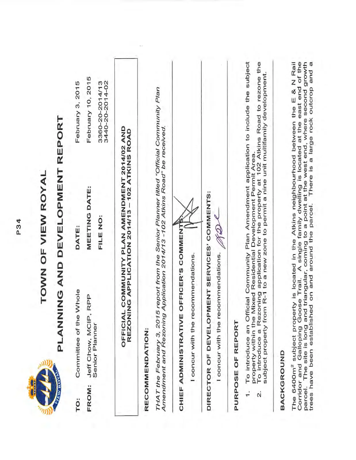
PLANNING AND DEVELOPMENT REPORT
TO: Committee of the Whole DATE: February 3, 2015 FROM: Jeff Chow, MCIP, RPP, Senior Planner MEETING DATE: February 10, 2015 FILE NO: 3360-20-2014/13, 3440-20-2014-02
OFFICIAL COMMUNITY PLAN AMENDMENT 2014/02 AND REZONING APPLICATION 2014/13 – 102 ATKINS ROAD
RECOMMENDATION:
THAT the February 3, 2015 report from the Senior Planner titled "Official Community Plan Amendment and Rezoning Application 2014/13 -102 Atkins Road" be received.
CHIEF ADMINISTRATIVE OFFICER'S COMMENTS: I concur with the recommendations.
DIRECTOR OF DEVELOPMENT SERVICES' COMMENTS: I concur with the recommendations.
PURPOSE OF REPORT
- To introduce an Official Community Plan Amendment application to include the subject property within the Mixed Residential Development Permit Area.
- To introduce a Rezoning application for the property at 102 Atkins Road to rezone the subject property from R-1 to a new zone to permit a nine unit multifamily development.
BACKGROUND
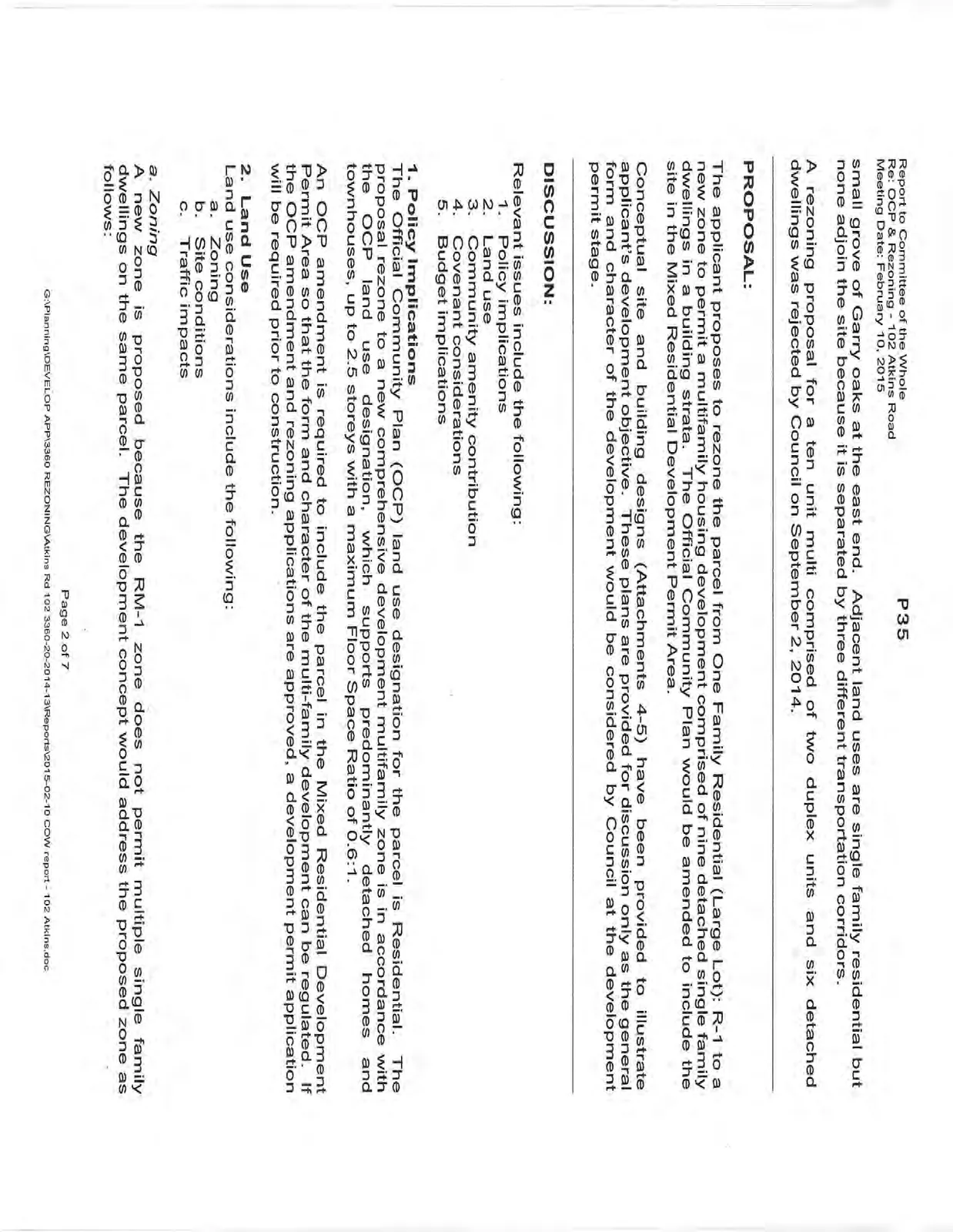
The 6400m² subject property is located in the Atkins neighbourhood between the E & N Rail Corridor and Galloping Goose Trail. A single family dwelling is located at the east end of the parcel. The site is long and triangular, coming to a point at the west end, where second growth trees have been established on and around the parcel. There is a large rock outcrop and a small grove of Garry oaks at the east end. Adjacent land uses are single family residential but none adjoin the site because it is separated by three different transportation corridors.
A rezoning proposal for a ten unit multi comprised of two duplex units and six detached dwellings was rejected by Council on September 2, 2014.
PROPOSAL:
The applicant proposes to rezone the parcel from One Family Residential (Large Lot): R-1 to a new zone to permit a multifamily housing development comprised of nine detached single family dwellings in a building strata. The Official Community Plan would be amended to include the site in the Mixed Residential Development Permit Area.
Conceptual site and building designs (Attachments 4-5) have been provided to illustrate applicant's development objective. These plans are provided for discussion only as the general form and character of the development would be considered by Council at the development permit stage.
DISCUSSION:
Relevant issues include the following:
- Policy implications
- Land use
- Community amenity contribution
- Covenant considerations
- Budget implications
1. Policy Implications
The Official Community Plan (OCP) land use designation for the parcel is Residential. The proposal rezone to a new comprehensive development multifamily zone is in accordance with the OCP land use designation, which supports predominantly detached homes and townhouses, up to 2.5 storeys with a maximum Floor Space Ratio of 0.6:1.
An OCP amendment is required to include the parcel in the Mixed Residential Development Permit Area so that the form and character of the multi-family development can be regulated. If the OCP amendment and rezoning applications are approved, a development permit application will be required prior to construction.
2. Land Use
Land use considerations include the following: a. Zoning b. Site conditions c. Traffic impacts
a. Zoning
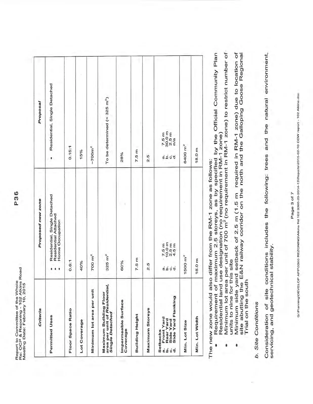
A new zone is proposed because the RM-1 zone does not permit multiple single family dwellings on the same parcel. The development concept would address the proposed zone as follows:
| Criteria | Proposed new zone | Proposal |
|---|---|---|
| Permitted Uses | • Residential, Single Detached • Residential Attached • Home Occupation |
• Residential, Single Detached |
| Floor Space Ratio | 0.6:1 | 0.15:1 |
| Lot Coverage | 40% | 15% |
| Minimum lot area per unit | 700 m² | ~700m² |
| Maximum Building Floor area per unit of Residential, Single Detached | 325 m² | To be determined (< 325 m²) |
| Impermeable Surface Coverage | 60% | 28% |
| Building Height | 7.5 m | 7.5 m |
| Maximum Storeys | 2.5 | 2.5 |
| Setbacks a. Front Yard b. Rear Yard c. Side Yard d. Side Yard Flanking |
a. 7.5 m b. 10.0 m c. 2.5 m d. 4.5 m |
a. 7.5 m b. 30.0 m c. 2.5 m d. n/a |
| Min. Lot Size | 1500 m² | 6400 m² |
| Min. Lot Width | 18.0 m | 18.0 m |
The new zone would also differ from the RM-1 zone as follows:
- Requirement of maximum 2.5 storeys, as by specified by the Official Community Plan Residential land use designation (no requirement in RM-1 zone)
- Minimum lot area per unit of 700 m² (no requirement in RM-1 zone) to restrict number of units to nine for this site
- Minimum side yard setback of 2.5 m (1.5 m required in RM-1 zone) due to location of site abutting the E&N railway corridor on the north and the Galloping Goose Regional Trial on the south
b. Site Conditions
Consideration of site conditions includes the following: trees and the natural environment, servicing, and geotechnical stability.
i. Trees and the natural environment
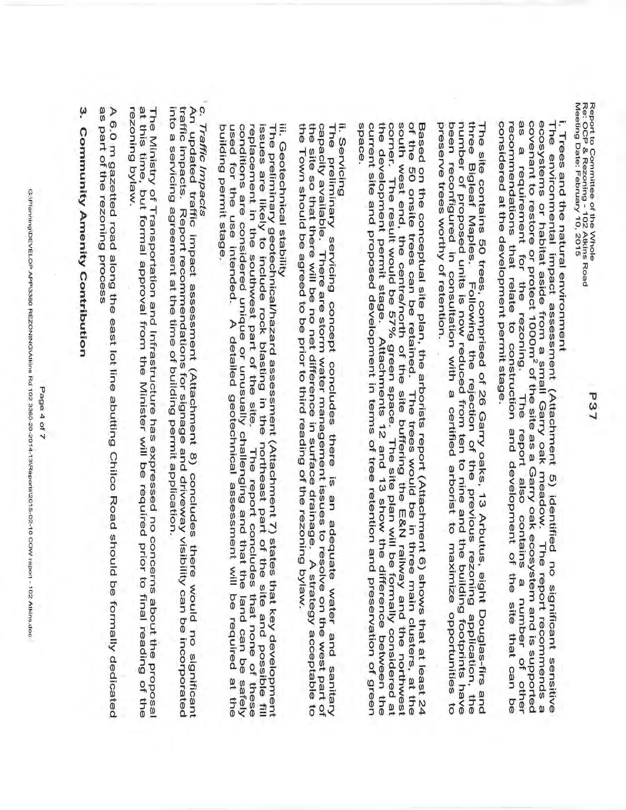
The environmental impact assessment (Attachment 5) identified no significant sensitive ecosystems or habitat aside from a small Garry oak meadow. The report recommends a covenant to restore or protect 1000m² of the site as a Garry oak ecosystem and is supported as a requirement for the rezoning. The report also contains a number of other recommendations that relate to construction and development of the site that can be considered at the development permit stage.
The site contains 50 trees, comprised of 26 Garry oaks, 13 Arbutus, eight Douglas-firs and three Bigleaf Maples. Following the rejection of the previous rezoning application, the number of proposed units is now reduced from ten to nine and the building footprints have been reconfigured in consultation with a certified arborist to maximize opportunities to preserve trees worthy of retention.
Based on the conceptual site plan, the arborists report (Attachment 6) shows that at least 24 of the 50 onsite trees can be retained. The trees would be in three main clusters, at the south west end, the centre/north of the site buffering the E&N railway and the northwest corner. The result would be 57% green space. The site plan will be formally considered at the development permit stage. Attachments 12 and 13 show the difference between the current site and proposed development in terms of tree retention and preservation of green space.
ii. Servicing
The preliminary servicing concept concludes there is an adequate water and sanitary capacity available. There are storm water management issues to resolve on the west part of the site so that there will be no net difference in surface drainage. A strategy acceptable to the Town should be agreed to be prior to third reading of the rezoning bylaw.
iii. Geotechnical stability
The preliminary geotechnical/hazard assessment (Attachment 7) states that key development issues are likely to include rock blasting in the northeast part of the site and possible fill replacement in the southwest part of the site. The report concludes that none of these conditions are considered unique or unusually challenging and that the land can be safely used for the use intended. A detailed geotechnical assessment will be required at the building permit stage.
c. Traffic Impacts
An updated traffic impact assessment (Attachment 8) concludes there would no significant traffic impacts. Report recommendations for signage and driveway visibility can be incorporated into a servicing agreement at the time of building permit application.
The Ministry of Transportation and Infrastructure has expressed no concerns about the proposal at this time, but formal approval from the Minister will be required prior to final reading of the rezoning bylaw.
A 6.0 m gazetted road along the east lot line abutting Chilco Road should be formally dedicated as part of the rezoning process.
3. Community Amenity Contribution
Both Town and CRD regularly receive expressions of concern from residents and trail users about speeding vehicles and poor visibility at the Galloping Goose Regional Trail crossing of Atkins Road adjacent to the site. This has continued despite instituting a 30 km/h speed limit and installing a crosswalk alert sign. The applicant proposes to provide pedestrian-activated flashing lights as a community amenity contribution. This should be secured in a covenant as part of the rezoning.
4. Covenant Considerations
Concurrent to fourth reading of the rezoning bylaw, registration of a covenant to require the following is recommended:
a. Preservation of open space The environmental impact assessment (Attachment 5) recommends a covenant to protect (and restore) 1000m² of the site as a Garry oak ecosystem.
b. A contribution to require construction of, or security deposit for, pedestrian-activated crossing lights at the Galloping Goose crossing on Atkins Road, a flashing light to the east, and associated works prior to building permit issuance. The Town and CRD regularly receives expressions of concern from residents and trail users about speeding vehicles and poor visibility at the Galloping Goose Regional Trail crossing of Atkins Road adjacent to the site, despite a 30 km/h speed limit and installation of a crosswalk alert sign. The provision of pedestrian activated crossing lights at the Atkins Road crossing and a flashing light further to the east would be significant safety improvement. Associated works would include signage, pavement/landscape repair from installation, relocation of irrigation lines, etc.
5. Budget Implications
There are no extraordinary budget implications expected for the Town. If pedestrian activated flashing lights are provided at the Galloping Goose Regional Trail crossing of Atkins Road adjacent to the site, there would be minor maintenance costs for the Town over the long term but can these be justified for the enhancement of public safety.
RECOMMENDATION:
THAT the February 3, 2015 report from the Senior Planner titled "Official Community Plan Amendment and Rezoning Application 2014/13 -102 Atkins Road" be received.
Document Images
(5)