Environmental Impact Assessment - 102 Atkins Road
Biological report assessing the ecological features and constraints of the 102 Atkins Road property.
Cascadia Biological Services 772 Goldstream Ave Victoria, BC V9B 5S4
October 19th 2014
Brian Trenchard – Owner 102 Atkins Road
Environmental Impact Assessment
102 Atkins Road
Town of View Royal
Purpose
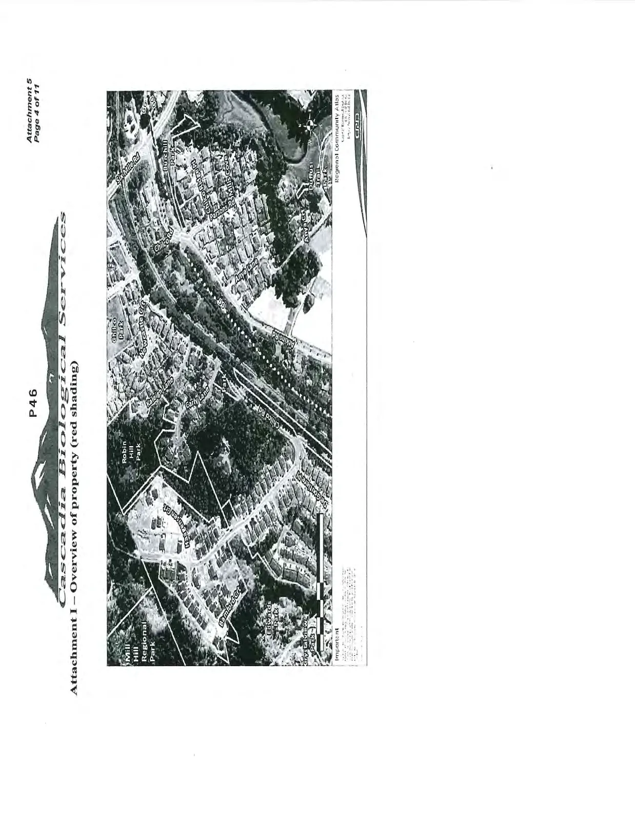
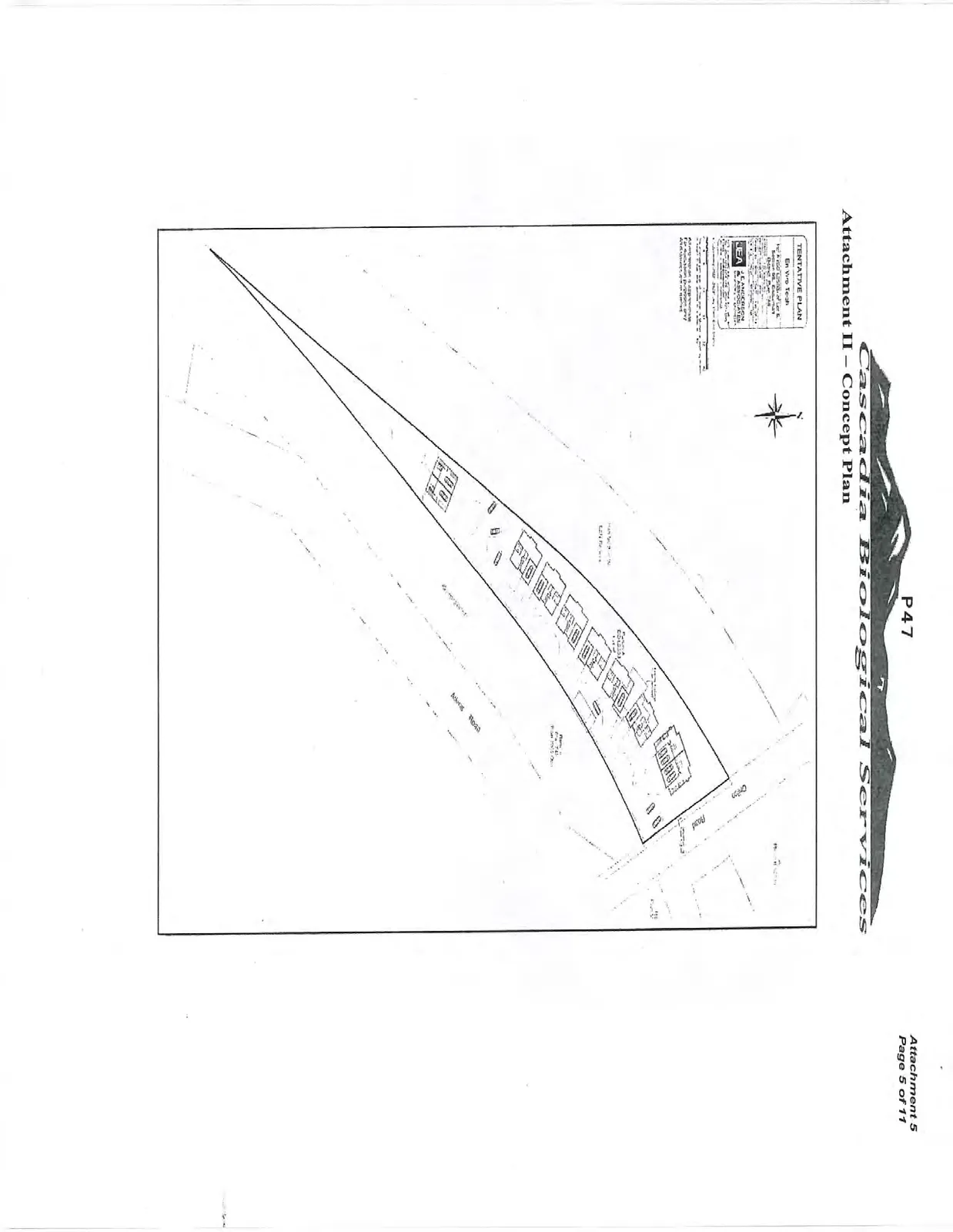
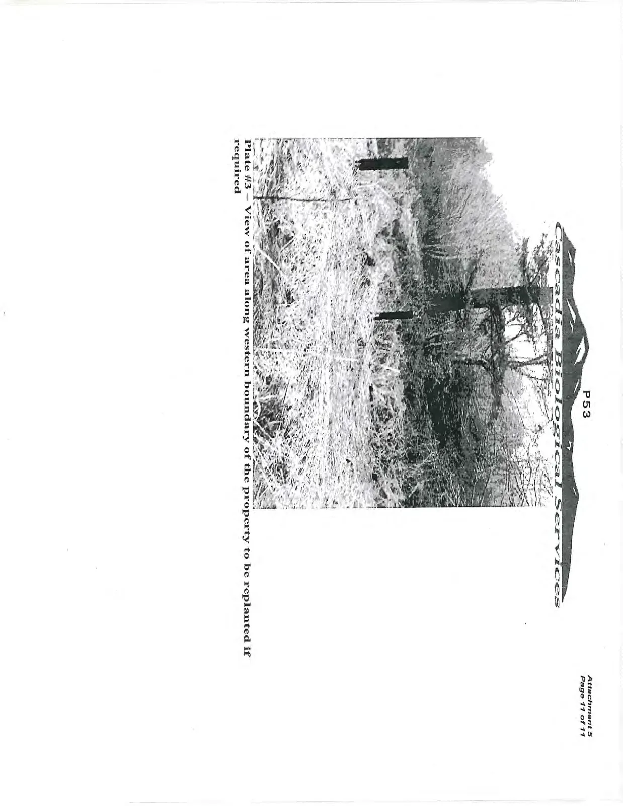
At the request of the Town of View Royal, a site visit was completed in the summer of 2012 and in February of 2014 by Cascadia Biological Services to identify potential riparian/wildlife setbacks for a proposed subdivision located in the Town of View Royal. The Environmental Assessment is required as subdivisions and the associated infrastructure and proposed housing areas require setbacks from waterbodies and/or rare elements (if located). The setbacks are variable depending on the waterbody/attribute in question whether it is a ditch, a seasonal creek, wetland, lake, wildlife tree, rare species of plant/wildlife etc. Please refer to Attachment I identifying the proposed study area/subdivision along Watkins Road as well as Attachment II – V showing the site location with different perspectives. Typical photographs of the lot and biophysical conditions present at time of survey are presented in Attachment VI.
Background
The owner of the property retained Cascadia Biological Services to determine what watercourses and/or environmentally significant features were present on-site as well as to prescribe what setbacks (if any) that the proposed subdivision should adhere too. Mr. Roy was then to provide the owner with an overview environmental report of the proposed disturbed areas. The site was visited on several occasions in the summer of 2012 and again in February 2014
One of the primary goals of this assessment was to determine if any watercourses were present within 30m linear distance from the property lines and if so, fell under the Riparian Areas Regulations (RAR) legislation. The legislation requires a more detailed report for waterbodies if they are located within the proposed study area and/or, the 30m riparian assessment area (RAA) riparian buffer falls within the boundaries of the proposed subdivision/disturbed areas. The Town of View Royal has adopted the RAR legislation. The RAR establishes standard 30m setbacks (maybe greater if in a ravine) from waterbodies.
Environmental Assessment Findings
- Subject Property – The property has no waterbodies meeting the definition of a stream/lake/wetland under the Riparian Areas Regulations (RAR) legislation within 30m of the proposed subdivision. A RAR report is therefore not required for the project and associated infrastructure;
- Vascular plants and rare ecosystems were assessed for provincial listed status with the British Columbia Conservation Data Centre (Conservation Data Centre: Rare Vascular Plant/Vegetative Communities Tracking List – South Island Forest District - 2014). The vegetation assessment of the property resulted in no red/blue listed species within the boundaries of the study area except for the odd and isolated (<8 specimens) Garry oaks. That being said, the area along the northeastern corner of the study area is still considered ecologically significant as it retains some functional attributes of a Garry Oak ecosystem albeit limited. Another environmentally significant polygon exists along the mid northern boundary of the property. This small 400 square meter polygon consists of 6-8 larger second growth conifer trees. Both of these polygons are presented in Attachment III. The subject property therefore is conducive to the subdivision as long as rare elements are protected on-site during the construction period and/or mitigation measures are adhered to as detailed in the recommendations below;
- Cascadia Biological Services also completed an overview wildlife assessment of the area proposed for both the access road and the proposed disturbed area. From our assessment, no stick nests and/or other environmentally significant attributes as determined by the BC Conservation Data Centre (BC CDC) were noted on or within 50m of the proposed subdivision. The CRD Natural Areas Atlas does however show the potential occurrence of sensitive species (within 100m of the proposed study area) as shown in Attachment IV. These include the Garry oak/oceanspray ecosystem and the potential for a vascular plant identified as Lobb’s Water-buttercup. Neither of these two elements were noted on the property
Recommendations
- QEP to be on-site during disturbances associated with the subdivision and site laydown;
- Garry oak trees removal is to be limited to no more than 6 trees. If removal of these trees are required, then revegetation within 100m of the site is required at a ratio of no less than 3:1;
- Three nesting boxes are required as compensation to mitigate the loss of trees in the area required for the proposed subdivision. QEP to determine size and location;
- If the Garry oak ecosystem along the northeast corner of the property (approximately 1000 square meters) is to be removed, then an equal area must be covenanted and replanted with Garry oaks and other Garry oak ecosystem shrubs/plants. If required, the area proposed for replanting is shown in Attachment V. This area is to be protected under a Section 219 covenant;
- All disturbed areas (post construction) are to be replanted with native plants under the supervision of the QEP.
If you have any questions regarding this assessment, please do not hesitate to contact me by means below.
Regards,
Thomas Roy, R.P. Bio., Cascadia Biological Services www.cascadiabiological.com
Attachment I – Overview of property (red shading)
Attachment II – Concept Plan
Attachment III – Environmentally Sensitive Areas within the Study Area
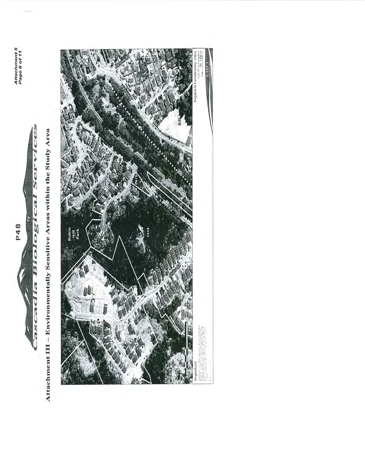
Attachment IV – Rare Element Occurrence Map
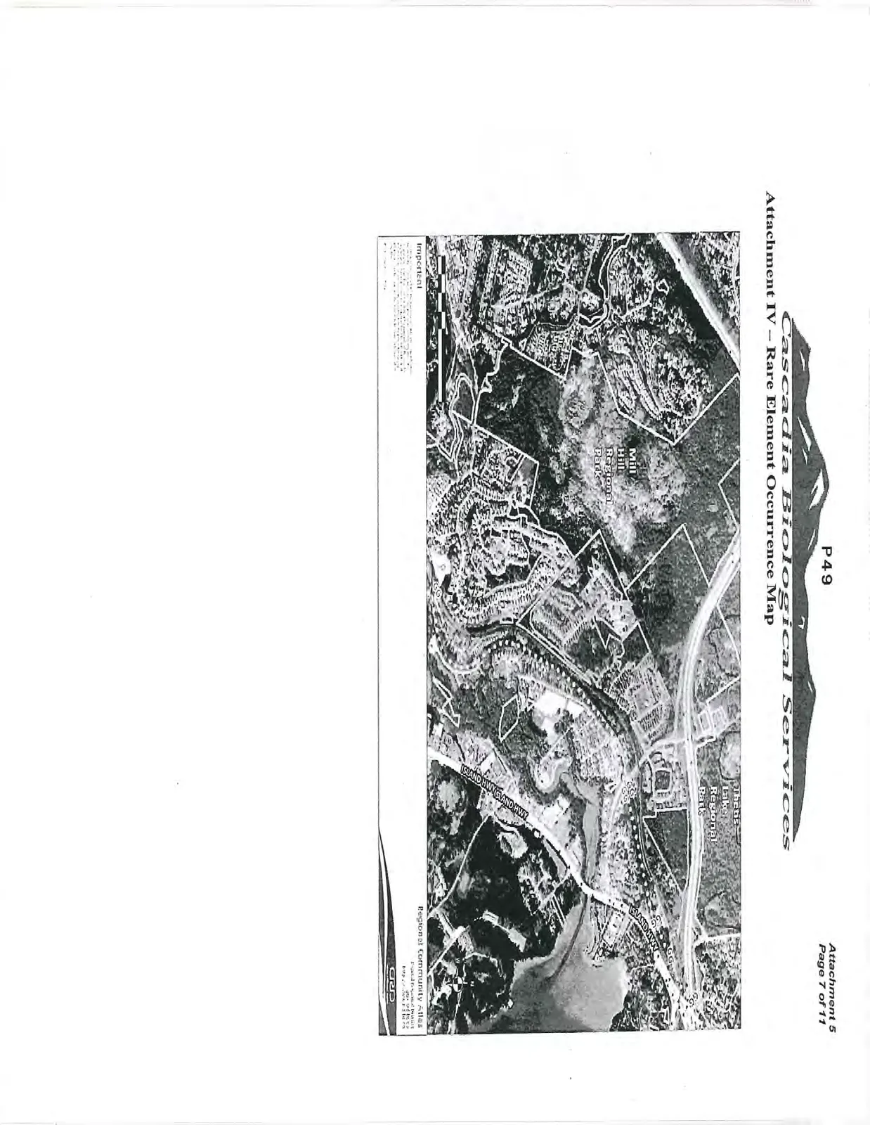
Attachment V – Proposed Covenant Area Map (if required)
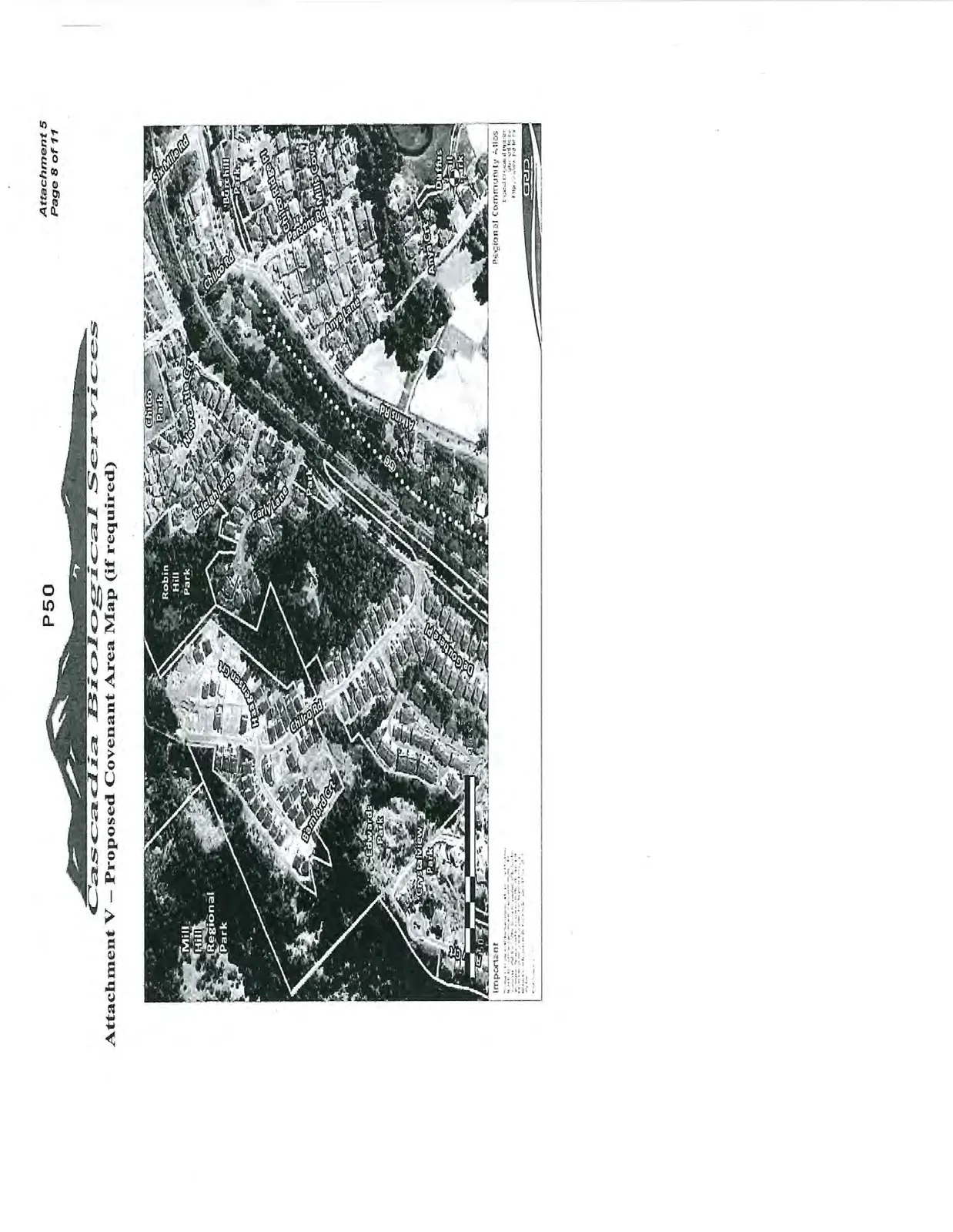
Attachment VI – Typical Site Pictures
Plate #1 – Typical view of Garry oak ecosystem along the northeastern corner of the property
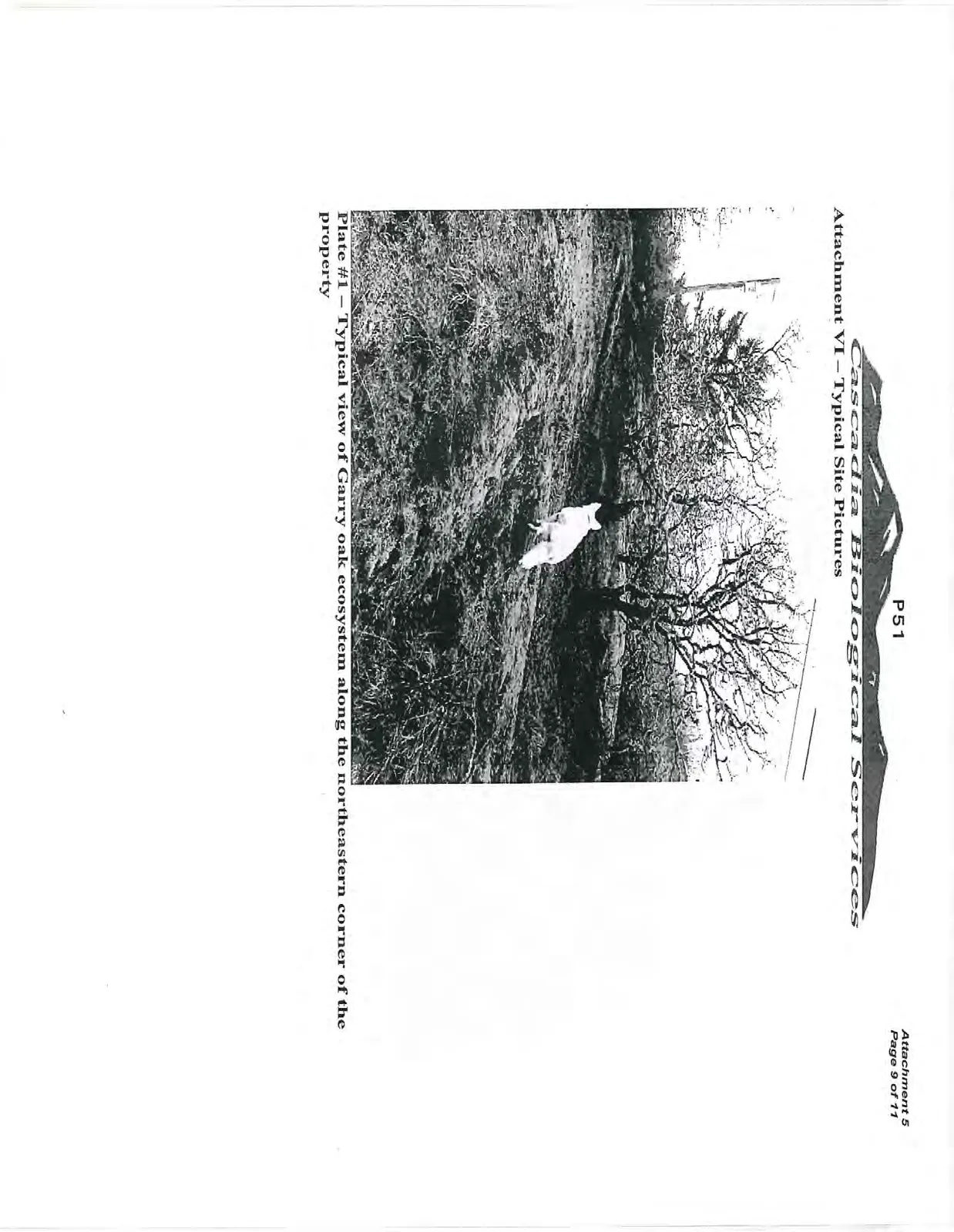
Plate #2 – View of older second generation Douglas fir ecosystem along northern (mid) boundary of property
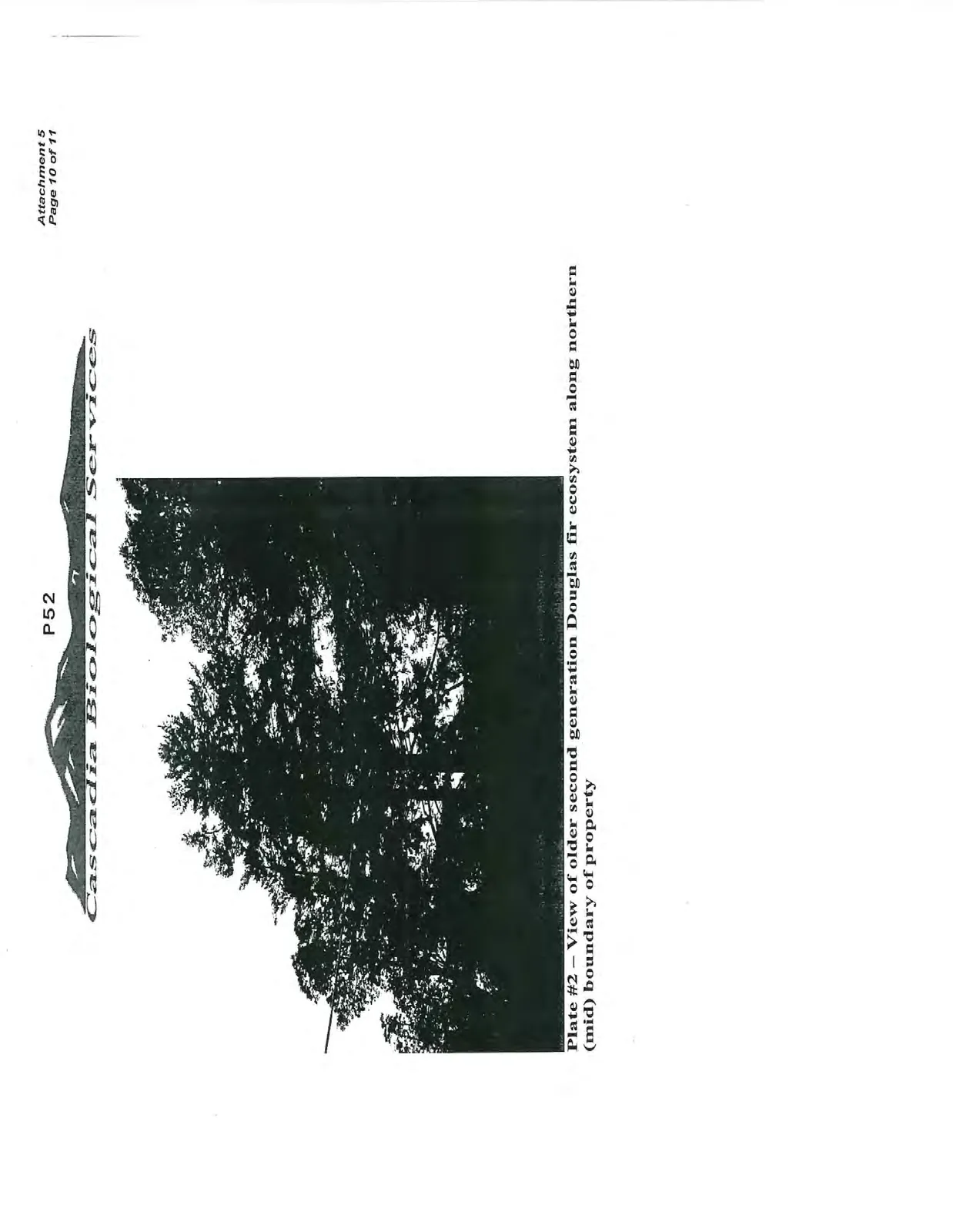
Plate #3 – View of area along western boundary of the property to be replanted if required
Document Images
(3)