Small Project Environmental Screening Report (DND/DFO)
Federal environmental screening document for private moorage in Esquimalt Harbour (incomplete sequence).
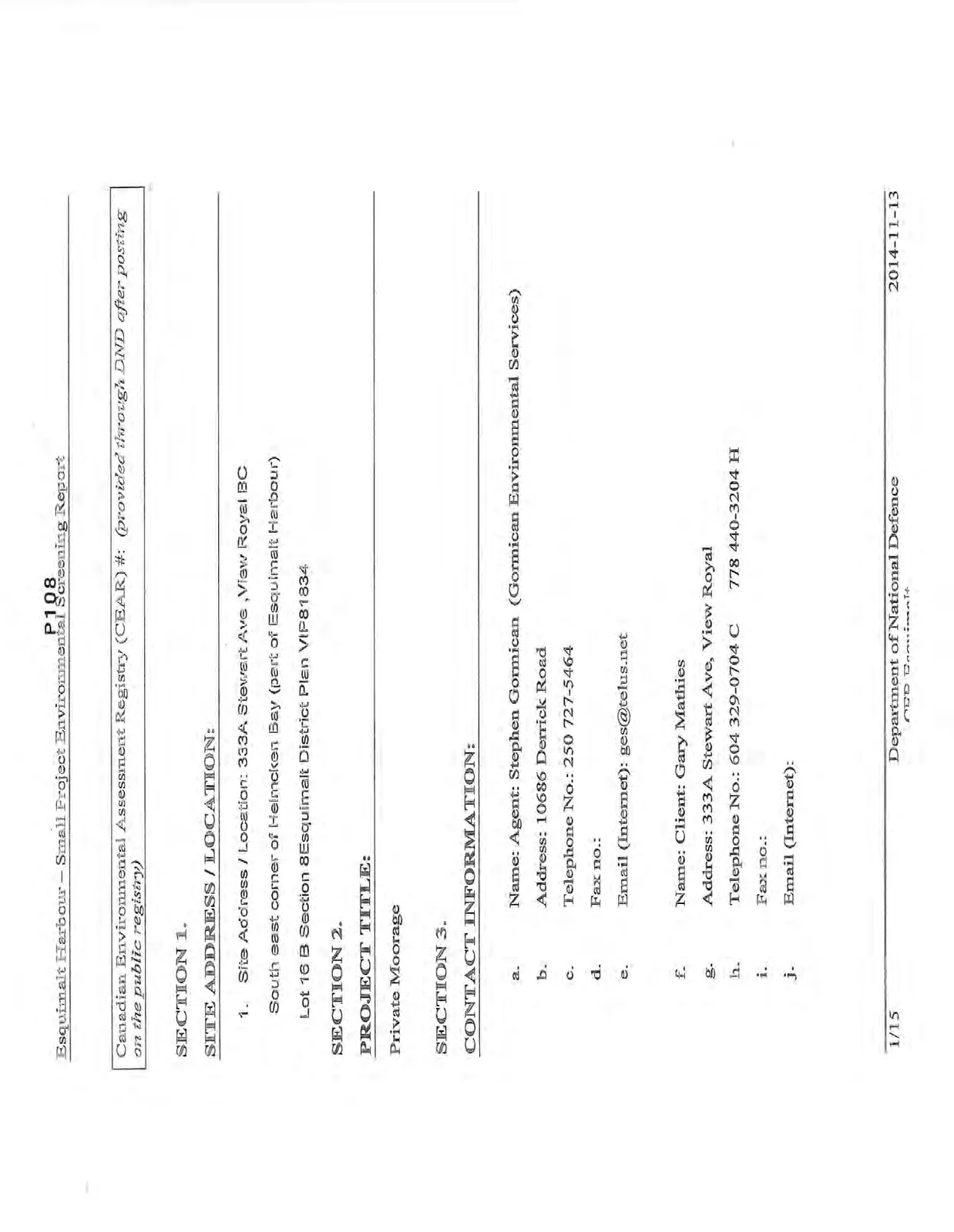
Esquimalt Harbour – Small Project Environmental Screening Report
Canadian Environmental Assessment Registry (CEAR) #: (provided through DND after posting on the public registry)
SECTION 1.
SITE ADDRESS / LOCATION:
- Site Address / Location: 333A Stewart Ave, View Royal BC South east corner of Helmcken Bay (part of Esquimalt Harbour) Lot 16 B Section 8 Esquimalt District Plan VIP81834
SECTION 2.
PROJECT TITLE:
Private Moorage
SECTION 3.
CONTACT INFORMATION:
a. Name: Agent: Stephen Gormican (Gormican Environmental Services) b. Address: 10686 Derrick Road c. Telephone No.: 250 727-5464 d. Fax no.: e. Email (Internet): ges@telus.net
f. Name: Client: Gary Mathies g. Address: 333A Stewart Ave, View Royal h. Telephone No.: 604 329-0704 C 778 440-3204 H i. Fax no.: j. Email (Internet):
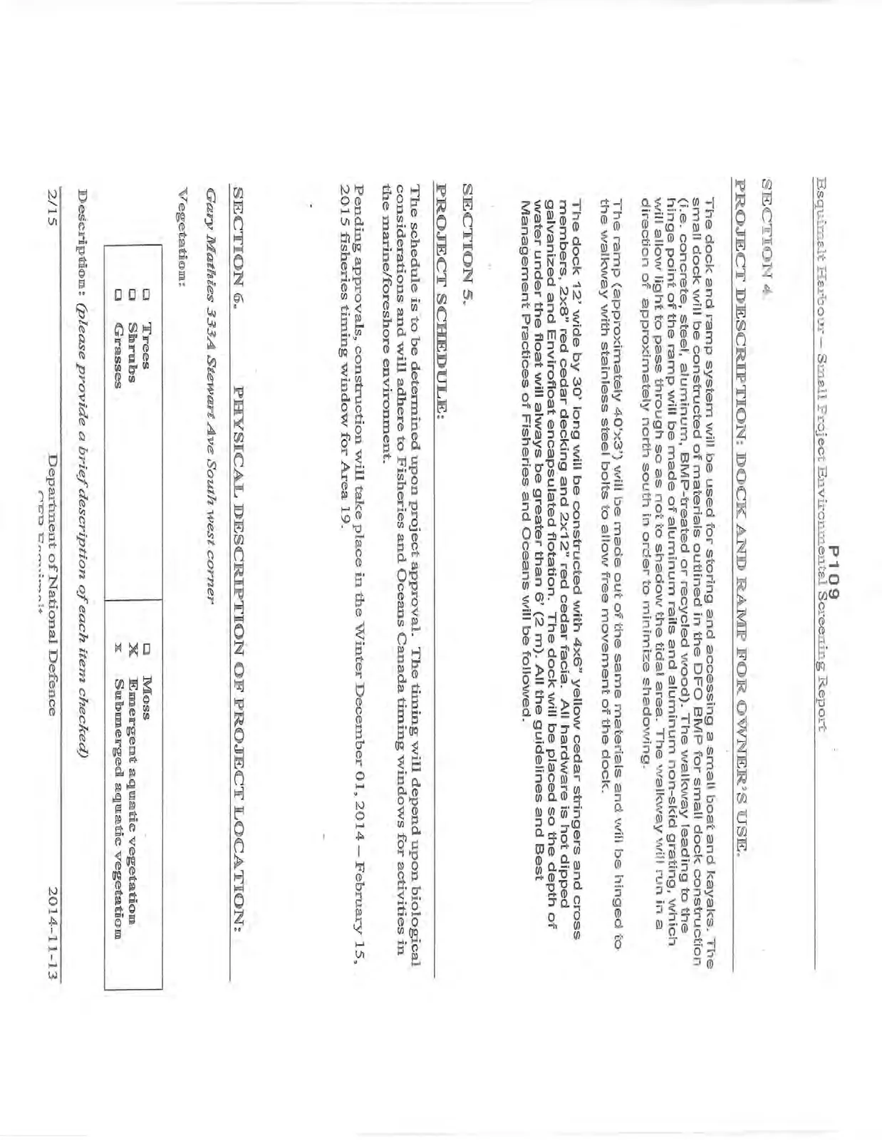
SECTION 4.
PROJECT DESCRIPTION: DOCK AND RAMP FOR OWNER’S USE.
The dock and ramp system will be used for storing and accessing a small boat and kayaks. The small dock will be constructed of materials outlined in the DFO BMP for small dock construction (i.e. concrete, steel, aluminum, BMP-treated or recycled wood). The walkway leading to the hinge point of the ramp will be made of aluminum rails and aluminum non-skid grating, which will allow light to pass through so as not to shadow the tidal area. The walkway will run in a direction of approximately north south in order to minimize shadowing.
The ramp (approximately 40'x3') will be made out of the same materials and will be hinged to the walkway with stainless steel bolts to allow free movement of the dock.
The dock 12' wide by 30' long will be constructed with 4x6" yellow cedar stringers and cross members, 2x8" red cedar decking and 2x12" red cedar facia. All hardware is hot dipped galvanized and Envirofloat encapsulated flotation. The dock will be placed so the depth of water under the float will always be greater than 6' (2 m). All the guidelines and Best Management Practices of Fisheries and Oceans will be followed.
SECTION 5.
PROJECT SCHEDULE:
The schedule is to be determined upon project approval. The timing will depend upon biological considerations and will adhere to Fisheries and Oceans Canada timing windows for activities in the marine/foreshore environment.
Pending approvals, construction will take place in the Winter December 01, 2014 – February 15, 2015 fisheries timing window for Area 19.
SECTION 6.
PHYSICAL DESCRIPTION OF PROJECT LOCATION:
Gary Mathies 333A Stewart Ave South west corner
Vegetation:
| Type | Selection |
|---|---|
| Trees | [ ] |
| Shrubs | [ ] |
| Grasses | [ ] |
| Moss | [ ] |
| Emergent aquatic vegetation | [X] |
| Submerged aquatic vegetation | [X] |
Description: (blank)
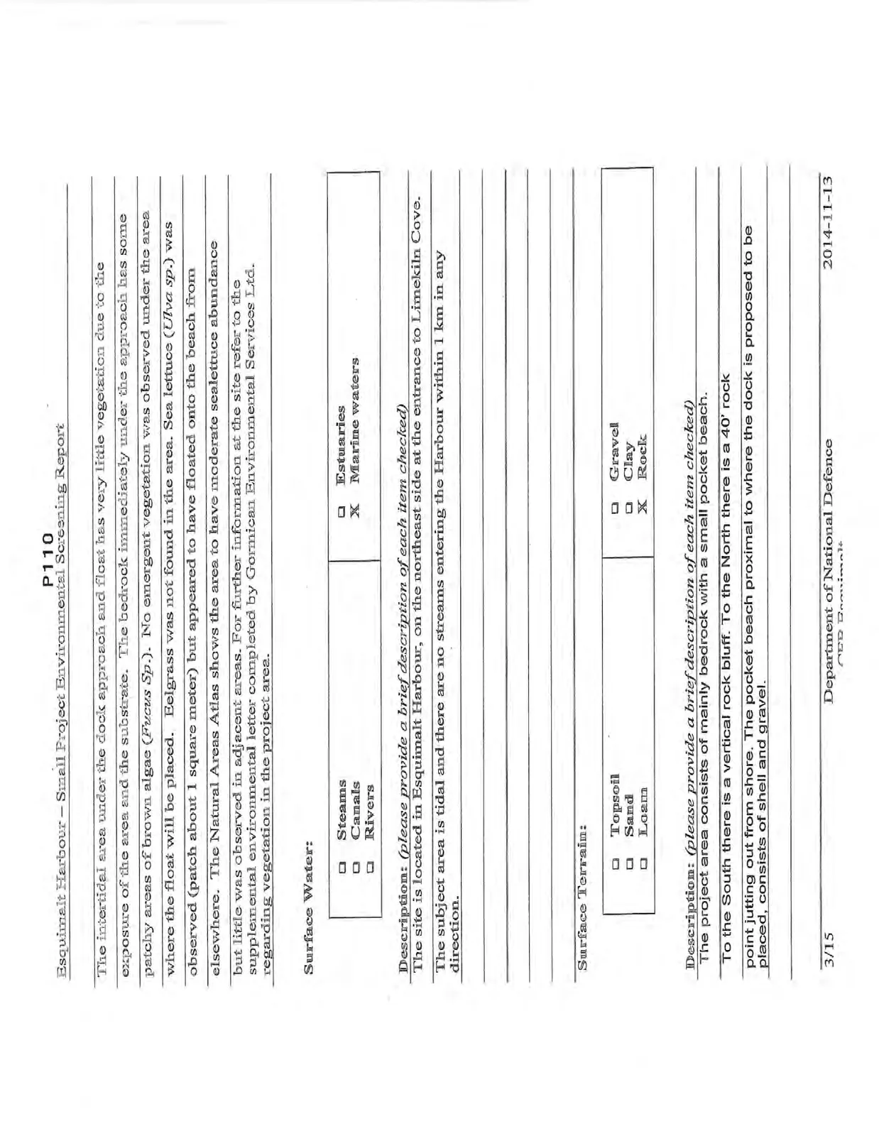
The intertidal area under the dock approach and float has very little vegetation due to the exposure of the area and the substrate. The bedrock immediately under the approach has some patchy areas of brown algae (Fucus Sp.). No emergent vegetation was observed under the area where the float will be placed. Eelgrass was not found in the area. Sea lettuce (Ulva sp.) was observed (patch about 1 square meter) but appeared to have floated onto the beach from elsewhere. The Natural Areas Atlas shows the area to have moderate sealettuce abundance but little was observed in adjacent areas. For further information at the site refer to the supplemental environmental letter completed by Gormican Environmental Services Ltd. regarding vegetation in the project area.
Surface Water:
| Type | Selection |
|---|---|
| Steams | [ ] |
| Canals | [ ] |
| Rivers | [ ] |
| Estuaries | [ ] |
| Marine waters | [X] |
Description: (please provide a brief description of each item checked) The site is located in Esquimalt Harbour, on the northeast side at the entrance to Limekiln Cove. The subject area is tidal and there are no streams entering the Harbour within 1 km in any direction.
Surface Terrain:
| Type | Selection |
|---|---|
| Topsoil | [ ] |
| Sand | [ ] |
| Loam | [ ] |
| Gravel | [ ] |
| Clay | [ ] |
| Rock | [X] |
Description: (please provide a brief description of each item checked) The project area consists of mainly bedrock with a small pocket beach. To the South there is a vertical rock bluff. To the North there is a 40' rock point jutting out from shore. The pocket beach proximal to where the dock is proposed to be placed, consists of shell and gravel.
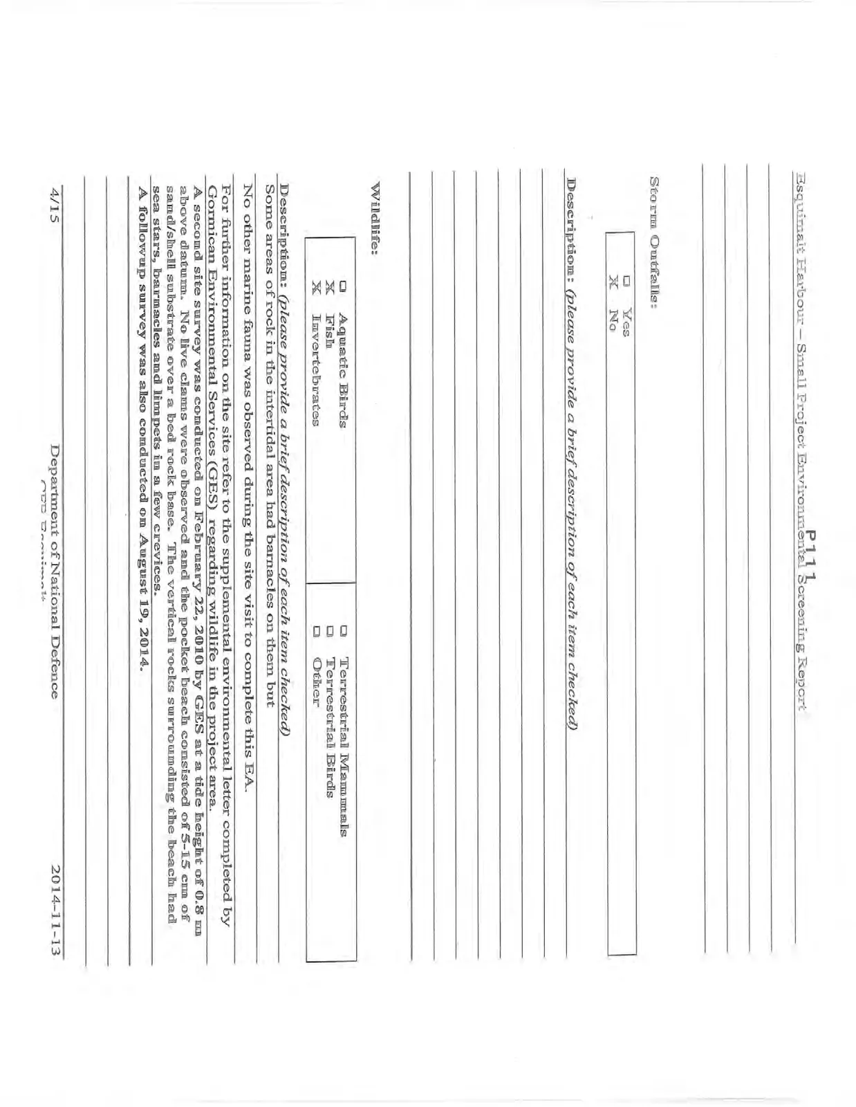
Storm Outfalls:
| Option | Selection |
|---|---|
| Yes | [ ] |
| No | [X] |
Description: (blank)
Wildlife:
| Type | Selection |
|---|---|
| Aquatic Birds | [ ] |
| Fish | [X] |
| Invertebrates | [X] |
| Terrestrial Mammals | [ ] |
| Terrestrial Birds | [ ] |
| Other | [ ] |
Description: (please provide a brief description of each item checked) Some areas of rock in the intertidal area had barnacles on them but no other marine fauna was observed during the site visit to complete this EA. For further information on the site refer to the supplemental environmental letter completed by Gormican Environmental Services (GES) regarding wildlife in the project area. A second site survey was conducted on February 22, 2010 by GES at a tide height of 0.8 m above datum. No live clams were observed and the pocket beach consisted of 5-15 cm of sand/shell substrate over a bed rock base. The vertical rocks surrounding the beach had sea stars, barnacles and limpets in a few crevices. A followup survey was also conducted on August 19, 2014.
Upland / Foreshore / Waterlot Use at Project Location:
| Type | Selection |
|---|---|
| Agricultural | [ ] |
| Commercial | [ ] |
| Industrial | [ ] |
| Residential | [X] |
| Harbour Use | [ ] |
| Undeveloped | [ ] |
| First Nations | [ ] |
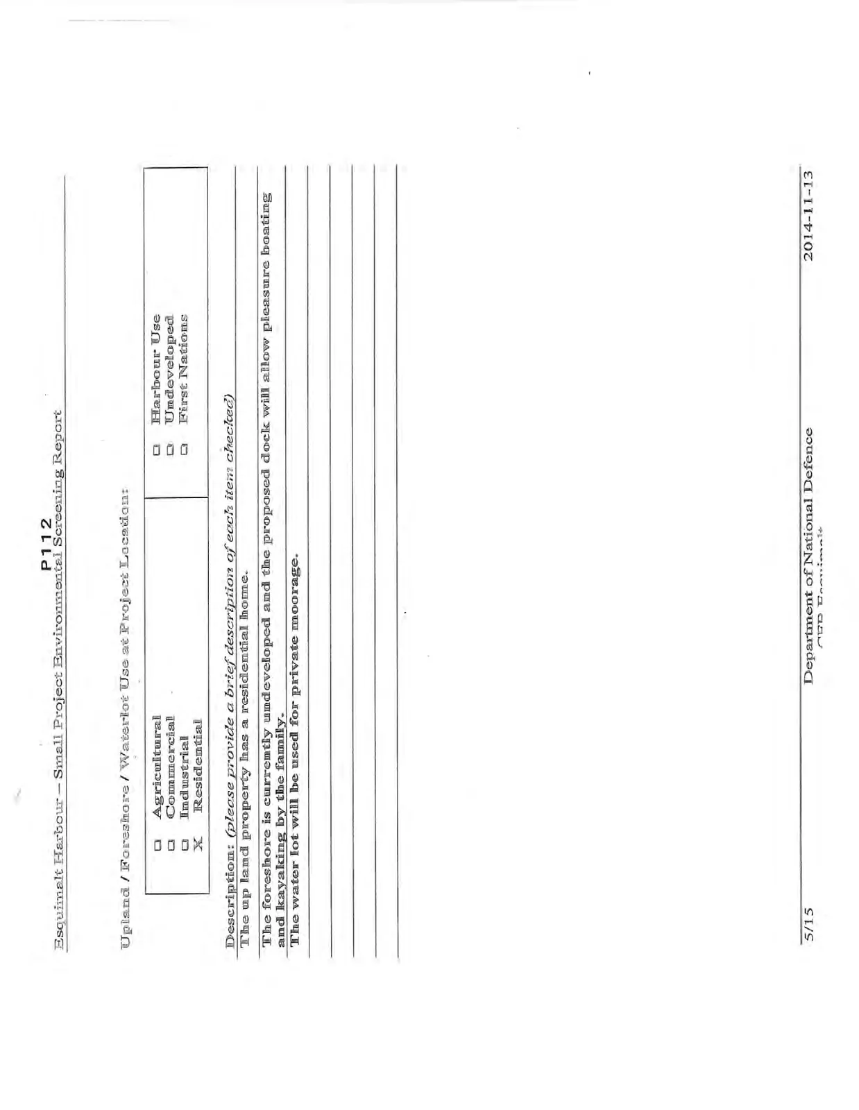
Description: (please provide a brief description of each item checked) The up land property has a residential home. The foreshore is currently undeveloped and the proposed dock will allow pleasure boating and kayaking by the family. The water lot will be used for private moorage.
Adjacent Upland / Foreshore / Waterlot Use:
| Type | Selection |
|---|---|
| Agricultural | [ ] |
| Commercial | [ ] |
| Industrial | [ ] |
| Residential | [X] |
| Harbour Use | [X] |
| Undeveloped | [ ] |
| First Nations | [ ] |
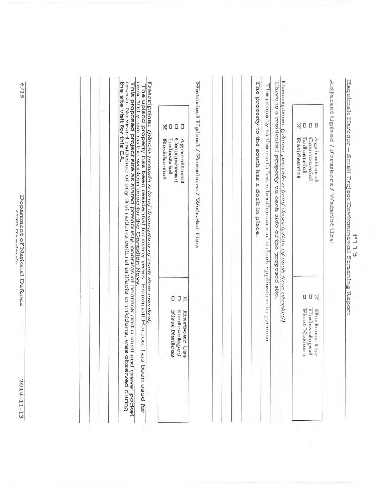
Description: (please provide a brief description of each item checked) There is a residential property on each side of the proposed site. The property to the north has a boathouse and a dock application in process. The property to the south has a dock in place.
Historical Upland / Foreshore / Waterlot Use:
| Type | Selection |
|---|---|
| Agricultural | [ ] |
| Commercial | [ ] |
| Industrial | [ ] |
| Residential | [X] |
| Harbour Use | [X] |
| Undeveloped | [ ] |
| First Nations | [ ] |
Description: (please provide a brief description of each item checked) The upland property has been residential for many years. Esquimalt Harbour has been used for over 100 years as the western base for the Canadian Navy. This proposed project site as stated previously, consists of bedrock and a shell and gravel pocket beach. No visual evidence of any first nations cultural artifacts or middens, was observed during the site visit for this EA.
PROPOSED ACTIVITIES:
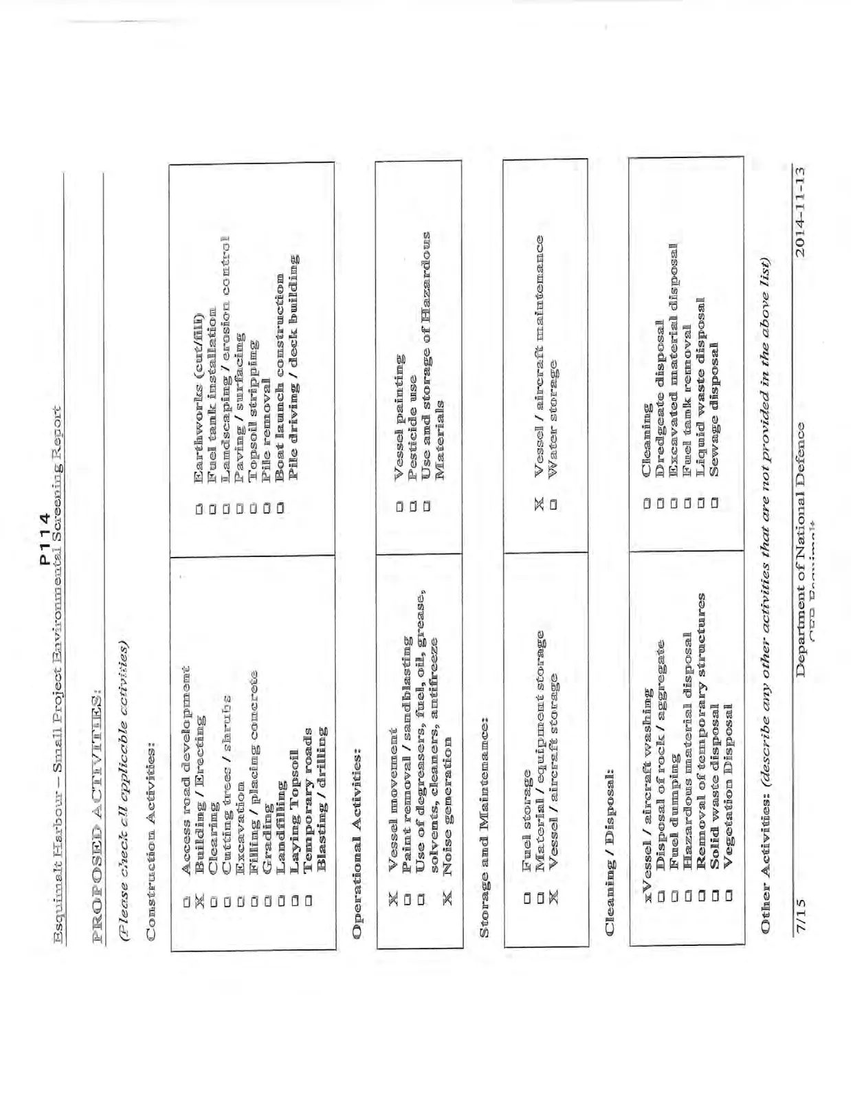
(Please check all applicable activities)
Construction Activities:
- Access road development
- Building / Erecting
- Clearing
- Cutting trees / shrubs
- Excavation
- Filling / placing concrete
- Grading
- Landfilling
- Laying Topsoil
- Temporary roads
- Blasting / drilling
- Earthworks (cut/fill)
- Fuel tank installation
- Landscaping / erosion control
- Paving / surfacing
- Topsoil stripping
- Pile removal
- Boat launch construction
- Pile driving / deck building
Operational Activities:
- Vessel movement
- Paint removal / sandblasting
- Use of degreasers, fuel, oil, grease, solvents, cleaners, antifreeze
- Noise generation
- Vessel painting
- Pesticide use
- Use and storage of Hazardous Materials
Storage and Maintenance:
- Fuel storage
- Material / equipment storage
- Vessel / aircraft storage
- Vessel / aircraft maintenance
- Water storage
Cleaning / Disposal:
- Vessel / aircraft washing
- Disposal of rock / aggregate
- Fuel dumping
- Hazardous material disposal
- Removal of temporary structures
- Solid waste disposal
- Vegetation Disposal
- Cleaning
- Dredgeate disposal
- Excavated material disposal
- Fuel tank removal
- Liquid waste disposal
- Sewage disposal
Other Activities: (describe any other activities that are not provided in the above list) (blank)
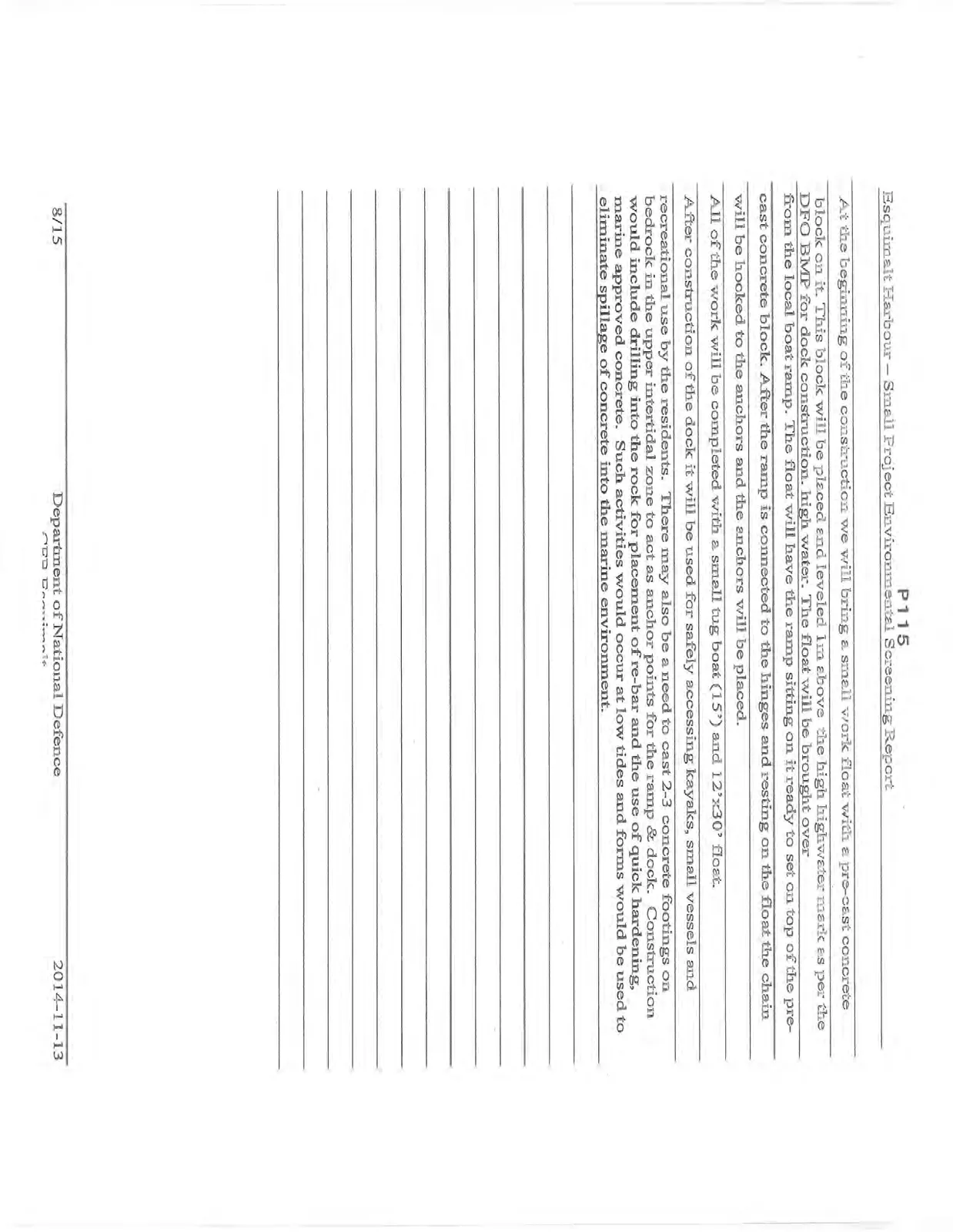
At the beginning of the construction we will bring a small work float with a pre-cast concrete block on it. This block will be placed and leveled 1m above the high highwater mark as per the DFO BMP for dock construction. high water. The float will be brought over from the local boat ramp. The float will have the ramp sitting on it ready to set on top of the pre-cast concrete block. After the ramp is connected to the hinges and resting on the float the chain will be hooked to the anchors and the anchors will be placed. All of the work will be completed with a small tug boat (15') and 12'x30' float. After construction of the dock it will be used for safely accessing kayaks, small vessels and recreational use by the residents. There may also be a need to cast 2-3 concrete footings on bedrock in the upper intertidal zone to act as anchor points for the ramp & dock. Construction would include drilling into the rock for placement of re-bar and the use of quick hardening, marine approved concrete. Such activities would occur at low tides and forms would be used to eliminate spillage of concrete into the marine environment.
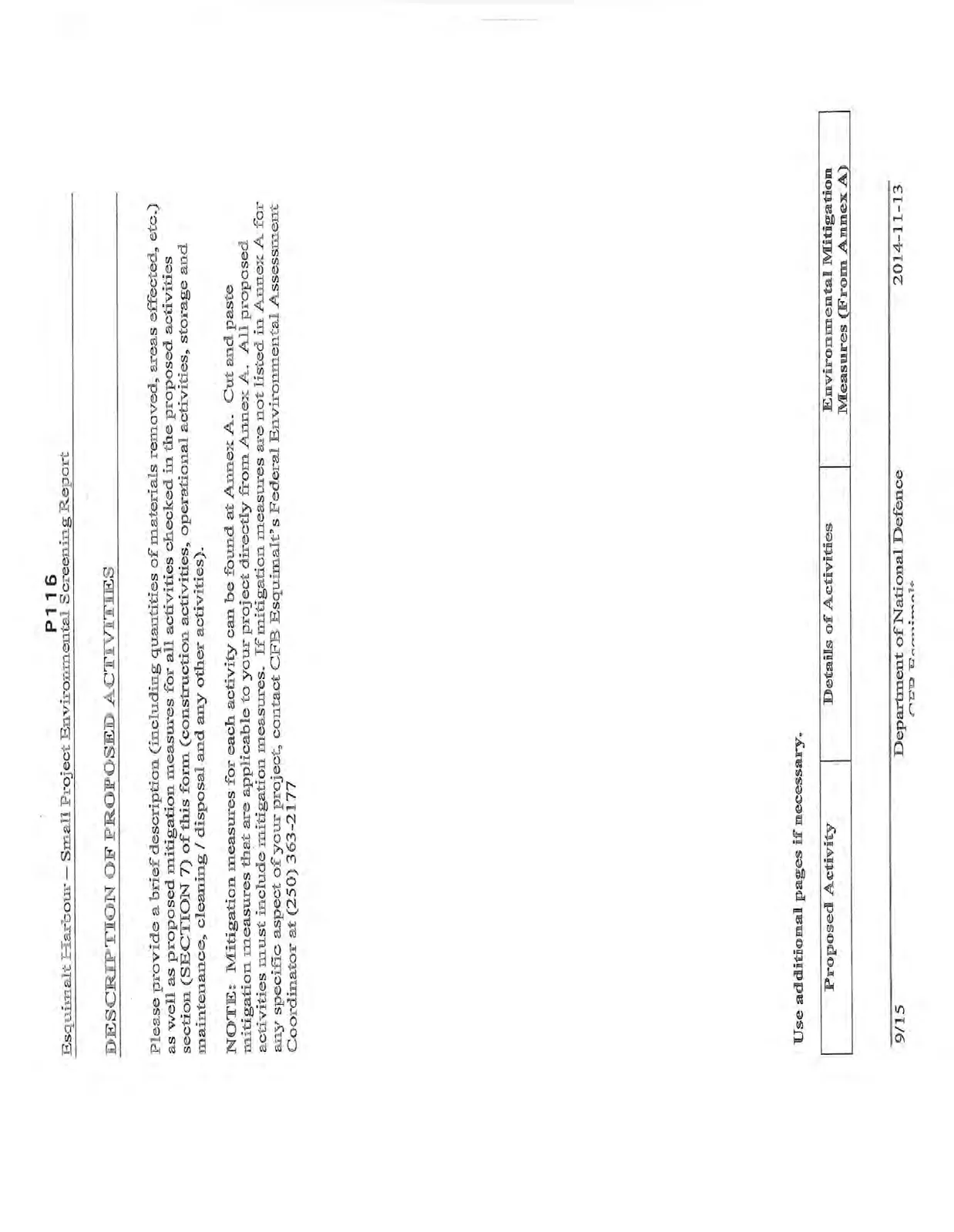
DESCRIPTION OF PROPOSED ACTIVITIES
Please provide a brief description (including quantities of materials removed, areas effected, etc.) as well as proposed mitigation measures for all activities checked in the proposed activities section (SECTION 7) of this form (construction activities, operational activities, storage and maintenance, cleaning / disposal and any other activities).
NOTE: Mitigation measures for each activity can be found at Annex A. Cut and paste mitigation measures that are applicable to your project directly from Annex A. All proposed activities must include mitigation measures. If mitigation measures are not listed in Annex A for any specific aspect of your project, contact CFB Esquimalt's Federal Environmental Assessment Coordinator at (250) 363-2177.
Use additional pages if necessary.
| Proposed Activity | Details of Activities | Environmental Mitigation Measures (From Annex A) |
|---|---|---|
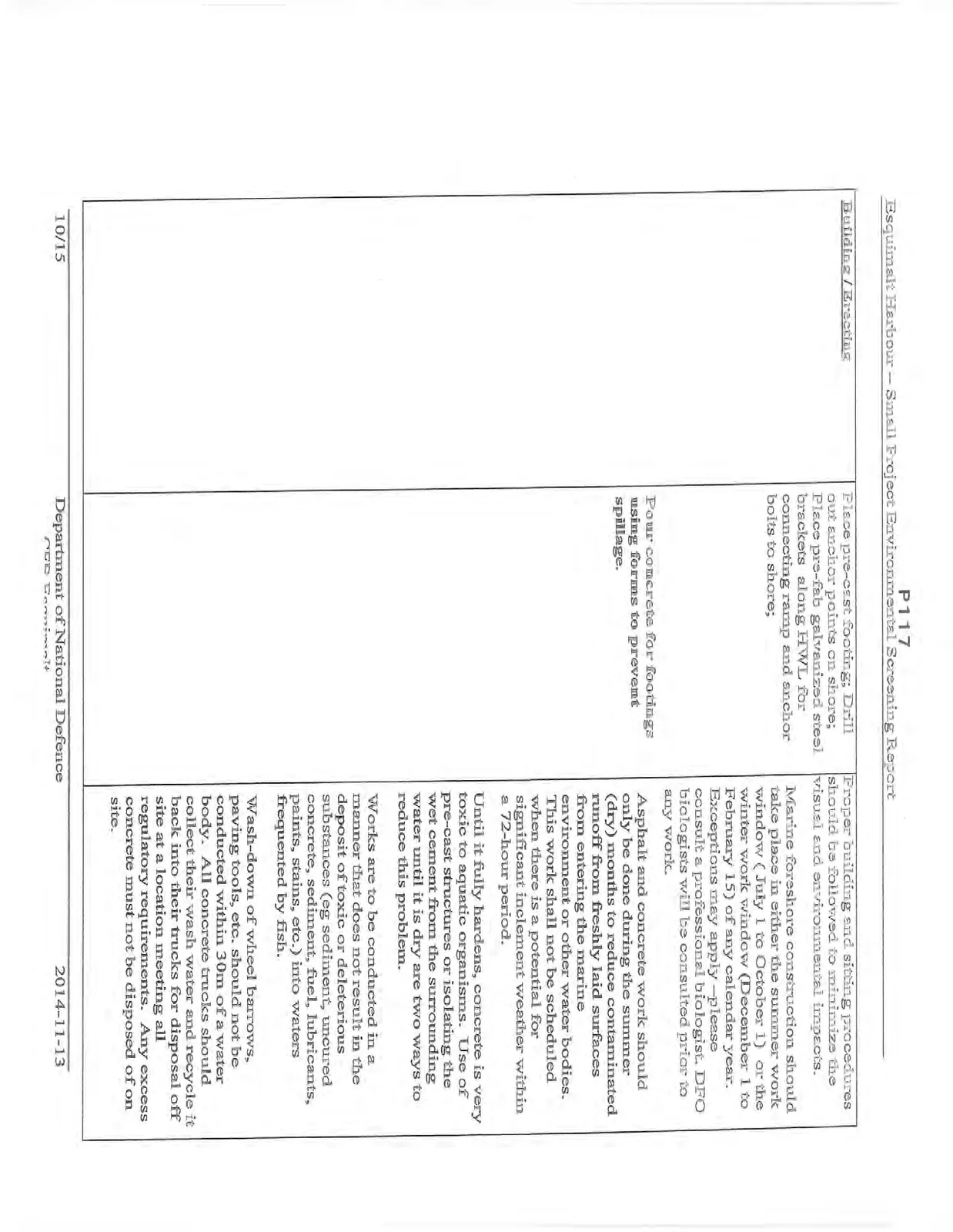
| Building / Erecting | Place pre-cast footing; Drill out anchor points on shore; Place pre-fab galvanized steel brackets along HWL for connecting ramp and anchor bolts to shore; Pour concrete for footings using forms to prevent spillage. | Proper building and sitting procedures should be followed to minimize the visual and environmental impacts. Marine foreshore construction should take place in either the summer work window (July 1 to October 1) or the winter work window (December 1 to February 15) of any calendar year. Exceptions may apply —please consult a professional biologist. DFO biologists will be consulted prior to any work. Asphalt and concrete work should only be done during the summer (dry) months to reduce contaminated runoff from freshly laid surfaces from entering the marine environment or other water bodies. This work shall not be scheduled when there is a potential for significant inclement weather within a 72-hour period. Until it fully hardens, concrete is very toxic to aquatic organisms. Use of pre-cast structures or isolating the wet cement from the surrounding water until it is dry are two ways to reduce this problem. Works are to be conducted in a manner that does not result in the deposit of toxic or deleterious substances (eg sediment, uncured concrete, sediment, fuel, lubricants, paints, stains, etc.) into waters frequented by fish. Wash-down of wheel barrows, paving tools, etc. should not be conducted within 30m of a water body. All concrete trucks should collect their wash water and recycle it back into their trucks for disposal off site at a location meeting all regulatory requirements. Any excess concrete must not be disposed of on site. |
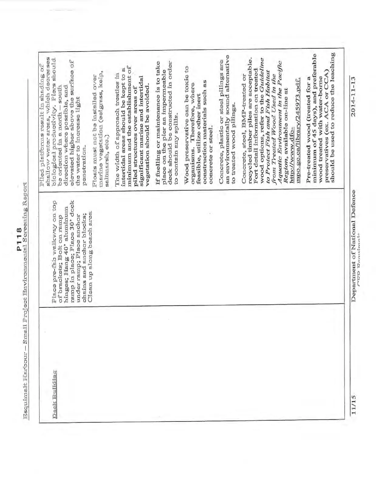
| Deck Building | Place pre-fab walkway on top of brackets; Bolt on ramp hinges; Hang 40' aluminum ramp in place; Place 30' dock under ramp; Place anchor chains and anchor blocks; Clean up along beach area. | Piled platforms result in shading of shallow water areas, which decreases biological productivity. Piers should be oriented in a north — south direction where possible, and elevated higher above the surface of the water to increase light penetration. Floats must not be installed over marine vegetation (eelgrass, kelp, saltmarsh, etc.) The width of approach trestles in intertidal areas should be kept to a minimum and the establishment of piled structures over areas of significant marine and intertidal vegetation should be avoided. If fuelling or maintenance is to take place on the pier an impermeable deck should be constructed in order to contain any spills. Wood preservative can be toxic to organisms. Therefore, where feasible, utilize other inert construction materials such as concrete or steel. Concrete, plastic or steel pilings are an environmentally sound alternative to treated wood pilings. Concrete, steel, BMP-treated or recycled timber piles are acceptable. For detail information on treated wood options, refer to the Guideline to Protect Fish and Fish Habitat from Treated Wood Used in the Aquatic Environment in the Pacific Region, available on-line at http://www.dfo-mpo.gc.ca/library/245973.pdf. Pre-treated wood (treated for a minimum of 45 days), and preferable wood treated with water-borne preservatives (ex. ACA or CCA) should be used to reduce the leaching. |
SIGNATURE PAGE
EA Report prepared by: Stephen Gormican, M.Sc., R.P.Bio September 22, 2014
EA Report accepted by: (Property Owner — Proponent for project) The undersigned accepts the determination and recommendations of this environmental screening report and agrees to implement all mitigation measures and recommendations as outlined within this report.
EA Report reviewed by: (CFB Esquimalt Federal Environmental Assessment Coordinator (FEAC))
EA Report approved by: (CFB Esquimalt Base Properties Officer) The undersigned approves the determination and recommendations of this environmental screening report.