Appendix: View Royal Official Community Plan Excerpt - Parks and Recreation
Excerpt from the 2011 OCP providing context on the town's current parks and recreation goals and policies.
PART 2 – SOCIAL ENVIRONMENT
6 | Parks and Recreation
OVERVIEW
Parks and recreation are defining characteristics of View Royal. Recreation spaces constitute a significant portion of the Town’s land, and support an active lifestyle close to nature. Many residents point to their proximity to multi-use trails, natural areas and parks as primary reasons for living in the community. Well-managed parks also contribute to the Town’s economic resiliency by attracting visitors, supporting eco-tourism, and making View Royal an attractive place to work and do business. As the Town matures, it is important to protect and enhance View Royal’s recreation resources, and to pursue new opportunities to meet the evolving needs of an increasingly diverse population.
GOALS:
- As the community grows, recognize the unique relationship between the highly valued natural and residential characteristics of View Royal, and maintain these values.
- Ensure that community services and amenities can be provided within the financial means of the municipality, and strengthen partnerships with regional service providers to increase local opportunities.
- Confirm View Royal as an environmentally responsible community committed to becoming a more sustainable place and planning for global climate change.
- Design and maintain parks and recreational spaces to encourage residents of all ages and abilities to enjoy a healthy, active lifestyle.
VIEW ROYAL TODAY
As a community, View Royal is well served by parks and recreation resources. More than 50 parks and water accesses account for approximately 40% of the municipality’s land base. The largest among these is Thetis Lake Regional Park. Over 540 hectares of the 835-hectare park are situated in View Royal. In addition to providing many unique recreation opportunities to local and regional residents, the park also serves to protect environmentally sensitive areas and natural features. The largest local park is the 6.6-hectare (16.3 acres) View Royal Park.
⁵ Information for this section was obtained from the Draft View Royal Parks and Trails Master Plan, April 2007.
Indoor and more structured recreation facilities are largely provided to residents through the Juan de Fuca Recreation Centre, located just outside of View Royal in Colwood. View Royal is one of six jurisdictions that contribute funds to the recreation centre. Residents can access a multitude of facilities and activities including an arena, pool, gym and studio space, sports fields and courts, community and seniors meeting rooms, curling, and a nine-hole golf course. Other recreation facilities frequented by View Royal residents include local schools and Pearkes Recreation Centre (in the District of Saanich).
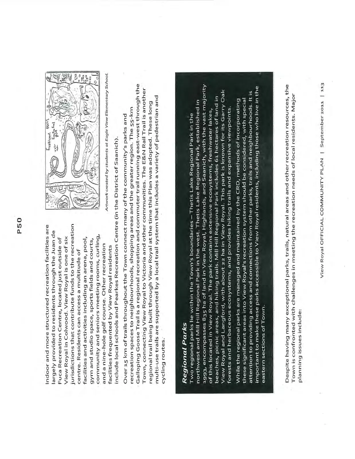
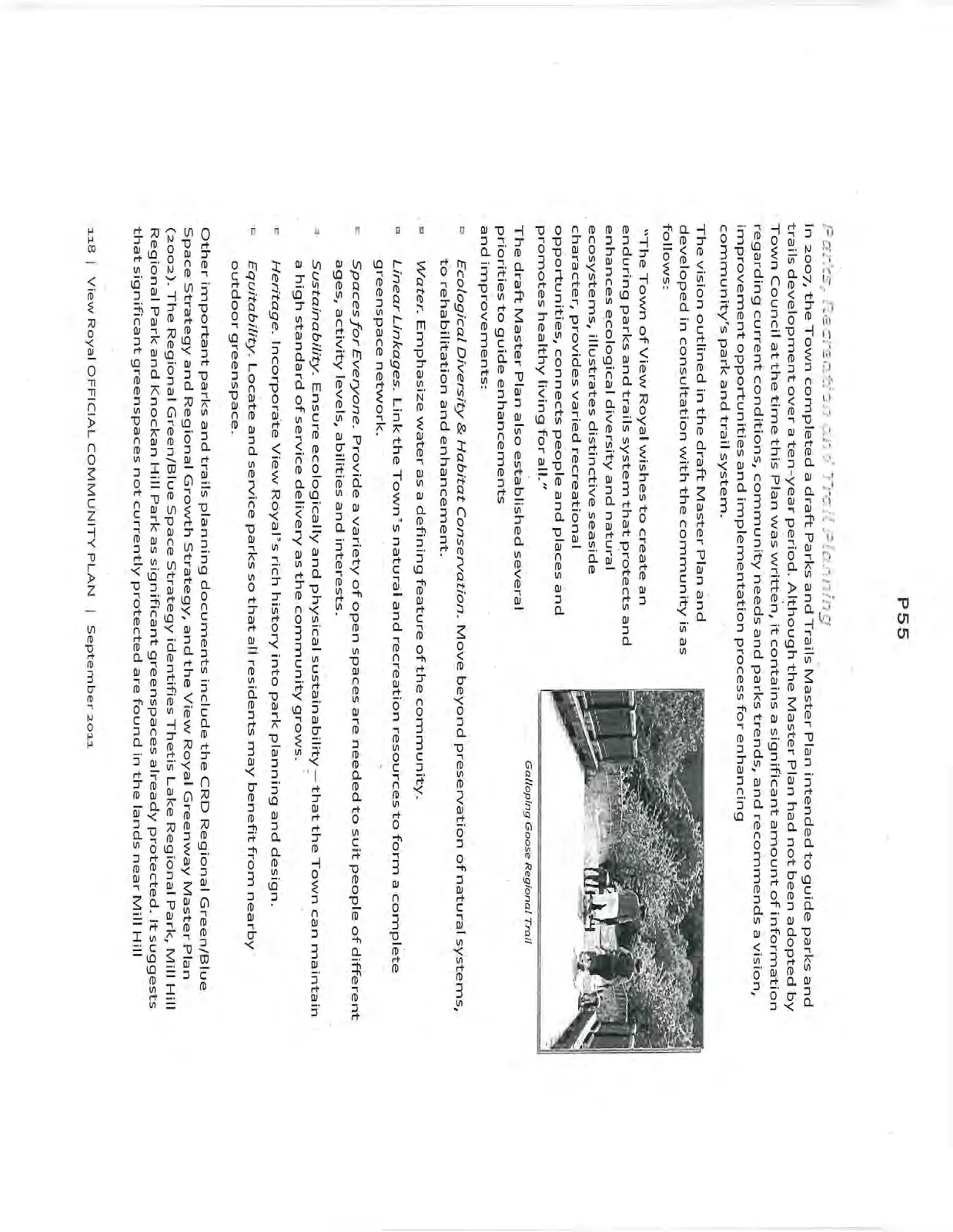
Over 15 km of trails throughout the Town connect many of the community’s parks and recreation spaces to neighbourhoods, shopping areas and the greater region. The 55-km Galloping Goose Trail is a regional recreation and commuter trail running east-west through the Town, connecting View Royal to Victoria and other communities. The E&N Rail Trail is another regional trail being built through View Royal at the time this Plan was adopted. These long multi-use trails are supported by a local trail system that includes a variety of pedestrian and cycling routes.
Regional Parks
Two regional parks lie within the Town’s boundaries – Thetis Lake Regional Park in the northwest and Mill Hill Regional Park in the west. Thetis Lake Regional Park, established in 1993, encompasses 835 ha of land in View Royal, Highlands, and Saanich, with the vast majority of this located in View Royal. The park contains extensive ecosystems, freshwater lakes, beaches, picnic areas, and hiking trails. Mill Hill Regional Park includes 61 hectares of land in View Royal and Langford, with about 22 ha in View Royal. This park is known for its Garry Oak forests and herbaceous ecosystems, and provides hiking trails and expansive viewpoints.
While the regional parks are managed and maintained by the CRD, methods of incorporating these significant areas into View Royal’s recreation system should be considered, with special attention to providing access and connections from other parks, trails and neighbourhoods. It is important to make these parks accessible to View Royal residents, including those who live in the eastern sections of Town.
Despite having many exceptional parks, trails, natural areas and other recreation resources, the Town is confronted with challenges in meeting the recreation needs of local residents. Major planning issues include:
- Underserved neighbourhoods. The distribution of parkland in View Royal is not equal throughout the Town. Several neighbourhoods lack sufficient park space and/or access to particular types of recreation facilities. The Hospital and Harbour Neighbourhoods in particular have very little parkland and is physically quite isolated from parks located south of the Trans-Canada Highway and in the northwest portion of the Town. Some neighbourhoods have an adequate amount of parkland but do not have park amenities or facilities designed to meet the needs of local residents. For example, some neighbourhoods are without play areas for small children or playing fields for older youth.
- Underserved demographic groups. On average, View Royal has a higher percentage of youth and families than elsewhere in the CRD. However, very few recreation spaces have been designed specifically for teenagers and several neighbourhoods continue to be underserved by play areas for young children. View Royal is also home to many older adults and seniors with their own unique health and recreation needs.
- Connectivity. Fragmentation due to the Trans-Canada Highway, Island Highway, E&N right-of-way and watercourses makes accessing nearby parks difficult for many residents. Residents in the eastern portion of the Town have the additional challenge of overcoming longer distances to access the regional parks and the Juan de Fuca Recreation Centre. Gaps in the trail system still exist that further isolate areas and obstruct non-vehicular transportation alternatives. Ecological connectivity is also a planning issue within View Royal recreation spaces. Parks and trails provide important habitat for plant species and wildlife. Natural connections between these spaces should be maintained to provide wildlife corridors, support biodiversity and ensure the overall integrity of the natural environment.
- Shoreline and water access. Most lands along Millstream and Craigflower Creeks and the shores of Portage Inlet and Esquimalt Harbour are under private ownership. Several of the existing publicly owned accesses are undeveloped, located in inaccessible locations, or do not provide amenities that encourage park use. However these watercourses and shoreline areas are valuable open space resources for the community. Some of these accesses have potential to be utilized in a manner that protects the fragile waterfront ecosystems, while providing public access to the shoreline.
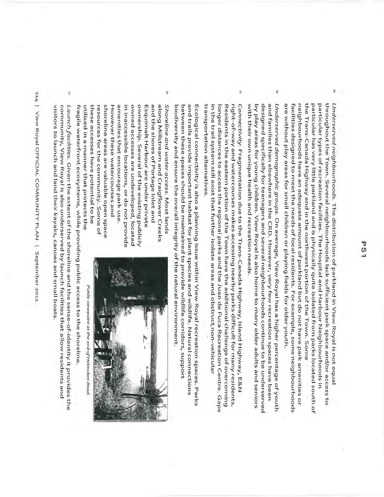
- Launch facilities. Given the extent of the shoreline and the sense-of-identity it provides the community, View Royal is also underserved by launch facilities that allow residents and visitors to launch and land their kayaks, canoes and small boats.
- Community gathering place. The planning process identified a need for a large, outdoor public space for hosting community events, festivals, farmers markets and other gatherings that brings together broad sections of the community. View Royal Park, Centennial Park and Portage Park were all mentioned as existing public spaces that could be better designed to facilitate large gatherings and special events. Future opportunities for this type of public space were also identified at Thetis Cove and Town Centre Change Areas.
- Fiscal Sustainability. Developing parks and recreation facilities, and providing amenities and upkeep is resource intensive. The Town will need to look for funding and partnership opportunities, and set investment priorities in order to maintain high standards expected by the community.
Park Classifications
For the purpose of acquiring parks and open space through the development and subdivision process, the demand for park space has been classified according to the five types of parks. Each of the five types of parks has a different function and serves a different user group. It is important that all neighbourhoods have access to the various types of parks, and that there are pedestrian pathways and natural open space linkages between the parks.
Town Park
Large parks with a variety of active recreational facilities that serve the entire population of the municipality. They also provide passive recreation areas, often with special natural features. View Royal Park is an example of this type of park.
Community Park
Parks approximately 4 to 6 hectares (10 to 15 acres) in size, which offer active and passive open space to several neighbourhoods, and some recreational facilities.
Neighbourhood Park
Local parks of approximately 0.5ha to 2ha (1.25 to 5 acres), which provide playfields, children’s playgrounds, and passive recreation within a walking distance of about .8 kilometres (one-half mile). Where possible, neighbourhood parks should be located adjacent to elementary schools.
Neighbourhood Greenspace
Small parks and open spaces usually less than 0.4 hectare (1 acre) which may offer children’s playground equipment or passive seating areas within residential areas. In some cases, these mini-parks are dedicated to the Town during subdivision development. Other mini-parks are created within multiple family developments, and ownership and maintenance remains in the private sector.
Natural Greenspace
Natural greenspace includes areas that remain undeveloped by virtue of natural features, such as watercourses, ravines, steep slopes, unstable soil conditions, or unique characteristics. The recreational use of natural open space is usually limited to passive enjoyment and informal pedestrian routes. The Galloping Goose Parkway and large parts of Thetis Lake Park are natural greenspaces.
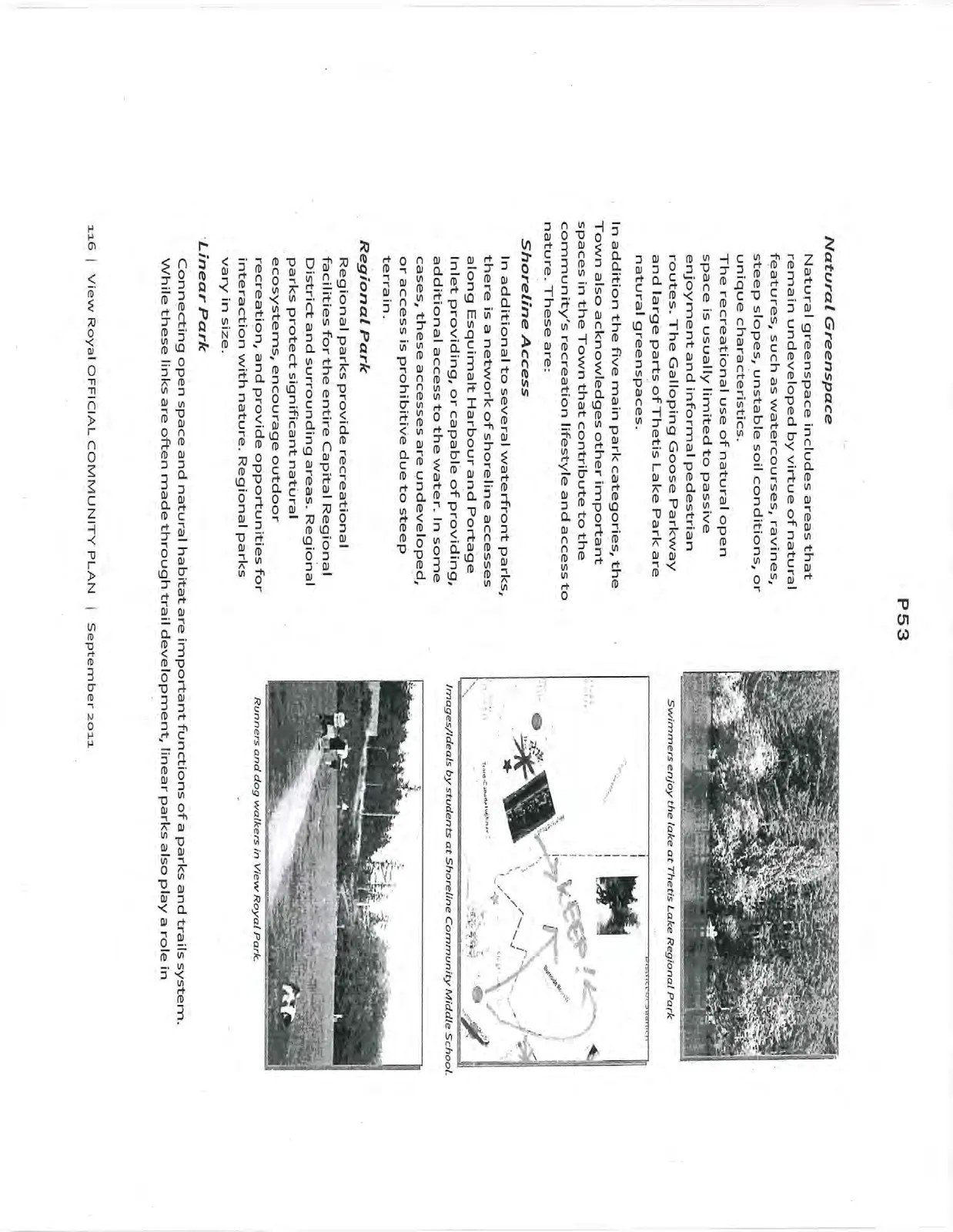
In addition to the five main park categories, the Town also acknowledges other important spaces in the Town that contribute to the community’s recreation lifestyle and access to nature. These are:
Shoreline Access
In additional to several waterfront parks, there is a network of shoreline accesses along Esquimalt Harbour and Portage Inlet providing, or capable of providing, additional access to the water. In some cases, these accesses are undeveloped, or access is prohibitive due to steep terrain.
Regional Park
Regional parks provide recreational facilities for the entire Capital Regional District and surrounding areas. Regional parks protect significant natural ecosystems, encourage outdoor recreation, and provide opportunities for interaction with nature. Regional parks vary in size.
Linear Park
Connecting open space and natural habitat are important functions of a parks and trails system. While these links are often made through trail development, linear parks also play a role in providing connections, walking and hiking opportunities, and wildlife corridors. Parsons Bridge Park along Esquimalt Harbour is an example of a linear park.
Public School
Schools have an important role in providing learning and recreation space to local students during school hours, and community access to sports fields and playgrounds on weekends and evenings. The three public schools in View Royal are owned and maintained by the Greater Victoria School District.
Special Purpose Areas
Special purpose areas cover points of interest including historical, cultural, and social attractions, within the community. These points of interest appeal to residents and visitors alike. Within View Royal, Craigflower Manor is a historical special purpose area.
Trail Classifications
Four types of trails and trail connections compose the trail network in View Royal.
Multi-Use Trail
Multi-use trails are pathways suitable for both walking and cycling. These trails are separate from roads and adjacent land uses. Generally, these paths are at least two metres wide and are part of a larger system that connects to significant destinations. Multi-use trails are used by local residents, visitors, and tourists for recreation and commuting.
Walking/Hiking Trail
Walking/hiking trails provide pedestrian access within parks, natural areas and neighbourhoods. Walking/hiking trails can vary in width from less than one metre to more than three metres. These trails provide recreational opportunities and alternative travel options.
Sidewalk
While sidewalks are not trails in a traditional sense, they play a key role in View Royal’s overall pedestrian network. They are separated from vehicular lanes by boulevards and/or curbs, are surfaced with concrete or asphalt and are usually 1.5 to 2 metres wide. They can connect trails and can run along road rights-of-way without encroaching on private property.
Shared Roadway
Shared roadways are routes that incorporate pedestrian and/or cycling movement with vehicular traffic. There are two types:
- Quiet residential or rural roads that provide pleasant cycling and walking opportunities.
- Highways that have wide paved and maintained shoulders, used especially by cyclists.
Parks, Recreation and Trail Planning
In 2007, the Town completed a draft Parks and Trails Master Plan intended to guide parks and trails development over a ten-year period. Although the Master Plan had not been adopted by Town Council at the time this Plan was written, it contains a significant amount of information regarding current conditions, community needs and parks trends, and recommends a vision, improvement opportunities and implementation process for enhancing community’s park and trail system.
The vision outlined in the draft Master Plan and developed in consultation with the community is as follows:
"The Town of View Royal wishes to create an enduring parks and trails system that protects and enhances ecological diversity and natural ecosystems, illustrates distinctive seaside character, provides varied recreational opportunities, connects people and places and promotes healthy living for all."
The draft Master Plan also established several priorities to guide enhancements and improvements:
- Ecological Diversity & Habitat Conservation. Move beyond preservation of natural systems, to rehabilitation and enhancement.
- Water. Emphasize water as a defining feature of the community.
- Linear Linkages. Link the Town’s natural and recreation resources to form a complete greenspace network.
- Spaces for Everyone. Provide a variety of open spaces are needed to suit people of different ages, activity levels, abilities and interests.
- Sustainability. Ensure ecologically and physical sustainability – that the Town can maintain a high standard of service delivery as the community grows.
- Heritage. Incorporate View Royal’s rich history into park planning and design.
- Equitability. Locate and service parks so that all residents may benefit from nearby outdoor greenspace.
Other important parks and trails planning documents include the CRD Regional Green/Blue Space Strategy and Regional Growth Strategy, and the View Royal Greenway Master Plan (2002). The Regional Green/Blue Space Strategy identifies Thetis Lake Regional Park, Mill Hill Regional Park and Knockan Hill Park as significant greenspaces already protected. It suggests that significant greenspaces not currently protected are found in the lands near Mill Hill Regional Park and the lands north of Thetis Lake Regional Park. It points out blue spaces that require protection, including the mouth of Millstream Creek, the creek itself, Portage Inlet and Craigflower Creek.
OBJECTIVES AND POLICIES
The objectives and policies in this section will guide Town planning decisions related to parks and recreation.
OBJECTIVE PR1
Provide a variety of parks and recreation amenities that meet the diverse social and recreational needs of current and future residents.
Policy PR1.1 Neighbourhood Greenspace
Provide each neighbourhood with easily accessible greenspace to meet the social and recreational needs of local residents.
Prioritize parkland acquisition and improvements in neighbourhoods with an identified shortage of greenspace, such as the Hospital and Harbour Neighbourhoods, or where current parks lack amenities necessary for meeting residents’ needs.
Needs and priorities should be identified in a Parks and Trails Master Plan that is regularly updated through a public consultation process. Special attention should be given to underserved demographic groups, such as children and teenagers, and other groups with unique recreation and access needs.
Policy PR1.2 Accessibility
Remove barriers and improve access, including ease of access for seniors, people with disabilities and small children, to all parks, recreational facilities, public waterfront areas, viewpoints and greenways while remaining sensitive to the preservation of natural habitat areas.
Support the incorporation of universal design standards into all parks and recreation facilities, including outdoor play areas for children.
Policy PR1.3 Youth Recreation
Increase the number of recreation opportunities for youth throughout View Royal. Encourage the development of new facilities as well and improvements to existing assets. Potential improvements may include:
- Additional playing fields, basketball courts and active outdoor recreational facilities.
- New mountain bike trails.
- A skateboard or bike park.
- Additional play equipment, including climbing walls.
- Beach and shoreline facilities.
- Interactive water features, swimming facilities or waterpark.
- Asphalt hockey or lacrosse court.
Youth oriented facilities should be prioritized in neighbourhoods with high percentages of young families and/or where a school is located, such as the Helmcken, Craigflower and Atkins neighbourhoods. Facilities intended for teen use should be planned to be accessible via transit.
Policy PR1.4 Parkland Standard
As a broad guideline, use a minimum standard of 5.0 hectares (10 acres) of parkland per 1,000 people, and neighbourhood/community parks at a ratio of one hectare (2 acres) for each 1,000 people, excluding regional parks and schools, while considering other significant factors affecting acquisition.
Policy PR1.5 Parkland and Recreation Facilities Acquisition and Development
Consider and use the following methods and strategies to acquire, improve and maintain parks and recreation facilities that meet the needs of current and future residents.
- Levy Development Cost Charges at the time of subdivision or building permit for the purpose of providing and improving parkland (Section 933, Local Government Act).
- Depending on the circumstances, at the time of subdivision of land, either acquire parkland of an amount and in a location acceptable to the Town, or secure an amount that equals the market value of the land (Section 941, Local Government Act).
- Acquire parkland or recreational facilities as an amenity in exchange for rezoning a property that entitles the owner to a higher density than generally applicable for the zone (Section 904, Local Government Act).
- Acquire park improvements or recreational facilities in partnerships with other organizations and levels of government. This may include providing Town-owned land as an incentive for external investments.
- Protect natural greenspace and habitats through covenants and easements held by third parties, such as an environmental charity.
Policy PR1.6 Neighbourhood Priorities
The type of park or greenspace to be acquired through any of the methods and strategies set out in Policy PR1.5 should be defined in response to ecological, social and recreational priorities for each neighbourhood and in accordance with Policy PR1.1.
Policy PR1.7 Minimum size at Time of Subdivision
In relation to the parkland dedication, at the time of subdivision the minimum area must be 1,000 (contiguous) square metres in a location suitable to the Town. If this is not achievable, cash in lieu of land will be required by the Town.
Policy PR1.8 Juan de Fuca Recreation Centre
Continue to support the Town's inter-municipal facility sharing agreement for the Juan de Fuca Recreation Centre. Explore options for increasing local benefits from this partnership.
Policy PR1.9 Facility Sharing and Partnerships
Consider cost sharing recreational facilities on an inter-municipal basis when:
- It is not economical for the Town to independently develop and manage recreational facilities.
- It is determined to be in the overall best interests of the Town.
Policy PR1.10 Sustainable Investments
Ensure that recreation investments are sustainability over the long-term and that the Town is able to maintain high quality parks and facilities.
Policy PR1.11 Safety and Crime Prevention
Support the safety and comfort of parks and recreation facility users by employing best practices for crime prevention, play equipment safety, natural and active surveillance, and public awareness information.
OBJECTIVE PR2
Create an integrated network of parks and trails that facilitate connectivity between Neighbourhood Centres, Community Corridors, neighbourhoods, recreation areas and schools.
Policy PR2.1 Connectivity
Encourage improved connections between parks, greenspaces, recreation facilities, schools and residential areas via linear parks, public trails, transit, and sidewalk connections. Support the establishment of multi-use corridors that connect neighbourhoods with other areas of the Town and the regional trail system.
Recognize that improved connections to parks and recreation facilities will better integrate these assets into the community, increase the walkability of the Town and promote healthy lifestyles. Also recognize that parks themselves can serve as connectors and links between neighbourhoods and residential areas. Ensure park entries and pathways are designed to connect and benefit all adjacent areas.
Policy PR2.2 Connect Major Facilities
On a town-wide basis, prioritize improving connections to the Juan de Fuca Recreation Centre, Thetis Lake Regional Park and View Royal Park so that all residents have access to and a sense of ownership of these public assets.
OBJECTIVE PR3
Increase public access to the water and shoreline to provide all residents opportunities to enjoy these natural features.
Policy PR3.1 Water and Shoreline Access
Identify and develop public accesses to the water, beach, shoreline areas and significant viewpoints. Planning considerations for development of water and shoreline accesses include:
- Avoiding or minimizing ecological impacts. This may necessitate excluding people and dogs from vegetated shoreline buffers.
- Ensuring safety, convenience, accessibility and good wayfinding.
- Prioritizing accesses in areas where access is currently most limited or where the greatest public benefit can be achieved.
- Creating connections to other parks and trails.
Policy PR3.2 Waterfront Development Sites
In reviewing development proposals for waterfront sites, encourage new public water and shoreline accesses, parks and boat launches. This includes, but is not limited to, future development at Thetis Cove.
Policy PR3.3 Public Boat Launches
Support the establishment of public launches for non-motorized boats at public waterfront access points. Opportunities for new public launches should be pursued at sites currently owned by the municipality as well as other sites. Boat launch planning should occur in consultation with local residents.
Policy PR3.4 Public Waterfront Walkways
Continue to seek opportunities to establish public waterfront walkways along Esquimalt Harbour between Portage Park and the boundary with the City of Colwood.
OBJECTIVE PR4
Identify and develop spaces for large, outdoor events, festivals, farmers markets and other community gatherings.
Policy PR4.1 View Royal Park
Support the redevelopment of View Royal Park as the primary town park. In addition to providing for a range of recreation activities that will attract a broad section of the community, ensure that there is sufficient space and amenities to facilitate large community gatherings such as festivals and group picnics.
Policy PR4.2 Social Gathering Places
Support the development of social gathering places in larger parks and public areas, and as part of large development proposals, including Thetis Cove and the future Town Centre.
OBJECTIVE PR5
Protect and restore ecologically sensitive areas and features within the parks and trail system to ensure the integrity of the natural environment, maintain the natural setting, and preserve these features for the appreciation of future generations.
Policy PR5.1 Green and Blue Spaces
Acquire, develop, manage and preserve various forms of green/blue spaces in suitable locations throughout the Town that meet the needs of both present and future View Royal residents.
Policy PR5.2 Environmentally Sensitive Areas
Continue to identify and review Environmentally Sensitive Areas (ESA) to ensure that these areas are adequately protected within Development Permit Areas (DPA). Periodically update DPA guidelines to respond to new scientific information and incorporate best practices.
Policy PR5.3 Ecologically Sensitive Planning and Design
Support ecologically sensitive park/trail planning and design. Planning consideration to include:
- Maintaining biodiversity and natural features.
- Designing with natural networks and systems. This includes respecting existing terrain and drainage patterns, and identifying the least intrusive approaches to facilitating recreation needs.
- Providing a context for learning and understanding the natural systems within the Town.
Policy PR5.4 Sound Parks Management and Construction Practices
Protect ecosystems in natural parks through sensitive management and minimal construction, ensuring that any works shall be carried out in an environmentally sensitive manner with proper professional consultation.
Policy PR5.5 Parks and Environmental Health
Recognize and support parks as contributors to the environmental health of View Royal and the region through stormwater management, riparian area protection, climate change adaptation and mitigation, increased shade and CO₂ sinks.
Policy PR5.6 Parks and Population Health
Recognize and support parks as contributors to the overall health and well-being of View Royal and regional residents by providing opportunities for fitness and passive enjoyment.
Policy PR5.7 Integrate Parks and Recreation Planning
Ensure park and recreation planning is integrated with broader Town planning efforts, land use and transportation decisions, and public realm planning and design.
Policy PR5.8 Invasive Species Removal and Habitat Restoration
Support the rehabilitation of areas degraded by invasive plants and species, and the restoration of native vegetation. When possible, employ preventative measures to protect native habitat within View Royal parks.
IMPLEMENTING ACTIONS
ACTION PR1
Update and adopt the draft Parks and Trails Master Plan. The Master Plan should incorporate strategies for including and connecting parks with the Neighbourhood Centres, Community Corridors and Town Centre site. Other revisions should include:
- Identification of specific neighbourhood parks, trails and recreation priorities.
- Prioritization of investments and initiatives.
- Updated direction on removal of invasive species within parks.
ACTION PR2
Seek cooperative capital funding for parks and recreation improvements that may include federal or provincial funding, private donations, service clubs, conservation organizations and business.
ACTION PR3
Work with the CRD and Provincial Capital Commission in the implementation of the Regional Green/Blue Spaces Strategy.
ACTION PR4
Review the Development Cost Charges Bylaw, based on the updated Parks and Trails Master Plan, to help recover a portion of the cost of acquiring and improving parks and trails.
ACTION PR5
Work with adjacent municipalities and other agencies to develop a greenbelt system for the West Shore and Urban Core areas of the region.
Document Images
(9)