This site is in beta — data may be incomplete and features are still being added.
Committee of the Whole/Documents/Appendix: Street View Photos and Zoning Map
Appendix

Appendix: Street View Photos and Zoning Map

June 9, 2015Pages 103–1053 sections

Visual aids including Google Street View imagery of 148 Atkins Road and a regional zoning map.

2. APPROVAL OF AGENDA
Street View Date: June 2014Zoning context includes R-1 and CD-16 zones

148 Atkins Rd

View Royal, British Columbia

Street View - Jun 2014
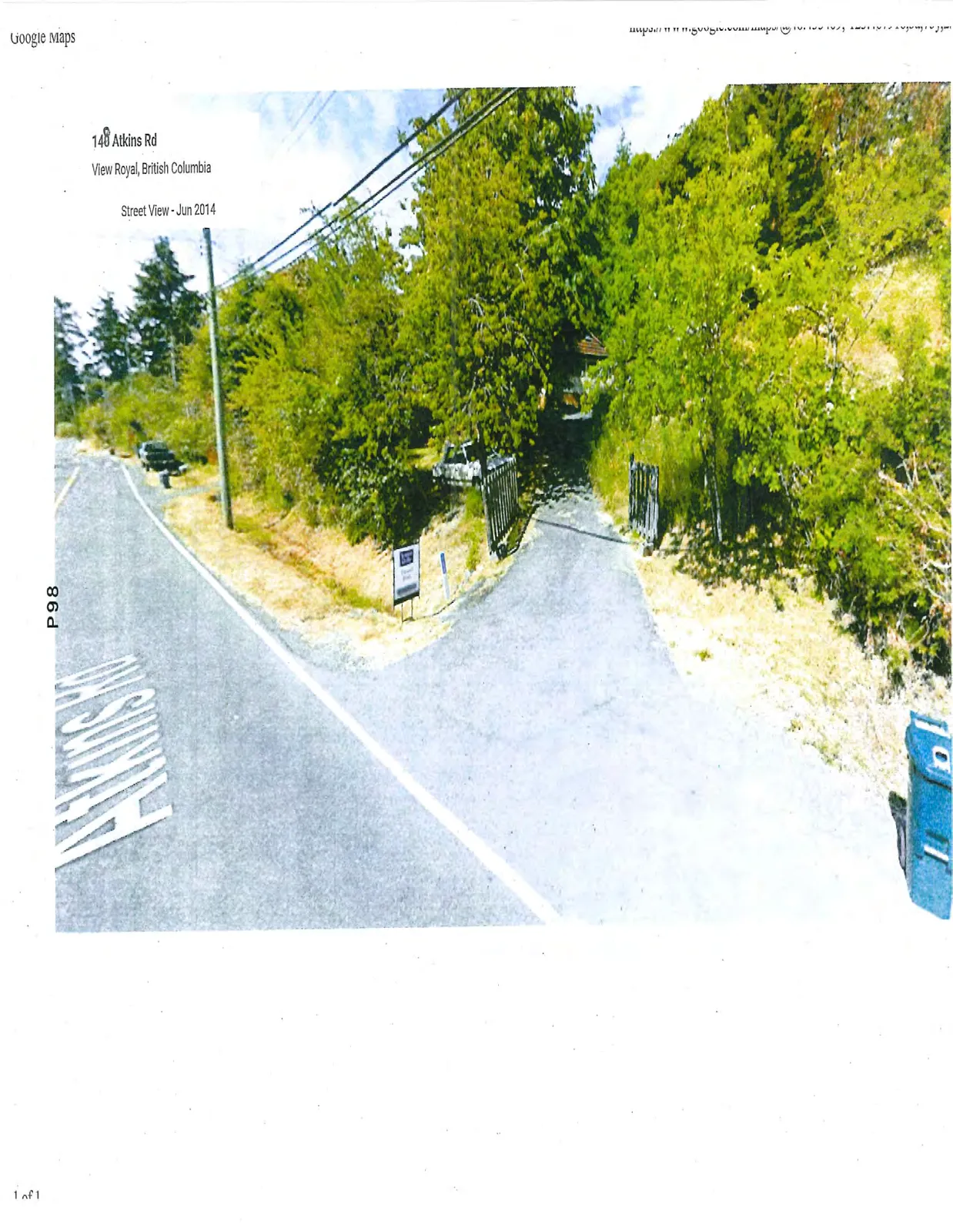
Street view photograph of the driveway entrance at 148 Atkins Rd, featuring a small sign, a wooden gate, and dense trees alongside the road.
Page 103–105

148 Atkins Rd

View Royal, British Columbia

Street View - Jun 2014
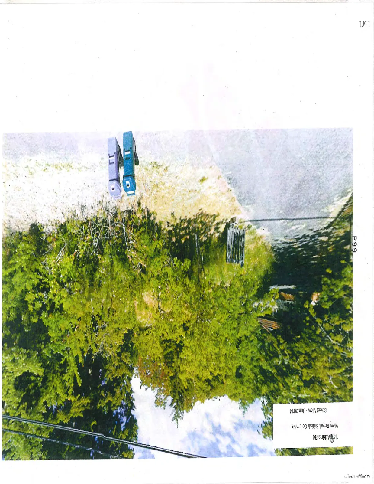
Street view photograph showing the roadside area of 148 Atkins Rd with two waste collection bins (one blue, one purple) situated near thick foliage.
Page 103–105

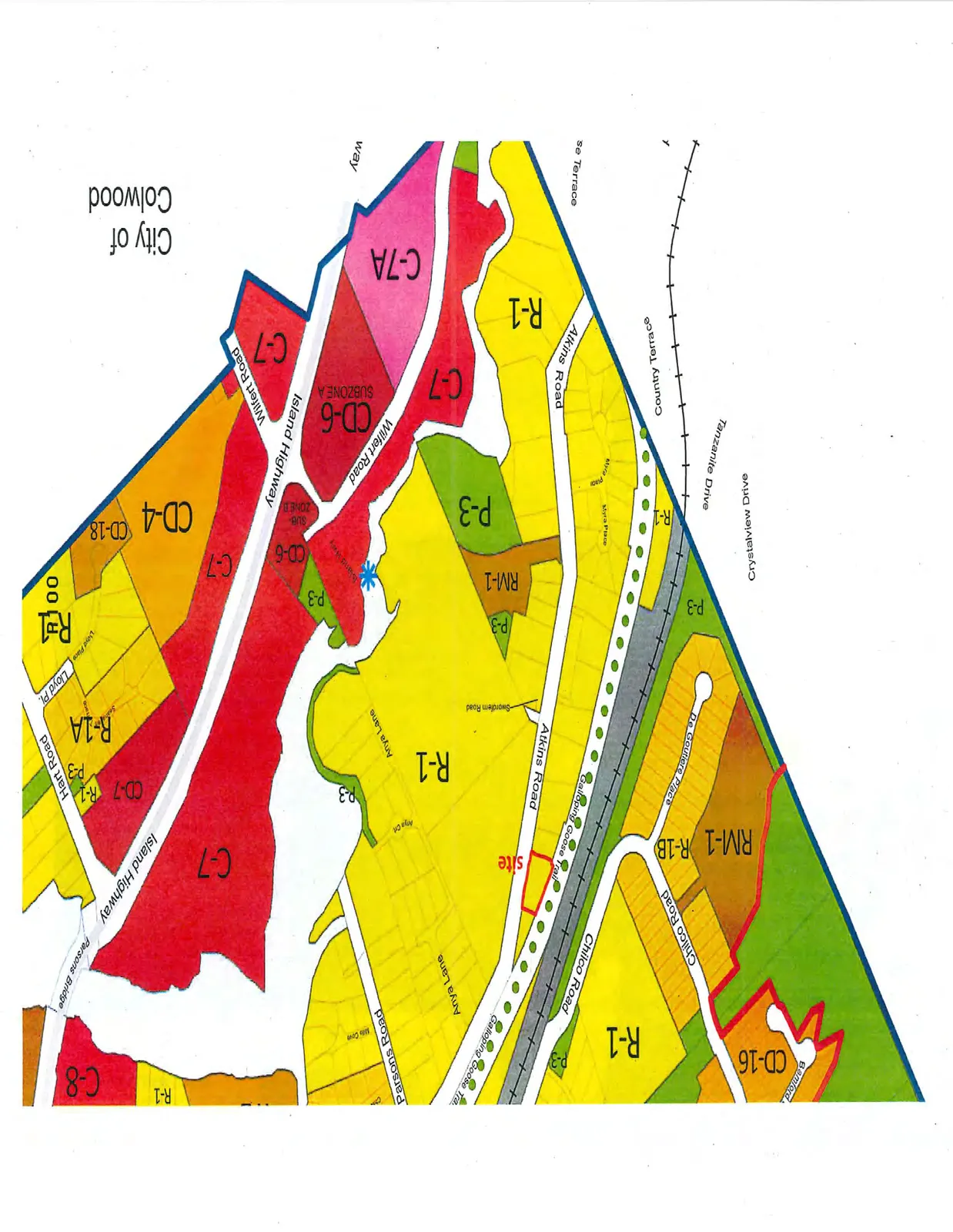
Area Zoning Map

Detailed color-coded zoning map highlighting a "site" on Atkins Road. The map shows the following landmarks and zones:
*   **Subject Site:** Located on Atkins Road, adjacent to the Galloping Goose Trail.
*   **Streets:** Atkins Road, Island Highway, Parsons Road, Anya Lane, Chilco Road, Wilfert Road, Hart Road, Swordfern Road, Myra Place, and De Goutere Place.
*   **Zoning Designations:** R-1, RM-1, P-3, C-7, C-7A, CD-6 (Subzone A and B), CD-4, CD-16, and CD-18.
*   **Key Features:** Galloping Goose Trail, Parsons Bridge, and the boundary for the City of Colwood.
Detailed color-coded zoning map highlighting a "site" on Atkins Road. The map shows the following landmarks and zones: * **Subject Site:** Located on Atkins Road, adjacent to the Galloping Goose Trail. * **Streets:** Atkins Road, Island Highway, Parsons Road, Anya Lane, Chilco Road, Wilfert Road, Hart Road, Swordfern Road, Myra Place, and De Goutere Place. * **Zoning Designations:** R-1, RM-1, P-3, C-7, C-7A, CD-6 (Subzone A and B), CD-4, CD-16, and CD-18. * **Key Features:** Galloping Goose Trail, Parsons Bridge, and the boundary for the City of Colwood.
Page 103–105
Extracted from: 2015 06 09 Committee of the Whole Agenda