Environmental Assessment - 347 and 349 Old Island Highway
Technical report by Osiris Wildlife Consulting evaluating the impact on local flora and fauna, specifically Garry Oak Woodland.
ENVIRONMENTAL ASSESSMENT
347 and 349 Old Island Highway plus the adjacent former BC Hydro Right-of-Way
Report to Town of View Royal
Dec 28, 2011
by Bill Harper, RPBio Osiris Wildlife Consulting Victoria, BC
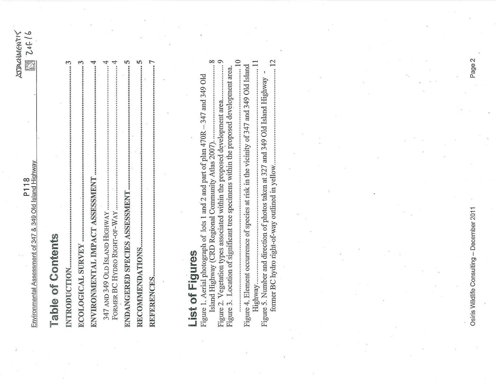
Table of Contents
- INTRODUCTION... 3
- ECOLOGICAL SURVEY... 3
- ENVIRONMENTAL IMPACT ASSESSMENT... 4
- 347 AND 349 OLD ISLAND HIGHWAY... 4
- FORMER BC HYDRO RIGHT-OF-WAY... 4
- ENDANGERED SPECIES ASSESSMENT... 5
- RECOMMENDATIONS... 5
- REFERENCES... 7
List of Figures
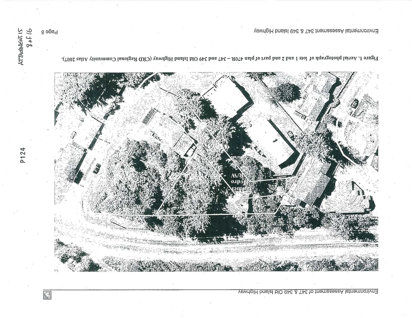
- Figure 1. Aerial photograph of lots 1 and 2 and part of plan 470R – 347 and 349 Old Island Highway (CRD Regional Community Atlas 2007)... 8
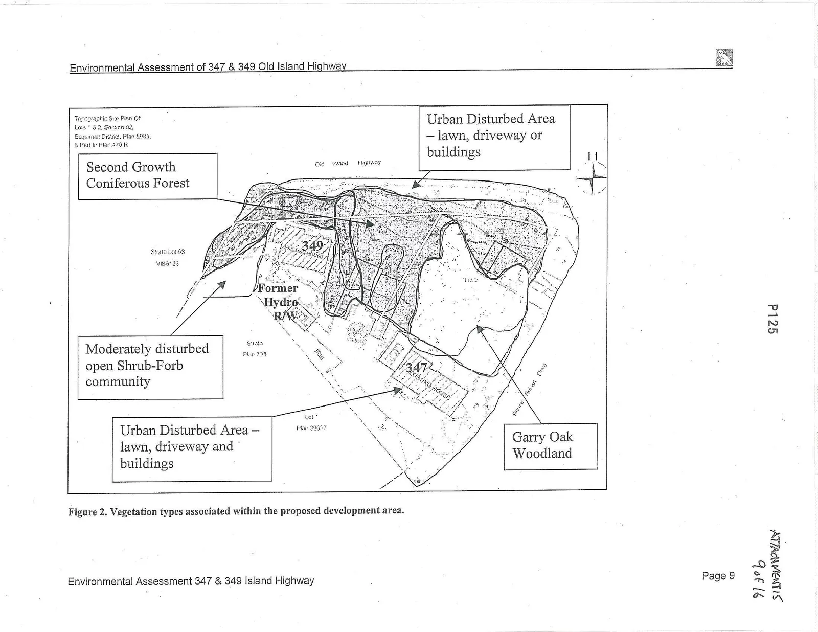
- Figure 2. Vegetation types associated within the proposed development area... 9
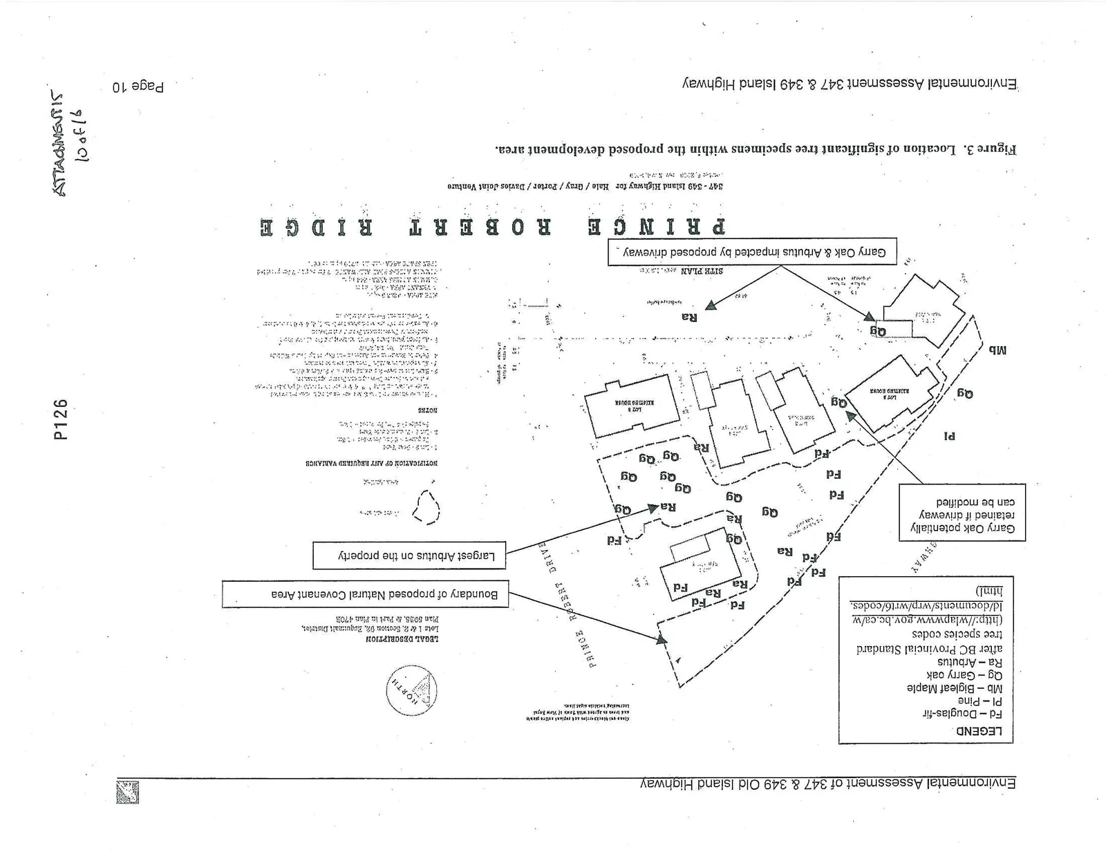
- Figure 3. Location of significant tree specimens within the proposed development area... 10
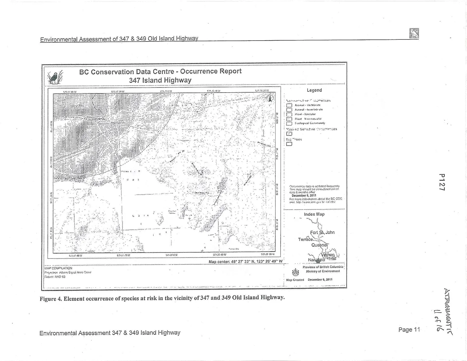
- Figure 4. Element occurrence of species at risk in the vicinity of 347 and 349 Old Island Highway... 11
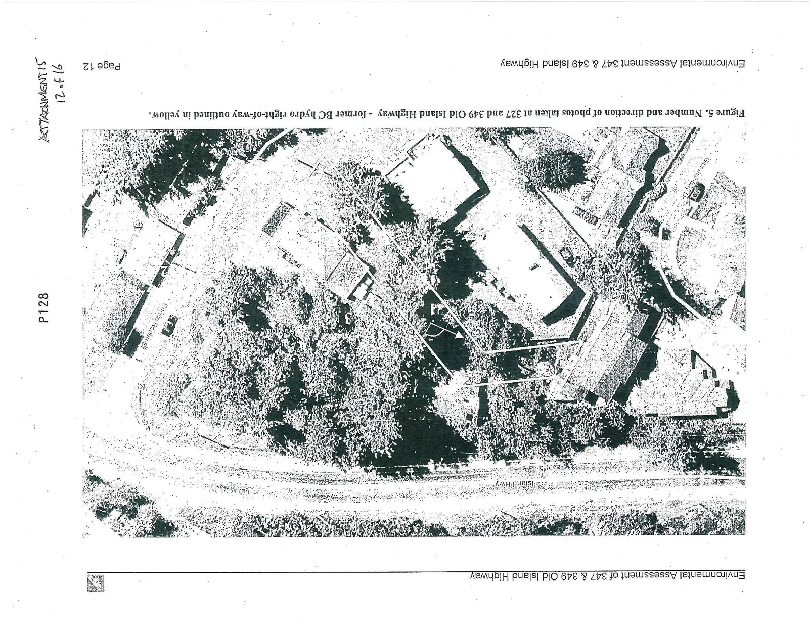
- Figure 5. Number and direction of photos taken at 327 and 349 Old Island Highway - former BC hydro right-of-way outlined in yellow... 12
Introduction
This report presents the results of an environmental assessment undertaken by Bill Harper, RPBio at the request of the Town of View Royal and David Hale. The properties were initially assessed in 2007 and were re-visited in 2011. They include Lots 1 and 2, part of plan 470R and the former BC Hydro right-of-way adjacent, located at 347 and 349 Old Island Highway at the corner of Prince Robert Drive in the Town of View Royal (Figure 1).
Within the proposed development area the predominant ecosystem type that is in natural condition is second growth Douglas-fir forest, with drier shrubby communities of Garry Oak and Arbutus associated with rocky outcrops (Figure 2).
Consistent with the Town of View Royal’s Environmental and Social Review Guidelines, potential environmental impacts associated with plant life, animal life and aquatic ecosystems were evaluated.
There are no aquatic ecosystems directly impacted by the proposed development. As well, due to the size of the development footprint and the amount of natural vegetation that is proposed to be maintained downslope, no indirect negative impacts to aquatic ecosystems are anticipated from the proposed development provided standard erosion and sediment control measures are used during construction (see Recommendations).
Ecological Survey
The site was surveyed August 30 on September 27, 2007 and re-visited on November 15, 2011 and the vegetation communities were classified and mapped according to standard site series classification (Green and Klinka 1994).
There are four main vegetative communities present on the subject properties (Figure 2). The southwestern half of the properties involved (including the former BC Hydro right-of-way) does not support natural plant communities. This area is dominated by two existing houses, lawns, walkways, and an asphalt driveway and parking areas (Figure 2). There is also a very large Arbutus (dbh 80 cm) adjacent to the driveway and a twin Garry Oak in the lawn next to one of the existing houses. This area was classified as Urban Disturbed in Figure 2.
The farthest east corner of the former BC Hydro right-of-way is classified as a moderately disturbed Open Shrub-Forb community (Figure 2). This area was cleared years ago for hydro lines that are no longer there. It supports a mix of native and alien weed species.
The thickly forested portion of the area is classified as minimally disturbed Second Growth Douglas-fir Forest (Figure 2). This zonal (Site Series 01) Douglas-fir forest has had minimal disturbance since it was logged many years ago, and supports an understory vegetation typical of the Coastal Douglas-fir moist maritime (CDFmm) biogeoclimatic zone (Green and Klinka 1994).
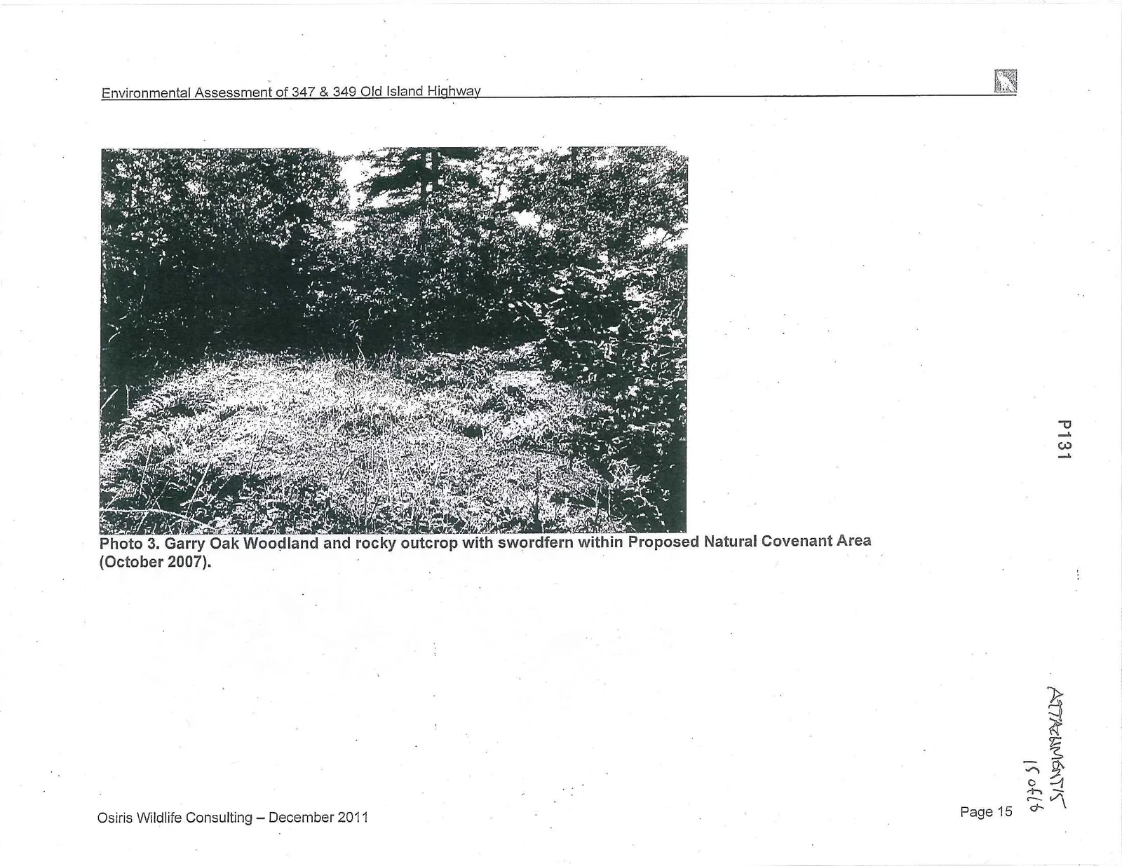
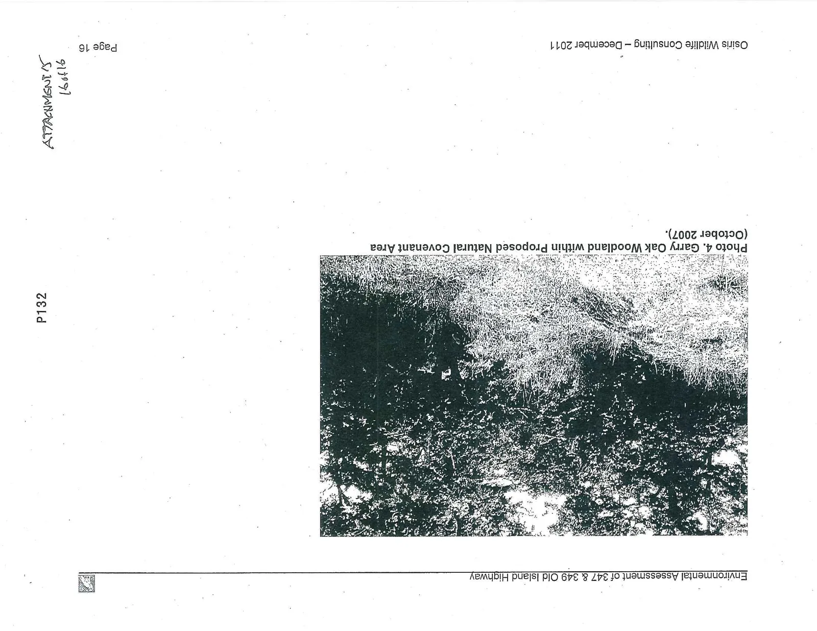
The most environmentally important ecosystem is the Garry Oak Woodland that is restricted to the lot associated with 347 Old Island Highway (Figure 2). This Garry Oak meadow is minimally disturbed and supports an understory vegetation typical of Site Series 03 of the Coastal Douglas-fir moist maritime (CDFmm) biogeoclimatic zone (Green and Klinka 1994) (see Appendix 1 – Photos 3 and 4). The relatively large coverage of swordfern (Polystichum munitum) indicates this is a relative rich (although dry) site. Due to the limited extent of remaining habitat, all extant Garry oak and associated ecosystems warrant conservation consideration (National Garry Oak Recovery Team 2002).
Environmental Impact Assessment
347 and 349 Old Island Highway
The Site Plan dated October 5, 2009 (revised November 4, 2009) proposes to develop the property for a total of 6 houses (4 new and 2 existing – see Figure 3). As well, as Restrictive Natural Area Covenant is proposed to cover a large proportion of the Garry Oak Woodland identified in Figure 2.
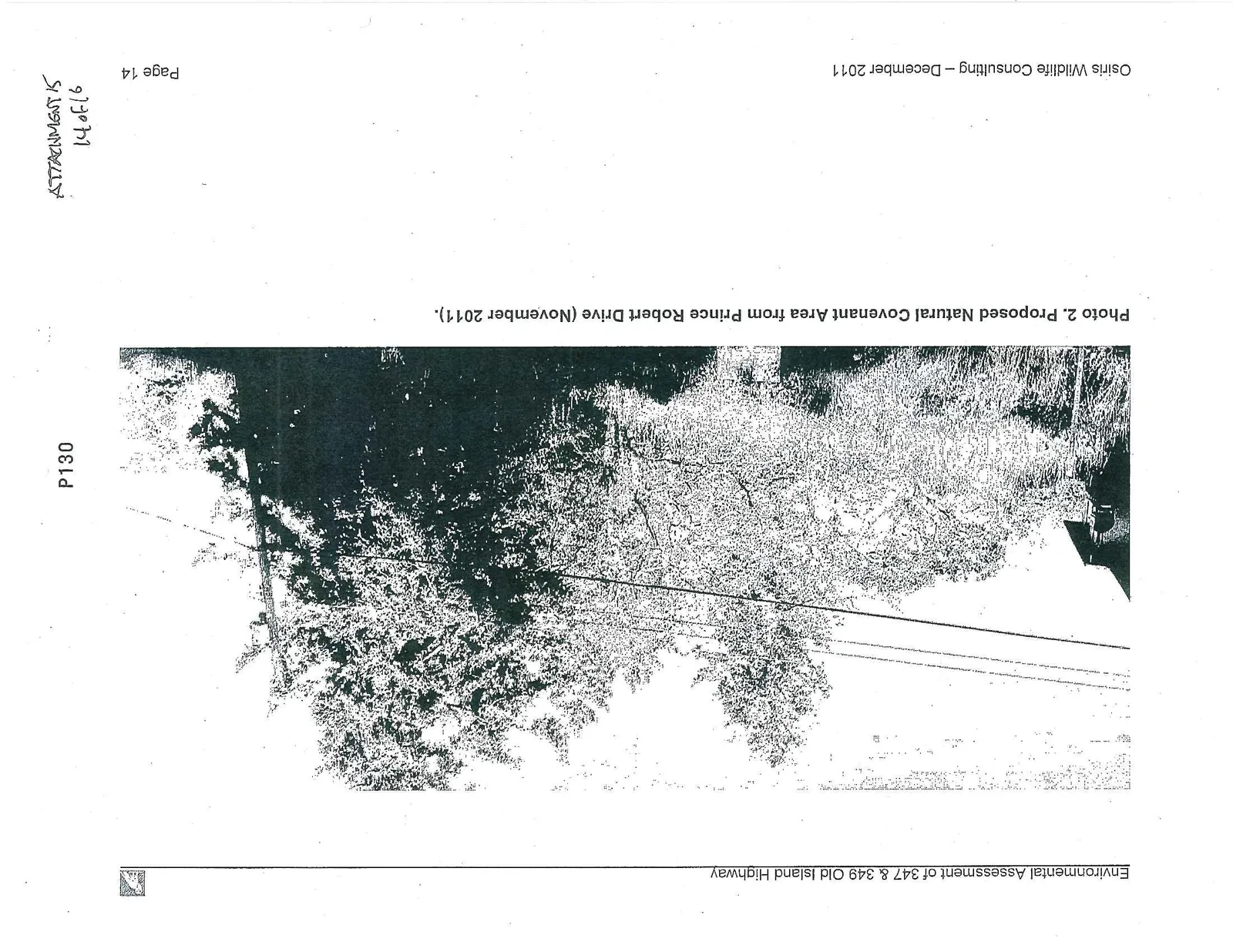
The Site Plan concentrates development at the west end of the lots which results in a relatively large and mostly contiguous Natural Covenant Area on the east side development next to Old Island Highway and Prince Robert Drive. This proposed Natural Area Covenant protects 6 Douglas-fir, 8 Garry Oak, and 4 Arbutus trees (including the largest Arbutus specimen on the properties)(see Figure 3 and Appendix 1, Photo 2).
The proposed development is unlikely to cause any significant changes in the population numbers of native animal species.
Former BC Hydro Right-of-Way
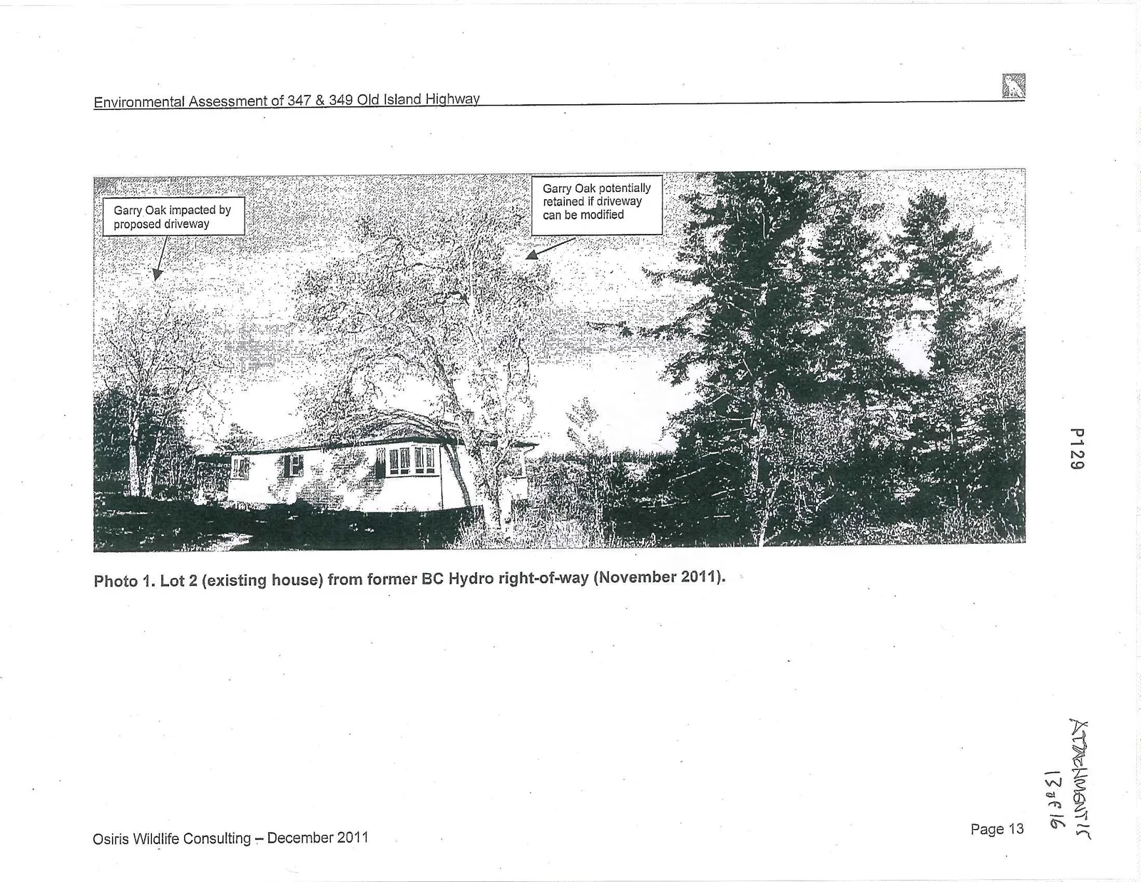
There are few anticipated environmental impacts associated with developing the former BC Hydro right-of-way. Very little of the lands within the former right-of-way are in a natural condition. The only significant environmental values are a large Arbutus (dbh 80 cm) and twin Garry Oaks (dbh 40 cm) that are located within the area proposed for development as driveways (see Figure 3 and Appendix 1, Photo 1).
Given the location of the large Arbutus in the centre of the proposed driveway, and the topographic and site constraints for relocating the driveway, it is unlikely that this Arbutus can be retained. This is due to the likely impact that construction of the driveway and associated underground service utilities will have on the rooting system of the tree and potential for alterations in the local hydrology to negatively impact the viability of this Arbutus. The same issues also apply to the Garry Oak located next to the proposed house at Lot 1 (see Figure 3). It may be possible to retain the Garry Oak located next to the existing house at Lot 2 (see Figure 3 and Appendix 1, Photo 1). This would require modifying the location of the proposed driveway to Lot 2 (shortening it) and locating the underground service utilities in such a way that they don't impact the oak's rooting system and local hydrology.
Endangered Species Assessment
A search of the BC Conservation Data Centre and CRD Natural Areas Atlas websites in October 2007 and December 2011 did not detect any element occurrences of any plant or animal species at risk or ecosystems at risk within, or immediately adjacent, to the proposed development (BC Conservation Data Centre 2011, CRD Natural Areas Atlas 2011, Figure 4). This database was searched for both masked and unmasked element occurrences.
The nearest location of element occurrences of species or ecosystems at risk were located through the BC Conservation Data Centre in Thetis Lake Park approximately 2 km northwest of the project area. These were 4 vascular plant species, one butterfly species and one ecosystem at risk. The vascular plant species were the red-listed rough-leaved aster (Aster radulinus) last seen in 1975, the red-listed coast microseris (Microseris bigelovii) last seen in 1953, the red-listed slender popcornflower (Plagiobothrys tenellus) last seen in 1958, and the blue-listed Howell's violet (Viola howellii) last seen in the 1957 (see #6906 in Figure 4, BC Conservation Data Centre 2011).
The animal species at risk in Thetis Lake Park was the Blue-listed Dun Skipper (Euphyes vestries), a purplish brown butterfly species (see #25848 in Figure 4, Shepard 2000). The nearest element occurrence of an ecosystem at risk was a Garry oak – oceanspray community (Quercus garryana / Holodiscus discolor) approximately 2 km to the northwest on a hill East of Thetis Lake (see #7112 in Figure 4, BC Conservation Data Centre 2011).
The site was also assessed in the field for the habitat potential to support endangered or protected bird species that are known to occur in southern Vancouver Island. None of the trees observed contained stick nests indicative of nesting Great Blue Herons or Bald Eagles. There were no trees present on the site that were large enough or had the structural characteristics to support nesting Marbled Murrelets.
Recommendations
- A Restrictive Natural Area Covenant should be applied as part of a bare land strata arrangement with all the owners of property within the site sharing responsibility for meeting its provisions. The Restrictive Covenant must be registered against the titles of all the properties in which it occurs. Under this arrangement, all strata title holders could pay an annual fee or tax to cover the ongoing costs of monitoring and maintaining the area by a qualified body hired by the strata council or the by the Town of View Royal.
- Prior to construction activities, snow fencing should be placed about 1 m outside of the edges of the Natural Area Covenant. This fencing will provide an obvious visual cue to construction personnel to identify and avoid damaging protected areas. The fencing should be placed under the direction of a qualified biologist working in cooperation with on-site construction representatives. The covenanted areas should be considered “off-limits” to any and all vehicles, machinery and construction materials.
- Initially, and then at periodic intervals (3-5 years) non-native shrubs and trees such as Himalayan Blackberry, Scotch Broom, Spurge Laurel, English Holly, English Ivy, and Common Hawthorn should be removed from the Restrictive Natural Area Covenant.
- Excavation for building foundations and utility services should be avoided within the drip-line (area of canopy coverage) of larger specimen trees of Douglas-fir as well as any Arbutus and Garry Oaks.
- During construction, all surface runoff must be controlled to limit erosion and contained to remove sediments until landscaping within the development is completed. A qualified biologist working in cooperation with on-site construction representatives must direct the placement of suitable erosion control and sediment containment measures.
- Bare soil exposed during construction activities should be seeded promptly within the growing season from April to September using a mix of equal amounts of Fall Rye, Italian Ryegrass and Perennial Ryegrass in order to minimize erosion and the introduction of invasive week species. Bare rock should not be seeded.
- Consider shortening the proposed driveway to Lot 2 (existing house) in order to retain the Garry Oak at this location. This might also require modifying the location of underground service utilities in order to avoid damaging the rooting system of this tree.
References
BC Conservation Data Centre. 2011. Mapped Known Locations of Species and Ecological Communities at Risk [web application]. Available: http://www.env.gov.bc.ca/atrisk/ims.htm (Accessed August 3 and October 21, 2007, and December 9, 2011).
CRD Natural Areas Atlas. 2011. Capital Region Natural Areas Atlas [web application]. Available: http://www.crd.bc.ca/es/natatlas/atlas.htm# (Accessed October 2007 and November 2011).
Green, R.N. and K. Klinka. 1994. A field guide to site identification and interpretation for the Vancouver Forest Region. Research Branch, Ministry of Forests, Victoria, BC. 283 pp.
National Garry Oak Ecosystems Recovery Team. 2002. Recovery Strategy for Garry Oak and Associated Ecosystems and their Associated Species at Risk in Canada, 2001 – 2006 (Draft 20 February, 2002). Available at: http://www.goert.ca accessed on March 14, 2007.
Shepard, J.H. 2000. Status of Five Butterflies and Skippers in British Columbia. B.C. Minist. Environ., Lands and Parks, Wildl. Branch. Working Rep. WR-101. 27pp.
Document Images
(7)