Committee of the Whole/Documents/Capital Region Coastal Flood Inundation Mapping Project Summary August 2020
Appendix
Capital Region Coastal Flood Inundation Mapping Project Summary August 2020
April 13, 2021Pages 225–2381 section
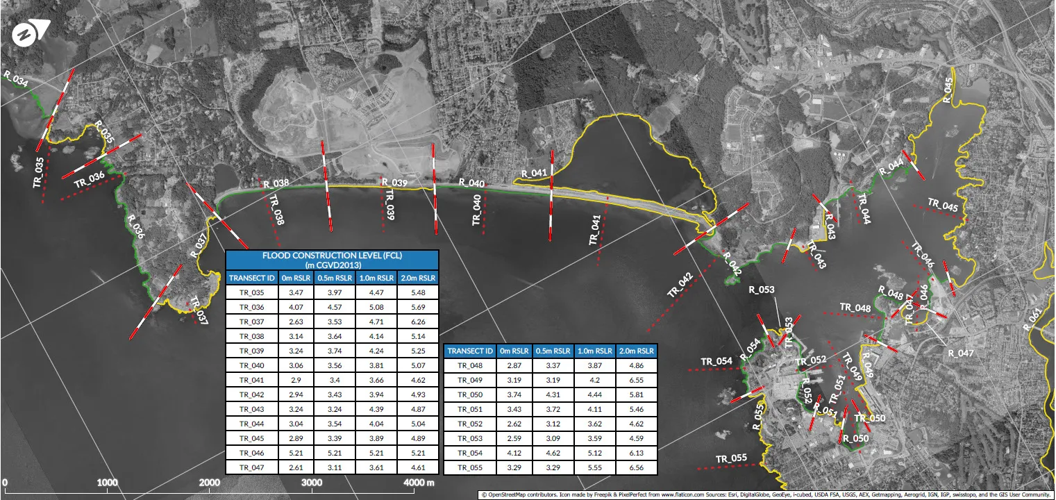
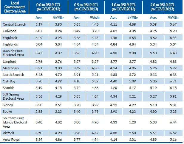
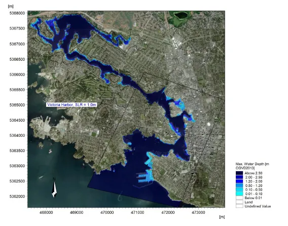
Attachment 3 to the Sea Level Rise report, summarizing the methodology and results of the CRD's coastal flood inundation mapping for tsunamis and rising sea levels.
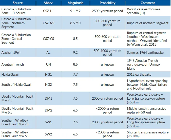
August 2020Partners include Victoria, Saanich, and Oak BayAddresses tsunami vulnerability from Cascadia Subduction Zone and other sources11 total tsunami scenarios modeled
Attachment 3 to the Sea Level Rise report, summarizing the methodology and results of the CRD's coastal flood inundation mapping for tsunamis and rising sea levels.
Page 225–238
Document Images
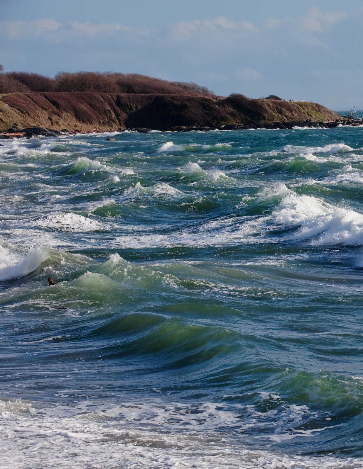
(8)
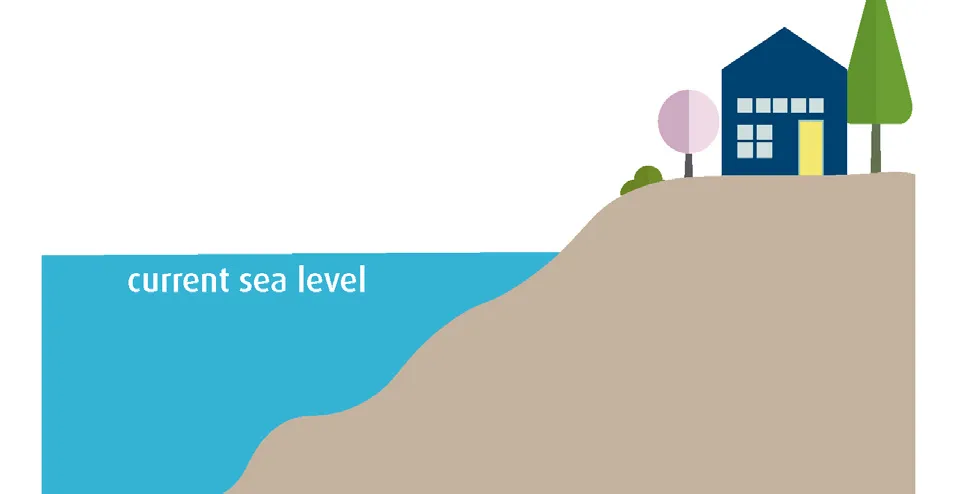
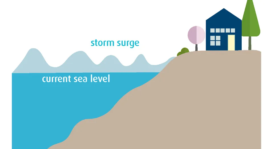
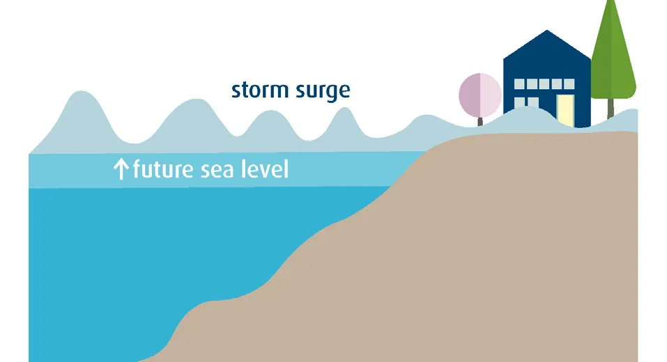
Extracted from: 2021 04 13 Committee of the Whole Agenda - Agenda - Pdf