Schedule “B”: Stage Two Traffic Calming Measures
A reference guide with descriptions and images of physical traffic calming infrastructure like speed humps and traffic circles.
Schedule “B”
Stage Two Traffic Calming Measures
Figure 1 Speed Hump
Speed Humps - approximately 12 feet in width and vary from 2.5 to 4 inches in height. This raised pavement serves to physically force motorists to reduce their speed. In order to be effective speed humps should be placed no further than 300 feet apart.
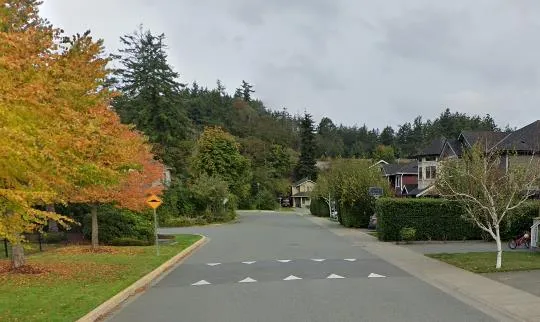
Figure 2 Speed Table
Speed Tables - speed humps with a long flat section that are generally used at crosswalk locations. Both speed humps and speed tables require signing and roadway markings to make their presence known to motorists and other roadway users.
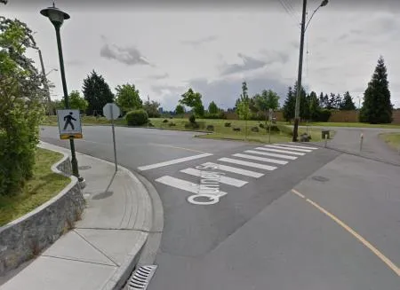
Figure 3 Traffic Circle
Traffic Circles - this device is a raised circular island in the middle of a residential neighborhood intersection. Direct straight through movements are obstructed by the raised island causing traffic to move to the right and around the circle. The intersection approaches are normally controlled by yield signs that serve to alert motorists to the need to slow their speed entering the intersection.
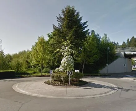
Figures 4-6
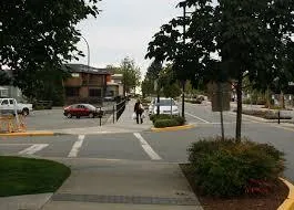
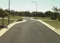
Curb Extensions, Chokers, Chicanes - various methods of narrowing the roadway by extending raised curbs into the street. These can be done at street entries and exits as well as mid-block locations. The narrower street generally results in reduced traffic speeds and provides pedestrians with shorter crossing distances.
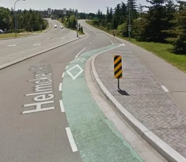
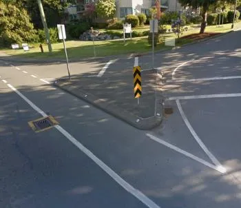
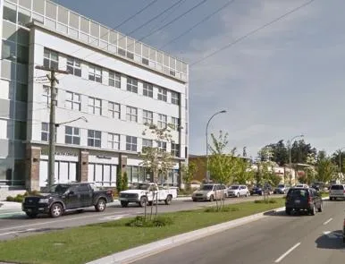
Figure 7 Median Entry/Exit Islands or Barriers
Median Entry/Exit Islands - traffic islands used to create narrower roadway passages at entry and exit points.
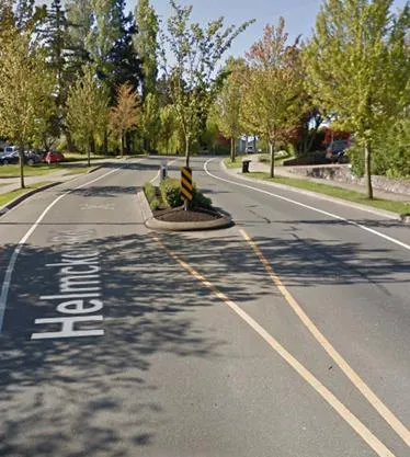
Median Barriers - a barrier or raised island along the center of a roadway to prohibit left turns or crossing traffic.
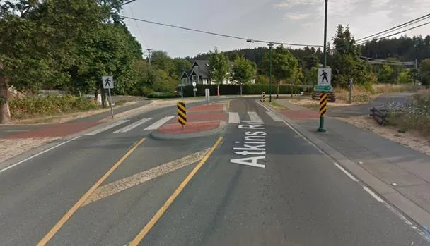
Figure 8 Mid-Block Raised Medians
Mid-Block Raised Medians - a median placed in the center of a roadway to create a narrower travel way and may also be used to reduce pedestrian crossing distances.