This site is in beta — data may be incomplete and features are still being added.
Committee of the Whole/Documents/Photos - Environmental Overview
Appendix

Photos - Environmental Overview

September 15, 2020Pages 322–3322 sections

A collection of 44 site photographs documenting the vegetation, terrain, and specific features (like nests and snags) at 9 Erskine Lane.

Photos taken between Sept and Nov 2019Includes images of Garry oak woodland and mature Douglas-fir

Environmental Overview

9 Erskine Lane, View Royal BC (PID 002-364-531)
Nov 18, 2019

Page 322–332

Photos

Photo 1. South Corner: Multi-age mixed canopy of young and mature Douglas-fir, bigleaf maple and grand fir.
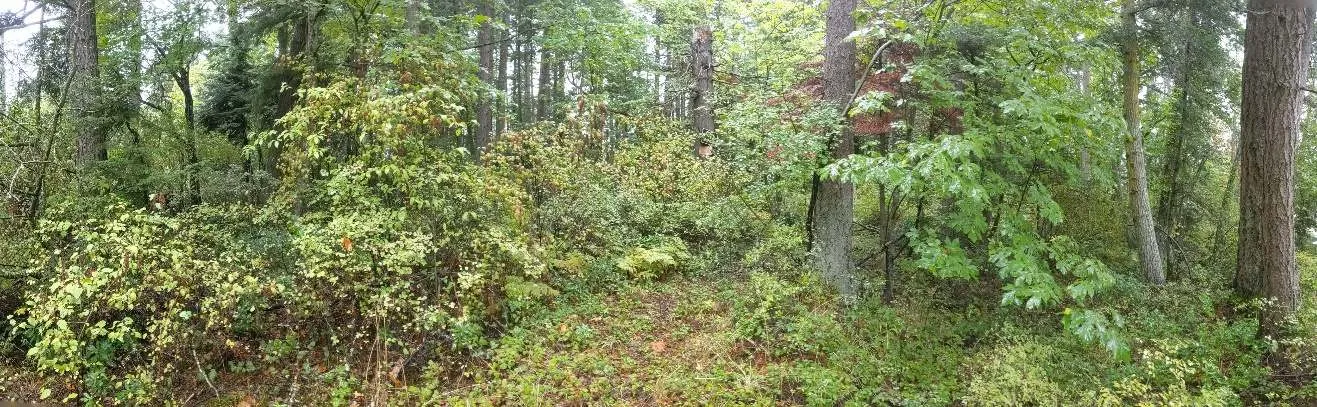
Panoramic view of a mixed forest canopy in the south corner.

Photo 2. South Corner: Multi-age mixed canopy of young and mature Douglas-fir, bigleaf maple and grand fir.
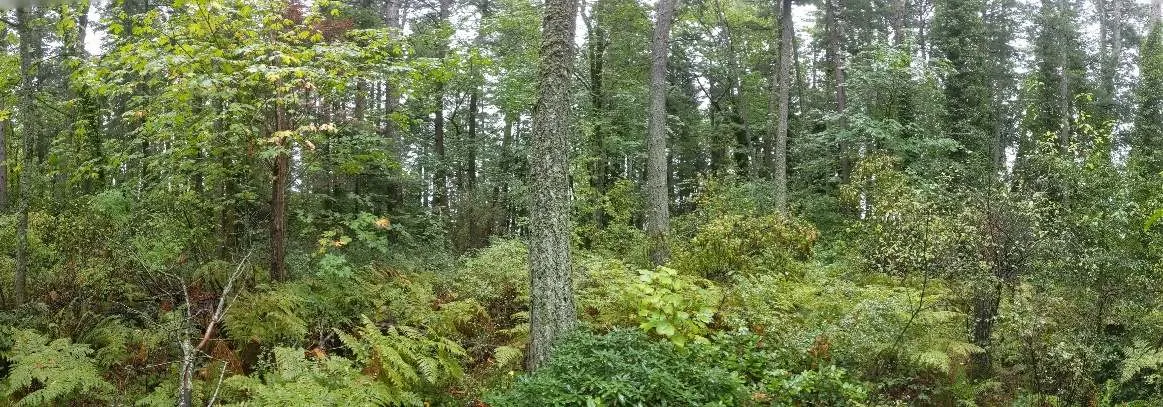
Forest interior view of mixed age trees and undergrowth in the south corner.

Photo 3. Southeast Corner: Some larger Douglas-fir trees, relatively sparse understorey, and some abandoned wood and metal waste.
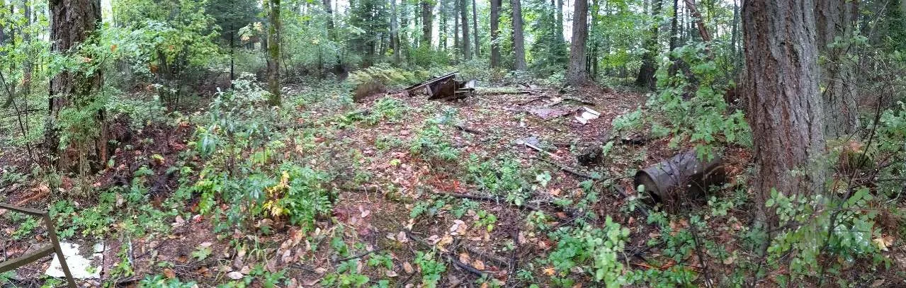
Forest floor in the southeast corner showing debris among trees.

Photo 4. Southeast Corner: Understorey of Oregon grape, trailing blackberry and bracken.
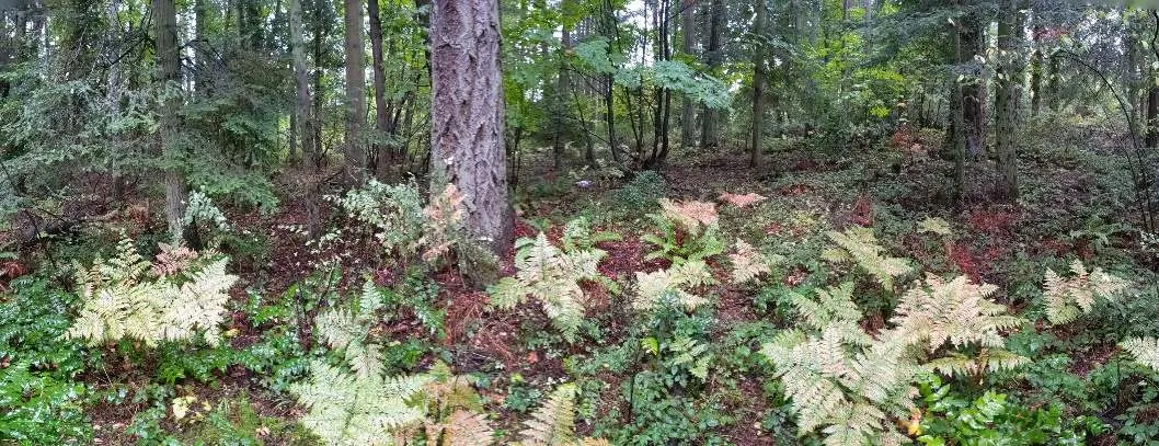
Understorey vegetation featuring ferns and low shrubs in the southeast corner.

Photo 5. Southeast Corner: Understorey of salal and Oregon grape.
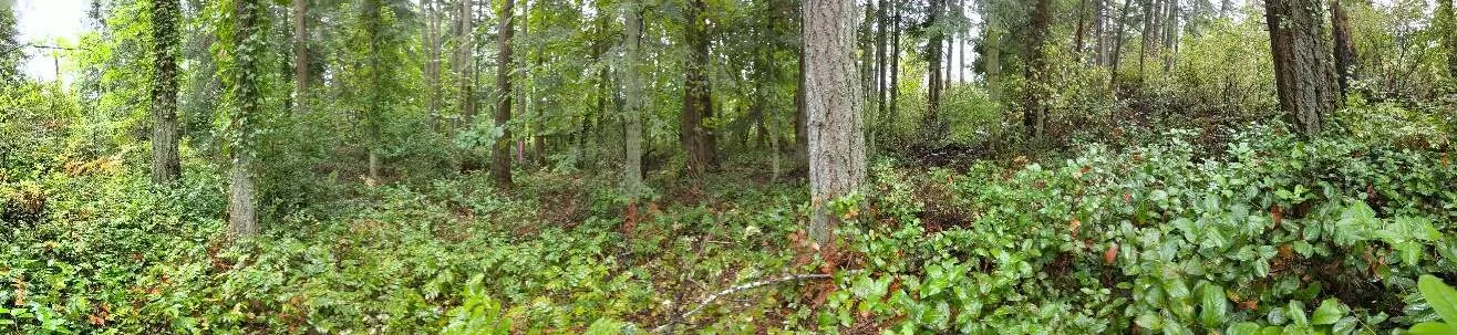
Dense green understorey in the southeast corner.

Photo 6. Northeast Edge: Northwest view of the Garry oak woodland.
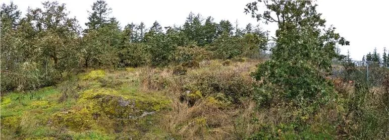
View of a Garry oak woodland on a moss-covered rocky slope.

Photo 7. Northeast Edge: Southeast view of the Garry oak woodland (Victoria General Hospital in the background on the left).
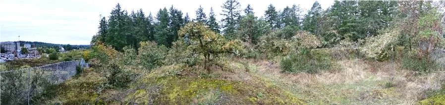
Wide view of Garry oak woodland with a distant hospital building visible.

Photo 8. Northeast Edge: Northwest view of the Garry oak woodland.
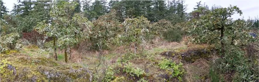
View of Garry oak trees across an open woodland area.

Photo 9. Northeast Edge: Northeast view towards the Garry oak woodland from the Douglas-fir—arbutus transition.
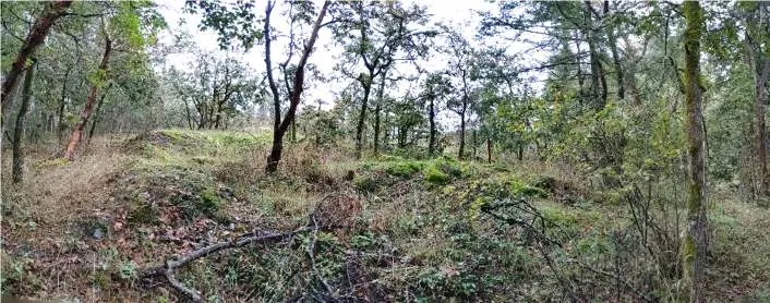
Transition zone between forest types showing diverse tree species.

Photo 10. Southwest Edge (Rural): Southeast view of the existing rural residential land use, with the house, landscaped area, driveway and parking area surrounded by mature Douglas-fir trees, taken from the right of way.
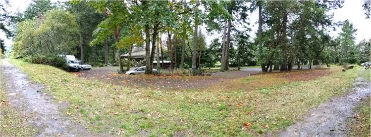
Panoramic view of a rural residential property surrounded by mature trees.

Photo 11. North Central: Douglas-fir—salal and arbutus mature forest.
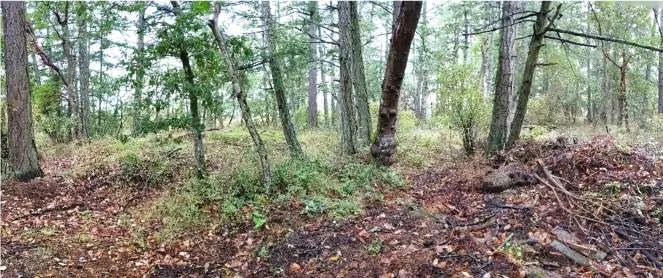
Interior view of a mature forest with significant undergrowth.

Photo 12. Northwest Corner: Garry oak and Douglas-fir—arbutus woodland.
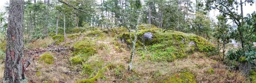
View of woodland on a mossy rocky outcrop.

Photo 13. Northwest Corner: Garry oak and Douglas-fir—arbutus woodland.
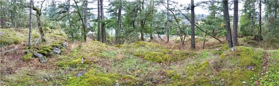
Moss-covered rocks and woodland trees in the northwest corner.

Photo 14. North Corner: Douglas-fir—salal and arbutus mature forest.
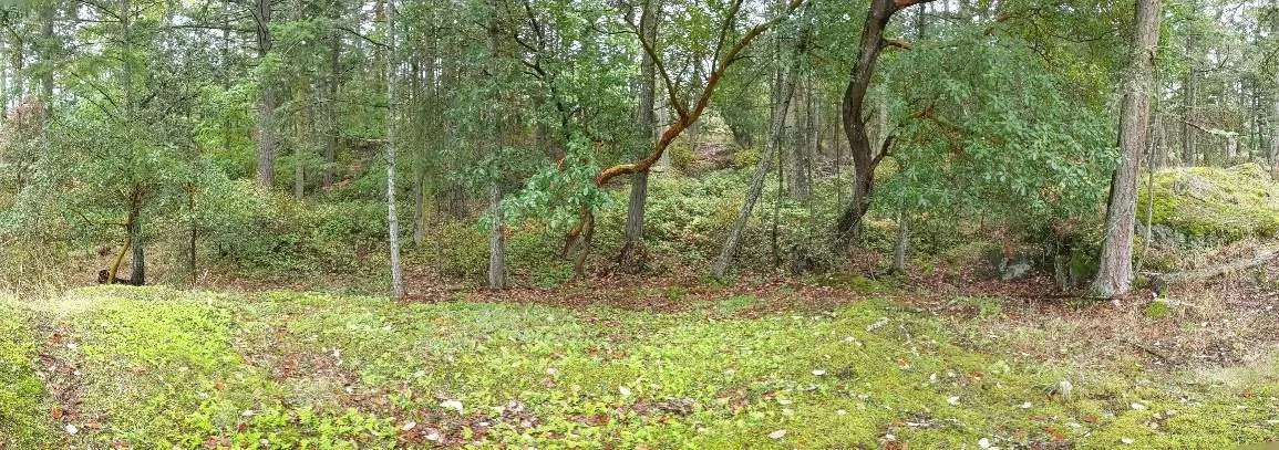
Forest clearing showing lush green ground cover.

Photo 15. North Central: Douglas-fir—salal and arbutus mature forest, with some remnants of a constructed mountain bike trail feature.
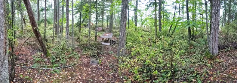
Forest interior showing a small wooden structure, part of a bike trail.

Photo 16. Northwest Corner: Northeast view of the Garry oak and mixed woodland from Erskine Lane.
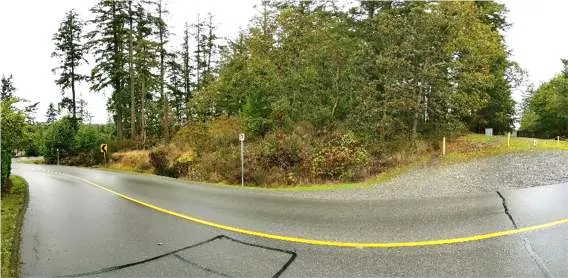
Roadside view of a mossy rocky hill and woodland from Erskine Lane.

Photo 17. Northwest Corner: Southeast view of the Garry oak and Douglas-fir—arbutus woodland from Watkiss Way.
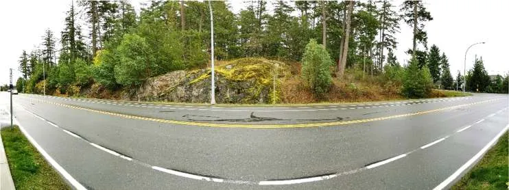
Wide view from a paved road toward a forested rocky outcrop.

Photo 18. Southwest Edge (Rural): Southeast view of the existing rural residential land use, with the house, landscaped area, driveway and parking area surrounded by mature Douglas-fir trees, taken from Erskine Lane.
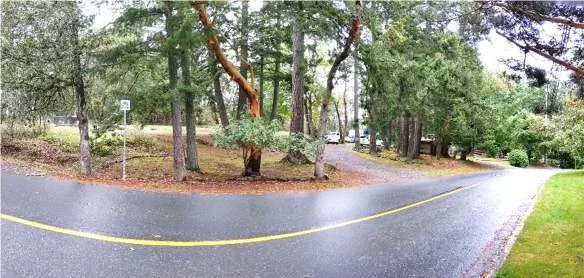
Panoramic view of a driveway and rural residence from Erskine Lane.

Photo 19. One of the larger Douglas-fir trees (~97 cm DBH).
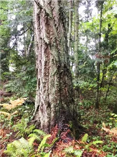
Close-up of a large Douglas-fir tree trunk.

Photo 20. Wildlife snag #1 in the south corner.
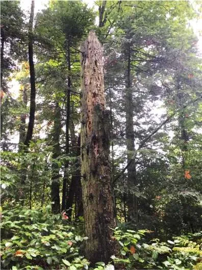
A tall, dead tree trunk standing in the forest.

Photo 21. Extensive growth of English ivy on many of the trees in the S corner.
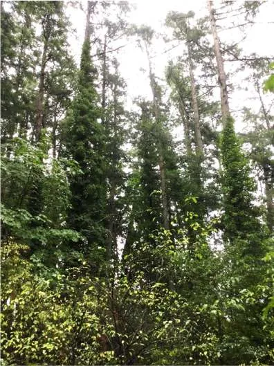
View of tall trees heavily covered with climbing ivy.

Photo 22. One of the larger Douglas-fir trees in the southeast corner.
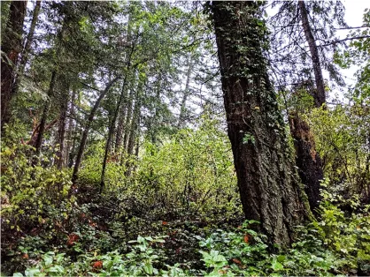
View of a mature tree trunk in a forested area.

Photo 23. Northwest view of the Garry oak woodland from the right of way.
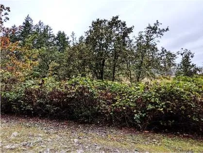
View of Garry oak trees behind a line of shrubs from a gravel path.

Photo 24. Southwest view of the right of way, adjacent to the Garry oak woodland.
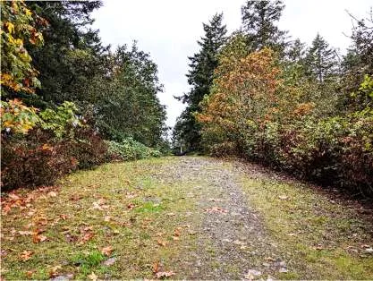
View looking down a gravel path bordered by trees and shrubs.

Photo 25. Southeast view of the Garry oak woodland.
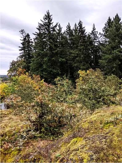
View across an open woodland towards a dense tree line.

Photo 26. Representative view of the Garry oak woodland.
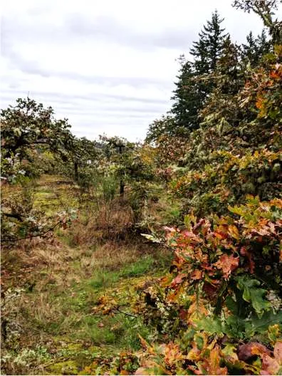
View of several Garry oak trees in an open area.

Photo 27. Douglas-fir—arbutus edge around the Garry oak woodland.
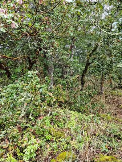
Edge of the woodland showing mixed tree species.

Photo 28. Northwest view of the Garry oak woodland.
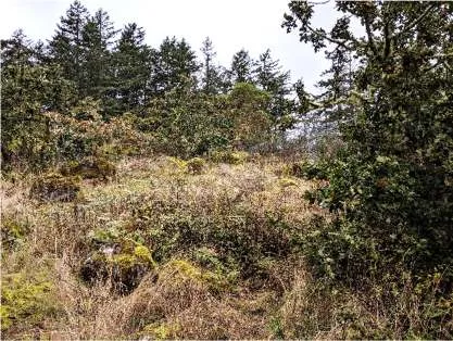
View of woodland on a rising mossy slope.

Photo 29. North view of the Garry oak woodland to the north of the property.
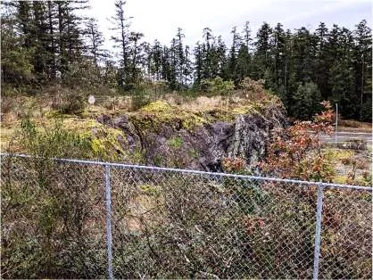
View across a fence towards a rocky outcrop and woodland.

Photo 30. Douglas-fir—arbutus edge around the Garry oak woodland.
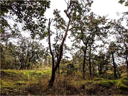
Mixed trees at the edge of the Garry oak habitat.

Photo 31. Representative view of the mixed woodland at the northwest corner.
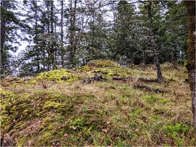
View of a moss-covered rocky hill in the mixed woodland.

Photo 32. East view of the Garry oak woodland and wildlife snag at the northwest corner by Erskine Ln.
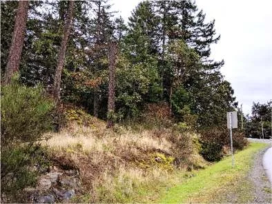
Roadside view showing a snag and woodland habitat.

Photo 33. Northeast view of the right of way from Erskine Lane.
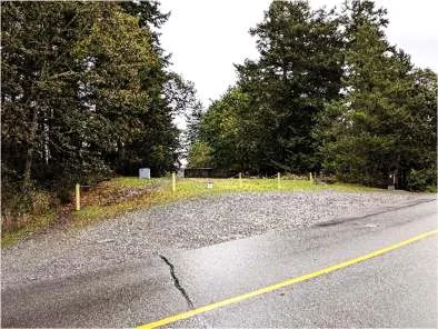
View of a paved road junction and nearby forest.

Photo 34. Representative view of the mixed woodland at the northwest corner.
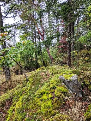
Closer view of mossy rocks and trees in the northwest woodland.

Photo 35. East view of the NW corner mixed woodland opening from Watkiss Way.
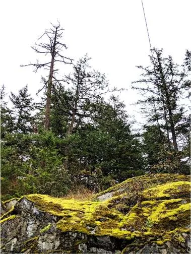
View of a mossy rocky slope with diverse trees.

Photo 36. Wildlife snag in the north central forest.
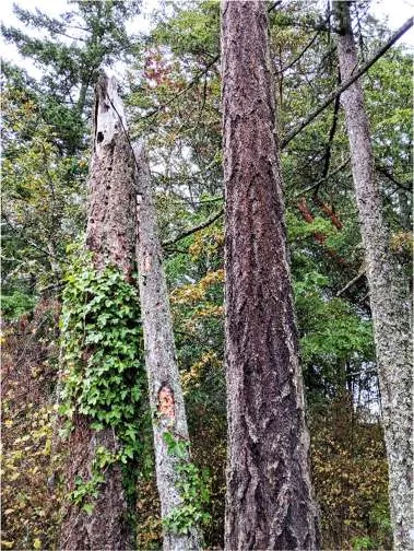
A large dead tree standing among live forest trees.

Photo 37. Representative view of the Douglas fir—arbutus forest.
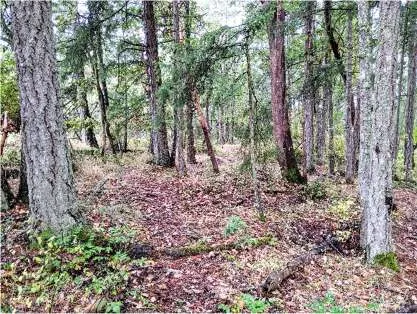
Interior view of the Douglas-fir and arbutus forest.

Photo 38. East view of the existing rural residential land use from Erskine Ln.
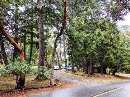
View of a driveway area and rural residence.

Photo 39. Representative view of the Douglas- fir—arbutus forest.
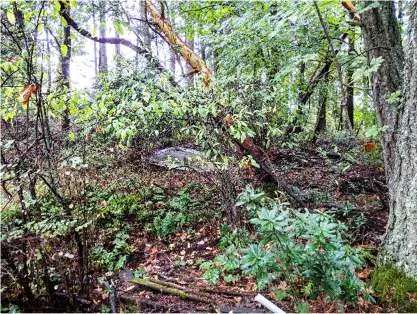
Typical forest scene with mature trees and undergrowth.

Photo 40. Representative view of the Douglas-fir—arbutus forest.
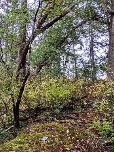
Dense forest interior view.

Photo 41. Southwest view of the ditch along the east side of Watkiss Way.
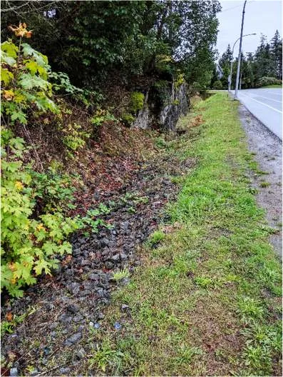
View of a gravel-lined drainage ditch next to a road.

Photo 42. Northeast view of the ditch along the east side of Watkiss Way.
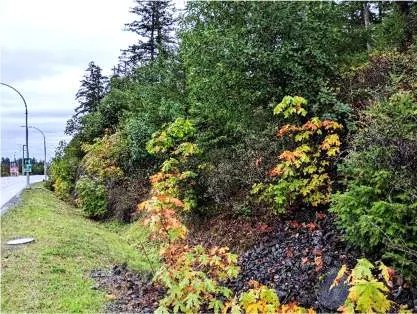
Ditch and roadside vegetation alongside Watkiss Way.

Photo 43. Common Raven nest in the southern portion of the property.
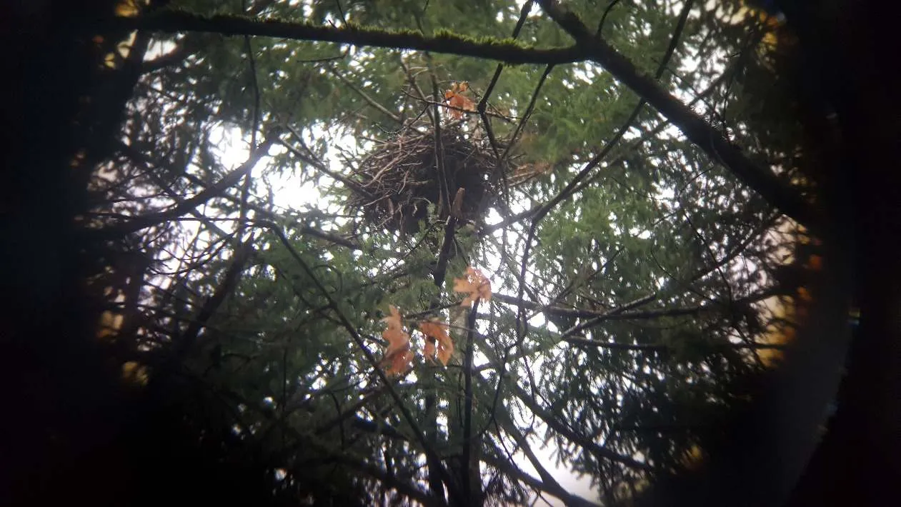
View up into a tree canopy showing a large stick nest.

Photo 44. Stick nest (possibly Common Raven or Cooper's Hawk) in the northern portion of the property.

Page 322–332
Extracted from: 2020 09 15 Committee of the Whole Agenda - Agenda - Pdf