Other
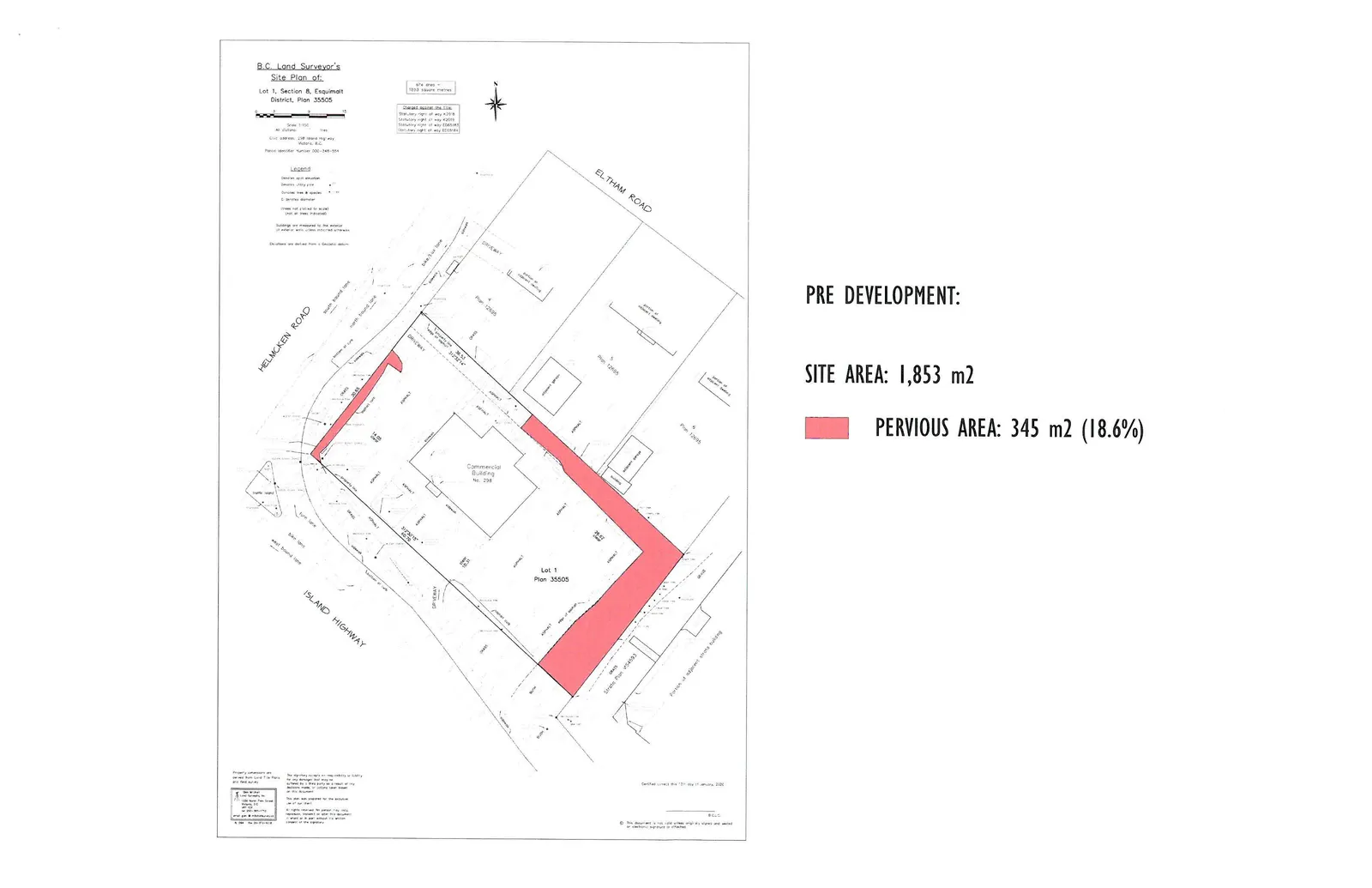
Pre Development Site Plan
September 15, 2020Page 7801 section
Survey plan showing the existing site conditions and pervious area before development.
Site Area: 1,853 m2Pervious Area: 345 m2 (18.6%)
B.C. Land Surveyor's Site Plan of: Lot 1, Section 8, Esquimalt District, Plan 35505
Site area: 1853 square metres Civic address: 298 Island Highway, Victoria, B.C. Parcel identifier number: 000-348-554 Scale: 1:250 Distances: All distances are in metres.
Charges against the title
- Statutory right of way K2918
- Statutory right of way K4205
- Statutory right of way ED85184
- Statutory right of way ED138164
Legend
- Denotes iron post found
- Denotes utility pole
- Denotes tree & species (E: denotes diameter; trees not plotted to scale; not all trees shown)
- Buildings are measured to the exterior of exterior walls unless indicated otherwise.
- Elevations are derived from a Geodetic datum.
PRE DEVELOPMENT:
- SITE AREA: 1,853 m2
- PERVIOUS AREA: 345 m2 (18.6%)
Property dimensions are derived from Land Title Office and Field Survey. Certified correct this 13th day of January, 2021.
Page 780
Extracted from: 2020 09 15 Committee of the Whole Agenda - Agenda - Pdf