This site is in beta — data may be incomplete and features are still being added.
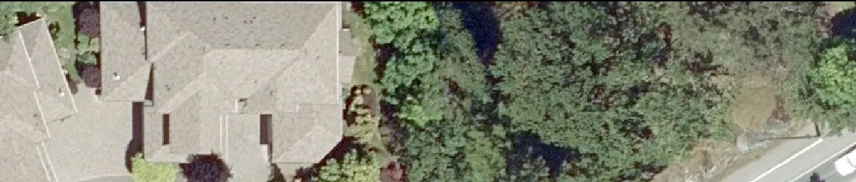
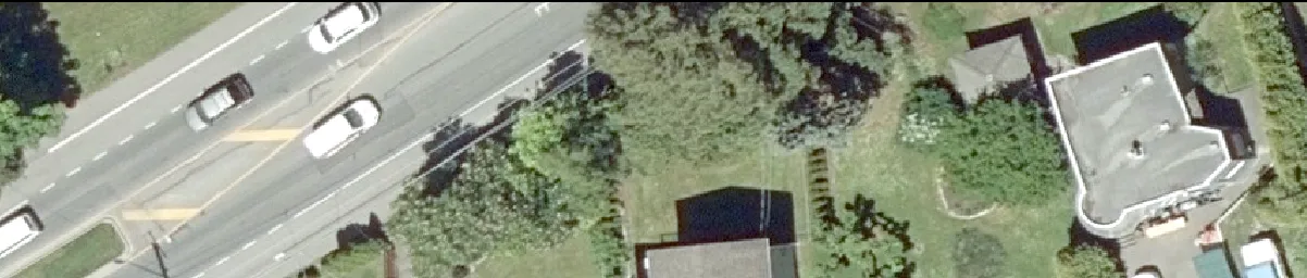
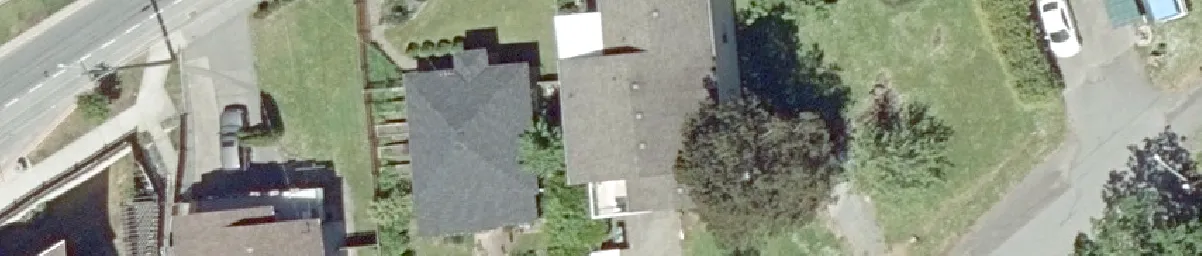
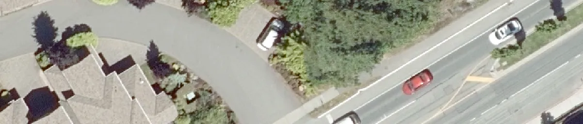
Committee of the Whole/Documents/Subject Property Orthophoto - 3, 5 & 9 Helmcken and 1449 Burnside Rd W
Appendix

Subject Property Orthophoto - 3, 5 & 9 Helmcken and 1449 Burnside Rd W

September 10, 2019Page 791 section

Satellite aerial view of the property development site.

2. APPROVAL OF AGENDA
1449 Burnside Rd W

Subject Property Orthophoto

3, 5 & 9 Helmcken and 1499 Burnside Rd W

Aerial detail of residential rooftops and surrounding trees
Aerial detail of Burnside Road W showing several traveling vehicles
Aerial detail of residential buildings and paved driveway areas
Aerial detail of a curved residential road with parked vehicles
Aerial detail of a grassy field with white boundary fence lines
[Image6: Aerial detail of a road segment with a dark vehicle and trees]
Aerial detail of a residential building and adjacent roadway
Aerial detail of a field area with property boundary markers
Aerial detail of a cluster of small outbuildings and a yard area
Aerial detail of a paved driveway area near residential trees
Aerial detail of a building roof and adjacent parking area
Aerial detail of a dirt track and boundary fence line
Aerial detail of a parking lot with several parked cars
Aerial detail of a road intersection with white lane markings
Aerial detail of an overgrown or weathered sports court
Aerial detail of a residential house and backyard area
Aerial detail of a large multi-unit building roof and lawn
Aerial detail of a residential rooftop and property grounds
Aerial detail of a lawn area with vegetation and shadows
Aerial detail of residential houses with vehicles in driveways

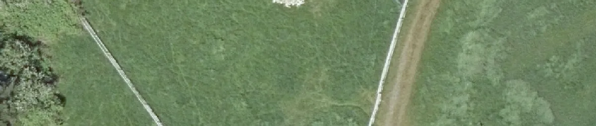
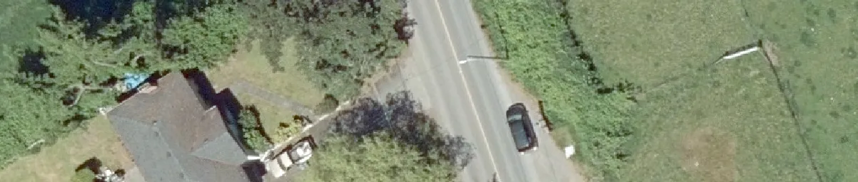
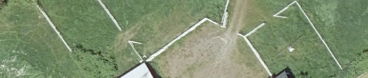
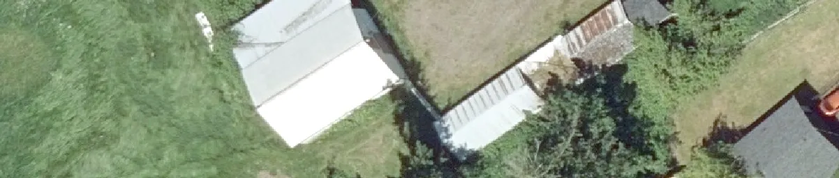
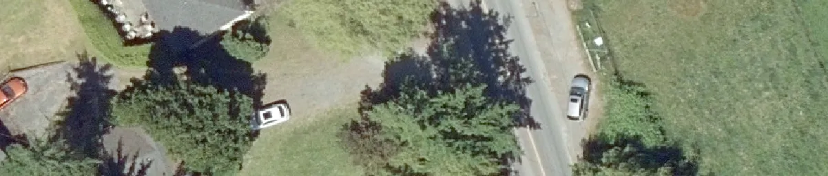
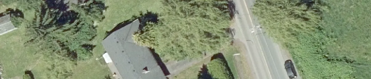
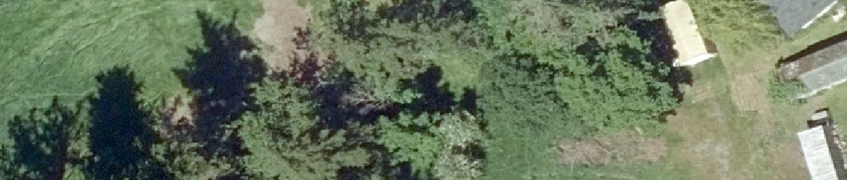
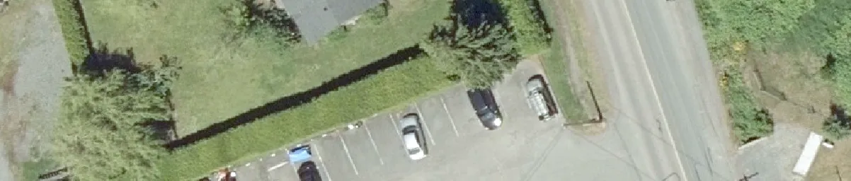
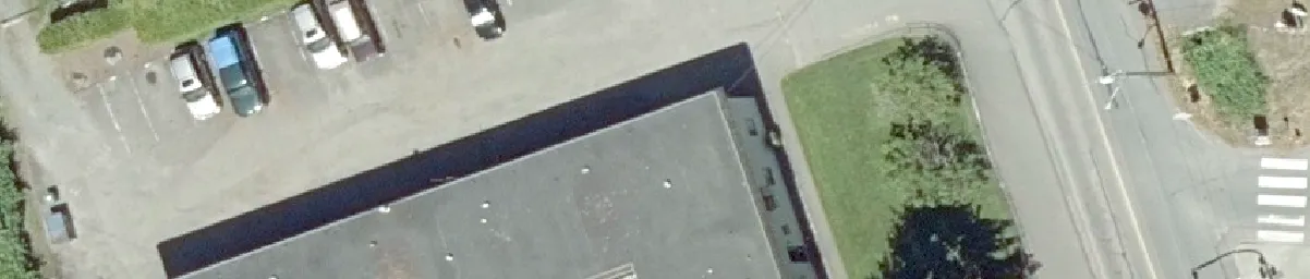
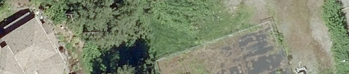
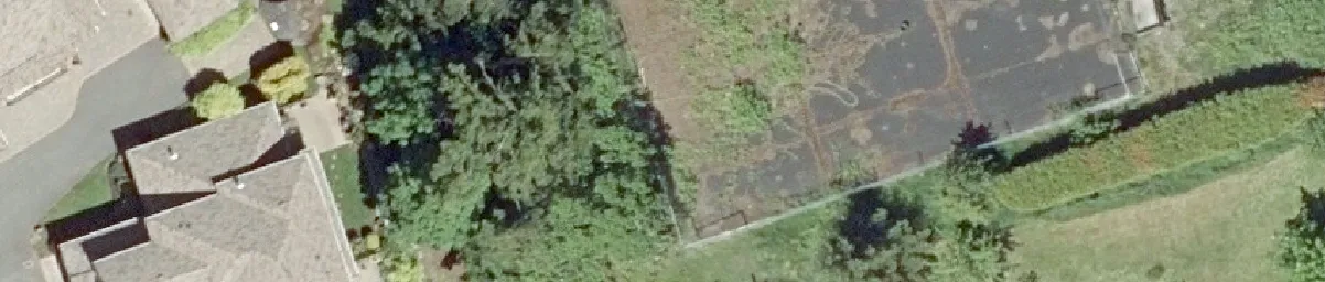
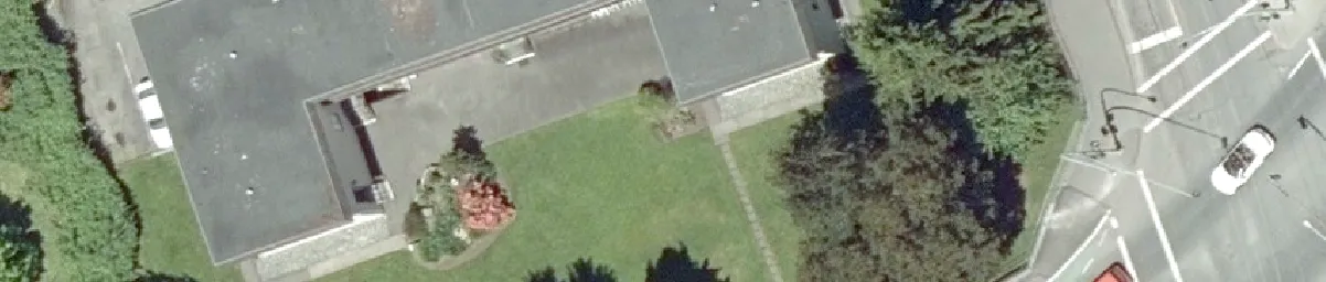
Scale 0 — 12.5 — 25 — 50 — 75 — 100 Meters

Map Labels and Annotations

  • Streets: Helmcken Road, Burnside Rd W
  • Property Addresses and Unit Numbers:
    • 1449
    • 1285
    • 3:1-12
    • 15:1-24
    • 9
    • 5
    • 20
    • 21
    • 22
    • 23
    • 24
    • 2
    • 3
    • 4
    • 11
    • 4
  • Subject Property Outline: A white border delineates the primary subject properties.
  • North Arrow: Indicating orientation to the top of the map.
Page 79

Document Images

(1)
Document image
Extracted from: 2019 09 10 Committee of the Whole Agenda - Agenda - Pdf