This site is in beta — data may be incomplete and features are still being added.
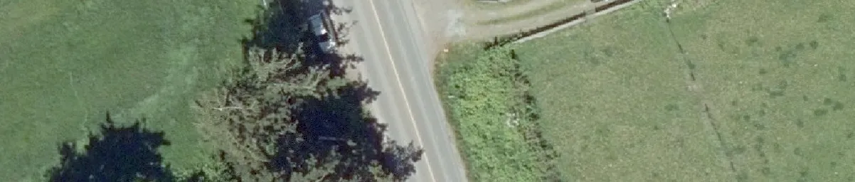
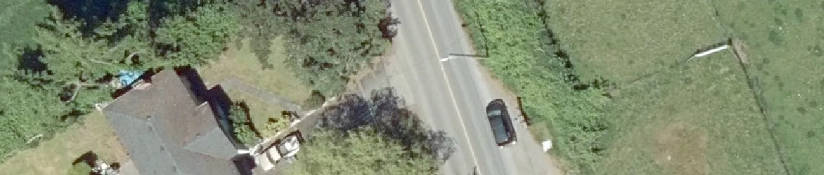
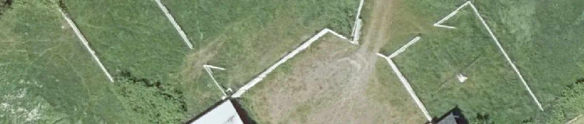
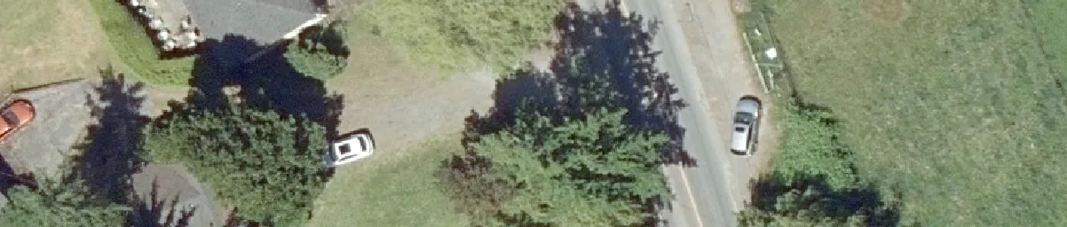
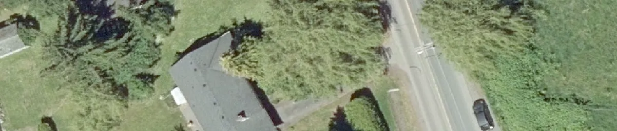
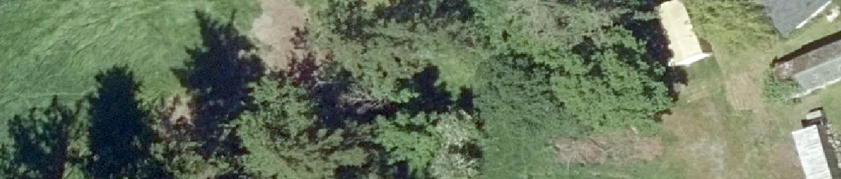
Committee of the Whole/Documents/Subject Property Orthophoto - 3, 5 & 9 Helmcken and 1449 Burnside Rd W
Appendix

Subject Property Orthophoto - 3, 5 & 9 Helmcken and 1449 Burnside Rd W

March 10, 2020Page 2481 section

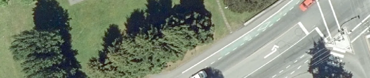
An aerial photograph showing the existing development and tree cover on the Eagles Nest project site.

9.2.3 a) Rezoning - 1449 Burnside Road West (Eagles Nest)
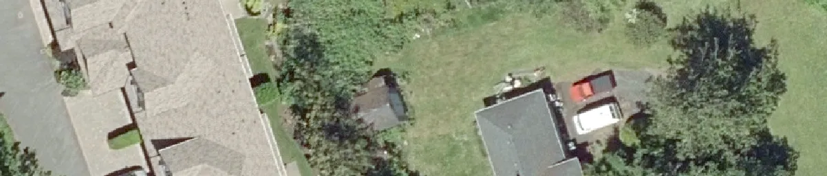
Shows current Robilee ApartmentsScale: 1:1,000

Subject Property Orthophoto

3, 5 & 9 Helmcken and 1499 Burnside Rd W

Aerial view of building rooftops and landscaping
Aerial view of a road with several white vehicles
Aerial view of residential structures and driveways
Aerial view of a road with a red car and white cars
Aerial view of a green field with white boundary lines
Aerial view of a road corner with a dark vehicle
Aerial view of a road with a black car
Aerial view of a green field with angled white lines
Aerial view of a large building roof and surrounding vegetation
Aerial view of a parking lot with vehicles
Aerial view of dense green tree canopy
Aerial view of trees and foliage
Aerial view of a building roof and parking area
Aerial view of an L-shaped building roof section
Aerial view of a building corner and road intersection
Aerial view of a road with a green bike lane and pavement markings
Aerial view of cars parked in designated stalls
Aerial view of a building roof and adjacent parking lot
Aerial view of a field and property edge
Aerial view of residential buildings and a red truck in a driveway

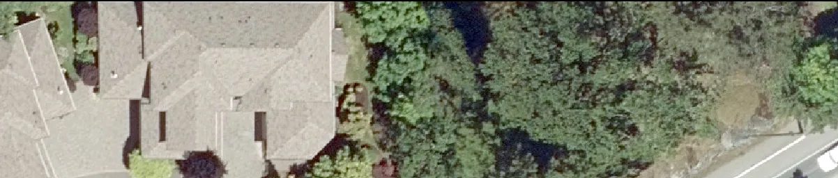
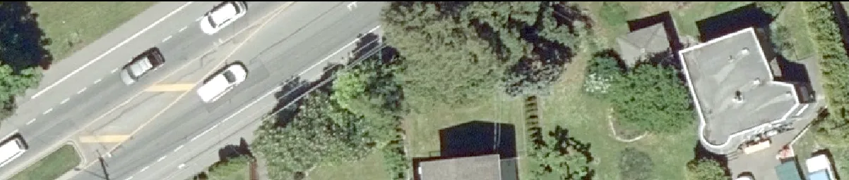
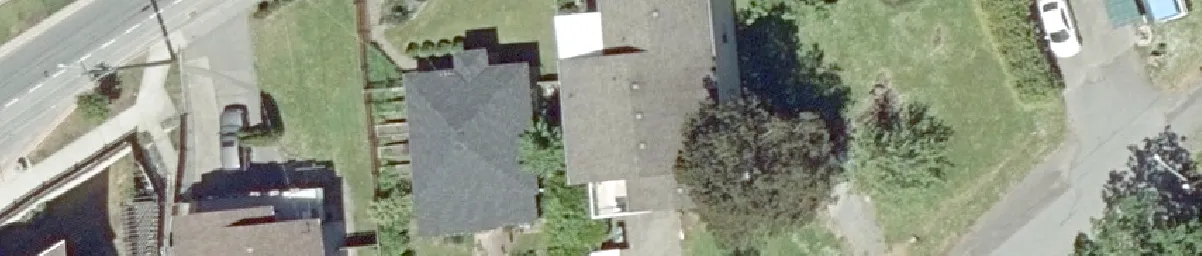
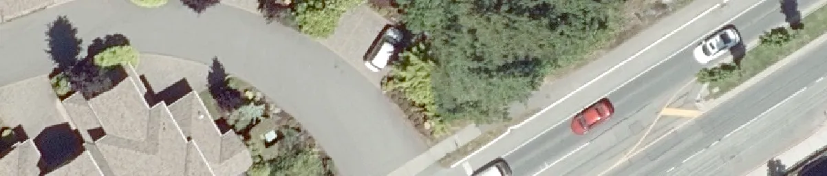
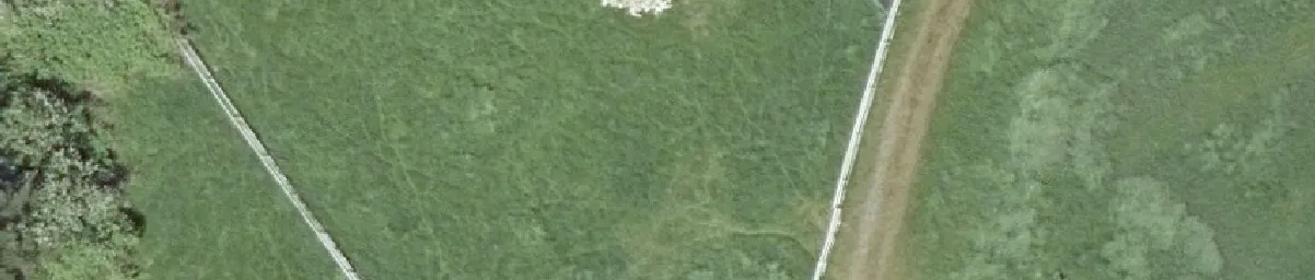
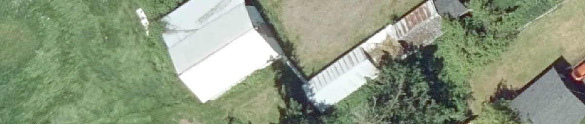
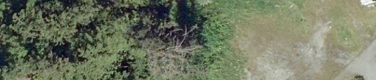
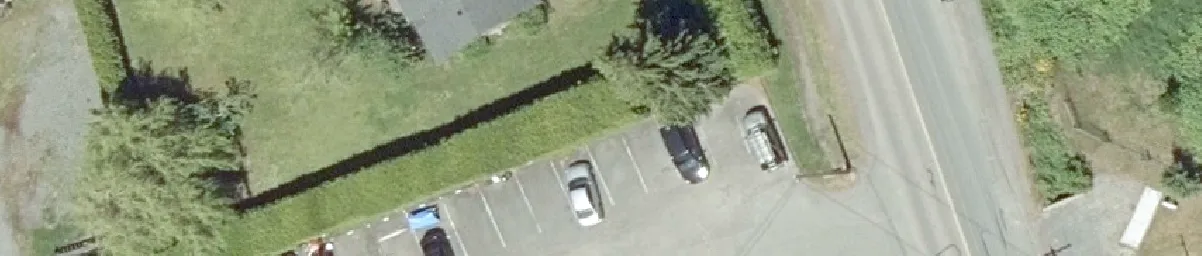
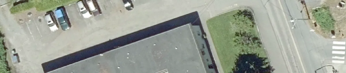
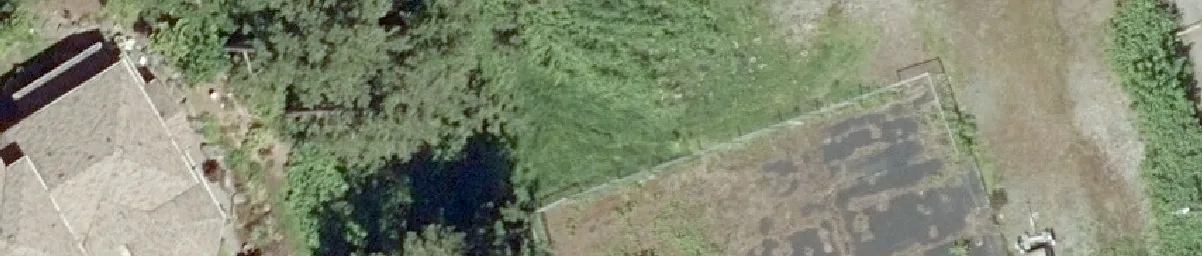
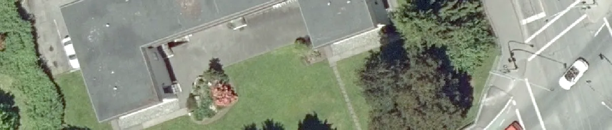
Scale 0 12.5 25 50 75 100 Meters

Labels and Identifiers on Orthophoto:

  • Roads: Helmcken Road, Burnside Rd W
  • Building and Property Labels:
    • 1449
    • 3:1-12
    • 1285
    • 15:1-24
  • Lot/Unit Numbers: 2, 3, 4, 5, 6, 9, 11, 20, 21, 22, 23, 24
Page 248
Extracted from: 2020 03 10 Committee of the Whole Agenda - Agenda - Pdf