ERIS Database Report - Helmcken Phase I ESA
An environmental risk database report for 3 Helmcken Road, identifying nearby waste generators and historical pesticide use.
DATABASE REPORT
Project Property: Helmken Phase I ESA 3 Helmken Road View Royal BC
Project No: 2243-18014-00 Report Type: Custom BC Standard Report Plus Order No: 20180214175 Requested by: McElhanney Consulting Date Completed: February 21, 2018
Table of Contents
- Table of Contents...........................................................................................2
- Executive Summary........................................................................................3
- Executive Summary: Report Summary.........................................................4
- Executive Summary: Site Report Summary - Project Property....................6
- Executive Summary: Site Report Summary - Surrounding Properties.........7
- Executive Summary: Summary By Data Source..........................................8
- Map.................................................................................................................9
- Aerial.............................................................................................................10
- Topographic Map..........................................................................................11
- Detail Report.................................................................................................12
- Unplottable Summary...................................................................................13
- Unplottable Report........................................................................................14
- Appendix: Database Descriptions.................................................................15
- Definitions.....................................................................................................21
Notice: IMPORTANT LIMITATIONS and YOUR LIABILITY
Reliance on information in Report: This report DOES NOT replace a full Phase I Environmental Site Assessment but is solely intended to be used as a database review of environmental records.
License for use of information in Report: No page of this report can be used without this cover page, this notice and the project property identifier. The information in Report(s) may not be modified or re-sold.
Your Liability for misuse: Using this Service and/or its reports in a manner contrary to this Notice or your agreement will be in breach of copyright and contract and ERIS may obtain damages for such mis-use, including damages caused to third parties, and gives ERIS the right to terminate your account, rescind your license to any previous reports and to bar you from future use of the Service.
No warranty of Accuracy or Liability for ERIS: The information contained in this report has been produced by ERIS Information Limited Partnership ("ERIS") using various sources of information, including information provided by Federal and Provincial government departments. The report applies only to the address and up to the date specified on the cover of this report, and any alterations or deviation from this description will require a new report. This report and the data contained herein does not purport to be and does not constitute a guarantee of the accuracy of the information contained herein and does not constitute a legal opinion nor medical advice. Although ERIS has endeavored to present you with information that is accurate, ERIS disclaims, any and all liability for any errors, omissions, or inaccuracies in such information and data, whether attributable to inadvertence, negligence or otherwise, and for any consequences arising therefrom. Liability on the part of ERIS is limited to the monetary value paid for this report.
Trademark and Copyright: You may not use the ERIS trademarks or attribute any work to ERIS other than as outlined above. This Service and Report(s) are protected by copyright owned by ERIS Information Limited Partnership. Copyright in data used in the Service or Report(s) (the "Data") is owned by ERIS or its licensors. The Service, Report(s) and Data may not be copied or reproduced in whole or in any substantial part without prior written consent of ERIS.
Executive Summary
Property Information:
Project Property: Helmken Phase I ESA 3 Helmken Road View Royal BC
Project No: 2243-18014-00
Coordinates:
- Latitude: 48.468802
- Longitude: -123.425063
- UTM Northing: 5,368,494.99
- UTM Easting: 468,580.57
- UTM Zone: UTM Zone 10U
Elevation:
- 117 FT
- 35.79 M
Order Information:
- Order No: 20180214175
- Date Requested: February 14, 2018
- Requested by: McElhanney Consulting
- Report Type: Custom BC Standard Report Plus
Historical/Products:
- Insurance Products: Fire Insurance Maps/Inspection Reports/Site Specific Plans
Executive Summary: Report Summary
| Database | Name | Searched | Search Radius | Project Property | Within 0.25 km | 0.25 km to 0.50 km | Total |
|---|---|---|---|---|---|---|---|
| AMS | Authorization Management System (formerly WASTE) | Y | 0.25 | 0 | 0 | - | 0 |
| ARIS | Assessment Report Indexing System | Y | 0.25 | 0 | 0 | - | 0 |
| AUWR | Automobile Wrecking & Supplies | Y | 0.25 | 0 | 0 | - | 0 |
| BOGW | BC Oil and Gas Wells | Y | 0.25 | 0 | 0 | - | 0 |
| CHEM | Chemical Register | Y | 0.25 | 0 | 0 | - | 0 |
| CNG | Compressed Natural Gas Stations | Y | 0.25 | 0 | 0 | - | 0 |
| COAL | Coal Tar Sites | Y | 0.25 | 0 | 0 | - | 0 |
| CONV | Compliance and Enforcement Summary | Y | 0.25 | 0 | 0 | - | 0 |
| DIS | Wastewater Discharge Inventory | Y | 0.25 | 0 | 0 | - | 0 |
| EEM | Environmental Effects Monitoring | Y | 0.25 | 0 | 0 | - | 0 |
| EHS | ERIS Historical Searches | Y | 0.25 | 0 | 0 | - | 0 |
| EIIS | Environmental Issues Inventory System | Y | 0.25 | 0 | 0 | - | 0 |
| EM | Environmental Monitoring Locations | Y | 0.25 | 0 | 0 | - | 0 |
| FCON | Federal Convictions | Y | 0.25 | 0 | 0 | - | 0 |
| FCS | Contaminated Sites on Federal Land | Y | 0.25 | 0 | 0 | - | 0 |
| FISH | Commercial Fisheries | Y | 0.25 | 0 | 0 | - | 0 |
| FOFT | Fisheries & Oceans Fuel Tanks | Y | 0.25 | 0 | 0 | - | 0 |
| GEN | Waste Generators Summary | Y | 0.25 | 0 | 0 | - | 0 |
| GEN2 | Generators - Special Waste Information System (SWIS) | Y | 0.25 | 0 | 0 | - | 0 |
| GHG | Greenhouse Gas Emissions from Large Facilities | Y | 0.25 | 0 | 0 | - | 0 |
| IAFT | Indian & Northern Affairs Fuel Tanks | Y | 0.25 | 0 | 0 | - | 0 |
| LUM | Lumber Mills | Y | 0.25 | 0 | 0 | - | 0 |
| MINE | Canadian Mine Locations | Y | 0.25 | 0 | 0 | - | 0 |
| MNR | Minerals Deposits Database | Y | 0.25 | 0 | 0 | - | 0 |
| NATE | National Analysis of Trends in Emergencies System (NATES) | Y | 0.25 | 0 | 0 | - | 0 |
| NCPL | Non-Compliance Reports | Y | 0.25 | 0 | 0 | - | 0 |
| NDFT | National Defense & Canadian Forces Fuel Tanks | Y | 0.25 | 0 | 0 | - | 0 |
| NDSP | National Defense & Canadian Forces Spills | Y | 0.25 | 0 | 0 | - | 0 |
| NDWD | National Defence & Canadian Forces Waste Disposal Sites | Y | 0.25 | 0 | 0 | - | 0 |
| NEBI | National Energy Board Pipeline Incidents | Y | 0.25 | 0 | 0 | - | 0 |
| NEBW | National Energy Board Wells | Y | 0.25 | 0 | 0 | - | 0 |
| NEES | National Environmental Emergencies System (NEES) | Y | 0.25 | 0 | 0 | - | 0 |
| NPCB | National PCB Inventory | Y | 0.25 | 0 | 0 | - | 0 |
| NPRI | National Pollutant Release Inventory | Y | 0.25 | 0 | 0 | - | 0 |
| OGW | Oil and Gas Wells | Y | 0.25 | 0 | 0 | - | 0 |
| PAP | Canadian Pulp and Paper | Y | 0.25 | 0 | 0 | - | 0 |
| PCB | Inventory of PCB Storage Sites | Y | 0.25 | 0 | 0 | - | 0 |
| PCFT | Parks Canada Fuel Storage Tanks | Y | 0.25 | 0 | 0 | - | 0 |
| PES | Pesticide Register | Y | 0.25 | 0 | 0 | - | 0 |
| PRAI | Private Aggregate Inventory | Y | 0.25 | 0 | 0 | - | 0 |
| PUAI | Public Aggregate Inventory | Y | 0.25 | 0 | 0 | - | 0 |
| REC | Waste Receivers Summary | Y | 0.25 | 0 | 0 | - | 0 |
| REC SWIS | Receivers - Special Waste Information System (SWIS) | Y | 0.25 | 0 | 0 | - | 0 |
| RST | Retail Fuel Storage Tanks | Y | 0.25 | 0 | 0 | - | 0 |
| SCT | Scott's Manufacturing Directory | Y | 0.25 | 0 | 0 | - | 0 |
| SREG | Site Registry | Y | 0.50 | 0 | 0 | 0 | 0 |
| TCFT | Transport Canada Fuel Storage Tanks | Y | 0.25 | 0 | 0 | - | 0 |
| WDS | Waste Disposal Site Inventory | Y | 0.25 | 0 | 0 | - | 0 |
| WWIS | Water Well Information System | Y | 0.25 | 0 | 0 | - | 0 |
| Total: | 0 | 0 | 0 | 0 |
Executive Summary: Site Report Summary - Project Property
No records found in the selected databases for the project property.
Executive Summary: Site Report Summary - Surrounding Properties
No records found in the selected databases for the surrounding properties.
Executive Summary: Summary By Data Source
No records found in the selected databases for the project property or surrounding properties.
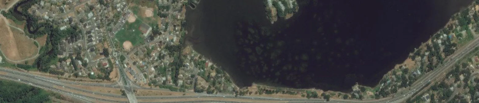
Map : 0.5 Kilometer Radius
Order No: 20180214175 Address: 3 Helmken Road, View Royal, BC Scale: 1:6500
Legend:
- Project Property: Red outline
- Buffer Outline: Purple dashed circle
- Eris Sites with Higher Elevation: Yellow triangle
- Eris Sites with Same Elevation: Orange square
- Eris Sites with Lower Elevation: Red inverted triangle
- Eris Sites with Unknown Elevation: White circle
- Expressway: Thick green line
- Principal Highway: Solid red line
- Secondary Highway: Thick yellow line
- Major Road: Solid black line
- Local road: Solid grey line
- Trail: Dotted grey line
- Proposed Road: Dashed grey line
- Ferry Route/Ice Road: Blue dashed line
- Industrial and Resource - Regions: Hatched area
- Main Line: Solid thin black line
- Sidetrack: Thin grey line
- Transit Line: Blue line
- Abandoned Line: Hatched line
- National Park: Dark green area
- Provincial or Territorial Park: Olive green area
- Other Park: Bright green area
- Golf Course or Driving Range: Light green area
- Park or Sports Field: Medium green area
- Other Recreation Area: Pale green area
Source: © 2015 DMTI Spatial Inc. © ERIS Information Limited Partnership
Aerial (2013)
Order No: 20180214175 Address: 3 Helmken Road, View Royal, BC Scale: 1:10000
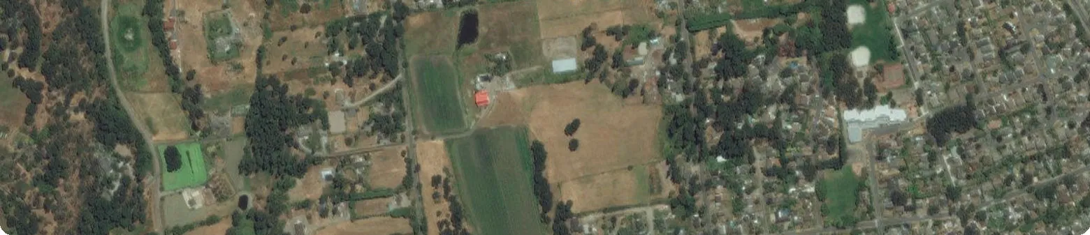
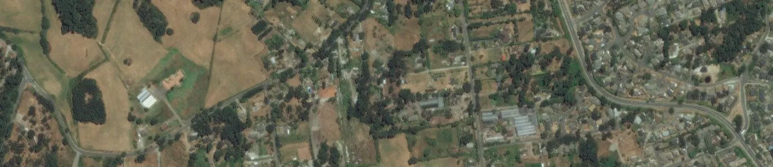
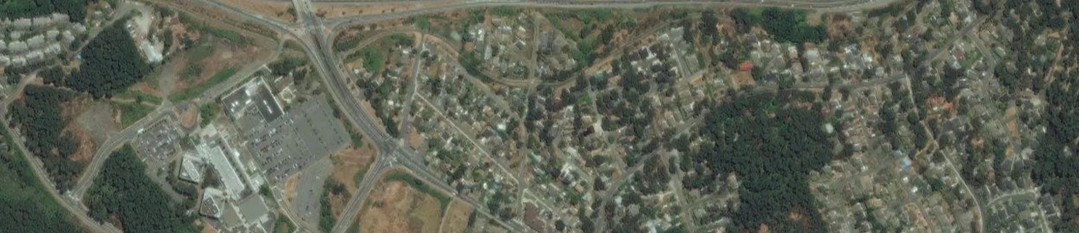
Source: ESRI World Imagery, © ERIS Information Limited Partnership
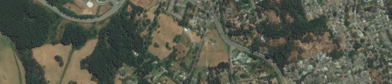
Topographic Map
Order No: 20180214175 Address: 3 Helmken Road, View Royal, BC Scale: 1:24000
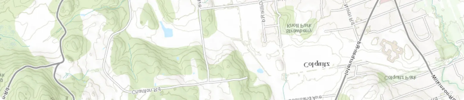
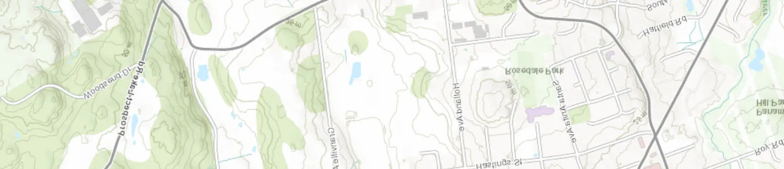
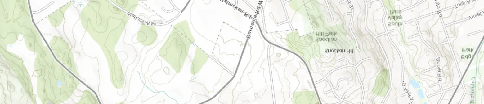
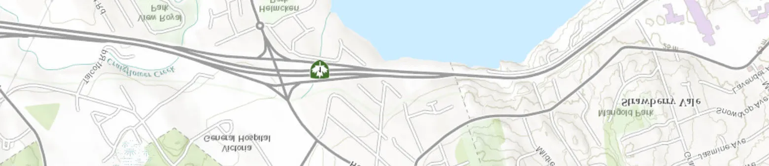
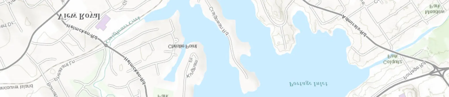
Source: ESRI World Topographic Map, © ERIS Information Limited Partnership
Detail Report
No records found in the selected databases for the project property or surrounding properties.
Unplottable Summary
Total: 2 Unplottable sites
| DB | Company Name/Site Name | Address | City | Postal |
|---|---|---|---|---|
| PES | 0940349 BC LTD | #9 BURNSIDE ROAD WEST, VICTORIA, BC, CA V9A 1B2 | BC | |
| PES | MR. FERTILIZER & HYDROPONICS | #9 BURNSIDE ROAD WEST | VICTORIA BC |
Unplottable Report
Site: 0940349 BC LTD #9 BURNSIDE ROAD WEST, VICTORIA, BC, CA V9A 1B2 BC Database: PES
- Licence NO: 19204
- Product/Service:: 87 - DOMESTIC AND UP TO 100KG COMMERCIAL PESTICIDES
- Type: Vendor
- Duration (yrs):
- Approved Date: 04/01/2016
- Public Land::
- Expiry Date: 04/01/2017
- Aerial Applicator::
- Legal Name:: 0940349 BC LTD
- Mailing Address::
Site: MR. FERTILIZER & HYDROPONICS #9 BURNSIDE ROAD WEST VICTORIA BC Database: PES
- Licence NO: 19204
- Product/Service:: DOMESTIC AND UP TO 100KG COMMERCIAL PESTICIDES
- Type: Vendor
- Duration (yrs):
- Approved Date: 04/01/2013
- Public Land::
- Expiry Date: 04/01/2014
- Aerial Applicator::
- Legal Name:: 0940349 BC LTD
- Mailing Address:: #9 BURNSIDE ROAD WEST, VICTORIA, BC, V9A 1B2
Appendix: Database Descriptions
Environmental Risk Information Services (ERIS) can search the following databases. The extent of historical information varies with each database and current information is determined by what is publicly available to ERIS at the time of update. Note: Databases denoted with " * " indicates that the database will no longer be updated. See the individual database description for more information.
Authorization Management System (formerly WASTE): Provincial AMS
AMS is the Ministry of Environment's waste permit administration system. It maintains data related to the administration of permits issued under the Environmental Management Act and registrations under various regulations where the regulation requires a discharger to register. It will include information such as companies or individuals permitted to discharge waste; type of business and locations at which waste disposal is permitted; the types, amounts and frequency of waste products that are permitted to be discharged at given locations; issue date and more. This was previously referred to as the "WASTE" database. Government Publication Date: 1957-Oct 2016
Assessment Report Indexing System: Provincial ARIS
Within British Columbia, the "Mineral Tenure Act Regulation", requires that results of mineral exploration and development programs be submitted to the British Columbia Ministry of Employment and Investment, where they are then maintained and housed by the Geological Survey Branch. The assessment reports provided by the Geological Survey Branch contain summary information for reports approved to November 1998; on geology, geophysics, geochemistry, drilling, prospecting and physical work. Government Publication Date: Dec 31, 2016
Automobile Wrecking & Supplies: Private AUWR
This database provides an inventory of known locations that are involved in the scrap metal, automobile wrecking/recycling, and automobile parts & supplies industry. Information is provided on the company name, location and business type. Government Publication Date: 1999-May 2017
BC Oil and Gas Wells: Provincial BOGW
The BC Oil and Gas Wells database was collected from the BC Oil and Gas Commission and is a comprehensive database that includes information regarding well number, well name, operator name, location, depth, status, as well as drill date and type. Please note that this database will not be updated, information on wells drilled after January 2006 can be found in the Oil and Gas Wells (OGW) database under the 'Private Source Database' section. Government Publication Date: 1918-Jan 2006*
Chemical Register: Private CHEM
This database includes a listing of locations of facilities within the Province or Territory that either manufacture and/or distributes chemicals. Government Publication Date: 1999-May 2017
Compressed Natural Gas Stations: Private CNG
Canada has a network of public access compressed natural gas (CNG) refuelling stations. These stations dispense natural gas in compressed form at 3,000 pounds per square inch (psi), the pressure which is allowed within the current Canadian codes and standards. The majority of natural gas refuelling is located at existing retail gasoline that have a separate refuelling island for natural gas. This list of stations is made available by the Canadian Natural Gas Vehicle Alliance. Government Publication Date: Dec 31, 2012
Coal Tar Sites: Provincial COAL
This one-time study is an inventory of all known and historical coal tar sites, identifying sites that produced coal tar and other related tars during the mid 1800's to the mid 1900's. Government Publication Date: 1992*
Compliance and Enforcement Summary: Provincial CONV
This database summarizes orders, tickets and convictions issued by the Ministry of the Environment under applicable ministry and federal legislation. Orders are issued when action is required to prevent or stop actual or potential impact to the environment. Tickets apply to all tickets paid, deemed guilty by non-payment or expiry, or contested in court and found guilty by a judge. Convictions apply to all court convictions of ministry legislation as well as federal legislation where the ministry has taken action. This reporting summary began in January 2006, replacing Non-Compliance Reports by the former Ministry of Water, Land & Air Protection. See the Non-Compliance Reports (NCPL) database below for more information. This database is part of a larger COORS (Conservation Officer On-Line Reporting System) database controlled by the Ministry of Environment in BC. Government Publication Date: 1990-Dec 2016
Wastewater Discharge Inventory: Provincial DIS
This inventory contains information regarding direct dischargers of toxic pollutants for the following operations: Industrial; Commercial; Agricultural; Mining; Municipal; Urban; Aquaculture; and Pulp & Paper, operating under provincial permits. Please note that this program was discontinued and therefore the database will not be updated. Government Publication Date: 1957-1995*
Environmental Effects Monitoring: Federal EEM
The Environmental Effects Monitoring program assesses the effects of effluent from industrial or other sources on fish, fish habitat and human usage of fisheries resources. Since 1992, pulp and paper mills have been required to conduct EEM studies under the Pulp and Paper Effluent Regulations. This database provides information on the mill name, geographical location and sub-lethal toxicity data. Government Publication Date: 1992-2007*
ERIS Historical Searches: Private EHS
ERIS has compiled a database of all environmental risk reports completed since March 1999. Available fields for this database include: site location, date of report, type of report, and search radius. As per all other databases, the ERIS database can be referenced on both the map and "Statistical Profile" page. Government Publication Date: 1999-Aug 2016
Environmental Issues Inventory System: Federal EIIS
The Environmental Issues Inventory System was developed through the implementation of the Environmental Issues and Remediation Plan. This plan was established to determine the location and severity of contaminated sites on inhabited First Nation reserves, and where necessary, to remediate those that posed a risk to health and safety; and to prevent future environmental problems. The EIIS provides information on the reserve under investigation, inventory number, name of site, environmental issue, site action (Remediation, Site Assessment), and date investigation completed. Government Publication Date: 1992-2001*
Environmental Monitoring Locations: Provincial EM
List of environmental monitoring locations included in the Environmental Monitoring System (EMS) maintained by BC's Ministry of the Environment. EMS is the ministry's primary monitoring data repository. The system was designed to capture data covering physical/chemical and biological analyses performed on water, air, solid waste discharges and ambient monitoring sites throughout the province. Government Publication Date: Mar 2011-Aug 2017
Federal Convictions: Federal FCON
Environment Canada maintains a database referred to as the "Environmental Registry" that details prosecutions under the Canadian Environmental Protection Act (CEPA) and the Fisheries Act (FA). Information is provided on the company name, location, charge date, offence and penalty. Government Publication Date: 1988-Jun 2007*
Contaminated Sites on Federal Land: Federal FCS
The Federal Contaminated Sites Inventory includes information on known federal contaminated sites under the custodianship of departments, agencies and consolidated Crown corporations as well as those that are being or have been investigated to determine whether they have contamination arising from past use that could pose a risk to human health or the environment. The inventory also includes non-federal contaminated sites for which the Government of Canada has accepted some or all financial responsibility. It does not include sites where contamination has been caused by, and which are under the control of, enterprise Crown corporations, private individuals, firms or other levels of government. Government Publication Date: Jun 2000-Dec 2017
Commercial Fisheries: Provincial FISH
The Fisheries, Aquaculture & Commercial Fisheries Branch of the Ministry of Water, Land & Air Protection maintains a database of fish processing plant approvals, licenses and activities. Each year, licenses need to be renewed. Government Publication Date: 1993-2012
Fisheries & Oceans Fuel Tanks: Federal FOFT
Fisheries & Oceans Canada maintains an inventory of aboveground & underground fuel storage tanks located on Fisheries & Oceans property or controlled by DFO. Our inventory provides information on the site name, location, tank owner, tank operator, facility type, storage tank location, tank contents & capacity, and date of tank installation. Government Publication Date: 1964-Sep 2017
Waste Generators Summary: Provincial GEN
Within British Columbia, the Special Waste Regulation defines a waste generator as any site, equipment and/or operation involved in the production, collection, handling and/or storage of regulated wastes. A generator of regulated waste is required to register the waste generation site and each waste produced, collected, handled, or stored at the site. This database contains the registration number (BCG#), company name and address of registered generators; including the types of hazardous wastes generated and the form of treatment used in the handling of the waste. Some of "Waste Generators Summary" addresses may represent mailing addresses rather than waste/hazardous sites. This information is a summary of all years from June 1993 to September 2010. Please note that a British Columbia Generator number (BCG#) are not unique to a company. This database is part of a larger SWIS (Special Waste Information System) database controlled by the Ministry of Environment in BC. Waste Generators Summary data are historic and no longer being updated. Government Publication Date: 1993-2010*
Generators - Special Waste Information System (SWIS): Provincial GEN2
The Special Waste Information System (SWIS) maintained by the BC Ministry of Environment holds information related to the generation and transportation of hazardous waste under the Hazardous Waste Regulation. This is a list of waste shipper sites (waste generators) included in hazardous waste transport manifests from 2011 - 2014, accompanied by manifest details. Government Publication Date: Jan 2011-Dec 2014
Greenhouse Gas Emissions from Large Facilities: Federal GHG
List of greenhouse gas emissions from large facilities made available by Environment Canada. Greenhouse gas emissions in kilotonnes of carbon dioxide equivalents (kt CO2 eq). Government Publication Date: 2013-Dec 2015
Indian & Northern Affairs Fuel Tanks: Federal IAFT
The Department of Indian & Northern Affairs Canada (INAC) maintains an inventory of aboveground & underground fuel storage tanks located on both federal and crown land. Our inventory provides information on the reserve name, location, facility type, site/facility name, tank type, material & ID number, tank contents & capacity, and date of tank installation. Government Publication Date: 1950-Aug 2003*
Lumber Mills: Provincial LUM
This database provides information regarding the general location and estimated annual output capacity of major timber processing facilities within the province of British Columbia. Government Publication Date: 1997-2015
Canadian Mine Locations: Private MINE
This information is collected from the Canadian & American Mines Handbook. The Mines database is a national database that provides over 290 listings on mines (listed as public companies) dealing primarily with precious metals and hard rocks. Listed are mines that are currently in operation, closed, suspended, or are still being developed (advanced projects). Their locations are provided as geographic coordinates (x, y and/or longitude, latitude). As of 2002, data pertaining to Canadian smelters and refineries has been appended to this database. Government Publication Date: 1998-2009*
Minerals Deposits Database: Provincial MNR
The Ministry of Energy and Mines maintains a database of more than 12,000 metallic mineral, industrial mineral and coal deposits and occurrences within British Columbia. Information within our report pertains to primary name, elevation, mining division, commodities, and status. Please note that as of January 27, 1999, information included within this database was divided into 2 categories: released and unreleased areas. Records for unreleased areas may contain incomplete, unedited, and/or inaccurate data. Government Publication Date: Jul 31, 2017
National Analysis of Trends in Emergencies System (NATES): Federal NATE
In 1974 Environment Canada established the National Analysis of Trends in Emergencies System (NATES) database, for the voluntary reporting of significant spill incidents. The data was to be used to assist in directing the work of the emergencies program. NATES ran from 1974 to 1994. Extensive information is available within this database including company names, place where the spill occurred, date of spill, cause, reason and source of spill, damage incurred, and amount, concentration, and volume of materials released. Government Publication Date: 1974-1994*
Non-Compliance Reports: Provincial NCPL
From 1990 to March 2001 the Ministry of Water, Land & Air Protection maintained a reporting system that identified any reported concern that pertained to compliance with authorized waste management permits or plans, approvals, orders, operational certificates and regulations, or any other activity under the Waste Management Act. This reporting system was discontinued in April of 2001; therefore there will be no updates to this database. However, beginning in January 2006 the Ministry of the Environment began publishing Compliance and Enforcement Summaries. See the Compliance and Enforcement Summary (CPL) database above for more information. Government Publication Date: 1990-Mar 2001*
National Defense & Canadian Forces Fuel Tanks: Federal NDFT
The Department of National Defense and the Canadian Forces maintains an inventory of all aboveground & underground fuel storage tanks located on DND lands. Our inventory provides information on the base name, location, tank type & capacity, tank contents, tank class, date of tank installation, date tank last used, and status of tank as of May 2001. This database will not be longer be updated due to the new National Security protocols which have prohibited any release of this database. Government Publication Date: Up to May 2001*
National Defense & Canadian Forces Spills: Federal NDSP
The Department of National Defense and the Canadian Forces maintains an inventory of spills to land and water. All spill sites have been classified under the "Transportation of Dangerous Goods Act - 1992". Our inventory provides information on the facility name, location, spill ID #, spill date, type of spill, as well as the quantity of substance spilled & recovered. Government Publication Date: Mar 1999-Aug 2010
National Defence & Canadian Forces Waste Disposal Sites: Federal NDWD
The Department of National Defence and the Canadian Forces maintains an inventory of waste disposal sites located on DND lands. Where available, our inventory provides information on the base name, location, type of waste received, area of site, depth of site, year site opened/closed and status. Government Publication Date: 2001-Apr 2007*
National Energy Board Pipeline Incidents: Federal NEBI
Locations of pipeline incidents from 2008 to present, made available by the National Energy Board (NEB). Includes incidents reported under the Onshore Pipeline Regulations and the Processing Plant Regulations related to pipelines under federal jurisdiction, does not include incident data related to pipelines under provincial or territorial jurisdiction. Government Publication Date: 2008-Dec 31, 2017
National Energy Board Wells: Federal NEBW
The NEBW database contains information on onshore & offshore oil and gas wells that are outside provincial jurisdiction(s) and are thereby regulated by the National Energy Board. Data is provided regarding the operator, well name, well ID No./UWI, status, classification, well depth, spud and release date. Government Publication Date: 1920-Feb 2003*
National Environmental Emergencies System (NEES): Federal NEES
In 2000, the Emergencies program implemented NEES, a reporting system for spills of hazardous substances. For the most part, this system only captured data from the Atlantic Provinces, some from Quebec and Ontario and a portion from British Columbia. Data for Alberta, Saskatchewan, Manitoba and the Territories was not captured. However, NEES is also a repository for previous Environment Canada spill datasets. NEES is composed of the historic datasets ' or Trends ' which dates from approximately 1974 to present. NEES Trends is a compilation of historic databases, which were merged and includes data from NATES (National Analysis of Trends in Emergencies System), ARTS (Atlantic Regional Trends System), and NEES. In 2001, the Emergencies Program determined that variations in reporting regimes and requirements between federal and provincial agencies made national spill reporting and trend analysis difficult to achieve. As a consequence, the department has focused efforts on capturing data on spills of substances which fall under its legislative authority only (CEPA and FA). As such, the NEES database will be decommissioned in December 2004. Government Publication Date: 1974-2003*
National PCB Inventory: Federal NPCB
Environment Canada's National PCB inventory includes information on in-use PCB containing equipment in Canada including federal, provincial and private facilities. Federal out-of-service PCB containing equipment and PCB waste owned by the federal government or by federally regulated industries such as airlines, railway companies, broadcasting companies, telephone and telecommunications companies, pipeline companies, etc. are also listed. Although it is not Environment Canada's mandate to collect data on non-federal PCB waste, the National PCB inventory includes some information on provincial and private PCB waste and storage sites. Some addresses provided may be Head Office addresses and are not necessarily the location of where the waste is being used or stored. Government Publication Date: 1988-2008*
National Pollutant Release Inventory: Federal NPRI
Environment Canada has defined the National Pollutant Release Inventory ("NPRI") as a federal government initiative designed to collect comprehensive national data regarding releases to air, water, or land, and waste transfers for recycling for more than 300 listed substances. Government Publication Date: 1993-May 2017
Oil and Gas Wells: Private OGW
The Nickle's Energy Group (publisher of the Daily Oil Bulletin) collects information on drilling activity including operator and well statistics. The well information database includes name, location, class, status and depth. The main Nickle's database is updated on a daily basis, however, this database is updated on a monthly basis. More information is available at www.nickles.com. Government Publication Date: 1988-December 31, 2017
Canadian Pulp and Paper: Private PAP
This information is part of the Pulp and Paper Canada Directory. The Directory provides a comprehensive listing of the locations of pulp and paper mills and the products that they produce. Government Publication Date: 1999, 2002, 2004, 2005, 2009
Inventory of PCB Storage Sites: Provincial PCB
The Ministry of Water, Land & Air Protection maintains a database of all active Polychlorinated Biphenyls (PCB) waste storage sites within the Special Waste Information System. Please note that there is no requirement to maintain an accurate listing of all inactive PCB waste storage equipment and/or disposal sites. The records within this database provide information regarding site name, location, an inventory of stored wastes and quantities, and status date (when site first active/inactive). Previous to May 1993, data was collected from a different source and is only available for 1989. Inventory of PCB Storage Sites data are historic and no longer being updated. Government Publication Date: 1989, May 1993-2010*
Parks Canada Fuel Storage Tanks: Federal PCFT
Canadian Heritage maintains an inventory of known fuel storage tanks operated by Parks Canada, in both National Parks and at National Historic Sites. The database details information on site name, location, tank install/removal date, capacity, fuel type, facility type, tank design and owner/operator. Government Publication Date: 1920-Jan 2005*
Pesticide Register: Provincial PES
This is a database of individuals who apply for a service or vendor license for the use of registered pesticides. A service license is denoted by an "S" in the license number, likewise, a vendor license by a "V" in the license number. Government Publication Date: 1989-Sep 2016
Private Aggregate Inventory: Provincial PRAI
Within British Columbia, aggregate pits are designated as mines; and as such, the Ministry of Energy and Mines is responsible for their planning, management and regulation, including permitting, health, safety and reclamation. Owners or operators of all private aggregate pits must file Notices of Work as part of the permitting and reclamation process. In 1994, the Geological Survey Branch initiated the Aggregate Program, in order to establish an inventory of natural and crushed aggregate pits. Information about each pit in the database file includes its location, NTS map sheet number, Notice of Work file number and status (active/inactive) and the type of landform hosting the pit. This database was a one-time inventory and will not be updated. Government Publication Date: 1975-1996*
Public Aggregate Inventory: Provincial PUAI
Information about public aggregate pits in British Columbia is collected and managed by the Ministry of Transportation and Highways. Data has been gathered on more than 2000 pits, in respect to pit name, type and geographical location. Government Publication Date: 1960-2001*
Waste Receivers Summary: Provincial REC
The Special Waste Regulation defines the disposal of regulated waste through an operating waste management system or a waste disposal site operated or used pursuant to the terms and conditions of a Certificate of Approval or a Provisional Certificate of Approval. A waste receiving location is any site or facility to which waste is transferred through a waste carrier. A receiver of regulated waste is required to register the waste receiving facility. This database represents registered receivers of regulated wastes, identified by registration number, company name and address. Some of "Waste Receivers Summary" addresses may represent mailing addresses rather than waste/hazardous sites. This database is part of a larger SWIS (Special Waste Information System) database controlled by the Ministry of Environment in BC. Waste Receivers Summary data are historic and no longer being updated. Government Publication Date: 1992-2010*
Receivers - Special Waste Information System (SWIS): Provincial REC SWIS
The Special Waste Information System (SWIS) maintained by the BC Ministry of Environment holds information related to the generation and transportation of hazardous waste under the Hazardous Waste Regulation. This is a list of waste receiver sites included in hazardous waste transport manifests from 2011 - 2014, accompanied by manifest details. Government Publication Date: Jan 2011-Dec 2014
Retail Fuel Storage Tanks: Private RST
This database includes an inventory of retail fuel outlet locations (including marinas) that have on their property gasoline, oil, waste oil, natural gas and / or propane storage tanks. Government Publication Date: 1999-May 2017
Scott's Manufacturing Directory: Private SCT
Scott's Directories is a data bank containing information on over 200,000 manufacturers across Canada. Even though Scott's listings are voluntary, it is the most comprehensive database of Canadian manufacturers available. Information concerning a company's address, plant size, and main products are included in this database. Government Publication Date: 1992-Mar 2011*
Site Registry: Provincial SREG
This information is collected from the Ministry of Environment's Site Registry. It is not a registry of contaminated sites, although some sites on the registry are contaminated. Most sites have already been investigated and require minor remediation, or have already been cleaned up to government requirements. The Registry also stores environmentally relevant historic information about sites including: names of participants, legal and administrative notations, references to pertinent documents submitted to the ministry, associations with other sites, and much more.
- Please note the information provided in the Detail Reports have been updated to the best of our ability as provided by the source, BC Government. For more information, please contact your ERIS sales representative. Government Publication Date: Sep 30, 2017; details from Oct 2012
Transport Canada Fuel Storage Tanks: Federal TCFT
List of fuel storage tanks currently or previously owned or operated by Transport Canada. This inventory also includes tanks on The Pickering Lands, which refers to 7,530 hectares (18,600 acres) of land in Pickering, Markham, and Uxbridge owned by the Government of Canada since 1972; properties on this land has been leased by the government since 1975, and falls under the Site Management Policy of Transport Canada, but is administered by Public Works and Government Services Canada. This inventory provides information on the site name, location, tank age, capacity and fuel type. Government Publication Date: 1970-Aug 2017
Waste Disposal Site Inventory: Provincial WDS
This inventory pertains to active, regulated waste disposal sites within the province of British Columbia. Registered companies may hold a permit or certificate for release of the following waste types: Effluent, Refuse, Air and Special Waste Storage. Information on Waste Disposal Sites after 1998 is contained within the Authorizations (AUTH) database. Government Publication Date: 1980-1998*
Water Well Information System: Provincial WWIS
This database was collected from the Groundwater Information Center of the Ministry of Water, Land & Air Protection and contains over 90,000 records. Comprehensive information is available for each well including: well location (address/site area), latitude/longitude, legal description (section, lot, plan, district lot, range, township), BCGS Mapsheet No., depth of well, construction dates, well status and lithology. The accuracy of well locations is also provided, as well as the reference source for obtaining geographic coordinates. Government Publication Date: Oct 31, 2017
Definitions
Database Descriptions: This section provides a detailed explanation for each database including: source, information available, time coverage, and acronyms used. They are listed in alphabetic order.
Detail Report: This is the section of the report which provides the most detail for each individual record. Records are summarized by location, starting with the project property followed by records in closest proximity.
Distance: The distance value is the distance between plotted points, not necessarily the distance between the sites' boundaries. All values are an approximation.
Direction: The direction value is the compass direction of the site in respect to the project property and/or center point of the report.
Elevation: The elevation value is taken from the location at which the records for the site address have been plotted. All values are an approximation. Source: Google Elevation API.
Executive Summary: This portion of the report is divided into 3 sections:
- 'Report Summary'- Displays a chart indicating how many records fall on the project property and, within the report search radii.
- 'Site Report Summary'-Project Property'- This section lists all the records which fall on the project property. For more details, see the 'Detail Report' section.
- 'Site Report Summary-Surrounding Properties'- This section summarizes all records on adjacent properties, listing them in order of proximity from the project property. For more details, see the 'Detail Report' section.
Map Key: The map key number is assigned according to closest proximity from the project property. Map Key numbers always start at #1. The project property will always have a map key of '1' if records are available. If there is a number in brackets beside the main number, this will indicate the number of records on that specific property. If there is no number in brackets, there is only one record for that property.
The symbol and colour used indicates 'elevation': the red inverted triangle will dictate 'ERIS Sites with Lower Elevation', the yellow triangle will dictate 'ERIS Sites with Higher Elevation' and the orange square will dictate 'ERIS Sites with Same Elevation.'
Unplottables: These are records that could not be mapped due to various reasons, including limited geographic information. These records may or may not be in your study area, and are included as reference.
Document Images
(3)