Appendix
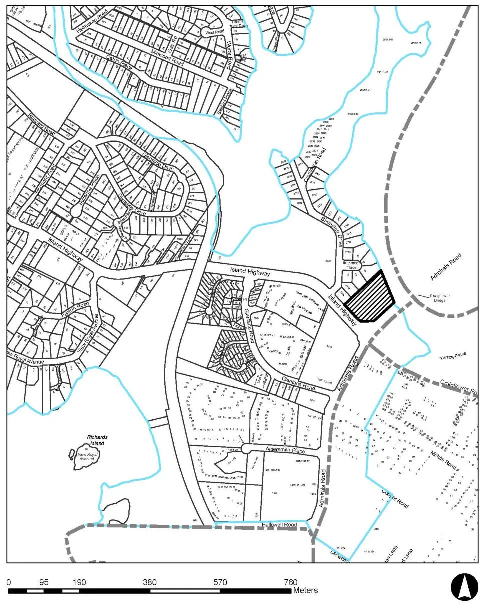
Attachment 1. Property Location Map
January 14, 2020Page 542 sections
Map showing the location of the 1801 Admirals Road property.
Report to Committee of the Whole
Development Permit 2019/12 – 1801 Admirals Road Meeting Date: January 14, 2020
Page 54
ATTACHMENTS:
- Property Location Map
- Letter from applicant – November 8, 2019 (3 pages)
- Architectural Plans – D’Ambrosio Architecture & Urbanism, October 23, 2019 (8 pages)
- Landscape Plans – LADR Landscape Architects, October 8, 2019 (2 pages)
- Storm Water Management Plan – OnPoint Project Engineers, Oct. 24, 2019 (6 pages)
- Biologists Report - Swell Environmental Reporting, October 26, 2019 (20 pages)
- Natural Water and Shoreline Development Permit Area Guidelines (6 pages)
- Arborists Report - Talbot McKenzie & Associates, October 30, 2019 (25 pages)
Attachment 1. Property Location Map
Page 54
Extracted from: 2020 01 14 Committee of the Whole Agenda - Agenda - Pdf