This site is in beta — data may be incomplete and features are still being added.
Committee of the Whole/Documents/Subject Property Map - 1511 Admirals Rd
Appendix

Subject Property Map - 1511 Admirals Rd

December 13, 2011Page 471 section

Property map identifying the subject site at 1511 Admirals Road.

2 APPROVAL OF AGENDA
1511 Admirals Road

Subject Property Map
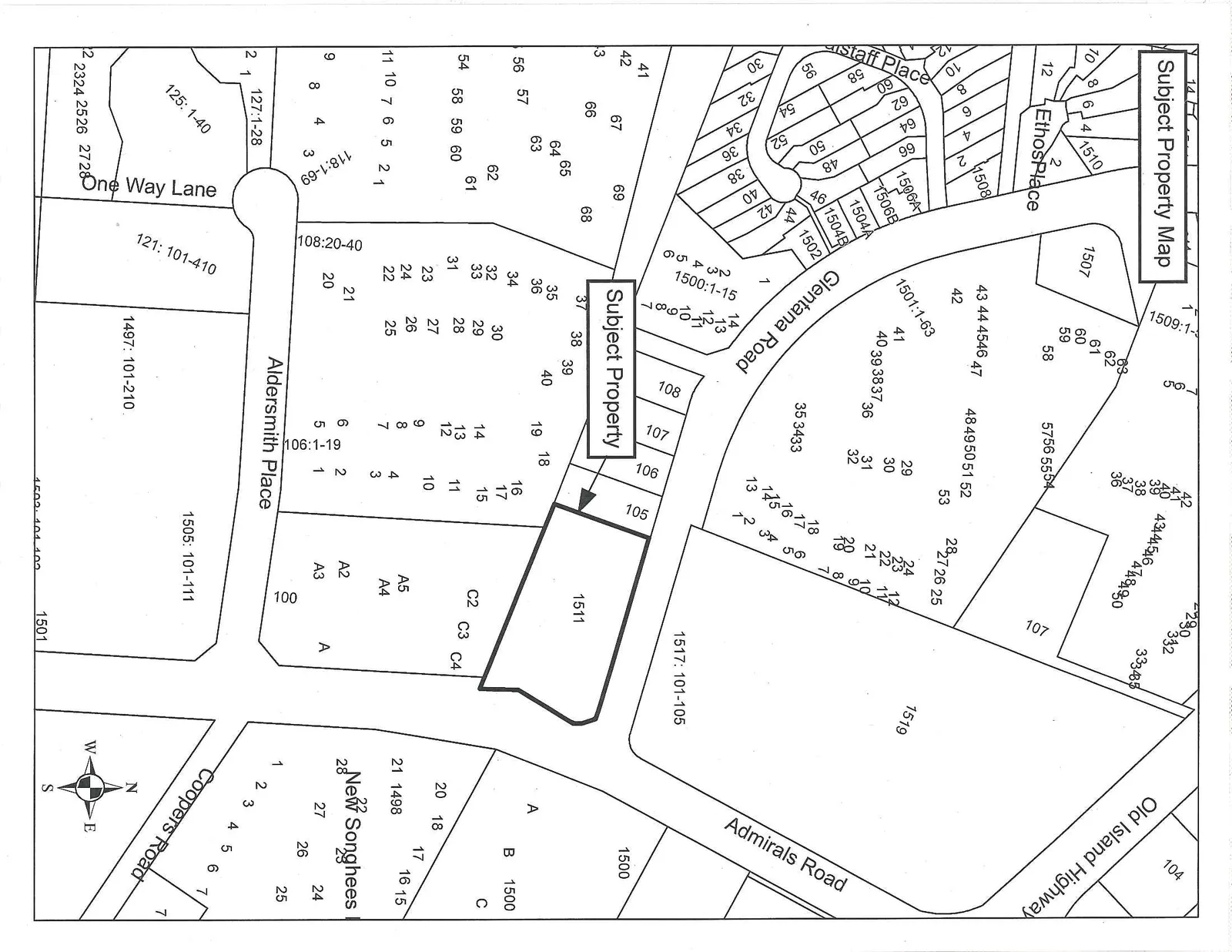
A cadastral map titled "Subject Property Map" highlighting a parcel of land identified as Lot 1511. The map shows the surrounding neighborhood with streets including Old Island Highway, Admirals Road, Glentana Road, Aldersmith Place, Coopers Road, Staff Place, Ethos Place, and One Way Lane. Numerous numbered lots are shown, including 1500, 1501, 1505, 1507, 1517, 1519, and the New Songhees area. A compass rose indicates orientation.
Page 47
Extracted from: 2011 12 13 Committee of the Whole Agenda