Plans and Elevations – 275 Kerwood St
Architectural drawings including site plans, floor plans, sections, and elevations for the proposed development at 275 Kerwood St.
Page 1: P142
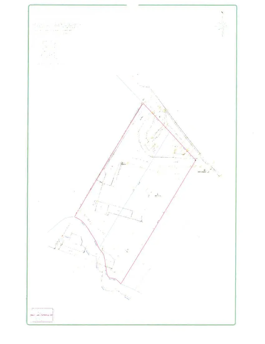
SITE PLAN OF LOTS 1 AND 1-A, BLOCK 12, SECTION 27, ESQUIMALT DISTRICT, PLAN 1688.
Scale 1:150. All distances are in metres.
Page 2: P143
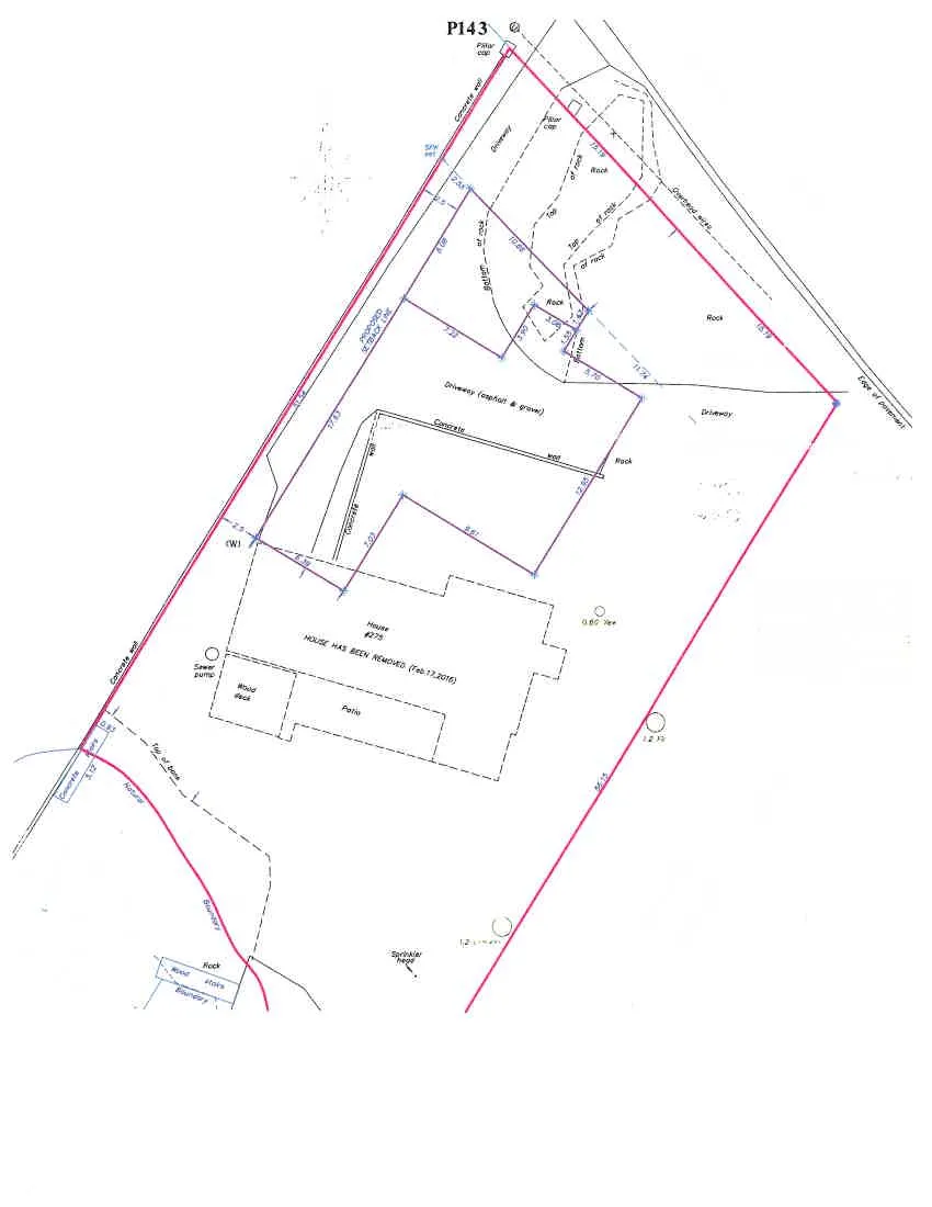
Detailed Site Plan - 275 Kerwood St.
Page 3: P144
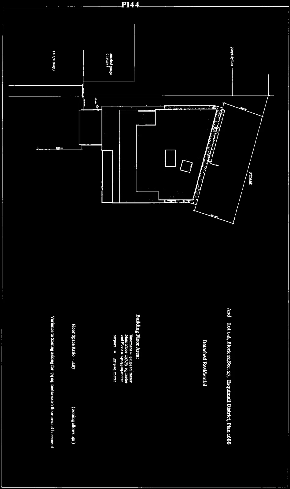
Context Plan & Site Data
Civic Address: 275 Kerwood St.
Legal Description: Lot 1, Block 12, Section 27, Esquimalt District, Plan 1688 And Lot 1-A, Block 12, Section 27, Esquimalt District, Plan 1688
Zone: R1 Detached Residential
Site Area (combined): 1,556 sq. meters
- width: 29 meters
Lot Coverage: 450 sq. meters (29% approx.)
Building Floor Area:
- Basement = 92.34 sq. meter
- Main Floor = 197.73 sq. meter
- 2nd Floor = 142.95 sq. meter
- carport = 57.9 sq. meter
- carport credit = - 45.00
- Total = 445.92 sq. meter (zoning allows 372 sq. meters)
Floor Space Ratio = .287 (zoning allows .42)
Variance to Zoning: Asking for 74 sq. meter extra floor area at basement.
Page 4: P145
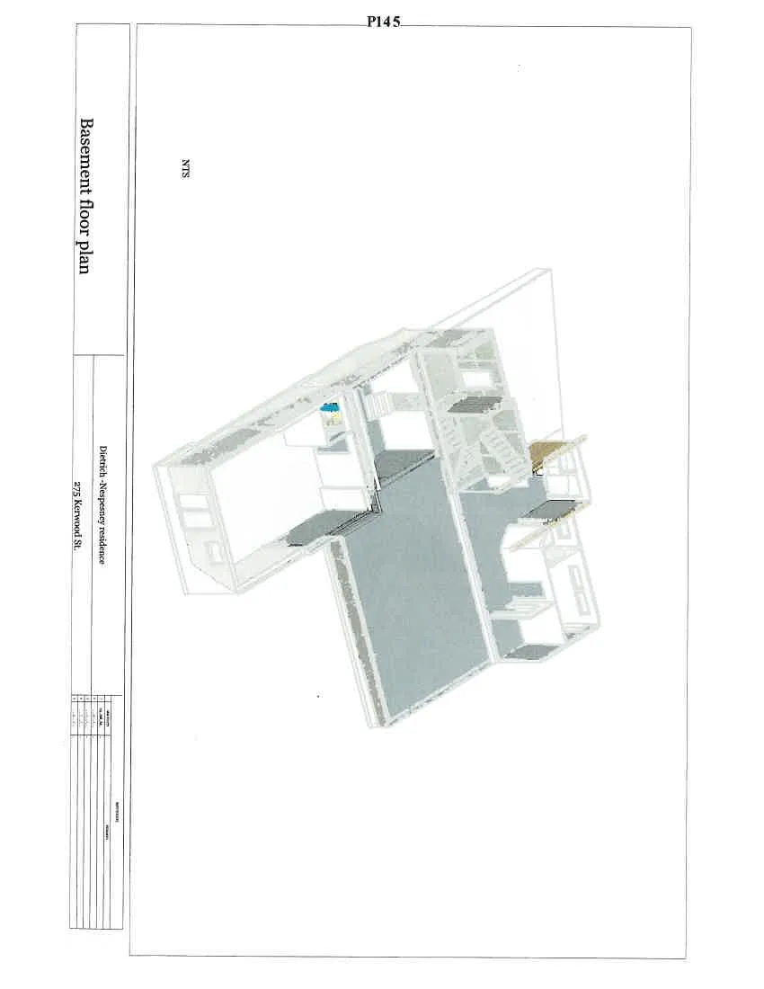
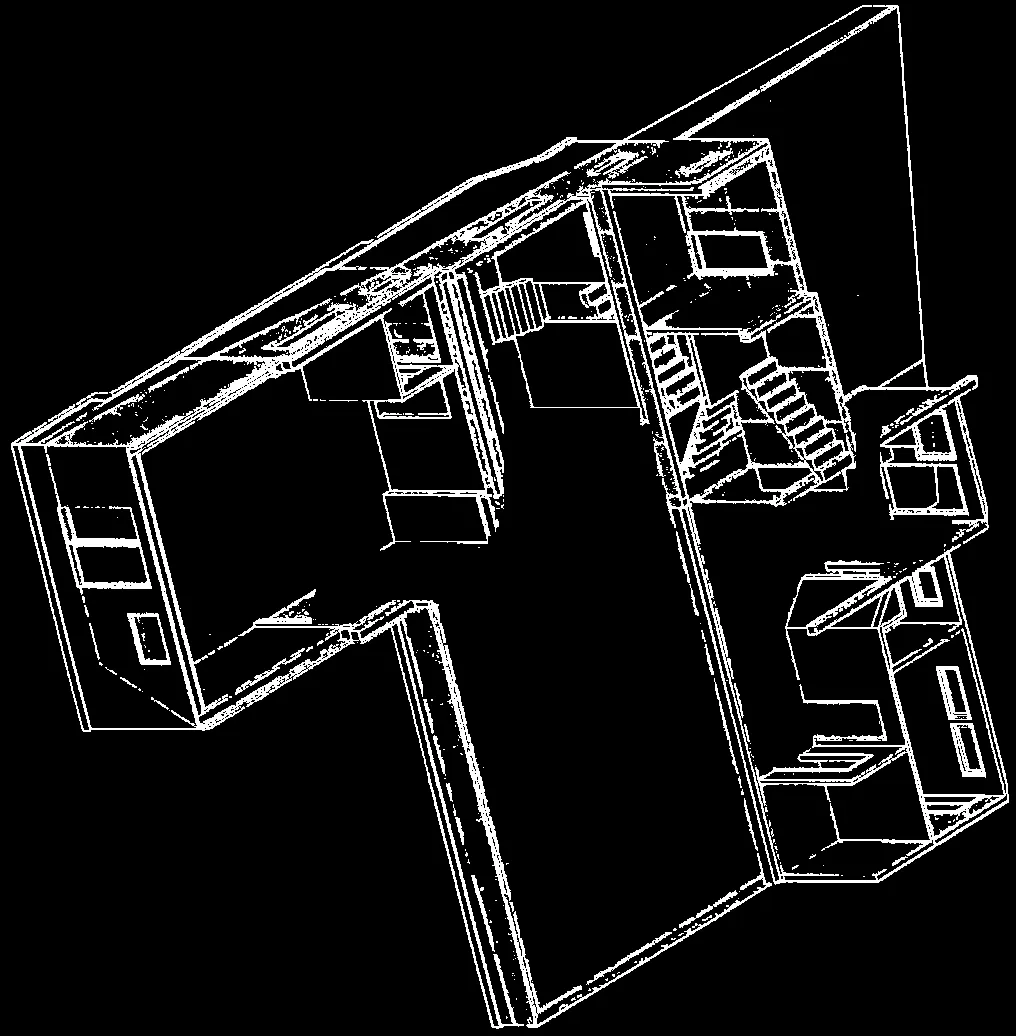
Basement floor plan
Page 5: P146
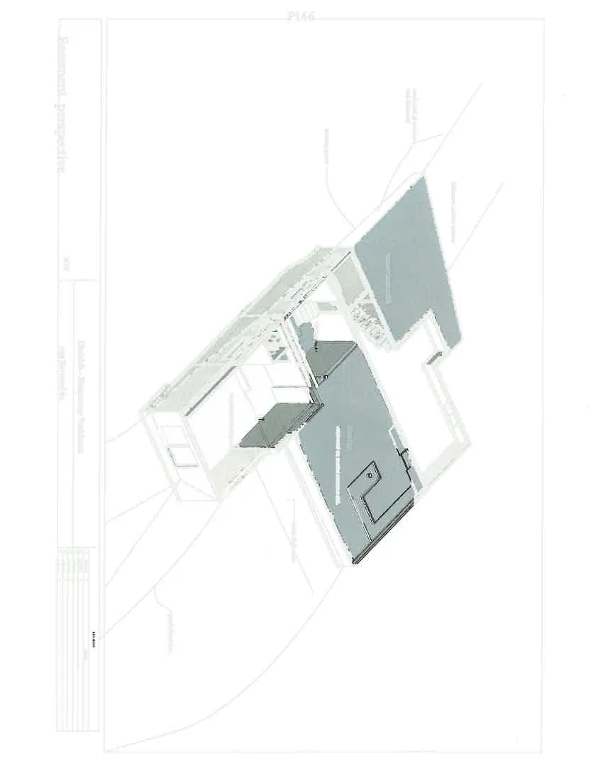
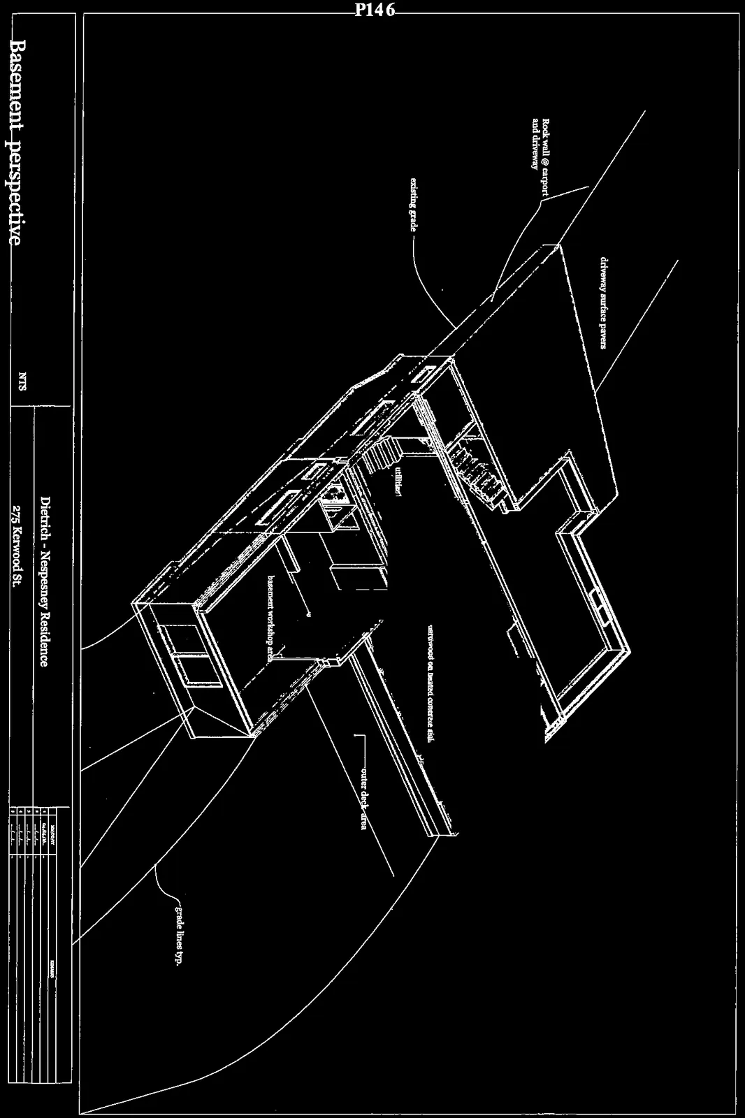
Basement perspective
Page 6: P147
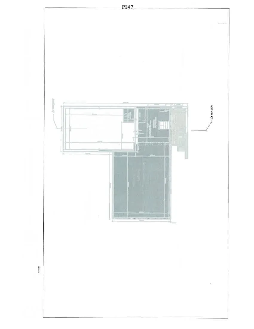
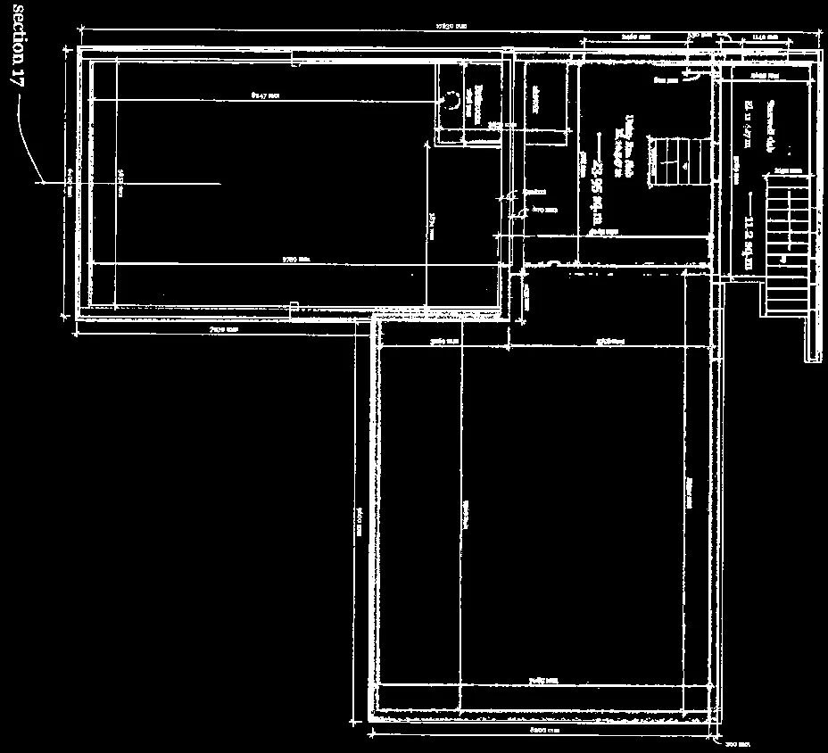
Basement Floor Plan
Scale 1:50
- 92.34 sq. metre floorspace basement
Page 7: P148
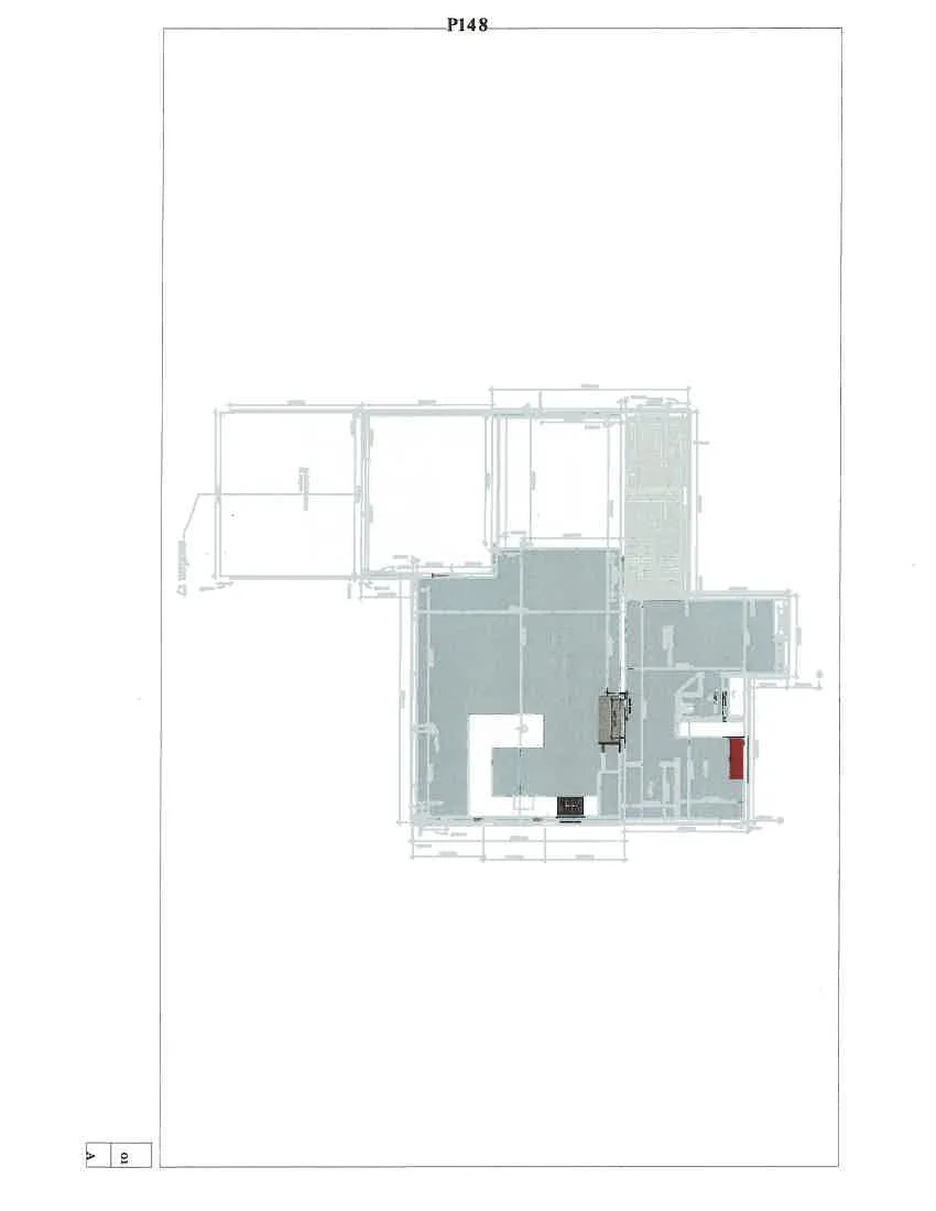
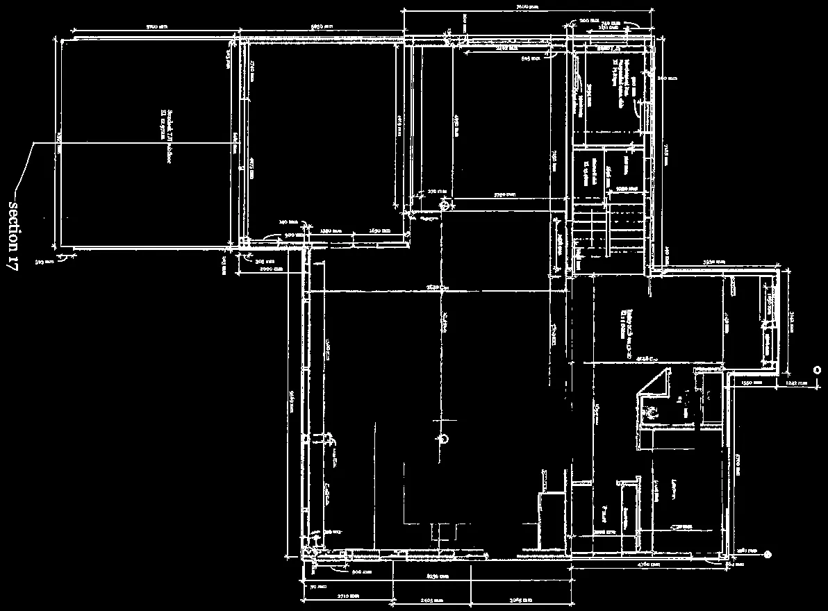
Main Floor Plan
Scale 1:50
- 197.73 Sq. Meters
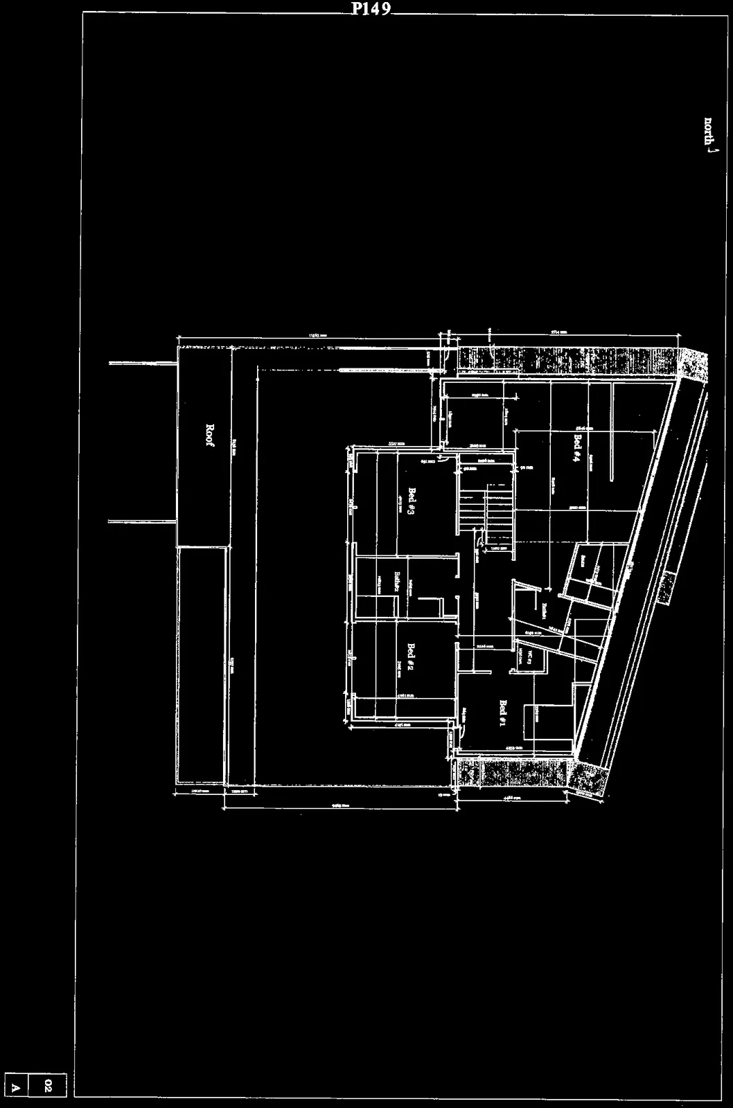
Page 8: P149
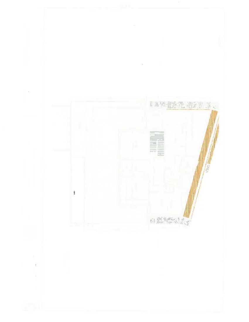
2nd Floor Plan
Scale 1:50
- 142.95 sq. meter floor space
Page 9: P150
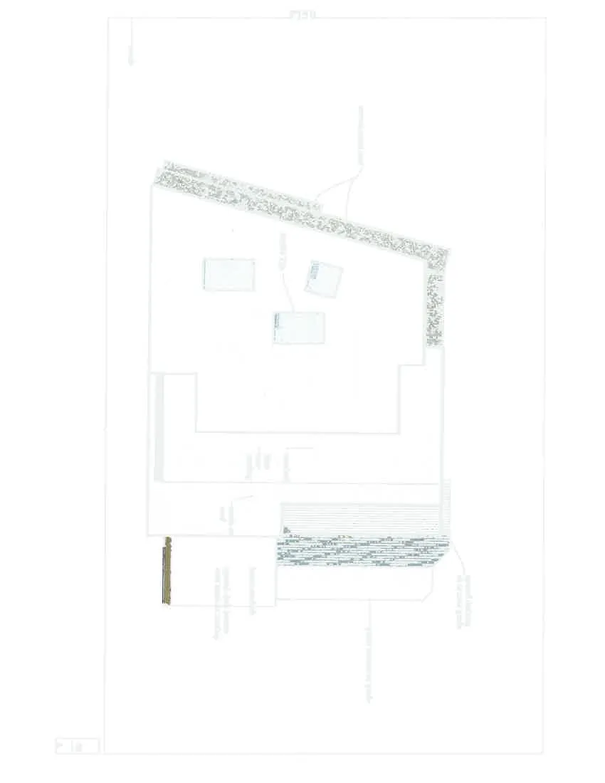
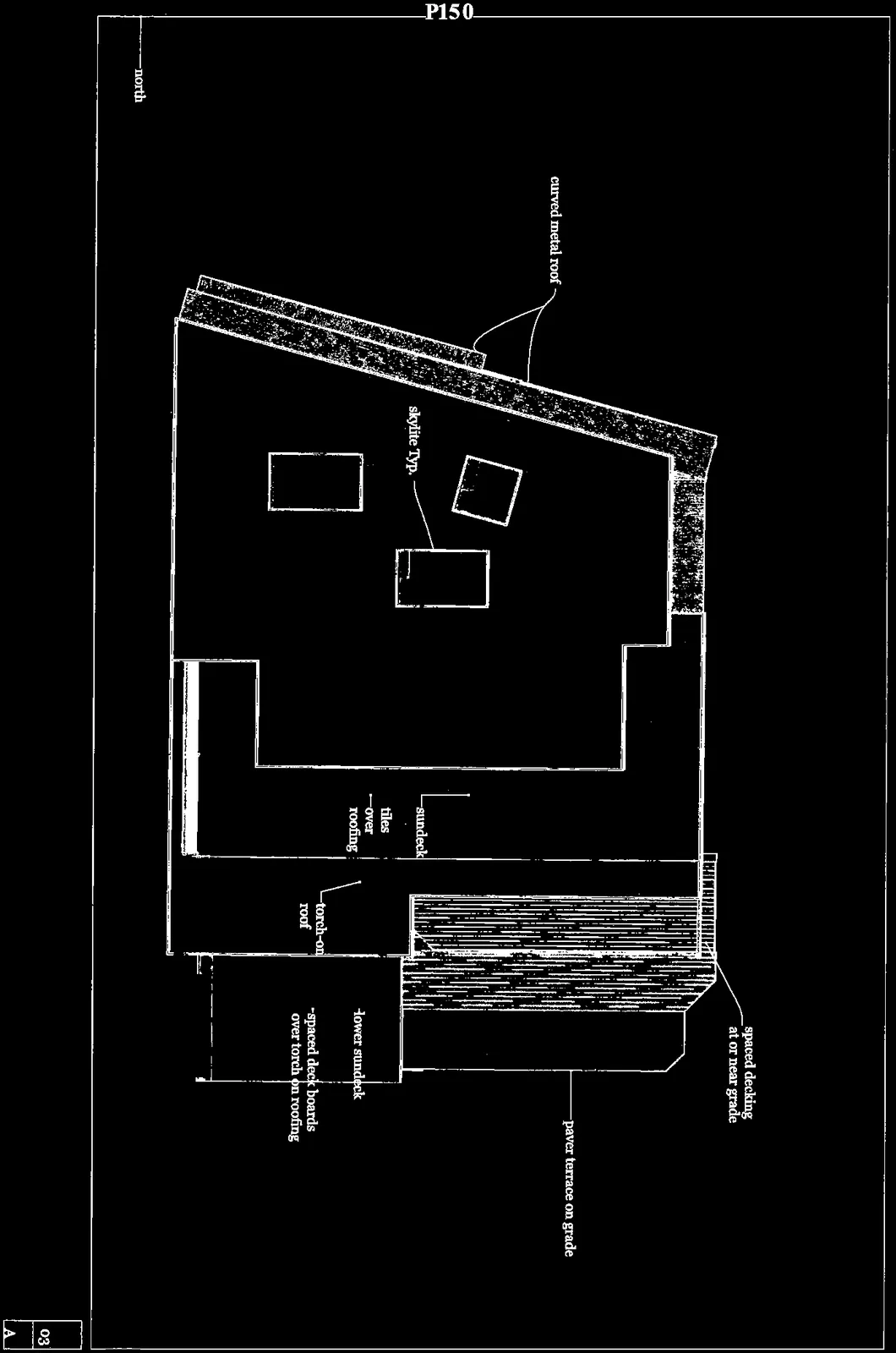
Roof and Deck
Scale 1:50
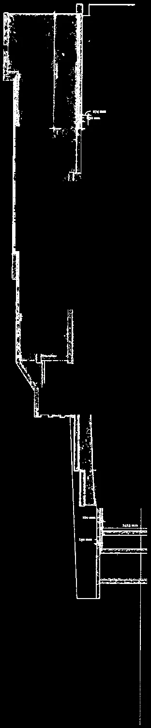
Page 10: P151
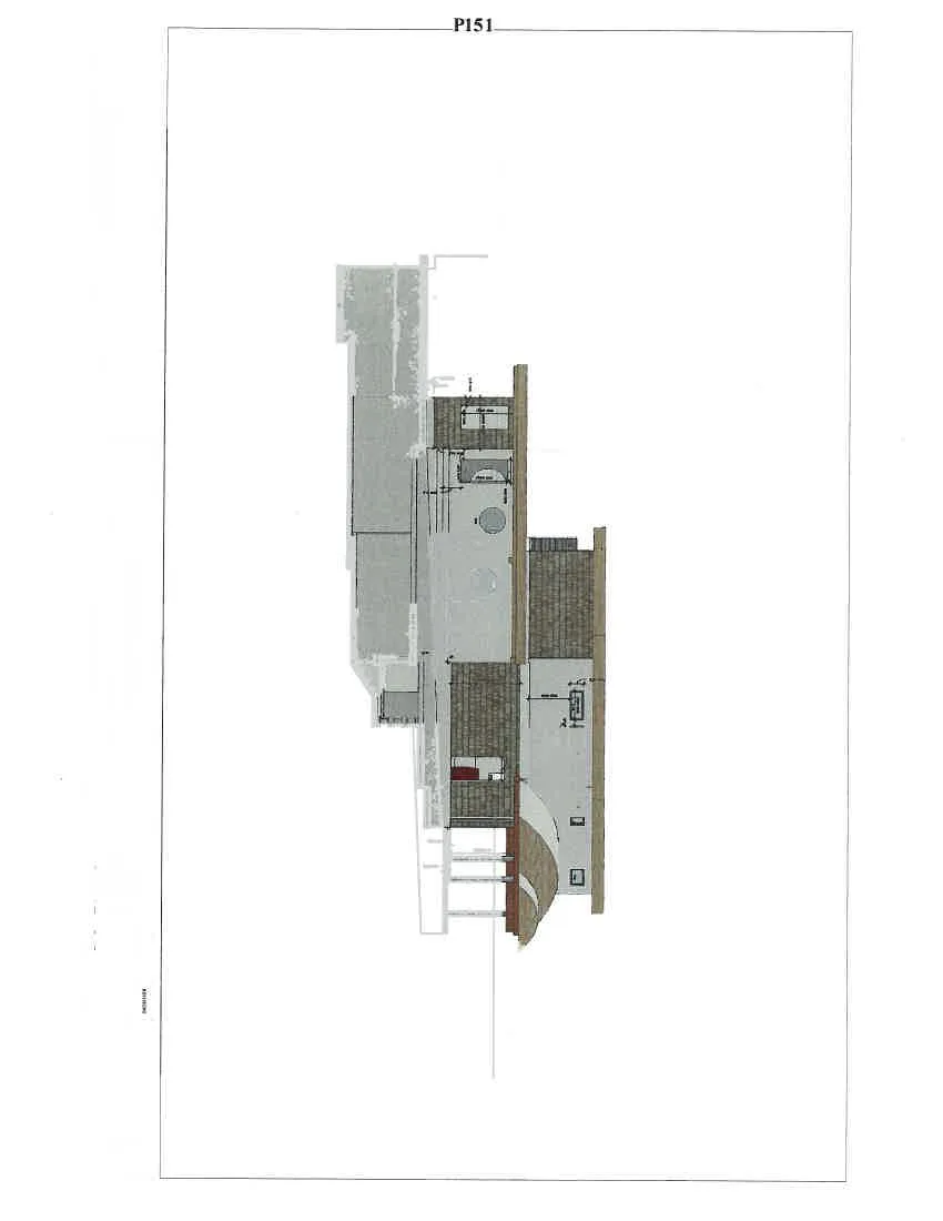
East Elevation
Scale 1:50
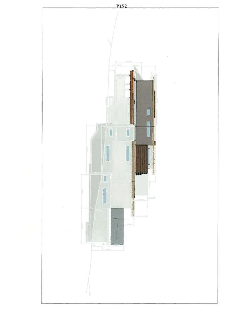
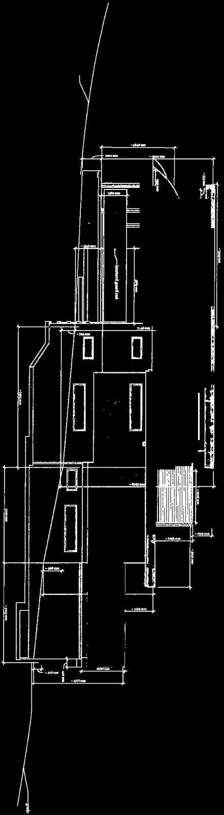
Page 11: P152
West Elevation
Scale 1:50
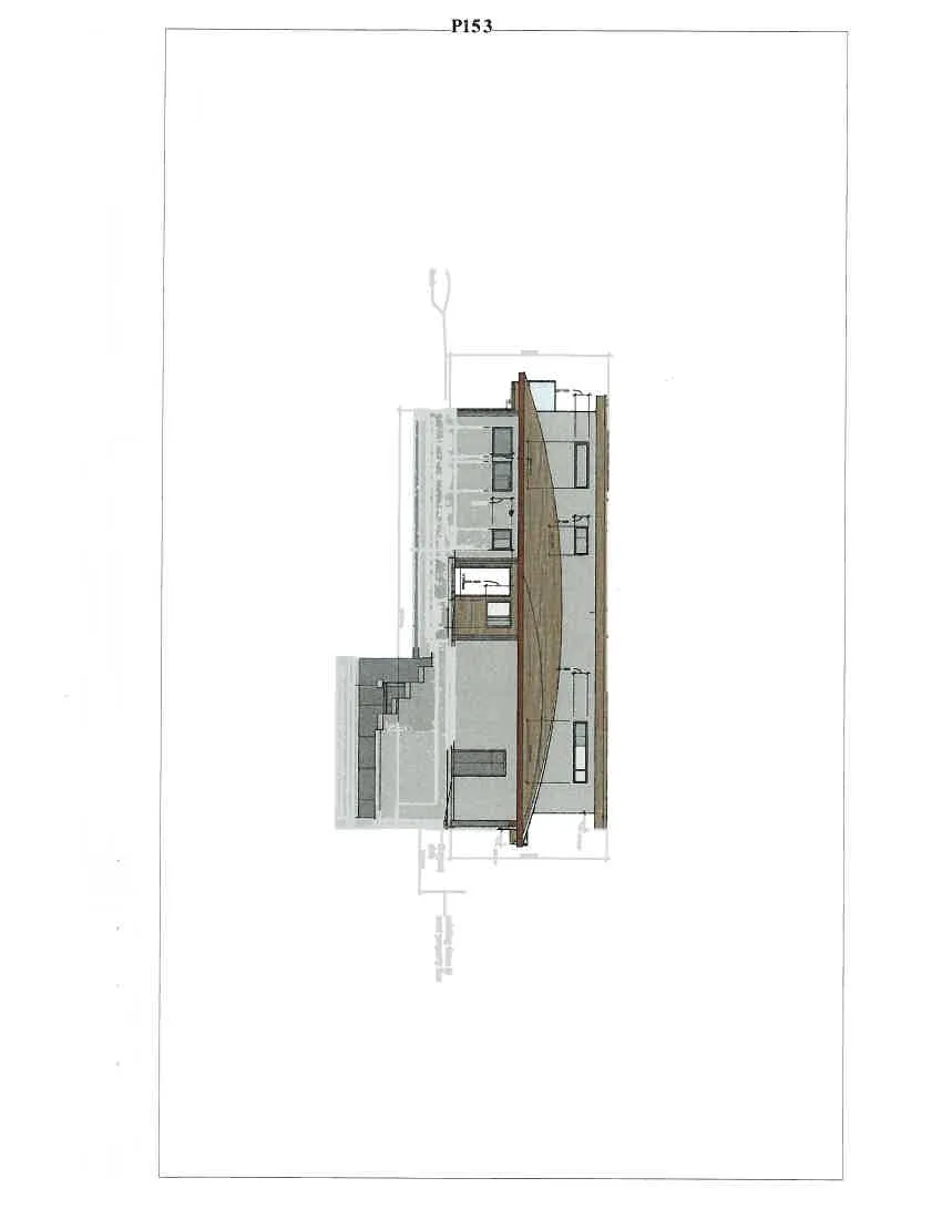
Page 12: P153
North elevation
Scale 1:50
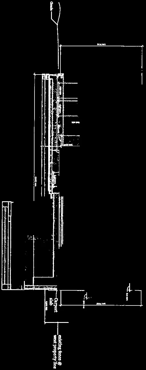
Page 13: P154
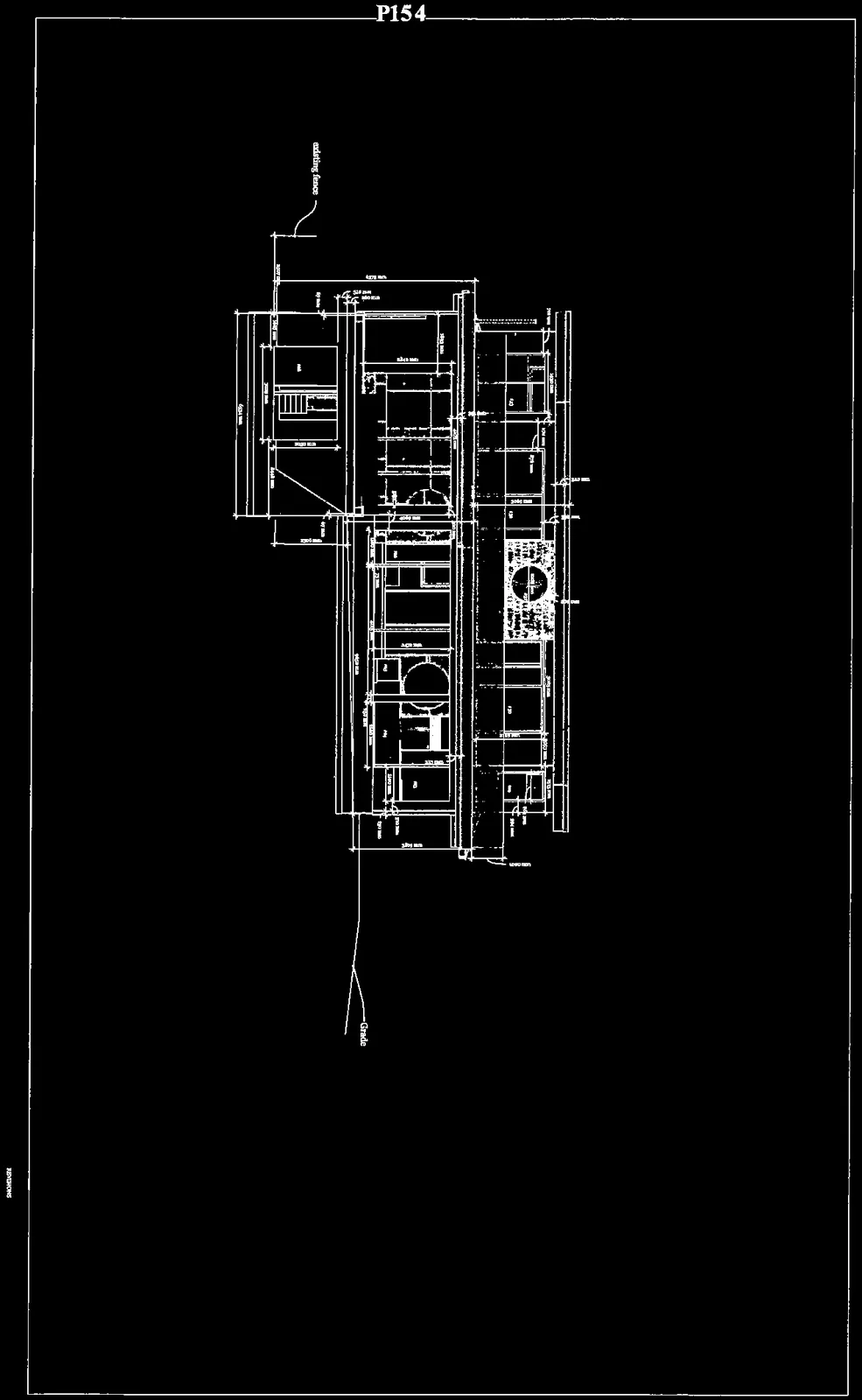
South Elevation
Scale 1:50
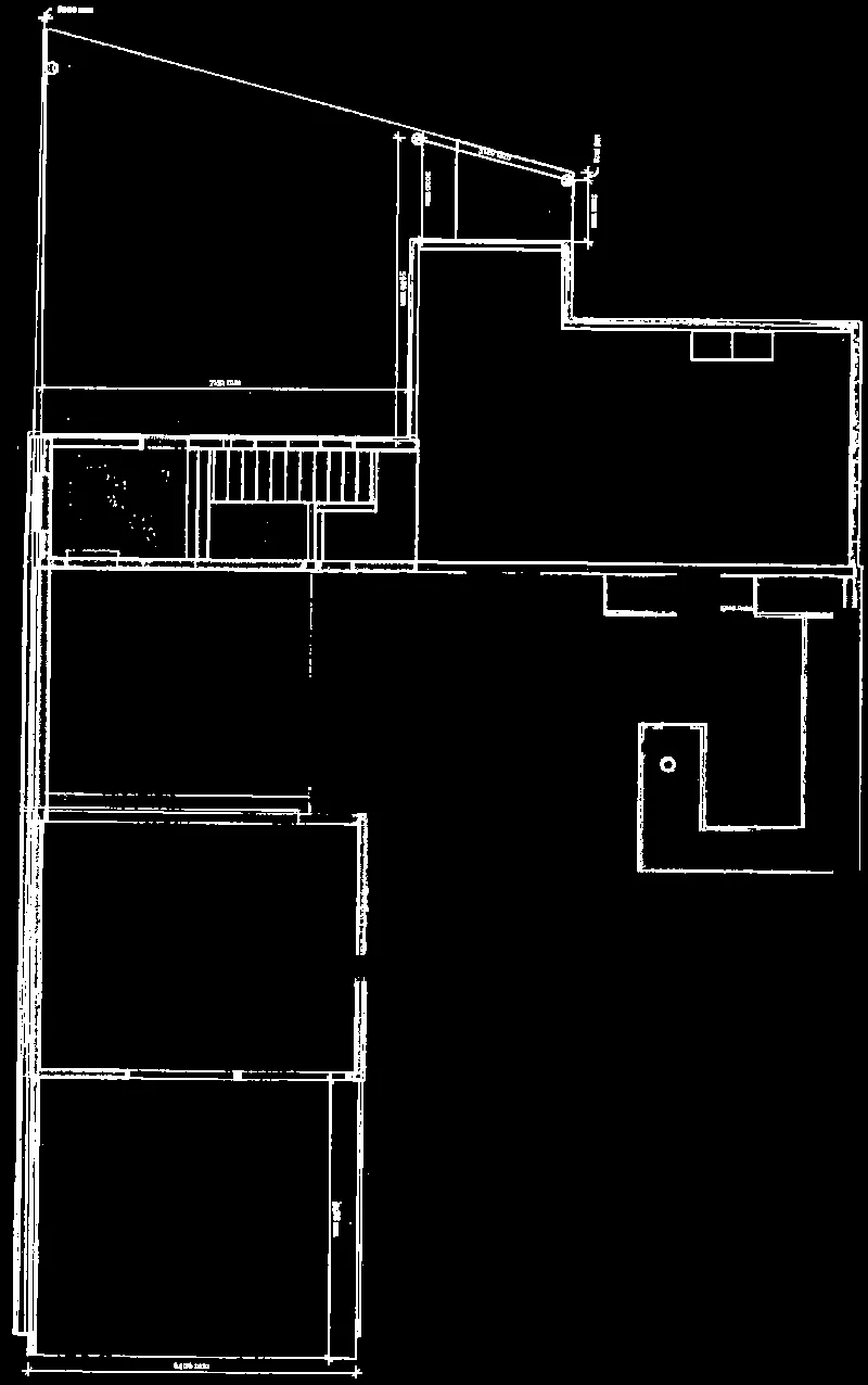
Page 14: P155
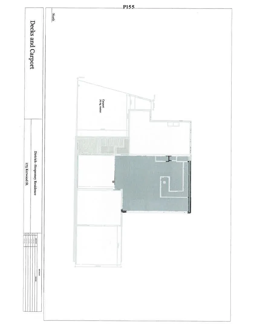
Decks and Carport
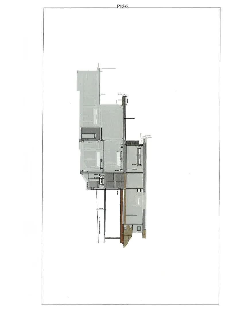
Page 15: P156
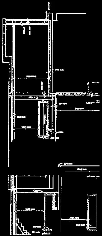
Section 17
Scale 1:50
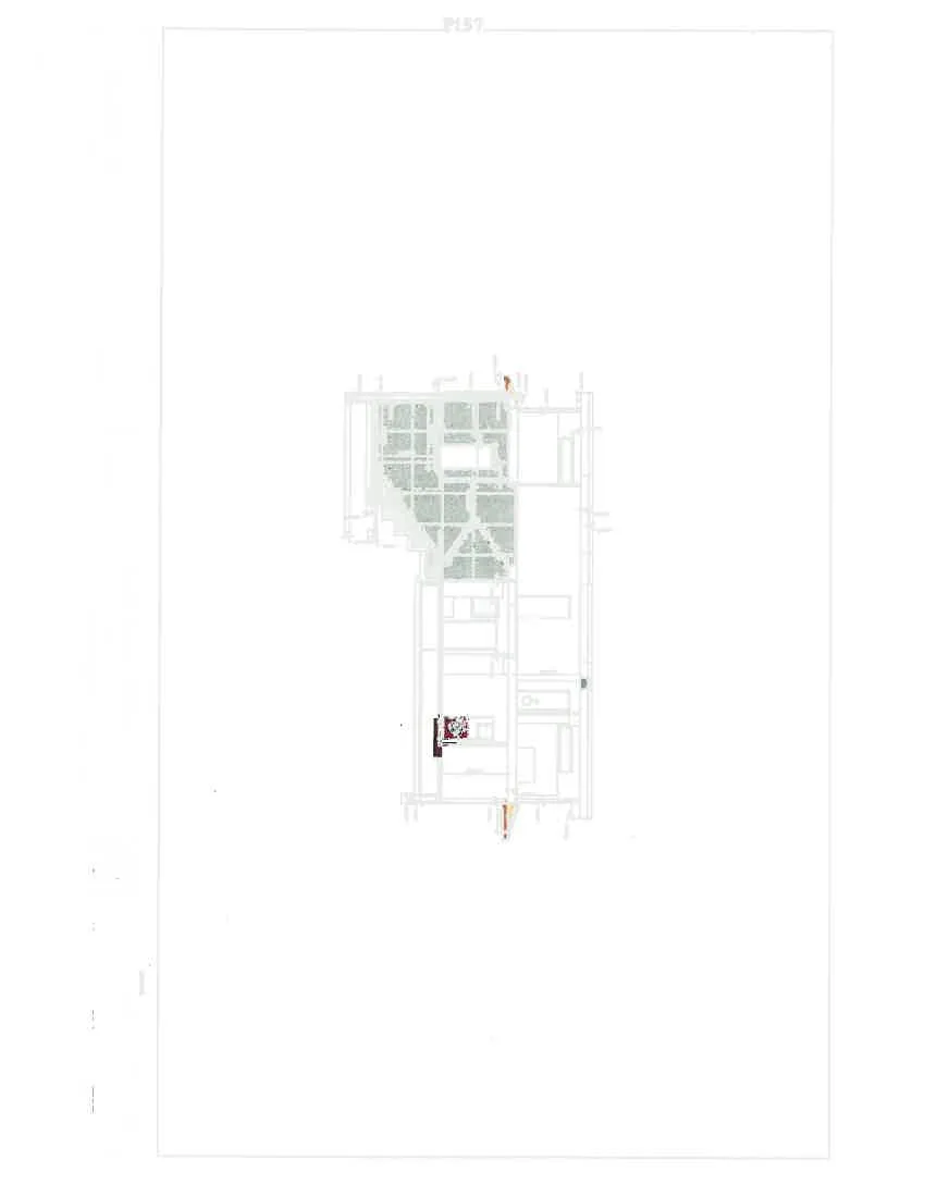
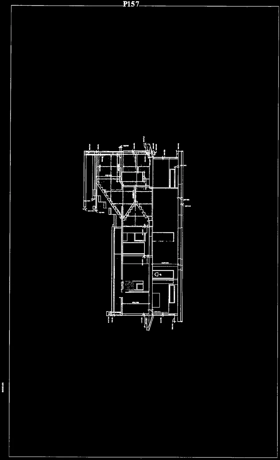
Page 16: P157
Section 18
Scale 1:50

Document Images
(10)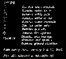
Legend detail for site plan features including concrete walls, utility poles, hydrants, and various pins/monuments

Compass rose indicating North
Survey information box for File: 36A-PICIN-RLO, Date: February 24, 2016, by Island Land Surveying Ltd.

Text detail indicating a "Wrought iron fence" and "BEAUMONT AVENUE"
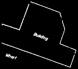
Detail showing a "Building" and "Wharf" located at the shoreline boundary

Shoreline text detail indicating "Natural" and "Present" boundary lines

Detail of the upper roofline and balcony for the East Elevation

Central detail of the East Elevation showing window and door placements