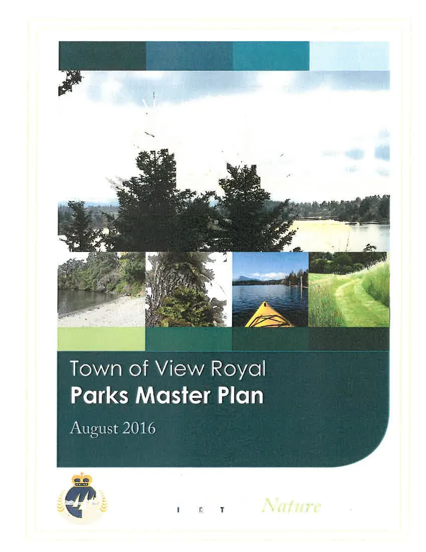
Town of View Royal Parks Master Plan August 2016
Comprehensive draft plan outlining the vision, environmental context, community engagement results, and action plans for the Town's park system.
Town of View Royal Parks Master Plan
August 2016

Letter of Transmittal
June 9, 2016
Town of View Royal 45 View Royal Avenue Victoria BC V9B 1A5
Dear Mayor Screech and Council Members,
We are pleased to present you with this draft copy of the new Town of View Royal Parks Master Plan.
This Plan builds on the previous draft Parks and Trail Plan (2007) along with the comments and suggestions of engaged community members, direction from staff, and research on “state of the art” park planning across many jurisdictions.
The Plan provides background information on the current array of park opportunities in View Royal, and also speaks to how parks might evolve in the future.
We appreciate Council’s willingness to work with students from Vancouver Island University’s Master of Community Planning Program on this initiative. This has provided students with an invaluable opportunity to participate in the development of all aspects of a plan, including a range of public consultation activities. This project is an important component in shaping our students as both academics and practitioners. We hope this is the first of many opportunities to work with the Town of View Royal.
We look forward to your comments and the completion of this important project.
Sincerely,
Pamela Shaw, PhD MCIP RPP FRCGS Director, Master of Community Planning Program Vancouver Island University
Acknowledgements
Graduate students in the Master of Community Planning Program at Vancouver Island University have prepared this Plan for the Town of View Royal. We would like to first acknowledge the Mayor and Council:
- Mayor David Screech
- Councillor Aaron Weisgerber
- Councillor John Rogers
- Councillor Heidi Rast
- Councillor Ron Mattson
Their willingness to take a risk and work with students is highly commended.
Further, we would like to acknowledge the support and commitment of Town of View Royal staff to the success of this project:
- Lindsay Chase MCIP, RPP – Director of Development Services
- Kim Anema – Chief Administrative Officer
- John Rosenberg – Director of Engineering and Parks
- Dave Podmoroff – Supervisor of Parks
- Jeff Chow, MCIP, RPP – Senior Planner
- James Davison MCIP, RPP – Planner
- Dawn Miles – Administrative Assistant
- Julie Crockett – Administrative Assistant
The project could not have been completed without their guidance and direction.
We would also like to take this opportunity to thank all the Town of View Royal residents who so generously gave their time, ideas, and input to this project. The public engagement exercises were by far the students’ favourite part of this exercise. Thank you for providing us with this experience.
The consulting team: Vancouver Island University Master of Community Planning Students (2016/17)
- Benafshaw Dashti
- Sadie Beaudoin-Lobb
- Katie Burridge
- Lisa Webster-Gibson
- Keltie Chamberlain
- Megan Walker
- Stephanie Allen
- Chloe Tunis
- Peter Johnston
- Talor Alexander
- Devan Cronshaw
- Teunesha Evertse
- Ted Houyuan
- Guidan Chan
- Christopher Stephens
- Kyle Wardstrom
- Darren Lucas
- Lindsay Malbon
- Graham Sakaki
- Rushi Gadoya
Table of Contents
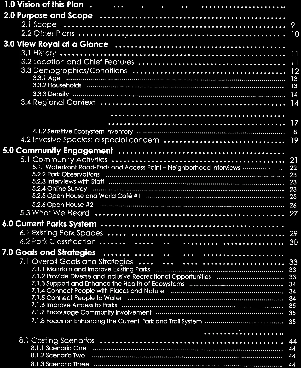
1.0 Vision of this Plan ... 7 2.0 Purpose and Scope ... 9 2.1 Scope ... 9 2.2 Other Plans ... 10 3.0 View Royal at a Glance ... 11 3.1 History ... 11 3.2 Location and Chief Features ... 11 3.3 Demographics/Conditions ... 12 3.3.1 Age ... 13 3.3.2 Households ... 13 3.3.3 Density ... 14 3.4 Regional Context ... 14 4.0 Environmental Context ... 17 4.1 Principal Features ... 17 4.1.2 Sensitive Ecosystem Inventory ... 18 4.2 Invasive Species: a special concern ... 19 5.0 Community Engagement ... 21 5.1 Community Activities ... 21 5.1.1 Waterfront Road-Ends and Access Point – Neighborhood Interviews ... 22 5.2.2 Park Observations ... 23 5.2.3 Interviews with Staff ... 23 5.2.4 Online Survey ... 23 5.2.5 Open House and World Café #1 ... 25 5.2.6 Open House #2 ... 26 5.3 What We Heard ... 27 6.0 Current Parks System ... 29 6.1 Existing Park Spaces ... 29 6.2 Park Classification ... 30 7.0 Goals and Strategies ... 33 7.1 Overall Goals and Strategies ... 33 7.1.1 Maintain and Improve Existing Parks ... 33 7.1.2 Provide Diverse and Inclusive Recreational Opportunities ... 33 7.1.3 Support and Enhance the Health of Ecosystems ... 34 7.1.4 Connect People with Places and Nature ... 34 7.1.5 Connect People to Water ... 34 7.1.6 Improve Access to Parks ... 35 7.1.7 Encourage Community Involvement ... 35 7.1.8 Focus on Enhancing the Current Park and Trail System ... 35 8.0 Action Plan ... 37 8.1 Costing Scenarios ... 44 8.1.1 Scenario One ... 44 8.1.2 Scenario Two ... 44 8.1.3 Scenario Three ... 44 9.0 Appendix ... 47
1.0 Vision of this Plan
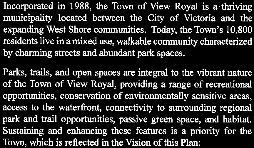
Incorporated in 1988, the Town of View Royal is a thriving municipality located between the City of Victoria and the expanding West Shore communities. Today, the Town’s 10,800 residents live in a mixed use, walkable community characterized by charming streets and abundant park spaces.
Parks, trails, and open spaces are integral to the vibrant nature of the Town of View Royal, providing a range of recreational opportunities, conservation of environmentally sensitive areas, access to the waterfront, connectivity to surrounding regional park and trail opportunities, passive green space, and habitat. Sustaining and enhancing these features is a priority for the Town, which is reflected in the Vision of this Plan:
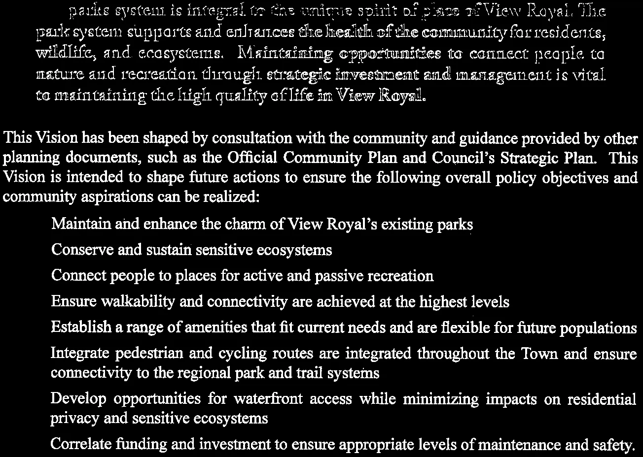
The parks system is integral to the unique spirit of place of View Royal. The park system supports and enhances the health of the community for residents, wildlife, and ecosystems. Maintaining opportunities to connect people to nature and recreation through strategic investment and management is vital to maintaining the high quality of life in View Royal.
This Vision has been shaped by consultation with the community and guidance provided by other planning documents, such as the Official Community Plan and Council’s Strategic Plan. This Vision is intended to shape future actions to ensure the following overall policy objectives and community aspirations can be realized:
- Maintain and enhance the charm of View Royal’s existing parks
- Conserve and sustain sensitive ecosystems
- Connect people to places for active and passive recreation
- Ensure walkability and connectivity are achieved at the highest levels
- Establish a range of amenities that fit current needs and are flexible for future populations
- Integrate pedestrian and cycling routes are integrated throughout the Town and ensure connectivity to the regional park and trail systems
- Develop opportunities for waterfront access while minimizing impacts on residential privacy and sensitive ecosystems
- Correlate funding and investment to ensure appropriate levels of maintenance and safety.
2.0 Purpose and Scope
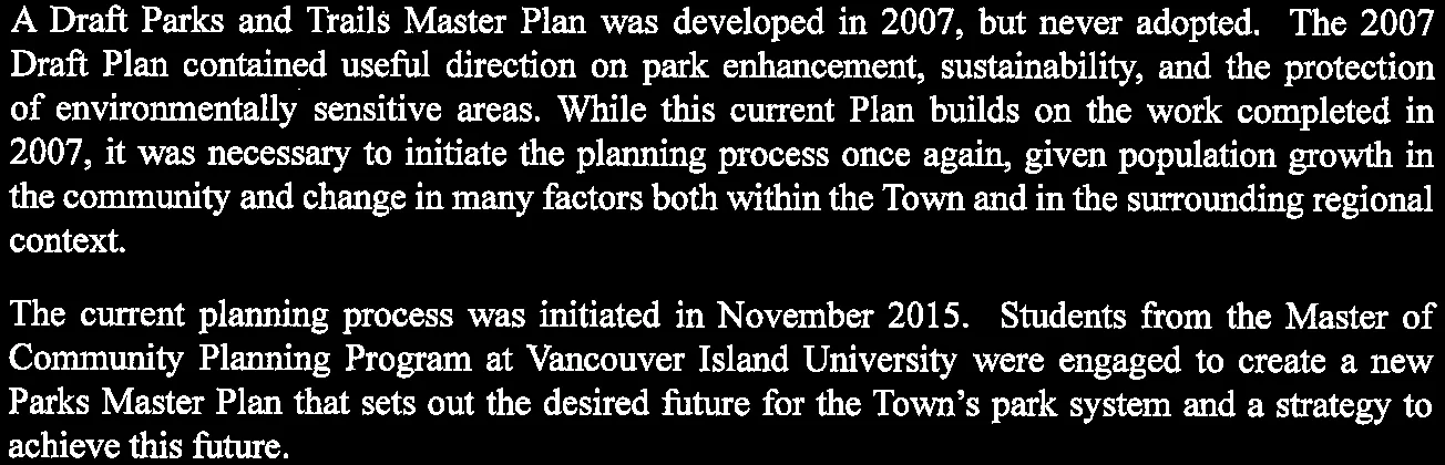
A Draft Parks and Trails Master Plan was developed in 2007, but never adopted. The 2007 Draft Plan contained useful direction on park enhancement, sustainability, and the protection of environmentally sensitive areas. While this current Plan builds on the work completed in 2007, it was necessary to initiate the planning process once again, given population growth in the community and change in many factors both within the Town and in the surrounding regional context.
The current planning process was initiated in November 2015. Students from the Master of Community Planning Program at Vancouver Island University were engaged to create a new Parks Master Plan that sets out the desired future for the Town’s park system and a strategy to achieve this future.
The Terms of Reference for this project established these deliverables:
- Review the current parks and trails system and identify gaps and opportunities
- Assess community needs based on current population and demographic trends
- Set out a vision for the View Royal Park System, reflecting aspirations for the future
- Identify possibilities and potential means to achieve this vision through the current park and trail assets
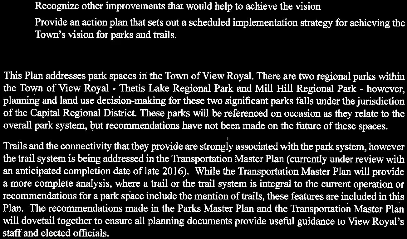
- Recognize other improvements that would help to achieve the vision
- Provide an action plan that sets out a scheduled implementation strategy for achieving the Town’s vision for parks and trails.
2.1 Scope
This Plan addresses park spaces in the Town of View Royal. There are two regional parks within the Town of View Royal - Thetis Lake Regional Park and Mill Hill Regional Park - however, planning and land use decision-making for these two significant parks falls under the jurisdiction of the Capital Regional District. These parks will be referenced on occasion as they relate to the overall park system, but recommendations have not been made on the future of these spaces.
Trails and the connectivity that they provide are strongly associated with the park system, however the trail system is being addressed in the Transportation Master Plan (currently under review with an anticipated completion date of late 2016). While the Transportation Master Plan will provide a more complete analysis, where a trail or the trail system is integral to the current operation or recommendations for a park space include the mention of trails, these features are included in this Plan. The recommendations made in the Parks Master Plan and the Transportation Master Plan will dovetail together to ensure all planning documents provide useful guidance to View Royal’s staff and elected officials.
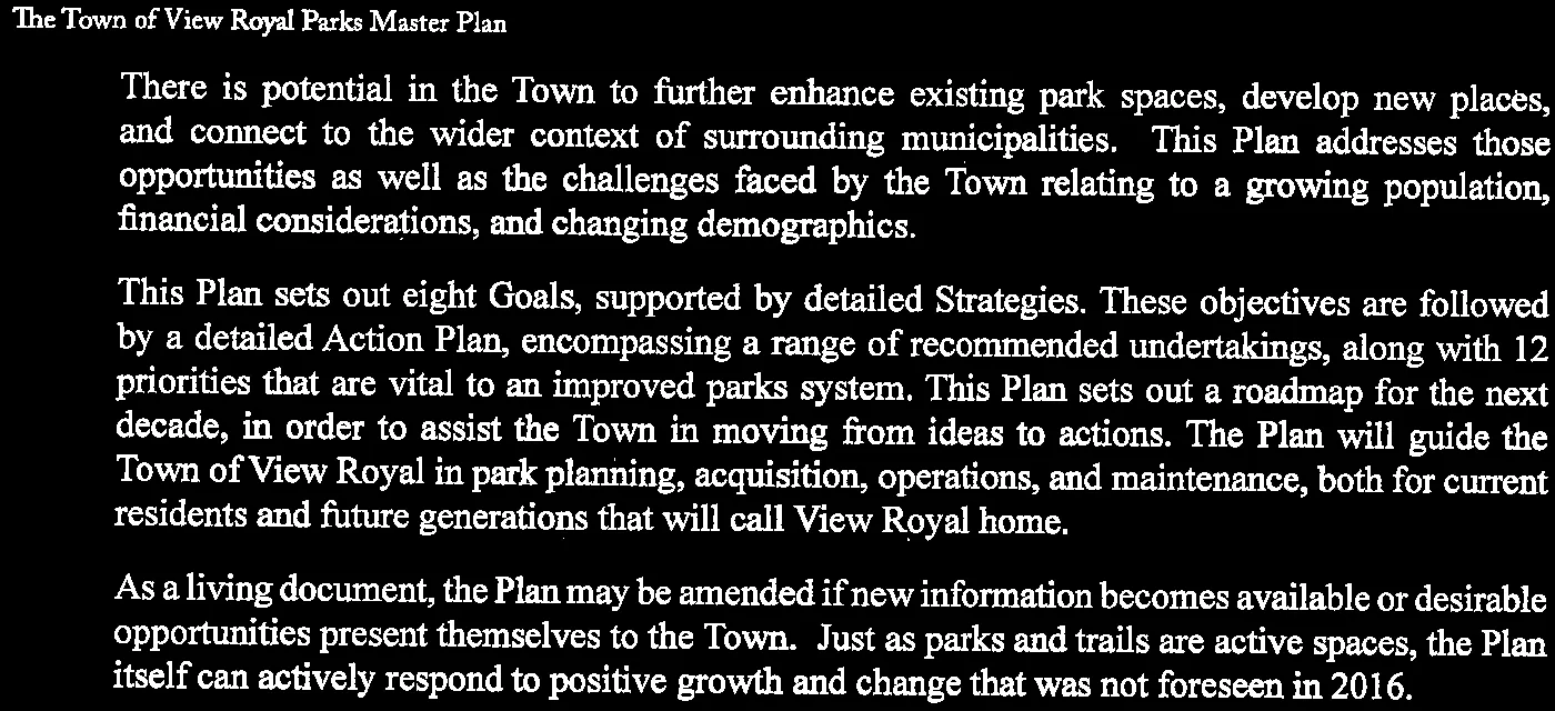
There is potential in the Town to further enhance existing park spaces, develop new places, and connect to the wider context of surrounding municipalities. This Plan addresses those opportunities as well as the challenges faced by the Town relating to a growing population, financial considerations, and changing demographics.
This Plan sets out eight Goals, supported by detailed Strategies. These objectives are followed by a detailed Action Plan, encompassing a range of recommended undertakings, along with 12 priorities that are vital to an improved parks system. This Plan sets out a roadmap for the next decade, in order to assist the Town in moving from ideas to actions. The Plan will guide the Town of View Royal in park planning, acquisition, operations, and maintenance, both for current residents and future generations that will call View Royal home.
As a living document, the Plan may be amended if new information becomes available or desirable opportunities present themselves to the Town. Just as parks and trails are active spaces, the Plan itself can actively respond to positive growth and change that was not foreseen in 2016.
2.2 Guiding Planning Documents
This Plan builds on work that has been completed by the Town since its incorporation in 1988 and fully complies with the Town’s Official Community Plan (OCP). It should be reviewed in conjunction with the OCP and other planning documents when considering future development applications or major works that may impact parks in View Royal.
Other documents and Town policies were referenced in developing the Plan (key points are summarized in Section 3). These include:
- Capital Regional District Community Green Map 2016
- Annual Municipal Objective Reports (ongoing)
- Town of View Royal Invasive Species Brochure
- Town of View Royal Public Shoreline Accesses
- Policies on tree removal or alteration, sign permits, and engineering servicing agreements.
There are important linkages and overlapping goals among these plans and policies that address improving trail connections, acquiring new parkland, enhancing habitat corridors, regulating development cost charges, managing amenity donations, and protecting tree canopy coverage. The planning documents fit together to provide cohesive direction and ensure that all departments work toward common goals.
3.0 View Royal at a Glance
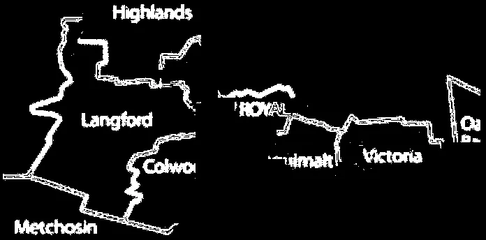
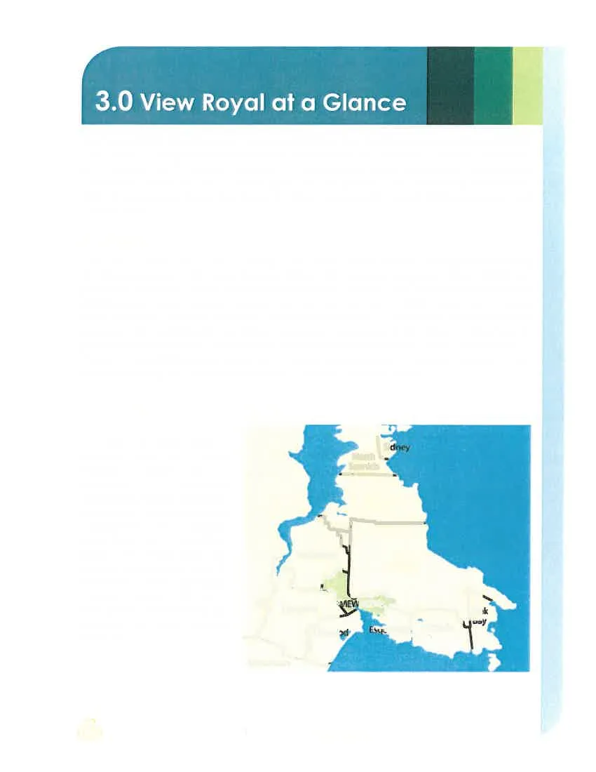
The Town of View Royal is one of 13 municipalities that form the Capital Regional District (CRD). View Royal is the gateway to the Western Communities of Metchosin, Colwood, Highlands, and Langford and is strongly connected by transportation routes, employment opportunities, commuting patterns, as well as various parks and trail systems in the surrounding communities. Water is a significant feature that shapes the Town, most notably around Esquimalt Harbour and Portage Inlet.
3.1 History
The Town of View Royal is rich in history, with several notable historic buildings that are among the oldest structures in the Capital Regional District. For instance, Craigflower Manor (1856) was part of one of the four original farms established by the Hudson’s Bay Company in the settlement of Vancouver Island. Seasonal cottages from the early part of the 20th century can be found dotted along the waterfront and in the earliest developed areas in View Royal; many still remain occupied today. Additionally, two historic roadhouses are located in the Town and have been in place since the mid-1800s. Both the Four Mile House and the Six Mile Public House are rich in history and provide important context for the Town. The restoration of a historic lime kiln on Hart Road is underway and connects View Royal to its early industrial history.
3.2 Location and Chief Features
The Town of View Royal is situated within the Capital Regional District and is connected to surrounding communities through recreation, commercial and employment opportunities. The Galloping Goose Trail and the E&N Trail bisects View Royal from east to west, running more than 50 kilometres from downtown Victoria to Sooke. The trail is well used by recreationalists and commuters who walk and cycle on the trail.
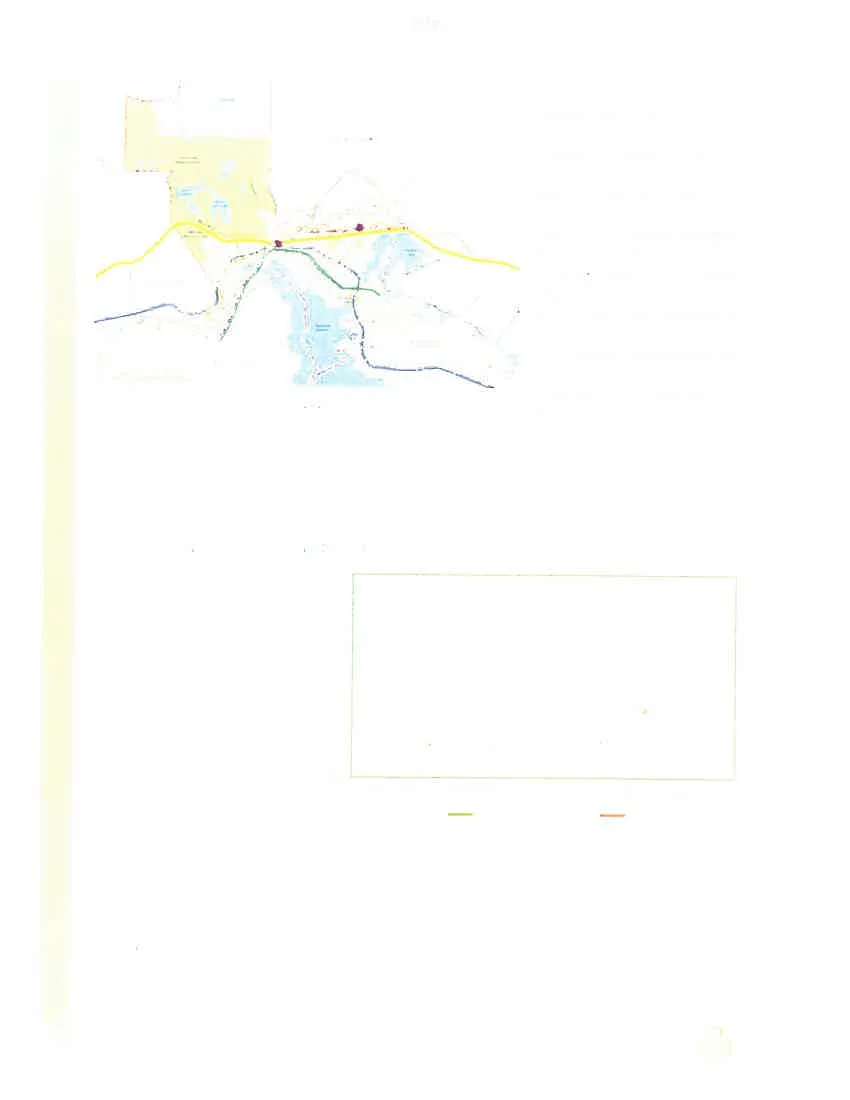
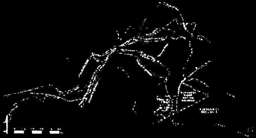
Major transportation routes through the Town of View Royal include the Trans Canada Highway (Hwy 1) and the Island Highway that divides the Town into three distinct sectors. The E&N Rail Corridor stretches from Langford to Esquimalt First Nation. The Island Highway connects Colwood to Esquimalt, and is generally used as the main entrance to View Royal. Helmcken Road runs north to south, connecting View Royal to Saanich and the Peninsula.
Services in the area include Victoria General Hospital, which is located on Helmcken Road at the northern edge of View Royal, and the View Royal Casino, located on Island Highway. Significant employers include Thrifty Foods, Reliable Controls, and a range of services at Eagle Creek Village.
3.3 Demographics/Conditions
The Town of View Royal was incorporated in December 1988 with a population of approximately 5000 residents on 2500 hectares of land. Since that time, the community has experienced significant population growth, doubling in size to almost 11,000 residents (CRD 2016).
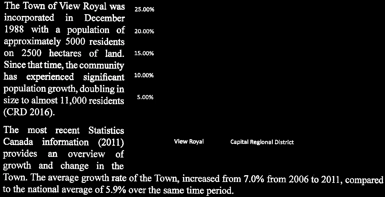
The most recent Statistics Canada information (2011) provides an overview of growth and change in the Town. The average growth rate of the Town, increased from 7.0% from 2006 to 2011, compared to the national average of 5.9% over the same time period.
3.3.1 Age
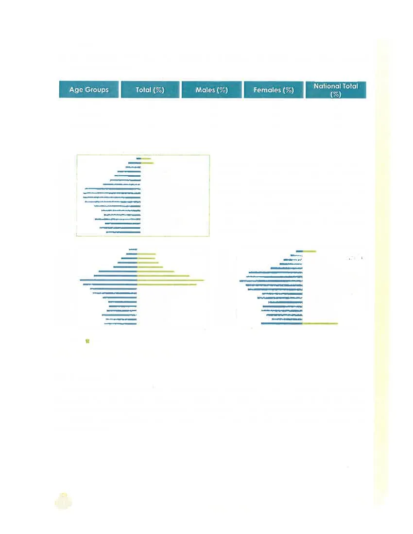
By age distribution, View Royal has slightly fewer children and slightly more seniors compared to the national average:
Table 1: Proportion of Population by Age Groups, 2011
| Age Groups | Total (%) | Males (%) | Females (%) | National Total (%) |
|---|---|---|---|---|
| 0 to 14 | 15.2 | 15.7 | 14.8 | 16.7 |
| 15 to 64 | 69.4 | 70.6 | 68.4 | 68.5 |
| 65 and Over | 15.3 | 13.8 | 16.8 | 14.8 |
The fastest growing age category of the Town’s residents is over 65 years of age: this category increased 16% over the previous census period, compared to approximately 6% growth in the 15 to 64 age category and 3% growth in the 0 to 14 category. The median age in View Royal at 44.1 years is slightly over the provincial average of 41.9 years.

3.3.2 Households
The residential composition of the Town is changing over time. In 2011, there were 3,950 private households in View Royal, a change of 18.3% from 2006. Approximately 41.6% of private households were single-detached houses followed by 20.3% apartment/duplexes. Rowhouses (17.6%) and apartments less than 5 storeys (12.2%) were the next most popular categories for housing choices.
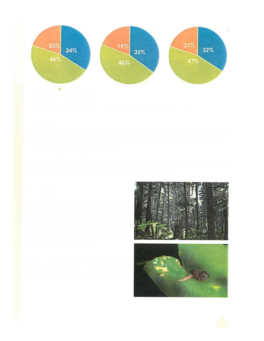
As of 2011, 32% of View Royal Households were families with children. This is a slight decrease from 2001 (34%; 35% in 2006).
3.3.3 Density
The average population density is 650 persons per square kilometre. This compares to Esquimalt at 2290.1 persons per square kilometre, Colwood at 911.2, and Langford at 731.9. Victoria is approximately 4495 persons per square kilometre. The lower number in View Royal reflects the significant regional park space in the Town.
The Plan considers all these trends in determining the need for additional services, space for a growing population, and facilities for both an aging population and the children and young families that find View Royal a desirable place to live, work and play.
3.4 Regional Context
Two regional parks, Thetis Lake Park (835 hectares, with 450 hectares in View Royal) in the northwest and Mill Hill Park (61 hectares, with 22 hectares in View Royal) in the west, are included within the Town’s boundary. Although the Town does not have planning jurisdiction for these parks, they contribute a great deal of value to the View Royal Park system.
The CRD’s Regional Parks Strategic Plan (2012 – 2021) addresses these two regionally significant park spaces. Planning policy and action with respect to these spaces is included in this Strategic Plan.

Highlights of the Plan include:
- Parks play an important role in the protection of natural spaces
- Parks help to conserve biodiversity
- Parks play a role in environmental education
- An integrated park system benefits all residents and wildlife in the region
- During the next five years, the main direction of the regional parks plan is on managing existing parks and trails and opening new assets as funding permits.
The Regional Parks Strategic Plan dovetails with the CRD Regional Growth Strategy which speaks to the importance of interconnectedness among park and trail systems across the CRD.
4.0 Environmental Context
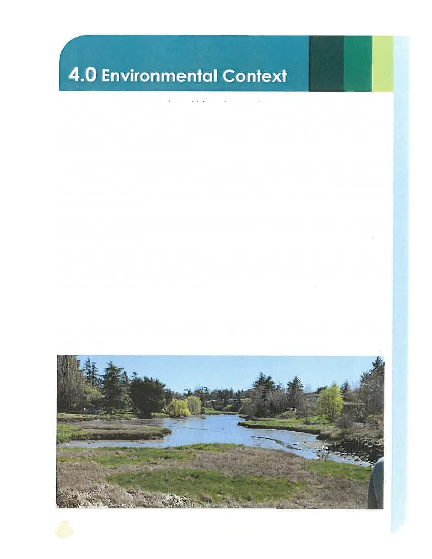
The Town of View Royal contains multiple environmental assets of high quality. Among these are the shores of the Millstream Estuary and the delta of Craigflower Creek. Portage Inlet is a tidal estuary and is part of a federal migratory bird sanctuary that supports a biologically diverse population of plants and animals. The rocky shoreline of Esquimalt Harbour also provides a unique natural habitat for local species.
In addition to extraordinary waterfront assets, the Town also has protected a variety of terrestrial ecosystems through parkland acquisition. Existing parks, such as Portage Park, Robin Hill Park, and Nursery Hill Park, provide natural greenspaces for habitat and a refuge for many indigenous plant species. Marsh areas, including the Stoneridge Wetland and Tidewater Marsh provide essential estuarine habitat.
Intertidal areas, including mudflats, beach flats, bedrock, and sandbars are home to specialized species that thrive in these areas and also provide important habitat and foodstuffs for migrating and wintering bird species.
Park spaces, shorelines, harbours, and islands provide essential habitat for a wide variety of aquatic, terrestrial, and avian species. The Parks Master Plan strives to encourage the human/nature connection and balance the needs of different species (including humans) to ensure the long term sustainability of our parks system.
4.1 Principal Features
View Royal falls within the Coastal Douglas-fir biogeoclimatic zone (CDF mm), one of Canada’s most rare ecosystems. The Town also includes wetlands, Garry Oak woodlands, and older second growth forests.
4.1.2 Sensitive Ecosystem Inventory
A product of collaboration from nearly 20 years ago between the Canadian Wildlife Service and the province of BC, the Sensitive Ecosystem Inventory catalogues nine rare and ecologically sensitive ecosystems of East Vancouver Island and the Gulf Islands. Notably, View Royal Parks covers seven of the nine original classifications, which, as of 2004, remain largely intact.
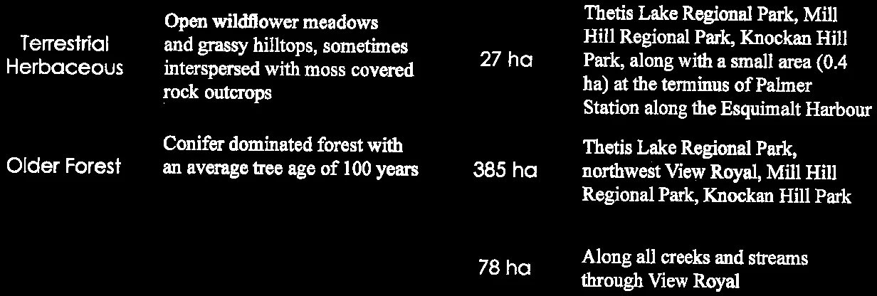
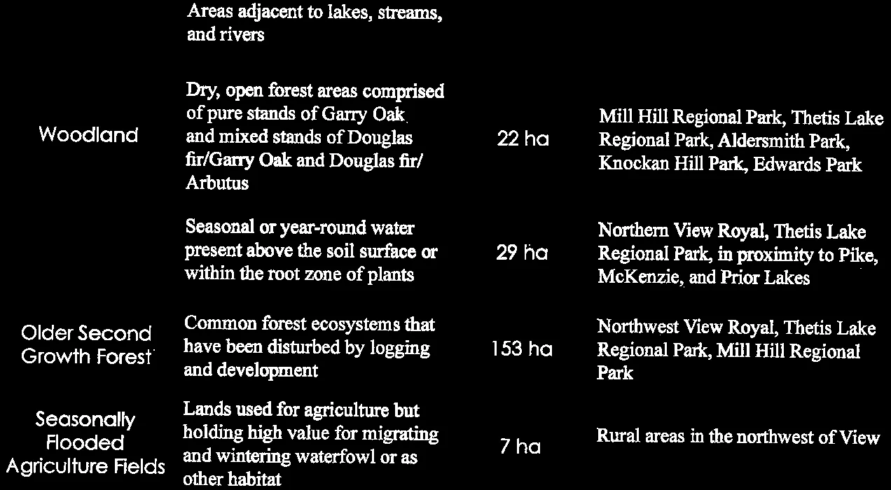
Table 2: Ecosystems and Areas
| Ecosystem | Description | Total Area | Location |
|---|---|---|---|
| Terrestrial Herbaceous | Open wildflower meadows and grassy hilltops, sometimes interspersed with moss covered rock outcrops | 27 ha | Thetis Lake Regional Park, Mill Hill Regional Park, Knockan Hill Park, along with a small area (0.4 ha) at the terminus of Palmer Station along the Esquimalt Harbour |
| Older Forest | Conifer dominated forest with an average tree age of 100 years or more | 385 ha | Thetis Lake Regional Park, northwest View Royal, Mill Hill Regional Park, Knockan Hill Park |
| Riparian | Areas adjacent to lakes, streams, and rivers | 78 ha | Along all creeks and streams through View Royal |
| Woodland | Dry, open forest areas comprised of pure stands of Garry Oak and mixed stands of Douglas fir/Garry Oak and Douglas fir/Arbutus | 22 ha | Mill Hill Regional Park, Thetis Lake Regional Park, Aldersmith Park, Knockan Hill Park, Edwards Park |
| Wetland | Seasonal or year-round water present above the soil surface or within the root zone of plants | 29 ha | Northern View Royal, Thetis Lake Regional Park, in proximity to Pike, McKenzie, and Prior Lakes |
| Older Second Growth Forest | Common forest ecosystems that have been disturbed by logging and development | 153 ha | Northwest View Royal, Thetis Lake Regional Park, Mill Hill Regional Park |
| Seasonally Flooded Agriculture Fields | Lands used for agriculture but holding high value for migrating and wintering waterfowl or as other habitat | 7 ha | Rural areas in the northwest of View Royal |
4.2 Invasive Species: a special concern
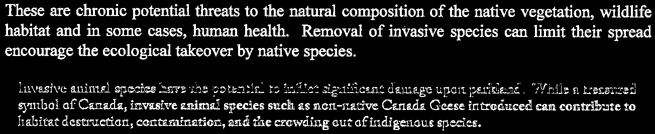
A survey of View Royal Parks shows invasive species are a significant problem, as is true for parks and open spaces across Vancouver Island. Common invasive species include:
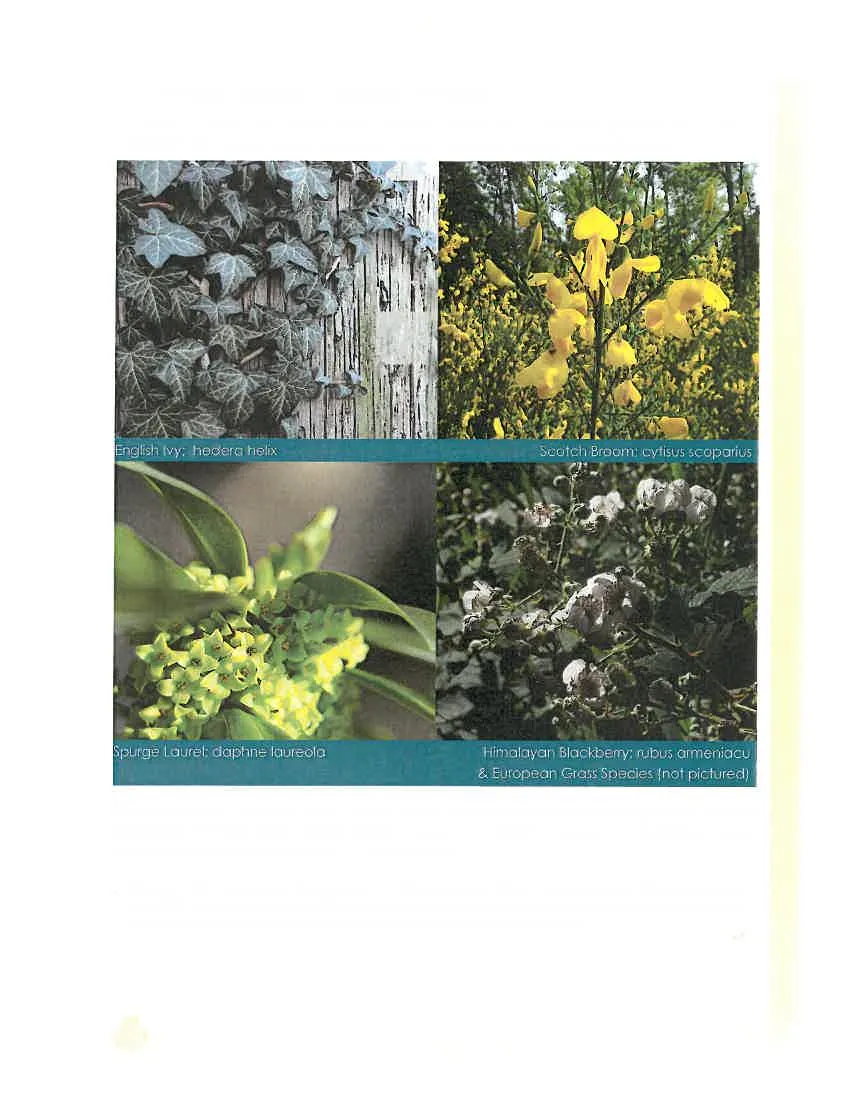
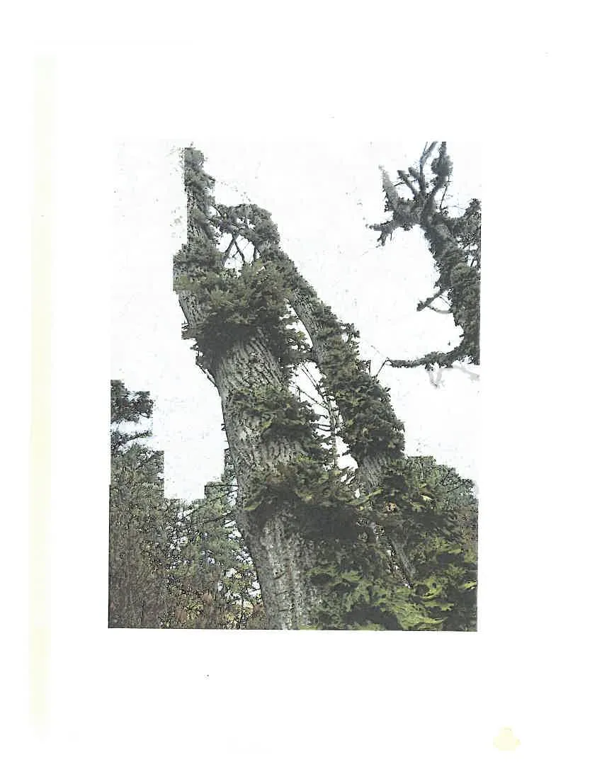
These are chronic potential threats to the natural composition of the native vegetation, wildlife habitat and in some cases, human health. Removal of invasive species can limit their spread encourage the ecological takeover by native species.
Invasive animal species have the potential to inflict significant damage upon parkland. While a treasured symbol of Canada, invasive animal species such as non-native Canada Geese introduced can contribute to habitat destruction, contamination, and the crowding out of indigenous species.
5.0 Community Engagement
The process of developing the Plan unfolded over approximately ten months. Many citizens provided written comments by email or phone to Town staff, the two open house and world café events were well attended, and residents adjacent to waterfront access points were interviewed in person or by phone about potential improvements to nearby waterfront access or viewing points. The online survey had more than 150 responses from citizens. The provision of a range of opportunities was intended to encourage the involvement of anyone interested in providing their comments, suggestions, and ideas to the project.
Overall, six consultation activities were completed as part of the development of the Plan. A brief description of each public consultation activity is provided below. Full transcripts and data are available in Appendix A: Community Consultation.
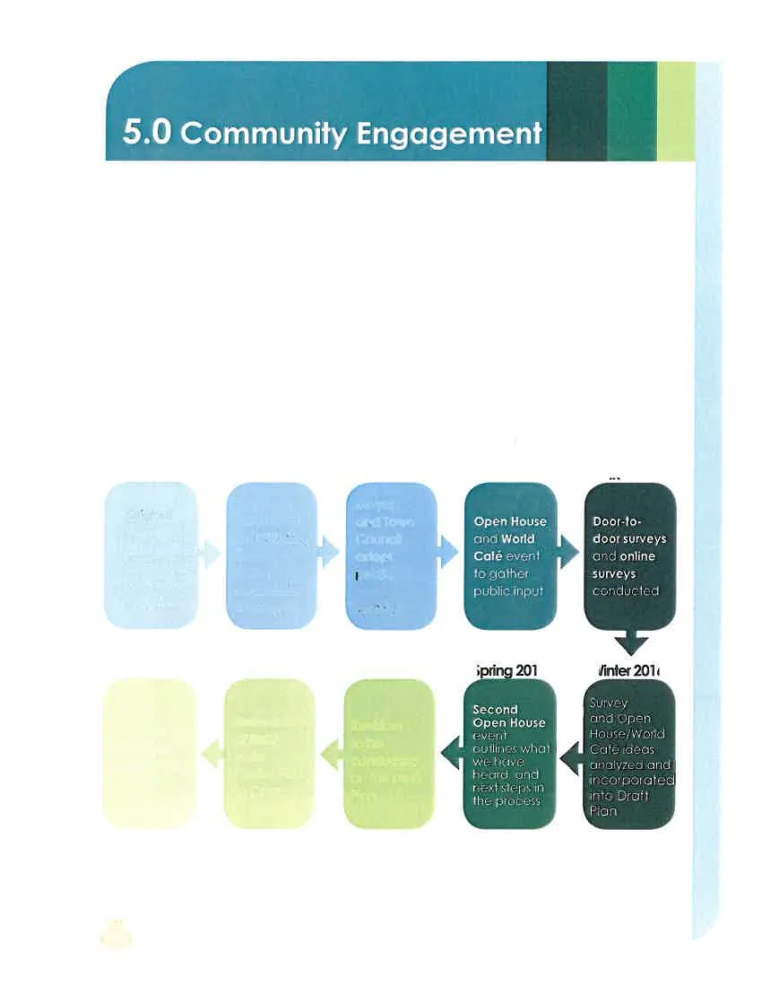
The following diagram outlines the timeline of the engagement process:
5.1 Community Activities
5.1.1 Waterfront Road-Ends and Access Point – Neighborhood Interviews
Students conducted in-person and telephone interviews with residents who live adjacent to public waterfront road-ends. The interviews were semi-structured, based on an interview guide that allowed community members to add new information or direct the conversation to issues that may not have originally been included in the guide. Residents were notified in advance by letter and were provided with the alternative of responding directly to Town staff. Two rounds of interviews were conducted, one in the afternoon and the second in the evening, to ensure that the process remained open to the greatest number of potential respondents.

Overall, 116 households were targeted for interviews. Of those, 25 households completed face-to-face interviews and 6 households completed telephone interviews. These interviews ranged in duration from 10-30 minutes.
In summary, neighbours expressed the following views:
- Increased waterfront access for the public in current locations
- Include additional infrastructure such as canoe/kayak launches in appropriate areas and benches
- Consideration of potential impacts on neighbours, including privacy, parking and security
- Sensitivity to wildlife habitat
- Maintenance of existing park spaces
- Parking should be made available in specific areas near all water access points, however it should not come with on-street parking but a parking lot or area of some kind
- Strategically increase parking where required, aiming to mitigate impacts with pathways to the water requiring people to walk to the waterfront
- Boats should be non-motorized only
- Utilize landscaping to retain privacy for neighbours
- Additional maintenance should accompany increased access
- Potential for expanded programming
- Preference for the improvement of existing spaces rather than acquisition.
5.2.2 Park Observations
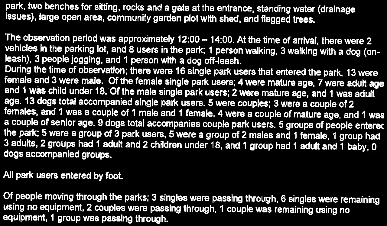
Observational research is a method that generates a snapshot of activity for specific places and spaces. Observations were made at four parks: Portage, Helmcken, Chilco, and View Royal Parks.
Overall, park users appeared to be residents from each area surrounding the parks as they generally arrived on the park by foot. Equipment in the parks was well used, and people engaged in a range of active and passive park activities.
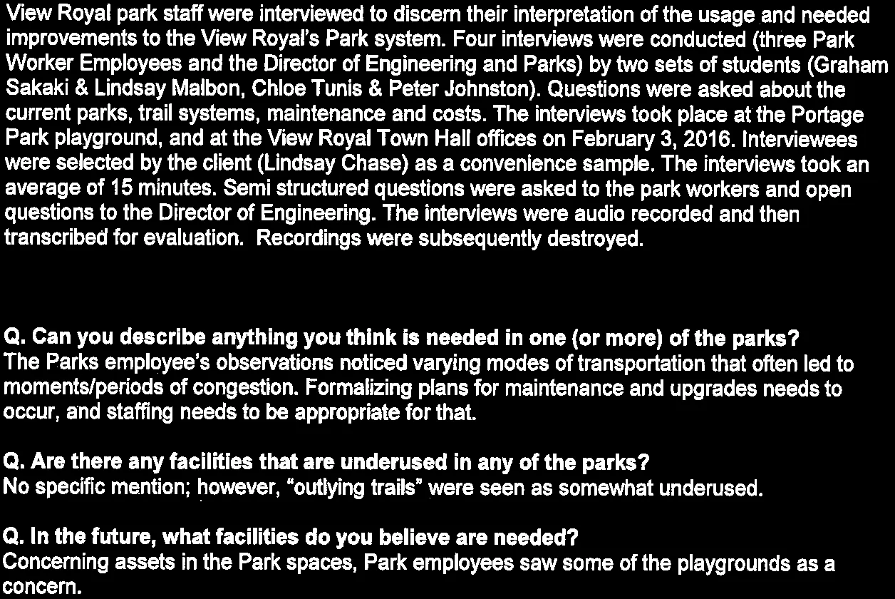
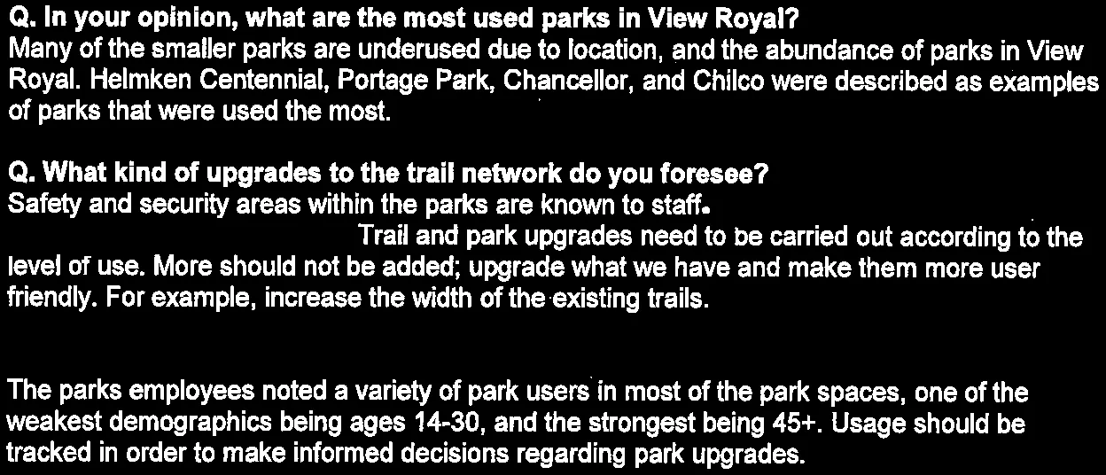
5.2.3 Interviews with Staff
Interviews were conducted with key View Royal staff to obtain their input on the Town’s parks.
Staff specified that safety and security of park users is of the utmost concern. Staff also noted that ongoing maintenance and updating of park assets is important, and indicated that they took great care to ensure that existing equipment remained safe for park users.
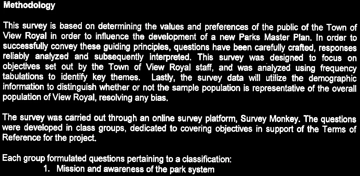
5.2.4 Online Survey
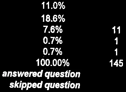
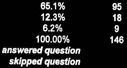
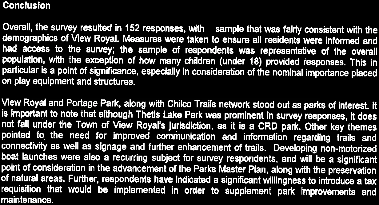
To provide a range of options for participation from residents, an online survey was created and posted on the View Royal website. Residents were also informed that the survey was available for completion through local media releases. The survey was launched on January 28, 2016 and was available for participation until February 26, 2016, resulting in a total of 152 respondents.
Highlights from the survey include:
Methods and Participation
- While the survey was not a random scientific sample, the range of respondents did correspond to the demographics of the Town
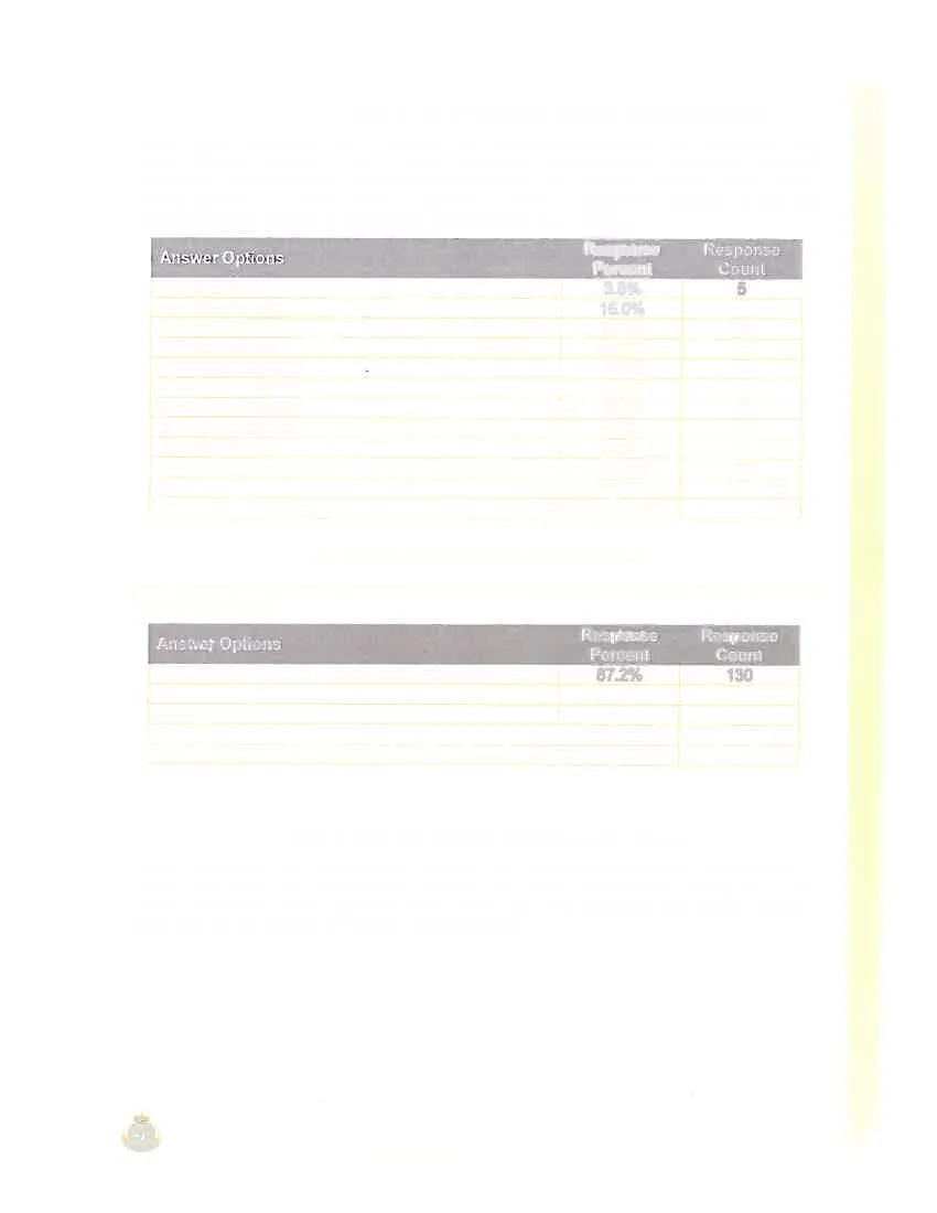
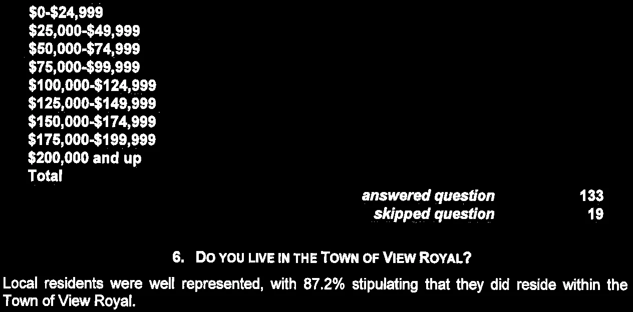
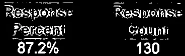
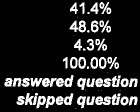
- Local residents were well represented at 87.2% of respondents
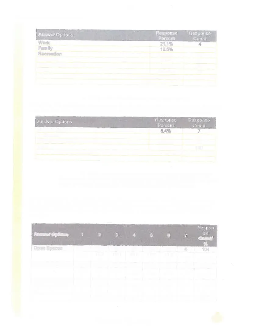
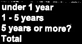
- 64.6% of respondents have lived in View Royal for more than five years, 30% for 1-5 years and 5.4% have been residents for less than a year.
Key Features, Amenities and Parks
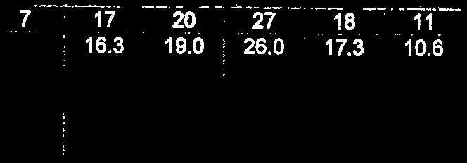
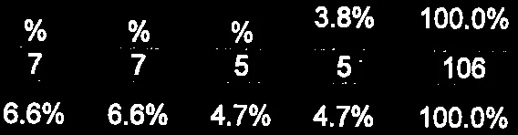
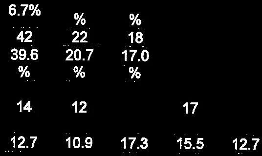
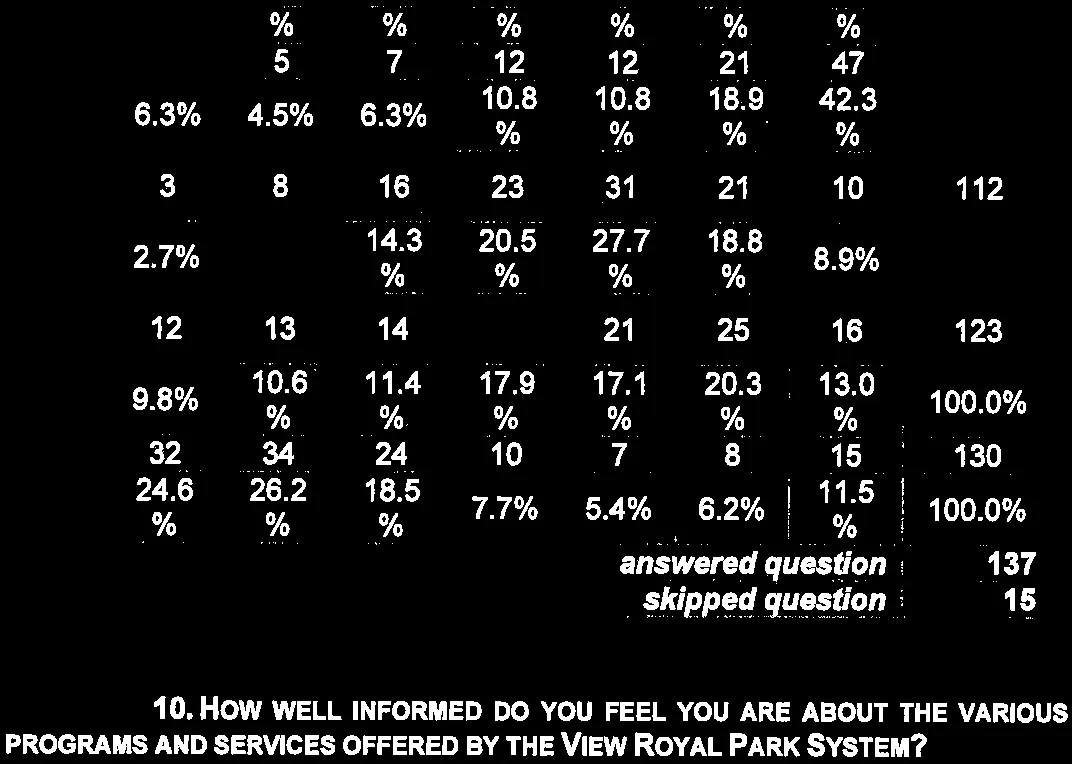
- Survey respondents rated natural spaces as the park feature they considered to be the most important (39.6% rated highest importance), followed by trails at (24.6% highest importance). The lowest rated feature was public art, which 42.3% of respondents rated it of the lowest importance
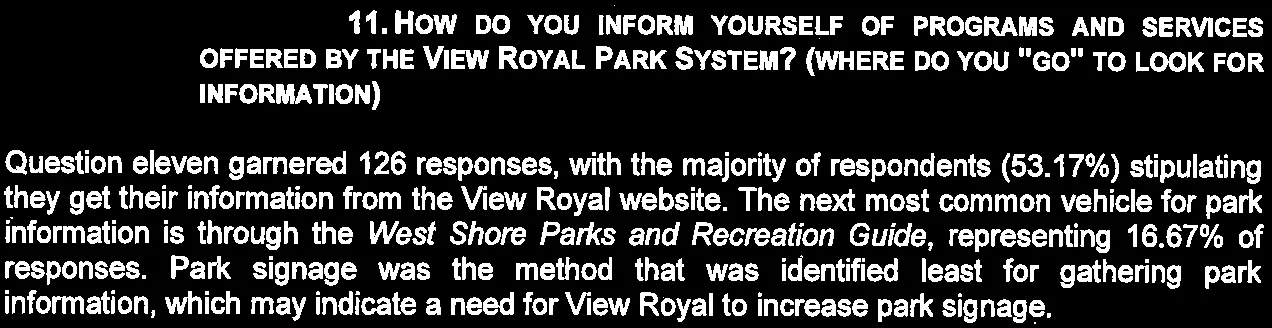
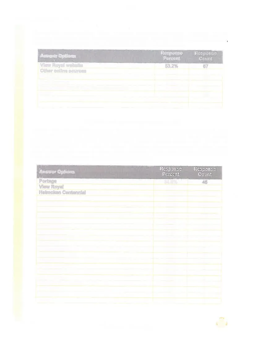
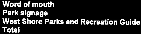
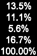
- The majority of respondents (53.17%) indicated they get their park and trail information from the View Royal website. The next most common vehicle for park information is through the West Shore Parks and Recreation Guide, representing 16.67% of responses. Park signage was the method that was identified least for gathering park information
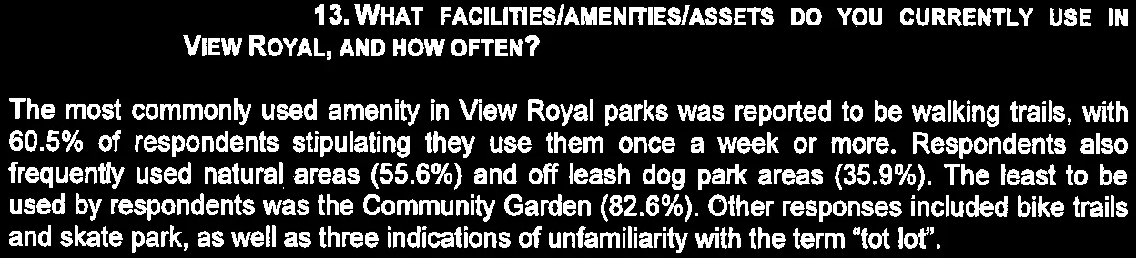
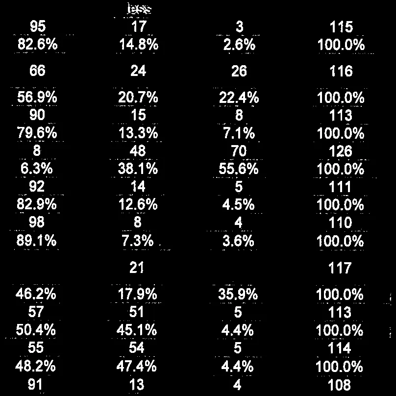
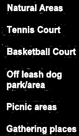
- The most commonly used amenity in View Royal parks was walking trails, with 60.5% of respondents stipulating they use them once a week or more. Respondents also frequently used natural areas (55.6%) and off leash dog park areas (35.9%). The amenity least used by respondents was the Community Garden (82.6%). Other responses included bike trails and skate park, as well as three indications of unfamiliarity with the term “tot lot”
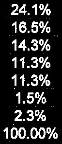
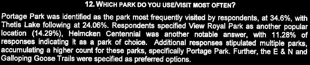
- Portage Park was identified as the park most frequently visited by respondents, at 34.6%, with Thetis Lake following at 24.06%. Respondents also specified View Royal Park and Helmcken Centennial as other popular locations (14.29% and 11.28% respectively).
Wants, Needs, and Support
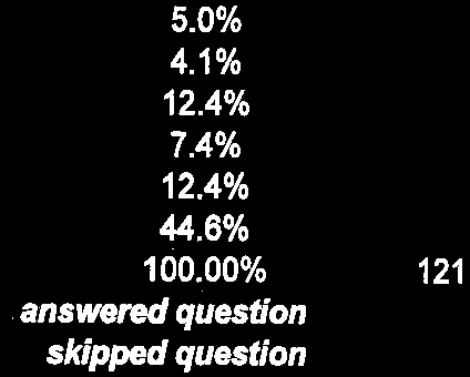
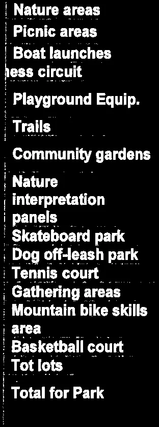
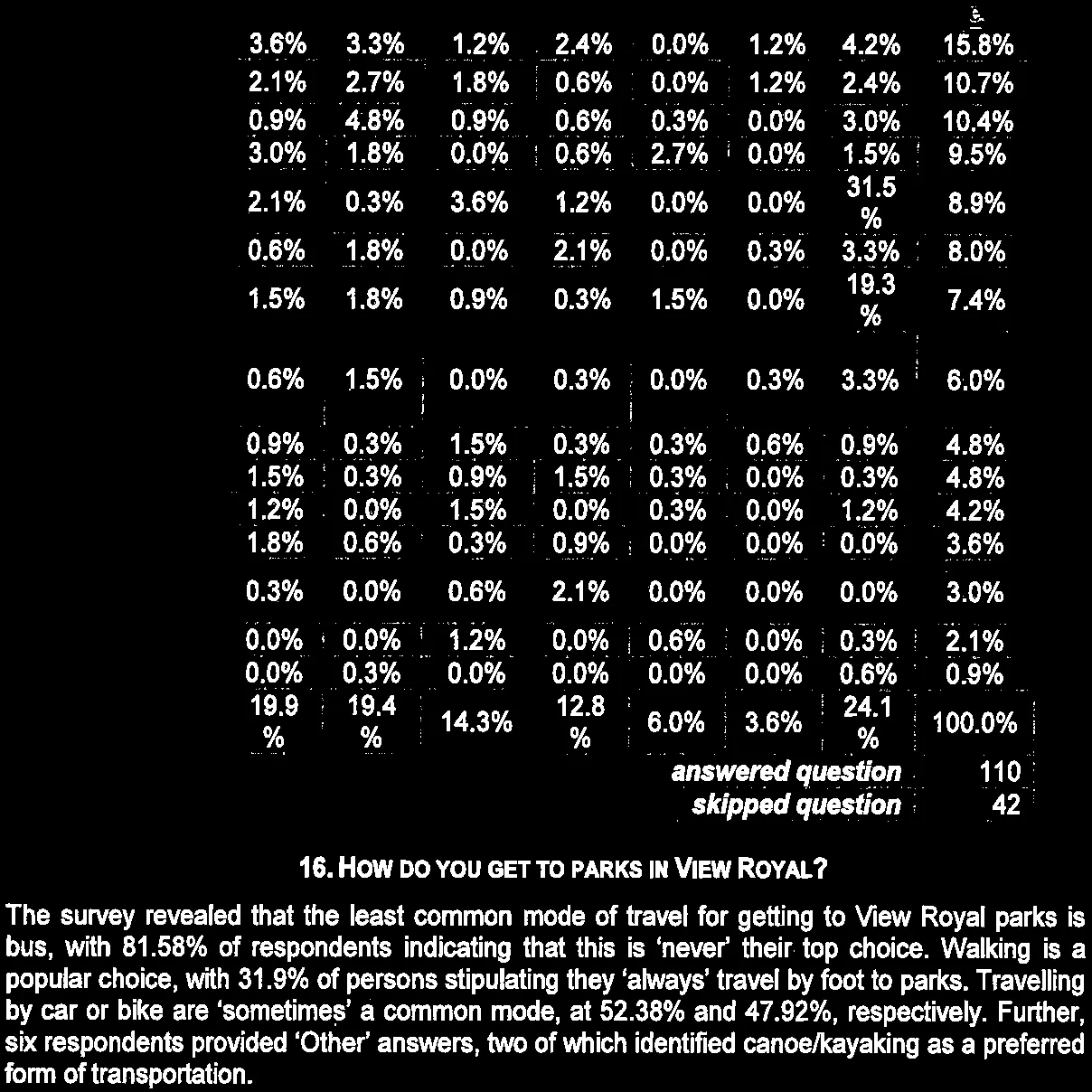
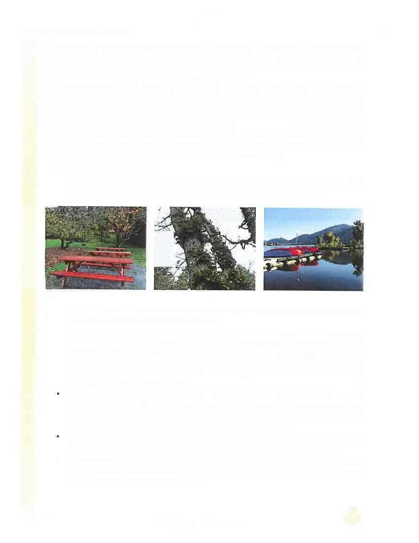
- The most common type of improvement requested was to nature areas (selected by 15.8% of respondents), followed by picnic areas (10.7%), and boat launches (10.4%)
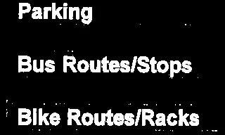
- Upgrading the trail network was seen as a priority over upgrading sidewalks/bike routes or upgrading motor vehicle parking/bus stops
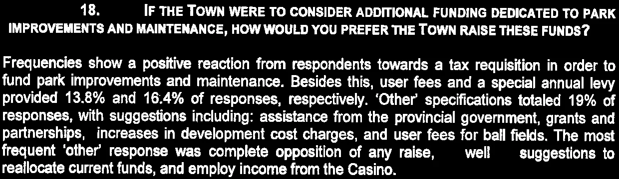
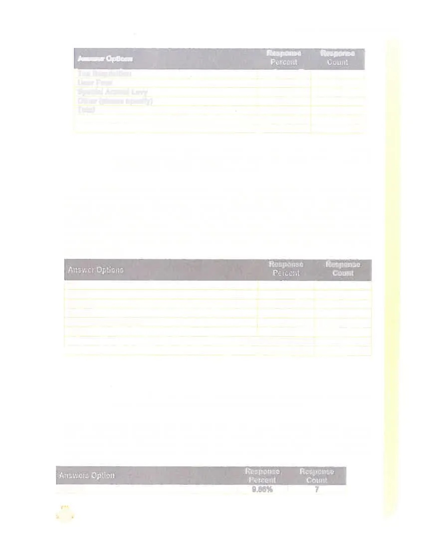
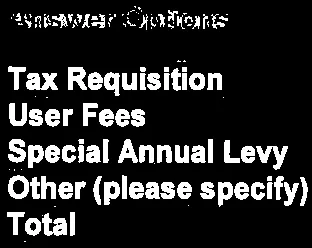
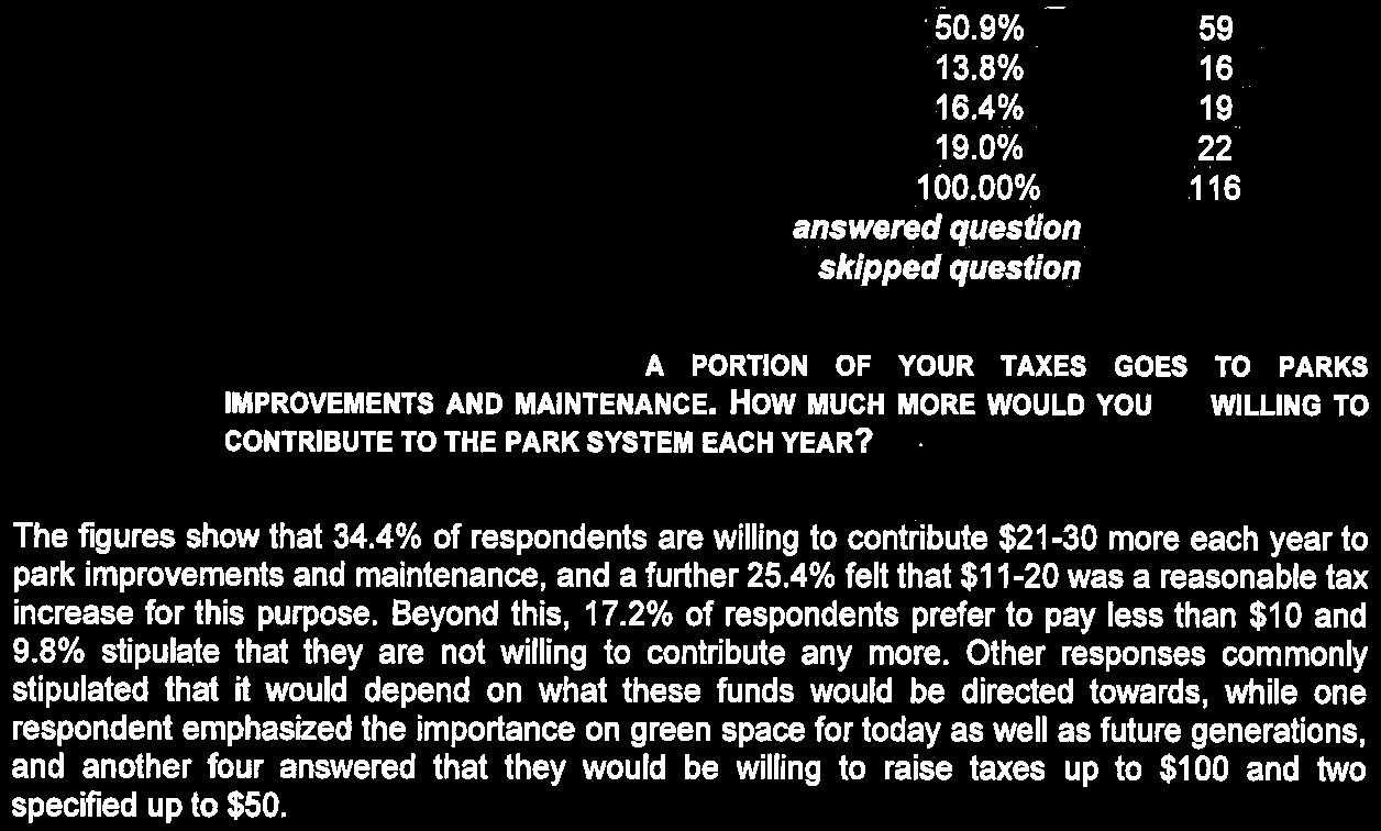
- User fees and a special annual levy were supported by 13.8% and 16.4% of responses, respectively. ‘Other’ specifications totalled 19% of responses, with suggestions including: assistance from the provincial government, grants and partnerships increases in development cost charges, and user fees for ball fields. The most frequent ‘other’ response was complete opposition of any raise, as well as suggestions to reallocate current funds, and employ income from the Casino
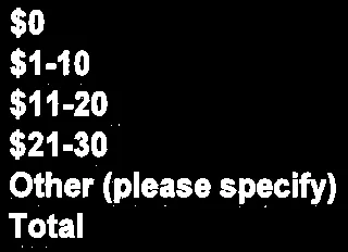
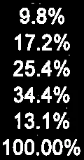
- 34.4% of respondents were willing to contribute $21-30 more each year to park improvements and maintenance, and a further 25.4% felt that $11-20 was a reasonable tax increase for this purpose. Beyond this, 17.2% of respondents prefer to pay less than $10 and 9.8% stipulate that they are not willing to contribute any more
- General, strong valuation of wildlife such as herons, eagles, small birds and mammals and appreciation, separate from any concern has been expressed through survey results.
- The benefit to the community offered by natural ecosystems, and concerns over potential loss of habitat, as could arise through land use change or undervaluation of wildlife was a value that came through in survey results.
5.2.5 Open House and World Café #1
An open house and world café was held on February 3, 2016 at the Town Hall. This approach allowed multiple topics and interests to be explored at the same time.
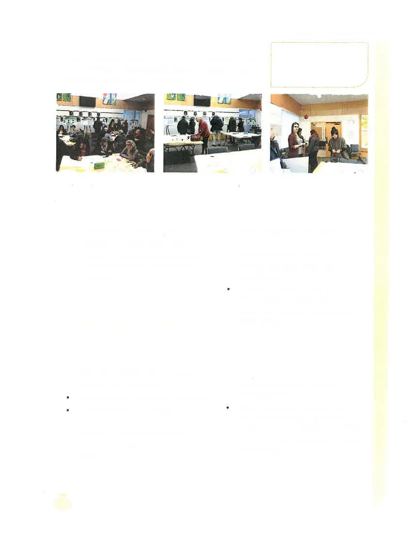
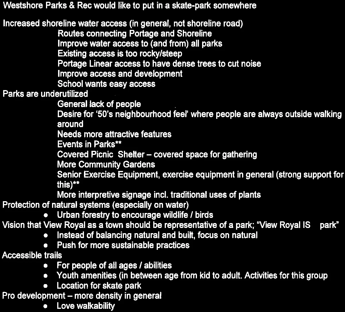
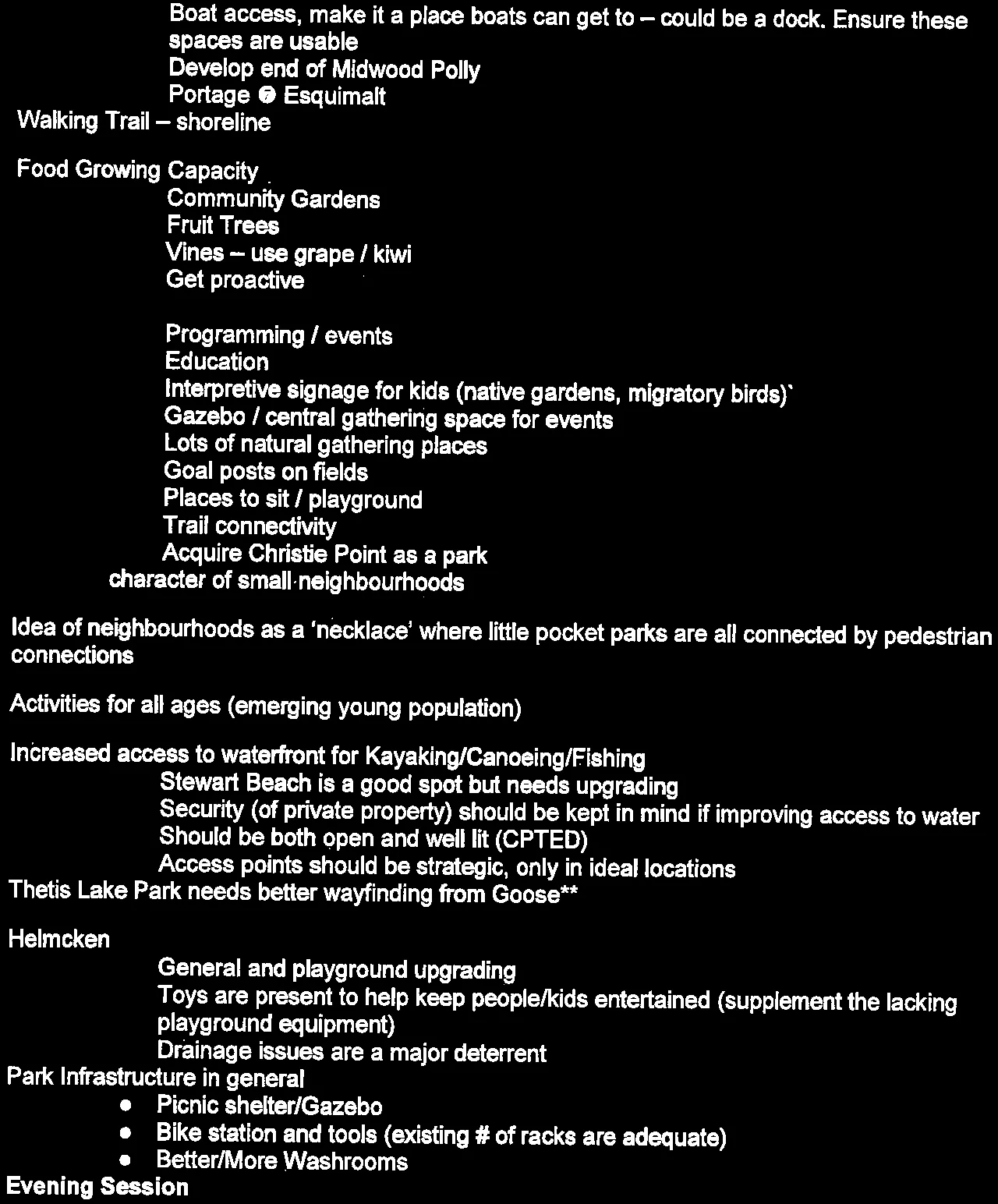
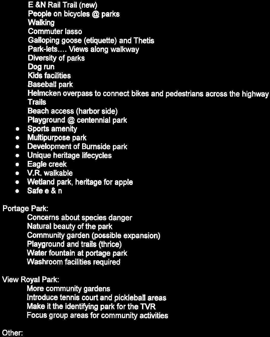
Overall, the more than 60 residents in attendance generated the following list of concerns, ideas, and priorities:
Needed Amenities and Features
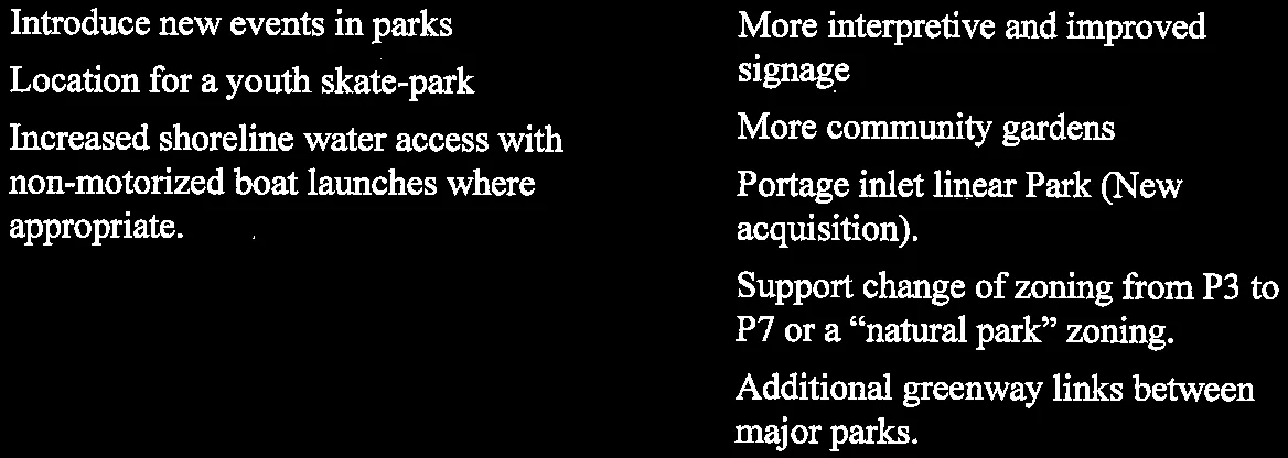
- Introduce new events in parks
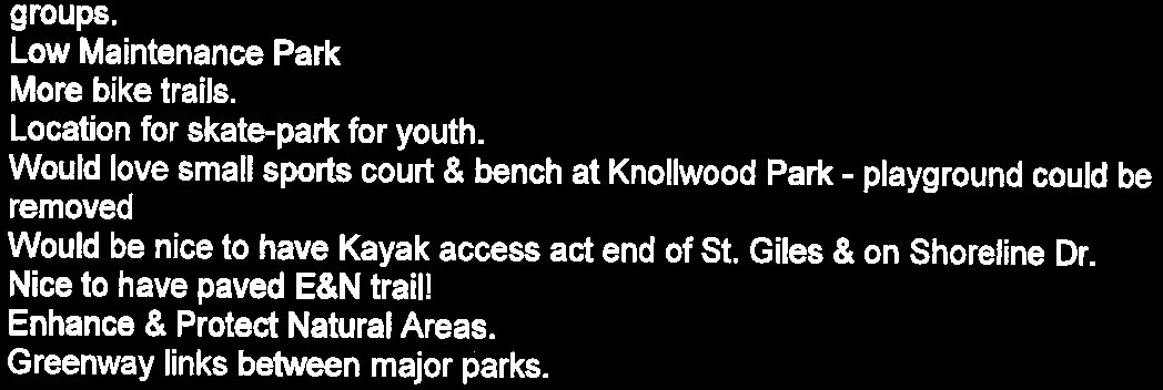
- Location for a youth skate-park
- Increased shoreline water access with non-motorized boat launches where appropriate.
- Add covered picnic spaces, gazebos
- Bridge over Craigflower Creek at Parkcrest
- Exercise equipment, accessible for all ages and abilities
- More interpretive and improved signage
- More community gardens
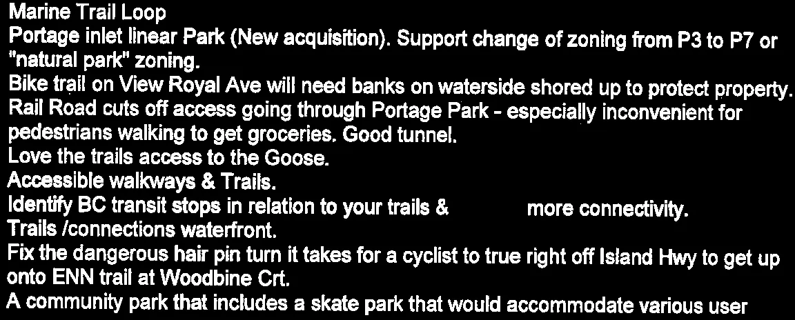
- Portage inlet linear Park (New acquisition).
- Support change of zoning from P3 to P7 or a “natural park” zoning.
- Additional greenway links between major parks.
Needed Improvements / Addressing Concerns
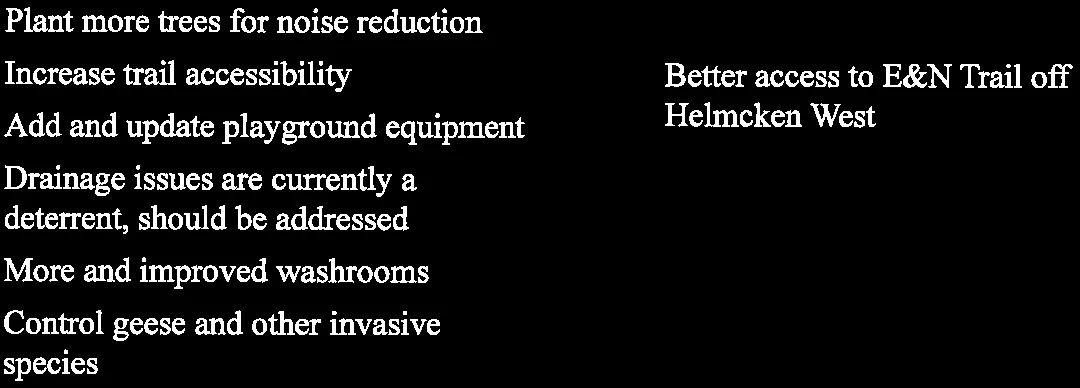
- Plant more trees for noise reduction
- Increase trail accessibility
- Add and update playground equipment
- Drainage issues are currently a deterrent, should be addressed
- More and improved washrooms
- Control geese and other invasive species
- Ensure safety of users
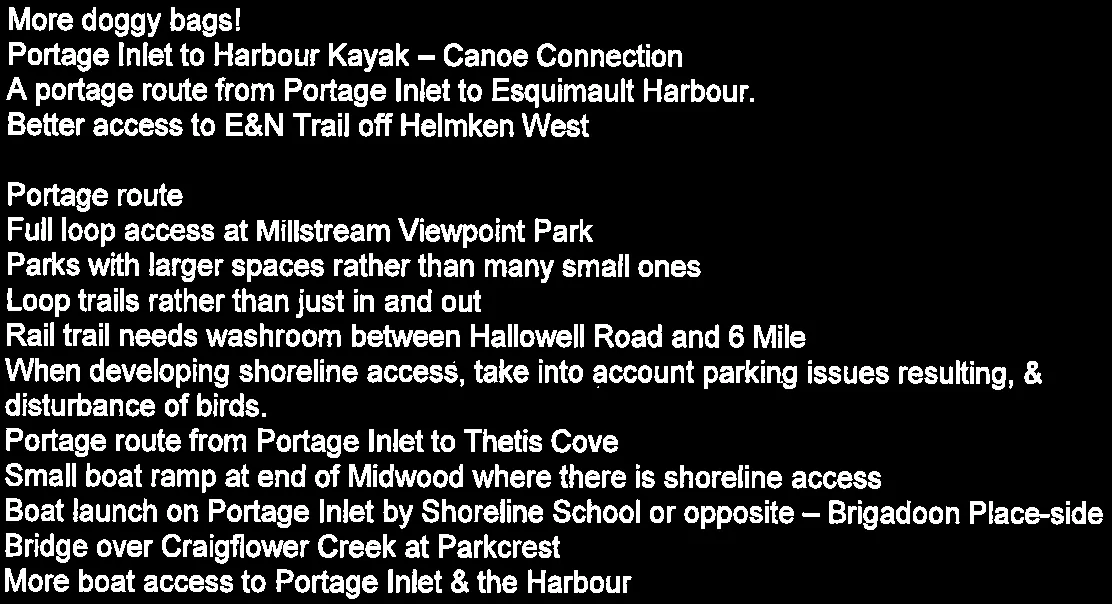
- Better access to E&N Trail off Helmcken West
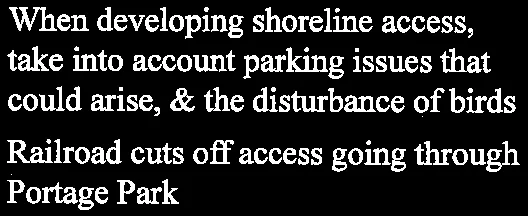
- When developing shoreline access, take into account parking issues that could arise, & the disturbance of birds
- Railroad cuts off access going through Portage Park
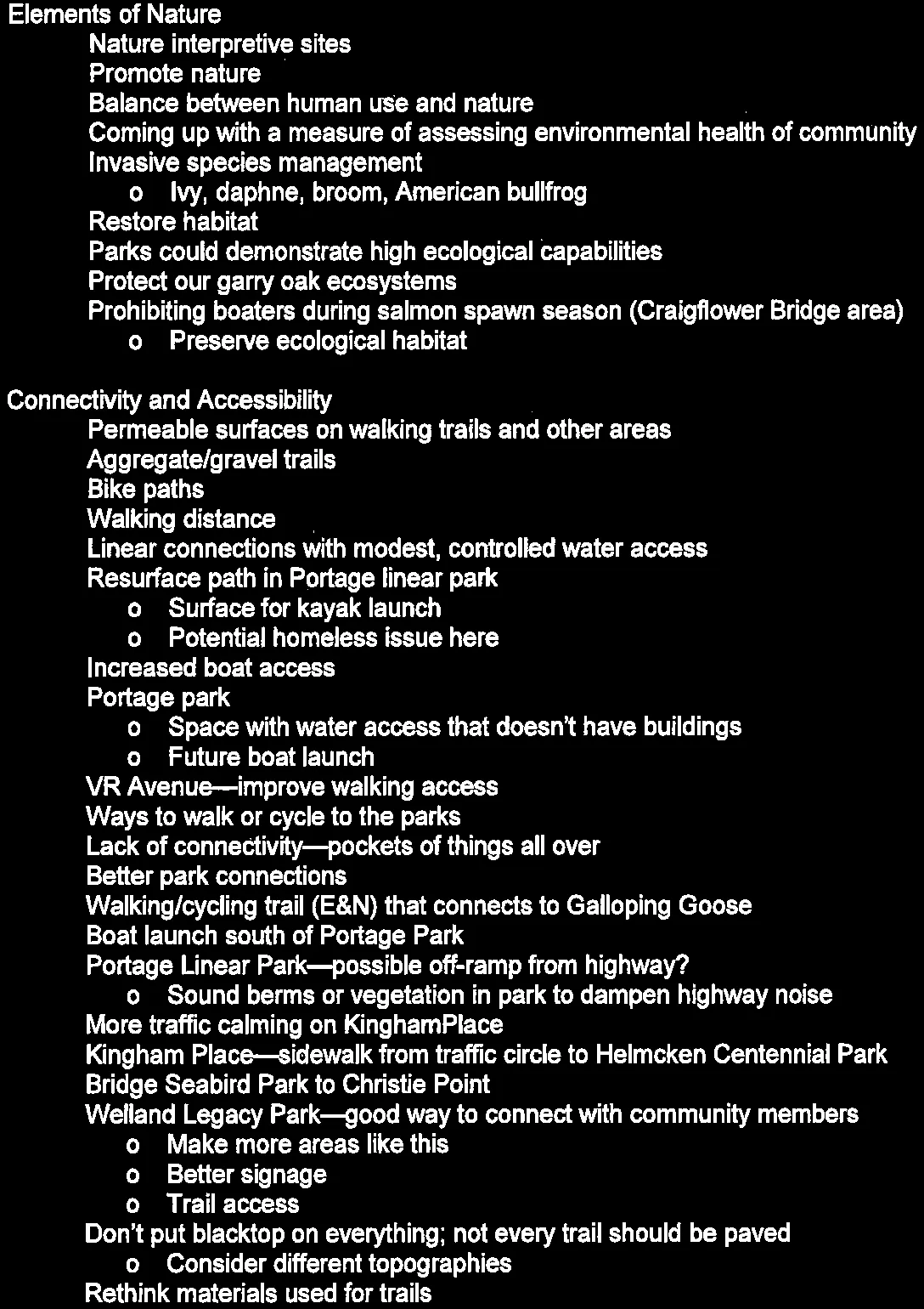
Overall Theme / Ideas
- Focus on nature and protect environmentally sensitive areas
- Promote walkability
- Enhance neighbourhood character
- Connect all spaces like a “necklace” of parks tied together by pedestrian access
- Activities for all ages
- Celebrate cultural and historical elements
- Consider unpaved trails
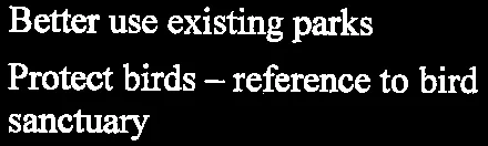
- Better use existing parks
- Protect birds – reference to bird sanctuary
- Carefully acquire new parks (if needed)
- Consider the relationship between parks and food security
- A vision that the Town as a whole should be representative of a park
- Parks with larger spaces rather than many small ones
- Loop trails rather than just in and out
- Identify BC transit stops in relation to your trails & parks = more connectivity
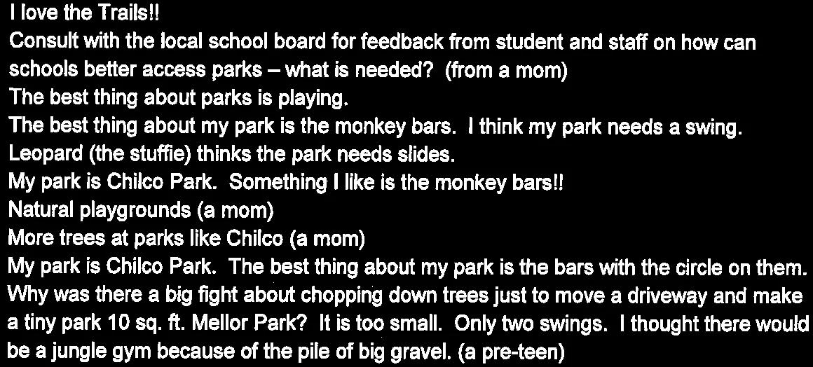
A Kids’ Table was also included at this event. A child in attendance (one of six) indicated that “the best thing about parks is playing” and that monkey bars are a popular choice among this particular sample of residents.
5.2.6 Open House #2
A second open house was held on April 13, 2016, to identify “What We Know So Far” on a range of poster boards and attendees were asked to provide written comments or speak to staff and students in attendance on their perceptions of parks in View Royal.
Highlights from these comments include:
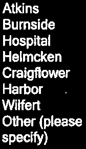
- 32% of respondents were from the Harbour Neighbourhood
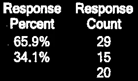
- The proposed vision was agreed to by 65.91% of respondents
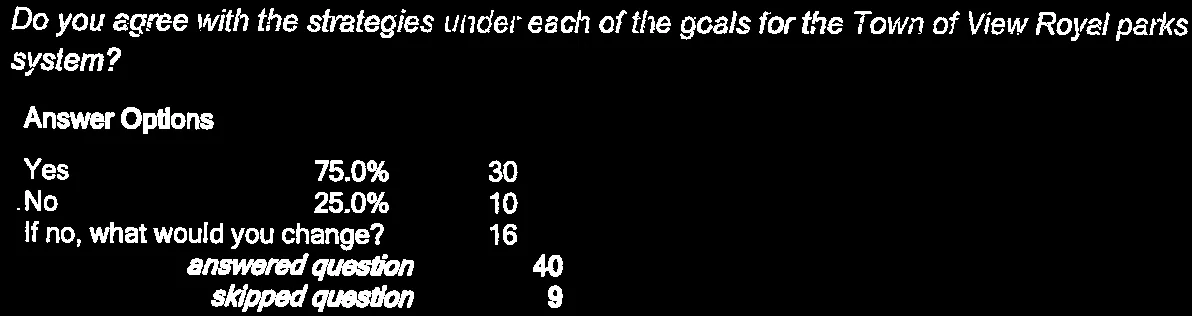
- The seven goals were supported by 70.45% while 75% percent of participants agreed with the strategies to achieve the goals
- 46.15% of respondents would contribute $21-30 more each year to taxes for park improvements
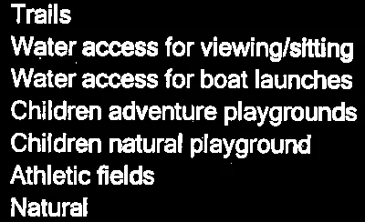
- The top three activities and amenities that need further investment: trails, natural areas, and water access for viewing/sitting.
5.3 What We Heard
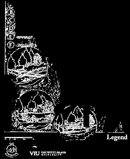
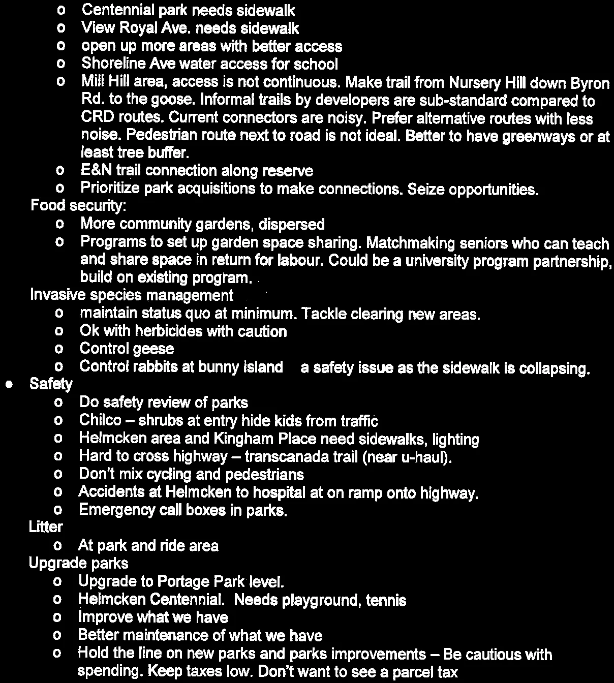
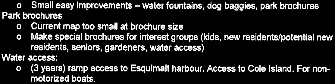
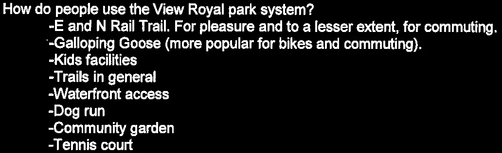
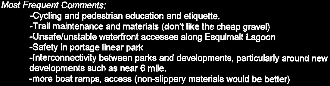
Providing a range of consultation activities in addition to an “open door” approach to ongoing engagement with the citizens of View Royal resulted in a rich and detailed summary of residents’ issues, concerns, and hopes for the future of parks and trails in the Town. These are represented in the Vision Map for the Town of View Royal Parks Master Plan Update.
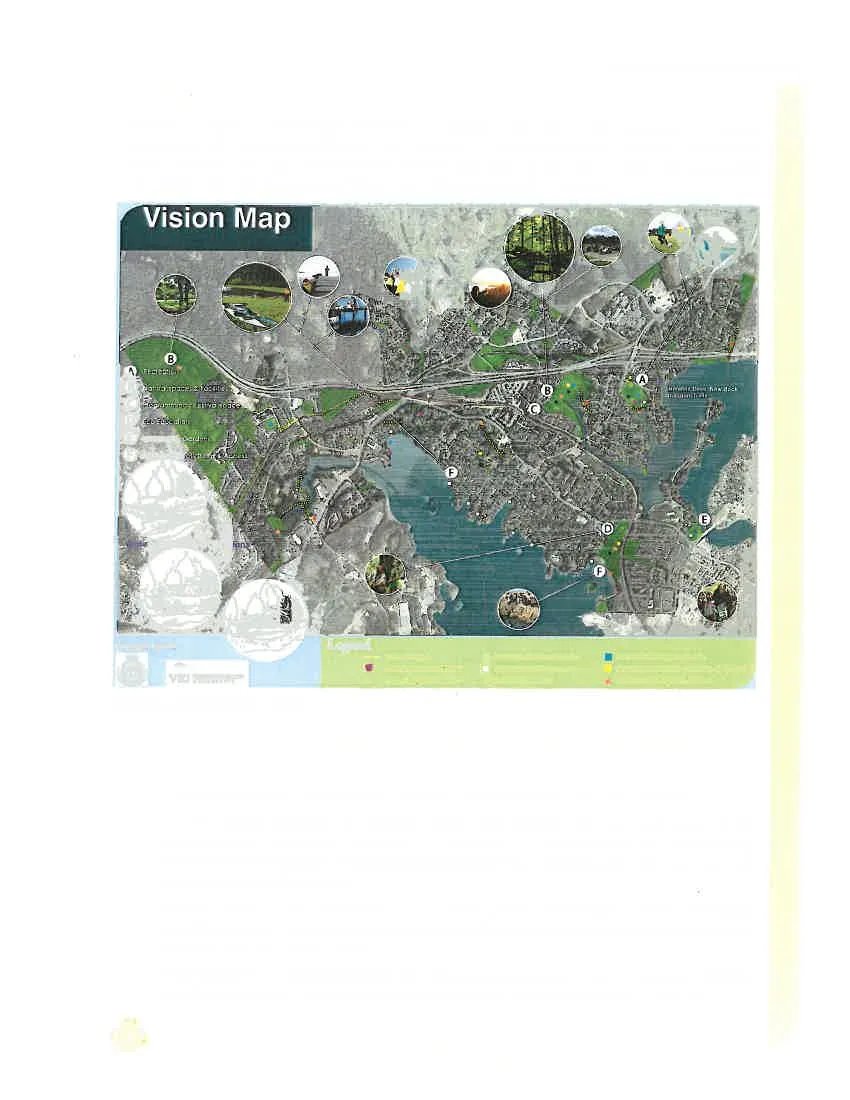
From all of the community engagement activities, several key themes emerged:
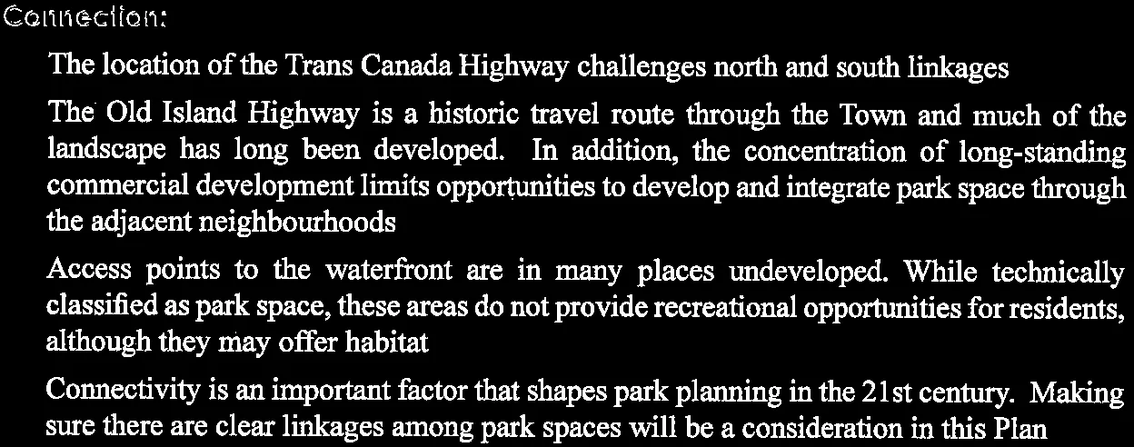
Connection:
- The location of the Trans Canada Highway challenges north and south linkages
- The Old Island Highway is a historic travel route through the Town and much of the landscape has long been developed. In addition, the concentration of long-standing commercial development limits opportunities to develop and integrate park space through the adjacent neighbourhoods
- Access points to the waterfront are in many places undeveloped. While technically classified as park space, these areas do not provide recreational opportunities for residents, although they may offer habitat
- Connectivity is an important factor that shapes park planning in the 21st century. Making sure there are clear linkages among park spaces will be a consideration in this Plan
- Given View Royal’s central location and the proximity of significant regional parks, the wider context of parkland, open space, and trails in the CRD are important to the Town and will be considered in park planning
- Promote connectivity, both among parks and trails and linking services, programming, and bus routes to existing parks.
Serve all residents and consider future demographics:
- Some parks, in particular tot lots, are small in area and have been developed for a specific segment of the population that may no longer form a significant proportion of the citizens in that area
- Changing demographics, including the expansion of the healthy older-adult population in View Royal, opens new opportunities for planning and amenity provision in park spaces
- Provide a range of equipment that meets the needs of current and future residents
- Maintain and support existing park assets over acquiring new parkland.
Health and Strategic Development:
- Walkability is an important trend. Spaces that encourage walking for pleasure, health, or as a mode of transportation for work and errands are an important component of the park system
- Greenfield, brownfield and grayfield areas with future development or redevelopment potential are deserving of attention, as they will present opportunities for additional park space and amenity development in the future
- Protect natural ecosystems and maintain the greenspace throughout the entire Town.
6.0 Current Park System
Since incorporation in 1988 the Town of View Royal has been improving its parks system. The current system has a significant range of assets that vary from tot lots to major areas of intact natural habitat. There is significant diversity in size, type, and amenities among the park spaces, from protected areas and passive leisure to high intensity recreational uses.
6.1 Existing Park Spaces
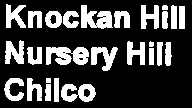
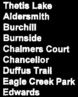
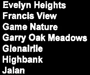
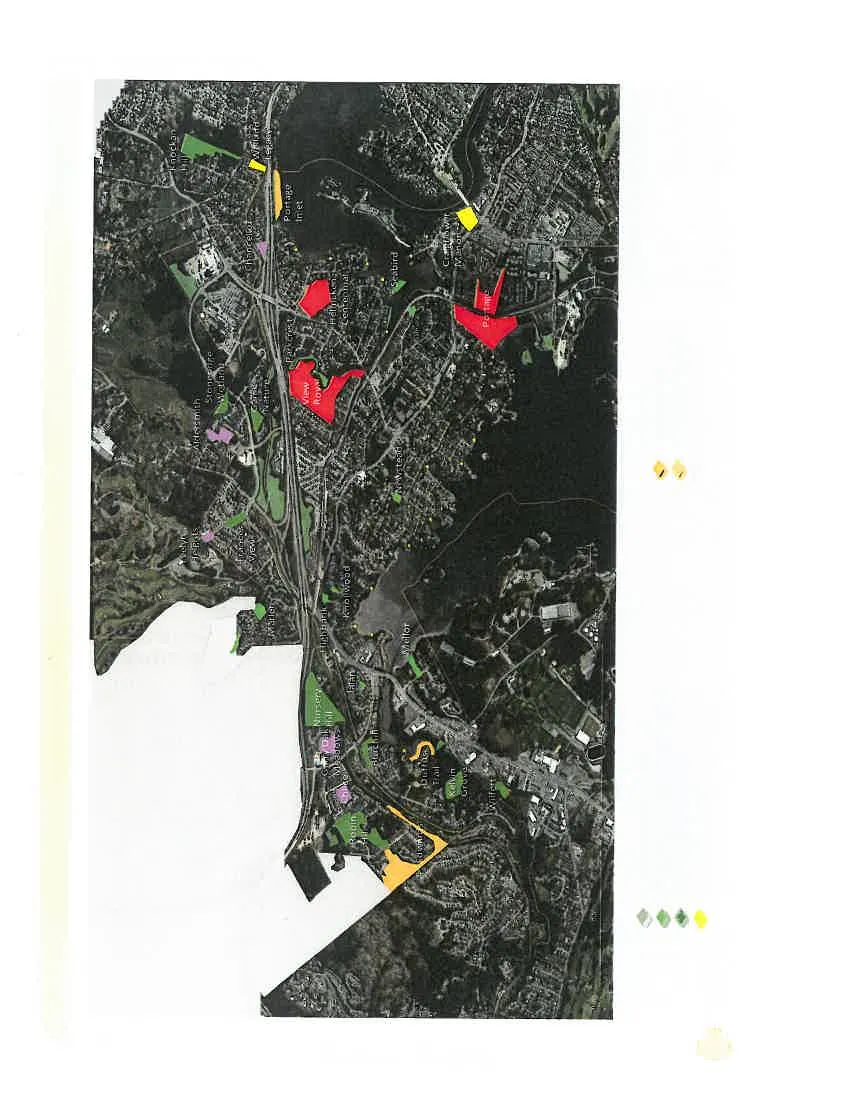
The following list provides an overview of park assets in View Royal and the current amenities available in each space. Each parkspace is also classified into one of eight categories that capture the categorizations contained in View Royal’s Official Community Plan:
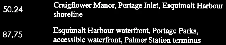
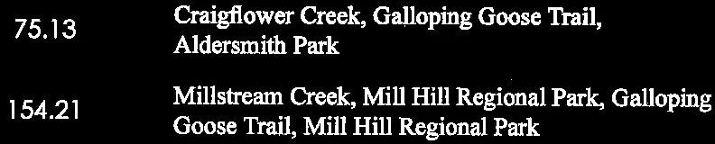
Table 3 examines the distribution of parkspaces by the eight local planning areas considered in View Royal’s OCP.
Table 3: Parks by Local Planning Area
| Local Planning Area | Area in Hectares (ha) | Features |
|---|---|---|
| Craigflower | 50.24 | Craigflower Manor, Portage Inlet, Esquimalt Harbour shoreline |
| Harbour | 87.75 | Esquimalt Harbour waterfront, Portage Parks, accessible waterfront, Palmer Station terminus |
| Helmcken | 137.7 | Portage Inlet shoreline, Helmcken Centennial Park, View Royal Park |
| Hospital | 75.29 | Galloping Goose Trail, Knockan Hill Park |
| Burnside | 75.13 | Craigflower Creek, Galloping Goose Trail, Aldersmith Park |
| Atkins | 154.21 | Millstream Creek, Mill Hill Regional Park, Galloping Goose Trail, Mill Hill Regional Park |
| Wilfert | 34.43 | Millstream Creek |
| Thetis | 543.72 | Thetis Lake Regional Park |
While 40% of the land base of the Town of View Royal is dedicated to park space (municipal and regional), Table 3 above illustrates that parklands are not evenly distributed across the municipality.
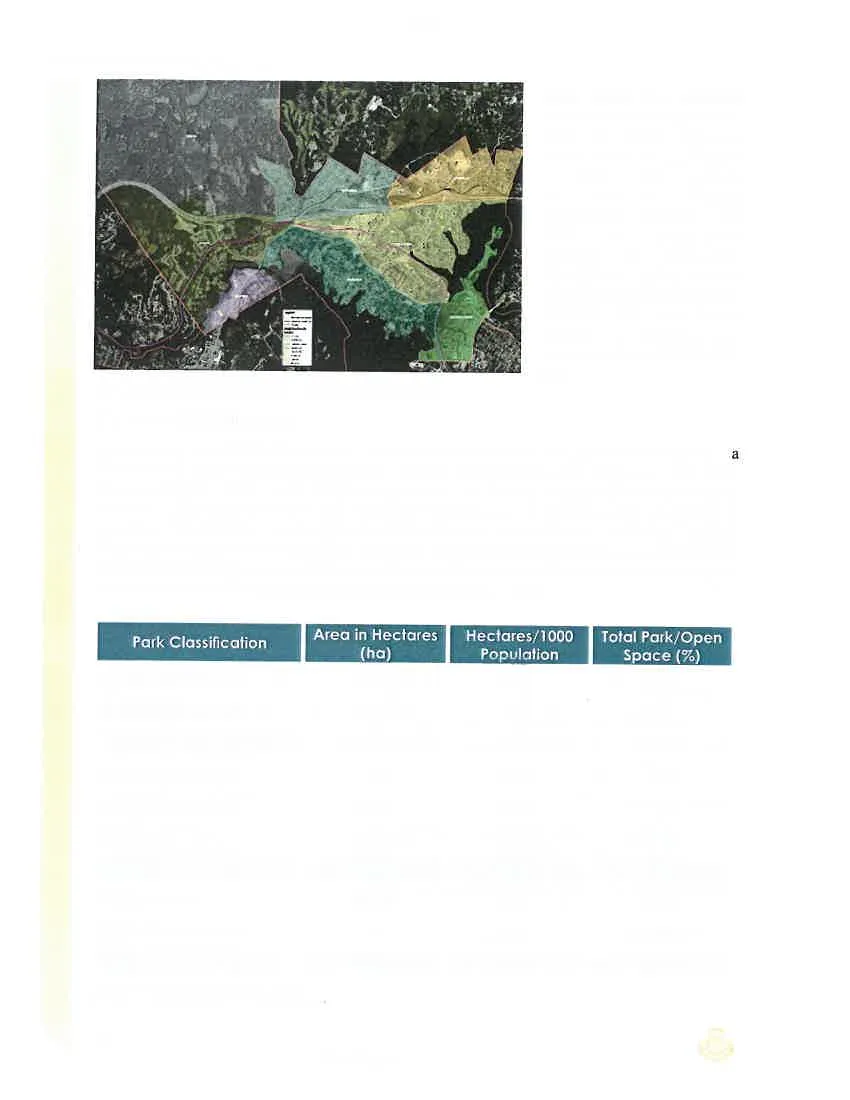
Areas along the shoreline benefit from waterfront access, while the Thetis Planning Area is served by the location of Thetis Lake Regional Park. Older areas, including Craigflower, Hospital, and Wilfert, have smaller areas classified as parkspaces. Burnside and Atkins, as more recently developed areas, have benefited from the Town’s approach to planning and development as outlined in the OCP.
6.2 Park Classification
Across urban areas in North America, a common “rule of thumb” for parkland/open space is a minimum of 5.0-hectares/1000 population. Without accounting for land that is not under View Royal jurisdiction (parks under CRD management), the Town is slightly below this standard. However, when Regional Parks and Special Purpose Areas are included, this benchmark is exceeded. This indicates the significance of View Royal’s context within the Capital Regional District, as the need for park acquisition is reduced. Future planning should focus on the protection of existing park spaces, developing lands with sensitivity to the natural environment, and ensuring objectives meet the changing demographics and community needs.
Table 4: Classification and Areas
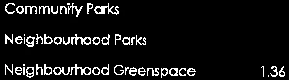
| Park Classification | Area in Hectares (ha) | Hectares/1000 Population | Total Park/Open Space (%) |
|---|---|---|---|
| Community Parks | 15.61 | 1.84 | 2.60 |
| Neighbourhood Parks | 2.51 | 0.30 | 0.40 |
| Neighbourhood Greenspace | 1.36 | 0.16 | 0.20 |
| Natural Greenspace | 11.13 | 1.31 | 1.80 |
| Shoreline Accesses | 1.92 | 0.23 | 0.30 |
| Linear Parks | 3.46 | 0.41 | 0.60 |
| Subtotal | 35.99 | 4.25 | 6.00 |
| Regional Parks | 566.09 | 66.60 | 93.80 |
| Special Purpose Areas | 1.13 | 0.13 | 0.20 |
| Total | 603.21 | 70.98 | 100.00 |
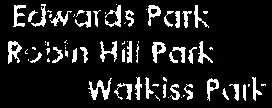
- Community Parks: Generally large parks providing passive and active recreation options, with a range of amenities of interest to the entire community. These spaces may also contain significant environmental features. (e.g., Edwards Park, Robin Hill Park, Burnside Watkiss Park)
- Neighbourhood Parks: These are generally smaller in area than community parks and respond to the open space and recreation needs of local residents. Amenities include passive and active recreation uses, along with significant open space. (e.g., Aldersmith Park)
- Neighbourhood Greenspace: These are small, open spaces in residential areas, some offering playground equipment intended for use by local residents. Ideally, all residents have access to a Neighbourhood Greenspace within ½ kilometre walking distance from their home. (N/A)
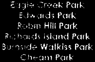
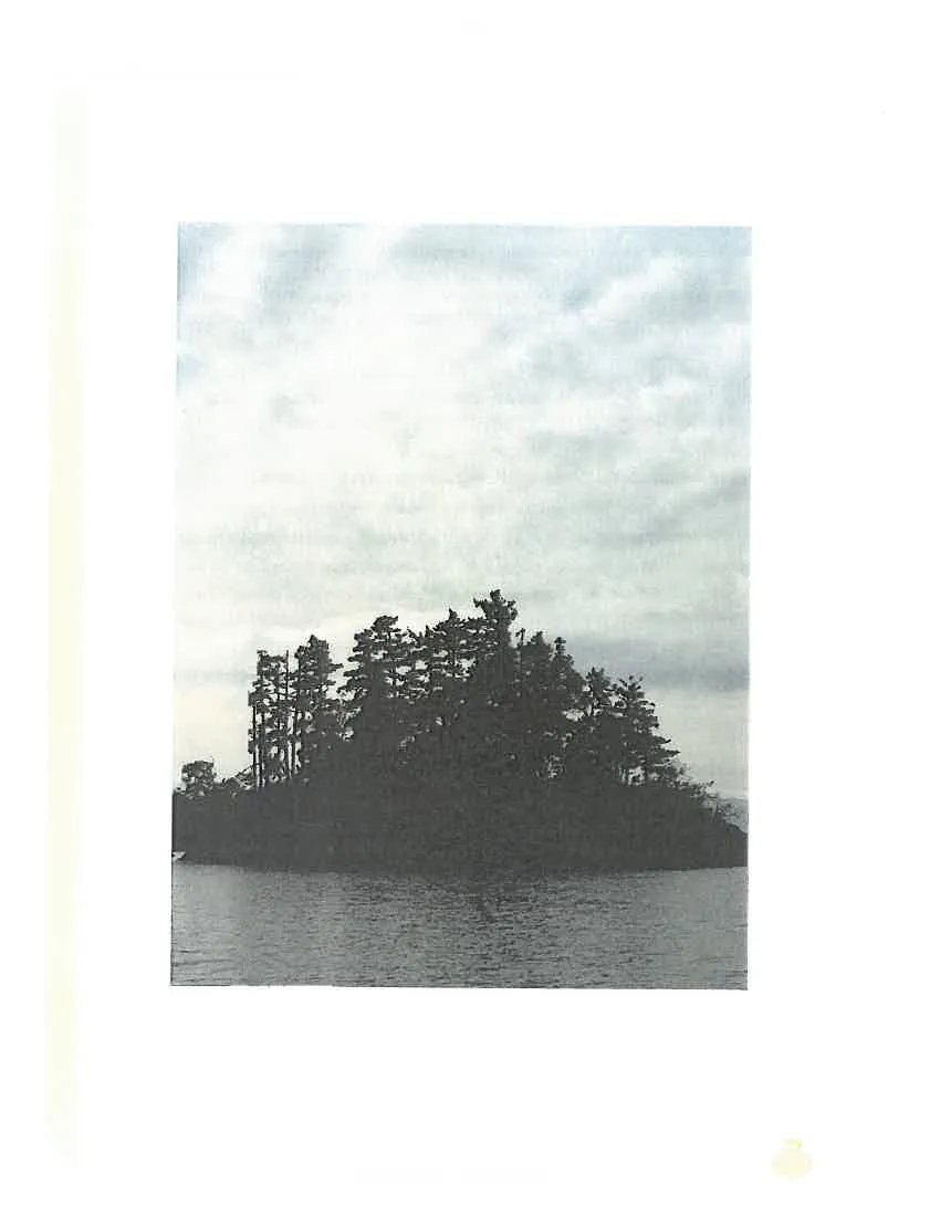
- Natural Greenspace: These areas protect natural systems and preserve sensitive ecosystems. Recreational use is limited to passive enjoyment and pedestrian trails. (e.g., Eagle Creek Park, Edwards Park, Robin Hill Park, Richards Island Park, Burnside Watkiss Park, Cheam Park, Thetis Vale Phase 7 Park)
- Shoreline Accesses: There are several parks that provide waterfront access, as well as a network of shoreline access points that are in some cases undeveloped or inaccessible to residents. (e.g., Portage Inlet Linear Park)
- Linear Parks: Linear parks play a role in providing connections between park spaces, as well as providing for walking, hiking, and biking opportunities. (e.g., Heddle Park, Heddle Linear Connector, Portage Inlet Linear Park)
- Regional Parks: These parks are managed by the CRD and provide recreational facilities for View Royal residents, citizens of surrounding municipalities, and visitors to the area. These regional parks generally focus on the connection between humans and nature. (e.g., Eagle Creek Park)
- Special Purpose Areas: These areas include points of historical and cultural interest that are of special interest in the town. (e.g., Lime Kiln Park, Welland Legacy Park)
7.0 Goals and Strategies
Building on the Town’s existing planning documents and community input, eight overall goals, each with a range of supporting strategies, have been identified for View Royal parks. These Goals and Strategies are summarized below, and then are set in motion through the Action Plan that sets out priorities, identifies costs, and details specific actions to achieve the Town’s Vision for parks and trails, which states:
The parks system is integral to the unique spirit of place of View Royal. The park system supports and enhances the health of the community for residents, wildlife, and ecosystems. Maintaining opportunities to connect people to nature and recreation through strategic investment and management is vital to maintaining the high quality of life in View Royal.
7.1 Overall Goals and Strategies
7.1.1 Goal 1: Maintain and Improve Existing Parks
- Develop a detailed inventory of existing parks according to neighbourhood needs
- Ensure high levels of safety and security are achieved through careful design and management
- Establish and achieve high standards in park infrastructure, while aiming to balance the development of new park amenities with current and evolving demographics.
7.1.2 Goal Two: Provide Diverse and Inclusive Recreational Opportunities
- Foster a range of active and interesting activities by enhancing sense of place
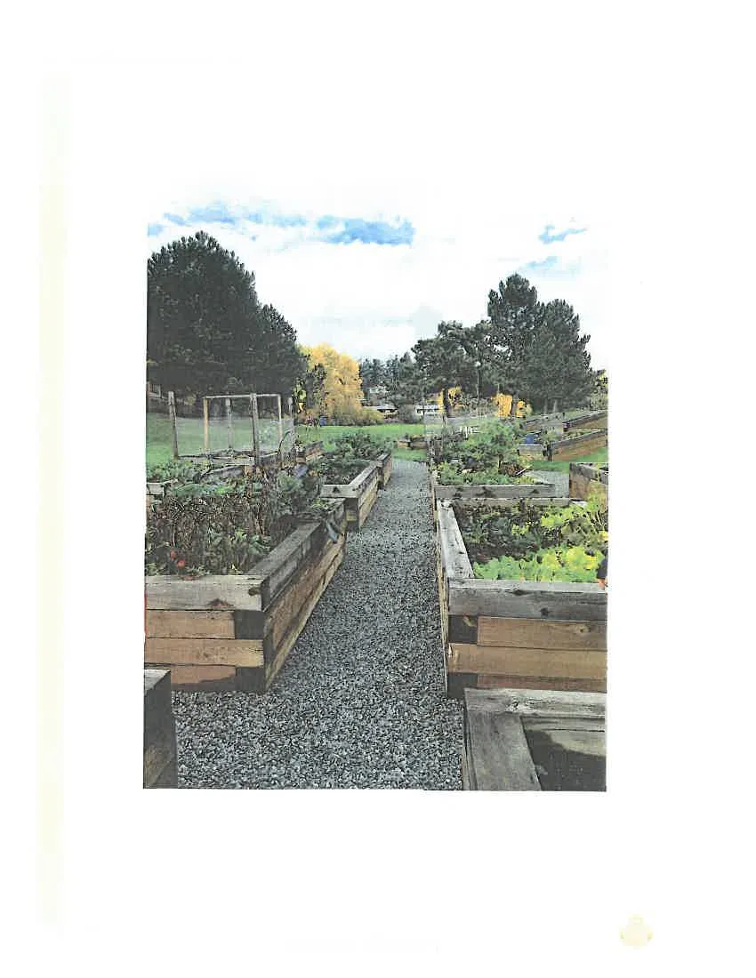
- Design a food security strategy that will encourage the development of community gardens, urban farming, and farmers’ markets in appropriate parks
- Develop a new “festival space” that encourages community gatherings and events.
7.1.3 Goal Three: Support and Enhance the Health of Ecosystems
- Seek out partnerships with other levels of government to update the Sensitive Ecosystem Inventory
- Work with surrounding jurisdictions to take a holistic approach to ecosystem management
- Develop and implement an invasive species management strategy
- Protect natural areas and trail systems that provide buffers and wildlife corridors.
7.1.4 Goal Four: Connect People with Places and Nature
- Provide up to date information and well defined procedures to ensure property development augments connections and spaces within the Park System
- Implement a comprehensive outreach strategy that includes a cohesive signage plan for connecting people to nature in all parks and trails
- Expand donation, partnership, and sponsor opportunities.
7.1.5 Goal Five: Connect People to Water
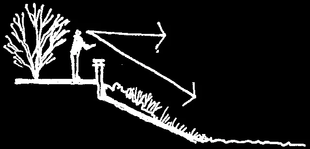
- Develop a limited range of waterfront road end opportunities including viewpoints, launch sites for non-motorized boats, and public access to the waterfront
- Balance use of the waterfront with the protection of environmentally sensitive features.
7.1.6 Goal Six: Improve Access to Parks
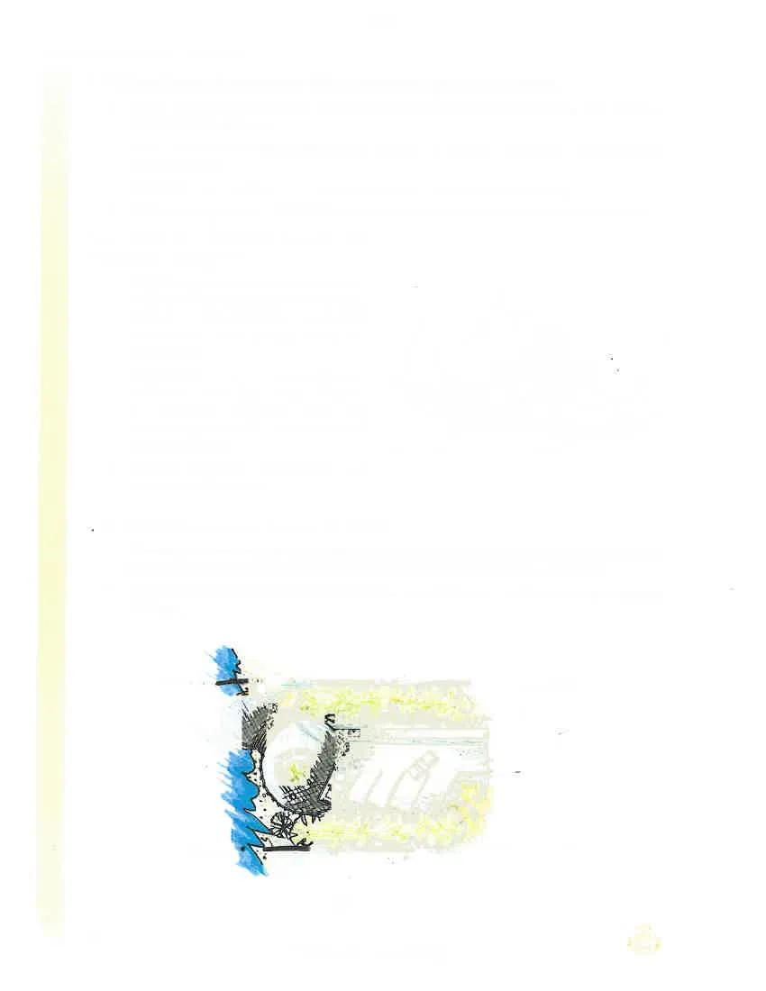
- Create a detailed parking strategy that improves accessibility while managing the impacts of parking on surrounding land uses and the environment
- Increase the connectivity of transit and bike paths to the parks and trails system
- Increase the accessibility of parks and trails for all users.
7.1.7 Goal Seven: Encourage Community Involvement
- Promote and recognize the importance of volunteers
- Encourage community stewardship
- Actively promote activities and events in park spaces.
7.1.8 Goal Eight: Focus Acquisitions on Enhancing the Current Park and Trail System Priorities
- Increase resident participation in the identification of park and trail priorities
- Seek out additional funding mechanisms.
The implementation of these Goals and Strategies is detailed in Section 8.0 Action Plan.
8.0 Action Plan
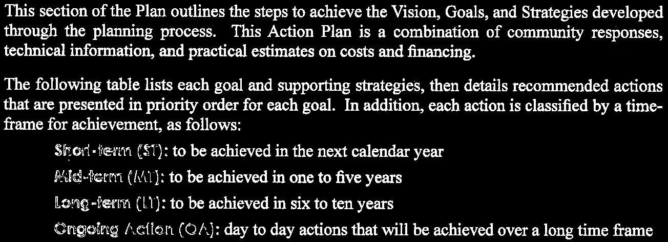
This section of the Plan outlines the steps to achieve the Vision, Goals, and Strategies developed through the planning process. This Action Plan is a combination of community responses, technical information, and practical estimates on costs and financing.
The following table lists each goal and supporting strategies, then details recommended actions that are presented in priority order for each goal. In addition, each action is classified by a time-frame for achievement, as follows:
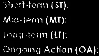
- Short-term (ST): to be achieved in the next calendar year
- Mid-term (MT): to be achieved in one to five years
- Long-term (LT): to be achieved in six to ten years
- Ongoing Action (OA): day to day actions that will be achieved over a long time frame
- Future Action (FA): actions that will require additional resources outside of the scope of this Plan.
The final section of this report incorporates budget expenditures to classify these priorities into three different scenarios, depending on expenditures on parks and trails.
Goal One: Maintain and Improve Existing Parks and Trails
Strategy 1. Develop a detailed inventory of existing parks according to neighbourhood needs
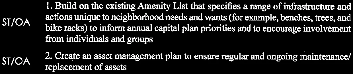
- ST/OA | 1. Build on the existing Amenity List that specifies a range of infrastructure and actions unique to neighborhood needs and wants (for example, benches, trees, and bike racks) to inform annual capital plan priorities and to encourage involvement from individuals and groups
- ST/OA | 2. Create an asset management plan to ensure regular and ongoing maintenance/replacement of assets
Strategy 2. Ensure high levels of safety and security are achieved through careful design and management
- ST | 3. Complete a safety audit of all parks and infrastructure
- MT | 4. Initiate a review of all parks and trails from a Crime Prevention Through Environmental Design (CPTED) lens and make necessary adjustments
Strategy 3. Establish and achieve high standards in park infrastructure, while aiming to balance the development of new park amenities with current and evolving demographics
- MT/OA | 5. Recognize View Royal’s unique character in site furnishings by replacing existing infrastructure over time as needed to achieve a theme across parks and trails
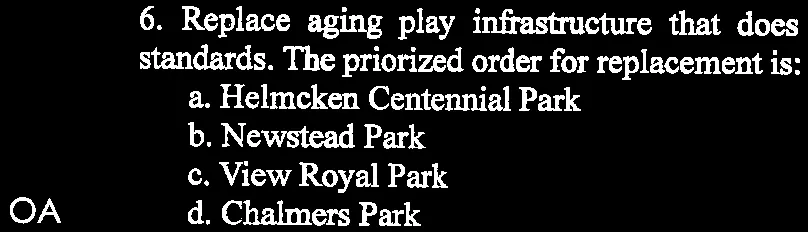
- OA | 6. Replace aging play infrastructure that does not meet current play space standards. The prioritized order for replacement is:
- a. Helmcken Centennial Park
- b. Newstead Park
- c. View Royal Park
- d. Chalmers Park
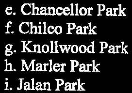
- e. Chancellor Park
- f. Chilco Park
- g. Knollwood Park
- h. Marler Park
- i. Jalan Park
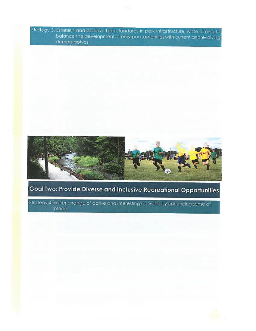
Goal Two: Provide Diverse and Inclusive Recreational Opportunities
Strategy 4. Foster a range of active and interesting activities by enhancing sense of place
- OA | 1. Maintain View Royal Park as a passive recreation facility with minor amendments including additional site furnishings, improved riparian areas, playground upgrades and additional dog-bag dispensers
- MT | 2. Complete detailed plans for the addition of an active recreation facility(ies) in View Royal Park
- ST/MT | 3. Emphasize the historical and cultural significance of Portage Park. Add interpretive improvements to the park documenting First Nation’s history and early European settlement in the area (see DRAFT Portage Park Management Plan 2006)
- ST | 4. Recognize Helmcken Centennial Park as the key active recreational facility in View Royal by improving existing infrastructure and services
- MT/FA | 5. Develop a youth feature park, such as a skate park or water play park (splash park) in View Royal Park
Strategy 5. Design a food security strategy that would encourage the development of community gardens, urban farming, and farmer’s markets in appropriate parks
- ST | 6. Design a community garden in a selected park (after completing neighbourhood consultation on an appropriate location)
- ST | 7. Where appropriate, plant food trees to provide foodstuffs (fruit, nuts) to residents and wildlife instead of ornamental trees
- ST | 8. Educate the public and maintain high community standards on the interface between humans and wildlife
- ST/MT | 9. Establish a weekly farmer’s market in View Royal Park
Strategy 6. Develop a new “festival space” that encourages community gatherings and events
- MT/LT | 10. Establish a community gathering place/centerpiece at View Royal Park, developed through a community design process
Goal Three: Support and Enhance the Health of Ecosystems
Strategy 7. Seek out partnerships with other levels of government to update the Sensitive Ecosystem Inventory
- ST | 1. Work with the Province to accurately update the Sensitive Ecosystem Mapping
- ST/OA | 2. Implement a detailed management plan that considers terrestrial, aquatic, and avian species, as well as herbaceous species.
Strategy 8. Work with surrounding jurisdictions to take a holistic approach to ecosystem management
- OA | 3. Request that the CRD initiate a detailed review process to ensure that the Regional Growth Strategy and other regional planning documents match natural boundaries, not political boundaries
Strategy 9. Develop and implement an invasive species management strategy
- ST | 4. Identify and immediately remove any hogweed or other harmful invasive species
- OA | 5. Develop a detailed invasive species management and environmental rehabilitation plan
- ST/OA | 6. Seek out provincial and federal government funding for the development of this plan through Environmental Canada’s Invasive Alien Species Partnership Program
- ST/OA | 7. Support the annual “Broombusters in the Parks” event and invite community members to be part of this initiative
- ST/OA | 8. Work with the CRD through the CRISP partnership to develop outreach materials on invasive species
Goal Four: Connect People with Places and Nature
Strategy 10. Protect natural areas and trail systems that provide buffers and wildlife corridors
- ST/OA | 9. Work to address the flood-control problems in park spaces
- ST/OA | 10. Review the Dogs in Parks policies to minimize potential human/dog conflicts
- ST/OA | 11. Limit future off-leash dog areas to parks without highly sensitive ecosystems or important bird and animal
Strategy 11. Provide up to date information and well defined procedures to ensure property development augments connections and spaces within the Park System
- MT/OA | 1. Establish clear guidelines for development applications and continue to work with landowners and developers to ensure the provision of linear open space systems and trails, in particular along the shores of Millstream Creek
- ST/OA | 2. Limit access in areas designated by the OCP as Environmental Protection and Natural Hazard Development Permit Areas to linear trails, where appropriate
Strategy 12. Implement a comprehensive outreach strategy that includes a cohesive signage plan for connecting people to nature in all parks and trails
- ST | 3. Establish a design committee to create a new theme for View Royal’s parks and trails signage and infrastructure to improve park identification, wayfinding and branding, and develop a corresponding strategy for implementation
- ST/OA | 4. Ensure View Royal’s rich history is identified in park areas
- ST/OA | 5. Update and expand the View Royal website to include such content as a downloadable copy of the updated parks brochure and information on each of the individual parks
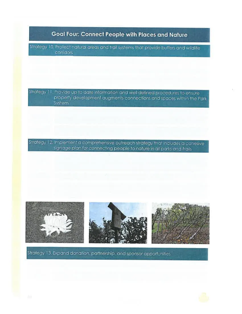
Strategy 13. Expand donation, partnership, and sponsor opportunities
- ST | 6. List desired amenities by price in the Amenity Plan
- OA | 7. Ensure widespread publication of the Amenity Plan to groups, individuals, or agencies who may be interested in funding specific amenities
Goal Five: Connect People to Water
Strategy 14. Develop a limited range of waterfront road end opportunities including viewpoints, launch sites for non-motorized boats, and public access to the waterfront
- ST/MT/OA | 1. Upgrade Portage waterfront lookouts with benches, overhangs, landscaping, and interactive signs
- OA | 2. Install non-motorized boat-launches at Esquimalt Harbour and Portage Inlet
- MT/LT | 3. Implement a waterfront access improvement program to carry out needed improvements at appropriate road ends
Strategy 15. Balance use of the waterfront with the protection of environmentally sensitive features
- ST/OA | 4. Use signage to ensure that waterfront access points are clearly defined in order to maintain minimal impact on the surrounding ecosystems
Goal Six: Improve Access to Parks
Strategy 16. Create a detailed parking strategy that improves accessibility while managing the impacts of parking on surrounding land uses and the environment
- MT/LT | 1. Develop a fine-grained parking strategy that limits intrusions into residential areas, yet provides sufficient parking to support the use of amenities
Strategy 17. Increase the connectivity of transit and bike paths to the parks and trails system
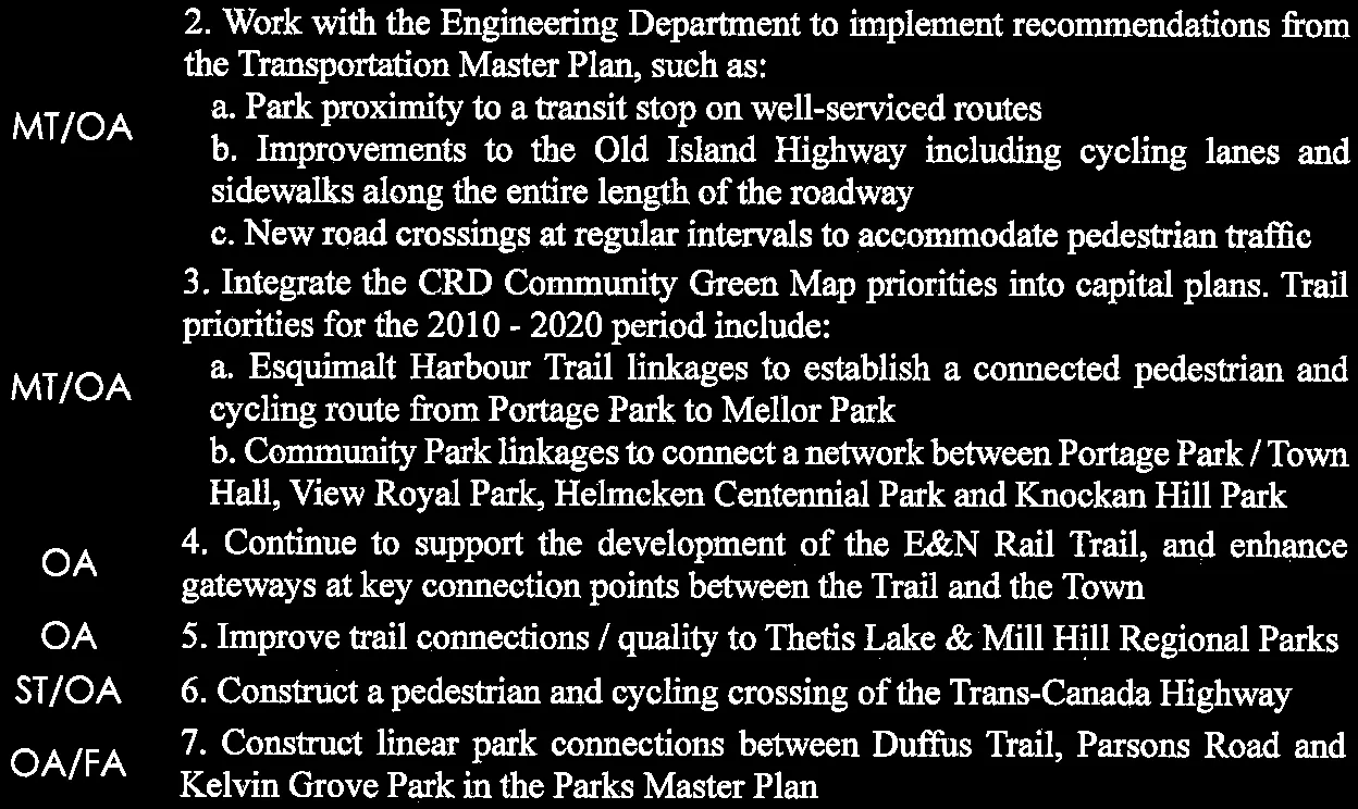
- MT/OA | 2. Work with the Engineering Department to implement recommendations from the Transportation Master Plan, such as:
- a. Park proximity to a transit stop on well-serviced routes
- b. Improvements to the Old Island Highway including cycling lanes and sidewalks along the entire length of the roadway
- c. New road crossings at regular intervals to accommodate pedestrian traffic
- MT/OA | 3. Integrate the CRD Community Green Map priorities into capital plans. Trail priorities for the 2010 - 2020 period include:
- a. Esquimalt Harbour Trail linkages to establish a connected pedestrian and cycling route from Portage Park to Mellor Park
- b. Community Park linkages to connect a network between Portage Park / Town Hall, View Royal Park, Helmcken Centennial Park and Knockan Hill Park
- OA | 4. Continue to support the development of the E&N Rail Trail, and enhance gateways at key connection points between the Trail and the Town
- OA | 5. Improve trail connections / quality to Thetis Lake & Mill Hill Regional Parks
- ST/OA | 6. Construct a pedestrian and cycling crossing of the Trans-Canada Highway
- OA/FA | 7. Construct linear park connections between Duffus Trail, Parsons Road and Kelvin Grove Park in the Parks Master Plan
Goal Seven: Encourage Community Involvement
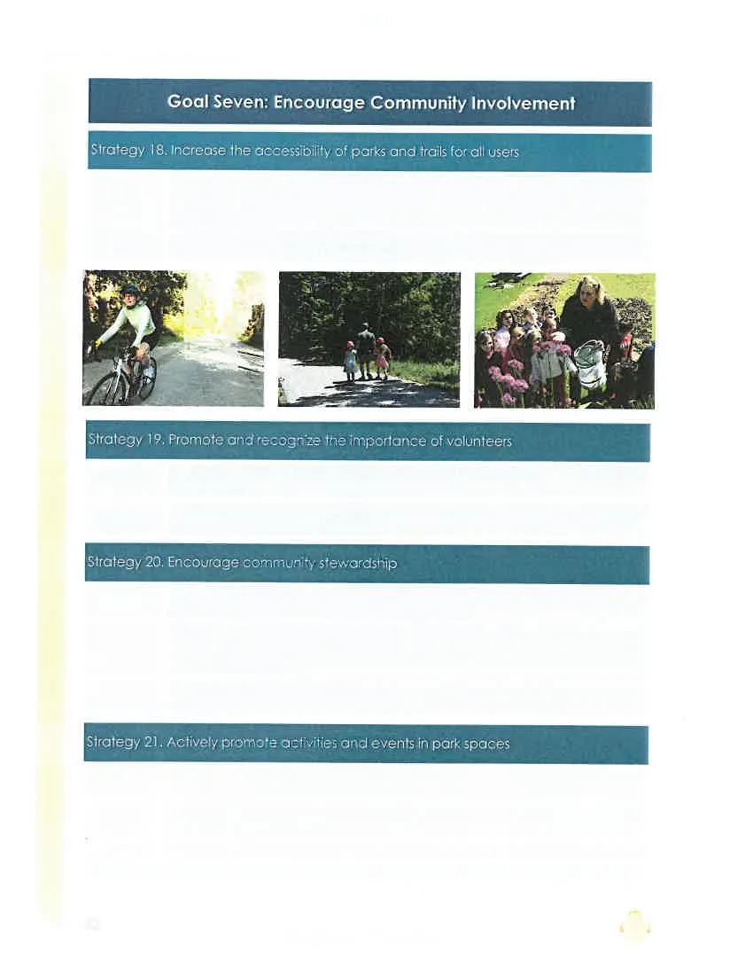
Strategy 18. Increase the accessibility of parks and trails for all users
- ST/OA | 8. Identify and remove barriers to wheeled travelers (strollers, wheelchairs, scooters) where appropriate, making sure to consider the mobility requirements of an aging population
- OA | 9. Ensure that the design of new playground equipment and layout of park space is accessible to wheelchairs and others who are mobility impaired
Strategy 19. Promote and recognize the importance of volunteers
- ST/OA | 1. Review View Royal’s Volunteer Strategy for potential new community involvement
- MT/OA | 2. Develop a series of Council-sponsored community awards to celebrate and recognize community volunteers
Strategy 20. Encourage community stewardship
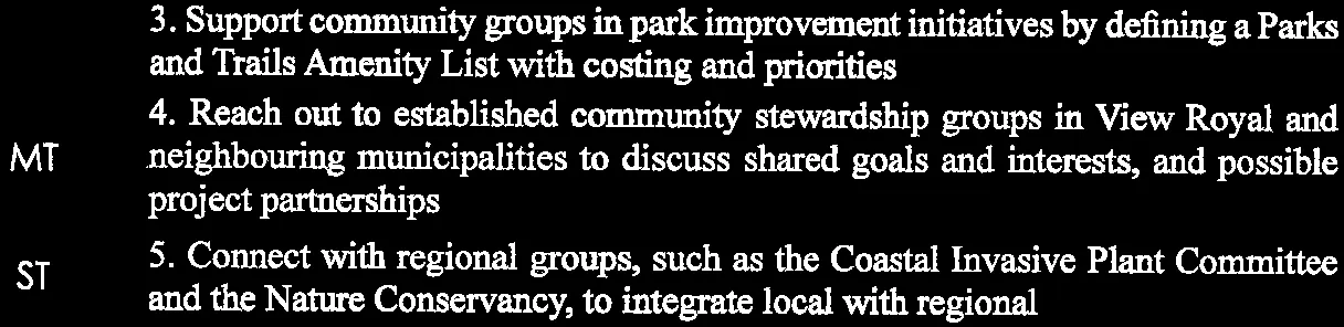
- ST/MT | 3. Support community groups in park improvement initiatives by defining a Parks and Trails Amenity List with costing and priorities
- MT | 4. Reach out to established community stewardship groups in View Royal and neighbouring municipalities to discuss shared goals and interests, and possible project partnerships
- ST | 5. Connect with regional groups, such as the Coastal Invasive Plant Committee and the Nature Conservancy, to integrate local with regional efforts
Strategy 21. Actively promote activities and events in park spaces
- ST/OA | 6. Actively work with local community groups and individuals to program a range of events and activities in appropriate parks over the summer months
- MT/LT | 7. Acquire a portable stage/performance equipment to contribute to the success of events and gatherings
- MT/LT | 8. Develop infrastructure in appropriate parks to encourage gatherings and events
- ST/MT/OA | 9. Increase necessary maintenance and signage to support activities and events
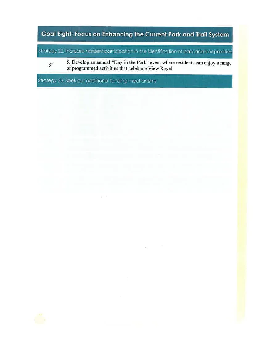
Goal Eight: Focus on Enhancing the Current Park and Trail System
Strategy 22. Increase resident participation in the identification of park and trail priorities
- ST | 5. Develop an annual “Day in the Park” event where residents can enjoy a range of programmed activities that celebrate View Royal
Strategy 23. Seek out additional funding mechanisms
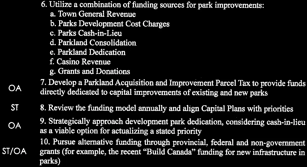
- OA | 6. Utilize a combination of funding sources for park improvements:
- a. Town General Revenue
- b. Parks Development Cost Charges
- c. Parks Cash-in-Lieu
- d. Parkland Consolidation
- e. Parkland Dedication
- f. Casino Revenue
- g. Grants and Donations
- OA | 7. Develop a Parkland Acquisition and Improvement Parcel Tax to provide funds directly dedicated to capital improvements of existing and new parks
- ST | 8. Review the funding model annually and align Capital Plans with priorities
- OA | 9. Strategically approach development park dedication, considering cash-in-lieu as a viable option for actualizing a stated priority
- ST/OA | 10. Pursue alternative funding through provincial, federal and non-government grants (for example, the recent “Build Canada” funding for new infrastructure in parks)
8.1 Costing Scenarios
Three scenarios have been developed to assist the Town in future decision making on parks in View Royal. It is important to note that these scenarios are estimations based on current priorities: priorities may change in the future as goals are achieved and growth continues to shape the community.
Residents who responded to the survey were in favour of budget increases, with the majority of respondents supporting an increased tax requisition of $21-30 annually. Other submissions were more tolerant of an $11-20 increase, while others suggested varying from additional user fees, or accessing provincial and federal resources. Additional revenue sources included:
- Parks Development Cost Charges
- Parks Cash-in-Lieu
- Parkland Consolidation
- Parkland Dedication
- Casino Revenue
- Grants and Donations
The current budget sets out spending for operations and capital projects. It is noted that an increase in the capital budget will often increase operational costs. Added to this, upkeep has been identified as a concern for View Royal Parks, signifying that additional budget may be required to meet community expectations for maintenance and renewal in park spaces. However, some of these additional costs may be mitigated with the implementation of strategic asset management and tracking.
8.1.1 Scenario One
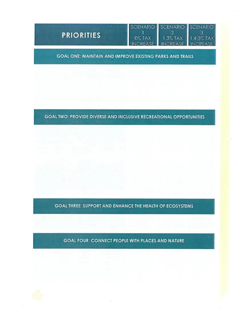
Realistic budget estimates are a critical part of the Parks Master Plan. The Town has historically been prudent with spending and this Plan supports a conservative approach: however, this does not imply that the Town of View Royal cannot plan and execute a vision of exceptional quality. Scenario One calls for no increase in the tax expenditure on parks. It implements the most essential improvements, enhancing the Town’s parks in the most cost effective manner. By shifting the focus of Parks capital budget to objectives that activate community and sense of place, a more distinct Parks system will be developed.
8.1.2 Scenario Two
Recognizing that additional funding sources external to residents may be limited or uncertain, this scenario recommends a small and/or incremental tax increase that raises additional funds specifically for parks. With a budget increase of $80,000 a year, the following priorities would become a reality over the next 10 years.
8.1.3 Scenario Three
Residents identified many ideas for the Town’s park spaces through the consultation process, ranging from modest to grand. Some of the more significant projects are represented in the third scenario, with objectives ranging from an attraction piece to introducing more youth-focused space. These improvements to View Royal’s Park System could be achieved with a budget increase of $120,000 a year over the next 10 years. As with Scenario Two, these additions and actions would directly provide distinct identity and sense of place to the Town of View Royal.
PRIORITIES
| PRIORITIES | SCENARIO 1 (0% TAX INCREASE) | SCENARIO 2 (1.3% TAX INCREASE) | SCENARIO 3 (1.4-3% TAX INCREASE) |
|---|---|---|---|
| GOAL ONE: MAINTAIN AND IMPROVE EXISTING PARKS AND TRAILS | |||
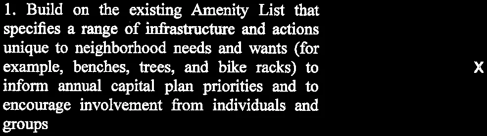
| 1. Build on the existing Amenity List that specifies a range of infrastructure and actions unique to neighborhood needs and wants (for example, benches, trees, and bike racks) to inform annual capital plan priorities and to encourage involvement from individuals and groups | X | ||
| GOAL TWO: PROVIDE DIVERSE AND INCLUSIVE RECREATIONAL OPPORTUNITIES | |||
| 1. Maintain View Royal Park as a passive recreation facility with minor amendments including additional site furnishings, improved riparian areas, playground upgrades and additional dog-bag dispensers | X | ||
| 2. Emphasize the historical and cultural significance of Portage Park. Add interpretive improvements to the park documenting First Nation’s history and early European settlement in the area (see DRAFT Portage Park Management Plan 2006) | X | ||
| GOAL THREE: SUPPORT AND ENHANCE THE HEALTH OF ECOSYSTEMS | |||
| 1. Work with the Province to accurately update the Sensitive Ecosystem Mapping | X | ||
| GOAL FOUR: CONNECT PEOPLE WITH PLACES AND NATURE | |||
| 1. Establish clear guidelines for development applications and continue to work with landowners and developers to ensure the provision of linear open space systems and trails, in particular along the shores of Millstream Creek | X | ||
| 3. Establish a design committee to create a new theme for View Royal’s parks and trails signage and infrastructure to improve park identification, wayfinding and branding, and develop a corresponding strategy for implementation | X | ||
| GOAL FIVE: CONNECT PEOPLE TO WATER | |||
| 1. Upgrade Portage waterfront lookouts with benches, overhangs, landscaping, and interactive signs | X | ||
| 2. Install non-motorized boat-launches at Esquimalt Harbour and Portage Inlet | X | ||
| GOAL SIX: IMPROVE ACCESS TO PARKS | |||
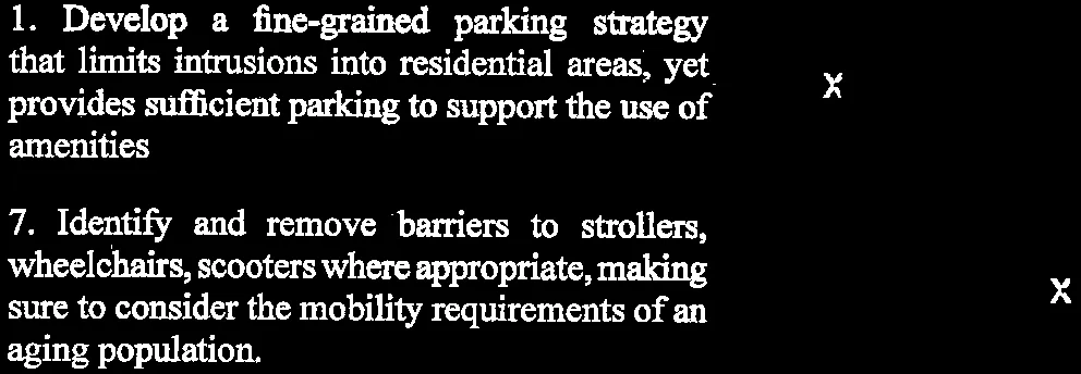
| 1. Develop a fine-grained parking strategy that limits intrusions into residential areas, yet provides sufficient parking to support the use of amenities | X | ||
| 7. Identify and remove barriers to strollers, wheelchairs, scooters where appropriate, making sure to consider the mobility requirements of an aging population. | X | ||
| GOAL SEVEN: ENCOURAGE COMMUNITY INVOLVEMENT | |||
| 1. Review View Royal’s Volunteer Strategy for potential new community involvement | X | ||
| 6. Actively work with local community groups and individuals to program a range of events and activities in appropriate parks over the summer months | X | ||
| GOAL EIGHT: FOCUS ACQUISITIONS ON ENHANCING THE CURRENT PARK AND TRAIL SYSTEM PRIORITIES | |||
| 1. Construct linear park connections between Duffus Trail, Parsons Road and Kelvin Grove Park in the Parks Master Plan | X |
9.0 Appendix
1.0 Waterfront Access Point Interviews
Afternoon Session - Interview Questions and Consolidated Answers
Q. What do you think about the public having access to waterfront through public access points? Most respondents favoured public access to the waterfront road ends in general. However, most qualified their support with concerns. These concerns ranged from the siting of access points (only those accesses that would not overly impact adjacent residences should be developed) to concerns about impeding on private property.
Some respondents thought waterfront access should be limited to park areas. Some felt the public already had adequate access to waterfront areas.
There was some concern about “water access” where the tidal flats are too shallow to permit actual access to the water.
At least two respondents did not support public access in the locations identified on Kingham Place/Tidewater Road. One of these access points, Polly Place, was particularly contentious.
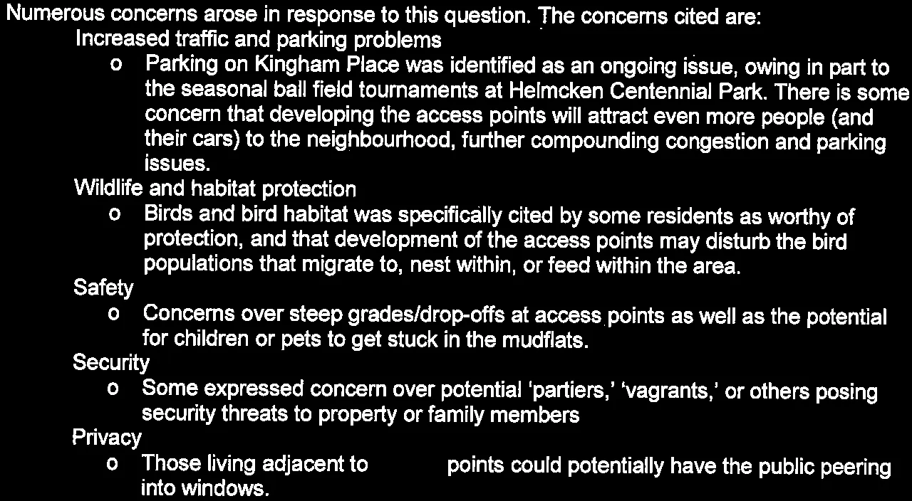
Q. What, if any, are your concerns about allowing greater waterfront access in View Royal? Numerous concerns arose in response to this question. The concerns cited are:
- Increased traffic and parking problems
- Parking on Kingham Place was identified as an ongoing issue, owing in part to the seasonal ball field tournaments at Helmcken Centennial Park. There is some concern that developing the access points will attract even more people (and their cars) to the neighbourhood, further compounding congestion and parking issues.
- Wildlife and habitat protection
- Birds and bird habitat was specifically cited by some residents as worthy of protection, and that development of the access points may disturb the bird populations that migrate to, nest within, or feed within the area.
- Safety
- Concerns over steep grades/drop-offs at access points as well as the potential for children or pets to get stuck in the mudflats.
- Security
- Some expressed concern over potential ‘partiers,’ ‘vagrants,’ or others posing security threats to property or family members
- Privacy
- Those living adjacent to access points could potentially have the public peering into windows.
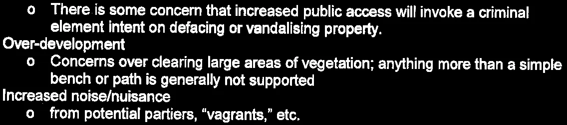
- Vandalism
- There is some concern that increased public access will invoke a criminal element intent on defacing or vandalising property.
- Over-development
- Concerns over clearing large areas of vegetation; anything more than a simple bench or path is generally not supported
- Increased noise/nuisance
- from potential partiers, “vagrants,” etc.
- Litter
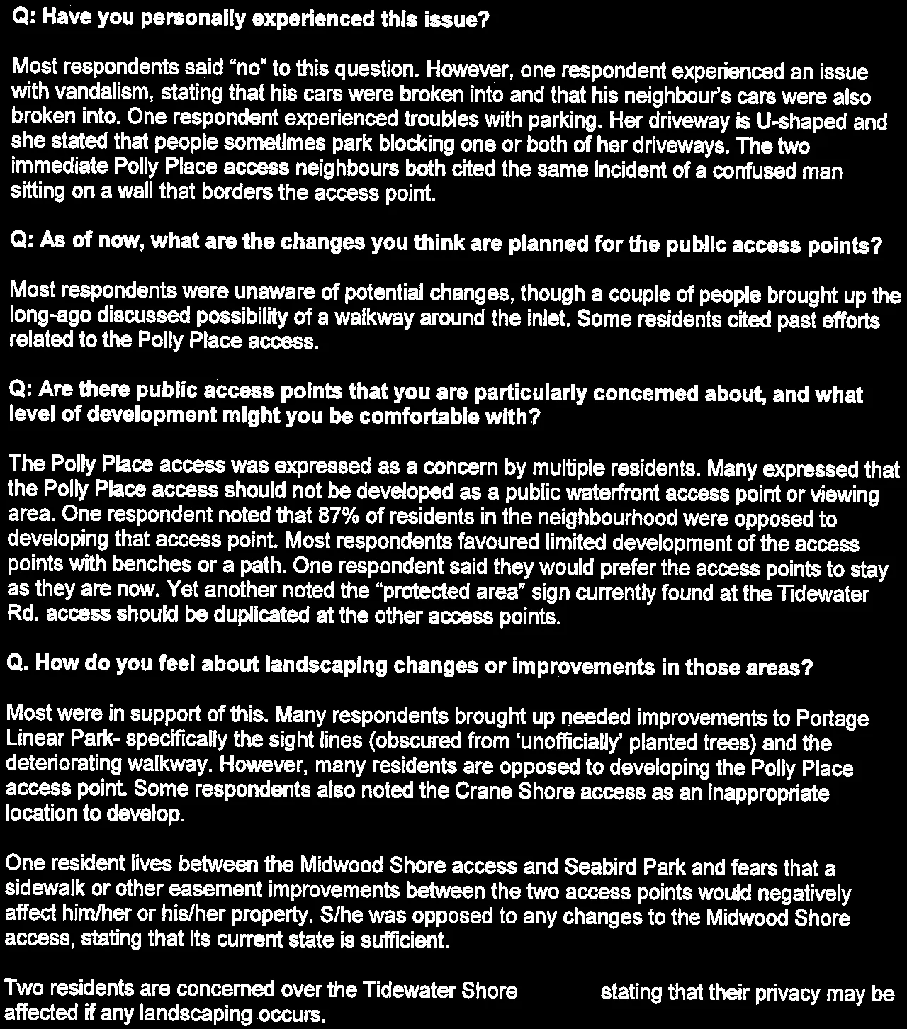
Q: Have you personally experienced this issue? Most respondents said “no” to this question. However, one respondent experienced an issue with vandalism, stating that his cars were broken into and that his neighbour’s cars were also broken into. One respondent experienced troubles with parking. Her driveway is U-shaped and she stated that people sometimes park blocking one or both of her driveways. The two immediate Polly Place access neighbours both cited the same incident of a confused man sitting on a wall that borders the access point.
Q: As of now, what are the changes you think are planned for the public access points? Most respondents were unaware of potential changes, though a couple of people brought up the long-ago discussed possibility of a walkway around the inlet. Some residents cited past efforts related to the Polly Place access.
Q: Are there public access points that you are particularly concerned about, and what level of development might you be comfortable with? The Polly Place access was expressed as a concern by multiple residents. Many expressed that the Polly Place access should not be developed as a public waterfront access point or viewing area. One respondent noted that 87% of residents in the neighbourhood were opposed to developing that access point. Most respondents favoured limited development of the access points with benches or a path. One respondent said they would prefer the access points to stay as they are now. Yet another noted the “protected area” sign currently found at the Tidewater Rd. access should be duplicated at the other access points.
Q: How do you feel about landscaping changes or improvements in those areas? Most were in support of this. Many respondents brought up needed improvements to Portage Linear Park- specifically the sight lines (obscured from ‘unofficially’ planted trees) and the deteriorating walkway. However, many residents are opposed to developing the Polly Place access point. Some respondents also noted the Crane Shore access as an inappropriate location to develop.
One resident lives between the Midwood Shore access and Seabird Park and fears that a sidewalk or other easement improvements between the two access points would negatively affect him/her or his/her property. S/he was opposed to any changes to the Midwood Shore access, stating that its current state is sufficient.
Two residents are concerned over the Tidewater Shore access, stating that their privacy may be affected if any landscaping occurs. Two residents expressed the desire to make any improvements in an environmentally friendly manner, including creating native vegetation buffer areas between the shore and the road, or keeping the access points as they are currently.
One resident proposed the idea of dredging in the inlet to lessen the accumulation of silt and accommodate a dock.
Q. Would you be comfortable with a pathway and a bench or a picnic table? Several respondents were fine with this. Again, people brought up Portage Linear Park as a good candidate for these improvements. To reiterate, the Polly, Midwood, and Crane Shore access points were specifically stated by individuals as areas that should remain the way they are. Several residents felt the current accesses provided in existing park areas was sufficient to meet the needs of the public.
Q: If changes were made to the waterfront viewing points, what measures would you suggest for reducing the problems you’ve mentioned? Several residents suggested making limited provisions for parking for the access points. Some residents suggested a highway access to Portage Linear Park with some parking spots available in the park. To address security and crime-related concerns, increased police presence, appropriate lighting, and landscaping improvements to keep the area visible was suggested. Waste receptacles and pick-up services were suggested to address litter. Riparian zone protection was also mentioned to preserve wildlife habitat.
Evening Session - Interview questions and consolidated answers
2.3.1 Questions and Answers
Q. What do you think about the public having access to waterfront through public access points? The consensus here was that the public should have access to the waterfront and that even if you do not own property on the water, you still should be able to access it. There were concerns about the access to the water and whether that would encroach on individual property. Also, the areas where people would be able to access water should have some minor amenities including benches, trashcans and shrubbery. Boat access was also an issue raised. There needs to be an area to launch boats that does not interfere with individual property. Risks related to erosion and floating were also raised when discussing potential water accesses.
Q. What, if any, are your concerns about allowing greater waterfront access in View Royal? There are concerns about partying and littering and whether it’s safe for children. It is important to residents that private property is not touched in order to make room for vehicles. Problems right now include the fact that people can’t get their boats or kayaks near to the water. There isn’t enough parking for people to come and park when they access the waterfront, so this could disturb neighbours. There is concern for development of the access points interfering with the ecology and the natural habitat. There was a concern about losing access at the waterfront for private residents.
Q: Have you personally experienced this issue? There was one experience of feeling that the police should have been called on people at the waterfront, but this was not done.
Q. How do you feel about landscaping changes or improvements in those areas? Residents told us that minor shrubbery could be put in to beautify water accesses. Small paths into these areas would be welcomed. Whatever is done, residents say, should not interfere with the natural landscape especially along St. Giles St. and Shoreline Dr. Maintenance is an issue here, some say weeding is not done, trimming is lacking and overall upkeep is lacking.
Q. Would you be comfortable with a pathway and a bench or a picnic table? Few of the residents agreed to having a bench at the shoreline. They would like to have some steps or a ramp to make it easy to launch a kayak/canoe. Some concerns were expressed about benches and picnic tables filling up the available space at the shoreline. There is a need for benches at the end of Helmcken Park. Infrastructure like benches, trash cans and washroom facilities and other community facilities should be there.
Q: If changes were made to the waterfront viewing points, what measures would you suggest for reducing the problems you’ve mentioned? Concerns related to private property included people littering around properties adjacent to water accesses, so a garbage can (with recycling options) would be important. Also, residents were concerned that people would walk on their property to get to the water, specifically at Shoreline Drive and St. Giles street. So the Town should ensure that pathways required for water access should not encroach on private property. Fencing of the access should be done to clearly demarcate public and private lands. Adequate parking should be provided near access points so if someone does want to come and launch their kayak they are not blocking people’s driveways. If changes are made to the access points, it is important to retain the tranquility of the waterways. Stakeholders said Portage Inlet is a very quiet waterway and it needs to stay that way. Christie Point needs to be looked at to see what is being done there to protect natural environment. The shoreline should be kept the same, with little infrastructure.
2.0 Park Observational Summary
Portage Park Observation Summary Portage Park features include benches, picnic tables, bike path, water fountain, beach access, trails, information board and a playground. The observation period was approximately 12:20-13:45. At the time of arrival, there were 0 vehicles and 4 bikes parked on the perimeter of the park. There were 11 people walking, 11 people walking with dogs, 4 joggers, 15 cyclists, 1 skateboarder, and 4 people using the play structures. During the observation period, 10 people entered the park . 8 were adults, 2 were infants. All entered on foot, except one (mode not specified). 2 remained to use the playground. 2 walked as a couple on a nature walk. 2 singles walked through with their dogs. 5 were adult women, 3 were adult men. 2 were likely seniors. There is a desire line near the path close to the beach access.
Helmcken Centennial Park Observation Summary Helmcken Centennial Park features include: a tennis court; 4 baseball diamonds with bleachers; a wildlife viewing area; an older playground; park benches; washroom facilities; a basketball court; and picnic tables. The observation period was approximately 10:50-1:40. At the time of arrival, there were 5 vehicles parked in the lot and 0 bicycles. 3 people were observed walking through the park, and 3 people were walking through the park with a dog.
15 people were observed entering and leaving the park between the times of 10:50 and 1:40 pm. 14 arrived walking, 1 arrived on a bicycle. There was an equal mix of gender 7 Females and 8 Males. 5 people were alone. There were 2 couples (a parent/child and romantic couple). There was one group of 6 noted as a team/club. Age range was mostly adult, with one senior and one infant. Eleven dogs were observed, two were off-leash. With or without a dog, people generally walked through the park and left within an average of five minutes. Equipment was generally ignored, except for the use of a doggy bag by one park user. The parking lot seems to be used as an overflow for the park and ride just up the hill. One vehicle pulled in, didn’t stop, and promptly left.
Chilco Park Observation Summary Chilco Park is surrounded by residential areas. Features in the Chilco Park includes 3 swings, a bike rack, 4 benches, 2 slides, a jungle gym, 3 garages and 1 table. Time of observation was approximately 12:00 to 14:00. At the time of arrival, there were no cars or bikes parked around the perimeter, and no one in the park. During the observation period, only 2 people (mature women with a dog) walked straight across the park, from a side entrance to the front entrance. Perhaps due to the poor drainage across field, and no path across the park other than soggy grass, 3 other dog-walkers walked around park, not through it. There is no desire line indicated from that side entrance to the main entrance. The swings squeaked. Children’s chalk drawings were on playground paving.
View Royal Park Observation Summary The park had the following features: recently planted trees, little tree coverage overall, lots of bushes, trees and general foliage on edges, a large circular gravel path, river on the edge of the park, two benches for sitting, rocks and a gate at the entrance, standing water (drainage issues), large open area, community garden plot with shed, and flagged trees.
The observation period was approximately 12:00 – 14:00. At the time of arrival, there were 2 vehicles in the parking lot, and 8 users in the park; 1 person walking, 3 walking with a dog (on-leash), 3 people jogging, and 1 person with a dog off-leash. During the time of observation; there were 16 single park users that entered the park, 13 were female and 3 were male. Of the female single park users; 4 were mature age, 7 were adult age and 1 was child under 18. Of the male single park users; 2 were mature age, and 1 was adult age. 13 dogs total accompanied single park users. 5 were couples; 3 were a couple of 2 females, and 1 was a couple of 1 male and 1 female. 4 were a couple of mature age, and 1 was a couple of senior age. 9 dogs total accompanies couple park users. 5 groups of people entered the park; 5 were a group of 3 park users, 5 were a group of 2 males and 1 female, 1 group had 3 adults, 2 groups had 1 adult and 2 children under 18, and 1 group had 1 adult and 1 baby, 0 dogs accompanied groups.
All park users entered by foot.
Of people moving through the parks; 3 singles were passing through, 6 singles were remaining using no equipment, 2 couples were passing through, 1 couple was remaining using no equipment, 1 group was passing through.
3.0 View Royal Park Workers Interview Summary
Methodology View Royal park staff were interviewed to discern their interpretation of the usage and needed improvements to the View Royal’s Park system. Four interviews were conducted (three Park Worker Employees and the Director of Engineering and Parks) by two sets of students (Graham Sakaki & Lindsay Malbon, Chloe Tunis & Peter Johnston). Questions were asked about the current parks, trail systems, maintenance and costs. The interviews took place at the Portage Park playground, and at the View Royal Town Hall offices on February 3, 2016. Interviewees were selected by the client (Lindsay Chase) as a convenience sample. The interviews took an average of 15 minutes. Semi structured questions were asked to the park workers and open questions to the Director of Engineering. The interviews were audio recorded and then transcribed for evaluation. Recordings were subsequently destroyed.
Questions and Answers
Q. Can you describe anything you think is needed in one (or more) of the parks? The Parks employee’s observations noticed varying modes of transportation that often led to moments/periods of congestion. Formalizing plans for maintenance and upgrades needs to occur, and staffing needs to be appropriate for that.
Q. Are there any facilities that are underused in any of the parks? No specific mention; however, “outlying trails” were seen as somewhat underused.
Q. In the future, what facilities do you believe are needed? Concerning assets in the Park spaces, Park employees saw some of the playgrounds as a concern.
Q. In your opinion, what are the most used parks in View Royal? Many of the smaller parks are underused due to location, and the abundance of parks in View Royal. Helmcken Centennial, Portage Park, Chancellor, and Chilco were described as examples of parks that were used the most.
Q. What kind of upgrades to the trail network do you foresee? Safety and security areas within the parks are known to staff. Trail and park upgrades need to be carried out according to the level of use. More should not be added; upgrade what we have and make them more user friendly. For example, increase the width of the existing trails.
Other observations The parks employees noted a variety of park users in most of the park spaces, one of the weakest demographics being ages 14-30, and the strongest being 45+. Usage should be tracked in order to make informed decisions regarding park upgrades.
4.0 Online Survey
Methodology This survey is based on determining the values and preferences of the public of the Town of View Royal in order to influence the development of a new Parks Master Plan. In order to successfully convey these guiding principles, questions have been carefully crafted, responses reliably analyzed and subsequently interpreted. This survey was designed to focus on objectives set out by the Town of View Royal staff, and was analyzed using frequency tabulations to identify key themes. Lastly, the survey data will utilize the demographic information to distinguish whether or not the sample population is representative of the overall population of View Royal, resolving any bias.
The survey was carried out through an online survey platform, Survey Monkey. The questions were developed in class groups, dedicated to covering objectives in support of the Terms of Reference for the project.
Each group formulated questions pertaining to a classification:
- Mission and awareness of the park system
- Park usage and barriers to usage
- Facility usage and needed facilities
- Travel to parks and travel improvements
- Financing improvements
- Respondent information
In order to ensure a healthy response, the survey was promoted through newsletters, the Town website and media as well as during various consultations, such as interviews and at the World Café Open House, held at The Town of View Royal’s City Hall.
The survey went live on January 28, 2016 and was available for participation until February 26, 2016, resulting in a total of 152 respondents. The quantitative questions were analyzed manually, using excel and a tabulation frequency analysis. The questions were re-distributed between the groups for tabulating and analyzing. Results were then sent to the analysis/report writing team where they were combined and analyzed as a whole in order to specify overall trends. Further, the demographics of survey respondents were compared to the general population of the Town of View Royal to determine whether the sample population is representative of the whole.
Results As previously stated, the intention of this survey was to identify attitudes towards park use and the need for improvements among a sample of the Town of View Royal population, in the context of the effort to create a Parks Master Plan. In order to draw valid conclusions from the survey, we must ensure that the sample population is representative of the Town population. Respondents were asked to provide their age, gender, and number of children in their household. Overall, this survey has achieved a suitable level of representation, with the 2011 census data showing that the highest proportion of View Royal residents are between the ages of 50 and 54, with a median age of 44.1 years. This corresponds well with our survey sample, with 36.5 % of the survey’s respondents being between the ages of 40-59. Young adults (19-39) made up 28.3% of responses, making them slightly less present in the study than in the general population of View Royal, and children (under 18) were only represented by 3 submissions, totalling 2.1%. This is a point of consideration, given that the aim is to determine priorities for the future of parks in View Royal.
Survey participants were made up of 51.4% men and 47.2% women, which is a slight shift from the 48.8% men and 51% of women whom make up the population of View Royal, although not significant. Of the total number of private households in the Town of View Royal, the total number of couple-family households with children aged 24 and under at home was 23.4%. Along with 9% of lone-parent households, about 32.4% of households in View Royal, have children. Survey respondents who indicated having one or more children in their household totalled 38.6%. This number is slightly above the proportion of the general population with children. Due to the nature of this survey, we anticipated a stronger feedback from this demographic.
1. WHAT IS YOUR GENDER? Participants of the online survey are divided nearly evenly, with slightly more men at 51.4% and 47.2% women. Two respondents answered ‘Other’, while eight respondents opted to skip this question.
| Answer Options | Response Percent | Response Count |
|---|---|---|
| Male | 51.4% | 74 |
| Female | 47.2% | 68 |
| Other | 1.4% | 2 |
| answered question | 144 | |
| skipped question | 8 |
2. WHAT IS YOUR AGE? The age of participants is fairly evenly distributed among the three adult age categories, with one third of respondents over the age of 60, and 36.5% between the ages of 40 and 59. Young adults (19-39) totalled 28.3% of responses, and children (under 18) were only represented by 3 submissions.
| Answer Options | Response Percent | Response Count |
|---|---|---|
| Under 18 | 2.1% | 3 |
| 19-39 | 28.3% | 41 |
| 40-59 | 36.5% | 53 |
| 60 and up | 33.1% | 48 |
| Total | 100.00% | 145 |
| answered question | 145 | |
| skipped question | 7 |
3. HOW MANY PERSONS ABOVE THE AGE OF 19 RESIDE IN YOUR HOUSEHOLD? Almost two-thirds (65.1%) of survey respondents reported that they lived in households with 2 occupants, while 16.4% said their household had only one person and 18.5% said their household had 3 or more occupants above the age of 19.
| Answer Options | Response Percent | Response Count |
|---|---|---|
| 1 | 16.4% | 24 |
| 2 | 65.1% | 95 |
| 3 | 12.3% | 18 |
| 4 or more | 6.2% | 9 |
| Total | 100.00% | 146 |
| answered question | 146 | |
| skipped question | 6 |
4. HOW MANY PERSONS UNDER THE AGE OF 19 RESIDE IN YOUR HOUSEHOLD? The most common response to this question (61.4%) was that there was no one under the age of 19 living in the respondent’s house. Amongst other respondents, one or two were the most present, with 11.0% and 18.6%, respectively, and three trailing with 7.6%.
| Answer Options | Response Percent | Response Count |
|---|---|---|
| 0 | 61.4% | 89 |
| 1 | 11.0% | 16 |
| 2 | 18.6% | 27 |
| 3 | 7.6% | 11 |
| 4 | 0.7% | 1 |
| 5 or more | 0.7% | 1 |
| Total | 100.00% | 145 |
| answered question | 145 | |
| skipped question | 7 |
5. WHAT IS YOUR APPROXIMATE AVERAGE HOUSEHOLD INCOME? Among those participating in the survey, the various income groups were distributed fairly evenly. The most common at 24.1%, was a household income between $50,000 and $74,999. Low-income respondents are represented slightly less, with household incomes under $49,999 making up only 18.8% of the sample. However, it should be stated that this does not take into consideration the number of dependents accompanying these incomes.
| Answer Options | Response Percent | Response Count |
|---|---|---|
| $0-$24,999 | 3.8% | 5 |
| $25,000-$49,999 | 15.0% | 20 |
| $50,000-$74,999 | 24.1% | 32 |
| $75,000-$99,999 | 16.5% | 22 |
| $100,000-$124,999 | 14.3% | 19 |
| $125,000-$149,999 | 11.3% | 15 |
| $150,000-$174,999 | 11.3% | 15 |
| $175,000-$199,999 | 1.5% | 2 |
| $200,000 and up | 2.3% | 3 |
| Total | 100.00% | 133 |
| answered question | 133 | |
| skipped question | 19 |
6. DO YOU LIVE IN THE TOWN OF VIEW ROYAL? Local residents were well represented, with 87.2% stipulating that they did reside within the Town of View Royal.
| Answer Options | Response Percent | Response Count |
|---|---|---|
| Yes | 87.2% | 130 |
| No | 12.8% | 19 |
| Total | 100.00% | 149 |
| answered question | 149 | |
| skipped question | 3 |
7. WHAT IS YOUR MAIN PURPOSE FOR VISITING VIEW ROYAL? Among respondents who are not local residents, over half (52.6%) said their main purpose for visiting View Royal was for recreation, while work and family reasons were cited by 21.1% and 10.5% respectively. Other responses were provided by three individuals and include visiting a skate park and the upkeep of Welland Legacy Orchard.
| Answer Options | Response Percent | Response Count |
|---|---|---|
| Work | 21.1% | 4 |
| Family | 10.5% | 2 |
| Recreation | 52.6% | 10 |
| Shopping | 0.0% | 0 |
| Other (please specify) | 15.8% | 3 |
| Total | 100.00% | 19 |
| answered question | 19 | |
| skipped question | 133 |
8. IF YES, HOW LONG HAVE YOU LIVED IN VIEW ROYAL? Out of the 130 participants who answered this question, 64.6% have lived in View Royal for more than five years, 30% for 1-5 years and 5.4% have been residents for less than a year.
| Answer Options | Response Percent | Response Count |
|---|---|---|
| under 1 year | 5.4% | 7 |
| 1 - 5 years | 30.0% | 39 |
| 5 years or more? | 64.6% | 84 |
| Total | 100.00% | 130 |
| answered question | 130 | |
| skipped question | 22 |
9. WHAT TYPES OF PARK FEATURES ARE MOST IMPORTANT TO YOU? PLEASE RANK THESE PARK FEATURES BASED ON THEIR IMPORTANCE TO YOU, WITH 1 BEING OF HIGHEST IMPORTANCE AND 7 BEING OF LOWEST IMPORTANCE.
Survey respondents rated natural spaces as the park feature they considered to be the most important (39.6% rated highest importance), followed by trails at (24.6% highest importance). The lowest rated feature was public art, which 42.3% of respondents rated it of the lowest importance.
| Answer Options | 1 | 2 | 3 | 4 | 5 | 6 | 7 | Response Count |
|---|---|---|---|---|---|---|---|---|
| Open Spaces | 7 (6.7%) | 17 (16.3%) | 20 (19.0%) | 27 (26.0%) | 18 (17.3%) | 11 (10.6%) | 4 (3.8%) | 104 (100.0%) |
| Natural Spaces | 42 (39.6%) | 22 (20.7%) | 18 (17.0%) | 7 (6.6%) | 7 (6.6%) | 5 (4.7%) | 5 (4.7%) | 106 (100.0%) |
| Parks/Playgrounds/Equip./Facilities | 14 (12.7%) | 12 (10.9%) | 19 (17.3%) | 17 (15.5%) | 14 (12.7%) | 15 (13.6%) | 19 (17.3%) | 110 (100.0%) |
| Public Art | 7 (6.3%) | 5 (4.5%) | 7 (6.3%) | 12 (10.8%) | 12 (10.8%) | 21 (18.9%) | 47 (42.3%) | 111 (100.0%) |
| Gathering Spaces | 3 (2.7%) | 8 (7.1%) | 16 (14.3%) | 23 (20.5%) | 31 (27.7%) | 21 (18.8%) | 10 (8.9%) | 112 (100.0%) |
| Community Garden Spaces | 12 (9.8%) | 13 (10.6%) | 14 (11.4%) | 22 (17.9%) | 21 (17.1%) | 25 (20.3%) | 16 (13.0%) | 123 (100.0%) |
| Trails | 32 (24.6%) | 34 (26.2%) | 24 (18.5%) | 10 (7.7%) | 7 (5.4%) | 8 (6.2%) | 15 (11.5%) | 130 (100.0%) |
| answered question | 137 | |||||||
| skipped question | 15 |
10. HOW WELL INFORMED DO YOU FEEL YOU ARE ABOUT THE VARIOUS PROGRAMS AND SERVICES OFFERED BY THE VIEW ROYAL PARK SYSTEM?
Overall, just less than half of respondents feel they were ‘Well informed’ (41.4%) or ‘Very well informed’ (5.7%) about the programs and services that View Royal’s park system offers. However, 48.6% of respondents stipulated that they are ‘Not that well informed’ and 4.3% said they were ‘Not informed at all’. Twelve respondents omitted this question.
| Answer Options | Response Percent | Response Count |
|---|---|---|
| Very well informed | 5.7% | 8 |
| Well informed | 41.4% | 58 |
| Not that well informed | 48.6% | 68 |
| Not informed at all | 4.3% | 6 |
| Total | 100.00% | 140 |
| answered question | 140 | |
| skipped question | 12 |
11. HOW DO YOU INFORM YOURSELF OF PROGRAMS AND SERVICES OFFERED BY THE VIEW ROYAL PARK SYSTEM? (WHERE DO YOU "GO" TO LOOK FOR INFORMATION)
Question eleven garnered 126 responses, with the majority of respondents (53.17%) stipulating they get their information from the View Royal website. The next most common vehicle for park information is through the West Shore Parks and Recreation Guide, representing 16.67% of responses. Park signage was the method that was identified least for gathering park information, which may indicate a need for View Royal to increase park signage.
The residents who specified ‘Other’, cited the Goldstream newspaper, Facebook, the VR Quarterly Bulletin, the West Shore Skateboard Coalition, ‘all of the above’, ‘none of the above’, or through their homeowner’s informal gathering for their parks information.
| Answer Options | Response Percent | Response Count |
|---|---|---|
| View Royal website | 53.2% | 67 |
| Other online sources | 13.5% | 17 |
| Word of mouth | 11.1% | 14 |
| Park signage | 5.6% | 7 |
| West Shore Parks and Recreation Guide | 16.7% | 21 |
| Total | 100.00% | 126 |
| answered question | 126 | |
| skipped question | 26 |
12. WHICH PARK DO YOU USE/VISIT MOST OFTEN?
Portage Park was identified as the park most frequently visited by respondents, at 34.6%, with Thetis Lake following at 24.06%. Respondents specified View Royal Park as another popular location (14.29%), Helmcken Centennial was another notable answer, with 11.28% of responses indicating it as a park of choice. Additional responses stipulated multiple parks, accumulating a higher count for these parks, specifically Portage Park. Further, the E & N and Galloping Goose Trails were specified as preferred options.
| Answer Options | Response Percent | Response Count |
|---|---|---|
| Portage | 34.6% | 46 |
| View Royal | 14.3% | 19 |
| Helmcken Centennial | 11.3% | 15 |
| Knockan Hill | 1.5% | 2 |
| Nursery Hill | 0.0% | 0 |
| Chilco | 3.8% | 5 |
| Thetis Lake | 24.1% | 32 |
| Aldersmith | 2.3% | 3 |
| Burchill | 0.0% | 0 |
| Burnside | 0.0% | 0 |
| Chalmers Court | 0.0% | 0 |
| Chancellor | 0.8% | 1 |
| Duffus Trail | 0.0% | 0 |
| Eagle Creek Park | 0.0% | 0 |
| Edwards | 0.0% | 0 |
| Evelyn Heights | 0.0% | 0 |
| Francis View | 0.8% | 1 |
| Game Nature | 0.0% | 0 |
| Garry Oak Meadows | 0.0% | 0 |
| Glenairlie | 0.0% | 0 |
| Highbank | 0.0% | 0 |
| Jalan | 0.0% | 0 |
| Kelvin Grove | 0.8% | 1 |
| Knollwood | 0.8% | 1 |
| Marler | 0.0% | 0 |
| Mellor | 0.0% | 0 |
| Newstead | 0.0% | 0 |
| Parkcrest | 0.0% | 0 |
| Parson Bridge | 0.0% | 0 |
| Richard's Island | 0.0% | 0 |
| Robin Hill | 0.0% | 0 |
| Seabird | 1.5% | 2 |
| Stoneridge Wetland | 0.8% | 1 |
| Welland Legacy | 3.0% | 4 |
| Total | 100.00% | 133 |
| answered question | 133 | |
| skipped question | 19 |
13. WHAT FACILITIES/AMENITIES/ASSETS DO YOU CURRENTLY USE IN VIEW ROYAL, AND HOW OFTEN?
The most commonly used amenity in View Royal parks was reported to be walking trails, with 60.5% of respondents stipulating they use them once a week or more. Respondents also frequently used natural areas (55.6%) and off leash dog park areas (35.9%). The least to be used by respondents was the Community Garden (82.6%). Other responses included bike trails and skate park, as well as three indications of unfamiliarity with the term “tot lot”.
| Answer Options | Never | Once every 2 weeks or less | Once a week or More | Response Count |
|---|---|---|---|---|
| Community Garden | 95 (82.6%) | 17 (14.8%) | 3 (2.6%) | 115 (100.0%) |
| Playground equipment | 66 (56.9%) | 24 (20.7%) | 26 (22.4%) | 116 (100.0%) |
| Fitness circuit | 90 (79.6%) | 15 (13.3%) | 8 (7.1%) | 113 (100.0%) |
| Natural Areas | 8 (6.3%) | 48 (38.1%) | 70 (55.6%) | 126 (100.0%) |
| Tennis Court | 92 (82.9%) | 14 (12.6%) | 5 (4.5%) | 111 (100.0%) |
| Basketball Court | 98 (89.1%) | 8 (7.3%) | 4 (3.6%) | 110 (100.0%) |
| Off leash dog park/area | 54 (46.2%) | 21 (17.9%) | 42 (35.9%) | 117 (100.0%) |
| Picnic areas | 57 (50.4%) | 51 (45.1%) | 5 (4.4%) | 113 (100.0%) |
| Gathering places | 55 (48.2%) | 54 (47.4%) | 5 (4.4%) | 114 (100.0%) |
| Tot lots | 91 (84.3%) | 13 (12.0%) | 4 (3.7%) | 108 (100.0%) |
| Nature interpretation panels | 51 (44.7%) | 57 (50.0%) | 6 (5.3%) | 114 (100.0%) |
| Canoe/Kayak launches | 73 (63.5%) | 29 (25.2%) | 13 (11.3%) | 115 (100.0%) |
| Walking trails | 10 (7.8%) | 41 (31.8%) | 78 (60.5%) | 129 (100.0%) |
| Other (please specify) | 15 | |||
| answered question | 131 | |||
| skipped question | 21 |
14. WHAT PREVENTS YOU FROM USING THE PARKS IN VIEW ROYAL MORE OFTEN THAN YOU DO?
The top answer chosen by respondents was ‘Other’ at (44.63%); a popular specification was ‘personal reasons’ i.e. health, and ‘accessibility’ (including water access i.e. kayak ramps). Besides this, ‘Travelling distance to park’ was a common reason, at 14.05%, as well as ‘Lack of facilities in a park’ (12.4%) and ‘Lack of parking” (12.4%). The majority of ‘other’ responses consisted of reasons unrelated to View Royal parks, i.e., lack of time, health, or that nothing was preventing use. Other answers continued to convey the need for better or additional facilities, including washrooms, maintenance (such as drainage issues) and play equipment, as well as access and parking.
| Answer Options | Response Percent | Response Count |
|---|---|---|
| Traveling distance to a park | 14.0% | 17 |
| Limited or no barrier free access | 5.0% | 6 |
| Poor transit services | 4.1% | 5 |
| Lack of facilities in a park | 12.4% | 15 |
| Absence of bike infrastructure | 7.4% | 9 |
| Lack of parking | 12.4% | 15 |
| Other (please specify) | 44.6% | 54 |
| Total | 100.00% | 121 |
| answered question | 121 | |
| skipped question | 31 |
15. VIEW ROYAL’S PARKS ALREADY HAVE A WIDE RANGE OF FACILITIES AND AMENITIES BUT IMPROVEMENTS ARE BEING CONSIDERED. PLEASE INDICATE THE TOP THREE IMPROVEMENTS YOU’D LIKE TO SEE IN VIEW ROYALS PARKS. CHOOSE A PARK FROM THE DROP DOWN MENU ON THE LEFT AND THEN CHOOSE THE KIND OF FACILITY YOU’D LIKE TO SEE ADDED TO THAT PARK FROM THE DROP DOWN MENU ON THE RIGHT. THE NUMBER OF DOLLAR SIGNS BESIDE EACH FACILITY TYPE REFLECTS THE COST OF THAT FACILITY RELATIVE TO THE OTHERS IN THE LIST.
The most commonly selected parks were View Royal and, Portage, Helmcken Centennial, Thetis Lake, Chilco, and Knockan Hill, selected by 19.9, 19.4, 14.3, 12.8, 6.0, and 3.6 percent of respondents respectively. Other parks were chosen by less than 3% of respondents. Over all parks, the most common type of improvement requested was to the nature areas (selected by 15.8% of respondents), followed by picnic areas (10.7%), and boat launches (10.4%).
| Answer Options | View Royal | Portage | Helmcken Cent. | Thetis Lake | Chilco | Knockan Hill | Other | Total per Improve. |
|---|---|---|---|---|---|---|---|---|
| Nature areas | 3.6% | 3.3% | 1.2% | 2.4% | 0.0% | 1.2% | 4.2% | 15.8% |
| Picnic areas | 2.1% | 2.7% | 1.8% | 0.6% | 0.0% | 1.2% | 2.4% | 10.7% |
| Boat launches | 0.9% | 4.8% | 0.9% | 0.6% | 0.3% | 0.0% | 3.0% | 10.4% |
| Fitness circuit | 3.0% | 1.8% | 0.0% | 0.6% | 2.7% | 0.0% | 1.5% | 9.5% |
| Playground Equip. | 2.1% | 0.3% | 3.6% | 1.2% | 0.0% | 0.0% | 1.8% | 8.9% |
| Trails | 0.6% | 1.8% | 0.0% | 2.1% | 0.0% | 0.3% | 3.3% | 8.0% |
| Community gardens | 1.5% | 1.8% | 0.9% | 0.3% | 1.5% | 0.0% | 1.5% | 7.4% |
| Nature interpretation panels | 0.6% | 1.5% | 0.0% | 0.3% | 0.0% | 0.3% | 3.3% | 6.0% |
| Skateboard park | 0.9% | 0.3% | 1.5% | 0.3% | 0.3% | 0.6% | 0.9% | 4.8% |
| Dog off-leash park | 1.5% | 0.3% | 0.9% | 1.5% | 0.3% | 0.0% | 0.3% | 4.8% |
| Tennis court | 1.2% | 0.0% | 1.5% | 0.0% | 0.3% | 0.0% | 1.2% | 4.2% |
| Gathering areas | 1.8% | 0.6% | 0.3% | 0.9% | 0.0% | 0.0% | 0.0% | 3.6% |
| Mountain bike skills area | 0.3% | 0.0% | 0.6% | 2.1% | 0.0% | 0.0% | 0.0% | 3.0% |
| Basketball court | 0.0% | 0.0% | 1.2% | 0.0% | 0.6% | 0.0% | 0.3% | 2.1% |
| Tot lots | 0.0% | 0.3% | 0.0% | 0.0% | 0.0% | 0.0% | 0.6% | 0.9% |
| Total for Park | 19.9% | 19.4% | 14.3% | 12.8% | 6.0% | 3.6% | 24.1% | 100.0% |
| answered question | 110 | |||||||
| skipped question | 42 |
16. HOW DO YOU GET TO PARKS IN VIEW ROYAL?
The survey revealed that the least common mode of travel for getting to View Royal parks is bus, with 81.58% of respondents indicating that this is ‘never’ their top choice. Walking is a popular choice, with 31.9% of persons stipulating they ‘always’ travel by foot to parks. Travelling by car or bike are ‘sometimes’ a common mode, at 52.38% and 47.92%, respectively. Further, six respondents provided ‘Other’ answers, two of which identified canoe/kayaking as a preferred form of transportation.
| Answer Options | Always | Almost always | Sometimes | Almost Never | Never | Response Count |
|---|---|---|---|---|---|---|
| Car | 9 (8.6%) | 19 (18.1%) | 55 (52.4%) | 15 (14.3%) | 7 (6.7%) | 105 (100.0%) |
| Bus | 0 (0.0%) | 3 (3.9%) | 5 (6.6%) | 6 (7.9%) | 62 (81.6%) | 76 (100.0%) |
| Walk | 37 (31.9%) | 44 (37.9%) | 27 (23.3%) | 3 (2.6%) | 5 (4.3%) | 116 (100.0%) |
| Bike | 11 (11.5%) | 13 (13.5%) | 46 (47.9%) | 11 (11.5%) | 15 (15.6%) | 96 (100.0%) |
| Other (please specify) | 6 | |||||
| answered question | 126 | |||||
| skipped question | 26 |
17. PLEASE PRIORITIZE THE FOLLOWING TRAVEL UPGRADES TO IMPROVE ACCESS TO THE PARKS SYSTEM.
Upgrading motor vehicle parking and bus routes/stops were given a low priority in the responses. Upgrading sidewalks and bike routes/racks was seen as a higher priority, but upgrades to the trail network trumped the other response. Further, ‘other’ responses included the suggestion of a non-motorized boat dock, and consideration of strollers on paths to, as well as within, parks. Lastly, two respondents specified that current access was sufficient, and another felt that parks should be kept as natural as possible.
| Answer Options | High | Medium | Low | No Response | Response Count |
|---|---|---|---|---|---|
| Motor Vehicle Parking | 20 (19.8%) | 32 (31.7%) | 42 (41.6%) | 7 (6.9%) | 101 (100.0%) |
| Bus Routes/Stops | 15 (15.2%) | 40 (40.4%) | 37 (37.4%) | 7 (7.1%) | 99 (100.0%) |
| Bike Routes/Racks | 40 (39.6%) | 41 (40.6%) | 17 (16.8%) | 3 (3.0%) | 101 (100.0%) |
| Trail Network | 76 (67.9%) | 26 (23.2%) | 9 (8.0%) | 1 (0.9%) | 112 (100.0%) |
| Sidewalks | 43 (41.7%) | 30 (29.1%) | 28 (27.2%) | 2 (1.9%) | 103 (100.0%) |
| Other (please specify) | 8 | ||||
| answered question | 121 | ||||
| skipped question | 31 |
18. IF THE TOWN WERE TO CONSIDER ADDITIONAL FUNDING DEDICATED TO PARK IMPROVEMENTS AND MAINTENANCE, HOW WOULD YOU PREFER THE TOWN RAISE THESE FUNDS?
Frequencies show a positive reaction from respondents towards a tax requisition in order to fund park improvements and maintenance. Besides this, user fees and a special annual levy provided 13.8% and 16.4% of responses, respectively. ‘Other’ specifications totaled 19% of responses, with suggestions including: assistance from the provincial government, grants and partnerships, increases in development cost charges, and user fees for ball fields. The most frequent ‘other’ response was complete opposition of any raise, as well as suggestions to reallocate current funds, and employ income from the Casino.
| Answer Options | Response Percent | Response Count |
|---|---|---|
| Tax Requisition | 50.9% | 59 |
| User Fees | 13.8% | 16 |
| Special Annual Levy | 16.4% | 19 |
| Other (please specify) | 19.0% | 22 |
| Total | 100.00% | 116 |
| answered question | 116 | |
| skipped question | 36 |
19. EACH YEAR, A PORTION OF YOUR TAXES GOES TO PARKS IMPROVEMENTS AND MAINTENANCE. HOW MUCH MORE WOULD YOU BE WILLING TO CONTRIBUTE TO THE PARK SYSTEM EACH YEAR?
The figures show that 34.4% of respondents are willing to contribute $21-30 more each year to park improvements and maintenance, and a further 25.4% felt that $11-20 was a reasonable tax increase for this purpose. Beyond this, 17.2% of respondents prefer to pay less than $10 and 9.8% stipulate that they are not willing to contribute any more. Other responses commonly stipulated that it would depend on what these funds would be directed towards, while one respondent emphasized the importance on green space for today as well as future generations, and another four answered that they would be willing to raise taxes up to $100 and two specified up to $50.
| Answer Options | Response Percent | Response Count |
|---|---|---|
| $0 | 9.8% | 12 |
| $1-10 | 17.2% | 21 |
| $11-20 | 25.4% | 31 |
| $21-30 | 34.4% | 42 |
| Other (please specify) | 13.1% | 16 |
| Total | 100.00% | 122 |
| answered question | 122 | |
| skipped question | 30 |
20. IF YOU HAVE ANY OTHER COMMENTS, SUGGESTIONS OR CONCERNS ABOUT PARKS IN VIEW ROYAL PLEASE USE THE SPACE BELOW!
Survey respondents indicated that trails were their main concern (22.54%), 15.49% specified that increasing and improving water access and boat launch were a priority for the future of View Royal Parks. Furthermore, Portage Park accounted for 12.68% of respondent’s suggestions, and a notable 21.13% of the 92 responses suggested that they were satisfied with View Royal Parks.
| Answer Options | Response Percent | Response Count |
|---|---|---|
| Budget | 9.86% | 7 |
| Child friendly | 8.45% | 6 |
| Community friendly | 5.63% | 4 |
| Dog park | 4.23% | 3 |
| Good work | 11.27% | 8 |
| Keep parks natural | 1.41% | 1 |
| Landscaping | 5.63% | 4 |
| Maintenance | 1.41% | 1 |
| No answer given | 2.82% | 2 |
| No change | 9.86% | 7 |
| Portage park | 12.68% | 9 |
| Signage | 2.82% | 2 |
| Size | 4.23% | 3 |
| Skatepark | 4.23% | 3 |
| Trail | 22.54% | 16 |
| Washroom | 4.23% | 3 |
| Water access/Boat launch | 15.49% | 11 |
| WIFI | 1.41% | 1 |
| Uncategorized | 1.41% | 1 |
| Total | 100.00% | 92 |
| answered question | 92 | |
| skipped question | 60 |
Conclusion Overall, the survey resulted in 152 responses, with a sample that was fairly consistent with the demographics of View Royal. Measures were taken to ensure all residents were informed and had access to the survey; the sample of respondents was representative of the overall population, with the exception of how many children (under 18) provided responses. This in particular is a point of significance, especially in consideration of the nominal importance placed on play equipment and structures.
View Royal and Portage Park, along with Chilco Trails network stood out as parks of interest. It is important to note that although Thetis Lake Park was prominent in survey responses, it does not fall under the Town of View Royal’s jurisdiction, as it is a CRD park. Other key themes pointed to the need for improved communication and information regarding trails and connectivity as well as signage and further enhancement of trails. Developing non-motorized boat launches were also a recurring subject for survey respondents, and will be a significant point of consideration in the advancement of the Parks Master Plan, along with the preservation of natural areas. Further, respondents have indicated a significant willingness to introduce a tax requisition that would be implemented in order to supplement park improvements and maintenance.
5.0 World Café and Open House (February 3, 2016)
Methodology A world café (a set of rotating discussion tables with specific questions being asked by a facilitator at each table) was held on February 3, 2016 at the Town Hall. This methodology allowed multiple topics and interests to be explored at the same time. Students set up and facilitated the session. Invitations to multiple groups were extended.
Public Comments
Vision Table
Afternoon Session Facilitators: Stephanie Allen and Sadie Beaudoin
- Westshore Parks & Rec would like to put in a skate-park somewhere
- Increased shoreline water access (in general, not shoreline road)
- Routes connecting Portage and Shoreline
- Improve water access to (and from) all parks
- Existing access is too rocky/steep
- Portage Linear access to have dense trees to cut noise
- Improve access and development
- School wants easy access
- Parks are underutilized
- General lack of people
- Desire for ‘50’s neighbourhood feel’ where people are always outside walking around
- Needs more attractive features
- Events in Parks**
- Covered Picnic Shelter – covered space for gathering
- More Community Gardens
- Senior Exercise Equipment, exercise equipment in general (strong support for this)**
- More interpretive signage incl. traditional uses of plants
- Protection of natural systems (especially on water)
- Urban forestry to encourage wildlife / birds
- Vision that View Royal as a town should be representative of a park; “View Royal IS a park”.
- Instead of balancing natural and built, focus on natural
- Push for more sustainable practices
- Accessible trails
- For people of all ages / abilities
- Youth amenities (in between age from kid to adult. Activities for this group)
- Location for skate park
- Pro development – more density in general
- Love walkability
- More water and Beach Access
- Boat access, make it a place boats can get to – could be a dock. Ensure these spaces are usable
- Develop end of Midwood Polly
- Portage Esquimalt
- Walking Trail – shoreline
- Food Growing Capacity
- Community Gardens
- Fruit Trees
- Vines – use grape / kiwi
- Get proactive
- Parks
- Programming / events
- Education
- Interpretive signage for kids (native gardens, migratory birds)
- Gazebo / central gathering space for events
- Lots of natural gathering places
- Goal posts on fields
- Places to sit / playground
- Trail connectivity
- Acquire Christie Point as a park
- Enhance character of small-neighbourhoods
- Idea of neighbourhoods as a ‘necklace’ where little pocket parks are all connected by pedestrian connections
- Activities for all ages (emerging young population)
- Increased access to waterfront for Kayaking/Canoeing/Fishing
- Stewart Beach is a good spot but needs upgrading
- Security (of private property) should be kept in mind if improving access to water
- Should be both open and well lit (CPTED)
- Access points should be strategic, only in ideal locations
- Thetis Lake Park needs better wayfinding from Goose**
- Helmcken Park
- General and playground upgrading
- Toys are present to help keep people/kids entertained (supplement the lacking playground equipment)
- Drainage issues are a major deterrent
- Park Infrastructure in general
- Picnic shelter/Gazebo
- Bike station and tools (existing # of racks are adequate)
- Better/More Washrooms
Evening Session Facilitators: Kyle Wardstrom and Lindsay Malbon
- Culture and Heritage
- Info kiosks with maps
- View Royal park stewards
- Historic/cultural information signs
- Interpretive signage
- Cultural and historical elements
- Naval history
- Elements of Nature
- Nature interpretive sites
- Promote nature
- Balance between human use and nature
- Coming up with a measure of assessing environmental health of community
- Invasive species management
- o Ivy, daphne, broom, American bullfrog
- Restore habitat
- Parks could demonstrate high ecological capabilities
- Protect our garry oak ecosystems
- Prohibiting boaters during salmon spawn season (Craigflower Bridge area)
- o Preserve ecological habitat
- Connectivity and Accessibility
- Permeable surfaces on walking trails and other areas
- Aggregate/gravel trails
- Bike paths
- Walking distance
- Linear connections with modest, controlled water access
- Resurface path in Portage linear park
- o Surface for kayak launch
- o Potential homeless issue here
- Increased boat access
- Portage park
- o Space with water access that doesn’t have buildings
- o Future boat launch
- VR Avenue—improve walking access
- Ways to walk or cycle to the parks
- Lack of connectivity—pockets of things all over
- Better park connections
- Walking/cycling trail (E&N) that connects to Galloping Goose
- Boat launch south of Portage Park
- Portage Linear Park—possible off-ramp from highway?
- o Sound berms or vegetation in park to dampen highway noise
- More traffic calming on KinghamPlace
- Kingham Place—sidewalk from traffic circle to Helmcken Centennial Park
- Bridge Seabird Park to Christie Point
- Welland Legacy Park—good way to connect with community members
- o Make more areas like this
- o Better signage
- o Trail access
- Don’t put blacktop on everything; not every trail should be paved
- o Consider different topographies
- Rethink materials used for trails
- Parks Maintenance
- Drainage in parks needs improvement
- Road medians—vegetation maintenance occurs too often?
- Chilco Park overly maintained
- Economic and environmental maintenance
- Chilco Park—summer green grass and swampy
- View Royal Park poor drainage
- Helmcken Centennial Park
- Lit up tennis courts
- full tennis courts and basketball courts
- Very busy but underutilized land
- Parking an issue here
- Washrooms open all year
- New playgrounds
- Resolution to parking issue
- o Congested, especially during certain seasons
- Benches
- Update playground and add adult exercise equipment
- Better playground equipment at Centennial park
- o Slide is too high
- o Upgrade to modern equipment
- Facilities and Amenities
- Washroom facilities
- Add bike repair stations
- Outdoor water fountains
- Consider shifts in transportation for commuters and tourists (bike stands, water fountains, bike repair stations)
- More community gardens
- o Food security, local diet, food sustainability, 100 mile diet
- Playgrounds brought up to CSA standards
- Small, satellite skateboarding amenities
- o VR Park a possible area
- o Alternate use park
- Land Acquisitions and Park Consolidation
- Long-term acquisition plans
- Acquiring new park land when possible
- Consolidation of parks
- Park Investment Distribution
- Dispersing funds—whenever need is identified
- Disperse money evenly amongst all parks
- Miscellaneous
- Promote local businesses
- o Get to know your town
- Look at Panama Flats as a good example
- Viewpoint
- Reinstate herring fisheries
- Geese deterrents
- Look at what Saanich has done along the gorge
- Poor knowledge of location of VR parks by community members (increase signage)
- Research on park user rates
- o Consider population growth and usage
- Whole community is a park
- Portage park is popular—good layout and waterfront, trees, natural feeling, good trails
- Safety—police presence by focusing on less places (invest lots in certain places; e.g. 10 vs. 50 parks)
- Interview mothers and children for input and interview actual park users
- Population growth considerations—an aging population
- Multi-use parks
- Promote local businesses
Priorities Table
Afternoon Session Facilitators: Peter Johnston and Keltie Chamberlain
General Priorities
- Upgrades to current infrastructure generally.
- No more "new" additions just upkeep what exists.
- Improvements to water access points (more or better access).
- Improve connectivity of existing parks and green spaces.
- E&N needs to be safer especially around Helmcken
- People generally agreed but there wasn't as much enthusiasm for skate park which was mentioned. However it was older adults who were at the table. Table participants agreed that the Town must find balance between infrastructure for youth and for older adults.
- Mother of two wants better parking for Centennial ball park, says cars over flow and her children like to play around the area. She said the area is increasingly populated by young families whose kids need better playground equipment (again, more improvements to the playground that currently stands).
- More community garden spaces.
- Tennis court at Centennial park.
- Older adults want a Pickle Ball area.
- Portage Park has poor access for Kayakers, they have to carry them to the water.
- Outdoor gym equipment.
- Bird sanctuary needs migratory bird signage– must balance development with the environment (Town could buy property in Christie Point to protect the bird sanctuary).
- Develop a town centre event space for events and farmers markets.
- Jazz summertime band for music events in the town centre.
- Upgrades in drainage
Key Priorities
- Improve current infrastructure and preserve it.
- Do not add new parks, maintain what is there better.
- Improve access to water.
- With infrastructure that is used regionally there needs to be better financing method and communication with other municipalities so that not just View Royal citizens foot the bill.
- One man referred to the "Internet of Things" as to say View Royal should not distinguish between natural and built systems but make all View Royal a sort of natural space.
- Better access for water rec. at Portage Inlet, and better water access generally, better upkeep on existing park space and infrastructure and connectivity of green spaces and trails.
Evening Session Facilitators: Megan Walker and Ted
High & short-term priorities:
- Access:
- o Centennial park needs sidewalk
- o View Royal Ave. needs sidewalk
- o open up more areas with better access
- o Shoreline Ave water access for school
- o Mill Hill area, access is not continuous. Make trail from Nursery Hill down Byron Rd. to the goose. Informal trails by developers are sub-standard compared to CRD routes. Current connectors are noisy. Prefer alternative routes with less noise. Pedestrian route next to road is not ideal. Better to have greenways or at least tree buffer.
- o E&N trail connection along reserve
- o Prioritize park acquisitions to make connections. Seize opportunities.
- Food security:
- o More community gardens, dispersed
- o Programs to set up garden space sharing. Matchmaking seniors who can teach and share space in return for labour. Could be a university program partnership, build on existing program. .
- Invasive species management
- o maintain status quo at minimum. Tackle clearing new areas.
- o Ok with herbicides with caution
- o Control geese
- o Control rabbits at bunny island a safety issue as the sidewalk is collapsing.
- Safety
- o Do safety review of parks
- o Chilco – shrubs at entry hide kids from traffic
- o Helmcken area and Kingham Place need sidewalks, lighting
- o Hard to cross highway – transcanada trail (near u-haul).
- o Don’t mix cycling and pedestrians
- o Accidents at Helmcken to hospital at on ramp onto highway.
- o Emergency call boxes in parks.
- Litter
- o At park and ride area
- Upgrade parks
- o Upgrade to Portage Park level.
- o Helmcken Centennial. Needs playground, tennis
- o Improve what we have
- o Better maintenance of what we have
- o Hold the line on new parks and parks improvements – Be cautious with spending. Keep taxes low. Don’t want to see a parcel tax
- o Small easy improvements – water fountains, dog baggies, park brochures
- Park brochures
- o Current map too small at brochure size
- o Make special brochures for interest groups (kids, new residents/potential new residents, seniors, gardeners, water access)
- Water access:
- o (3 years) ramp access to Esquimalt harbour. Access to Cole Island. For non-motorized boats.
Current System Table
Combined Afternoon and Evening Sessions
Afternoon Session Facilitators: Graham Sakaki and Benafshaw Dashti
Evening Session Chloe Tunis and Rushi Gadoya
How do people use the View Royal park system?
- -E and N Rail Trail. For pleasure and to a lesser extent, for commuting.
- -Galloping Goose (more popular for bikes and commuting).
- -Kids facilities
- -Trails in general
- -Waterfront access
- -Dog run
- -Community garden
- -Tennis court
Most Frequent Comments:
- -Cycling and pedestrian education and etiquette.
- -Trail maintenance and materials (don’t like the cheap gravel)
- -Unsafe/unstable waterfront accesses along Esquimalt Lagoon
- -Safety in portage linear park
- -Interconnectivity between parks and developments, particularly around new developments such as near 6 mile.
- -more boat ramps, access (non-slippery materials would be better)
- -Infrastructure for teenagers (eg Skate Park)
- -motorized boat access
- -destination point at the end of the E&N trail
- -lighting for trails at night
- -better publicity of existing trails since many aren’t aware of what exists
Other Identified improvements:
- Greater access at Shoreline Drive
- Better scooter infrastructure
- Better connection to 6 Mile, Thetis and Galloping Goose in new developments
- Lack of car access for property at Prince Robert Drive (used as backyard access now actually being secure as park which it was)
- Lack of parking for some parks/accesses
- Stewart and Tovey accesses:..: both need access improvements. Should be more like Portage Park
- Community Garden expansion
- Migratory bird sanctuary needs greater protection
Likes and Dislikes
- People like the trails, though saw room for improvements and surfacing, education (bikes and pedestrians together)
- People brought up the need for more and easier waterfront access, particularly along Esquimalt Harbour.
Participant view of parks and infrastructure
- Group of cycling advocates very focused on cycling infrastructure
- Boaters (non-motorized and motorized) wanting greater waterfront access and boat launches
- Young families who used kid’s playgrounds
- Facilities for teens (not teens were actually there... but a local advocate and other parents)
- Recreational trail users. Trail improvements, connectivity (in new developments and across highway)
- pickle ball community
Unique and different ideas or suggestions
- Jigger!! (Two-person pump on railway)
- Skate park
- focus areas for community activities and socializing
General sentiment of table
- At all three tables the tone was quite constructive. We believe that starting off the session by asking what they loved about the parks, and how they used them, help set a positive tone.
- Also asking people’s names and getting them to point on a map where they were from helped break the ice and get an idea of the representation.
- Major interest in developing shoreline activities and accesses
- Always a mix of participation styles! Every table had the eager, talkative people, the very quiet people, and those in-between.
Key Likes to be Preserved / Key Dislikes to be Improved
- Improvement should not affect neighbourhoods
- Kingham place issues with beach access
- Introduce smaller group activities (community activities)
- Bridge across Craigflower creek to View Royal park
- Thetis court – end of E&N trail, destination point hence can be improved
- Include the concept of heritage in parks
- Merging park activities with school activities
- More user-friendly trails
- More awareness or publicity for existing trails since many are not aware of what exist
- Annual events to get people to the parks
- Travelling distance to Thetis Regional Park
Likes:
- E &N Rail Trail (new)
- People on bicycles @ parks
- Walking
- Commuter lasso
- Galloping goose (etiquette) and Thetis
- Park-lets.... Views along walkway
- Diversity of parks
- Dog run
- Kids facilities
- Baseball park
- Helmcken overpass to connect bikes and pedestrians across the highway
- Trails
- Beach access (harbor side)
- Playground @ centennial park
- Sports amenity
- Multipurpose park
- Development of Burnside park
- Unique heritage lifecycles
- Eagle creek
- V.R. walkable
- Wetland park, heritage for apple trees
- Safe e & n
Portage Park:
- Concerns about species danger
- Natural beauty of the park
- Community garden (possible expansion)
- Playground and trails (thrice)
- Water fountain at portage park
- Washroom facilities required
View Royal Park:
- More community gardens
- Introduce tennis court and pickleball areas
- Make it the identifying park for the TVR
- Focus group areas for community activities
Other:
- Issue – homeless people moving in
- Suggestion – to look at Langford Lake Park
Kids’ Table These notes are from an unstructured kids area where activities were provided for children. They could participate in a consultation activity or entertain themselves as they wished. Facilitator: Lisa Webster-Gibson
- I love the Trails!!
- Consult with the local school board for feedback from student and staff on how can schools better access parks – what is needed? (from a mom)
- The best thing about parks is playing.
- The best thing about my park is the monkey bars. I think my park needs a swing.
- Leopard (the stuffie) thinks the park needs slides.
- My park is Chilco Park. Something I like is the monkey bars!!
- Natural playgrounds (a mom)
- More trees at parks like Chilco (a mom)
- My park is Chilco Park. The best thing about my park is the bars with the circle on them.
- Why was there a big fight about chopping down trees just to move a driveway and make a tiny park 10 sq. ft. Mellor Park? It is too small. Only two swings. I thought there would be a jungle gym because of the pile of big gravel. (a pre-teen)
Poster Board Sticky Notes These notes are from stickies notes left by participants who were unable to sit at a table, but, who were able to review the poster boards. The specific questions they asked related to what needs improvements and priorities.
Afternoon Session
- More doggy bags!
- Portage Inlet to Harbour Kayak – Canoe Connection
- A portage route from Portage Inlet to Esquimalt Harbour.
- Better access to E&N Trail off Helmcken West
- Portage route
- Full loop access at Millstream Viewpoint Park
- Parks with larger spaces rather than many small ones
- Loop trails rather than just in and out
- Rail trail needs washroom between Hallowell Road and 6 Mile
- When developing shoreline access, take into account parking issues resulting, & disturbance of birds.
- Portage route from Portage Inlet to Thetis Cove
- Small boat ramp at end of Midwood where there is shoreline access
- Boat launch on Portage Inlet by Shoreline School or opposite – Brigadoon Place-side
- Bridge over Craigflower Creek at Parkcrest
- More boat access to Portage Inlet & the Harbour
- Also boat rentals
- Finish E&N Trail through reservation, please
Evening Session
- Marine Trail Loop
- Portage inlet linear Park (New acquisition). Support change of zoning from P3 to P7 or a "natural park" zoning.
- Bike trail on View Royal Ave will need banks on waterside shored up to protect property.
- Rail Road cuts off access going through Portage Park - especially inconvenient for pedestrians walking to get groceries. Good tunnel.
- Love the trails access to the Goose.
- Accessible walkways & Trails.
- Identify BC transit stops in relation to your trails & parks = more connectivity.
- Trails /connections waterfront.
- Fix the dangerous hair pin turn it takes for a cyclist to true right off Island Hwy to get up onto ENN trail at Woodbine Crt.
- A community park that includes a skate park that would accommodate various user groups.
- Low Maintenance Park
- More bike trails.
- Location for skate-park for youth.
- Would love small sports court & bench at Knollwood Park - playground could be removed
- Would be nice to have Kayak access act end of St. Giles & on Shoreline Dr.
- Nice to have paved E&N trail!
- Enhance & Protect Natural Areas.
- Greenway links between major parks.
6.0 Open House
What neighbourhood do you live in?
| Answer Options | Response Percent | Response Count |
|---|---|---|
| Atkins | 12.2% | 6 |
| Burnside | 2.0% | 1 |
| Hospital | 4.1% | 2 |
| Helmcken | 28.6% | 14 |
| Craigflower | 10.2% | 5 |
| Harbor | 32.7% | 16 |
| Wilfert | 2.0% | 1 |
| Other (please specify) | 8.2% | 4 |
| answered question | 49 | |
| skipped question | 0 |
Do you agree with the vision for the Town of view Royal Parks system?
| Answer Options | Response Percent | Response Count |
|---|---|---|
| Yes | 65.9% | 29 |
| No | 34.1% | 15 |
| If no please specify. | 20 | |
| answered question | 44 | |
| skipped question | 5 |

Do you agree with the seven goals for the Town of View Royal Parks system?
| Answer Options | Response Percent | Response Count |
|---|---|---|
| Yes | 70.5% | 31 |
| No | 29.5% | 13 |
| If no, what would you change? | 21 | |
| answered question | 44 | |
| skipped question | 5 |
Do you agree with the strategies under each of the goals for the Town of View Royal parks system?
| Answer Options | Response Percent | Response Count |
|---|---|---|
| Yes | 75.0% | 30 |
| No | 25.0% | 10 |
| If no, what would you change? | 16 | |
| answered question | 40 | |
| skipped question | 9 |
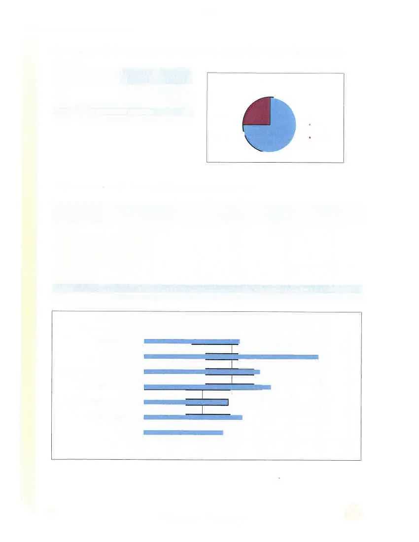
What kind of park activities/amenities need further investment?
| Answer Options | 1 | 2 | 3 |
|---|---|---|---|
| Trails | 9 | 7 | 8 |
| Water access for viewing/sitting | 2 | 9 | 8 |
| Water access for boat launches | 18 | 1 | 3 |
| Children adventure playgrounds | 2 | 3 | 4 |
| Children natural playground | 2 | 8 | 1 |
| Athletic fields | 1 | 0 | 2 |
| Natural areas | 7 | 7 | 6 |
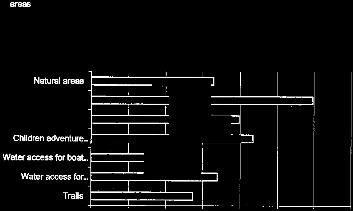
What park(s) should receive priority for improvements in the short term (3-5 years)? Please name the park(s) and type of improvement you would like to see.
- answered question | 36
- skipped question | 13
Each year a portion of your taxes goes to park improvements and maintenance. How much more would you willing to contribute to the parks system each year?
| Answer Options | Response Percent | Response Count |
|---|---|---|
| $ 0 | 5.1% | 2 |
| $ 1 - 10 | 12.8% | 5 |
| $ 11 - 20 | 23.1% | 9 |
| $ 21 - 30 | 46.2% | 18 |
| Others, please specify | 12.8% | 5 |
| answered question | 39 | |
| skipped question | 10 |

Additional Comments
- New boat access to Portage Inlet should be limited to reduce boater-ecosystem conflicts.
- Do not like Yes No in this survey. Use scale 1-5 so we could say "mostly".
- Poor survey. Each goal should be surveyed individually instead of lumped together as an all or nothing package. Survey Trend shows a decrease in children but on this survey question 5 shows 2 out of 7 questions. The whole thing seems more subjective than objective.
- RE: Q5 - I don't know that we need more, I believe what we have needs to be upgraded.
- RE: Q5 Homeless Camps is choice #2
- RE: Q5 water viewing - less access
- RE: Q5. All selections are equally important but "water access for boat launches" allow more people to enjoy nature from the water. To "not" put in a water access - boat launch, would be like throwing away the spoon that feeds you. Those who kayak and canoe generally love nature and support environmental environmental causes. More environmental awareness is increased by people having more opportunities to explore nature.
- RE: Q5 - "Urban Food Production" is #2 choice, and "Community activities that attract locals to the park" is #3 choice. Example: annual events, not all sports or dog walking. Festivals appropriate to community demographics. Not only children. More regular usage of easy to organize activities.
- RE: Q5 - Rec centre as #2 choice
- RE: Q5 - Please watch the costs, more does not mean better. What gives the greatest good for the most people.
- Linear Park - Always known as "Portage rest stop" park should be urban trails only. No parking, shallow muddy water, so no boat launch. Signage for water access is not necessary. Marked on maps is sufficient.
- Undesirable see sign and know its isolated and use to drink, drugs, etc. and garbage.
- RE: Q5 - Dog friendly Parks
- The tax payers wallet is an endangered species.
- Execute a master plan for Portage park to be done as "pay as you go". It would include tennis courts, small boat launching facilities, changers, washrooms, a second floor duplex for park staff (for park security), an emergency vehicle with C/W trailer and rescue boat access road to the launching facilities.
- Don't add any shoreline/linear pathways, this will limit rowdies, break and enter thieves, rock climbers, and enable efficient policing
- Make efficient use of the tax payers taxes
- RE: Q5 Pickle Ball Court - #1
- RE: Q5 - Need better supervision of playing fields, Centennial Park (Watering of diamonds before playing and practice to cut down on the dust, inundating surrounding houses)
- Kids paddling and swimming off Portage Park and we want sandy beach.
- RE: Q5, Off-leash dog parks is my number 1 priority
- No water access for boat launches
- Water access for viewing, sitting - but careful of eco-systems
- No water access for boat launches
- Children adventure/natural playgrounds, only if sensitive to eco-system
- We live in Saanich but Portage Inlet is a shared resource. Willing to pay money via CRD for improvements to habitat. We don't need more boats in Portage Inlet, we need to educate all about the important natural resource we have, not destroy it.
- No water access for boat launches. As long as the natural habitat is not disturbed.
- No added water access
- Don't need more artificial play areas for kids
- I hope you can leave natural areas seriously natural
- Vision is there, action is there
- If there is a development, funds need to put in a parks fund
- With waterfront access
- Harbour access is most important
- Need more access points
- Portage park used to be able to canoe in from the other side, can't anymore
- Use development to trigger more parkland
- Develop detailed plan for acquiring more parks
- Need to emphasize this in the plan
- Need to be able to get land from the province before it is sold for development
- For example: Robin Hill Farm, put some pressure on the municipality
- 17km of waterfront and no accessibility
- Helmcken is a cliff, not a useful road end
- Need free access to the ocean
7.0 Park Classifications
Aldersmith Park Size: 0.76 ha (7634 sqm) Open Lawn = 2100 sqm (approx.) Path = 240 sqm Location: Planning Areas 5 – Burnside Classification: Neighbourhood Park SEI: Woodland in northern areas (5250 sqm) Amenities:
- Natural Area
- Picnic Facilities
- Open Lawn Area
- Garbage Cans
- Walking Trail
- Off-leash Dog Area
- Benches
- Doggy Bag Dispenser Access Points:
- Meadow Park Lane
- Stoneridge Drive
- Eagle View Elementary School Signs: Metal Parks Signs at Meadow Park Lane and Stoneridge Drive Entrances Parking: Street Parking near entrances Trails: Gravel Trails in Woodland area Context:
- Adjacent to Eagle View School, separated by 3m chain link fence with a gate access - school property into the park and vice versa. Trail to gate/school connects to main trail in the park
- Residential Neighbourhood
- Stoneridge Wetland is nearby with a strong link Notes:
- Tributary stream runs along the east side of park – a drainage course/ditch/swale for the surrounding neighbourhood. Tributary stream is north of here and discharges into the wetlands.
- Natural edge around lawn area, very narrow, degraded – last year we removed a large amount of invasive species along the fence next to the school that would be that lawn area. This is why the bush line is narrow and sparse
Eagle Creek Park Size: 15748 m2 Location: Hospital Classification: Natural Greenspace SEI: Amenities: Trails (by 2017) Access Points: Watkiss Way and Little Road and there will be an access from the commercial development Signs: None at this time. Parking: None at this time. Trails: None at this time. Context: Adjacent to Eagle Creek Village, a mixed residential and commercial development. Across the street from Victoria General Hospital. Borders Saanich and properties within the Agricultural Land Reserve.
Lime Kiln Park Size: 210 m2 Location: Wilfert Classification: Special Purpose Area SEI: Amenities: Historic Lime Kiln on site is under restoration. Access Points: Hart Road Signs: None – Interpretive signage in the future. Parking: Street Trails: None Context: Residential area Notes: Park is completely fenced to keep people out for safety reasons
Edwards Park and Robin Hill Park are two separate parks Edwards Park Size: 53300 m2 Location: Atkins Classification: Community Park/Natural Greenspace SEI: Amenities: Trails, look out platform, garbage can, doggy bag dispenser Access Points: Chilco Road, Bamford Court, Mill Hill Park (CRD Park), Crystal View Park (Langford) Signs: Yes Parking: Street Parking Trails: yes Context: Adjacent to residential neighbourhoods and adjacent to Mill Hill Regional Park. Notes: See Chilco Trails Plan for details on proposed pedestrian trails.
Robin Hill Park Size: 24,300 m2 Location: Atkins Classification: Community Park/Natural Greenspace SEI: Amenities: Trails, playground, garbage cans, benches, staircase Access Points: Chilco Road, Lund Road, Haagenson Court and two private roads – Kaleigh Lane and Carly Lane Signs: Yes Parking: Street Parking (except on Carly Lane and Kaleigh Lane) Trails: yes Context: Adjacent to residential and in proximity to Mill Hill Regional Park. Notes: See Chilco Trails Plan for details on proposed pedestrian trails.
Richards Island Park Size: 5500 m2 Location: Harbour Classification: Natural Greenspace SEI: Amenities: none Access Points: Access by water only Signs: To be installed in 2016 Parking: none Trails: none Context: A small island off of Portage Park
Burnside Watkiss Park Size: 13095 m2 Location: Burnside Classification: Community Park/Natural Greenspace SEI: Amenities: Walking Trails Access Points: Watkiss Way and Burnside Road West Signs: Signs to be placed once construction is completed. Parking: Street Parking on Burnside Road West Trails: Yes Context:
- Adjacent to Eagle View Elementary School and in proximity to medium density residential uses.
- Pedestrian connections between Burnside Road West and Watkiss Way
- Close proximity to the Galloping Goose Trail (across the street) Notes: Site subject to invasive species. Developer contributions will be used for site restoration works.
Welland Legacy Park Size: 2830 m2 Location: Hospital Classification: Special Purpose Area SEI: Amenities:
- Fruit trees
- Community Orchard
- Trail connection to Galloping Goose Trail
- Small grass open area
- Picnic tables
- Building with compostable toilet/ Two Sheds Access Points: Stancil Lane, Galloping Goose Trail, Burnside Road West (Pedestrian only) Signs: Parking: Limited parking on Stancil Lane Trails: Yes-connection between The Goose and Burnside Road West Context:
- Residential neighbourhood, on boundary with municipality of Saanich.
- Provides pedestrian and cycling connections to Knockan Hill Park and Galloping Goose Trail Notes: Site is managed by Lifecycles on behalf of the Town
Heddle Park Size: 1450 m2 Location: Harbour Classification: Linear Park SEI: Amenities:
- Trail connection between Heddle Road and Island Highway
- Garbage cans Access Points: Heddle Road and Island Highway Signs: Yes Parking: none Trails: Paved trail Context: Adjacent to Public Safety Building and residential uses. Notes: This is an old roadway allowance that was decommissioned to allow the access trail/path from Island Hwy and Heddle Avenue Street Address is 325 Island Highway
Heddle Linear Connector Size: 2150 m2 Location: Harbour Classification: Linear Park SEI: Amenities: Trail connection between Heddle Road and Price Robert Drive Access Points: Heddle Road and Prince Robert Drive Signs: Don’t know – ask Deb Parking: none Trails: Context: Adjacent to Public Safety Building and residential uses. Notes: Was former utility BC Hydro ROW. Acquired by Town to facilitate pedestrian connectivity in area and to provide vegetated buffer between Public Safety Building and adjacent residential uses. Street Address is 594 Prince Robert Drive
Stancil Lane Park Size: 300 m2 Location: Hospital SEI: Amenities: none Access Points: Stancil Lane and private road – Tawny Place Signs: None at this time – have to confirm name to create sign and post it Parking: street Trails: none Context: Surrounded by single family residential Notes: I believe it is currently called Tawny Park but is to be changed to Stancil Lane Park
Portage Inlet Linear Park Size: 10005 m2 Location: Helmcken Classification: Linear Park/Shoreline Access SEI: Amenities:
- Benches
- Trails
- Water views/access
- Totem Pole
- Garbage cans Access Points: St Giles Street Signs: Parking: Limited street parking on St. Giles St. Trails: yes Context: Linear strip between Trans Canada Highway and Portage Inlet. Notes: Former Provincial Capital Commission highway rest stop. Acquired by Town in 2015. 2671 m2 of the park are located in Saanich. Possibility of a kayak/small boat launch in the future
Cheam Park Size: 6472 m2 Location: Atkins Classification: Natural Greenspace SEI: Amenities: none Access Points: Lund Road Signs: Not yet Parking: none Trails: none Context: Adjacent to residential development Notes: In proximity to known archeological sites Most likely will have a trails, signs, etc. within the park.
Thetis Vale Phase 7 Park Size: 21312 m2 Location: Atkins Classification: Community Park/Natural Greenspace SEI: Amenities: none Access Points: None at this time Signs: none Parking: none Trails: none Context: Adjacent to Mill Hill Regional Park and single-family residential subdivision. Steep slopes. Notes: Most likely will have a trails, signs, etc. within the park.
8.0 Maps
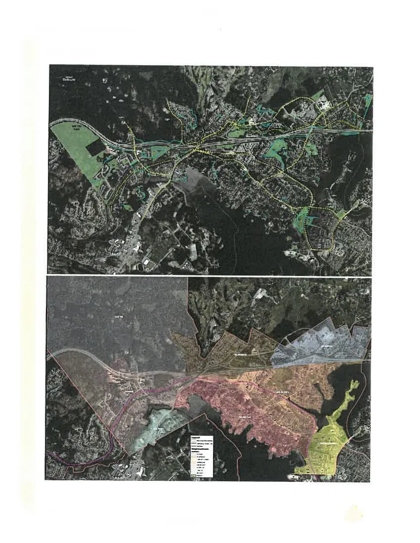
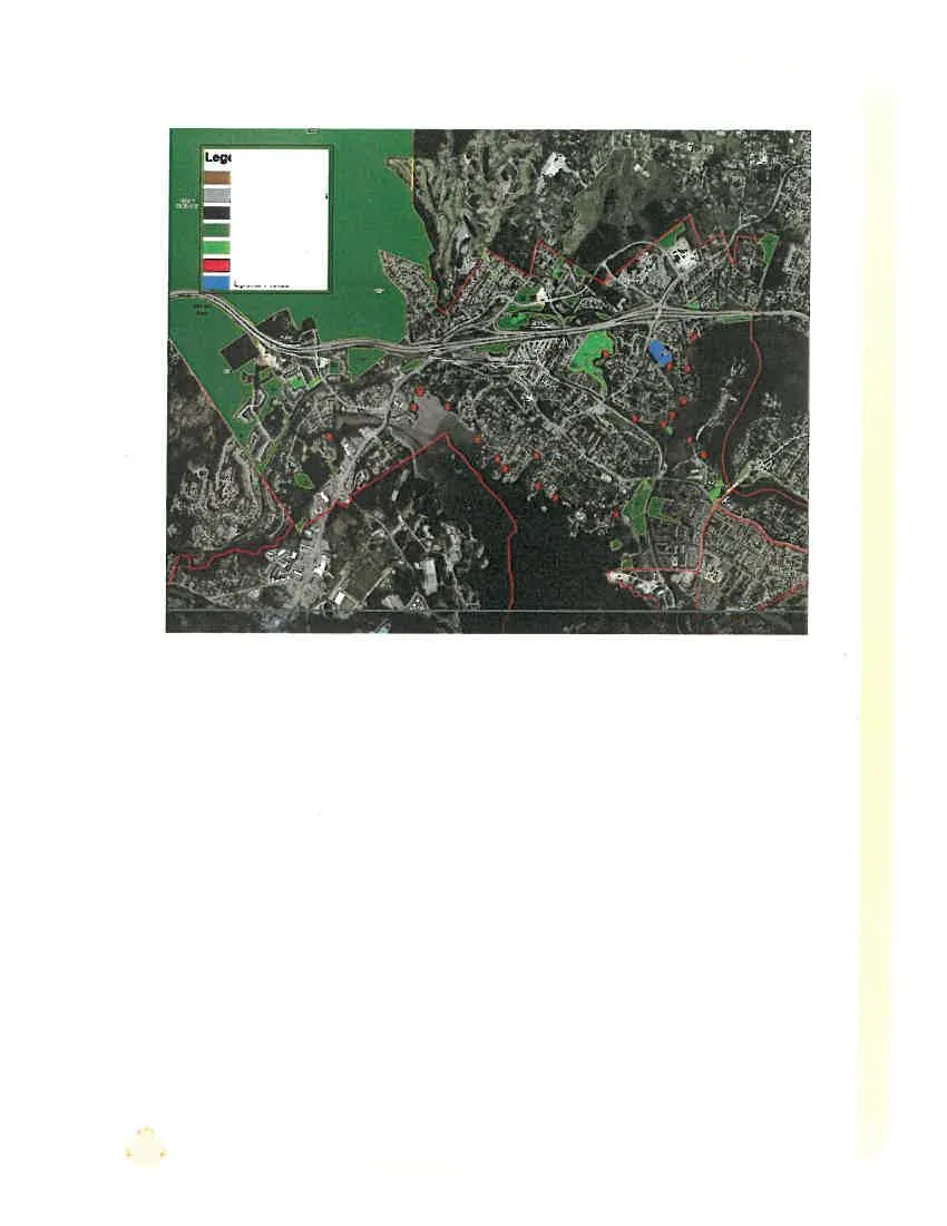
Legend
- Trails
- Courts & Playgrounds
- Hardscapes
- Natural Areas
- Open Fields & Lawns
- Ornamental
- Sports Fields