ENVIRONMENTAL DEVELOPMENT PERMIT WITH VARIANCE... 2670 HERBATE RD
Staff report reviewing a development permit application for a proposed dock on Mackenzie Lake, including a requested setback variance.
TOWN OF VIEW ROYAL
COMMITTEE OF THE WHOLE REPORT
TO: Committee of the Whole DATE: September 7, 2016 FROM: J. Davison, MCIP RPP, Planner MEETING DATE: September 13, 2016 FILE NO.: 3060-20-2016-09
ENVIRONMENTAL DEVELOPMENT PERMIT WITH VARIANCE NATURAL WATERCOURSE AND SHORELINE DP AREA 2670 HERBATE RD
RECOMMENDATION
THAT Committee receive this report for information.
CHIEF ADMINISTRATIVE OFFICER'S COMMENTS
I concur with the recommendation.
DIRECTOR OF DEVELOPMENT SERVICES' COMMENTS
I concur with the recommendation.
PURPOSE OF REPORT
The purpose of this report is to present an application for a proposed dock on Mackenzie Lake at 2670 Herbate Rd. The Development Permit will require a variance to the setback from the natural boundary of any lake, pond, marsh or stream from 30m to 0m.
Note that this dock process is different from the dock process undertaken in Esquimalt Harbour. The Private Dock Development Guidelines do not apply to freshwater dock construction. Instead, the Town’s applicable regulations and guidelines are contained within the Natural Watercourse and Shorelines Areas Development Permit Guidelines, which includes a section on dock and boat launch facility construction. The process is also regulated by federal and provincial requirements, as explained within the body of the report.
BACKGROUND
The applicant is proposing constructing a trail, elevated boardwalk, ramp and floating dock adjacent to and upon Mackenzie Lake, which is a fish-bearing lake within the Craigflower Creek watershed.
In advance of obtaining municipal approval, the applicant has satisfied federal and provincial requirements for dock construction:
- The proposal meets the Federal Department of Fisheries and Oceans (DFO) project review exemption, being floating and less than 20m² in area.
- The project has received approval from the Habitat Officer at the Ministry of Forests, Lands and Natural Resources and has received a project extension to October 15th to coincide with the Town of View Royal Council schedule.
- The included Riparian Areas Assessment, performed by a Qualified Environmental Professional at Swell Environmental Consulting, has been approved by the Habitat Officer at the Ministry of Forests, Lands and Natural Resources.
The Ministry of Forests, Lands and Natural Resources requires that the project meet their General Best Management Practices during construction.
PROJECT INFORMATION
The subject property is subject to a requirement to obtain a Development Permit according to the Shoreline and Natural Watercourse Development Permit Area (DPA). This DPA focuses on the protection of environmentally sensitive areas.
The applicant has submitted the following information in support of their application:
- Applicant's Statement – May 16, 2016
- Habitat Officer approval with extension until October 15th 2016 - Ministry of Forests, Land and Natural Resources – July 5, 2016
- Riparian Areas Regulation Assessment Report – Swell Environmental Consulting – July 6, 2016
- Site Survey – Wey Mayenburg Land Surveying Inc
- Site Plan and Elevations – Applicant – undated
- Dock Design Details – Applicant – undated
- Site Survey with Aerial Photo – Applicant – undated
- Site Survey with Aerial Photo and Site Plan – Applicant – undated
The construction of the dock also requires a variance to the setback from the natural boundary of any lake, pond, marsh or stream from 30m to 0m as described within Zoning Bylaw No. 900, 2014. Notification of the variance has been sent to properties within 100m for the September 20, 2016 meeting of Council.
ISSUES AND ANALYSIS
The proposed works are within the Natural Watercourse and Shoreline Area and must address the associated Development Permit Guidelines. A table discussing how these Development Permit Guidelines are met by the proposal is attached to this report.
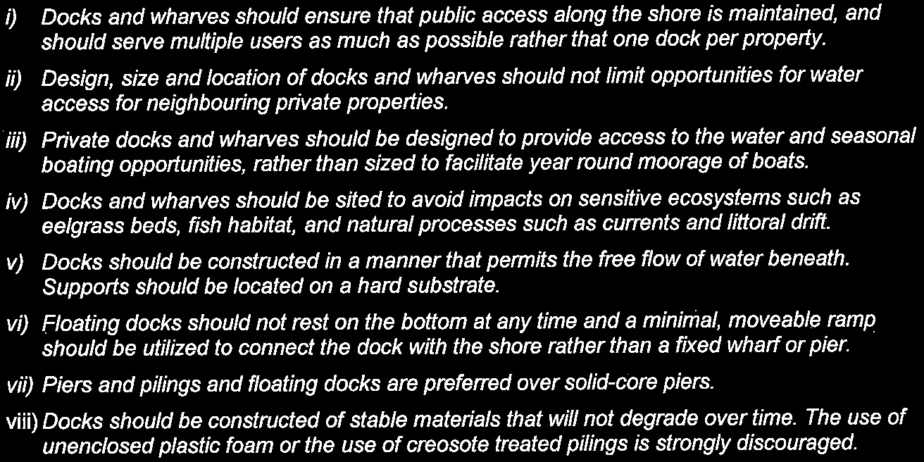
Of specific note is the section on docks and boat launches:
Guidelines – construction of new and replacement of existing docks and boat launch facilities
i) Docks and wharves should ensure that public access along the shore is maintained, and should serve multiple users as much as possible rather that one dock per property. ii) Design, size and location of docks and wharves should not limit opportunities for water access for neighbouring private properties. iii) Private docks and wharves should be designed to provide access to the water and seasonal boating opportunities, rather than sized to facilitate year round moorage of boats. iv) Docks and wharves should be sited to avoid impacts on sensitive ecosystems such as eelgrass beds, fish habitat, and natural processes such as currents and littoral drift. v) Docks should be constructed in a manner that permits the free flow of water beneath. Supports should be located on a hard substrate. vi) Floating docks should not rest on the bottom at any time and a minimal, moveable ramp should be utilized to connect the dock with the shore rather than a fixed wharf or pier. vii) Piers and pilings and floating docks are preferred over solid-core piers. viii) Docks should be constructed of stable materials that will not degrade over time. The use of unenclosed plastic foam or the use of creosote treated pilings is strongly discouraged.
The proposal meets the guidelines for dock construction.
Proposed Works
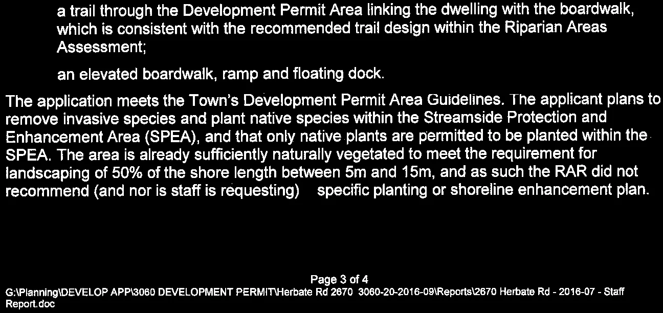
The applicant proposes:
- a trail through the Development Permit Area linking the dwelling with the boardwalk, which is consistent with the recommended trail design within the Riparian Areas Assessment;
- an elevated boardwalk, ramp and floating dock.
The application meets the Town’s Development Permit Area Guidelines. The applicant plans to remove invasive species and plant native species within the Streamside Protection and Enhancement Area (SPEA), and that only native plants are permitted to be planted within the SPEA. The area is already sufficiently naturally vegetated to meet the requirement for landscaping of 50% of the shore length between 5m and 15m, and as such the RAR did not recommend (and nor is staff is requesting) specific planting or shoreline enhancement plan.
RIPARIAN AREAS ASSESSMENT
The applicant has submitted a Riparian Areas Assessment by Swell Environmental. It is attached to this report. A Riparian Areas Assessment is designed to assess a project against the Provincial Riparian Areas Regulations, and must be performed by a Qualified Environmental Professional. The Riparian Areas Assessment addresses the proposed works specifically.
The Town received notice on July 12, 2016 that the Riparian Areas Assessment has met the assessment and reporting criteria for the Riparian Areas Regulation.
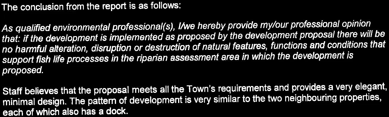
The conclusion from the report is as follows: "As qualified environmental professional(s), I/we hereby provide my/our professional opinion that: if the development is implemented as proposed by the development proposal there will be no harmful alteration, disruption or destruction of natural features, functions and conditions that support fish life processes in the riparian assessment area in which the development is proposed."
Staff believes that the proposal meets all the Town’s requirements and provides a very elegant, minimal design. The pattern of development is very similar to the two neighbouring properties, each of which also has a dock.
RECOMMENDATION
THAT Committee receive this report for information.
SUBMITTED BY: J. Davison, MCIP RPP, Planner
APPROVED BY: L. Chase, MCIP RPP, Director of Development Services
ATTACHMENTS
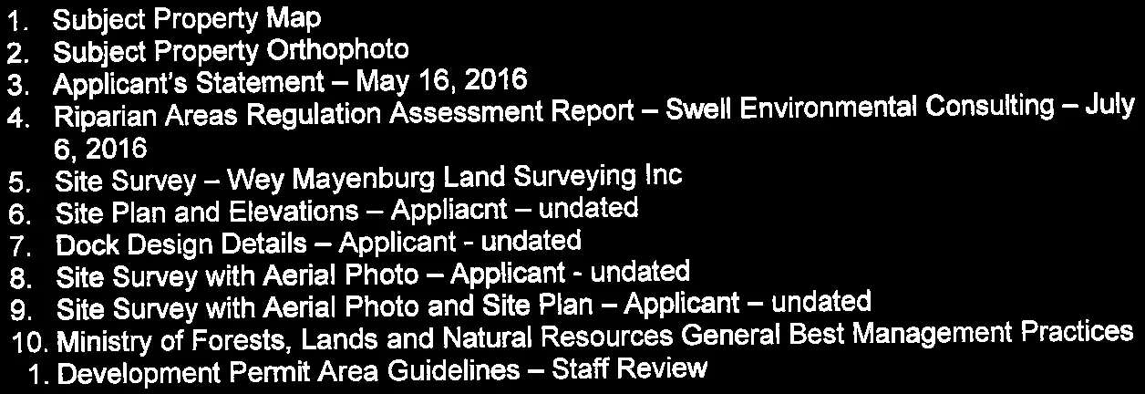
- Subject Property Map
- Subject Property Orthophoto
- Applicant's Statement – May 16, 2016
- Riparian Areas Regulation Assessment Report – Swell Environmental Consulting – July 6, 2016
- Site Survey – Wey Mayenburg Land Surveying Inc
- Site Plan and Elevations – Applicant – undated
- Dock Design Details – Applicant – undated
- Site Survey with Aerial Photo – Applicant – undated
- Site Survey with Aerial Photo and Site Plan – Applicant – undated
- Ministry of Forests, Lands and Natural Resources General Best Management Practices
- Development Permit Area Guidelines – Staff Review
Document Images
(16)