Form
DEVELOPMENT PERMIT AREA GUIDELINES - REVIEW
September 13, 2016Pages 204–2102 sections
Staff review checklist documenting how the proposal complies with Environmental Protection & Natural Hazard guidelines.
September 8, 2016Reviewer: James Davison
DEVELOPMENT PERMIT AREA GUIDELINES - REVIEW
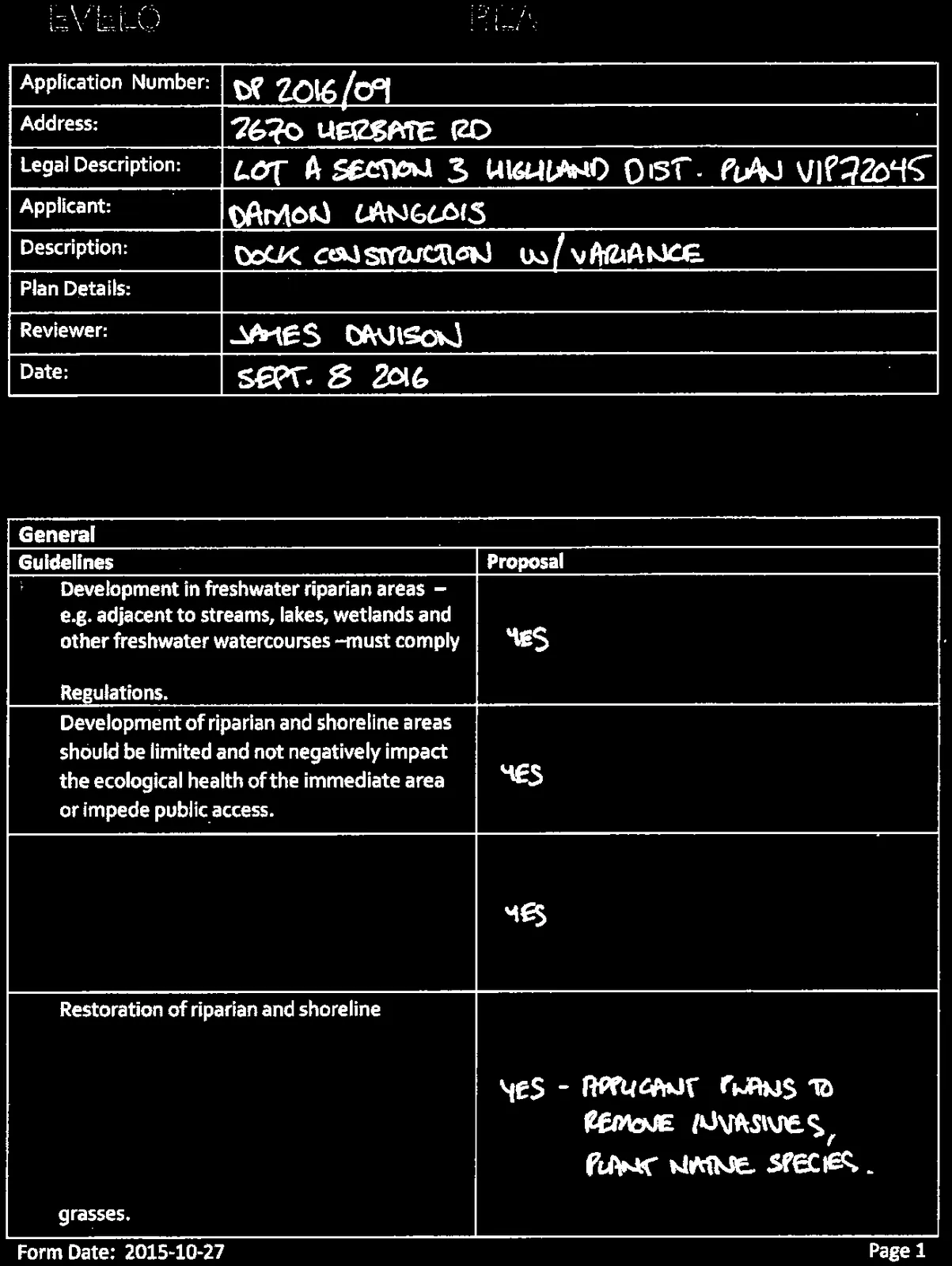
| Application Number: | DP 2016/09 |
|---|---|
| Address: | 2670 HERBATE RD |
| Legal Description: | LOT A SECTION 3 HIGHLAND DIST. PLAN VIP72045 |
| Applicant: | DAMON LANGLOIS |
| Description: | DOCK CONSTRUCTION W/VARIANCE |
| Plan Details: | |
| Reviewer: | JAMES DAVISON |
| Date: | SEPT. 8 2016 |
DEVELOPMENT PERMIT AREA: ENVIRONMENTAL PROTECTION & NATURAL HAZARD
General
| Guidelines | Proposal |
|---|---|
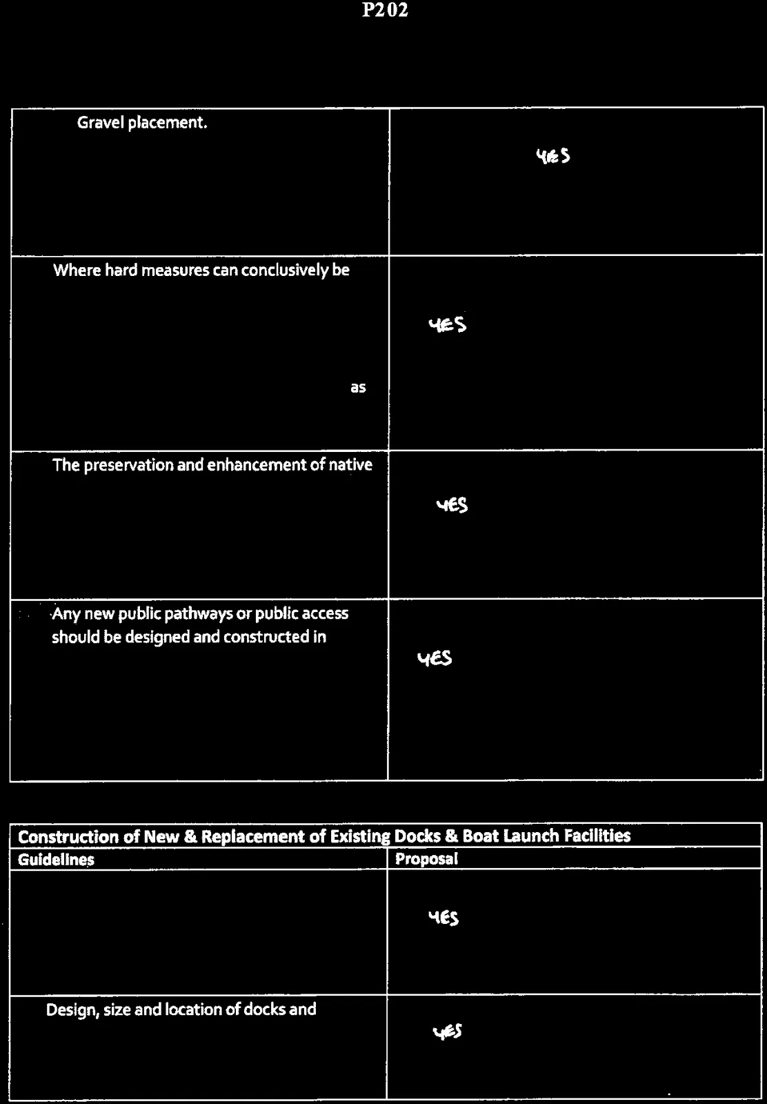
| Development in freshwater riparian areas – e.g. adjacent to streams, lakes, wetlands and other freshwater watercourses – must comply with the requirements of the Riparian Area Regulations. | YES |
| Development of riparian and shoreline areas should be limited and not negatively impact the ecological health of the immediate area or impede public access. | YES |
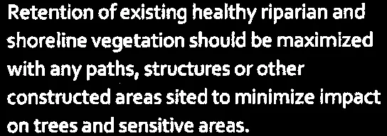 |
YES |
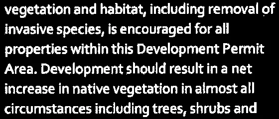 |
YES - APPLICANT PLANS TO REMOVE INVASIVES, PLANT NATIVE SPECIES. |
| Guidelines | Proposal |
|---|---|
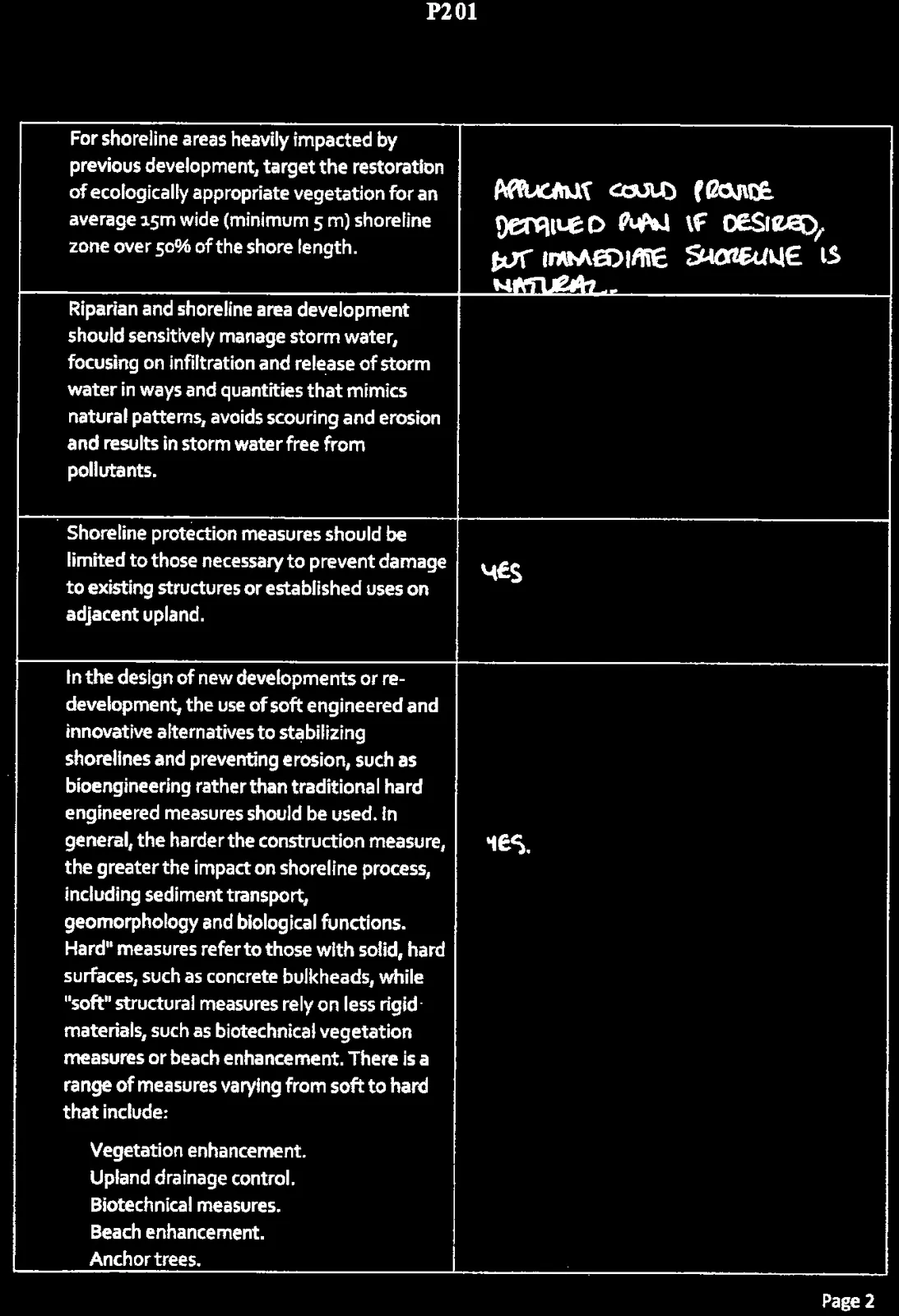
| For shoreline areas heavily impacted by previous development, target the restoration of ecologically appropriate vegetation for an average 15m wide (minimum 5 m) shoreline zone over 50% of the shore length. | APPLICANT COULD PROVIDE DETAILED PLAN IF DESIRED, BUT IMMEDIATE SHORELINE IS NATURAL. |
| Riparian and shoreline area development should sensitively manage storm water, focusing on infiltration and release of storm water in ways and quantities that mimics natural patterns, avoids scouring and erosion and results in storm water free from pollutants. | N/A |
| Shoreline protection measures should be limited to those necessary to prevent damage to existing structures or established uses on adjacent upland. | YES |
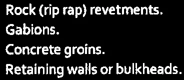
In the design of new developments or re-development, the use of soft engineered and innovative alternatives to stabilizing shorelines and preventing erosion, such as bioengineering rather than traditional hard engineered measures should be used. In general, the harder the construction measure, the greater the impact on shoreline process, including sediment transport, geomorphology and biological functions. "Hard" measures refer to those with solid, hard surfaces, such as concrete bulkheads, while "soft" structural measures rely on less rigid materials, such as biotechnical vegetation measures or beach enhancement. There is a range of measures varying from soft to hard that include:
|
YES. |
| Guidelines | Proposal |
|---|---|

|
YES |
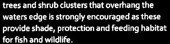 |
YES |
 |
YES |
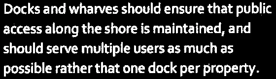 |
YES |
Construction of New & Replacement of Existing Docks & Boat Launch Facilities
| Guidelines | Proposal |
|---|---|
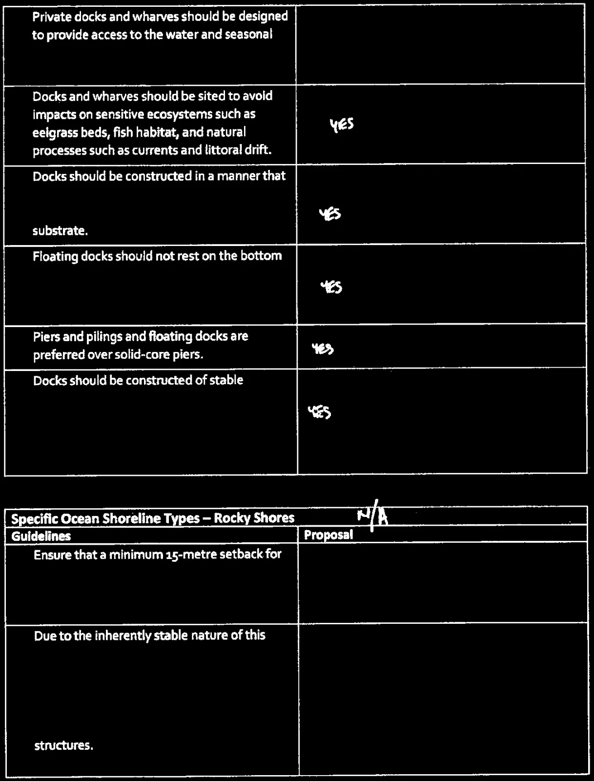 |
YES |
| Design, size and location of docks and wharves should not limit opportunities for water access for neighbouring private properties. | YES |
| Guidelines | Proposal |
|---|---|
| Private docks and wharves should be designed to provide access to the water and seasonal boating opportunities, rather than sized to facilitate year round moorage of boats. | YES |
| Docks and wharves should be sited to avoid impacts on sensitive ecosystems such as eelgrass beds, fish habitat, and natural processes such as currents and littoral drift. | YES |
| Docks should be constructed in a manner that permits the free flow of water beneath. Supports should be located on a hard substrate. | YES |
 |
YES |
| Piers and pilings and floating docks are preferred over solid-core piers. | YES |
 |
YES |
Specific Ocean Shoreline Types – Rocky Shores (Proposal: N/A)
| Guidelines | Proposal |
|---|---|
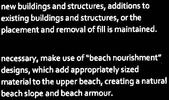
| Ensure that a minimum 15-metre setback for new buildings and structures, additions to existing buildings and structures or the placement and removal of fill is maintained. | |
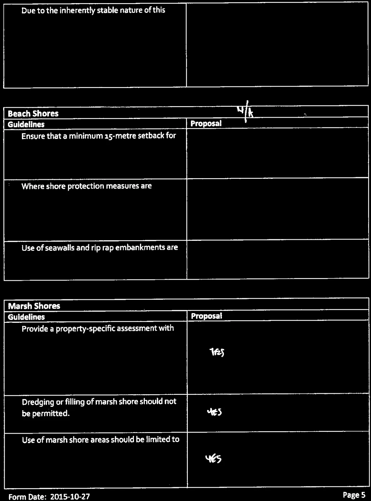
| Due to the inherently stable nature of this type of shoreline, applications for shore protection measures will generally not be accepted unless evidence is provided by a qualified coastal professional that there is a substantial risk of damage or loss of structures. |
| Guidelines | Proposal |
|---|---|
| Due to the inherently stable nature of this type of shoreline, applications for shore protection measures will generally not be accepted unless evidence is provided by a qualified coastal professional that there is a substantial risk of damage or loss of structures. |
Page 204–210
Beach Shores (Proposal: N/A)
| Guidelines | Proposal |
|---|---|
 |
|
 |
|
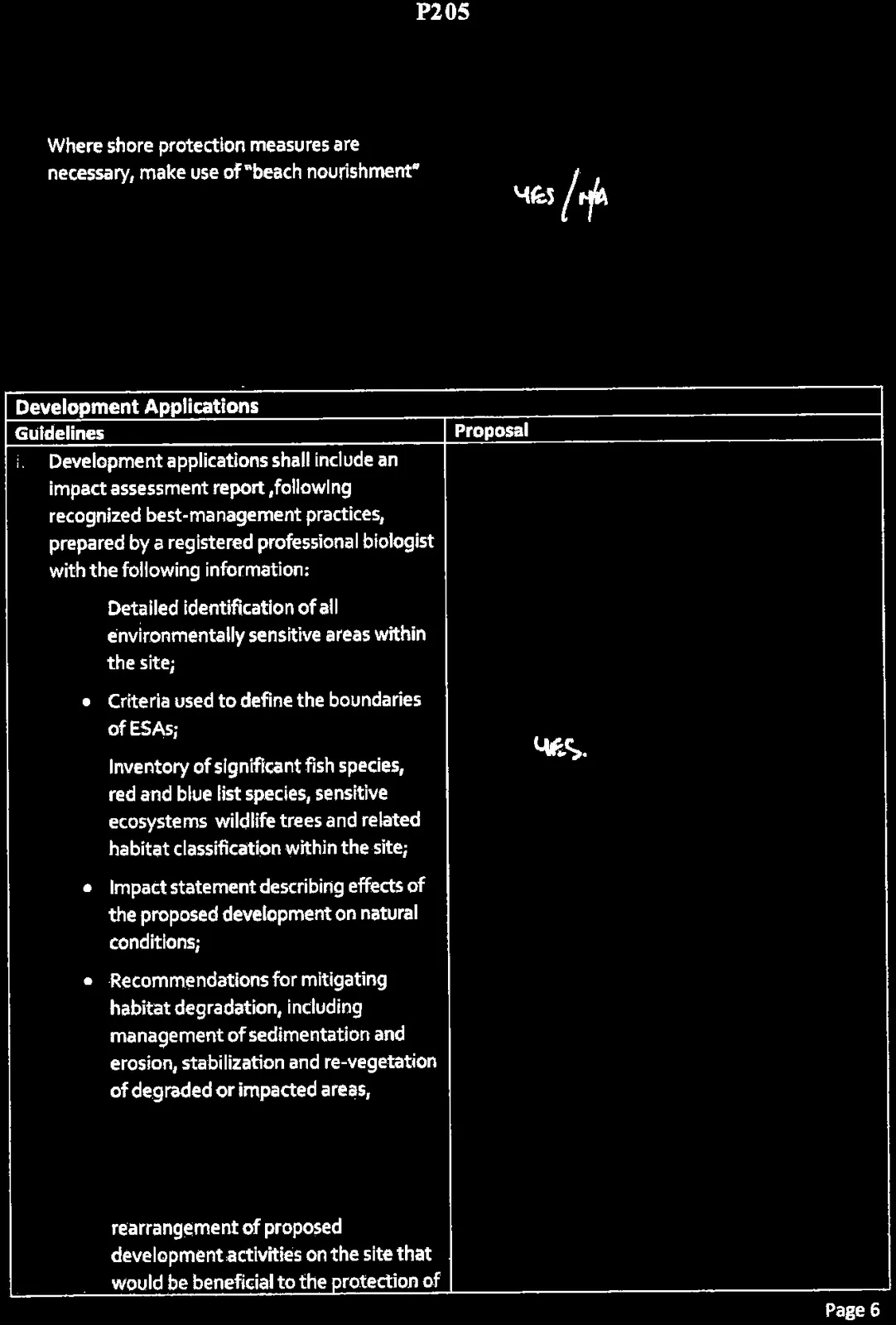
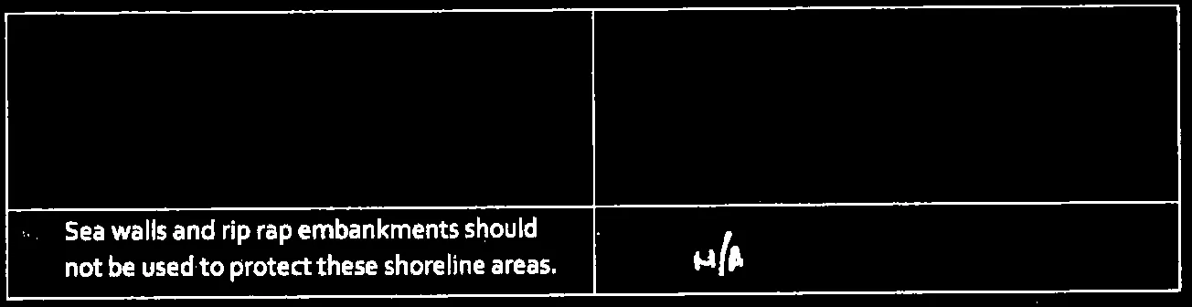
| Use of seawalls and rip rap embankments are generally not acceptable except when no alternative shore protection design is possible. |
Marsh Shores
| Guidelines | Proposal |
|---|---|
 |
YES |
| Dredging or filling of marsh shore should not be permitted. | YES |
| Use of marsh shore areas should be limited to park or conservation uses that do not require structural intrusions. | YES |
| Guidelines | Proposal |
|---|---|
 |
YES / N/A |
 |
N/A |
Development Applications
| Guidelines | Proposal |
|---|---|
i. Development applications shall include an impact assessment report, following recognized best-management practices, prepared by a registered professional biologist with the following information:
|
YES. |
| Guidelines | Proposal |
|---|---|
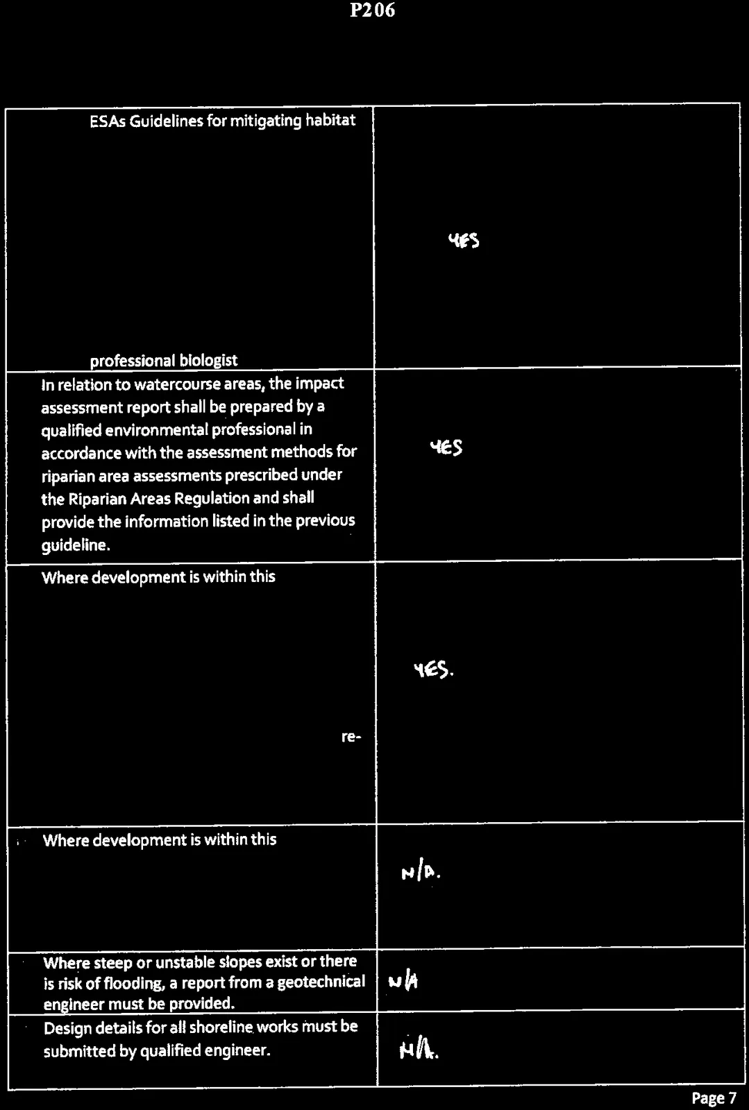
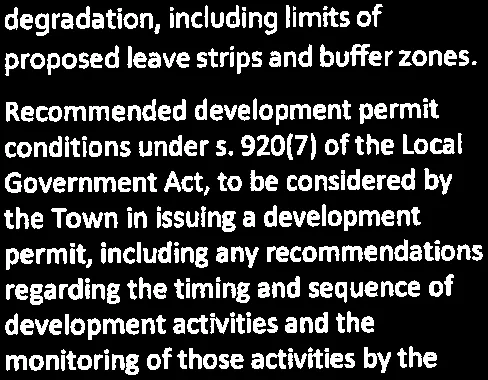
| ESAs Guidelines for mitigating habitat degradation, including limits of proposed leave strips and buffer zones. | YES |
| Recommended development permit conditions under s. 920(7) of the Local Government Act, to be considered by the Town in issuing a development permit, including any recommendations regarding the timing and sequence of development activities and the monitoring of those activities by the professional biologist. | YES |
| In relation to watercourse areas, the impact assessment report shall be prepared by a qualified environmental professional in accordance with the assessment methods for riparian area assessments prescribed under the Riparian Areas Regulation and shall provide the information listed in the previous guideline. | YES |
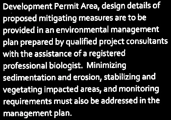
| Where development is within this Development Permit Area, design details of proposed mitigating measures are to be provided in an environmental management plan prepared by qualified project consultants with the assistance of a registered professional biologist. Minimizing sedimentation and erosion, stabilizing and re-vegetating impacted areas, and monitoring requirements must also be addressed in the management plan. | YES. |
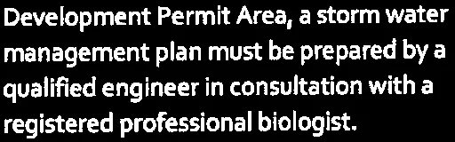
| Where development is within this Development Permit Area, a storm water management plan must be prepared by a qualified engineer in consultation with a registered professional biologist. | N/A. |
| Where steep or unstable slopes exist or there is risk of flooding, a report from a geotechnical engineer must be provided. | N/A |
| Design details for all shoreline works must be submitted by qualified engineer. | N/A. |
Page 204–210
Document Images
(14)

List of hard shoreline measures

Text snippet regarding floating docks and minimal ramp use

Text snippet regarding materials for dock construction

Text snippet regarding 15-metre setback for rocky shores

Text snippet regarding property-specific assessment for marsh shores


Repeated text snippet regarding beach nourishment for marsh shores
Text snippet regarding identification of development-free areas


Extracted from: 2016 09 13 Committee of the Whole Agenda