Environmental Assessment - 55 Tovey Crescent
Professional biological assessment of the property to determine impacts of construction on the Natural Watercourse and Shoreline Development Permit Area.
ENVIRONMENTAL ASSESSEMT
55 Tovey Crescent, View Royal, BC
for: Jean McKay 55 Tovey Crescent View Royal, BC V9B 1A4
by: Gina Sage Madrone Environmental Services Ltd.
December 1, 2015
DOSSIER: 15.0345
TABLE OF CONTENTS
- INTRODUCTION .................................................................................................... 1
- SITE DESCRIPTION ................................................................................................ 2
- ENVIRONMENTALLY SENSITIVE AREAS ................................................................ 2
- RECOMMENDATIONS .......................................................................................... 4
1 Introduction
Madrone Environmental Services Ltd. (Madrone) was retained by Jean McKay (the landowner) to conduct an environmental assessment (EA) at 55 Tovey Crescent. Madrone understands that the landowner is submitting a Development Permit Application to the Town of View Royal for construction of an additional storey to the existing house. Madrone further understands that the proposed development will be completed without altering undisturbed portions of the property.
The property is identified in Schedule Q of the Official Community Plan (OCP) as being in a Natural Watercourse and Shoreline Development Permit Area (DPA). This DPA was designated under the Local Government Act Section 919.1(1)(a) for the establishment of objectives and the provision of guidelines for the purpose of protecting the natural environment, its ecosystems and biological diversity from development. The DPA was established to “ensure that the ecological value of sensitive watercourses and shoreline areas have been considered prior to development and measures will be taken to limit or avoid damage to these ecosystems”. In this case, the DPA includes all upland and foreshore areas within 15 metres of the natural boundary of the sea. Development within the DPA must not occur without the prior approval of the Council of View Royal. Under View Royal Zoning Bylaws, development within this DPA includes:
- Altering lands, including soil disturbing activities and removing or altering vegetation;
- Subdividing lands; or
- Constructing or altering a building or structure.
Under the Natural Watercourse and Shoreline DPA Guidelines within the OCP, a rocky ocean shoreline “consists primarily of rock platform, and may include steep cliffs or shelves overlain with beach veneer of boulders, gravel or rubble”. Rocky ocean shoreline types are subject to a minimum 15 m setback from the natural boundary. This applies for new buildings, structures, additions to existing buildings and structures or the placement and removal of fill is maintained.
In some cases, specific types of development are exempt from requiring a development permit under the Natural Watercourse and Shoreline DPA Guidelines. Developments that are exempt include: the repair, maintenance, alteration or reconstruction of existing legally or legally nonconforming sited buildings, structures or utilities provided there is no alteration of undisturbed land or vegetation.
2 Site Description
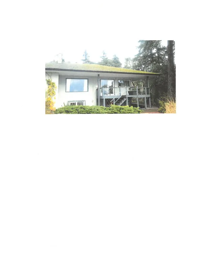
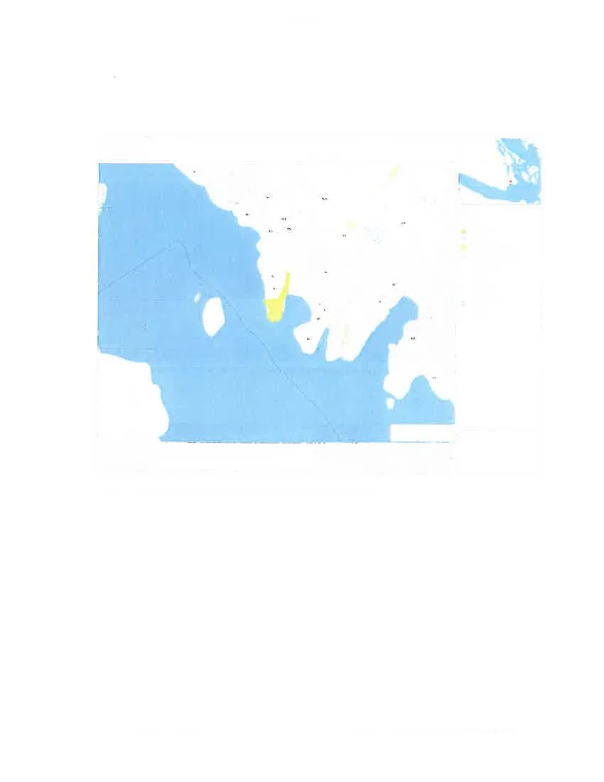
Madrone Conducted the EA on November 14, 2015. The property is approximately 0.38 hectares and bound by a developed residential lot to the north, and Esquimalt Harbour to the east, west and south. The property has been extensively developed and contains a single-family dwelling, landscaped garden beds, manicured lawn, a deck, paved surfaces, carport and floating dock.
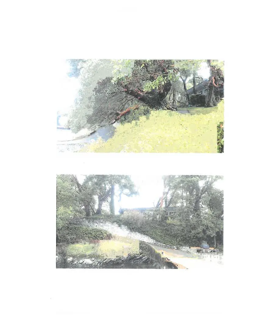
Mature trees were noted on the property at the time of the assessment. Dominant tree species include Douglas-fir (Pseudotsuga menziesii) and arbutus (Arbutus menziesii). The trees line the perimeter of the property and the west side of the house. With the exception of the lawn, the majority of native herb and shrub growth is confined to landscaped garden beds.
3 Environmentally Sensitive Areas
Prior to conducting the site visit, the Ministry of Environment’s Species and Ecosystem Explorer database was queried for known occurrences of provincially listed (red and blue) species. In addition, the online Wildlife Tree Stewardship Atlas (WiTS) was reviewed for known bald eagle (Haliaeetus leucocephalus), great blue heron (Ardea herodias), and osprey (Pandion haliaetus) nest locations. The database searches did not reveal any occurrences or nest locations of species of concern.
During the site visit, no listed wildlife species were observed on the property and no signs of use to indicate nesting by raptors were detected. It should be noted that although no species of special concern were observed and no evidence of use detected during the site visit, does not imply that the property is not used or inhabited by listed species.
Mature Douglas-fir and arbutus trees were scattered around the property and offered potential habitat for a variety of bird and small mammal species. These trees are considered to be the most sensitive features of the property and efforts should be made to protect such features during all phases of construction. Both species of trees are protected under View Royal’s Tree Protection Bylaw No. 695, 2009, where a “protected” tree is defined as:
a) Garry Oak (Quercus garryana); b) Arbutus (Arbutus menziesii); c) Pacific Dogwood (Cornus nuttallii); d) Pacific Yew (Taxus brevifolia); e) Douglas Fir (Pseudotsuga menziesii); f) Grand Fir (Abies grandis); g) Big Leaf Maple (Acer macrophyllum); h) Sitka Spruce (Picea sitchensi); i) Sequoia (Sequoiadendron giganteum); j) Coast Redwood (Sequoia sempervirens); k) Western Red Cedar (Thuja plicata); l) Any tree having a diameter greater than 30 centimetres; and m) Any tree protected by a restrictive covenant
Protected trees are not to be altered without the prior approval of the Council. Under the Tree Protection Bylaw, “alter” is defined as:
a) to remove the top portion of a tree; b) to remove from a tree or damage any trunk, piece of tree bark or any branch that is 5 centimeters or more in diameter; to cut, damage or destroy by any means the roots of a tree within the protected root zone; and c) to change the drainage characteristics of the area within the drip line of a tree
4 Recommendations
Prior to the Council’s review of the Development Permit Application, no construction or development is to occur within 15 m of the natural high boundary of the sea. During all phases of construction, all contractors and sub-contractors on site should follow Best Management Practices such as outlined in B.C. Ministry of Environment’s Develop with Care manual.
Also, during all phases of construction, measures must be implemented to prevent protected trees and their roots from incurring any damage as defined in the Tree Protection Bylaw 695, 2009. Prior to altering a protected tree, the landowner is required to submit a Tree Removal or Alteration Permit Application to the View Royal Council for review.
To minimize deleterious substances from entering Esquimalt Harbour as a result of construction, building materials must be contained to the site at all times and should be covered during periods of moderate to high wind and rain. Stock piles of building materials must be placed in a location where protected trees and their roots will not be altered or injured. It is recommended to use the paved areas north or west of the house for stock piling and accessing building materials as these areas provide the least risk to protected trees and from deleterious substances entering the marine environment.
The increase in storm water runoff as a result of the development is not expected to be a concern. The new addition will minimally increase the impermeable footprint on the lot and the existing storm water infrastructure is expected to manage any increase in volume with little to no complications.
Under the OCP the property is in a DVPA and the rocky ocean shoreline of the property requires a 15 m setback distance from all new developments and re-developments and any development proposed within the setback will require a DVP; however, as per OCP guidelines the nature of the proposed development is exempt from requiring a development permit. Considering the property has been extensively altered through anthropogenic influences and undisturbed areas are limited, the proposed development is expected to be completed without further altering the property. Soil and vegetation will not be further impacted. The proposed development is expected to present a low risk to the remaining natural features of the property.
Photos
Document Images
(35)












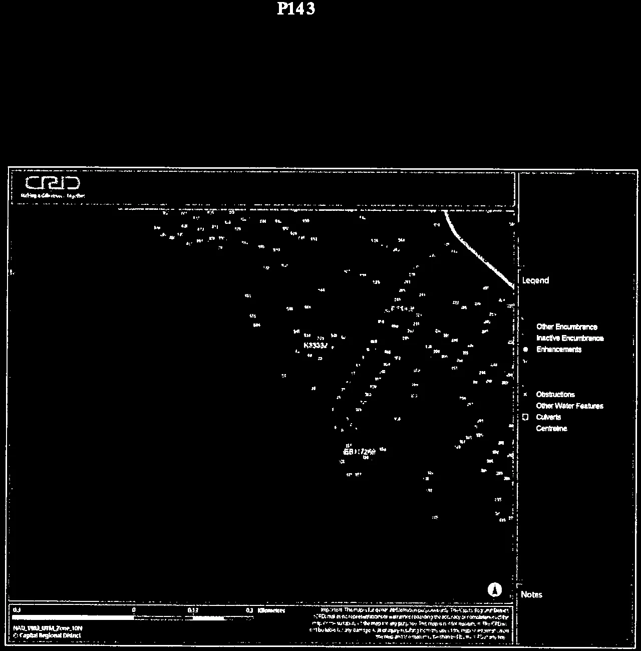

Photo 1. Looking south at the existing single-family dwelling. Note the level of anthropogenic disturbance on site
Photo 2. Looking southeast at the property. This area is recommended as an access point and for storage of building materials during construction. The trees are to remain protected and unaltered during construction.
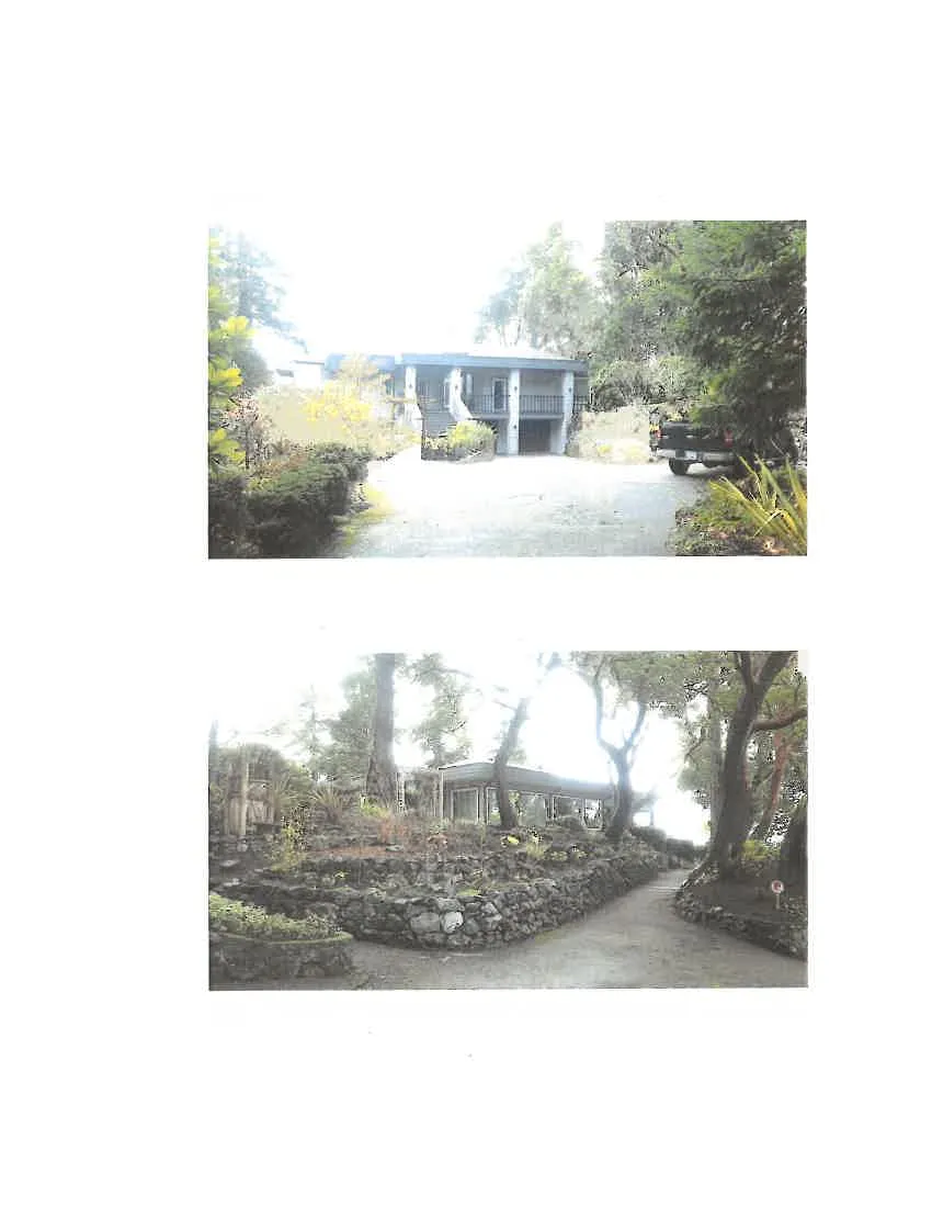

Photo 4. The foreshore as seen from the floating dock.