This site is in beta — data may be incomplete and features are still being added.
Committee of the Whole/Documents/Attachment 3: Subject Property Map (PID 024-860-824)
Appendix

Attachment 3: Subject Property Map (PID 024-860-824)

December 13, 2016Page 261 section

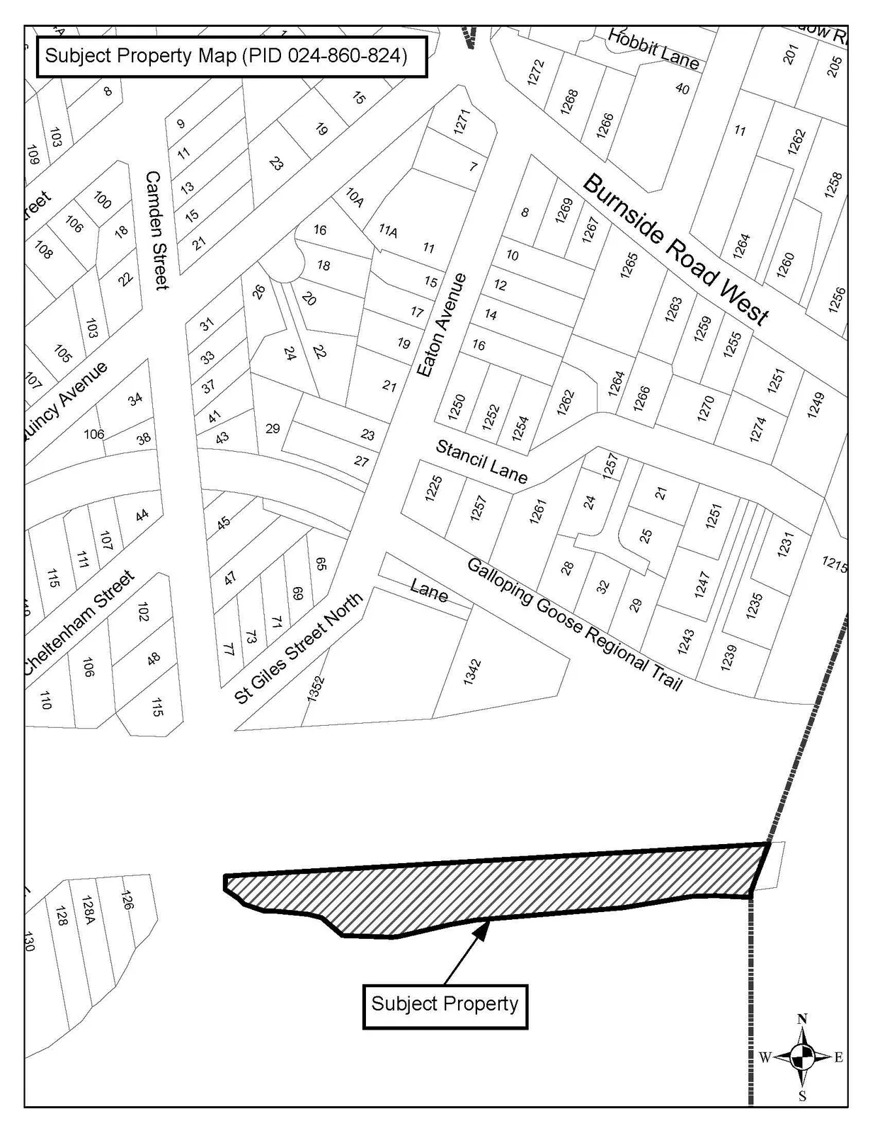
Subject property map for the Portage Inlet linear park site.

6.3.3.a Park Naming (Report dated December 6, 2016 from the Director of Development Services)
Location: Linear park adjacent to Portage Inlet

Subject Property Map (PID 024-860-824)

Map showing the location of the Subject Property, indicated by a hatched area, situated south of St Giles Street North and adjacent to the Galloping Goose Regional Trail. The map also shows surrounding streets including Burnside Road West, Eaton Avenue, Stancil Lane, Camden Street, Quincy Avenue, and Cheltenham Street.
Page 26
Extracted from: 2016 12 13 Committee of the Whole Agenda - Agenda - Pdf